Elevation of Highway 76, CA-76, Pala, CA, USA
Location: United States > California > San Diego County > Pala >
Longitude: -117.06371
Latitude: 33.3641655
Elevation: 132m / 433feet
Barometric Pressure: 100KPa
Elevation Map:
Satellite Map:
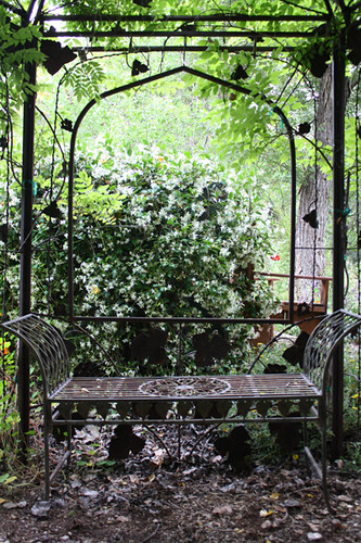
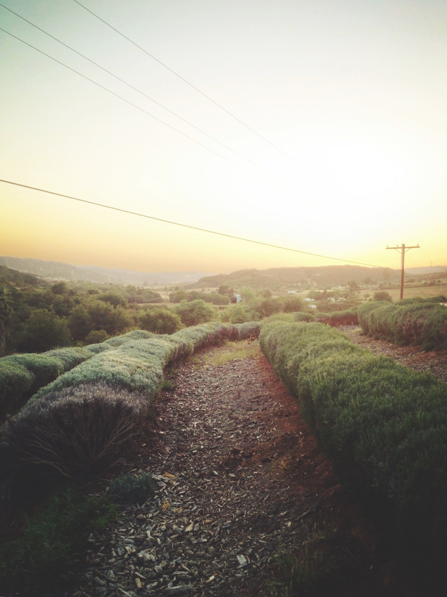
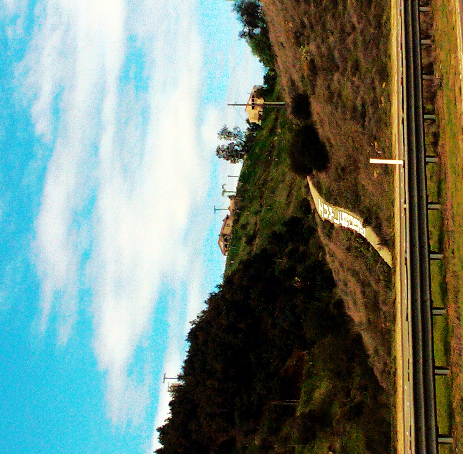
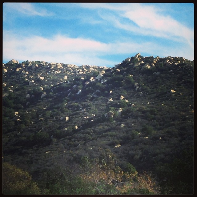
Related Photos:
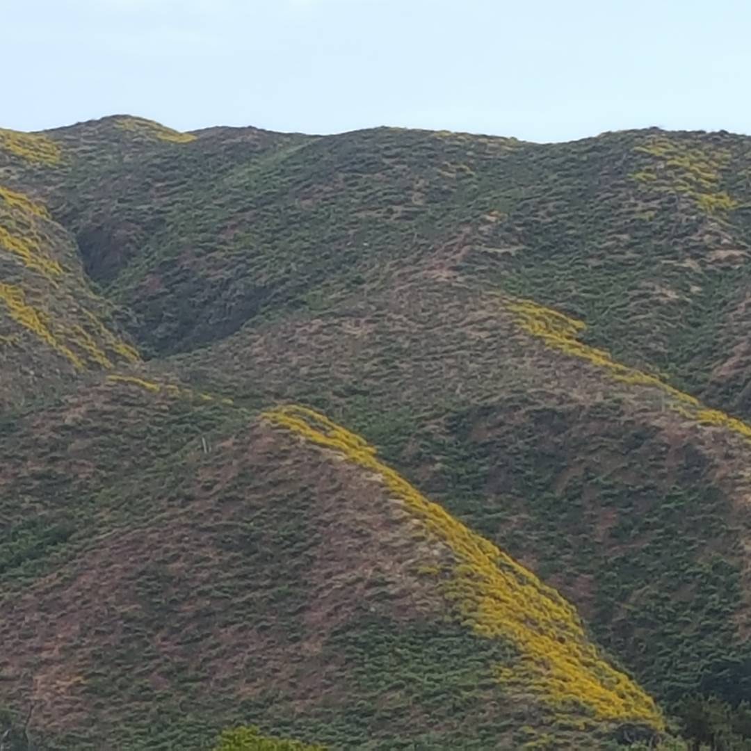
Dreaming of Oahu, but this view of the Superbloom from @GalwayDowns... will just have to do. #MountPalomar looks all dressed up for spring 2017... isn't she beautiful? #springbreak #spring #landscape #landscapephotography #mountainmajesty
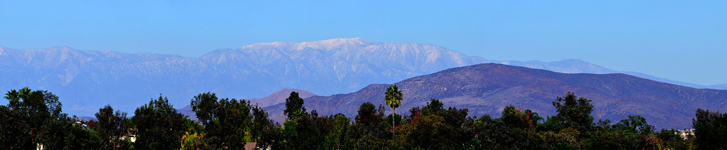
Distant snow, about 60 miles away
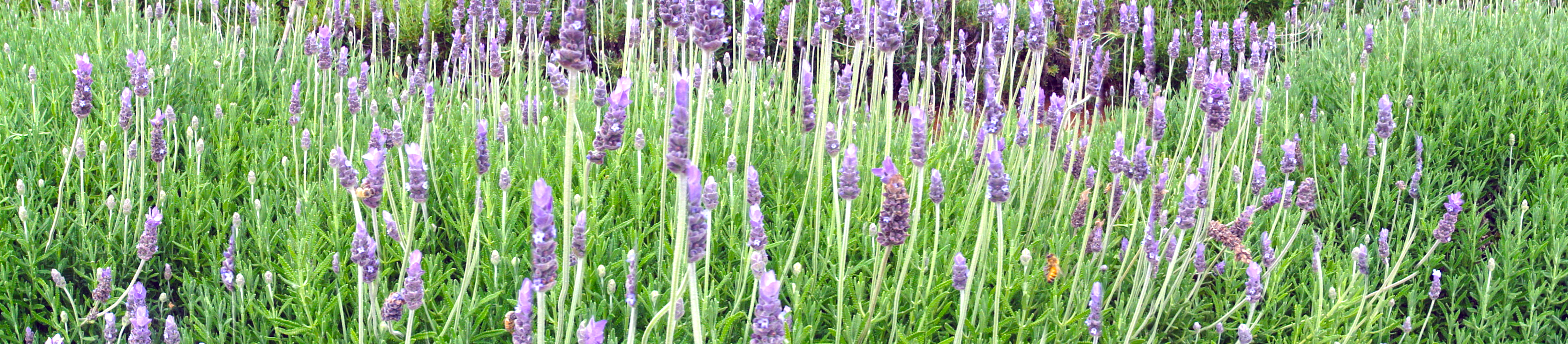
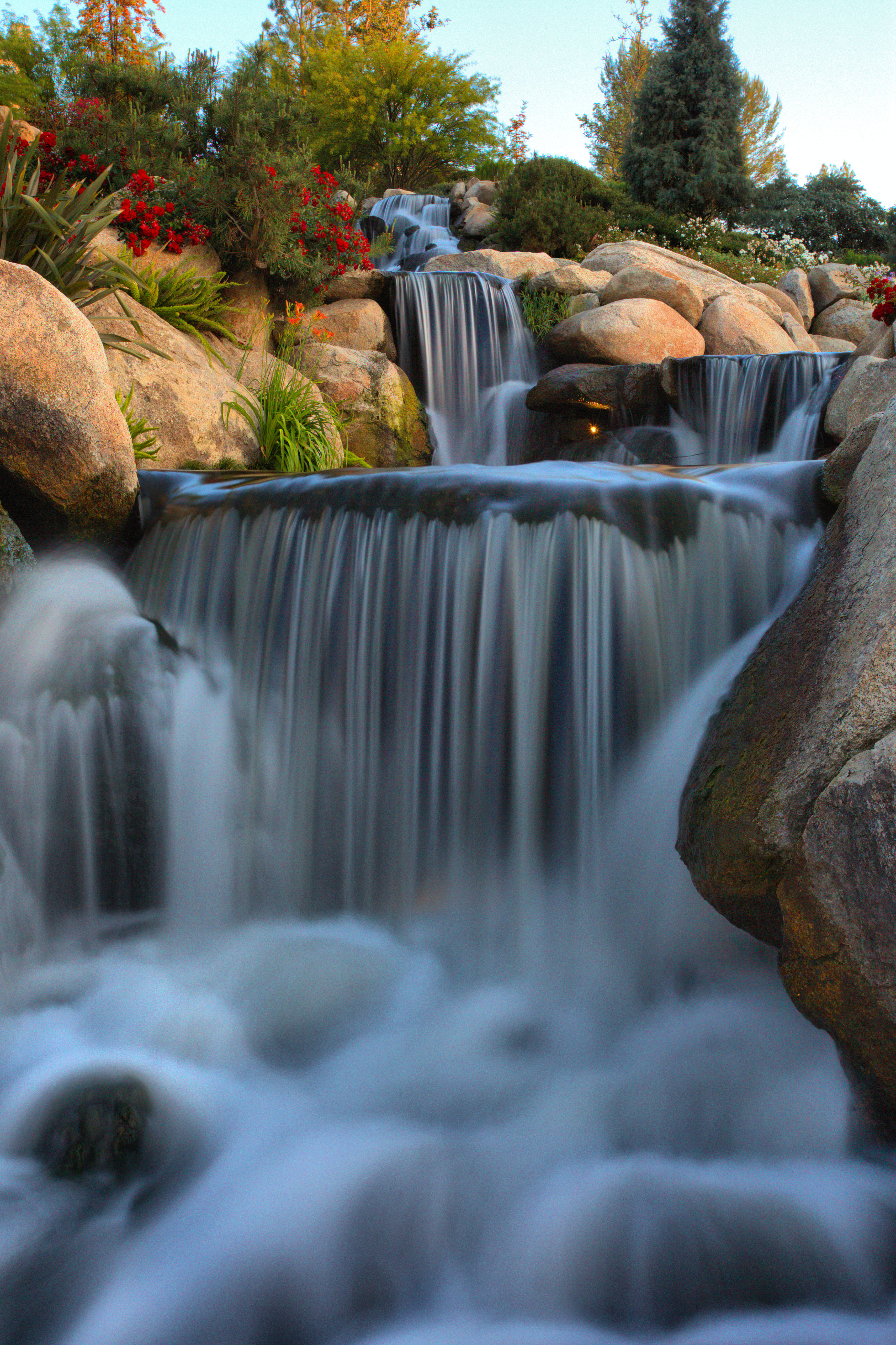
Lavender Farm 12
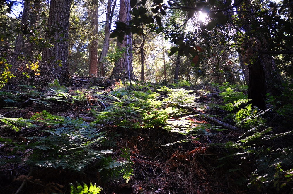
Doane Valley forest
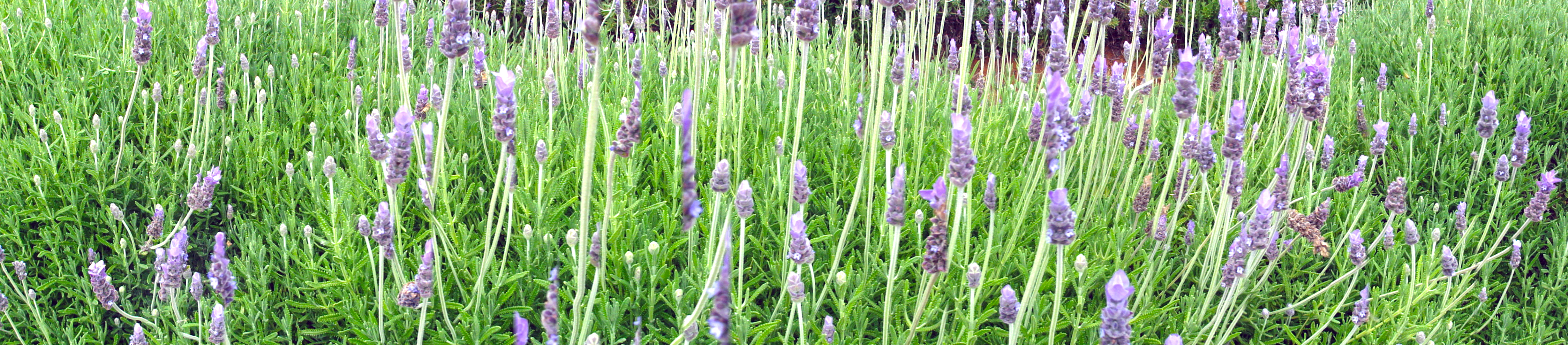
Lavender Farm 13
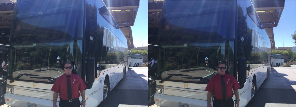
Skipper Gary is proud to be of five-star service with his double-deck VanHool TD925 inter-urban Astromega 81 passenger Motor Coach, #6362 in the Mcoach San Diego fleet.
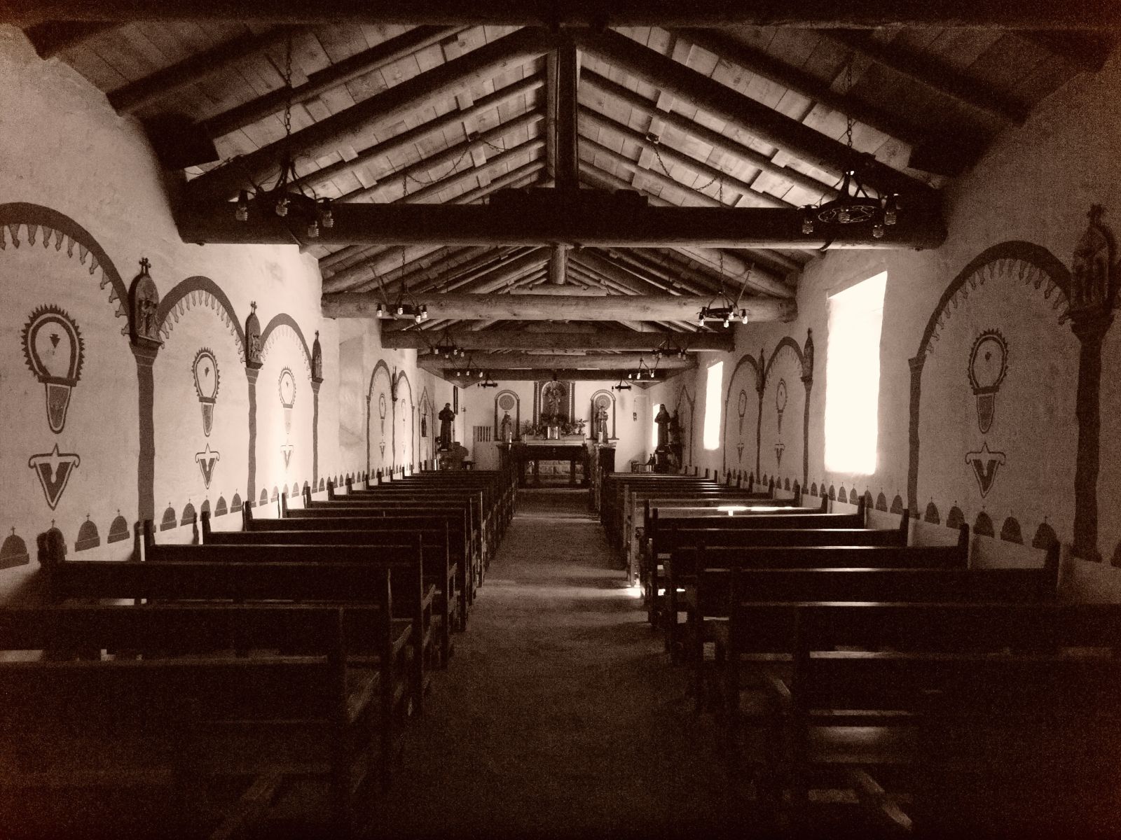
Another view in sepia
Pala View

Lavender Farm 18

One last view, so sad to leave here!
Panorama looking south across the street from the library

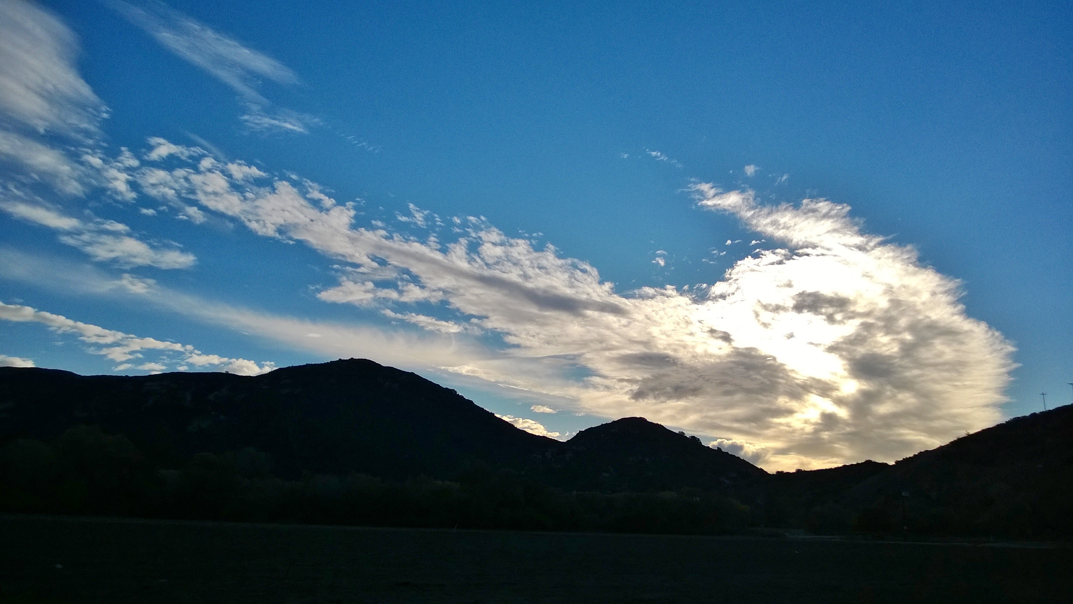
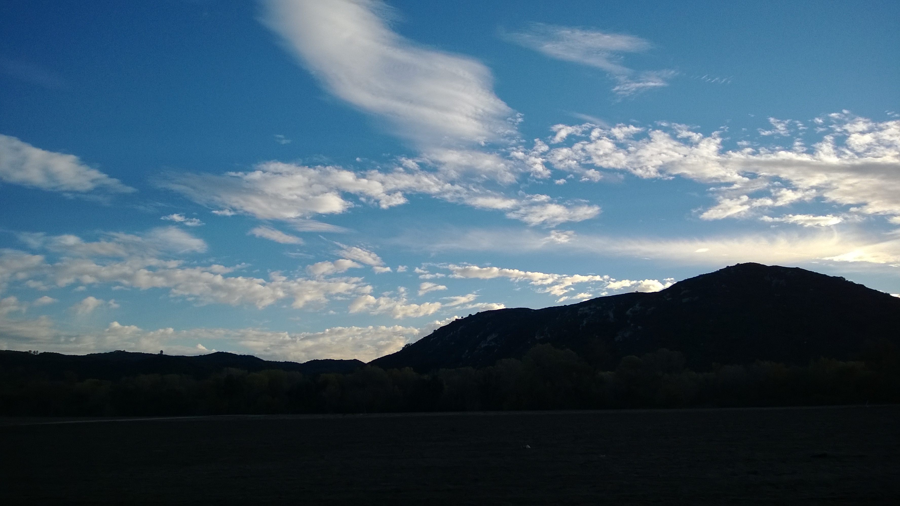
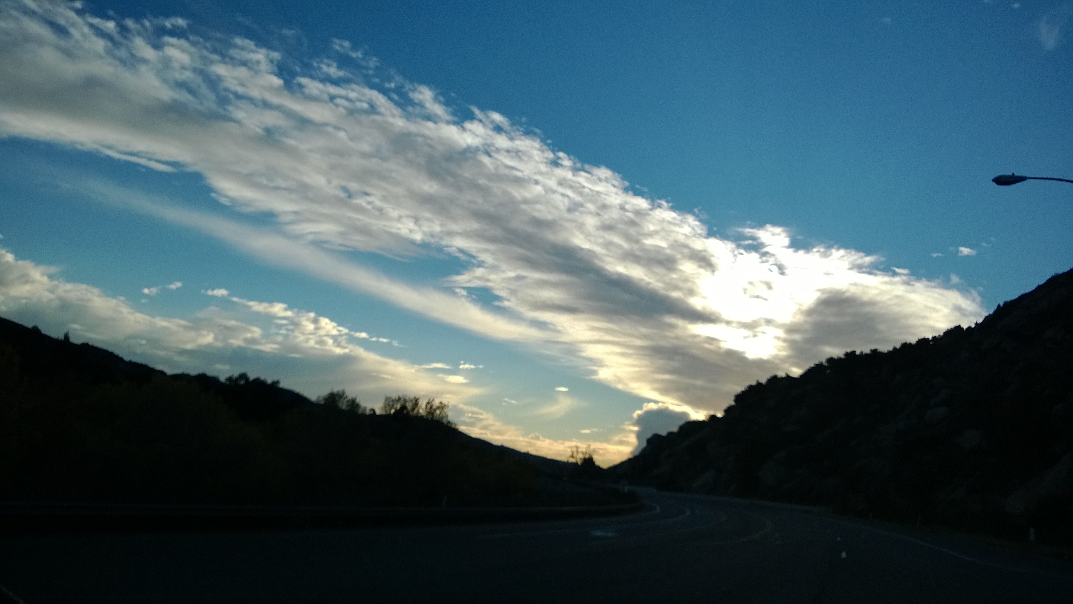
Pala Sunset Panorama

why do I feel this way?
IMG_0135.JPG
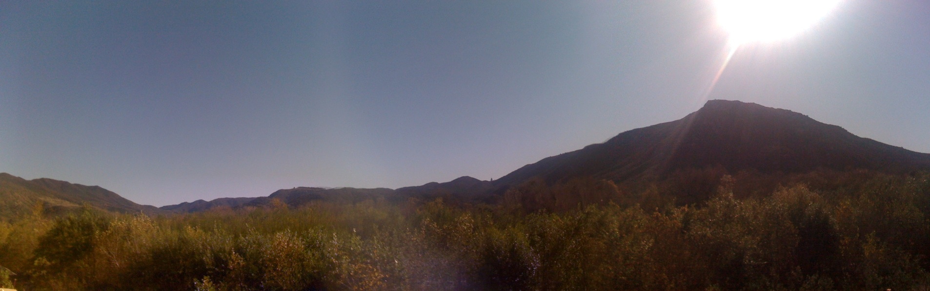
Scenic view from Palomar Mountain
Mount Palomar view

Came back to Palomar Mtn. The view is so clear today all the way to the coastal line!
Mount Palomar view
Successful day one shoot at Harrah's. It was quite the hike to get to this view and I tore my pants (one of my 3 pairs ) getting to this spot. the payoff was well worth it. #socal #southerncalifornia #escondido #californialove #timelapse #panorama #life
View from the trail this morning, celebrating the Grateful Run/Hike.
Cole Grade Road, Pauma Valley, CA
THE END RESULT, EXPLORED #54
WP_20131211_051.jpg
WP_20131211_052.jpg
WP_20131211_059.jpg
WP_20131211_062.jpg
Palm Springs - 2017
Morning fog hanging low
Lavender Farm 9

IMG_0976-2

The pitch looks pretty good tonight #pitch #soccer #TemeculaValleyShootout #Albion
Moment of Peace
Keys Creek Lavender Farm
Ivy League
Lovely light and shadows. #california #landscape

Before Sunrise
Topographic Map of Highway 76, CA-76, Pala, CA, USA
Find elevation by address:

Places near Highway 76, CA-76, Pala, CA, USA:
Magee Road
37537 Magee Rd
15593 Adams Dr
15415 Happy Hollow
14176 Pauma Vista Dr
777 Pauma Reservation Rd
31390 Regina Glen
14261 Tyler Rd
17763 Mesa Verde Dr
31290 Manzanita Crest Rd
15476 Womsi Ln
12415 Mesa Verde Dr
32231 Cuesta De Camellia
Alisa Place
31373 Kira Pl
31373 Kira Pl
30654 Palomar Vista Dr
Pauma Valley Country Club
Pauma Valley
Luiseno Cir Dr, Pauma Valley, CA, USA
Recent Searches:
- Elevation of Congressional Dr, Stevensville, MD, USA
- Elevation of Bellview Rd, McLean, VA, USA
- Elevation of Stage Island Rd, Chatham, MA, USA
- Elevation of Shibuya Scramble Crossing, 21 Udagawacho, Shibuya City, Tokyo -, Japan
- Elevation of Jadagoniai, Kaunas District Municipality, Lithuania
- Elevation of Pagonija rock, Kranto 7-oji g. 8"N, Kaunas, Lithuania
- Elevation of Co Rd 87, Jamestown, CO, USA
- Elevation of Tenjo, Cundinamarca, Colombia
- Elevation of Côte-des-Neiges, Montreal, QC H4A 3J6, Canada
- Elevation of Bobcat Dr, Helena, MT, USA