Elevation of Highgate, Jamaica
Location: Jamaica > St. Mary Parish >
Longitude: -76.892272
Latitude: 18.2722961
Elevation: 296m / 971feet
Barometric Pressure: 98KPa
Elevation Map:
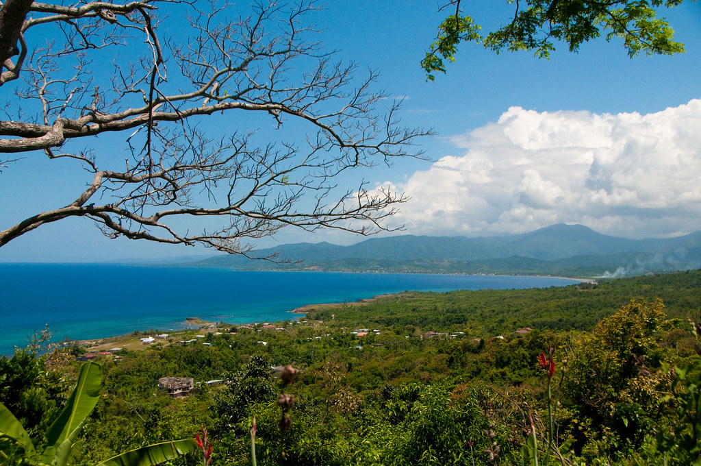
Satellite Map:
Related Photos:
Robins Bay - Jamaica

view in the junction

View from Nöel Coward's home via Mr. Blackwell

Annotto Bay Sunset

Robins Bay St. Mary Jamaica (1)

Entering Port Maria

Carbarita Island

St. Mary Church

Sailing the North Coast

Sailing the North Coast

Silly fun at Strawberry Fields

my hills

@artirix это тебе не армия #vsco #vscocam #vscofilm #vscogood #vscoedit #vscogrid #nature #streetphotography #naturelovers #nature_perfection #wanderlust #landscape #instagood #instamood #instadaily #bestoftheday #picoftheday #procamapp #16x9 #forest #s
Topographic Map of Highgate, Jamaica
Find elevation by address:

Places near Highgate, Jamaica:
Orange River Research Center
Troja
Wag Water River
Annotto Bay
Temple Hall
Noland Hill
Coopers Hill
Golden Spring
Mulleth Hall
Red Hills Road
Stony Hill
Greenwood Drive
Greenwood Drive
Greenwood Drive
Havendale
Buff Bay
Park Avenue
Clydesdale Avenue
Weymouth Drive
3 Earls Ct
Recent Searches:
- Elevation of Woodland Oak Pl, Thousand Oaks, CA, USA
- Elevation of Brownsdale Rd, Renfrew, PA, USA
- Elevation of Corcoran Ln, Suffolk, VA, USA
- Elevation of Mamala II, Sariaya, Quezon, Philippines
- Elevation of Sarangdanda, Nepal
- Elevation of 7 Waterfall Way, Tomball, TX, USA
- Elevation of SW 57th Ave, Portland, OR, USA
- Elevation of Crocker Dr, Vacaville, CA, USA
- Elevation of Pu Ngaol Community Meeting Hall, HWHM+3X7, Krong Saen Monourom, Cambodia
- Elevation of Royal Ontario Museum, Queens Park, Toronto, ON M5S 2C6, Canada