Elevation of High View, WV, USA
Location: United States > West Virginia > Hampshire County >
Longitude: -78.407750
Latitude: 39.2310172
Elevation: 389m / 1276feet
Barometric Pressure: 97KPa
Elevation Map:
Satellite Map:
Related Photos:

ELEVATED SCENERY
INDIAN HOLLOW
FRONT YARD VIEW

Over 800 views! Thanks everyone

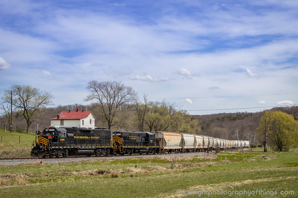
Winchester & Western WB Sand Man, Indian Hollow, VA

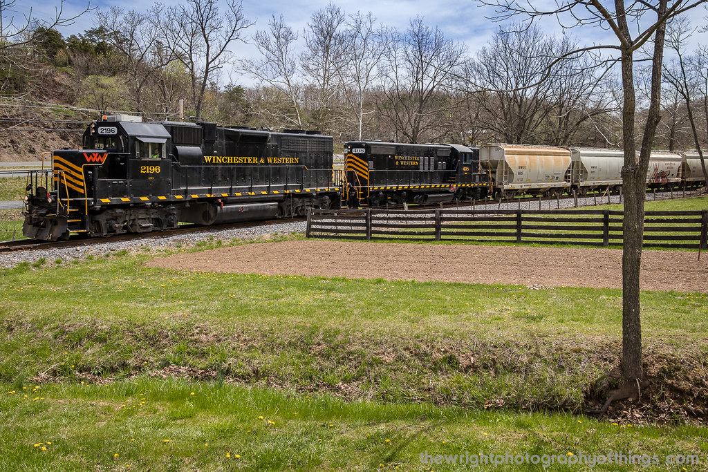
Winchester & Western EB Sand Man, Indian Hollow, VA

We weren't expecting the waist-deep snow-drifts... neither were my shoes, but this view made it worth the pain.???? (debatably)

Kevin and Camaro in High View

The #morning #panorama #view from the #cottage @ #caponsprings

Taking in the view from the #frontporch of the #oldredstore in #caponsprings

Thidawan and My New Camaro

The view from the front yard of the Hagan's house

VIRGINIA HIGHLANDS

SANDMAN ROLLING DOWNHILL

GIVING ALL THEY GOT

FILTERED HEIGHTS

UP ROUND HILL

GAP RUN

VALLEY FARMLAND

INDIAN HOLLOW

INTO THE SUN

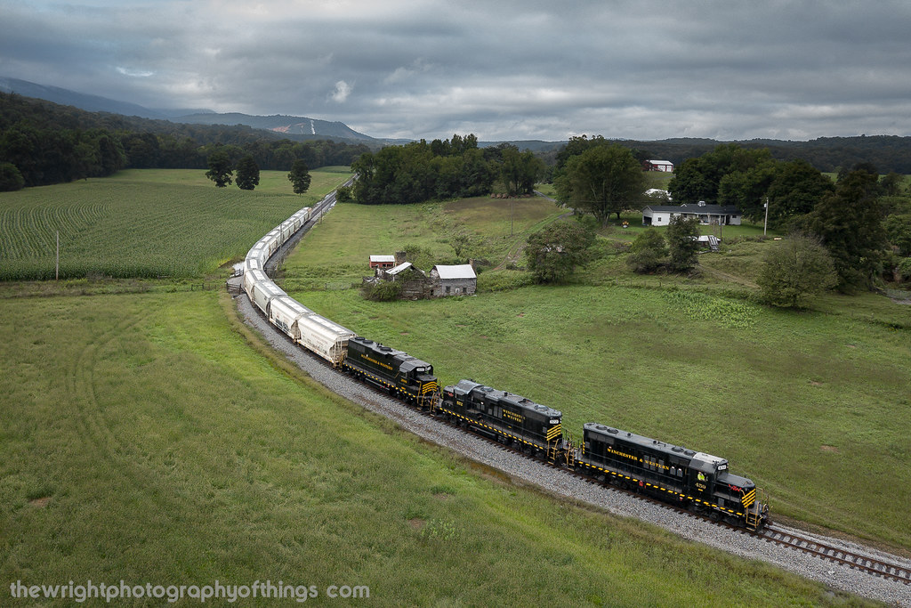
THE SANDMAN COMETH!
UP THE VALLEY (EXPLORED 9/15/18)

Fall at the creek within Capon Springs and Farms

Pine Draft Farm in Hampshire County, W.Va.
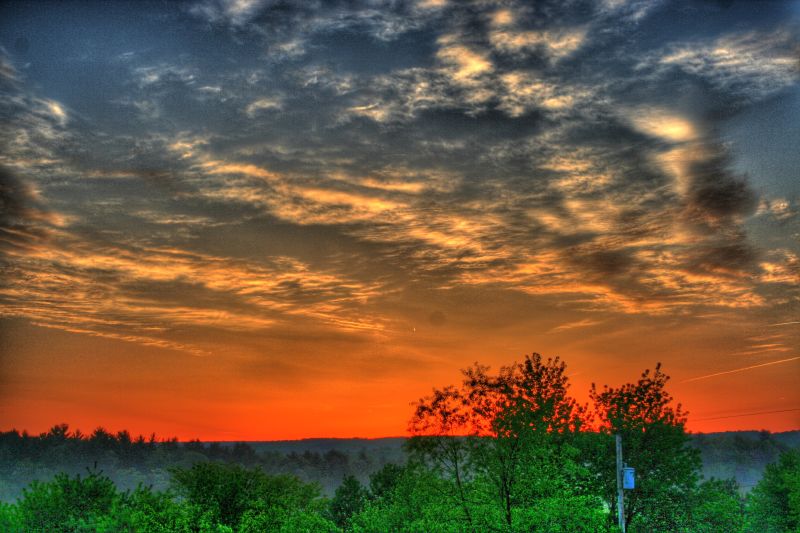
Sunrise over NSSA

Pine Draft Farm in Hampshire County, W.Va.

The peaceful #northriver meandering along the base of #icemountain #northrivermillsday #northrivermills #almostheaven #wildandwonderful #westvirginia #hampshirecountywv

#viewfromthetop #ravenrock #icemountain #northrivermillsday #northrivermills #almostheaven #wildandwonderful #westvirginia #wv_igers #scenicviews #hampshirecountywv

35°F on a 75°F day! ❄️ #ice vents along the #algific #talus slopes of #icemountain #northrivermillsday #northrivermills #almostheaven #wildandwonderful #westvirginia (FYI that's a sheet of ice along the bottom of the ice vent)

Pine Draft Farm in Hampshire County, W.Va.

Thumpers Daylily Farm -Joe 4
Topographic Map of High View, WV, USA
Find elevation by address:

Places near High View, WV, USA:
1207 N Hooks Mill Rd
Lehew
1000 Northwestern Turnpike
1855 Ritter Dr
100 Hummingbird Ln
100 Hummingbird Ln
Bailey Lane
Capon Bridge
Haines Drive
27 Sycamore Dr
31 Monroe St, Capon Bridge, WV, USA
783 Ritters Valley Dr
128 Carson Dr
Cooper Mountain View Drive
1895 Becks Gap Rd
1895 Becks Gap Rd
1831 Becks Gap Rd
1831 Becks Gap Rd
1831 Becks Gap Rd
1831 Becks Gap Rd
Recent Searches:
- Elevation of Groblershoop, South Africa
- Elevation of Power Generation Enterprises | Industrial Diesel Generators, Oak Ave, Canyon Country, CA, USA
- Elevation of Chesaw Rd, Oroville, WA, USA
- Elevation of N, Mt Pleasant, UT, USA
- Elevation of 6 Rue Jules Ferry, Beausoleil, France
- Elevation of Sattva Horizon, 4JC6+G9P, Vinayak Nagar, Kattigenahalli, Bengaluru, Karnataka, India
- Elevation of Great Brook Sports, Gold Star Hwy, Groton, CT, USA
- Elevation of 10 Mountain Laurels Dr, Nashua, NH, USA
- Elevation of 16 Gilboa Ln, Nashua, NH, USA
- Elevation of Laurel Rd, Townsend, TN, USA