Elevation of High Spirit Trail, Westcliffe, CO, USA
Location: United States > Colorado > Westcliffe >
Longitude: -105.28869
Latitude: 38.0329263
Elevation: 2781m / 9124feet
Barometric Pressure: 72KPa
Elevation Map:
Satellite Map:
Related Photos:
The Southern Rocky Mountains Stretching on and on Across the Colorado Landscape

Back in Time

Target Practice

View to the N/NW form the property

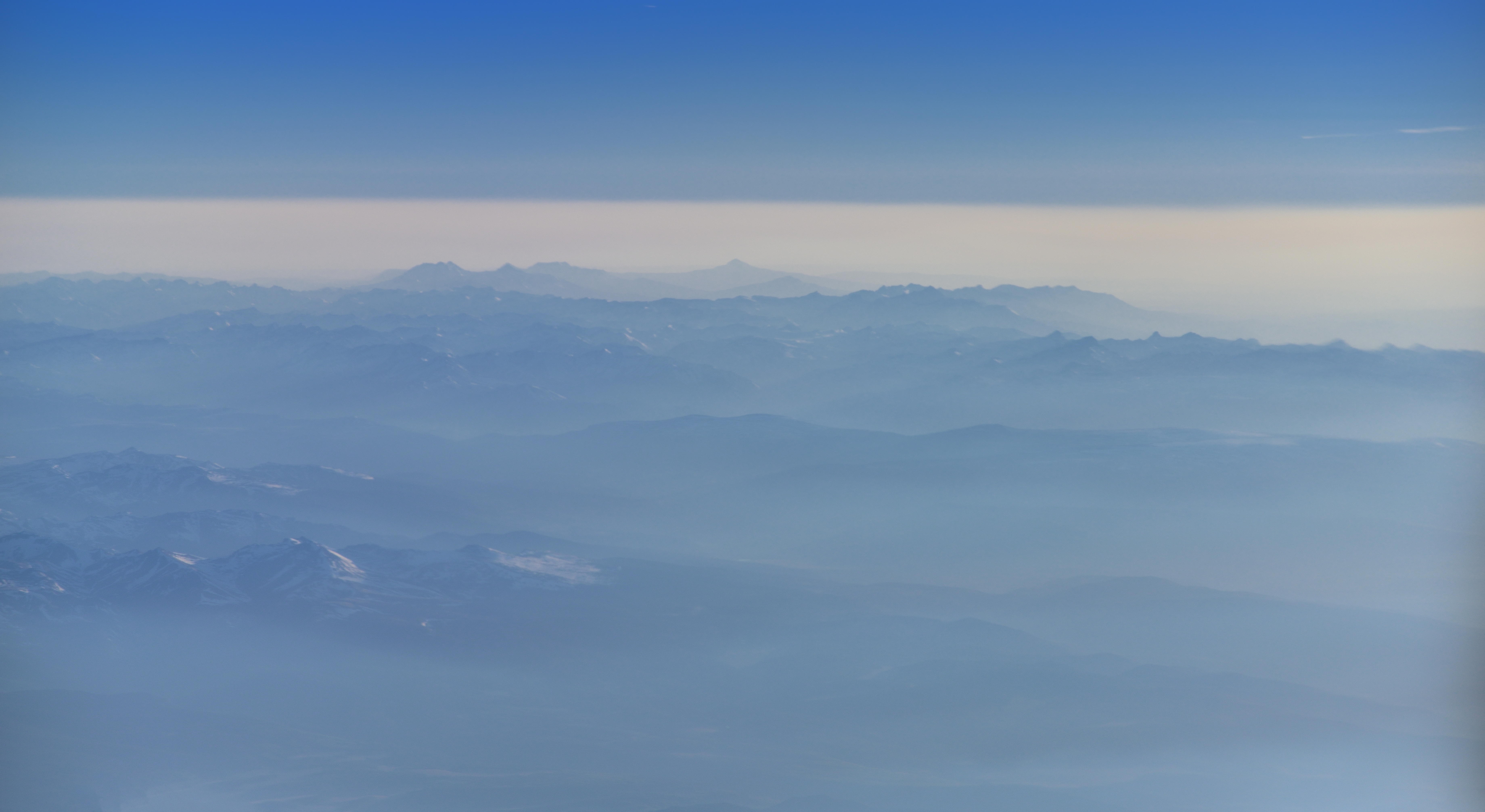
Aerial view from plane

View to the N/NW form the property

Sangre Panorama

Aspens in orange
Dusty Dead End

Storm Coming In 1-2

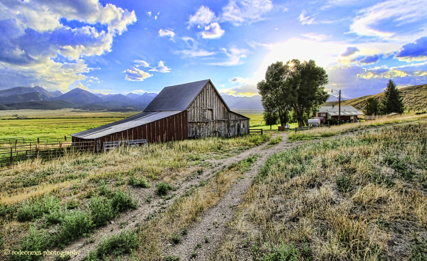
Farm of the Wet Mountain Valley

Low Clouds

Little House on the Prarie

Sangre de Cristo Mountains
Setting Rays

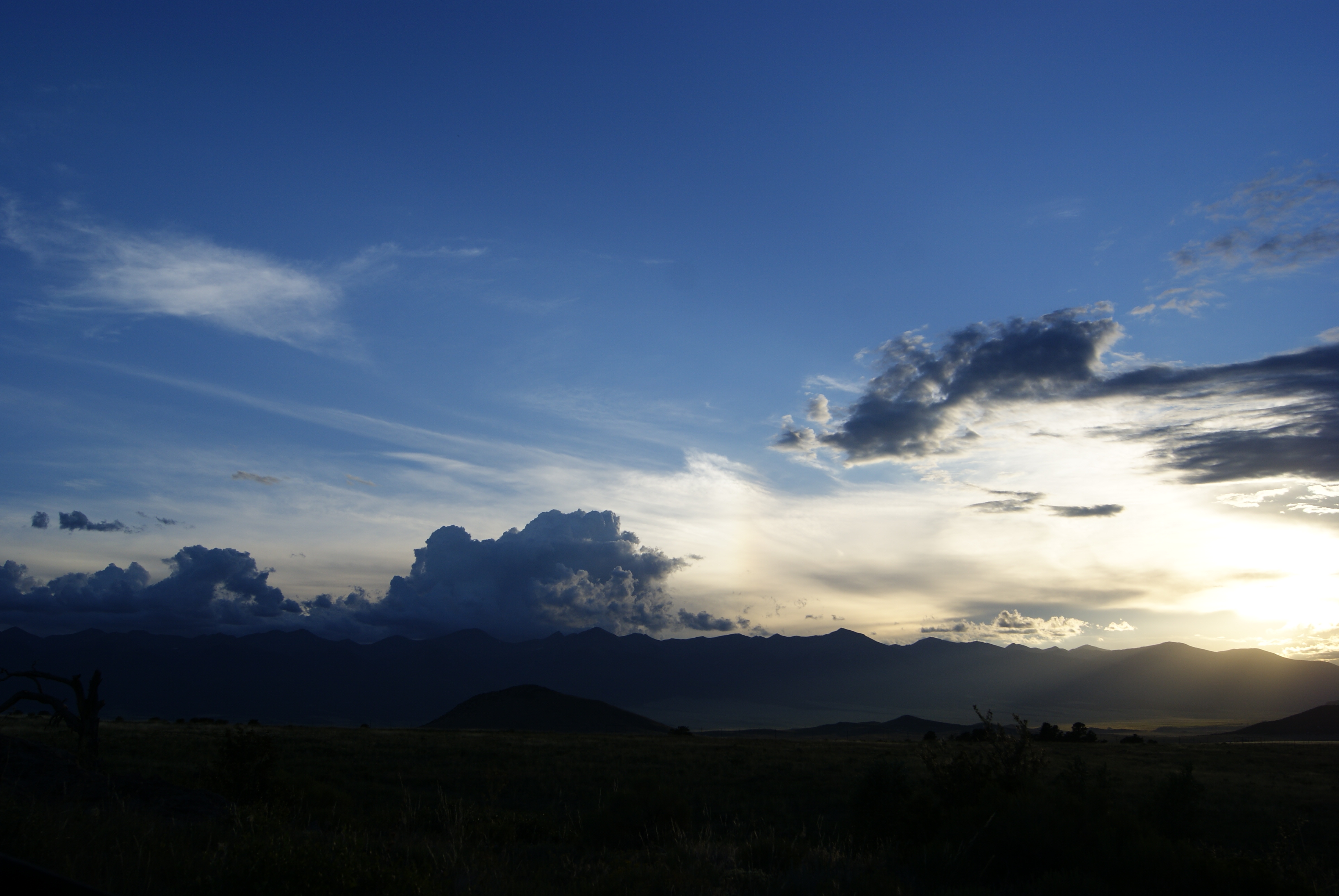
Watching the Storm Coming 1-1

San Isabel National Forest

Layers near Westcliffe

Beaver Dam

Long Shadows
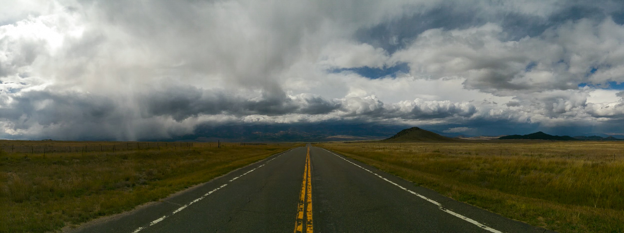
Into the storm

Colorado June 2015

Nice House

Poor Girl Mine
Topographic Map of High Spirit Trail, Westcliffe, CO, USA
Find elevation by address:

Places near High Spirit Trail, Westcliffe, CO, USA:
1963 Music Mountain Dr
997 Joy Ln
230 Schulze Ranch Rd
5305 Co Rd 323
252 Victorian Way
370 Todd Way
344 Victorian Way
615 Spread Eagle Dr
268 Spread Eagle Dr
Custer County
1504 Black Fawn Ln
200 Rosita Way
602 Sangre Dr
504 Black Fawn Ln
1005 Rito Alto Ave
426 Arapahoe Cir
133 Pawnee Trail
Manden Road
246 Co Rd 327
685 Deerhaven Dr
Recent Searches:
- Elevation of Holloway Ave, San Francisco, CA, USA
- Elevation of Norfolk, NY, USA
- Elevation of - San Marcos Pass Rd, Santa Barbara, CA, USA
- Elevation of th Pl SE, Issaquah, WA, USA
- Elevation of 82- D Rd, Captain Cook, HI, USA
- Elevation of Harlow CM20 2PR, UK
- Elevation of Shenyang Agricultural University, Dong Ling Lu, Shen He Qu, Shen Yang Shi, Liao Ning Sheng, China
- Elevation of Alpha Dr, Melbourne, FL, USA
- Elevation of Hiroshima University, 1-chōme-3-2 Kagamiyama, Higashihiroshima, Hiroshima -, Japan
- Elevation of Bernina Dr, Lake Arrowhead, CA, USA