Elevation of High Peak District, UK
Location: United Kingdom > Derbyshire >
Longitude: -1.8876721
Latitude: 53.3325341
Elevation: 314m / 1030feet
Barometric Pressure: 98KPa
Elevation Map:
Satellite Map:
Related Photos:
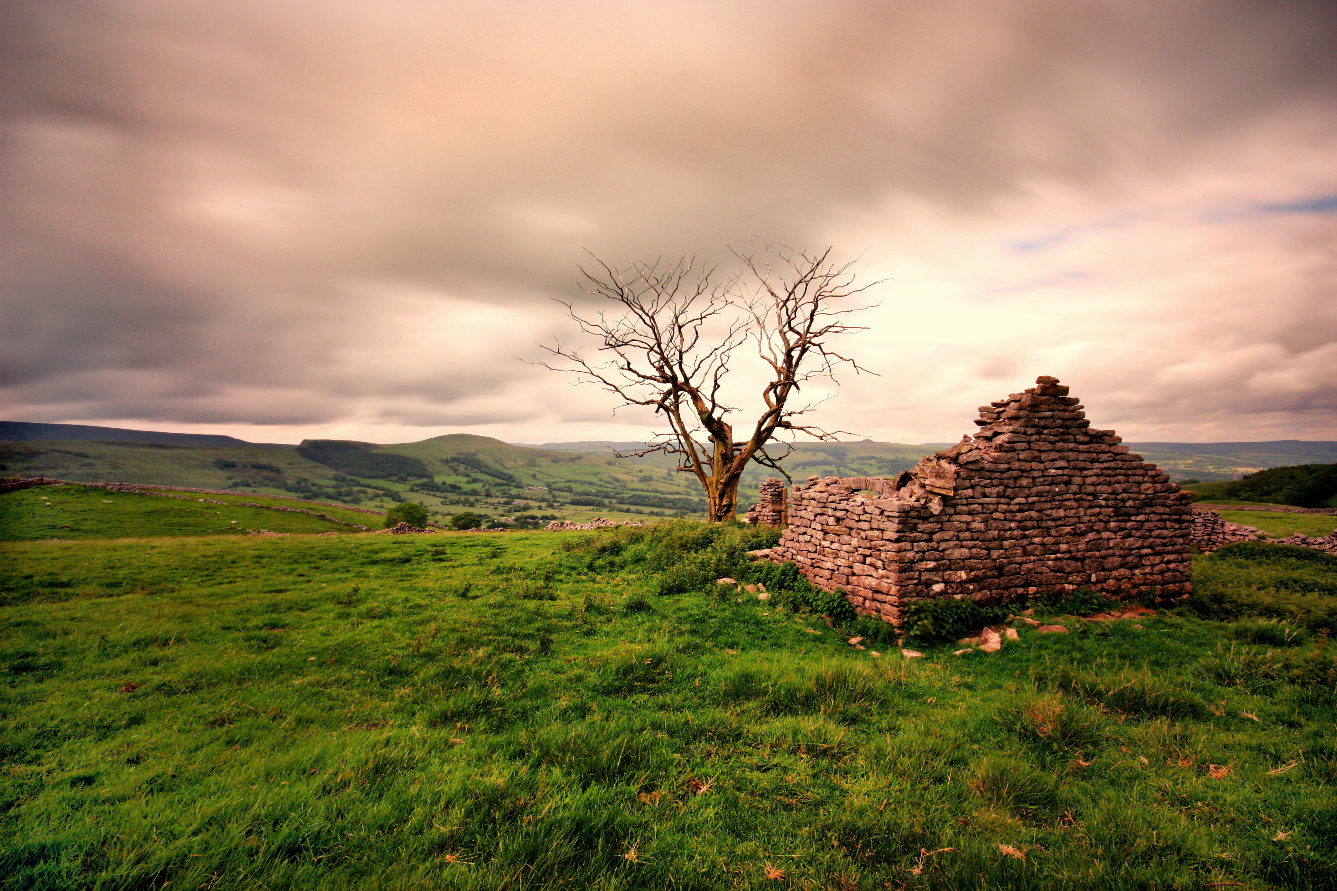
Ruined Barn near Castleton

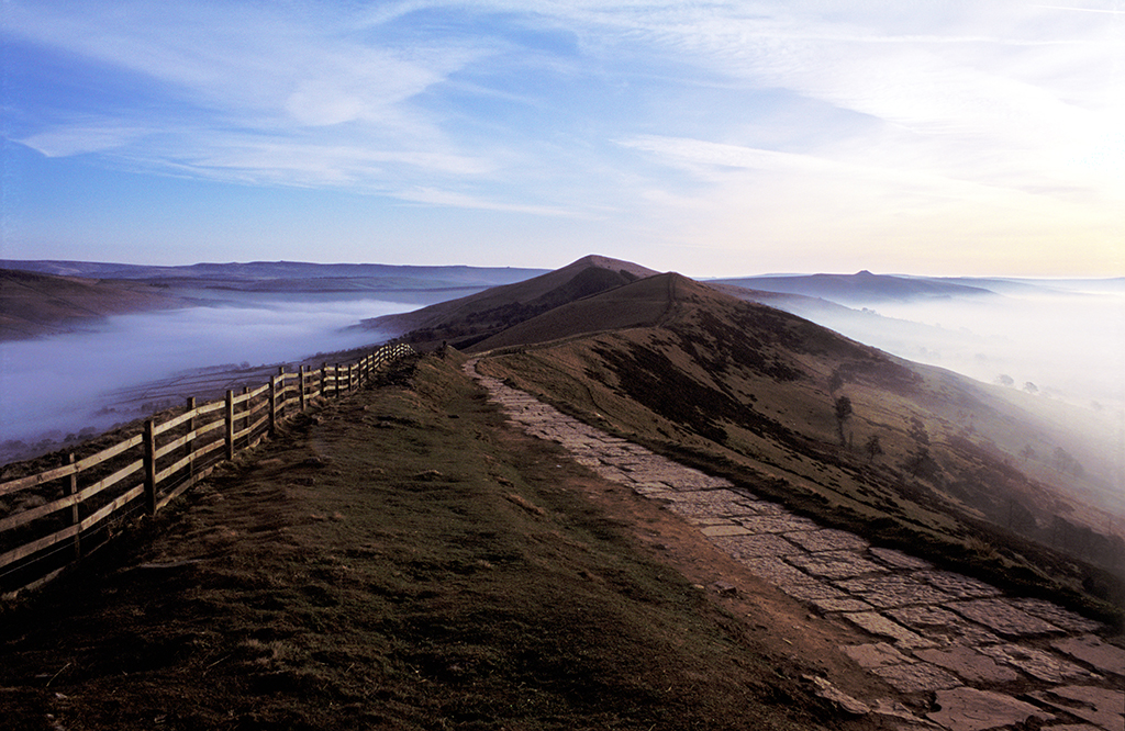
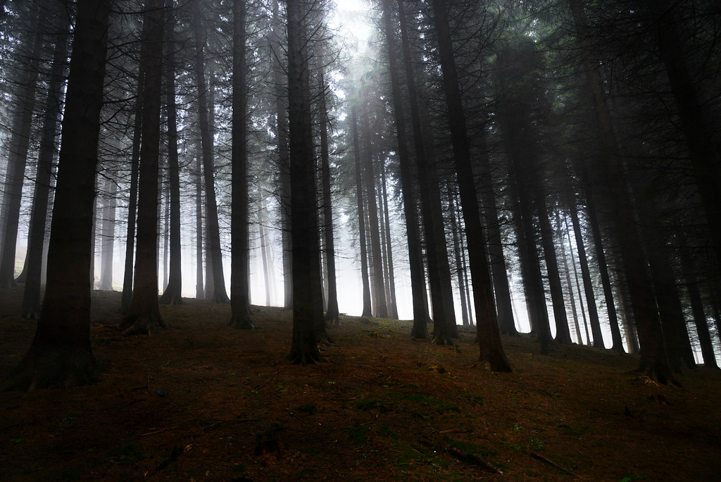
Foggy in the Valley
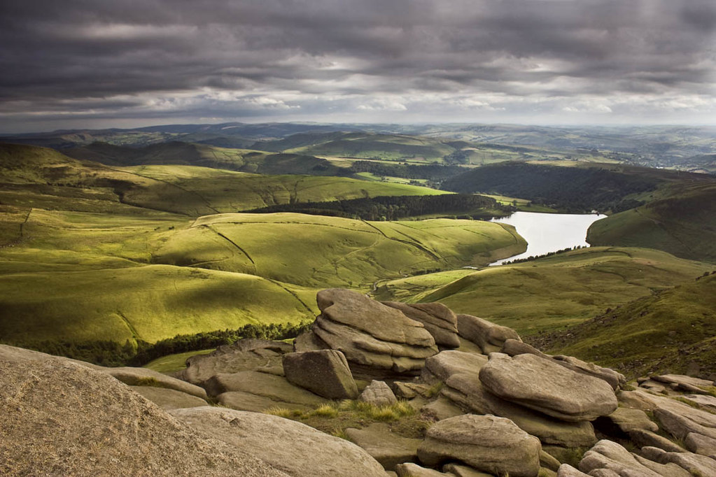
From Kinder.
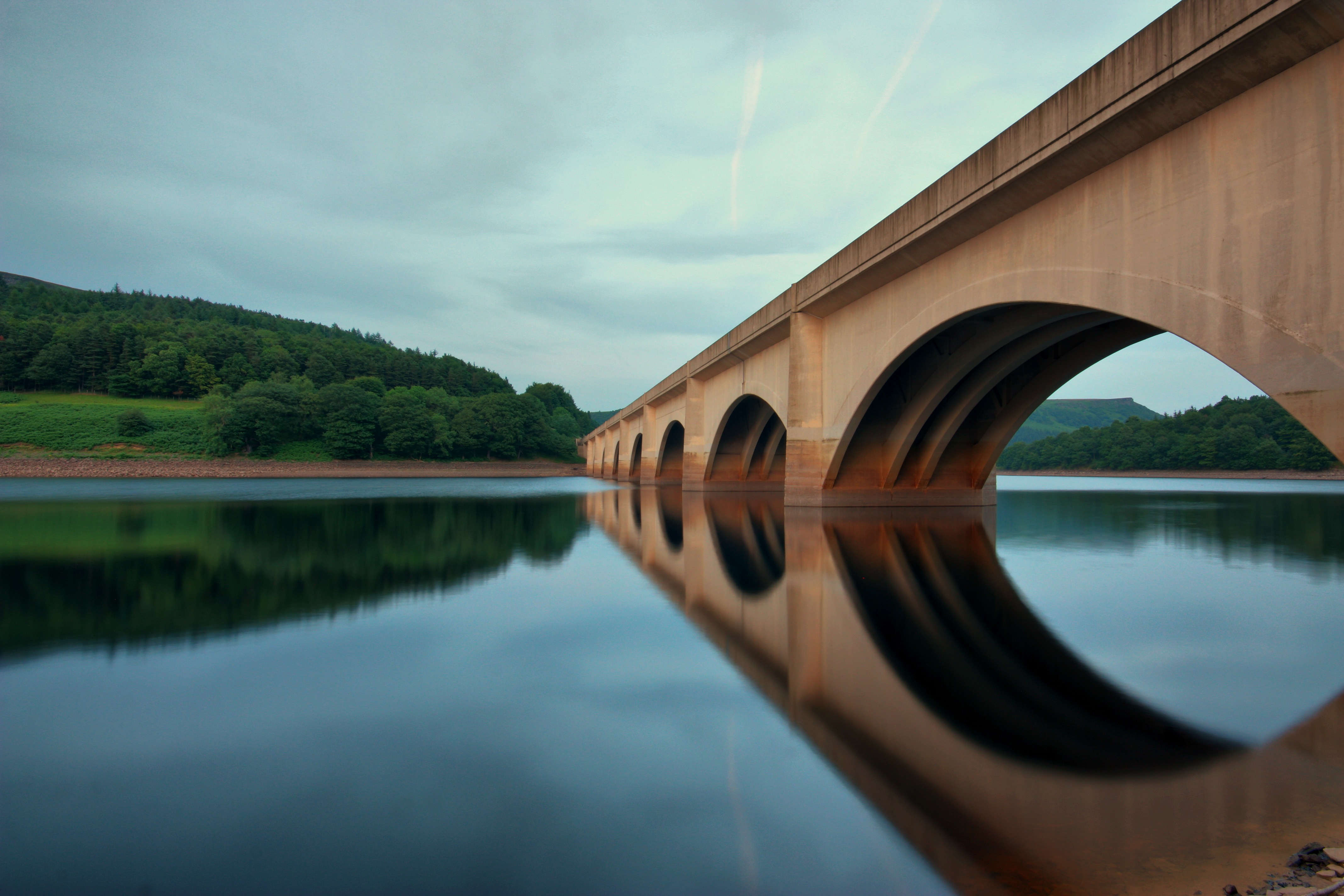
Ladybower Bridge

Edale view

Chrome Hill from Parkhouse hill
View to the edge

Cave Dale view
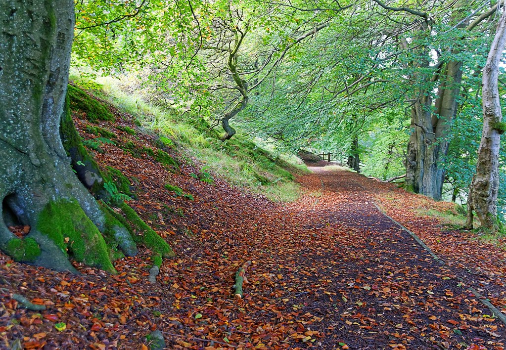
An Autumn Stroll In Derbyshire

Two Hills
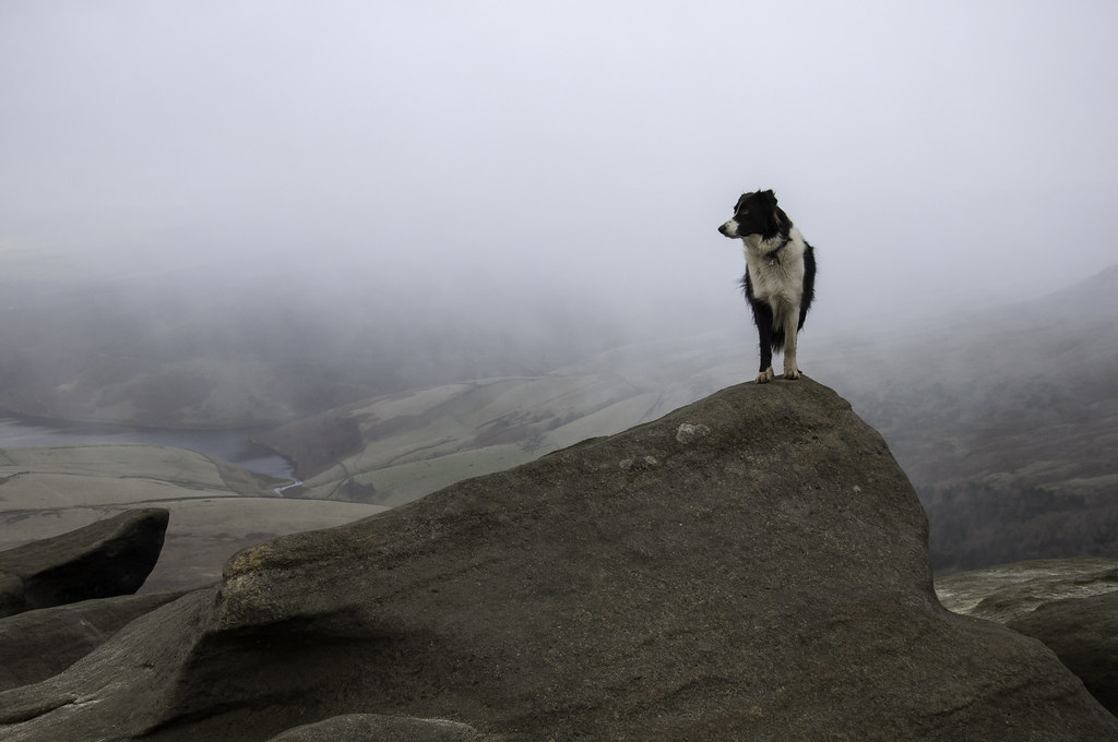
A rock with a view
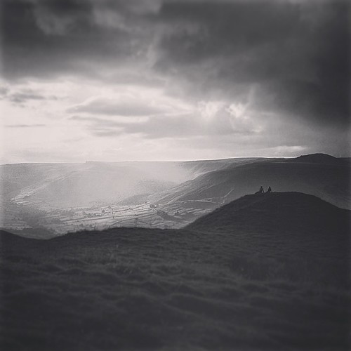
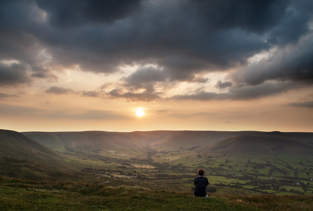
'She says you lack imagination, yet you dreamed her there' #edale #peakdistrict #blackandwhite #blackandwhite_uk #view #landscape #nature #derbyshire #2 #sunset #summer #sun #valley #hill #mountain #walking #hiking #mamtor #rushop #couple #sitting
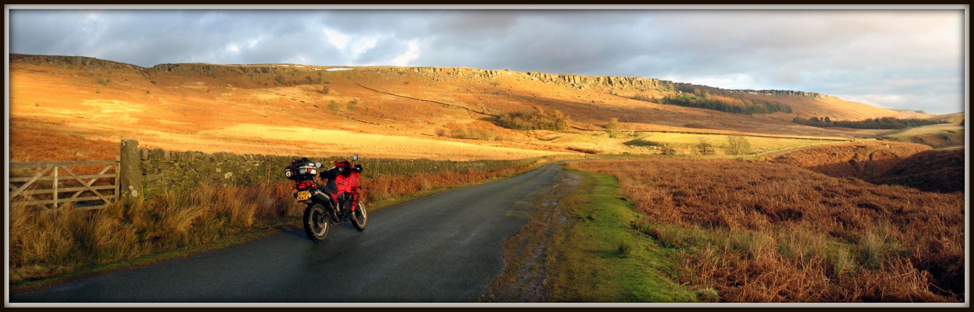
Went out to put some air in my back tyre..

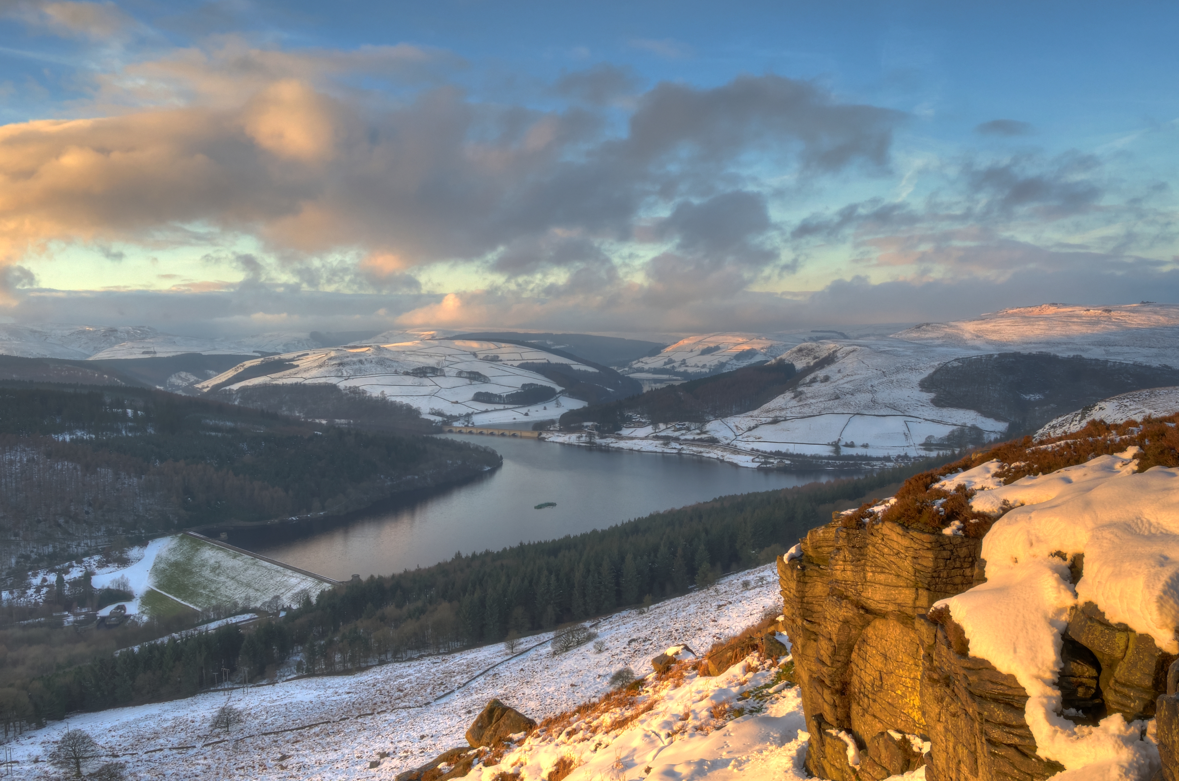
Howden Reservoir
Mam Tor view explore
Peak District
Beautiful Light
Wardlow Mires
The Great Ridge

Down the misty valley
The view the Vicar has....
Chrome hill (explore)
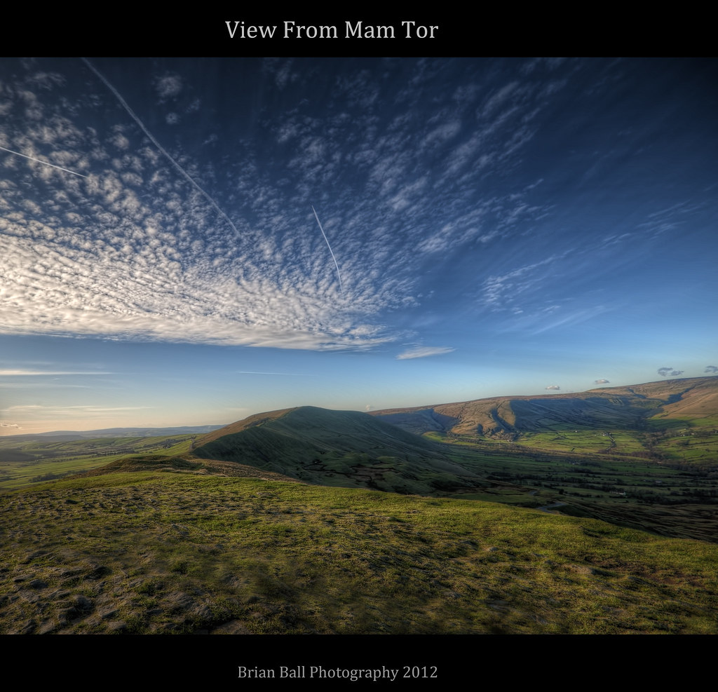
Mam Tor
bamford edge

Ladybower dawn (explore)

Through the Wire

Path into first light
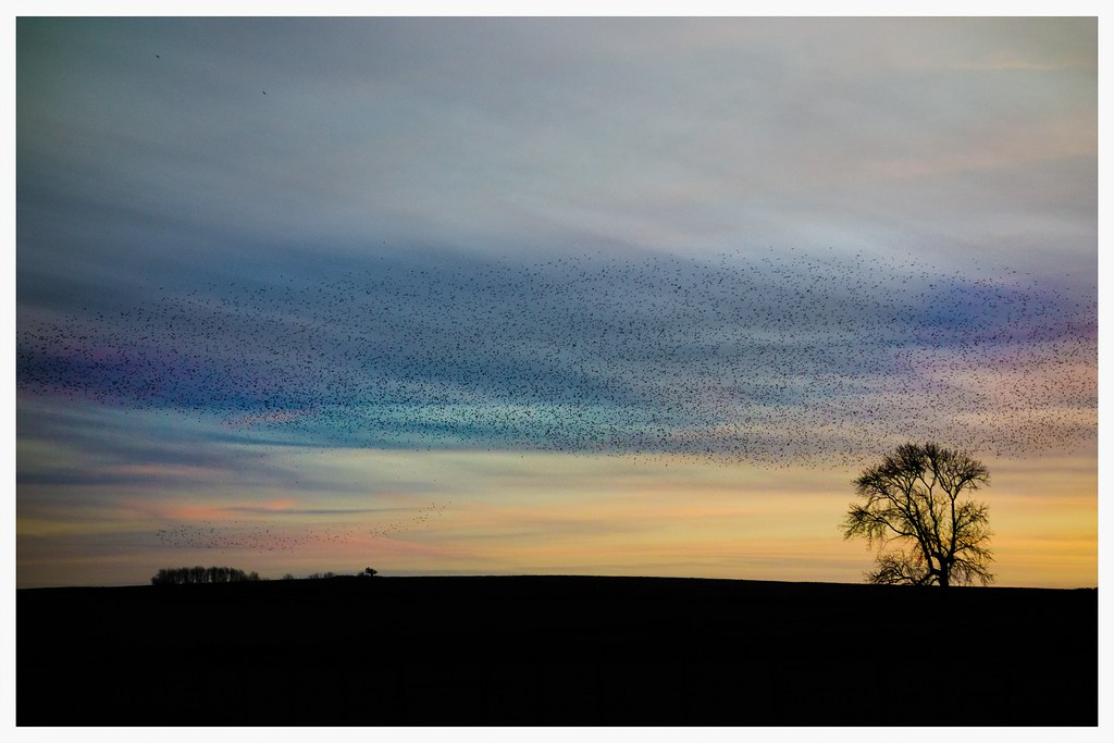
Mumuration!

Lady Bower Fishery
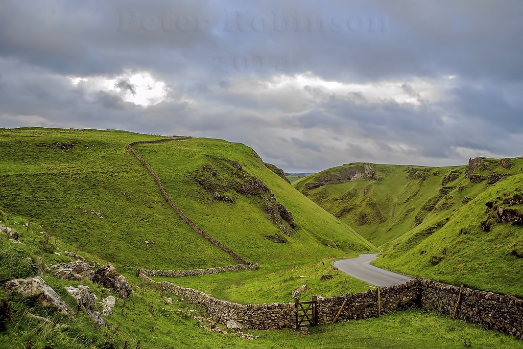
Winnats Pass, Castleton, Derbyshire
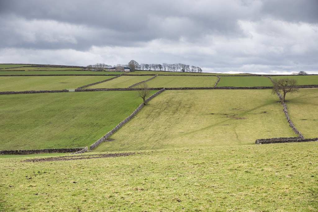
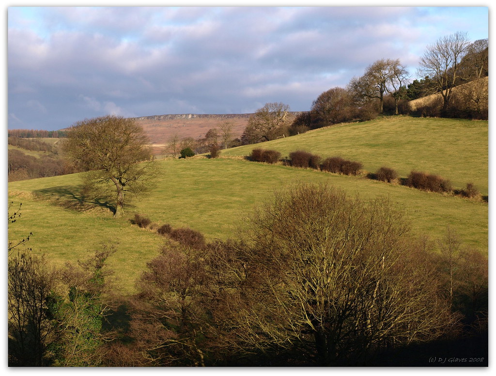
Field system
Dreamy Feelings

Fernilee Resevoir

Cave Dale 3
Tall, dark and lonesome
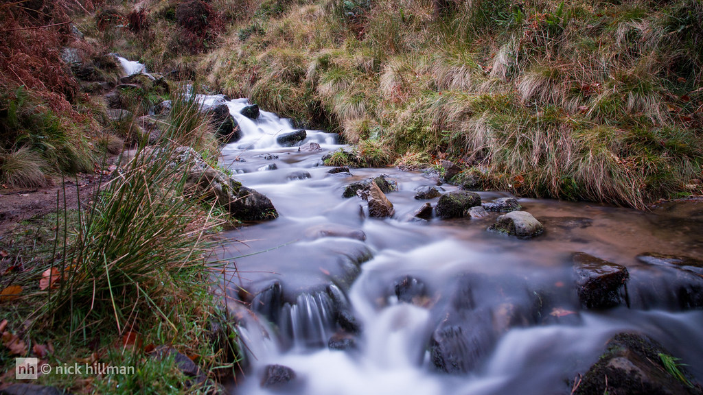
Autumn, Golden Gill, Edale
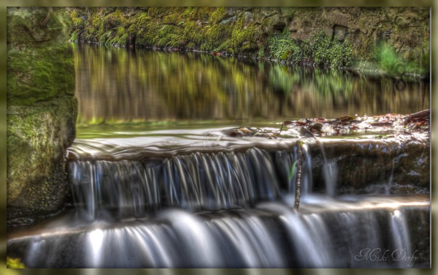
Monsal Dale weir ,the River Wye, Sept 2012.

Sunset over Cheshire

Buxton from Long Hill
Topographic Map of High Peak District, UK
Find elevation by address:

Places in High Peak District, UK:
Places near High Peak District, UK:
Sk23 0qu
Burnside Avenue
Chapel-en-le-frith
Sk17 8db
Dove Holes
8 Horse Fair Ave
12 Horse Fair Ave
Swine's Back
74vp+4c
Kinder Low, Trig Point
Sk23 9ux
Peak Dale
Princes Road
Chinley
Kinder Scout
Combs
Combs Reservoir
Sk23 6da
Sk23
Sk17 7du
Recent Searches:
- Elevation of Lampiasi St, Sarasota, FL, USA
- Elevation of Elwyn Dr, Roanoke Rapids, NC, USA
- Elevation of Congressional Dr, Stevensville, MD, USA
- Elevation of Bellview Rd, McLean, VA, USA
- Elevation of Stage Island Rd, Chatham, MA, USA
- Elevation of Shibuya Scramble Crossing, 21 Udagawacho, Shibuya City, Tokyo -, Japan
- Elevation of Jadagoniai, Kaunas District Municipality, Lithuania
- Elevation of Pagonija rock, Kranto 7-oji g. 8"N, Kaunas, Lithuania
- Elevation of Co Rd 87, Jamestown, CO, USA
- Elevation of Tenjo, Cundinamarca, Colombia