Elevation of High Mesa, Colorado, USA
Location: United States > Colorado > Ridgway >
Longitude: -107.49533
Latitude: 38.2122145
Elevation: 3443m / 11296feet
Barometric Pressure: 66KPa
Elevation Map:
Satellite Map:
Related Photos:
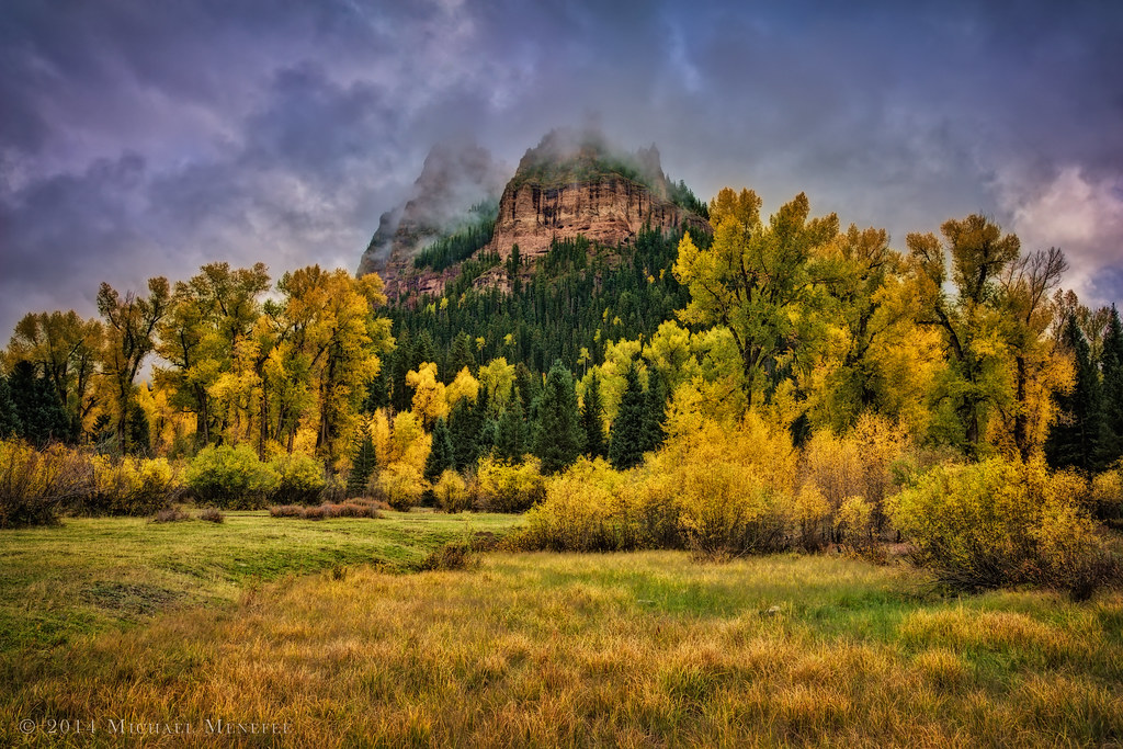
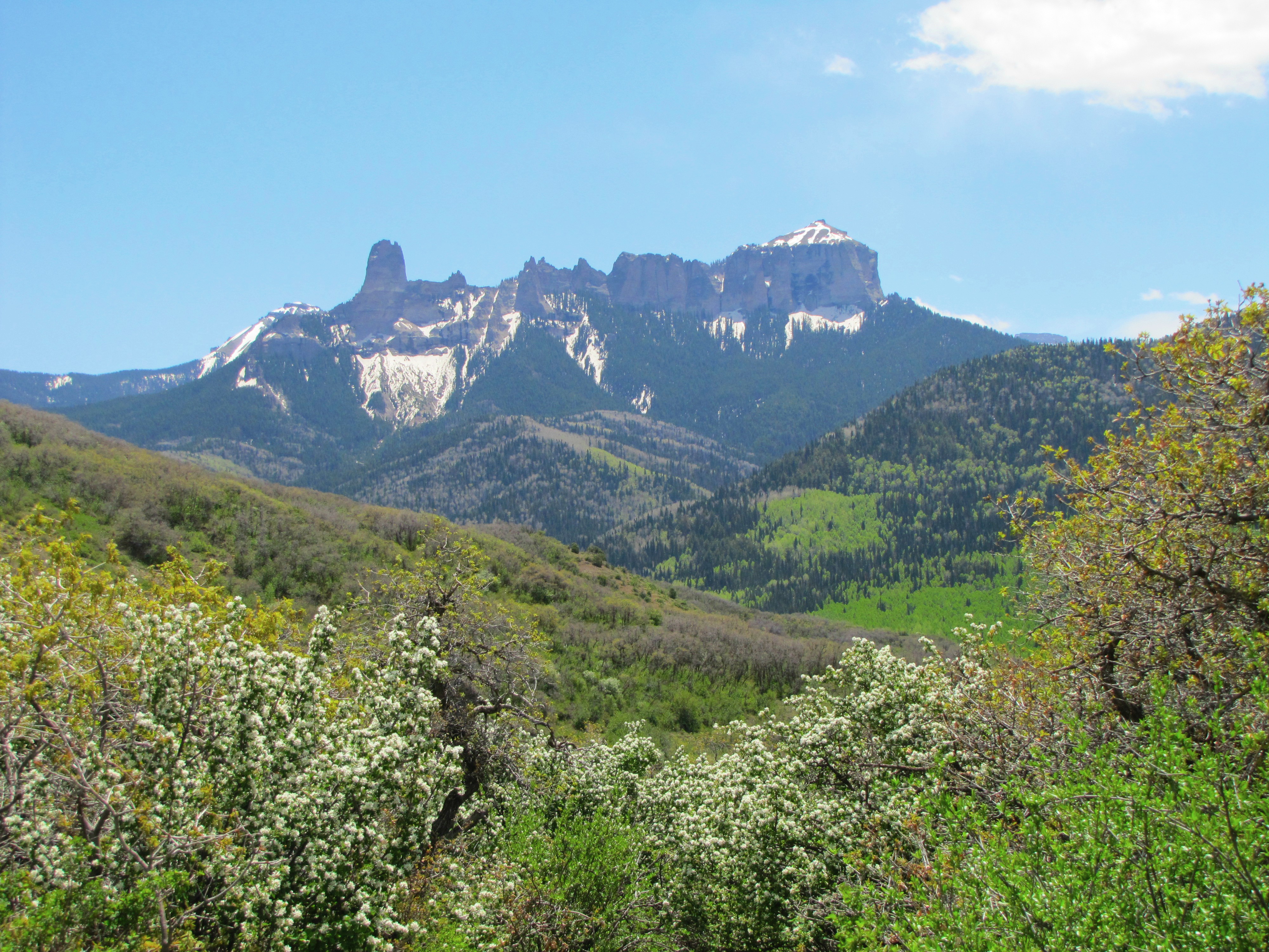
Fall Mysticism in the San Juans
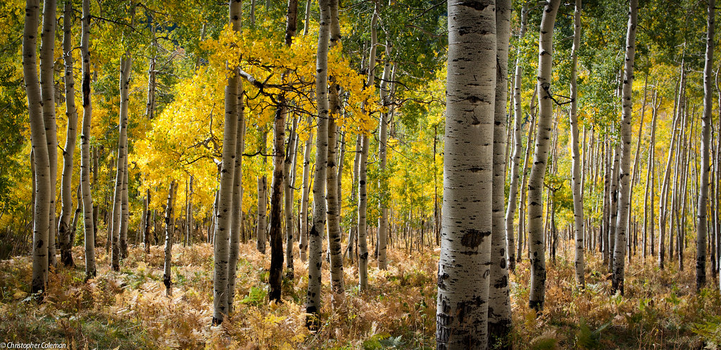
Aspens along Owl Creek Pass

Last nights view from the spire near Owl Creek Pass! It was all off trail to get up there, with mud, snow & downed trees everywhere. I've never tripped or fallen as many times as I did last night. Sore but totally worth it!
East Fork view of Precipice and Dunsinane
Silverjack summer
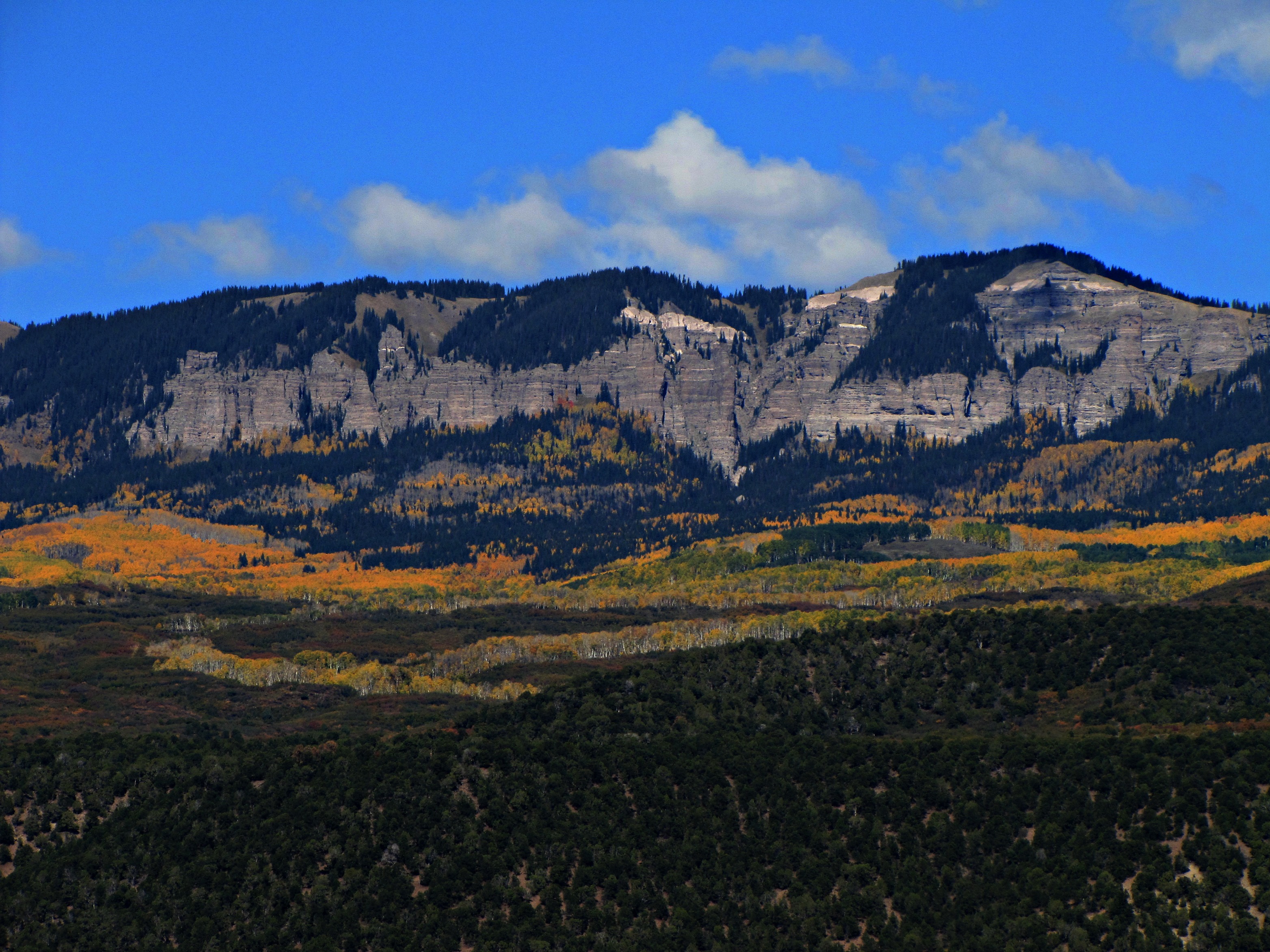
View from Vista Point
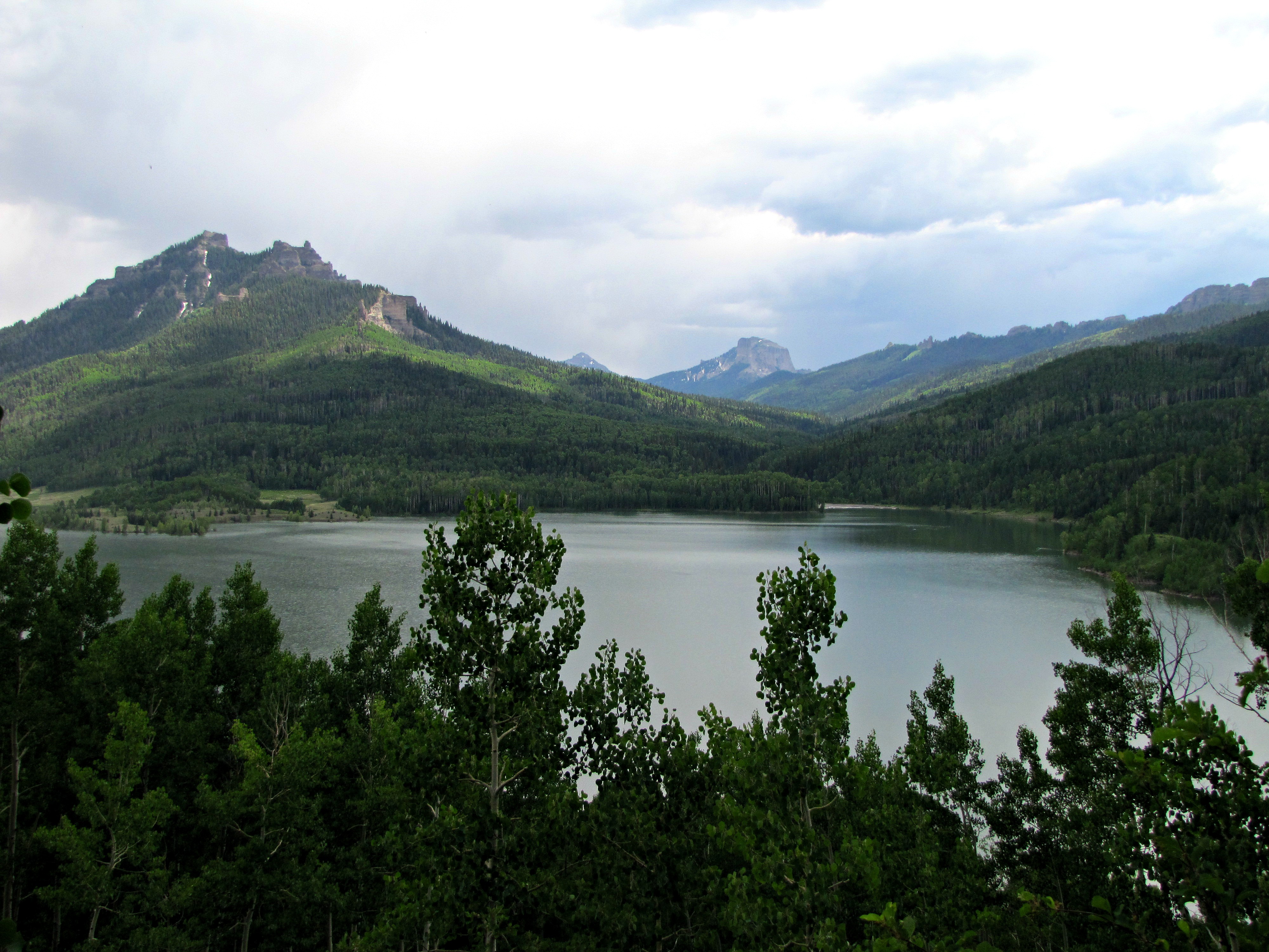
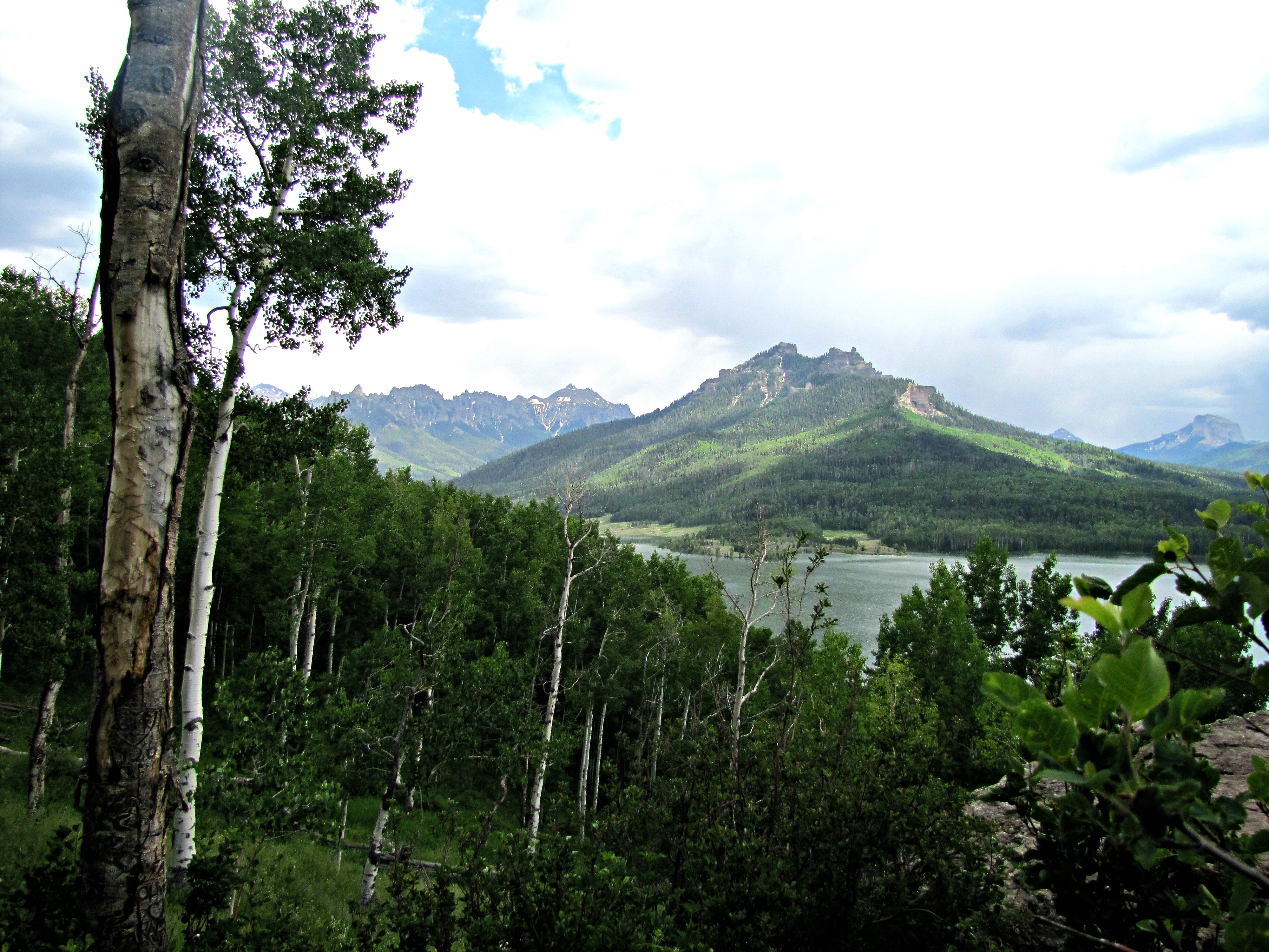
Silverjack and the Cimarrons
View towards Owl Creek Pass
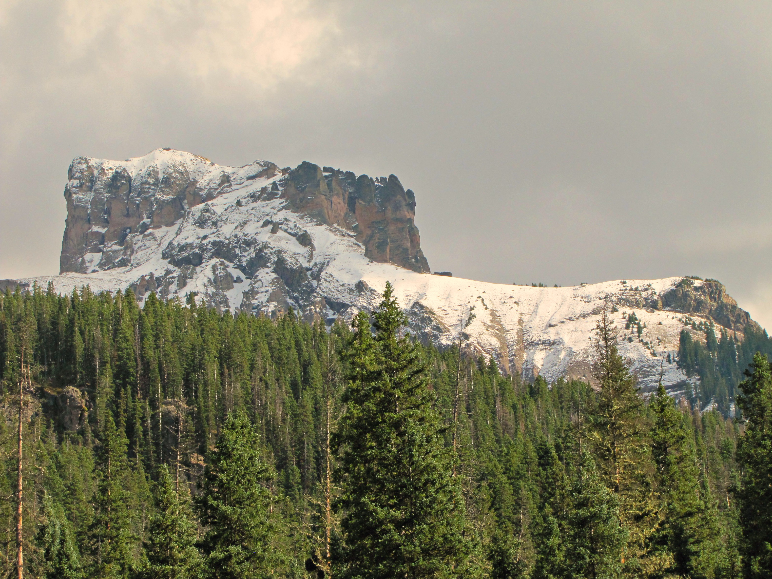
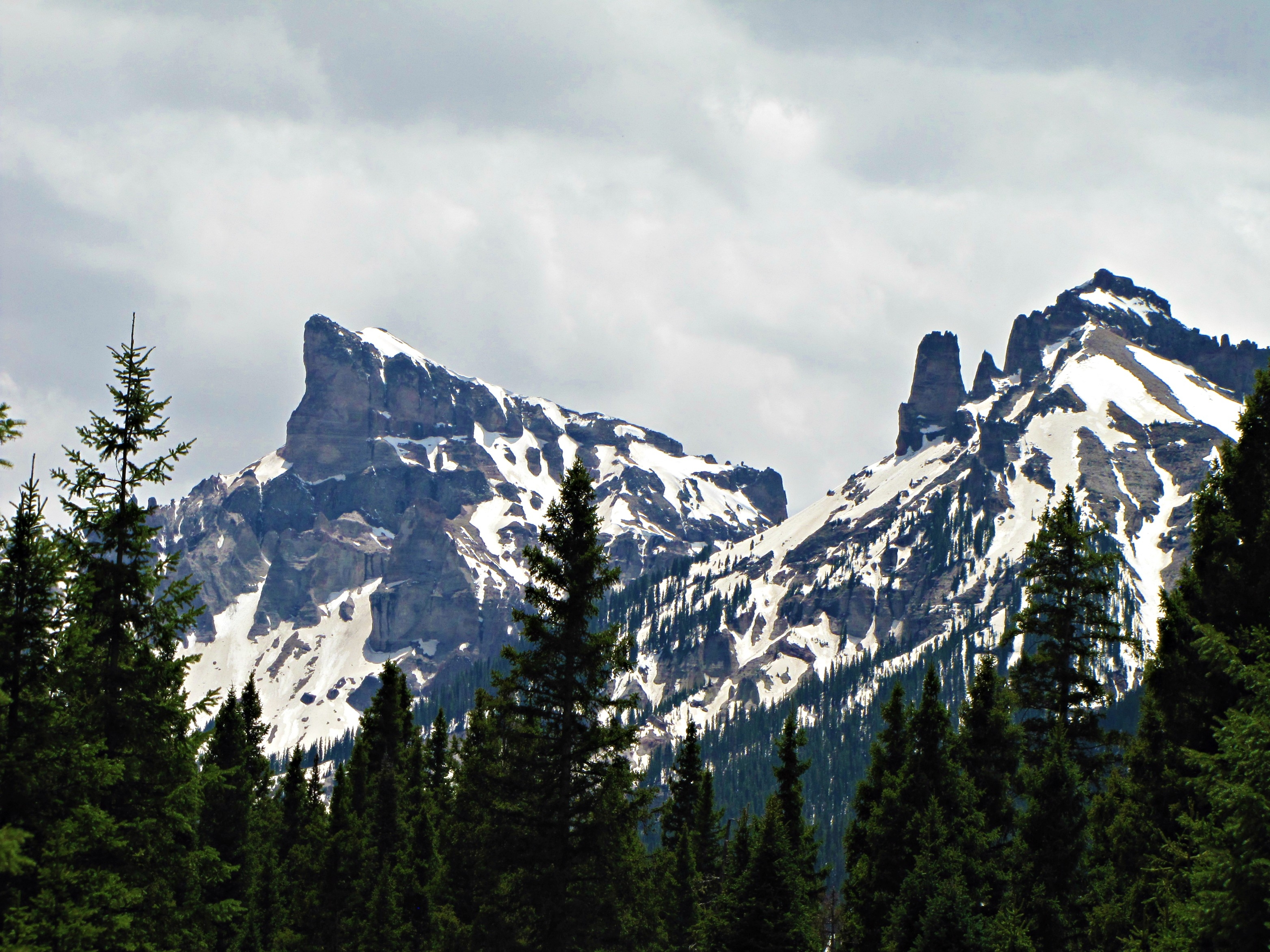
Precipice Peak, view from the west
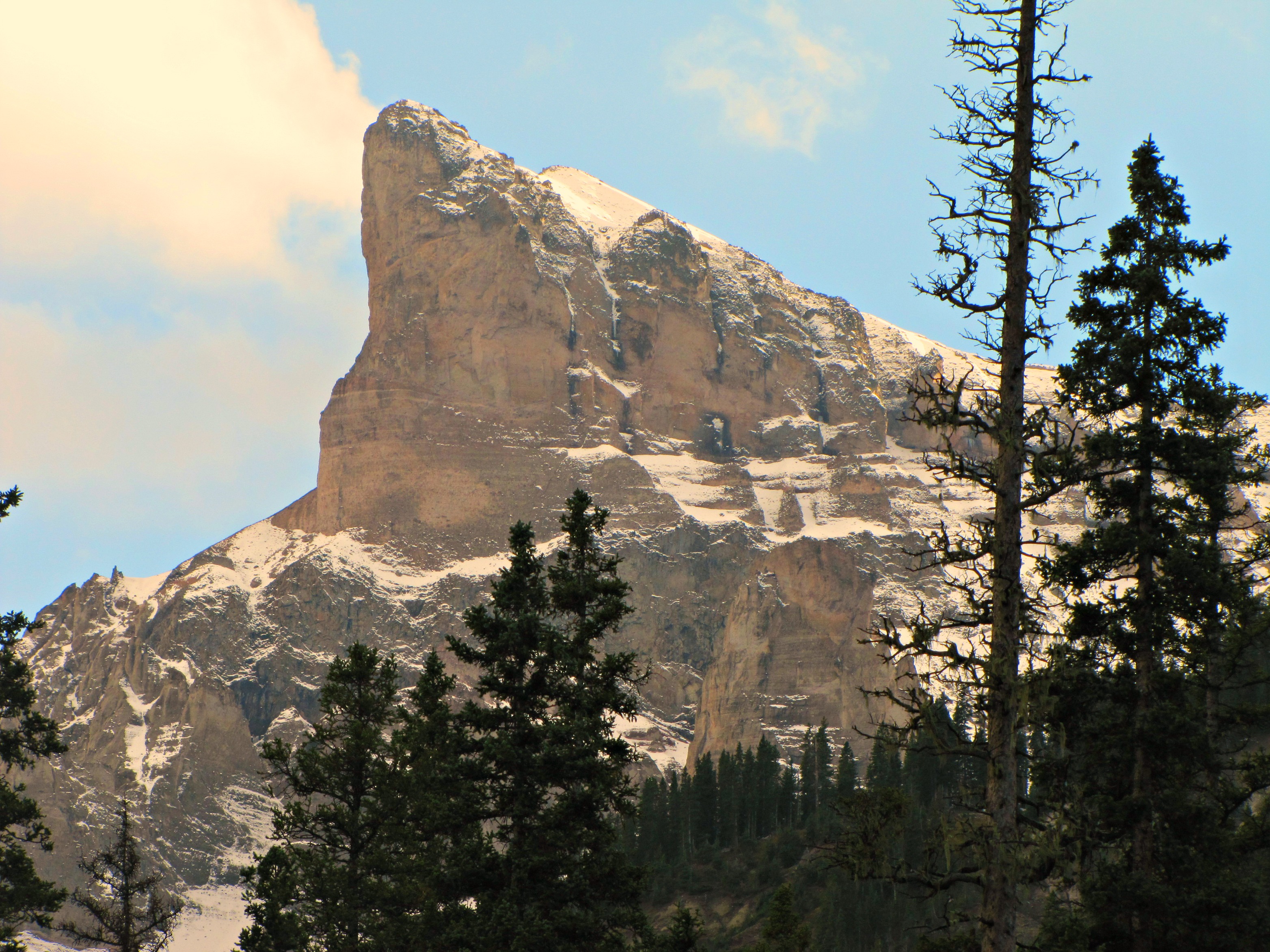
Precipice Peak, view from the northeast
Topographic Map of High Mesa, Colorado, USA
Find elevation by address:

Places near High Mesa, Colorado, USA:
County Road 858
Cimarron Ridge South
Fish Creek Reservoir Number 1
Fish Creek Reservoir Number 2
Precipice Peak
Cimarron Ridge Hp
Courthouse Mountain
Silver Mountain
Coxcomb Peak
Uncompahgre Peak
San Juan Mountains
Wetterhorn Peak
20290 Little Cimarron Rd
Little Cimarron Road
451 Hazel Lake Dr
1060 Co Rd 21
CO-, Powderhorn, CO, USA
77165 Buckhorn Rd
Wildhorse Peak
Sunshine Mountain
Recent Searches:
- Elevation of Corso Fratelli Cairoli, 35, Macerata MC, Italy
- Elevation of Tallevast Rd, Sarasota, FL, USA
- Elevation of 4th St E, Sonoma, CA, USA
- Elevation of Black Hollow Rd, Pennsdale, PA, USA
- Elevation of Oakland Ave, Williamsport, PA, USA
- Elevation of Pedrógão Grande, Portugal
- Elevation of Klee Dr, Martinsburg, WV, USA
- Elevation of Via Roma, Pieranica CR, Italy
- Elevation of Tavkvetili Mountain, Georgia
- Elevation of Hartfords Bluff Cir, Mt Pleasant, SC, USA