Elevation of High Lonesome Ranch, Minter Ave, De Beque, CO, USA
Location: United States > Colorado > De Beque >
Longitude: -108.21394
Latitude: 39.3335021
Elevation: -10000m / -32808feet
Barometric Pressure: 295KPa
Elevation Map:
Satellite Map:
Related Photos:

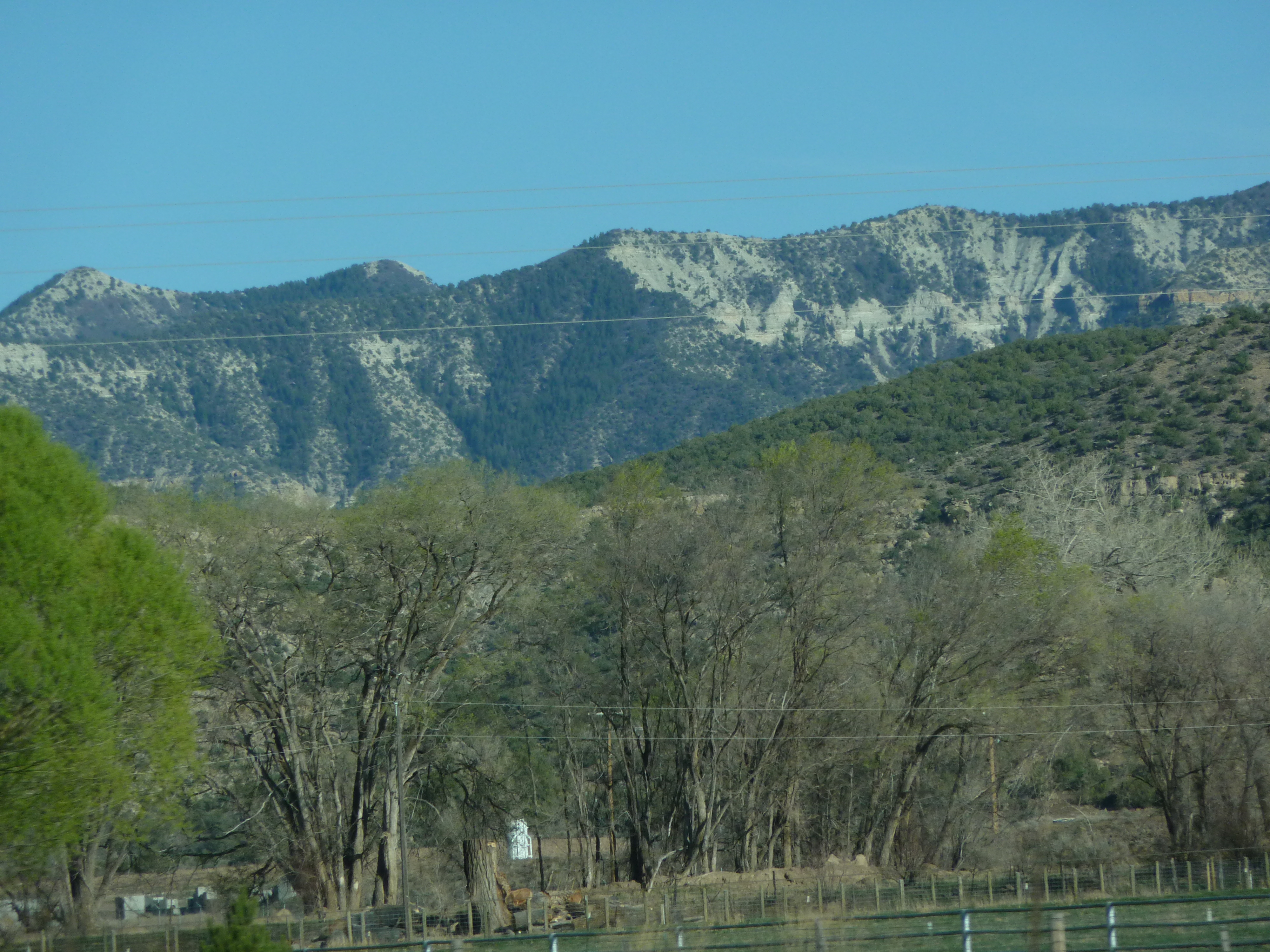
Views from the road.... Parachute, Colorado

view from SKH b

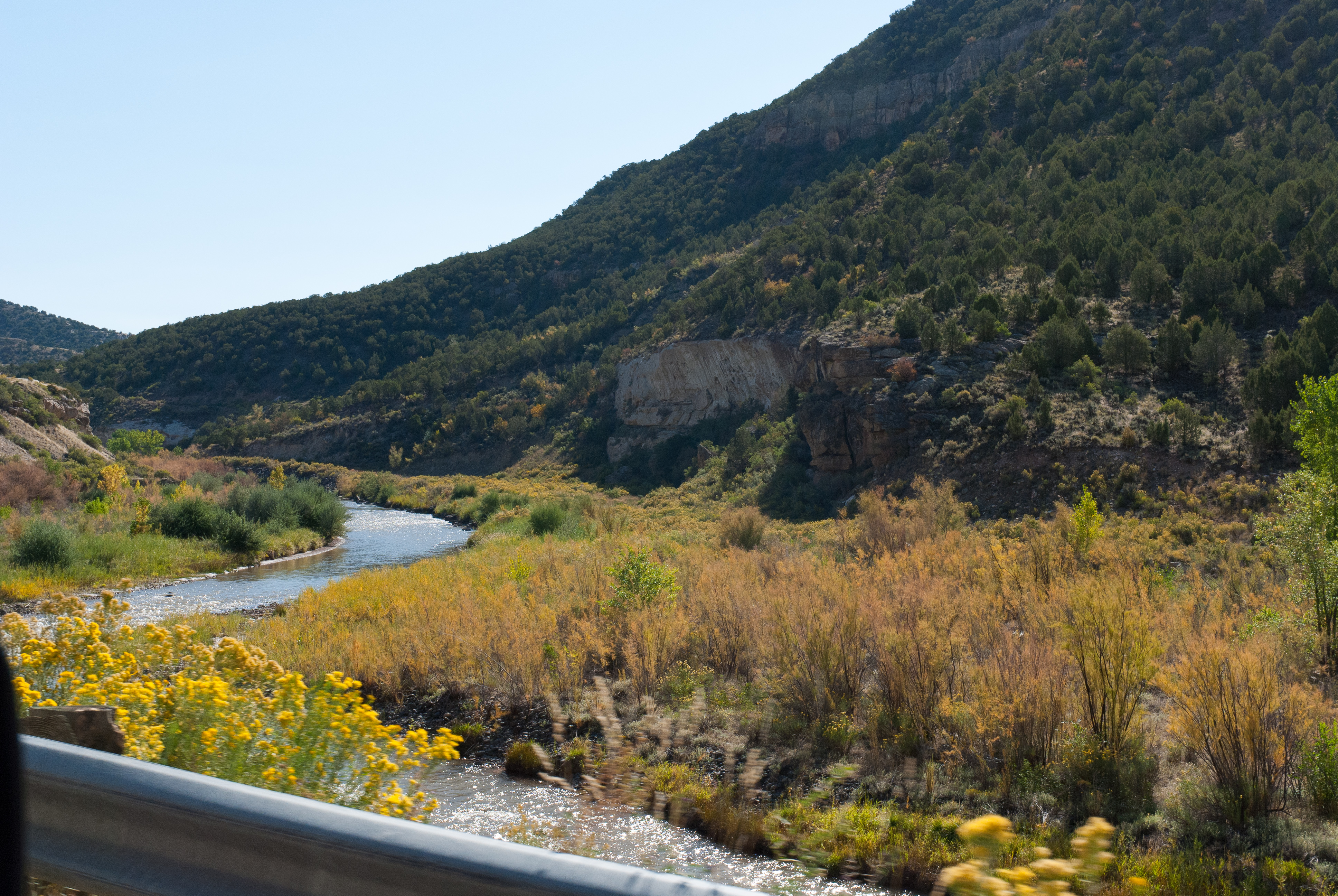
Views from the road.... Parachute, Colorado

view from SKH
70 views

View from SK Holdings 6/2010a

70 views

View from SK Holdings 6/2010b

70 views

180817-Z-A3586-1002

70 views

70 views

Roan Clouds

De Beque, CO

Clouds lifting

Mesa Creek Valley - Grand Mesa Scenic Byway 65 (DTA_5933)

IMG_3995.jpg

Parachute Fall Tint

Muppet Rock

goodnight westward sun

Train Ride West

Grand Mesa Scenic and Historic Byway

Channel Sands
Grand Mesa Scenic and Historic Byway

Train Ride West
Topographic Map of High Lonesome Ranch, Minter Ave, De Beque, CO, USA
Find elevation by address:

Places near High Lonesome Ranch, Minter Ave, De Beque, CO, USA:
De Beque
2174 45 1/2 Rd
46305 Co-65
Horse Mountain
Mesa
9755 48 Rd
50249 Ke Rd
51343 Ke Rd
9154 Co-65
Molina
53478 Co-330
Molina, CO, USA
10690 54 7/10 Rd
13737 57 Rd
9121 54 Rd
57840 P E Rd
20271 58 6/10 Rd
J E 3/10 Road
Camp 7 - Camp & Conference Center
16563 58 6/10 Rd
Recent Searches:
- Elevation of W Granada St, Tampa, FL, USA
- Elevation of Pykes Down, Ivybridge PL21 0BY, UK
- Elevation of Jalan Senandin, Lutong, Miri, Sarawak, Malaysia
- Elevation of Bilohirs'k
- Elevation of 30 Oak Lawn Dr, Barkhamsted, CT, USA
- Elevation of Luther Road, Luther Rd, Auburn, CA, USA
- Elevation of Unnamed Road, Respublika Severnaya Osetiya — Alaniya, Russia
- Elevation of Verkhny Fiagdon, North Ossetia–Alania Republic, Russia
- Elevation of F. Viola Hiway, San Rafael, Bulacan, Philippines
- Elevation of Herbage Dr, Gulfport, MS, USA