Elevation of Higashiusuki District, Miyazaki Prefecture, Japan
Location: Japan > Miyazaki Prefecture >
Longitude: 131.323
Latitude: 32.462
Elevation: 587m / 1926feet
Barometric Pressure: 94KPa
Elevation Map:
Satellite Map:
Related Photos:

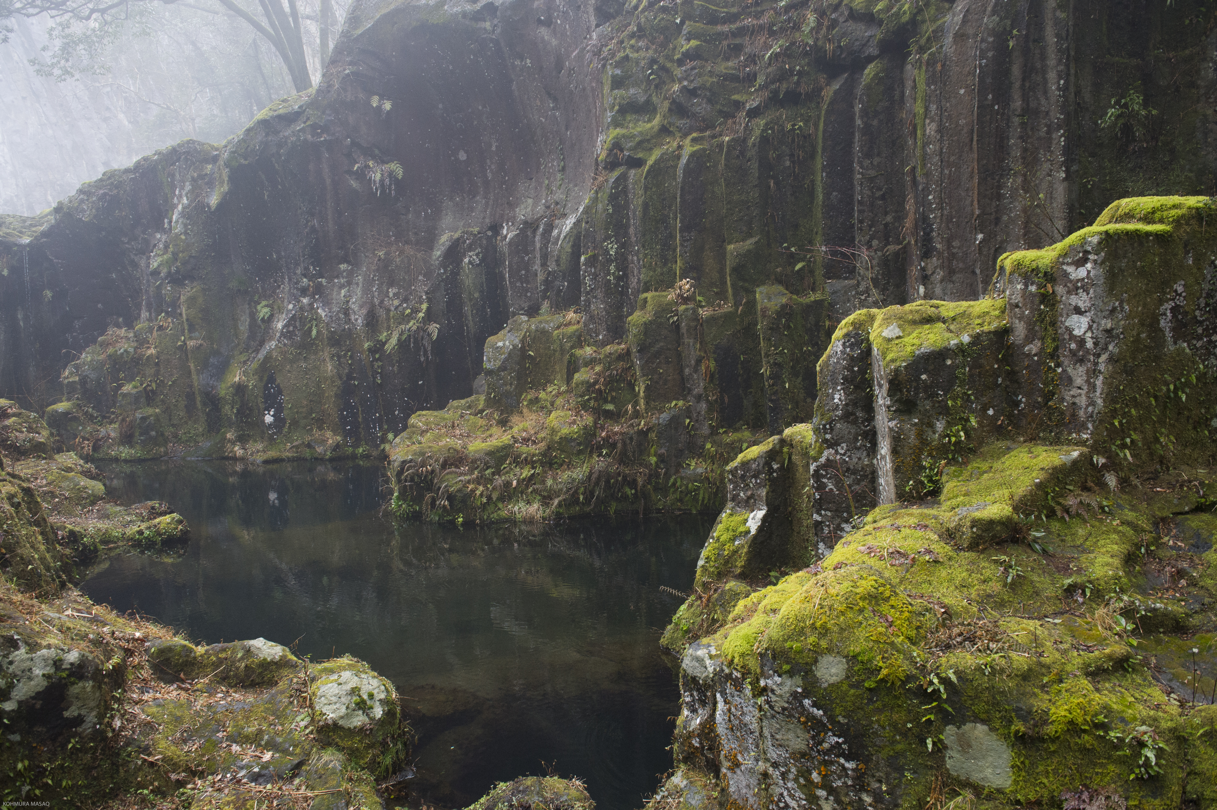
20120222-_DSC9647 takachiho 高千穂峡
20120222-_DSC9652
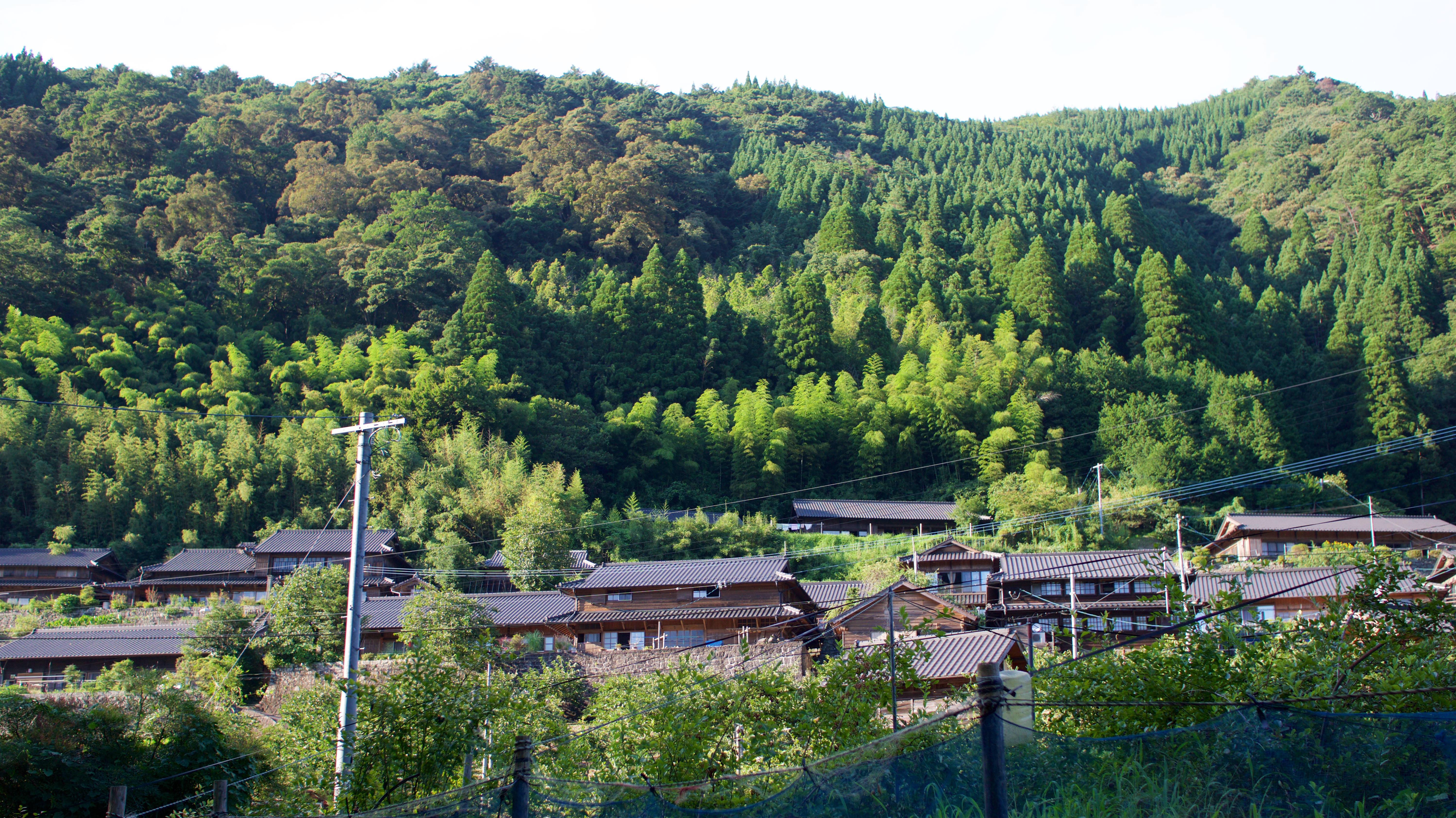
十根川重要伝統的建造物群保存地区
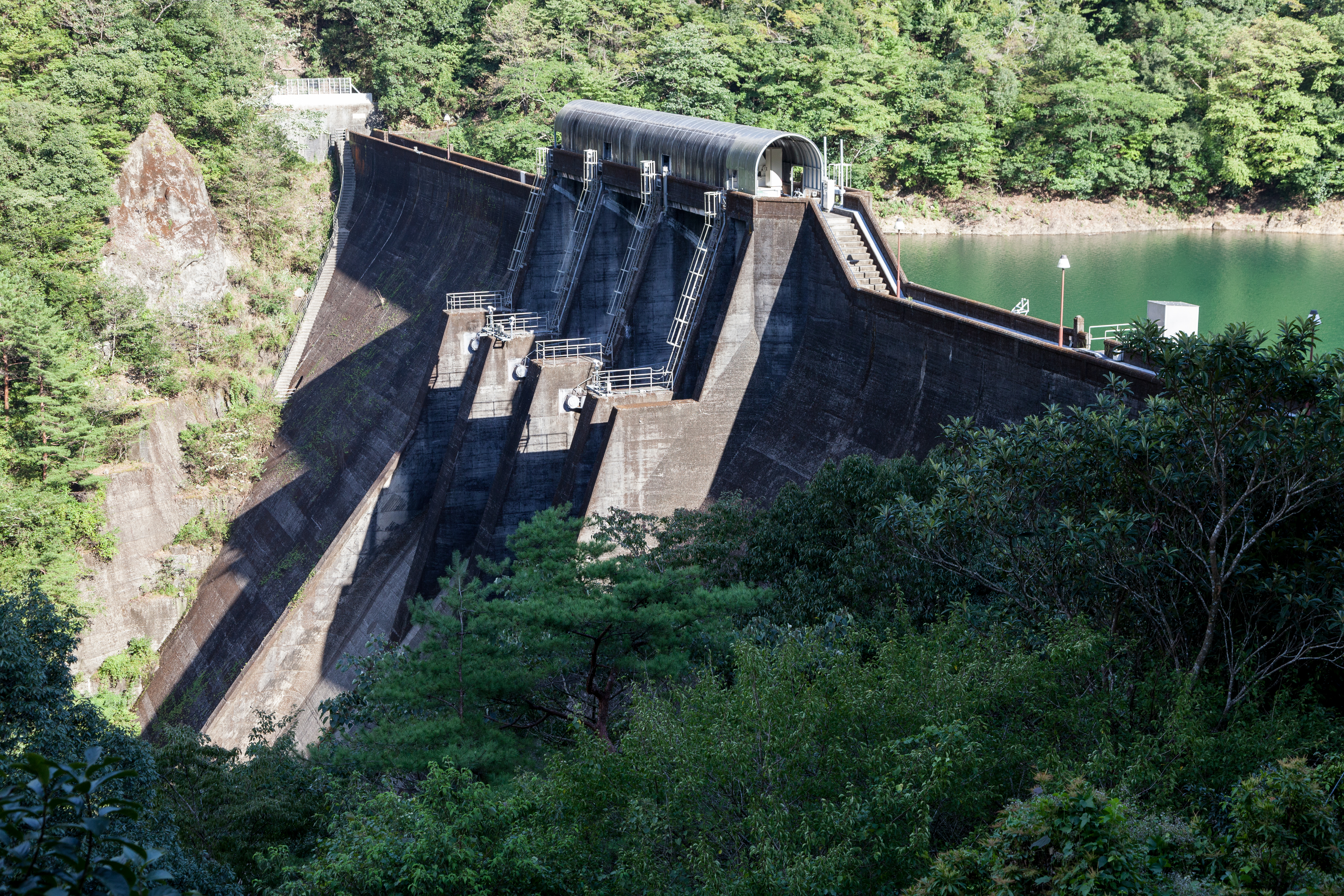
dokawa dam. (渡川ダム)
すべての写真-1874

海鮮麵

十根川重要伝統的建造物群保存地区
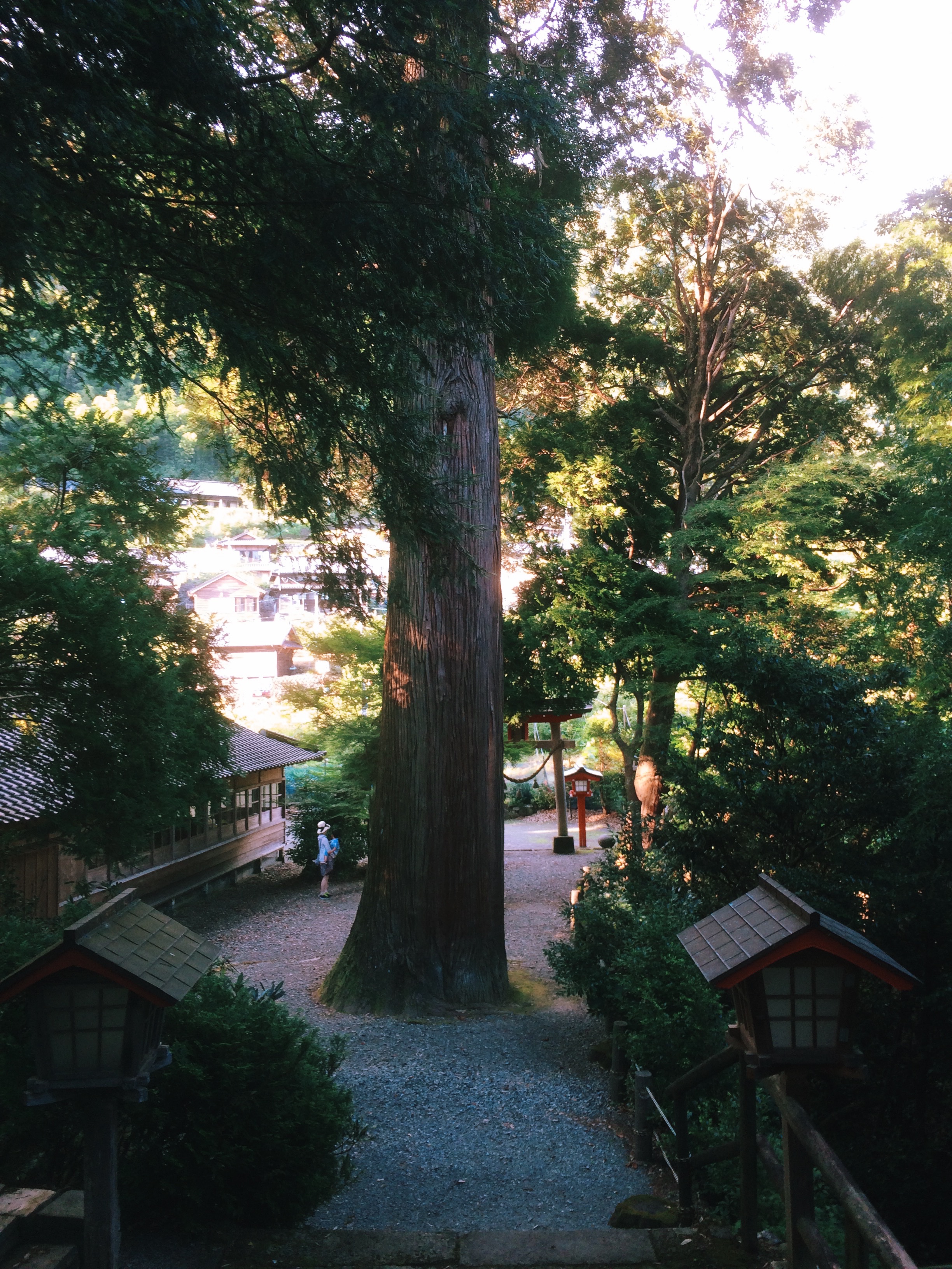
十根川神社 Tonegawa Shrine
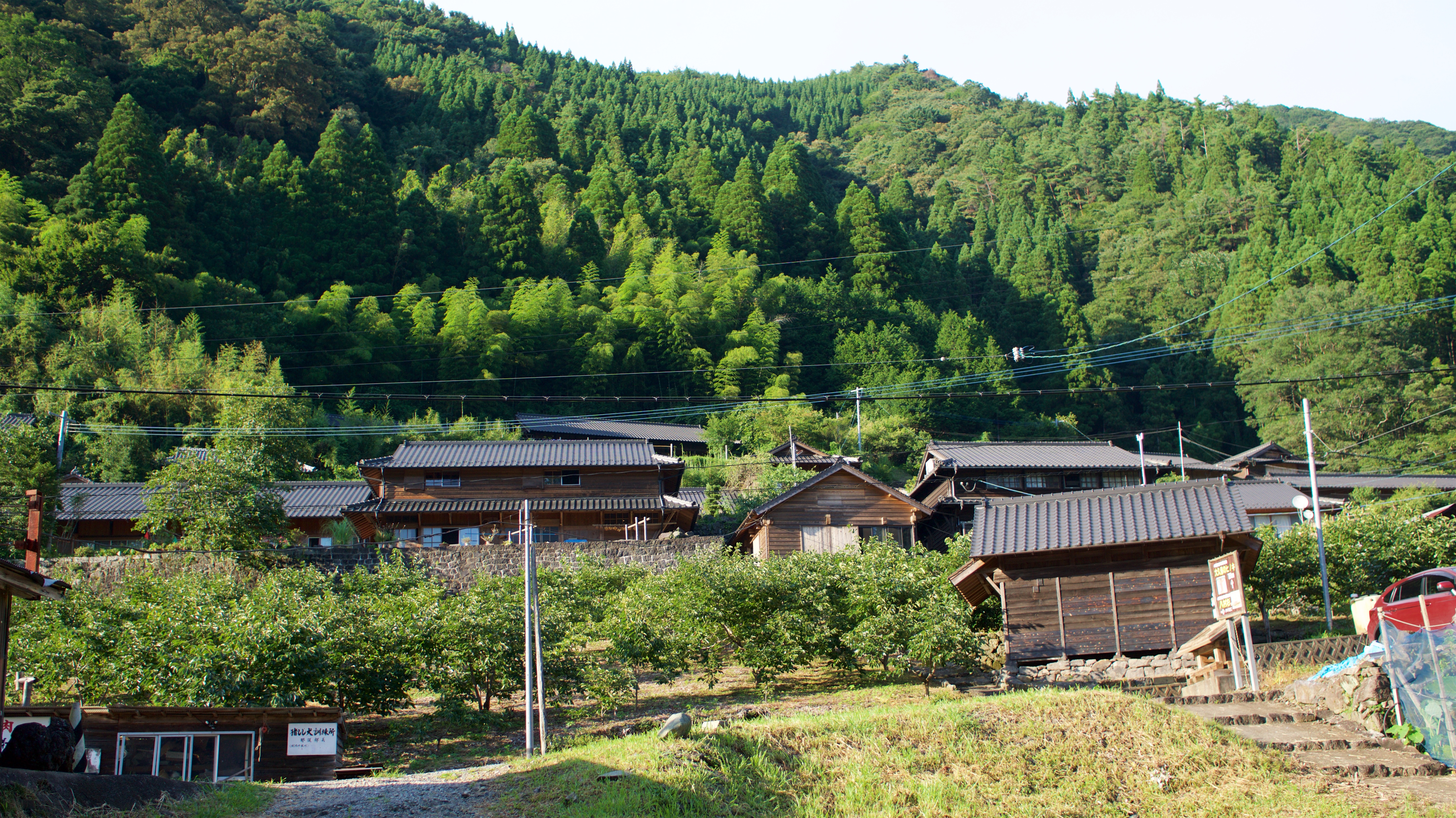
十根川重要伝統的建造物群保存地区
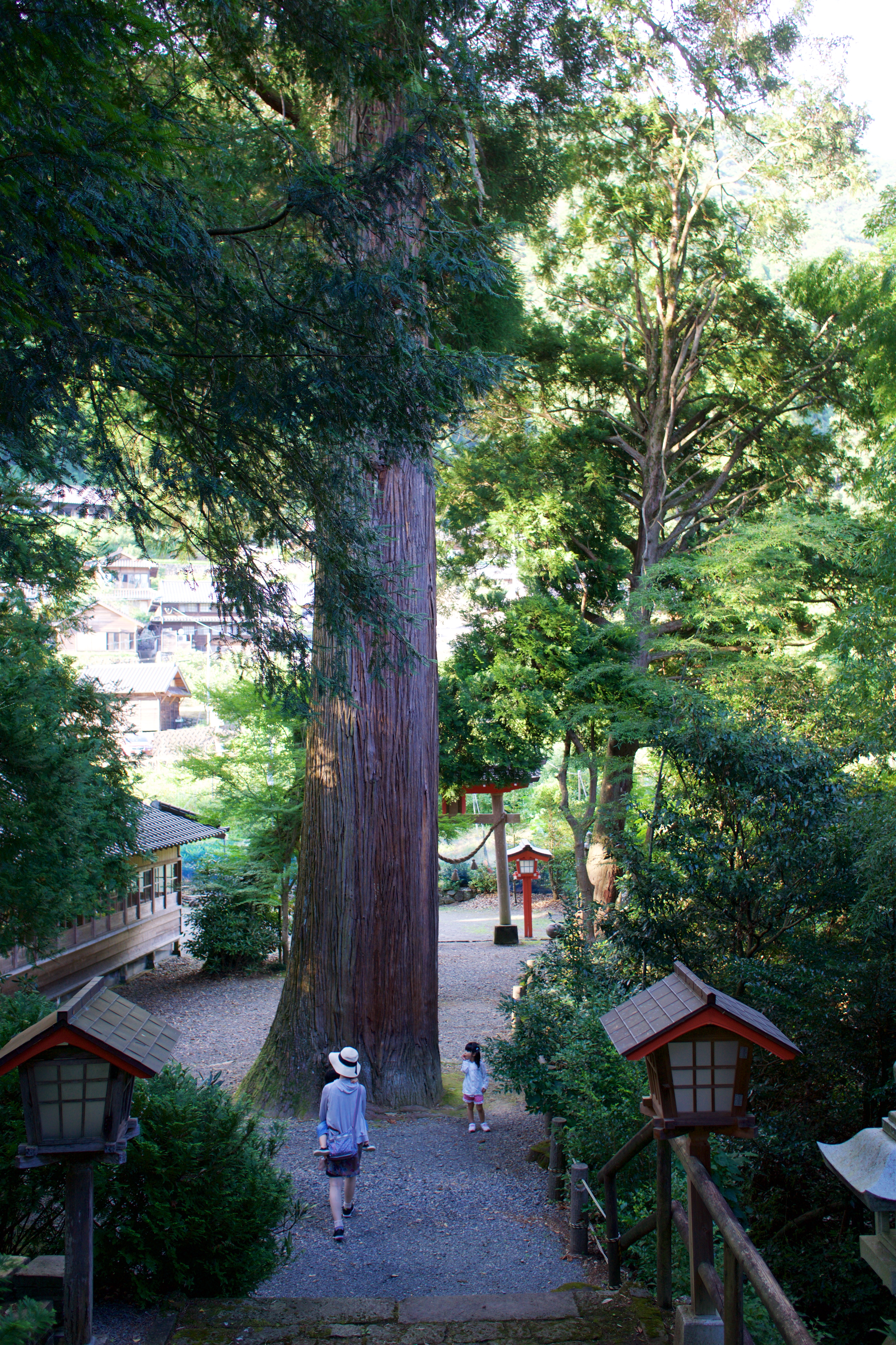
十根川神社 Tonegawa Shrine
十根川神社 Tonegawa Shrine
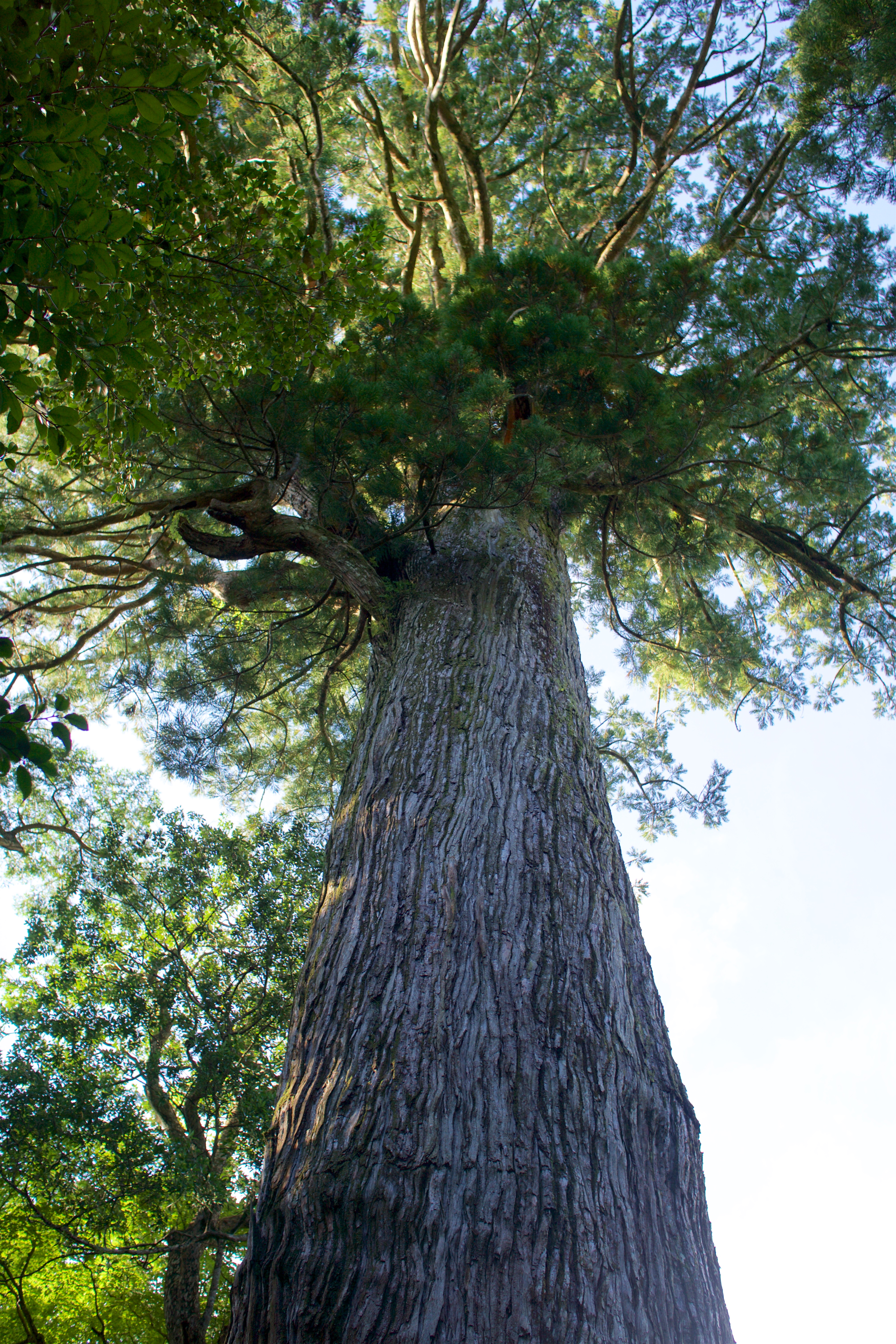
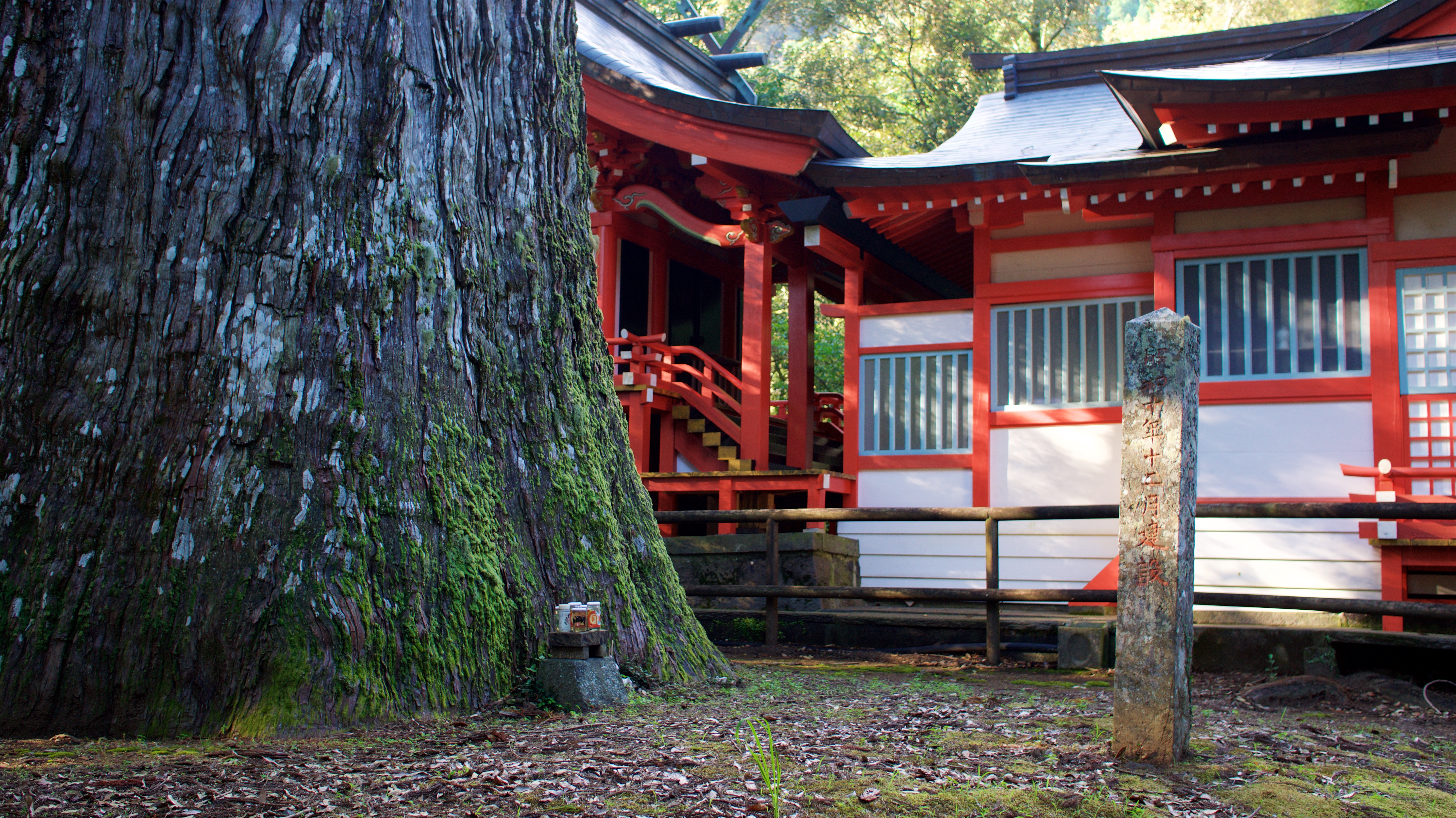
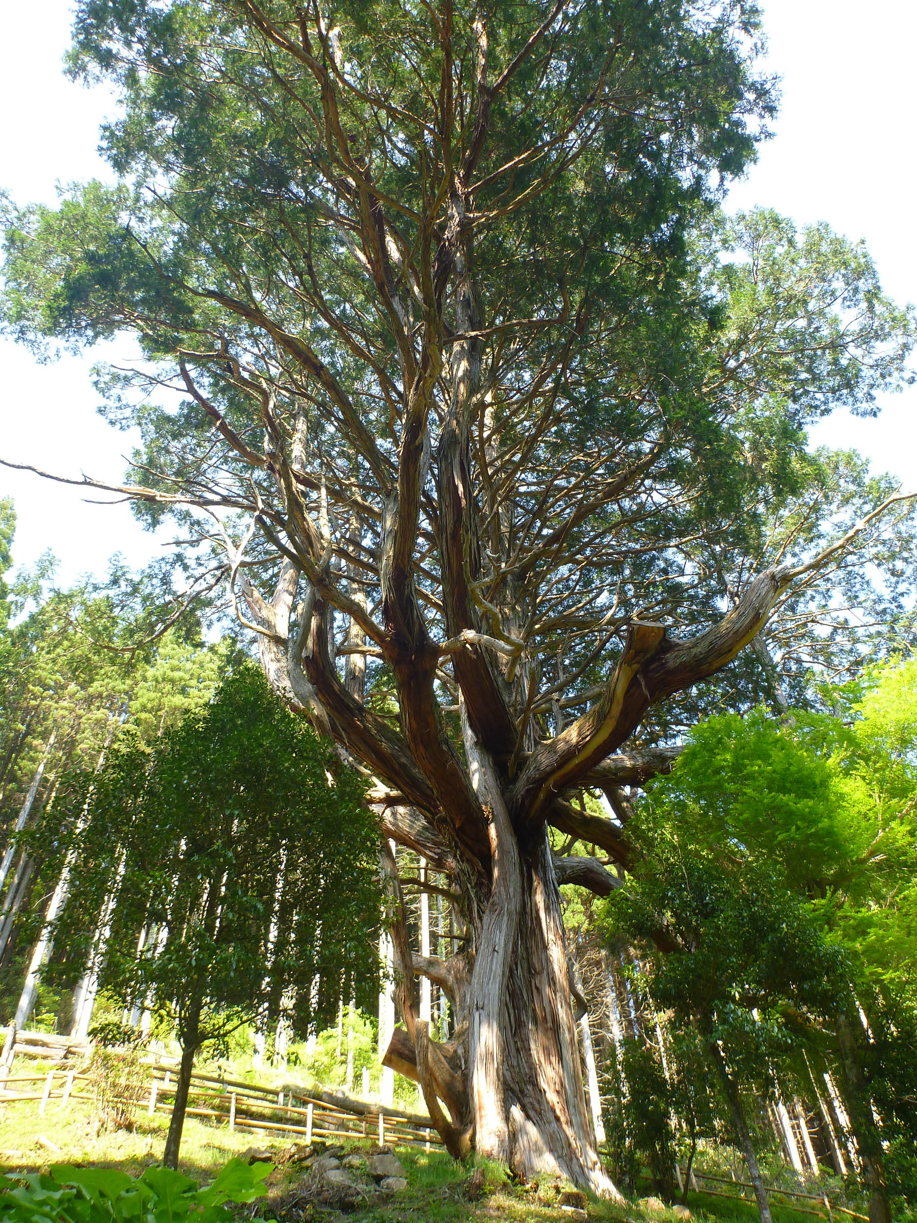
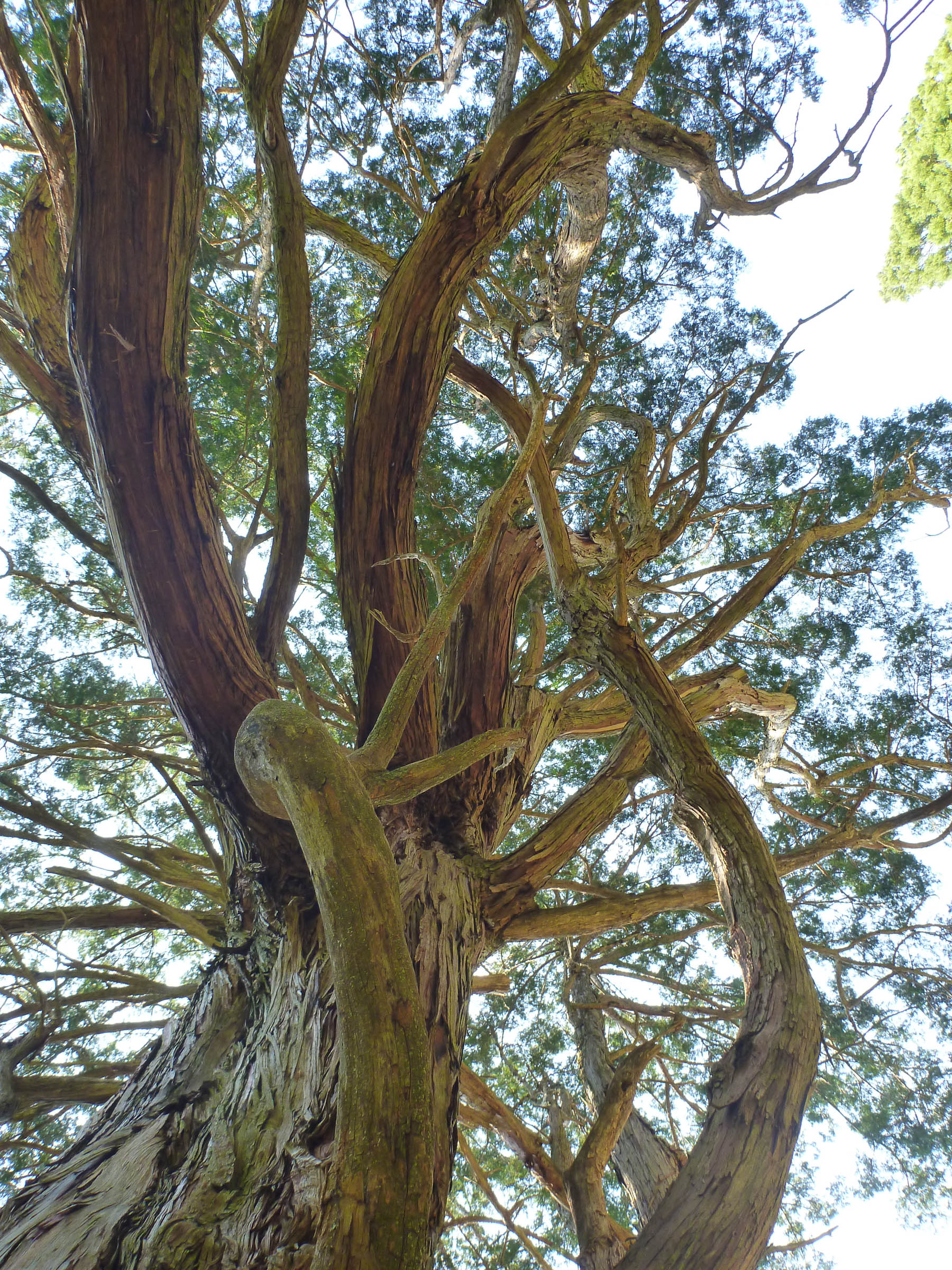
八村杉
八村杉
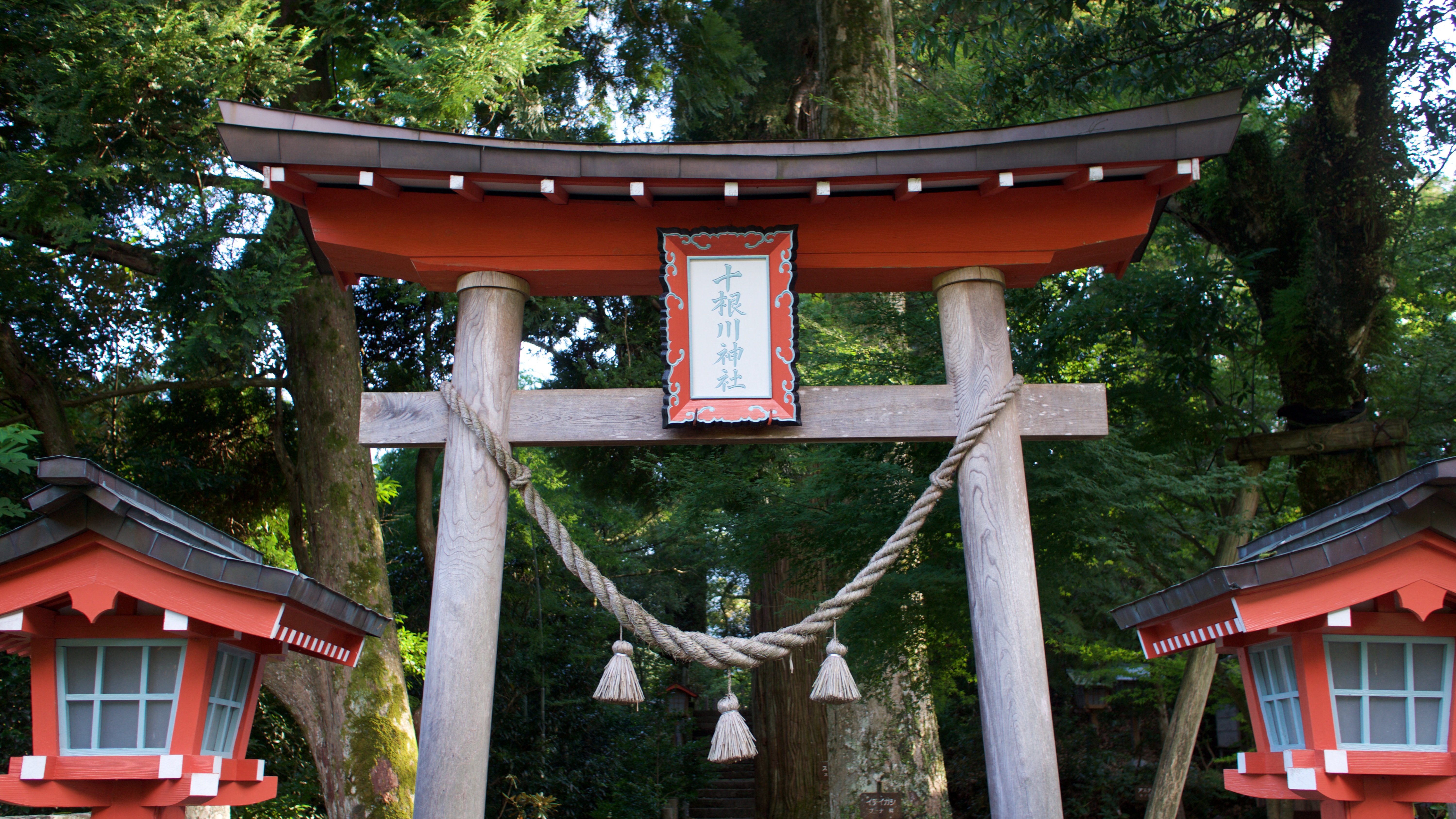
十根川神社 Tonegawa Shrine
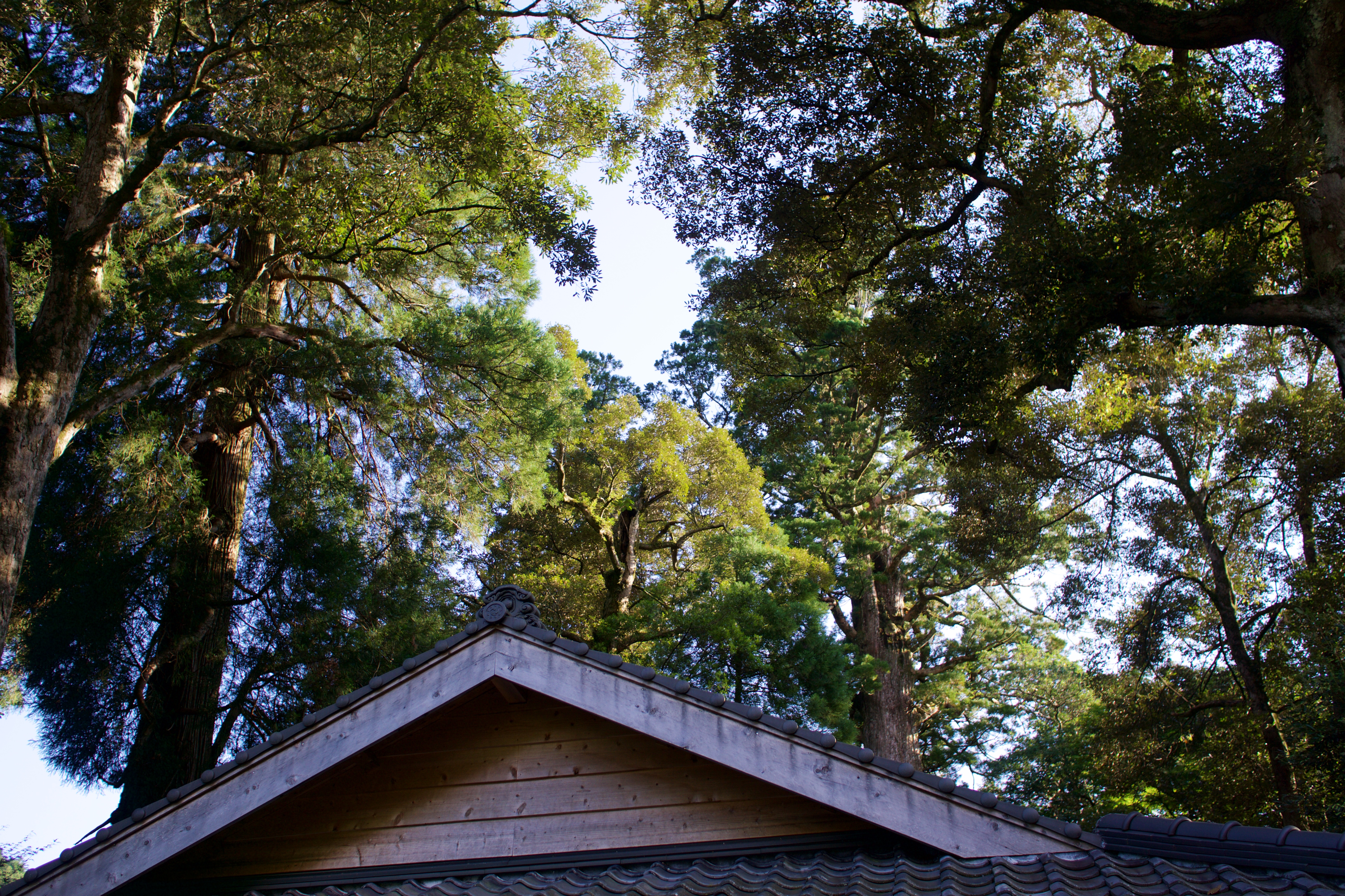
十根川神社 Tonegawa Shrine
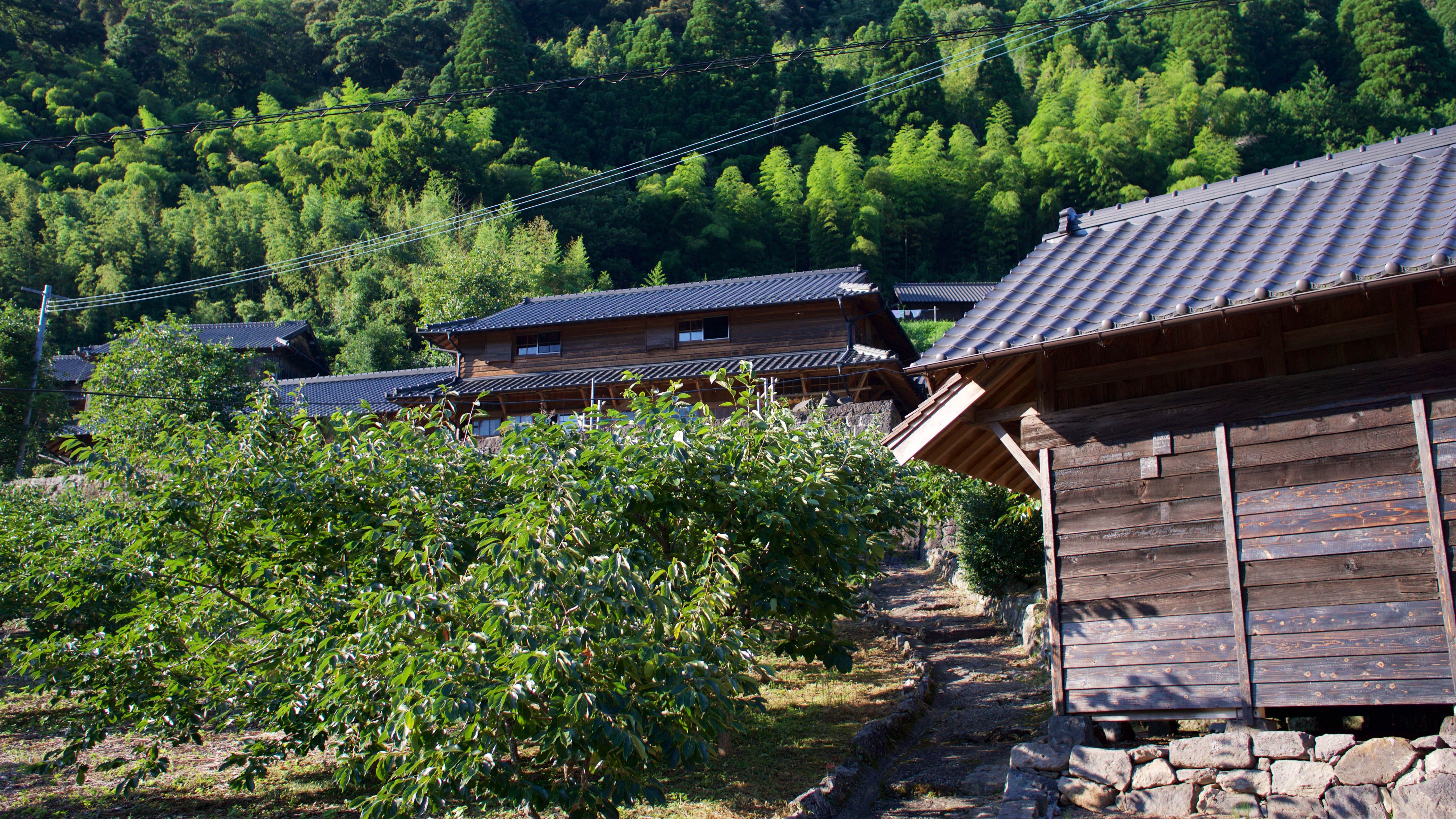
十根川重要伝統的建造物群保存地区
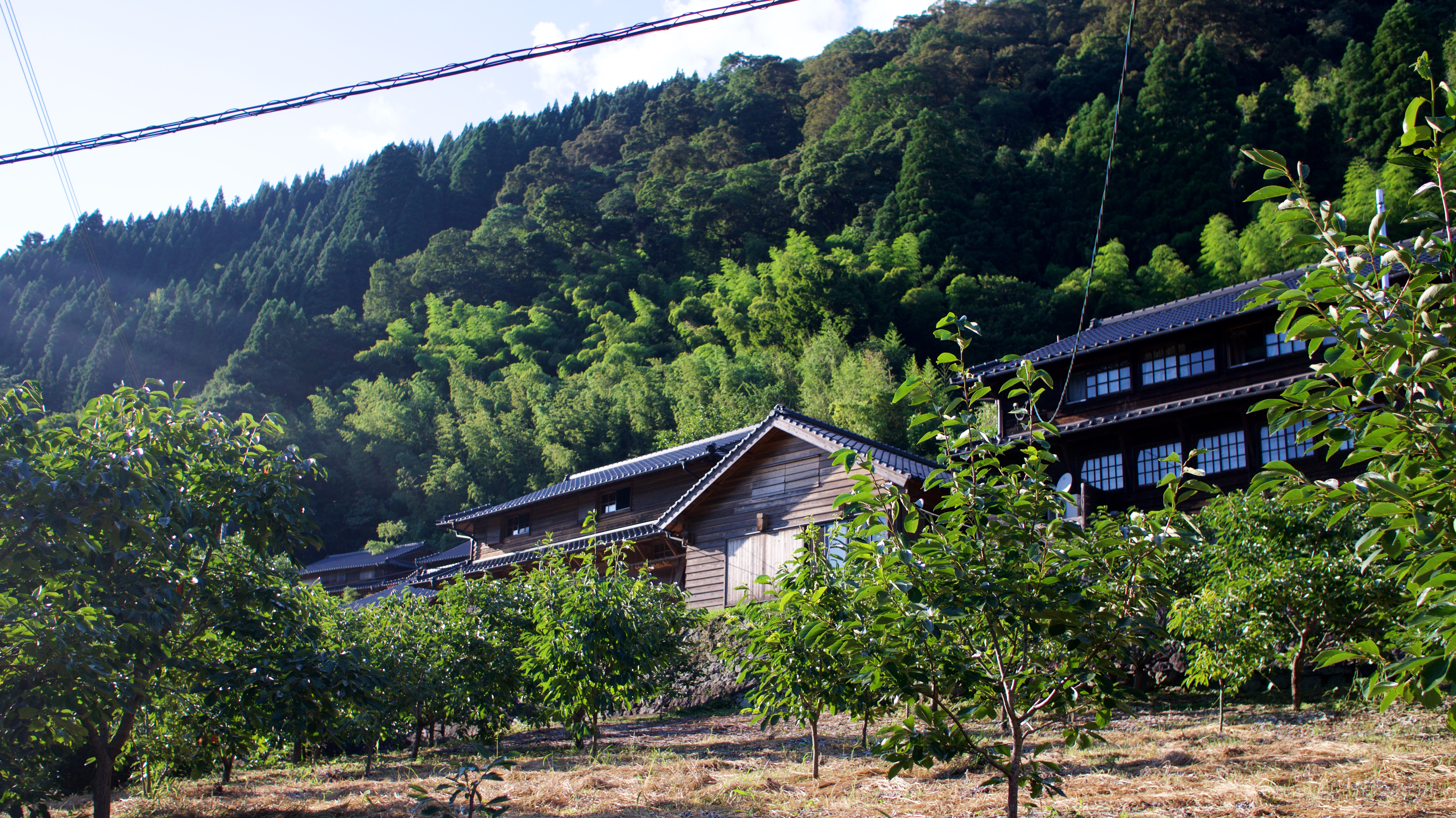
十根川重要伝統的建造物群保存地区
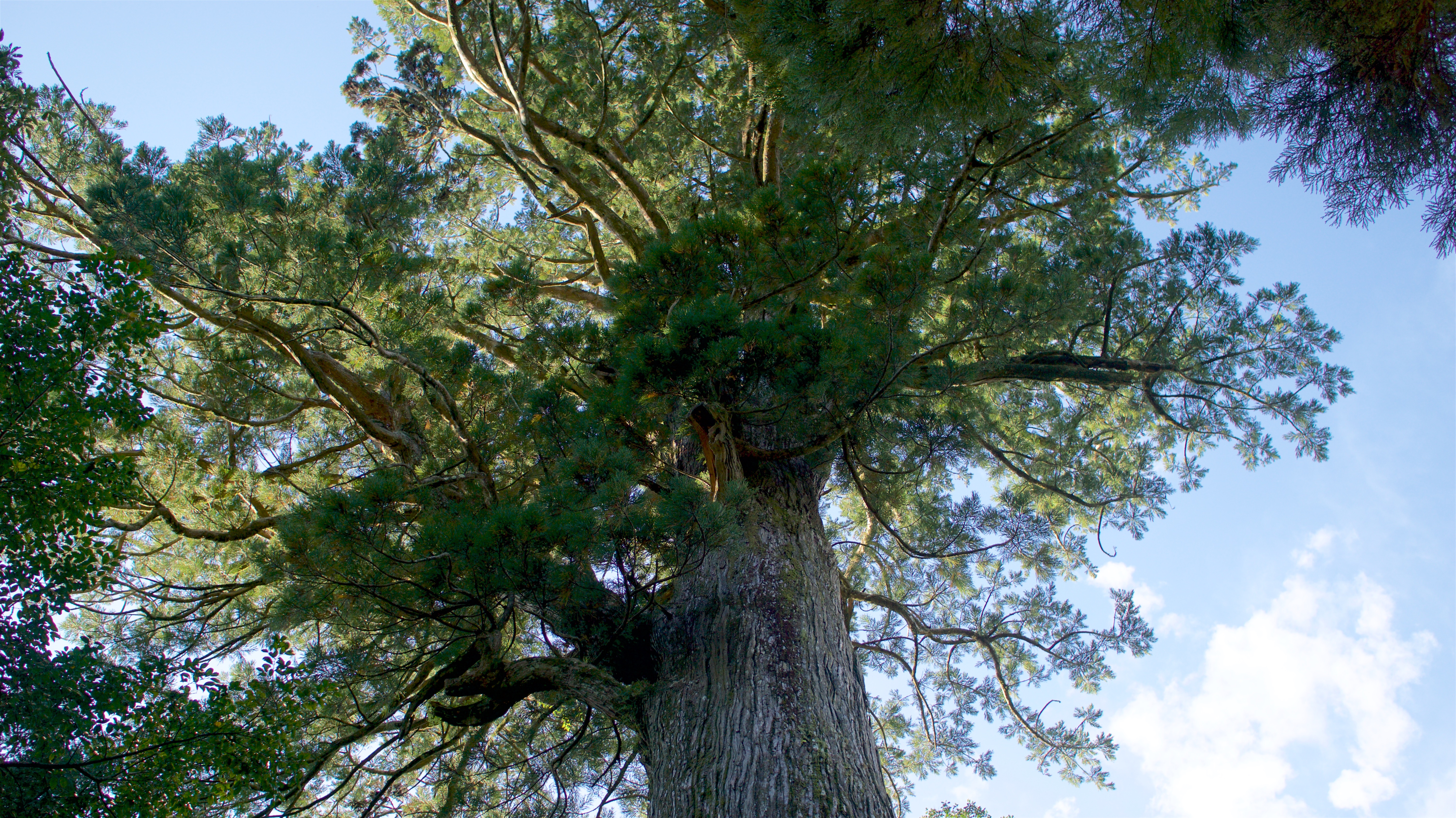
"the hinokia (Japanese) cypress of Ohkubo"

"the hinokia (Japanese) cypress of Ohkubo"
"the hinokia (Japanese) cypress of Ohkubo"
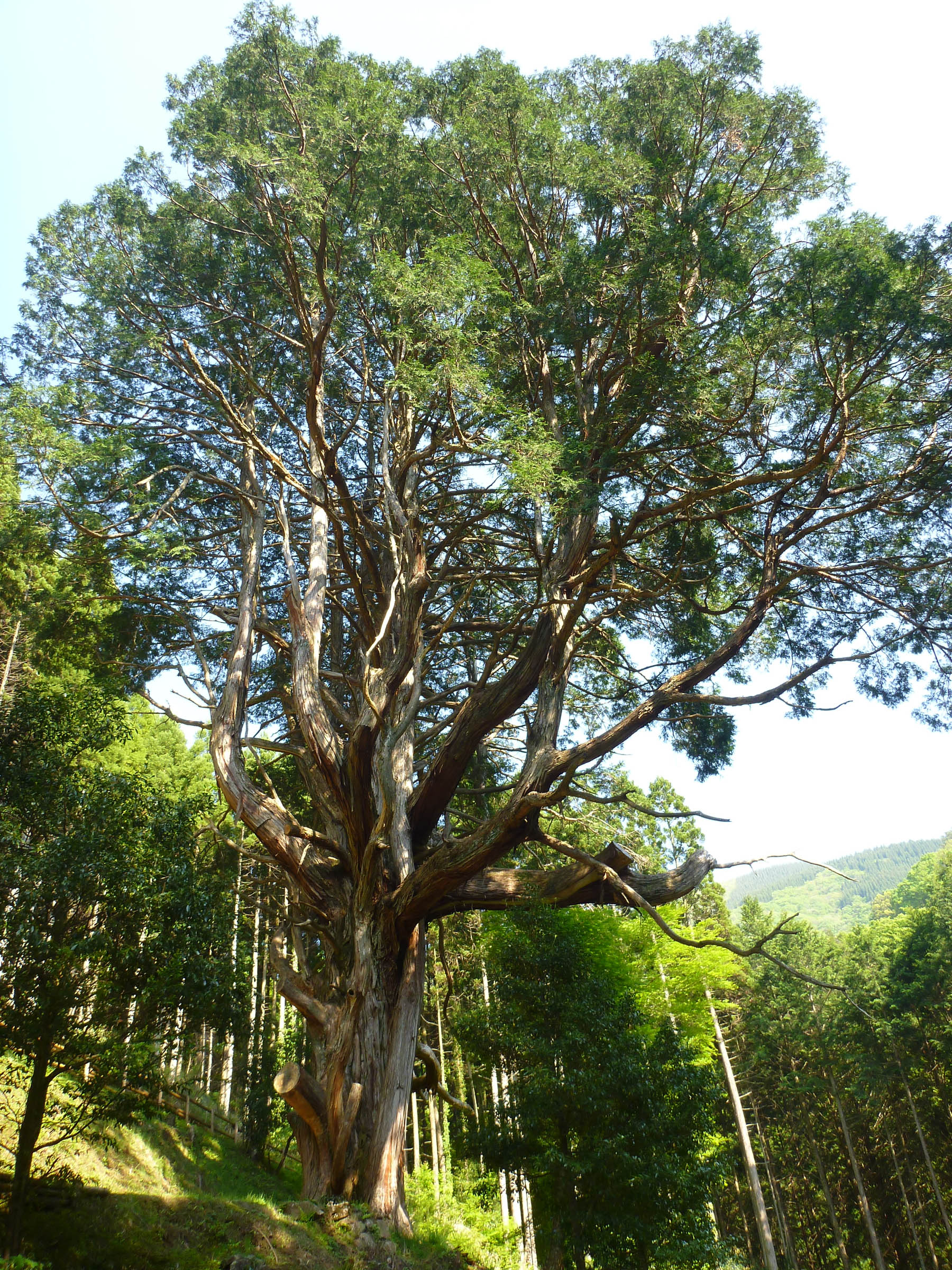
"the hinokia (Japanese) cypress of Ohkubo"
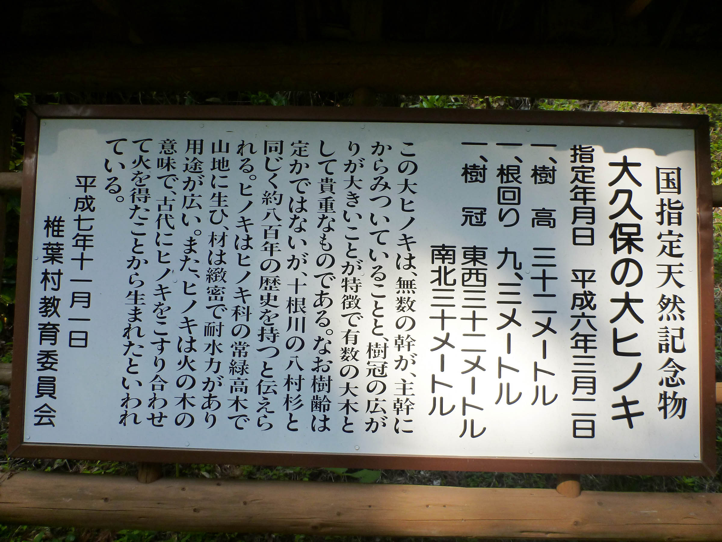
"the hinokia (Japanese) cypress of Ohkubo", sign.
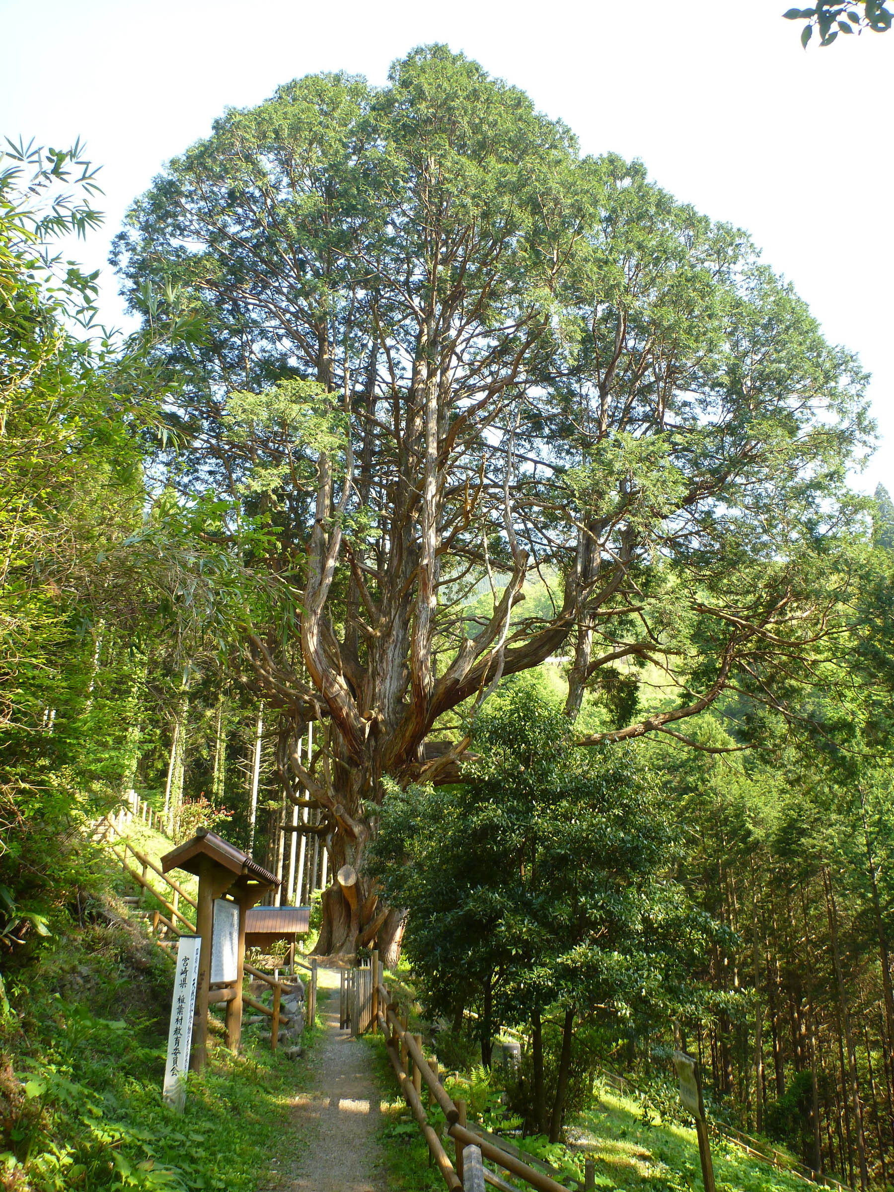
"the hinokia (Japanese) cypress of Ohkubo"
Topographic Map of Higashiusuki District, Miyazaki Prefecture, Japan
Find elevation by address:

Places in Higashiusuki District, Miyazaki Prefecture, Japan:
Places near Higashiusuki District, Miyazaki Prefecture, Japan:
Morotsuka
Saigōyamasanga, Misato-chō, Higashiusuki-gun, Miyazaki-ken -, Japan
Nanatsuyama, Morotsuka-son, Higashiusuki-gun, Miyazaki-ken -, Japan
Misato
Shiiba
Shimofukura, Shiiba-son, Higashiusuki-gun, Miyazaki-ken -, Japan
Hinokage
Tōgōchō Yamagetei, Hyūga-shi, Miyazaki-ken -, Japan
Nishiusuki District
-6 Mukōyama, Takachiho-chō, Nishiusuki-gun, Miyazaki-ken -, Japan
Kuraoka, Gokase-chō, Nishiusuki-gun, Miyazaki-ken -, Japan
Takachiho
Nanaori, Hinokage-chō, Nishiusuki-gun, Miyazaki-ken -, Japan
Gokase
Mitai, Takachiho-chō, Nishiusuki-gun, Miyazaki-ken -, Japan
Hyuga
Kadokawaozue, Kadogawa-chō, Higashiusuki-gun, Miyazaki-ken -, Japan
Eshiro, Mizukami-mura, Kuma-gun, Kumamoto-ken -, Japan
Kadogawa
Ōhira, Yamato-chō, Kamimashiki-gun, Kumamoto-ken -, Japan
Recent Searches:
- Elevation of Spaceport America, Co Rd A, Truth or Consequences, NM, USA
- Elevation of Warwick, RI, USA
- Elevation of Fern Rd, Whitmore, CA, USA
- Elevation of 62 Abbey St, Marshfield, MA, USA
- Elevation of Fernwood, Bradenton, FL, USA
- Elevation of Felindre, Swansea SA5 7LU, UK
- Elevation of Leyte Industrial Development Estate, Isabel, Leyte, Philippines
- Elevation of W Granada St, Tampa, FL, USA
- Elevation of Pykes Down, Ivybridge PL21 0BY, UK
- Elevation of Jalan Senandin, Lutong, Miri, Sarawak, Malaysia