Elevation of Higashinaruse, Ogachi District, Akita Prefecture, Japan
Location: Japan > Akita Prefecture > Ogachi District >
Longitude: 140.648889
Latitude: 39.1791829
Elevation: 192m / 630feet
Barometric Pressure: 99KPa
Elevation Map:
Satellite Map:
Related Photos:
20141102133327+IMG_7918.JPG

Bridge destroyed by earthquake

Mountain clouds

Mountain clouds

Akita Rice Field
Gently...
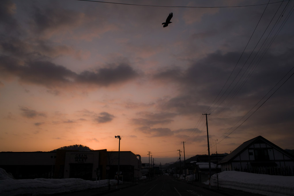
before dawn

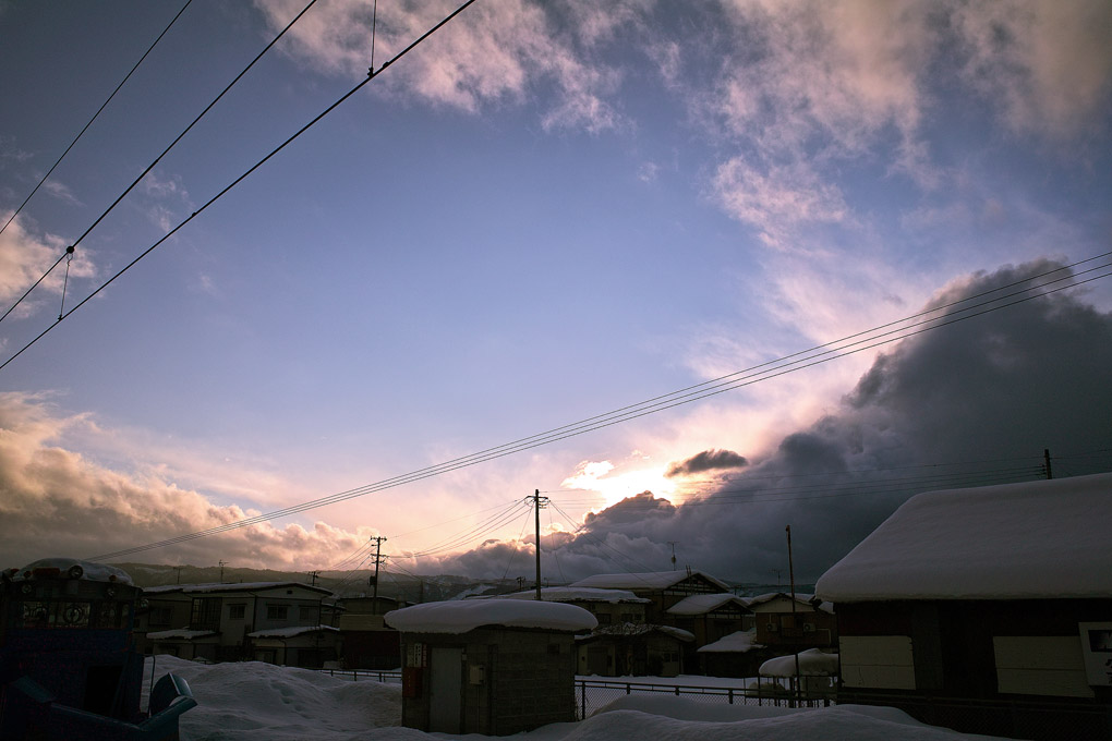
Dramatic Morning.
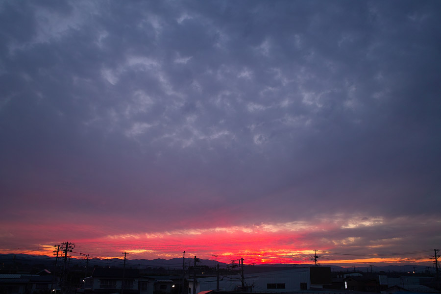
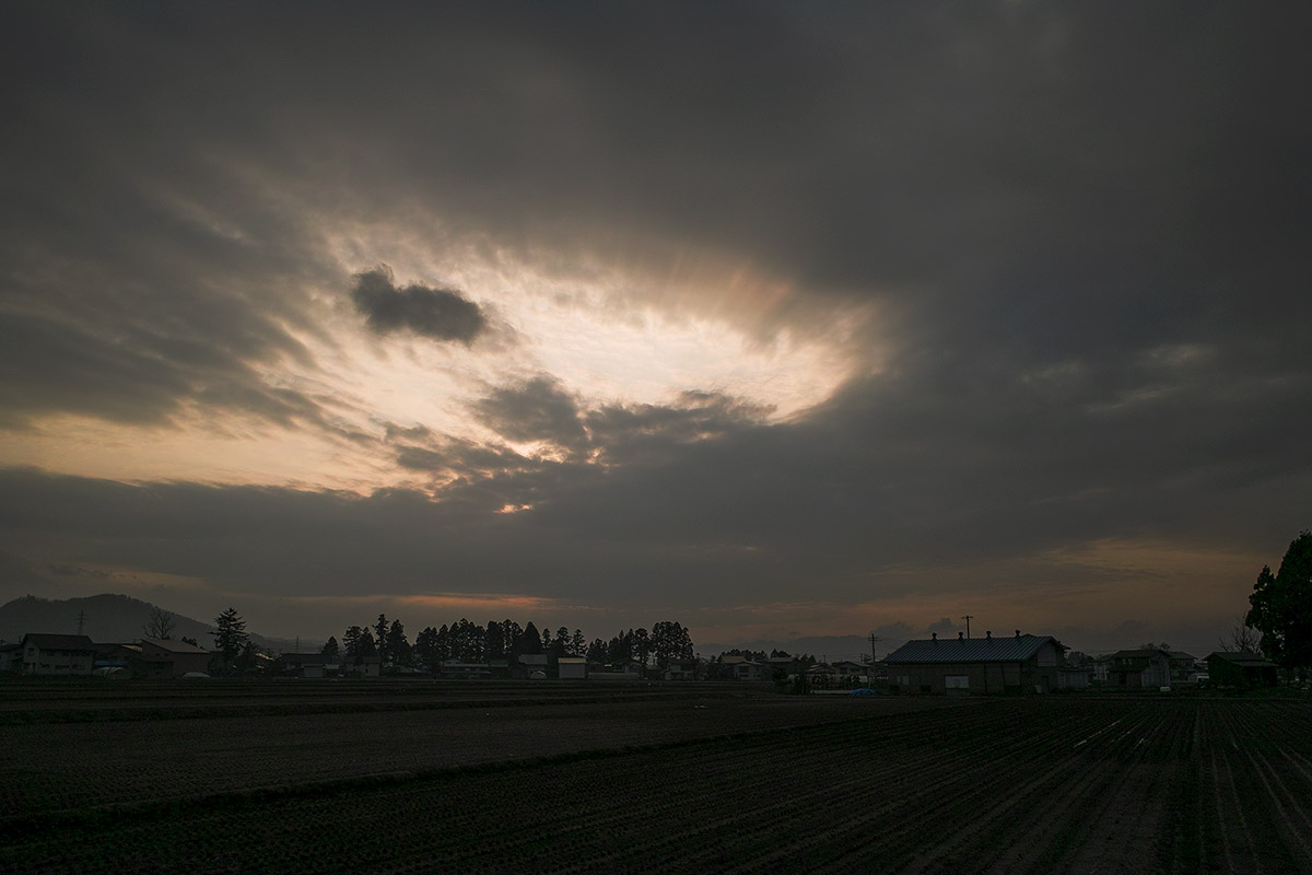
Red shine
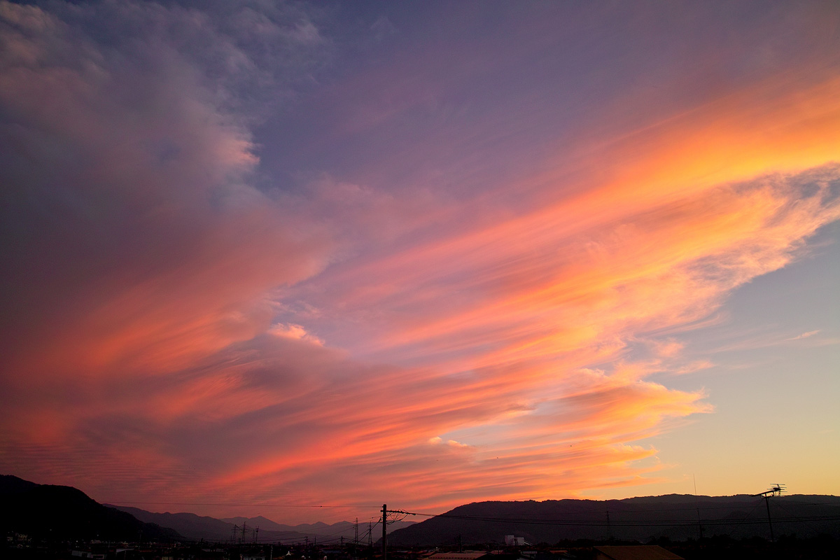
Curtain of clouds #03
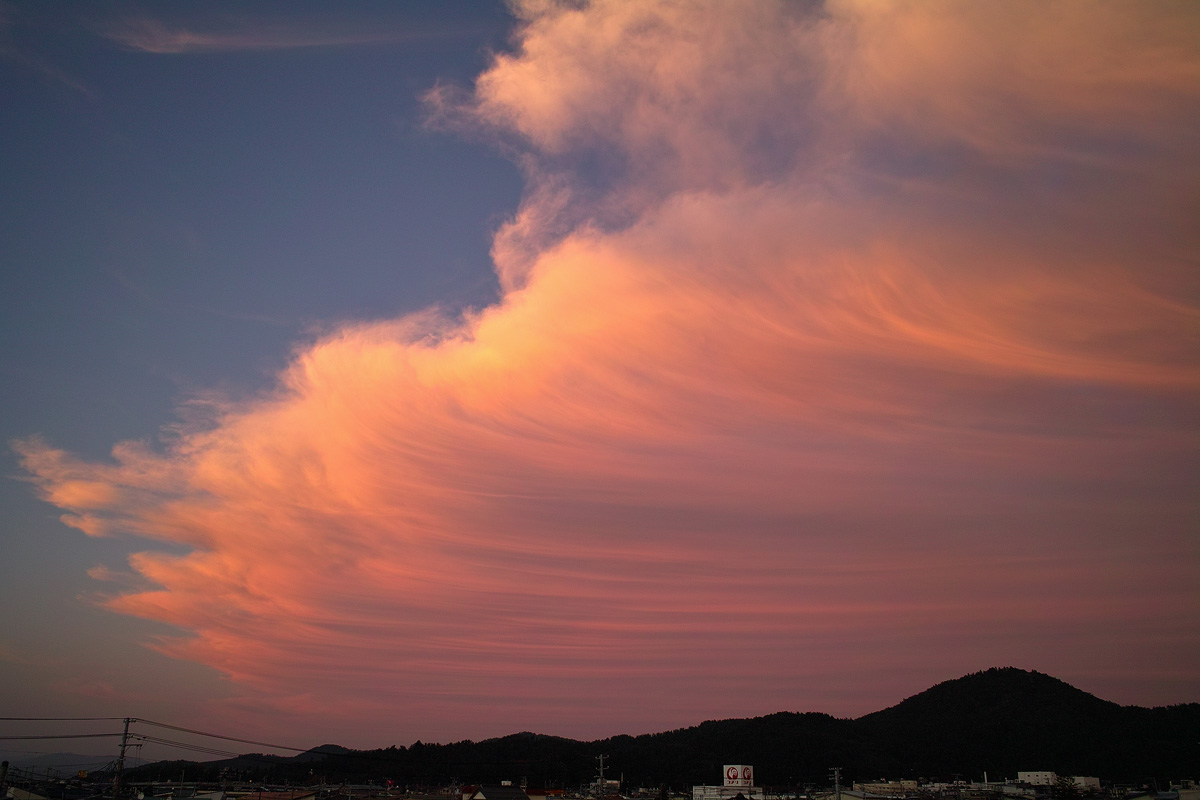
Curtain of clouds #01
The sky,after

-8

Yuzawa Inukko Winter Festival Ice Shrine (112 2012)
Searching for my yesterday
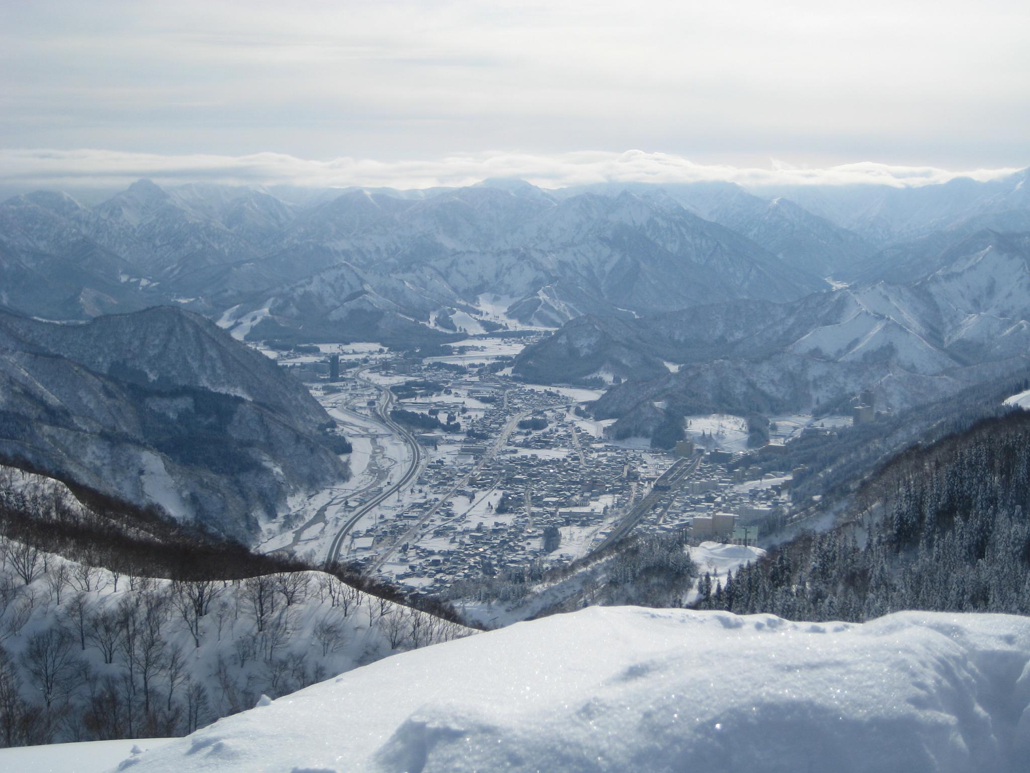
Echigo Yuzawa
I catch a dragon !
Spring time
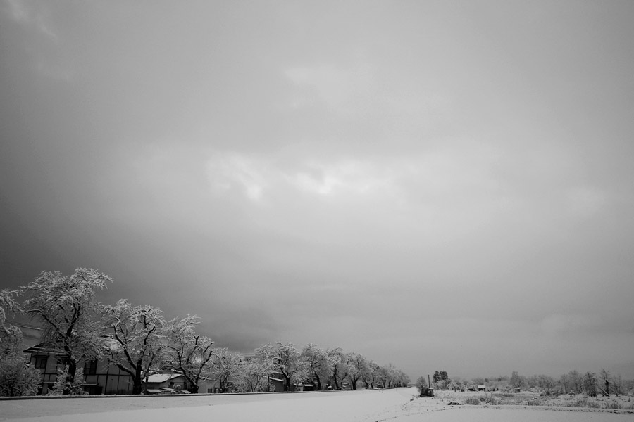
snow trees
Topographic Map of Higashinaruse, Ogachi District, Akita Prefecture, Japan
Find elevation by address:

Places in Higashinaruse, Ogachi District, Akita Prefecture, Japan:
Places near Higashinaruse, Ogachi District, Akita Prefecture, Japan:
Koginzawadeguchi-19 Tsubakikawa, Higashinaruse-mura, Ogachi-gun, Akita-ken -, Japan
Mt. Yakeishi
Hottoyuda Station
40 Chiwari Kawashiri
18 Chiwari-19 Shimizugano, Nishiwaga-machi, Waga-gun, Iwate-ken -, Japan
Mt. Kurikoma
Isawa District
Kōyanohara-79- Nishine, Kanegasaki-chō, Isawa-gun, Iwate-ken -, Japan
Kanegasaki
2 Chome-1-43 Kajimachi, Kitakami-shi, Iwate-ken -, Japan
Kitakami
Nishiiwai District
Nanokamachi-24 Maesawaku, Ōshū-shi, Iwate-ken -, Japan
Oshu
4-15 Mizusawaku Fukuromachi, Ōshū-shi, Iwate-ken -, Japan
Tohoku Region
Hiraizumi
Izumiya-6 Hiraizumi, Hiraizumi-chō, Nishiiwai-gun, Iwate-ken -, Japan
Kitsunezakinakaarata-79 Ichihasama, Kurihara-shi, Miyagi-ken -, Japan
Ichinoseki
Recent Searches:
- Elevation of 72-31 Metropolitan Ave, Middle Village, NY, USA
- Elevation of 76 Metropolitan Ave, Brooklyn, NY, USA
- Elevation of Alisal Rd, Solvang, CA, USA
- Elevation of Vista Blvd, Sparks, NV, USA
- Elevation of 15th Ave SE, St. Petersburg, FL, USA
- Elevation of Beall Road, Beall Rd, Florida, USA
- Elevation of Leguwa, Nepal
- Elevation of County Rd, Enterprise, AL, USA
- Elevation of Kolchuginsky District, Vladimir Oblast, Russia
- Elevation of Shustino, Vladimir Oblast, Russia