Elevation of Higashiibaraki District, Ibaraki Prefecture, Japan
Location: Japan > Ibaraki Prefecture >
Longitude: 140.327
Latitude: 36.479
Elevation: 143m / 469feet
Barometric Pressure: 100KPa
Elevation Map:
Satellite Map:
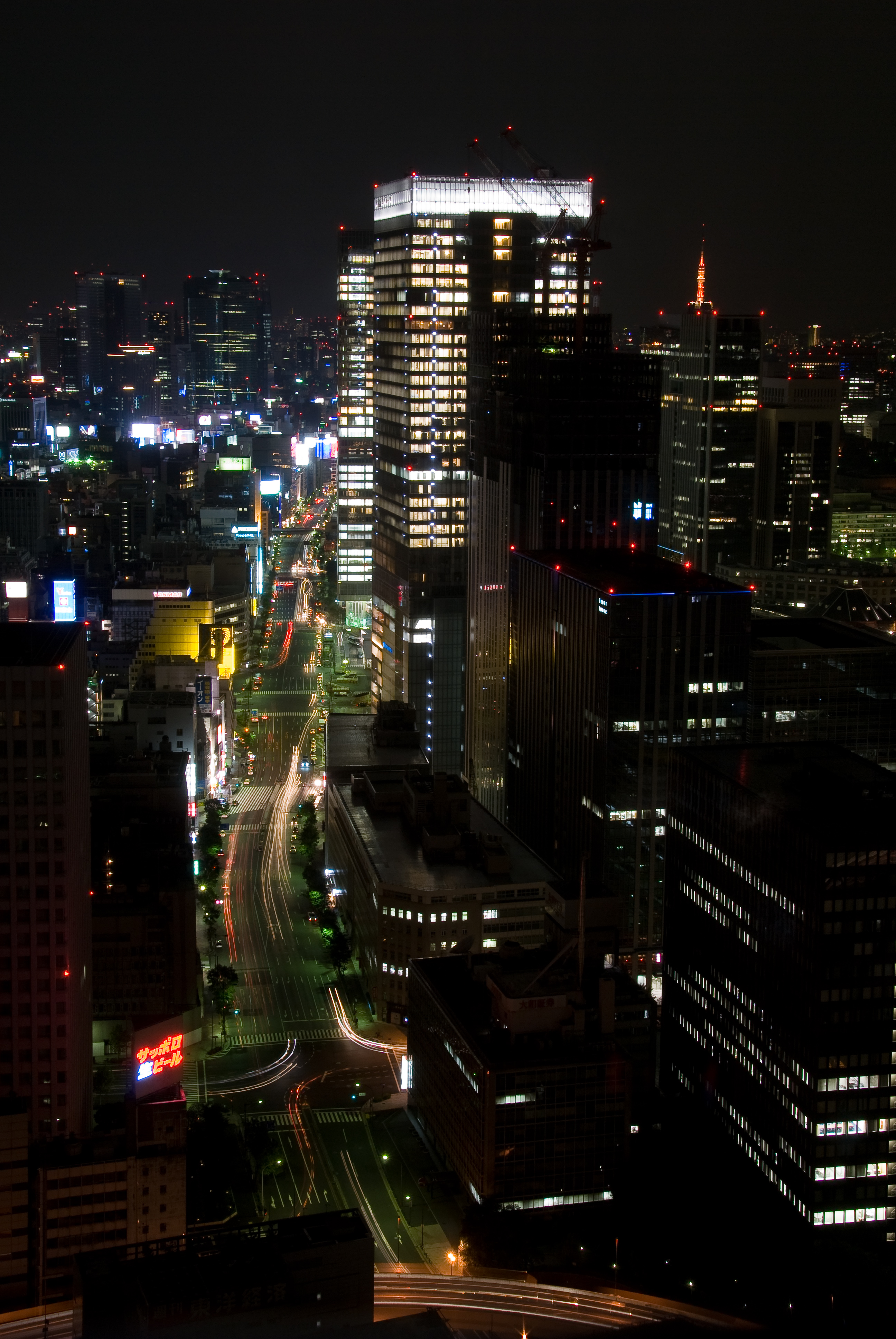
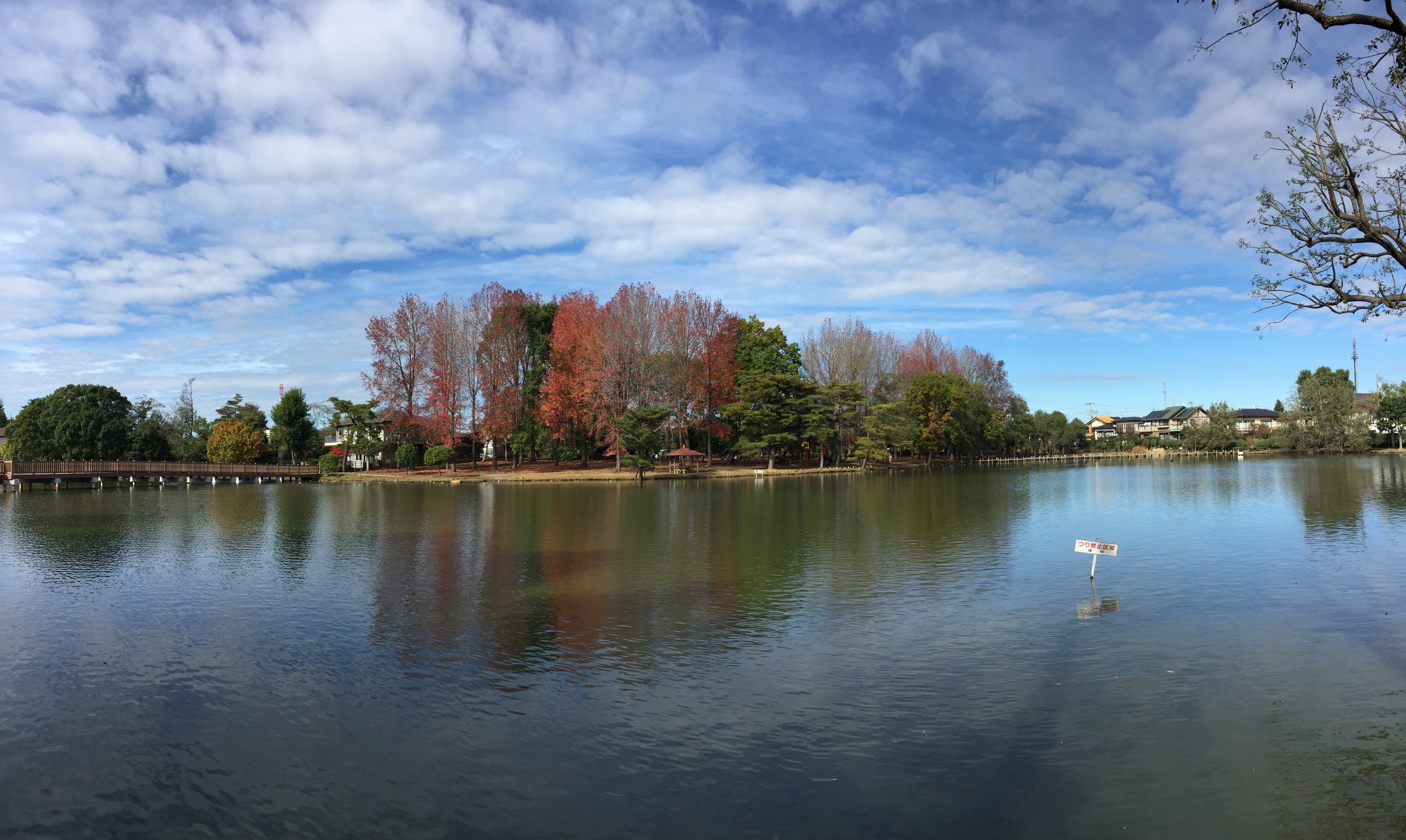
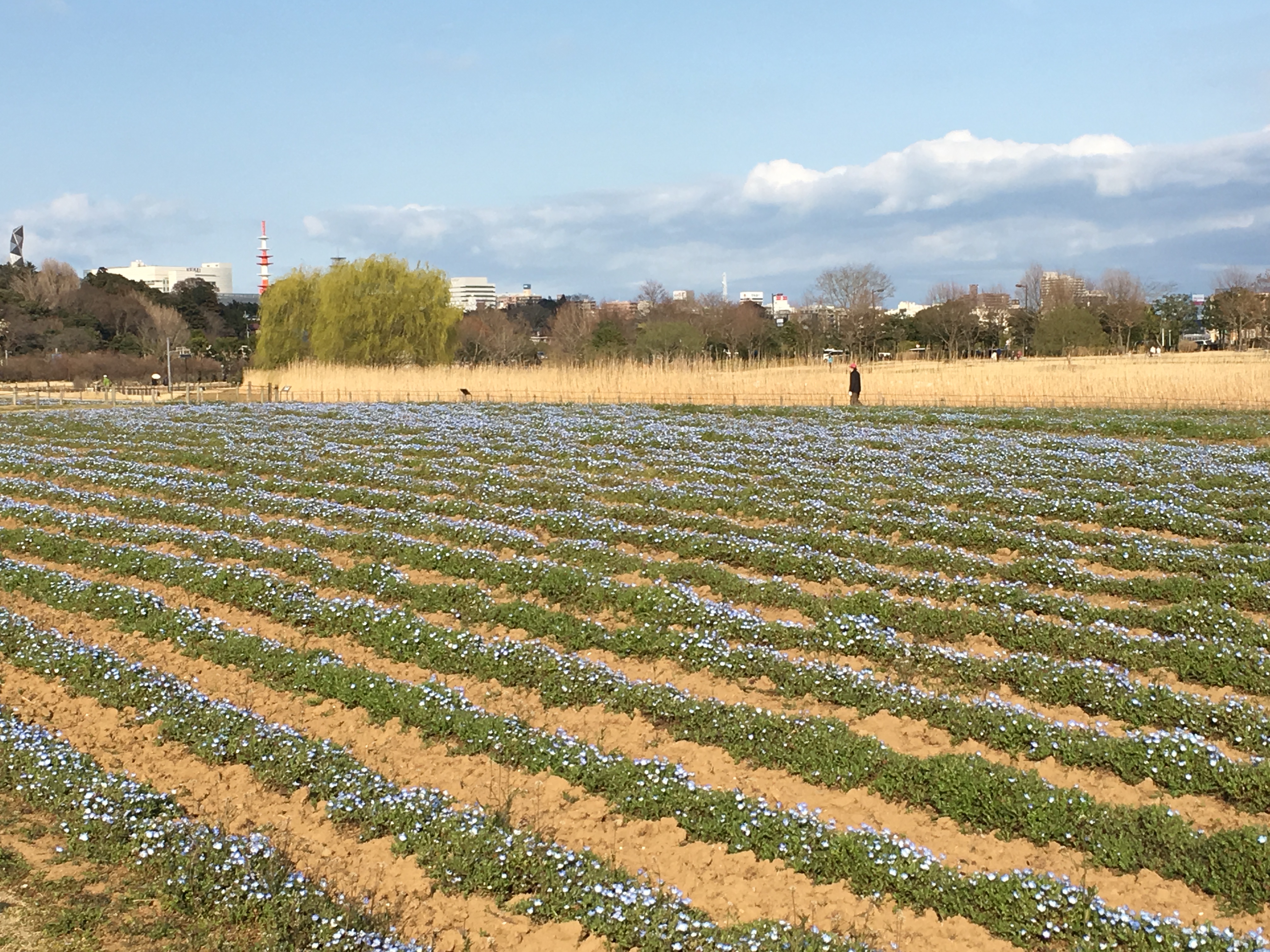
Related Photos:

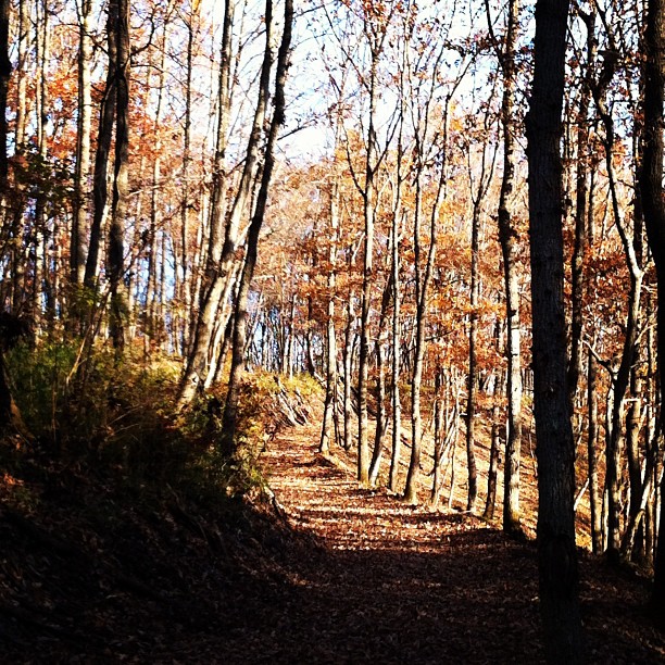
Light falling onto leaf through the trees
20071013-_DSC0320.jpg

關東15日_20140516-121623
IMG_5231.JPG
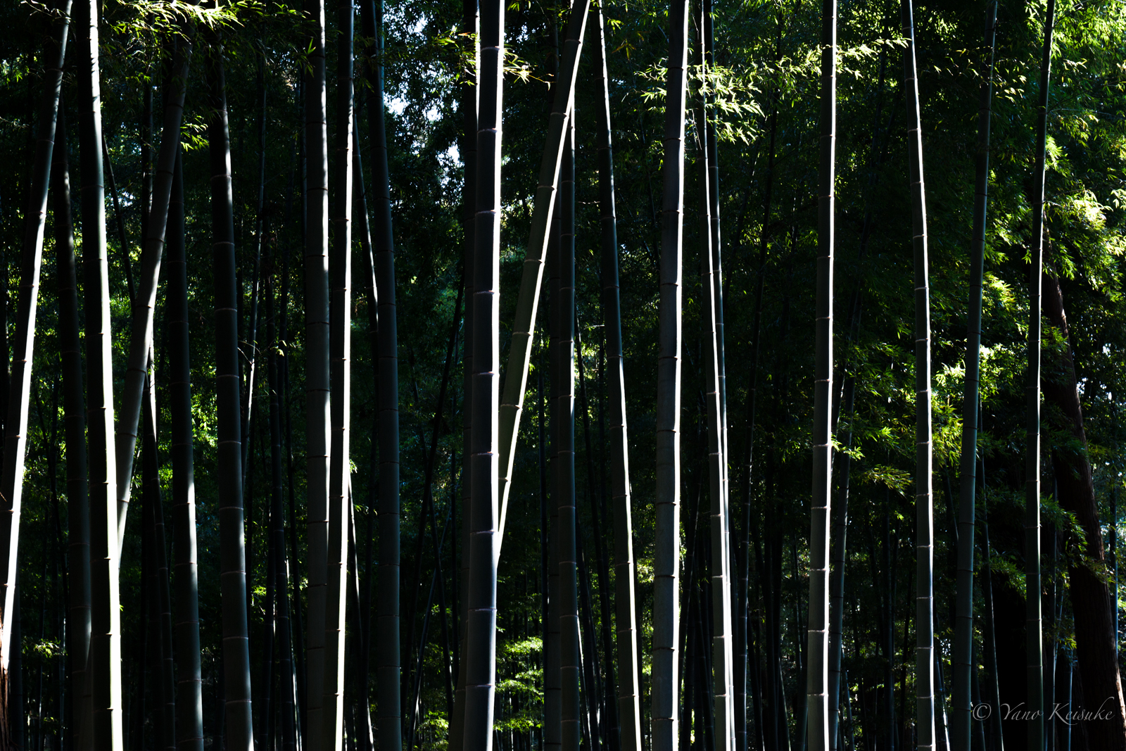
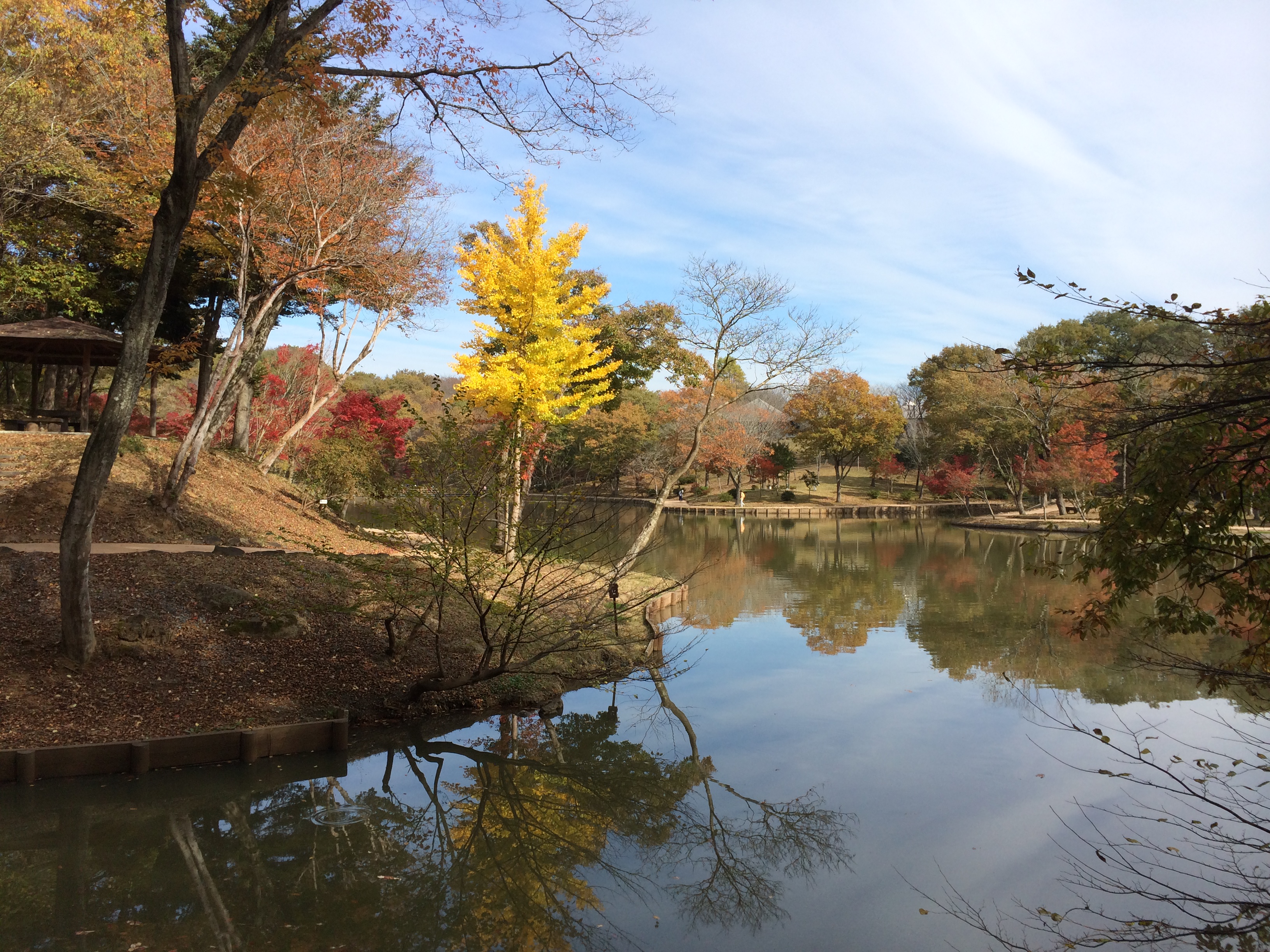
Through the grove
20160327-155840-4

カメラロール-238
朝焼け
20160703-191611-22
偕楽園第7回「夜・梅・祭」2012 The Plum festival at The Kairakuen
20160409-114615-29
高齢化した木が陰をつくり、若い木が育たないそうな。人間と一緒かも。森について学びました。朝早くなければなお楽しい。
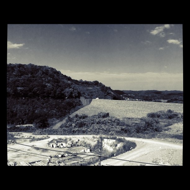
ダムのパトロールでございます。
20160419-130647-88
20160409-113327-17
20141116-114351-18
20141223-102054-1
20160419-160400-131
20141115-155211-10
20141116-114659-24
Witches Which
20150328-153839-17
IMG_4906.JPG
Topographic Map of Higashiibaraki District, Ibaraki Prefecture, Japan
Find elevation by address:

Places in Higashiibaraki District, Ibaraki Prefecture, Japan:
Places near Higashiibaraki District, Ibaraki Prefecture, Japan:
-1 Shimofuruuchi, Shirosato-machi, Higashiibaraki-gun, Ibaraki-ken -, Japan
-3 Ishitsuka, Shirosato-machi, Higashiibaraki-gun, Ibaraki-ken -, Japan
Shirosato
Hitachiomiya
Kasama, Kasama-shi, Ibaraki-ken -, Japan
Kasama
1 Chome-8-44 Chūō
笠間市役所
Kanoi, Motegi-machi, Haga-gun, Tochigi-ken -, Japan
那珂市一の関調整池太陽光発電所
3245-8 Kōnosu
Naka
Ibaraki Prefecture
Mito
1 Chome-4-1 Chūō, Mito-shi, Ibaraki-ken -, Japan
Haga District
-1 Tabiko, Hitachinaka-shi, Ibaraki-ken -, Japan
Hitachiota
Kanaichō, Hitachiōta-shi, Ibaraki-ken -, Japan
-18 Mashiko, Mashiko-machi, Haga-gun, Tochigi-ken -, Japan
Recent Searches:
- Elevation of Fern Rd, Whitmore, CA, USA
- Elevation of 62 Abbey St, Marshfield, MA, USA
- Elevation of Fernwood, Bradenton, FL, USA
- Elevation of Felindre, Swansea SA5 7LU, UK
- Elevation of Leyte Industrial Development Estate, Isabel, Leyte, Philippines
- Elevation of W Granada St, Tampa, FL, USA
- Elevation of Pykes Down, Ivybridge PL21 0BY, UK
- Elevation of Jalan Senandin, Lutong, Miri, Sarawak, Malaysia
- Elevation of Bilohirs'k
- Elevation of 30 Oak Lawn Dr, Barkhamsted, CT, USA