Elevation of Hidaka, Saitama Prefecture, Japan
Location: Japan > Saitama Prefecture >
Longitude: 139.339026
Latitude: 35.9077959
Elevation: 74m / 243feet
Barometric Pressure: 100KPa
Elevation Map:
Satellite Map:
Related Photos:

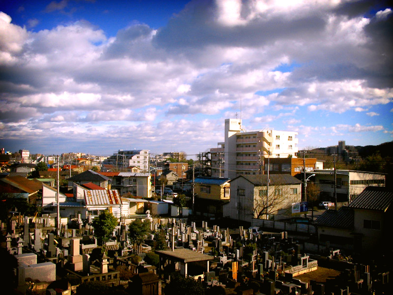
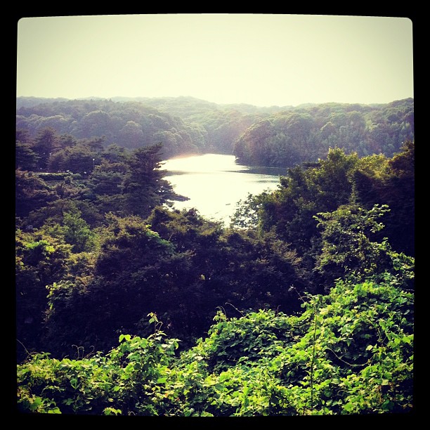
View from the Earth
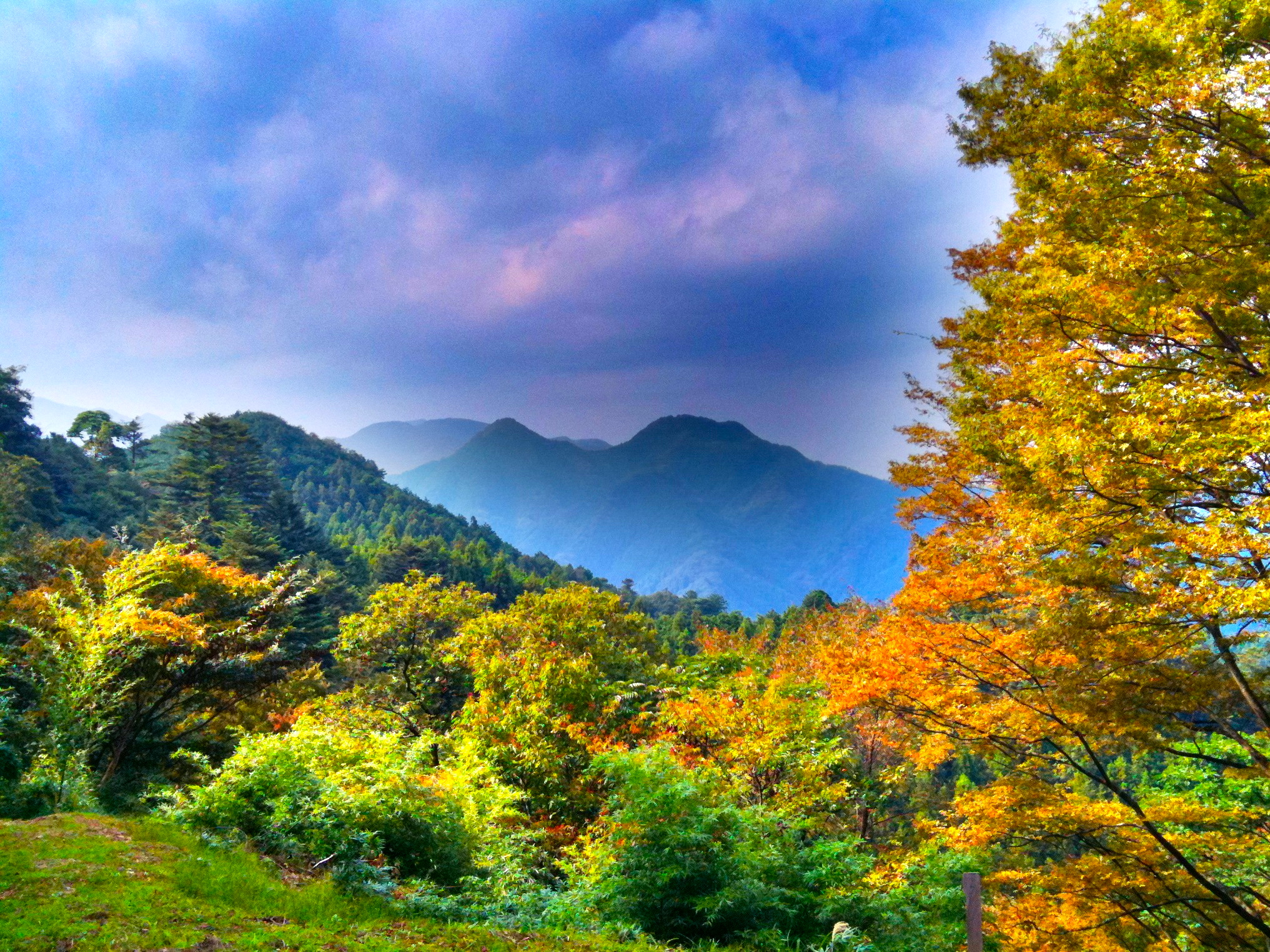
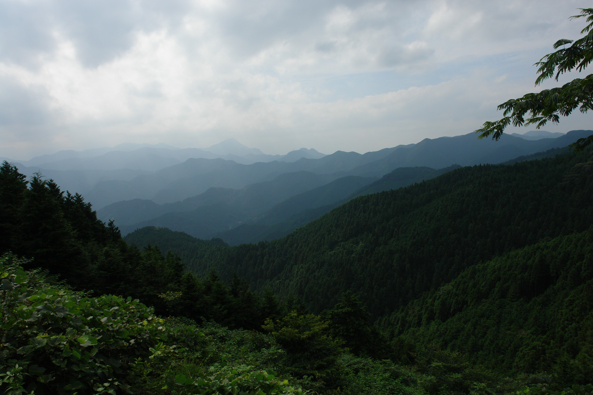
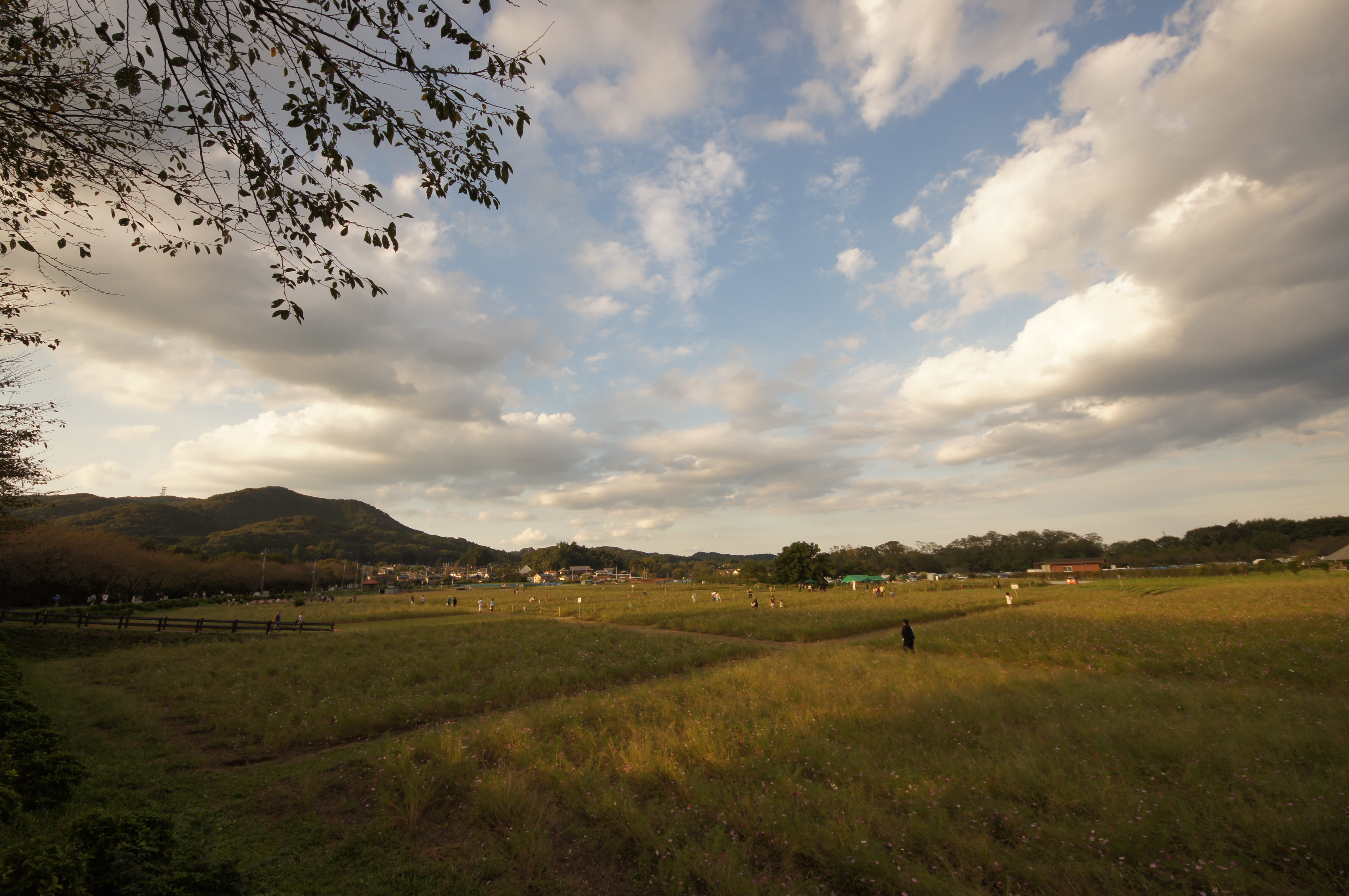
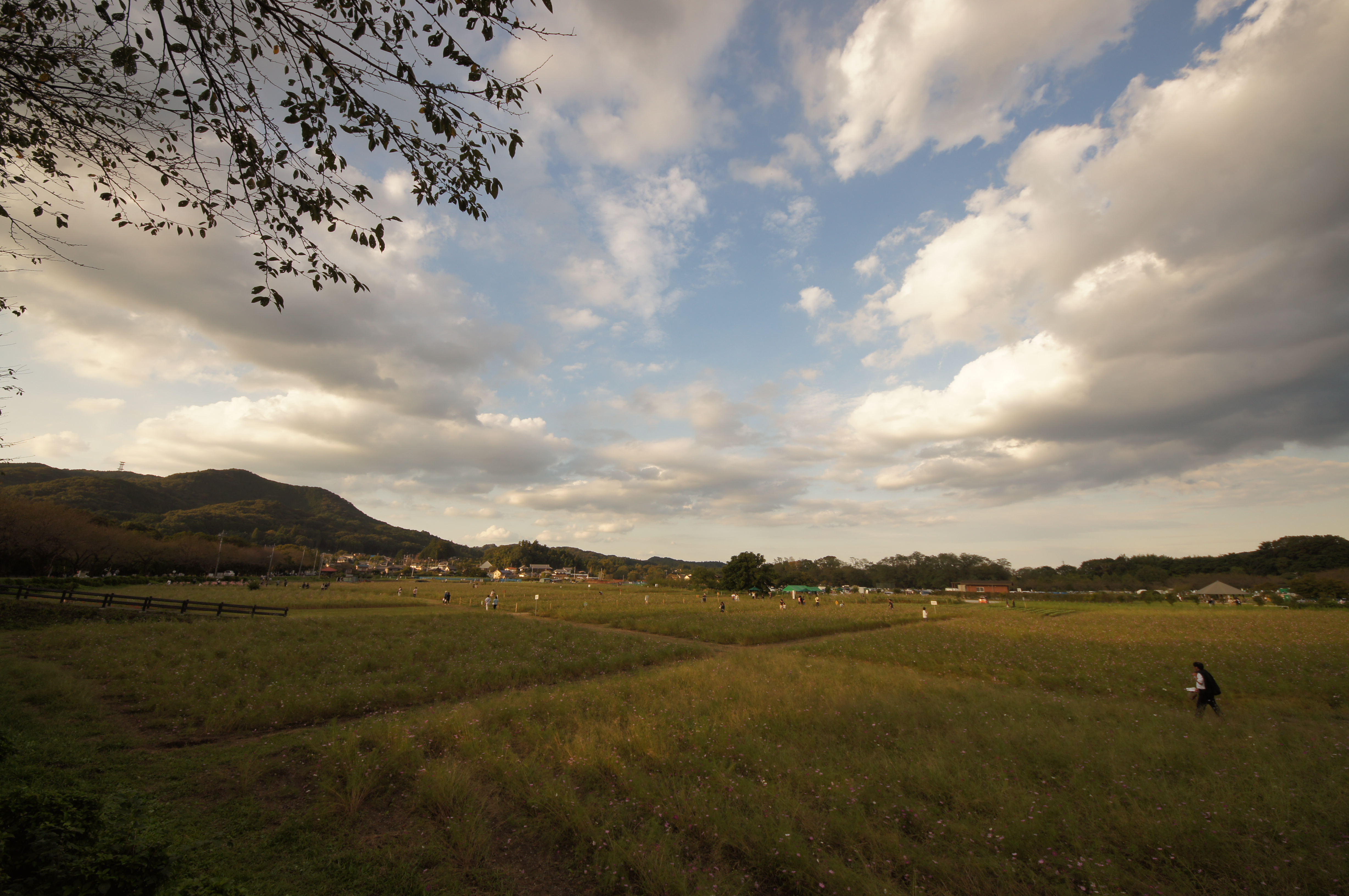
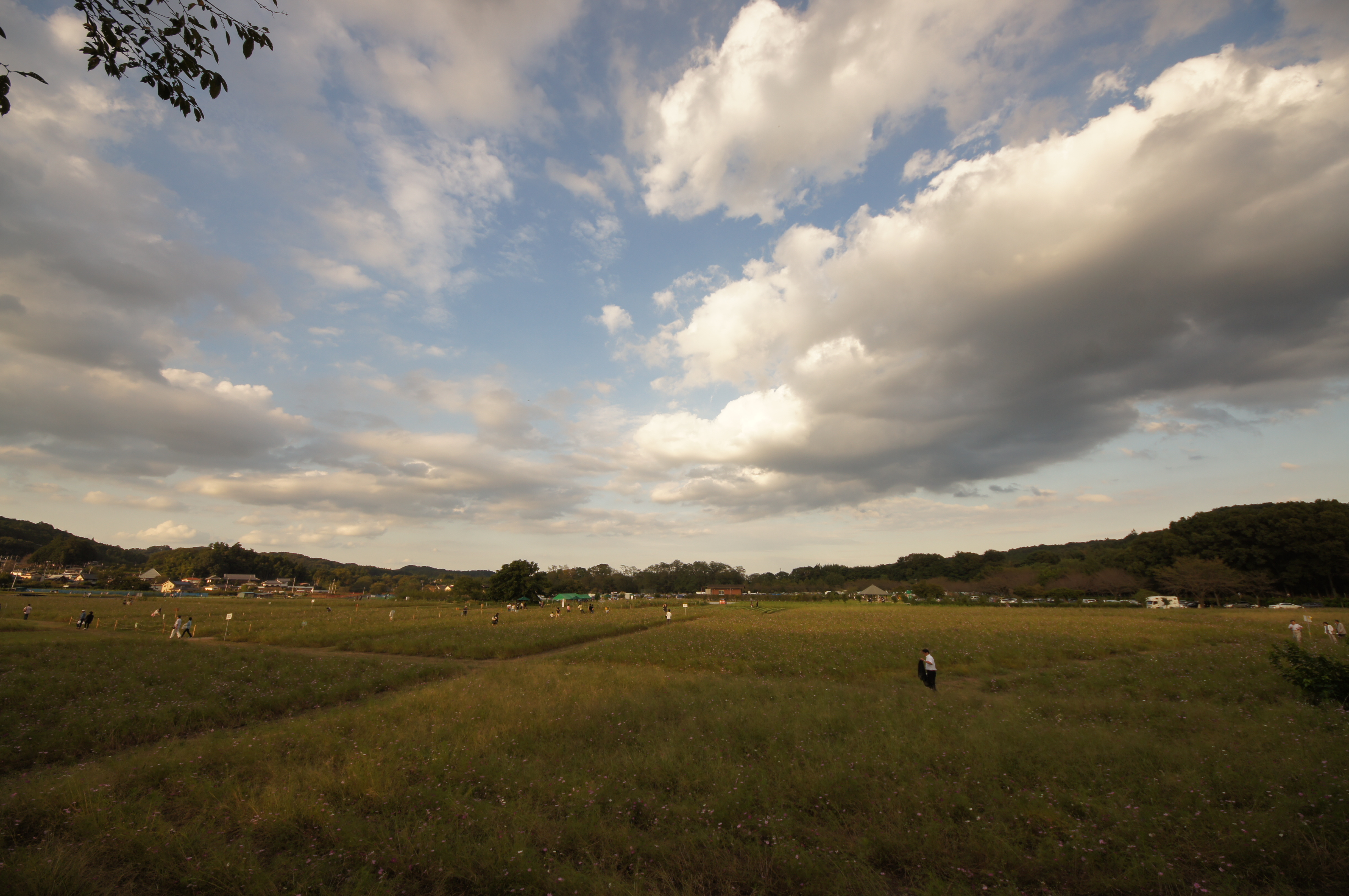
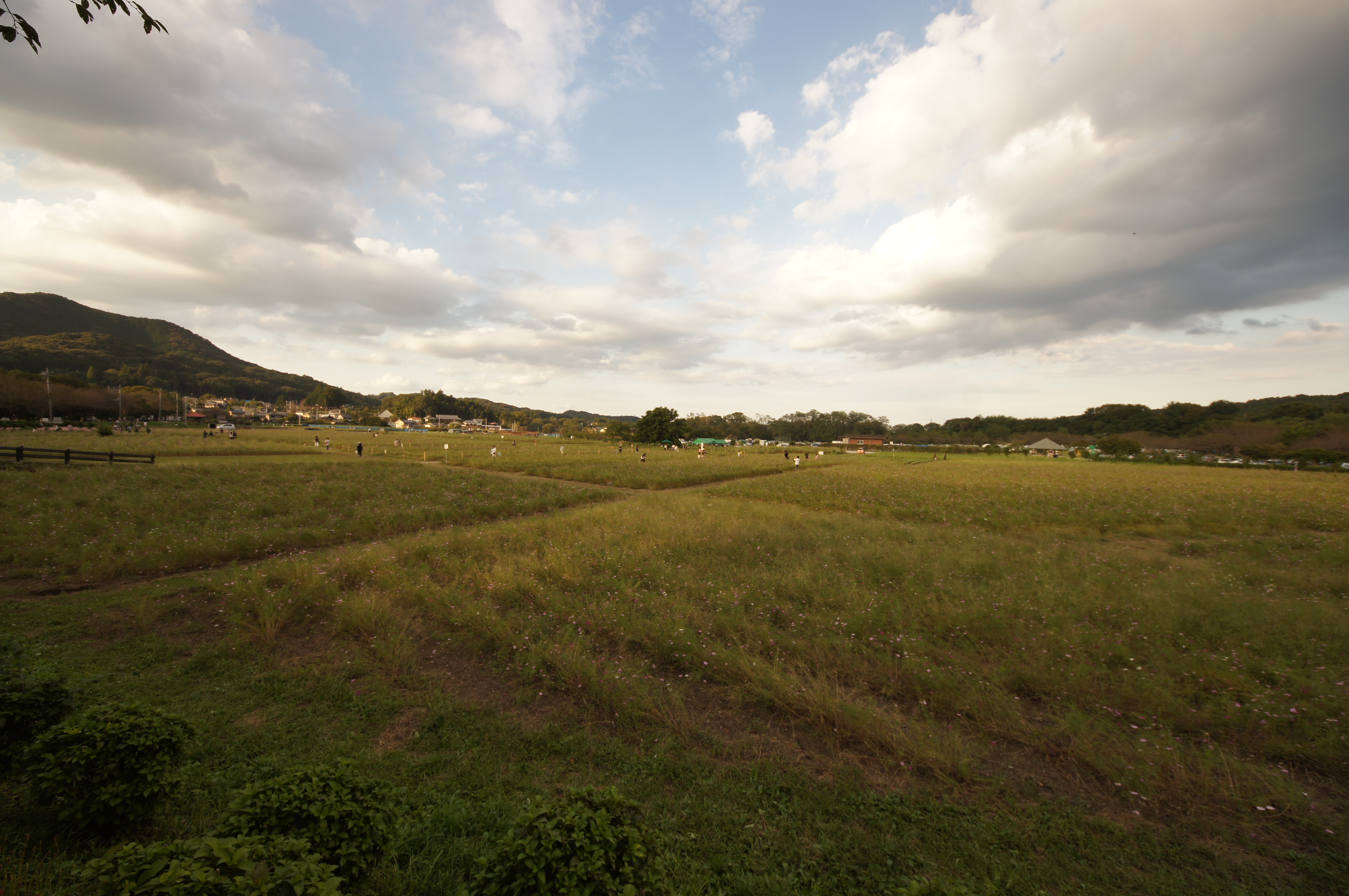
mountain view
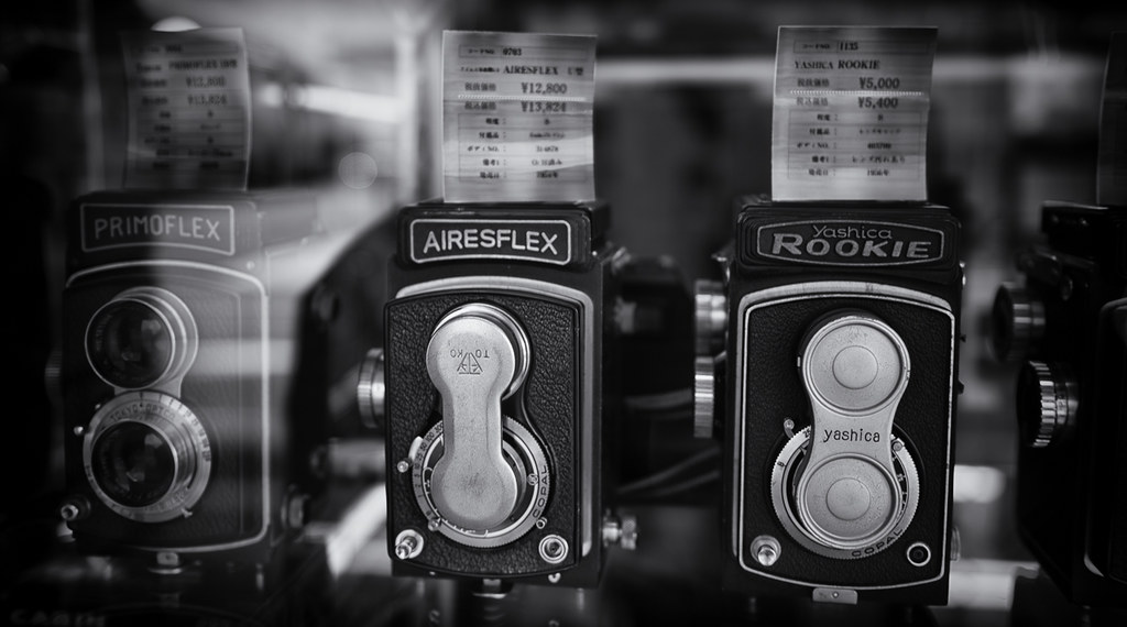
camera's view
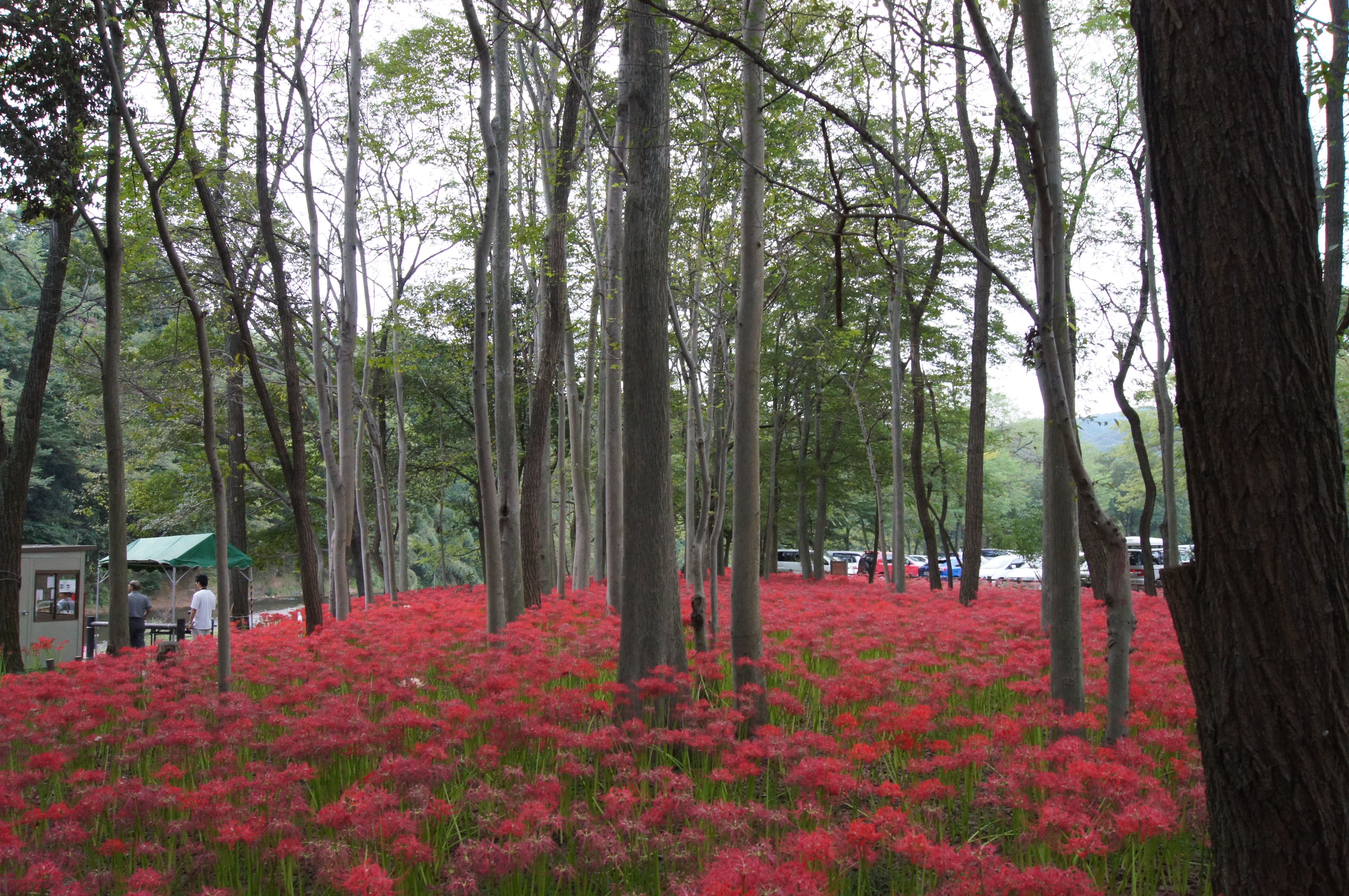
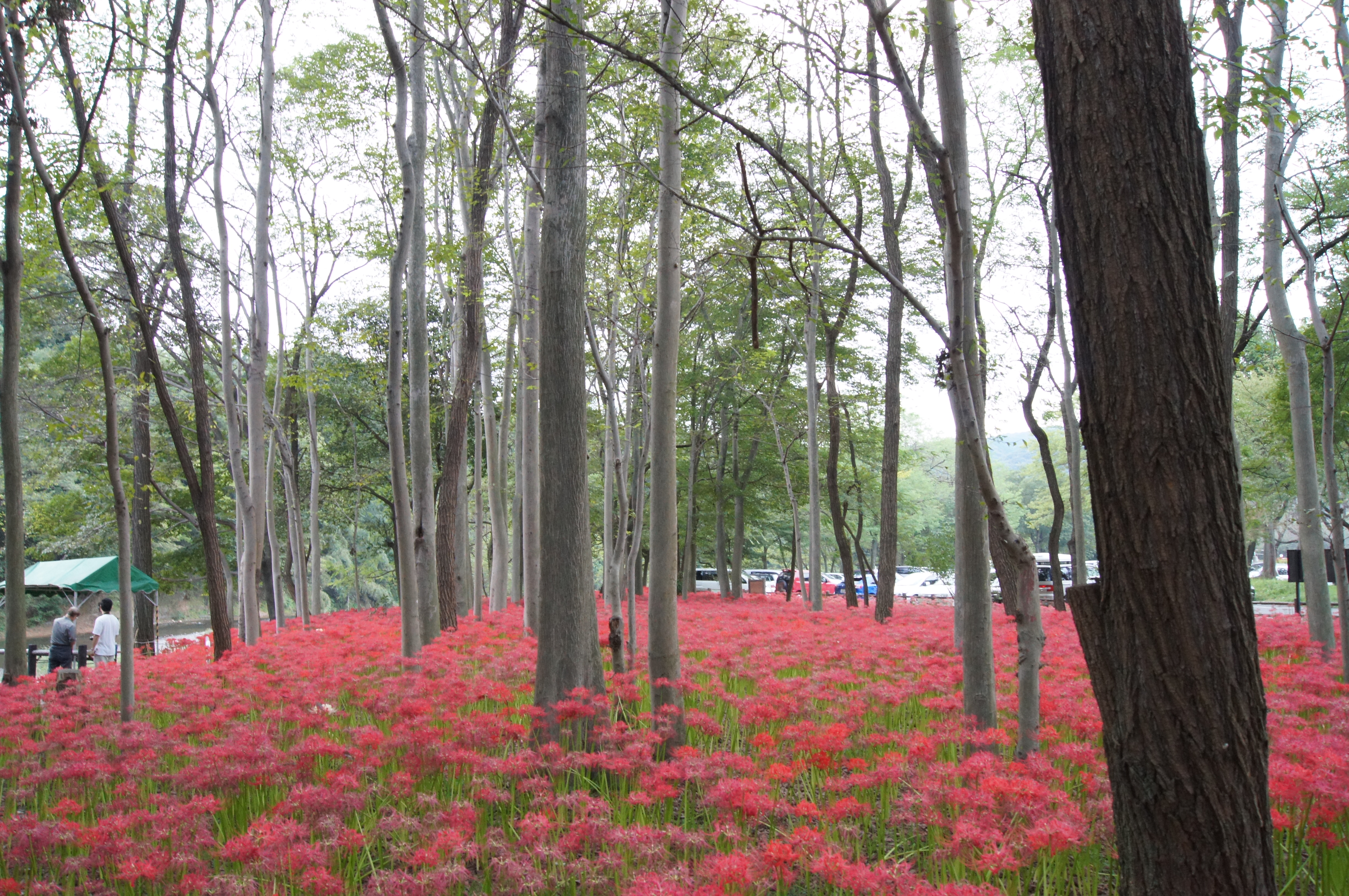
Equinox Flower 1

_DSC0779.jpg
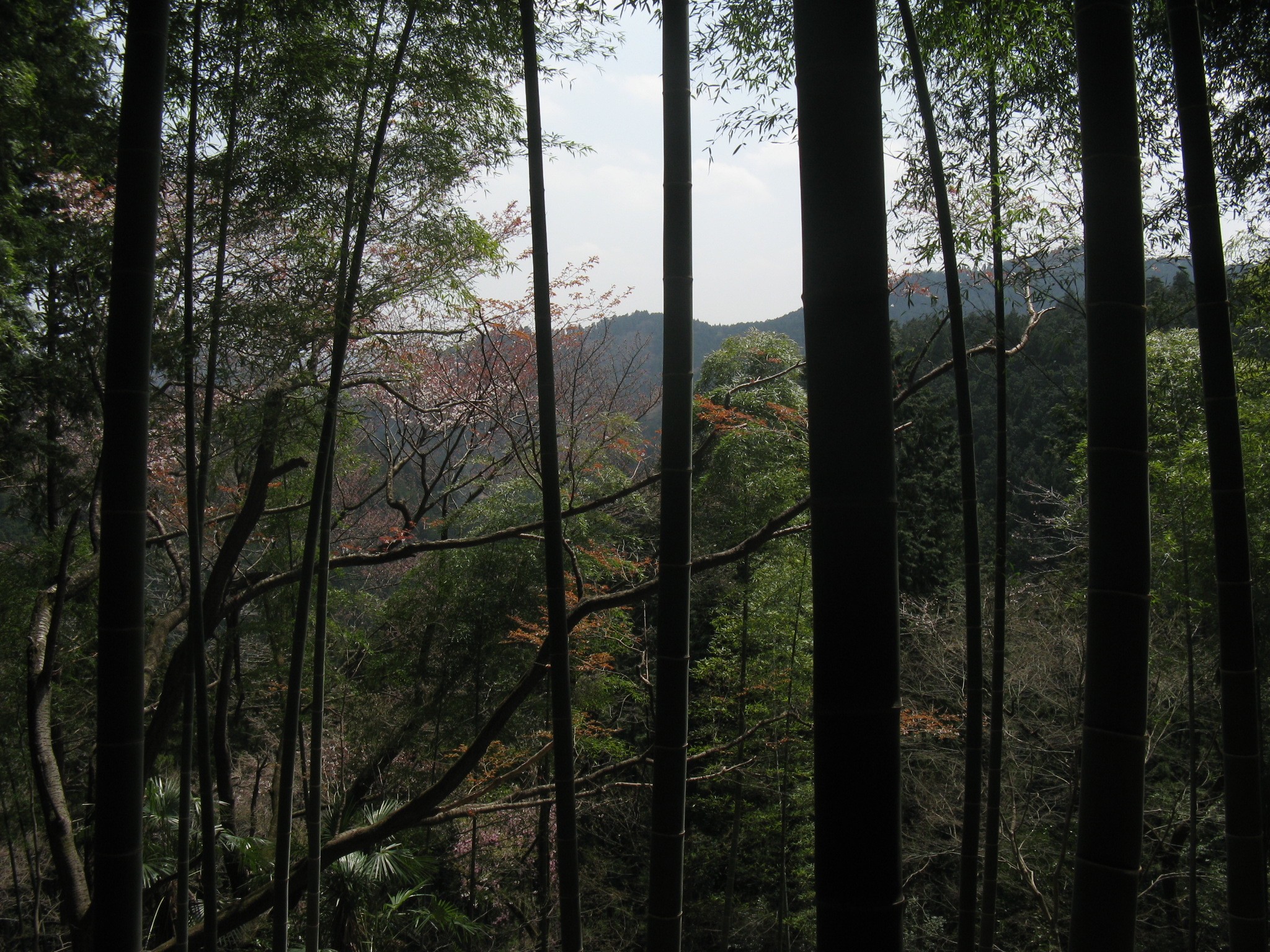
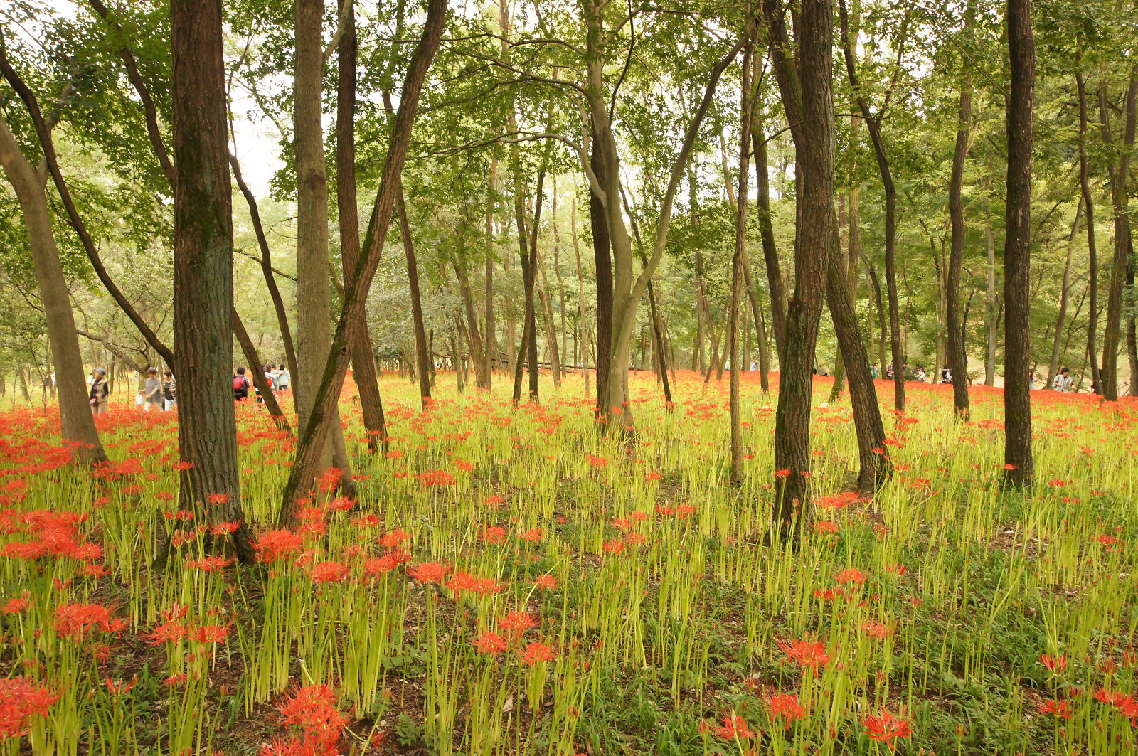
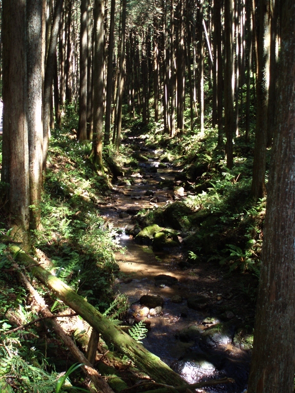
forest view
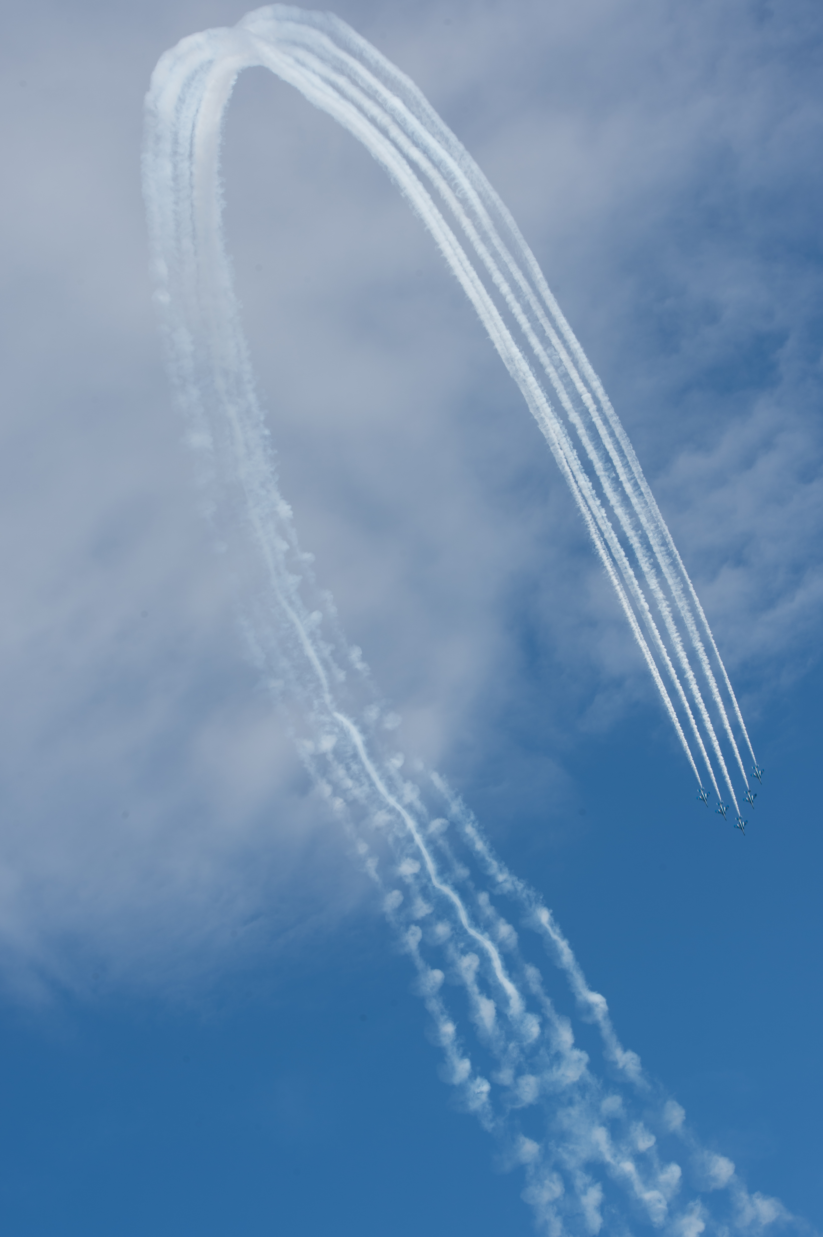
Air Show at Iruma Air Base 2012 - Blue Impulse
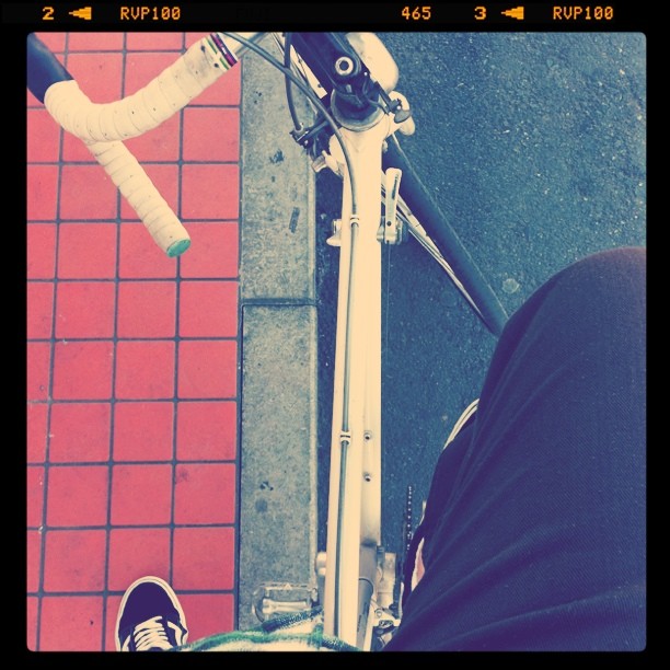
rider's view

full view
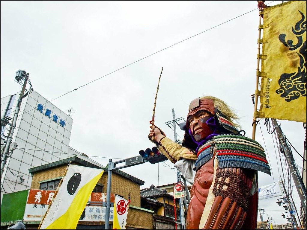
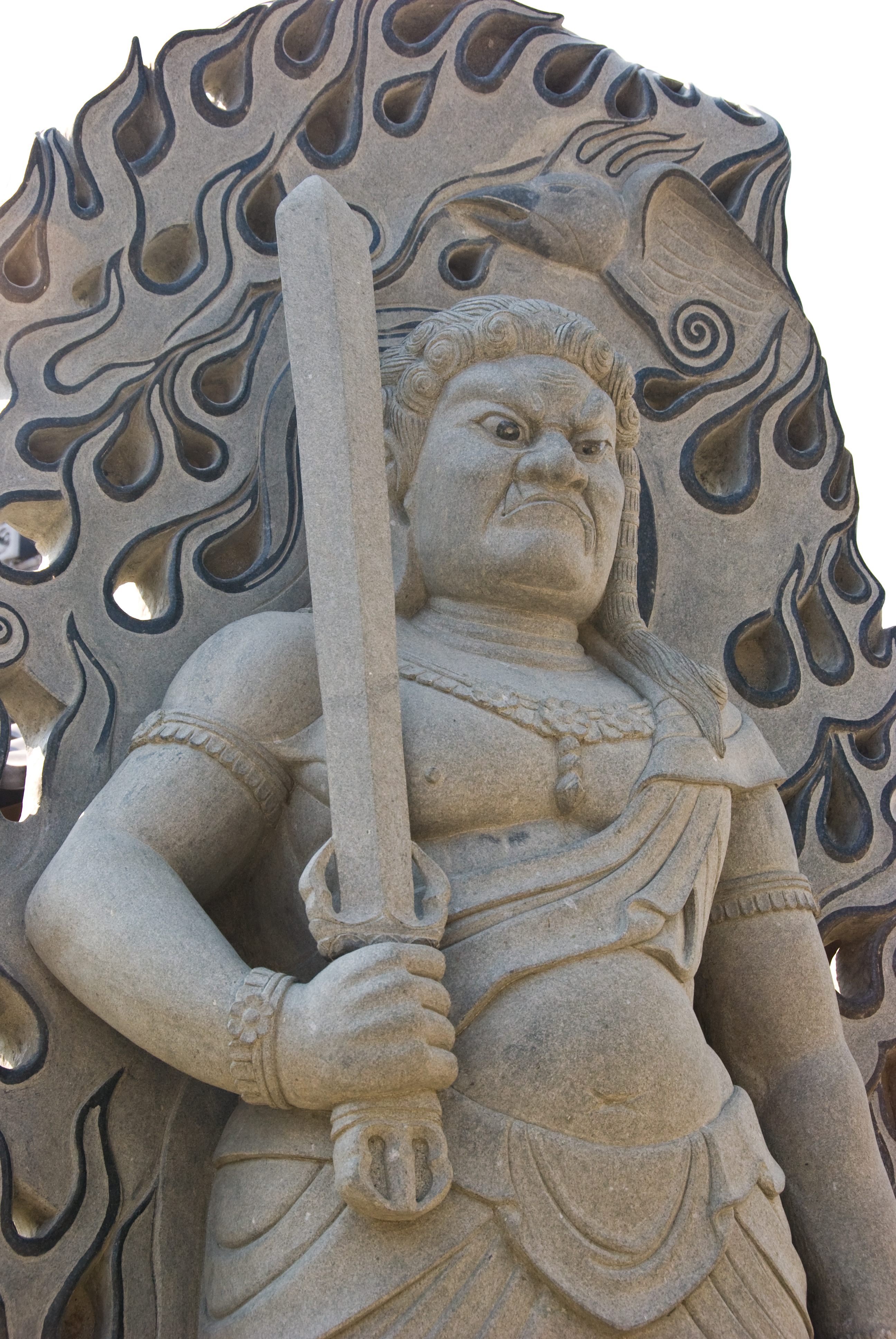
Lord Voldemort
_DSC0781.jpg
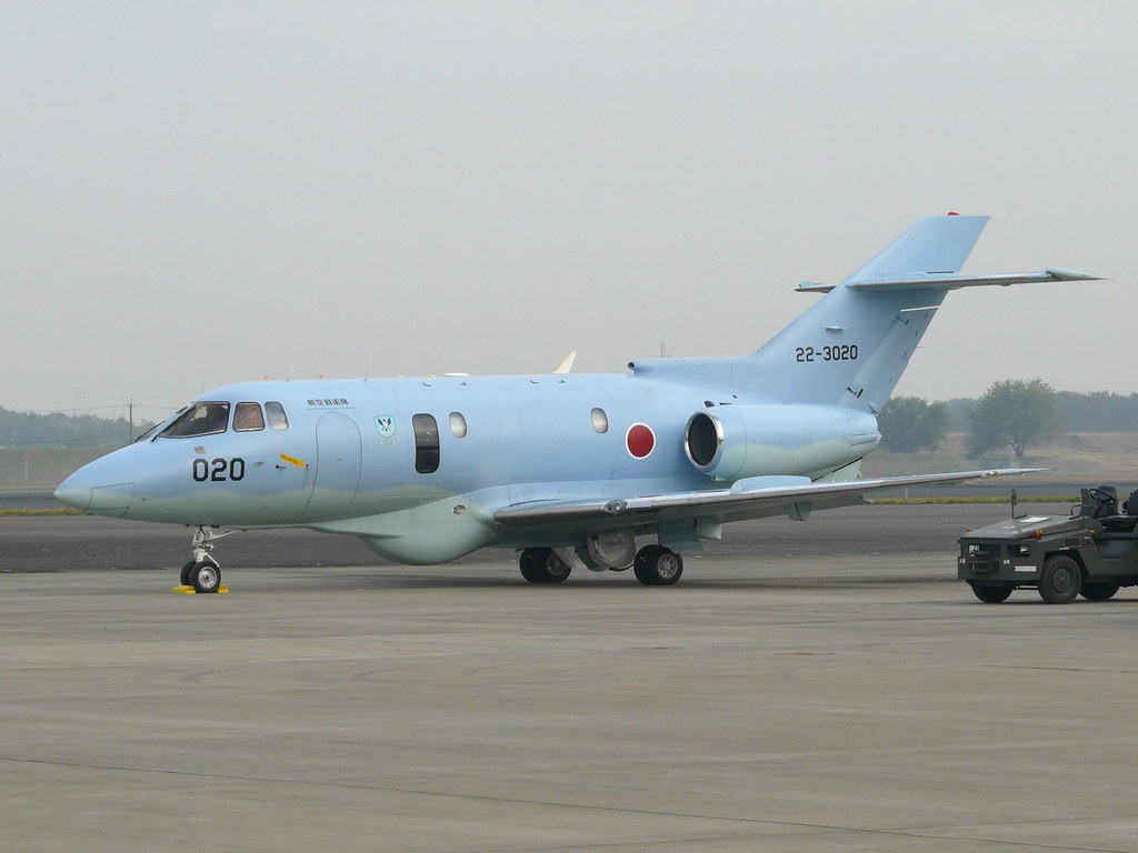
U-125 22-3020
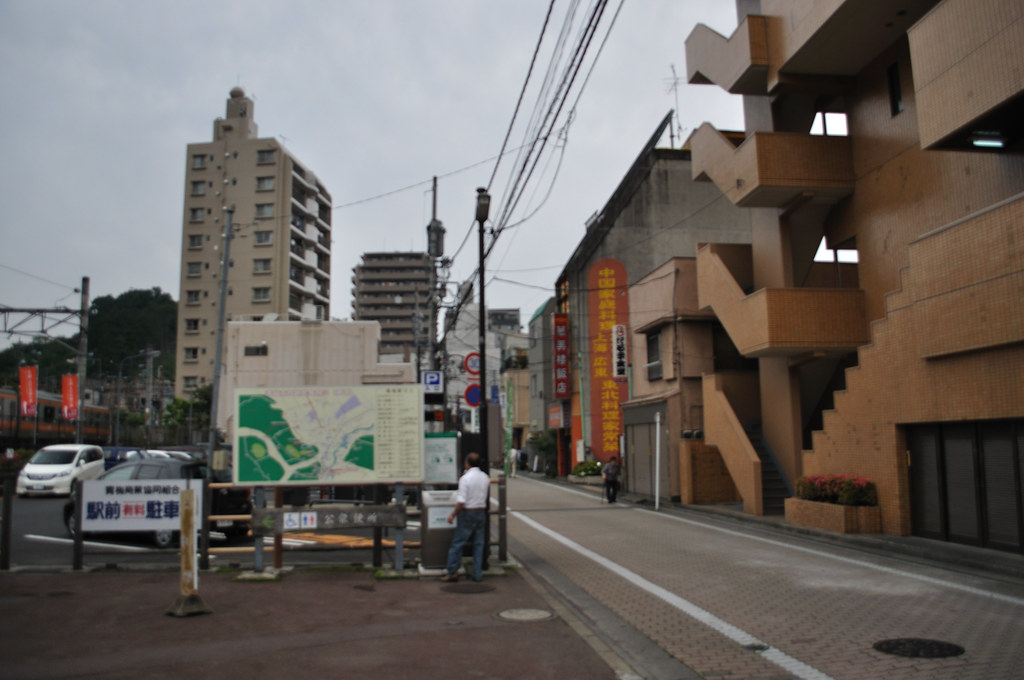
A Citry View Of Ome

View from the ardent fan
ome view
_DSC0763.jpg
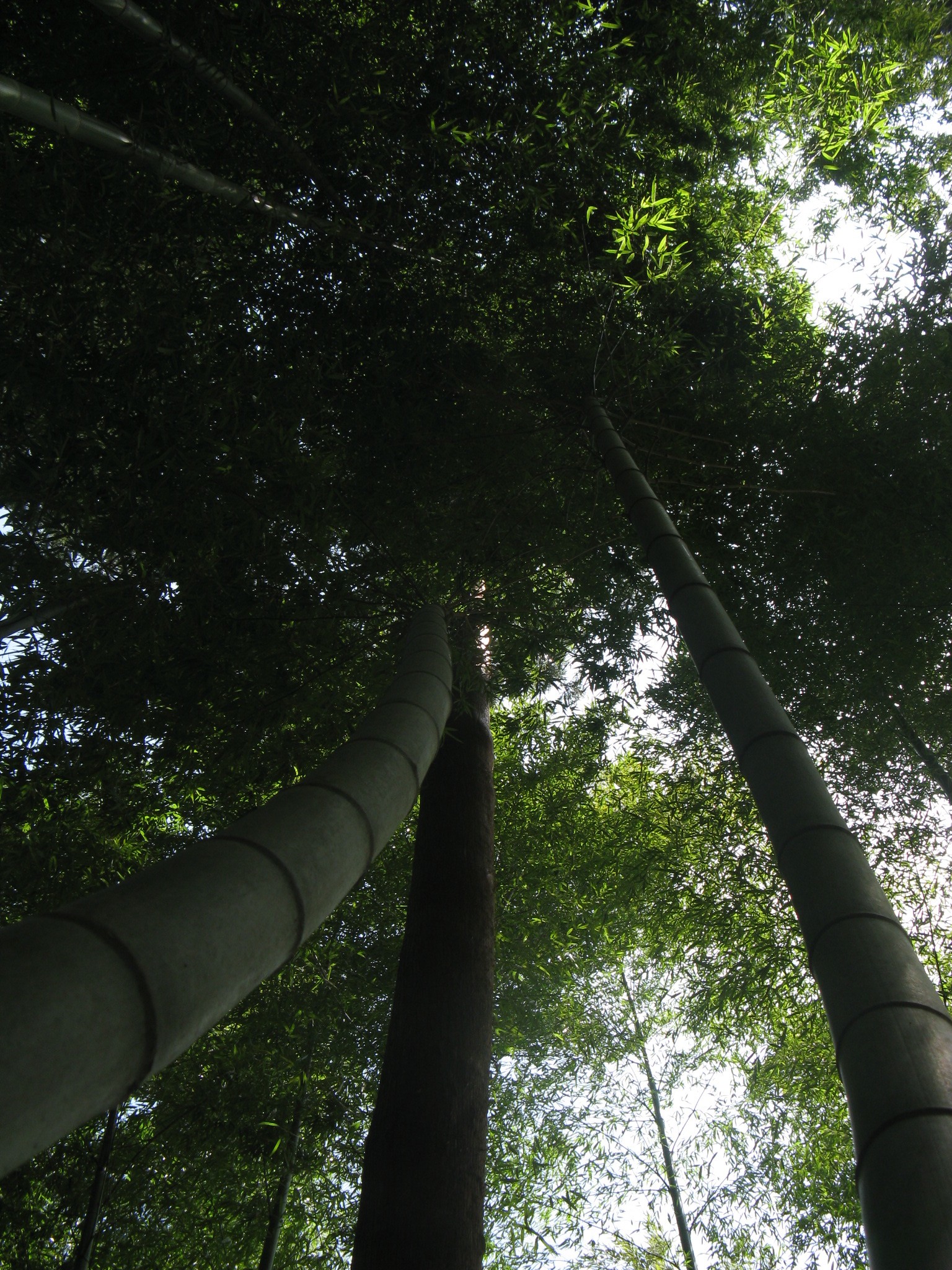
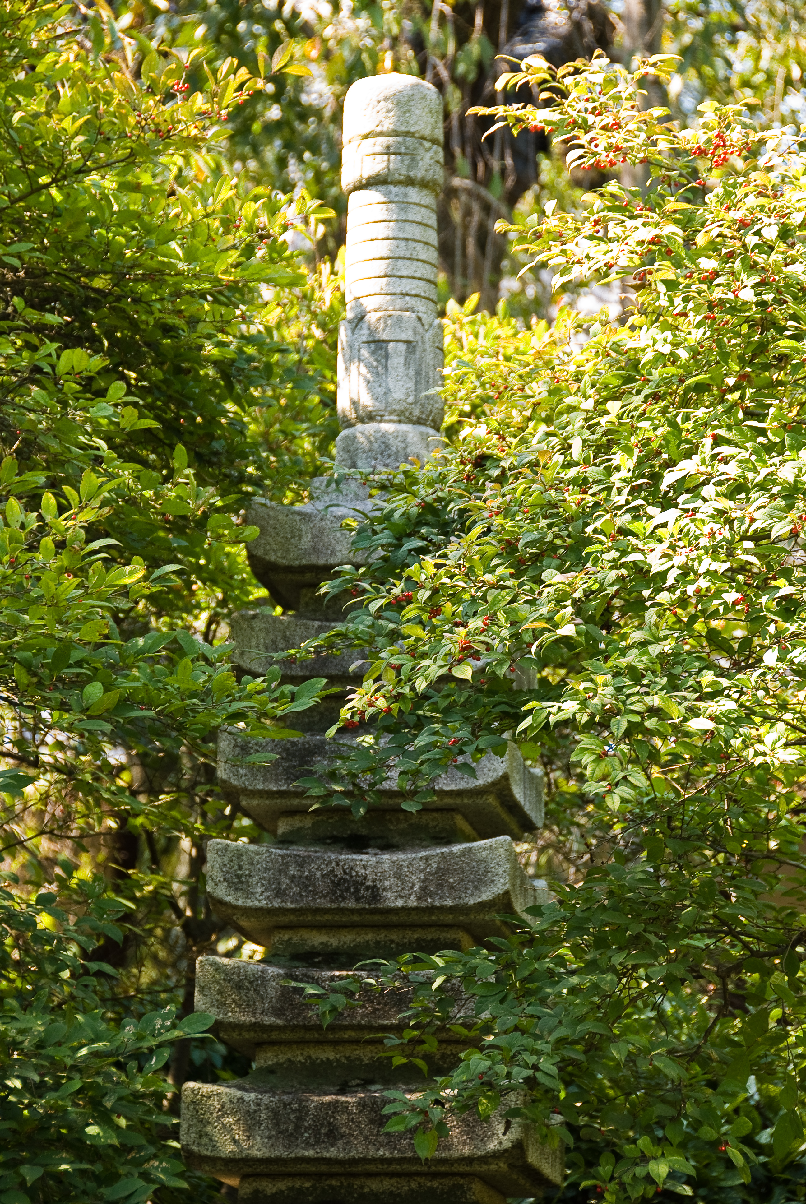
winding bamboo
_DSC0853.jpg
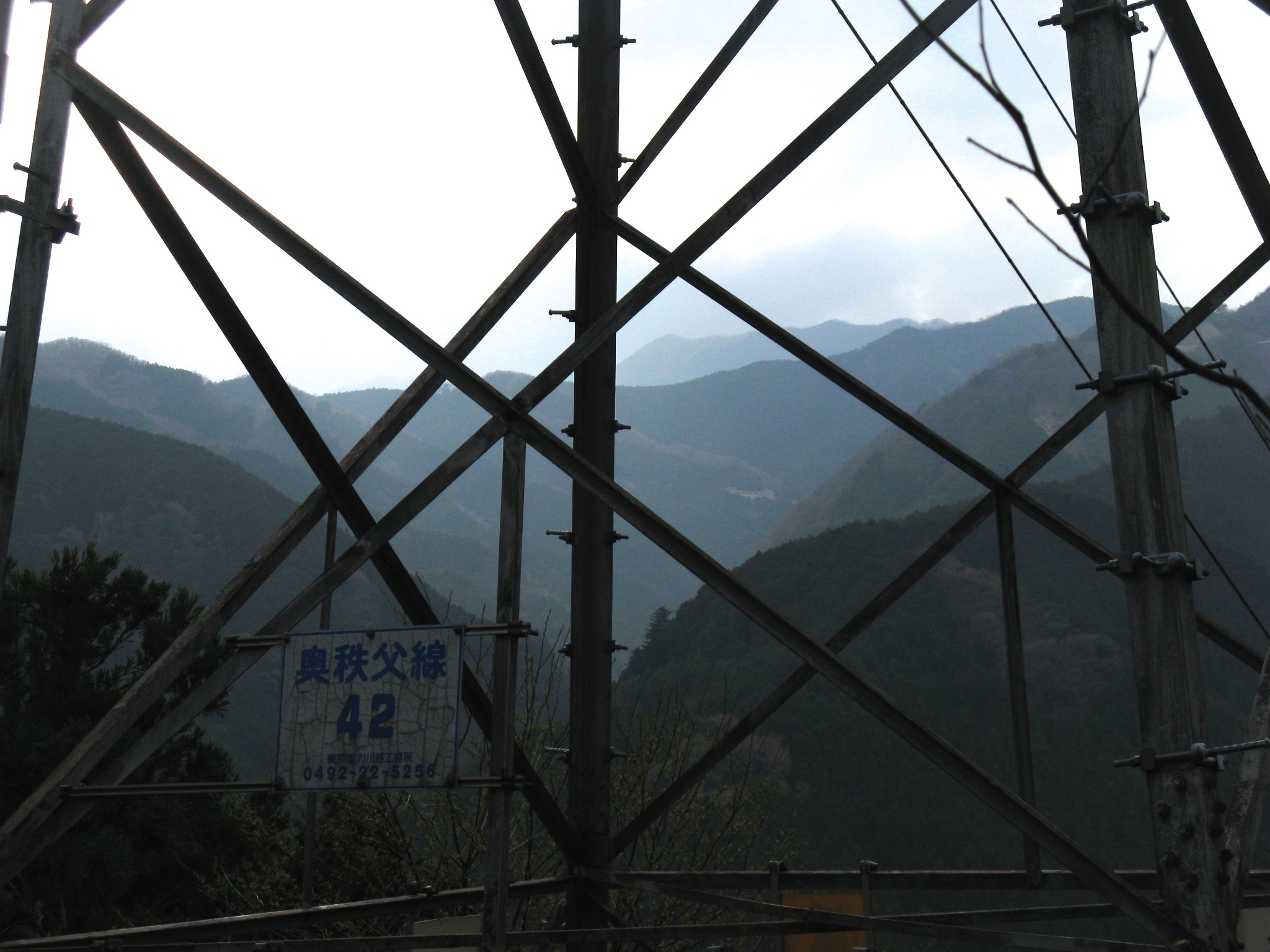
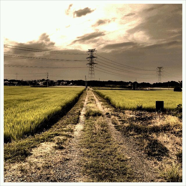
mountain view with power lines
_DSC0812.jpg
View from Oku-Musashi Green Line
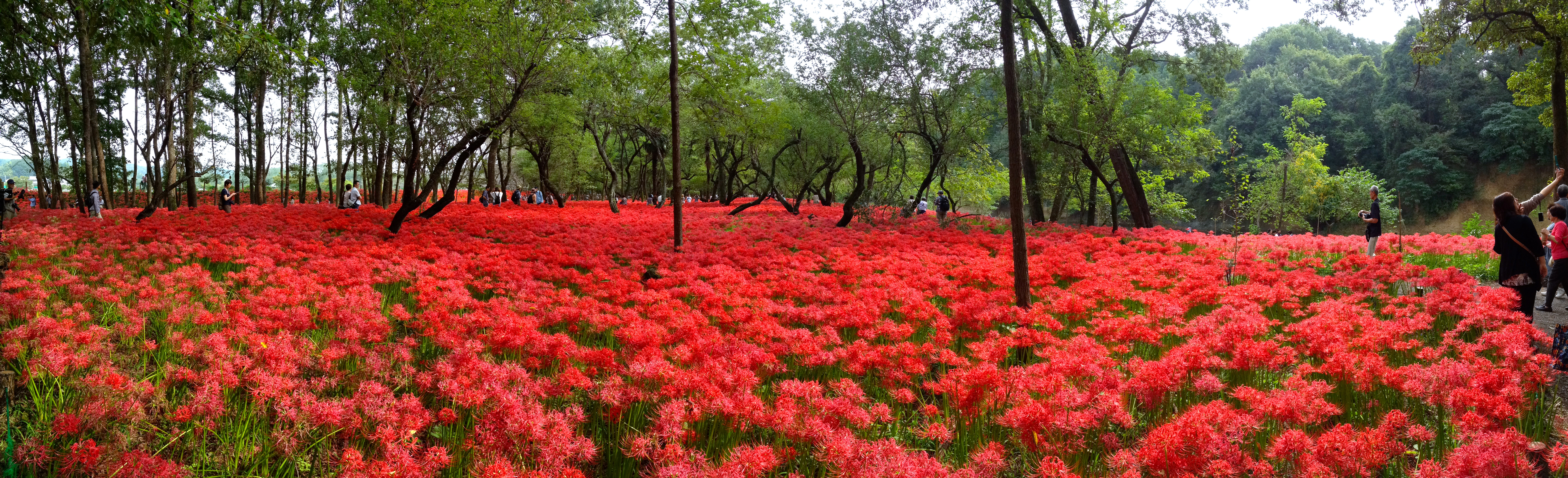
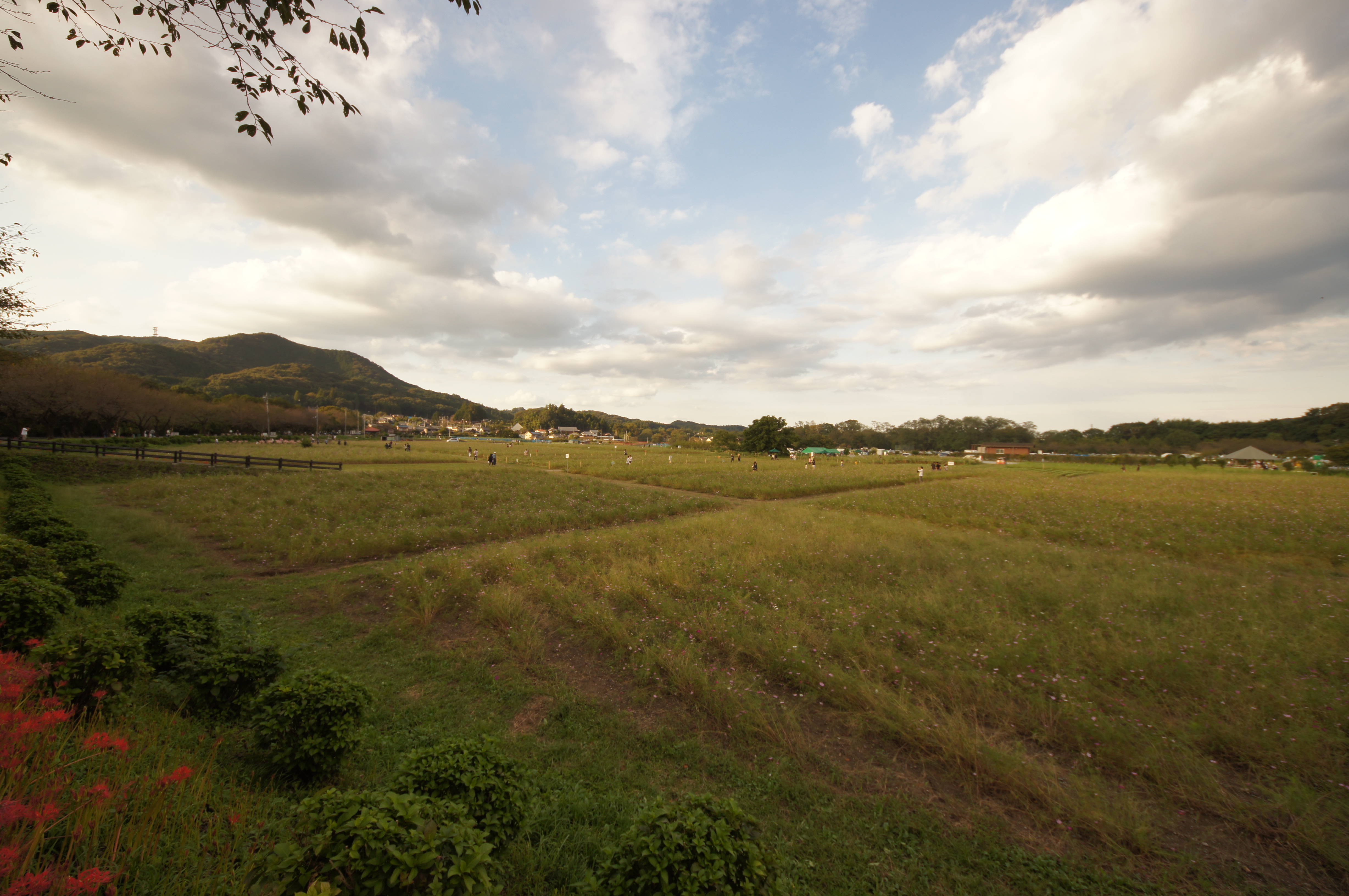
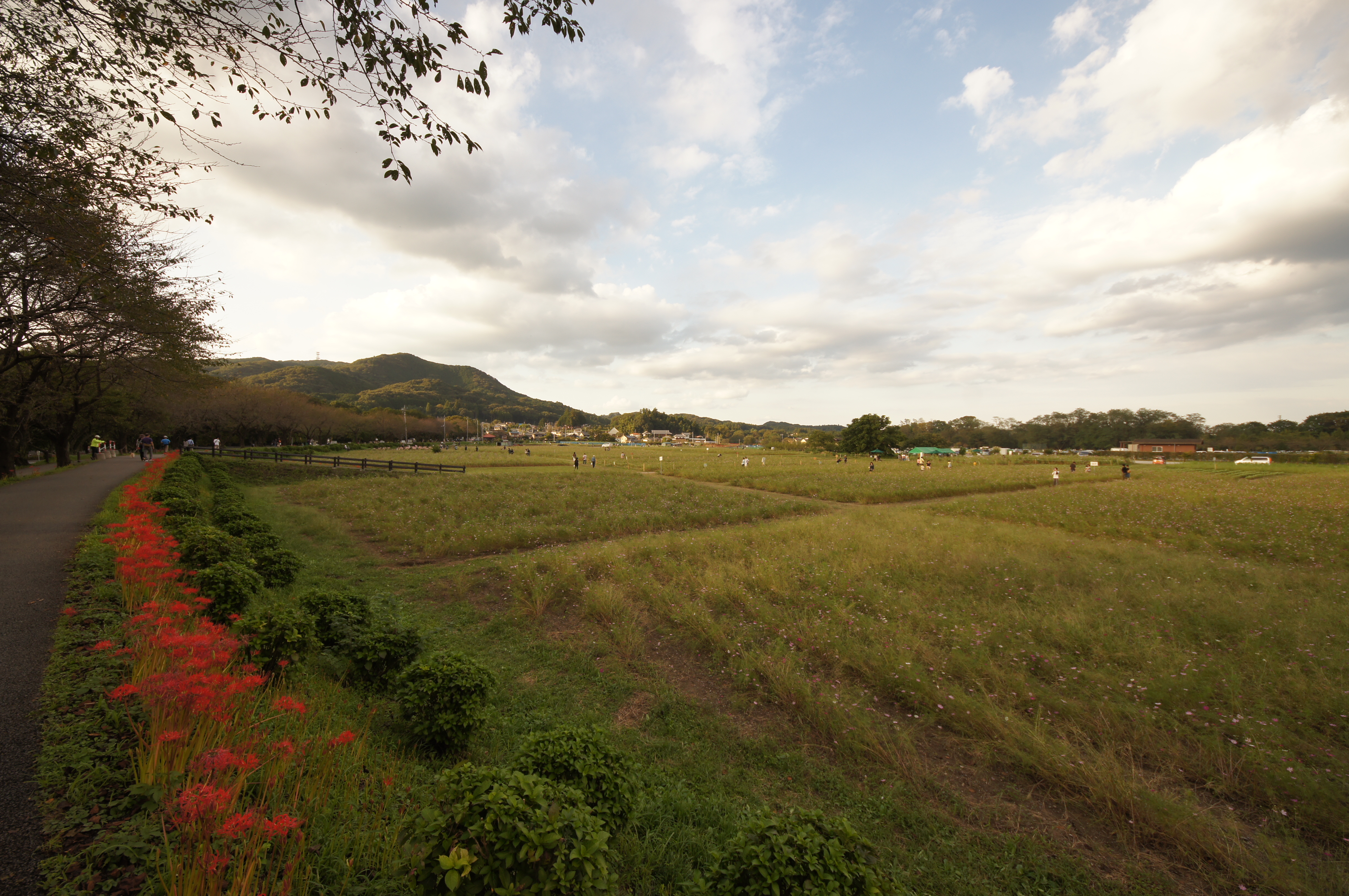
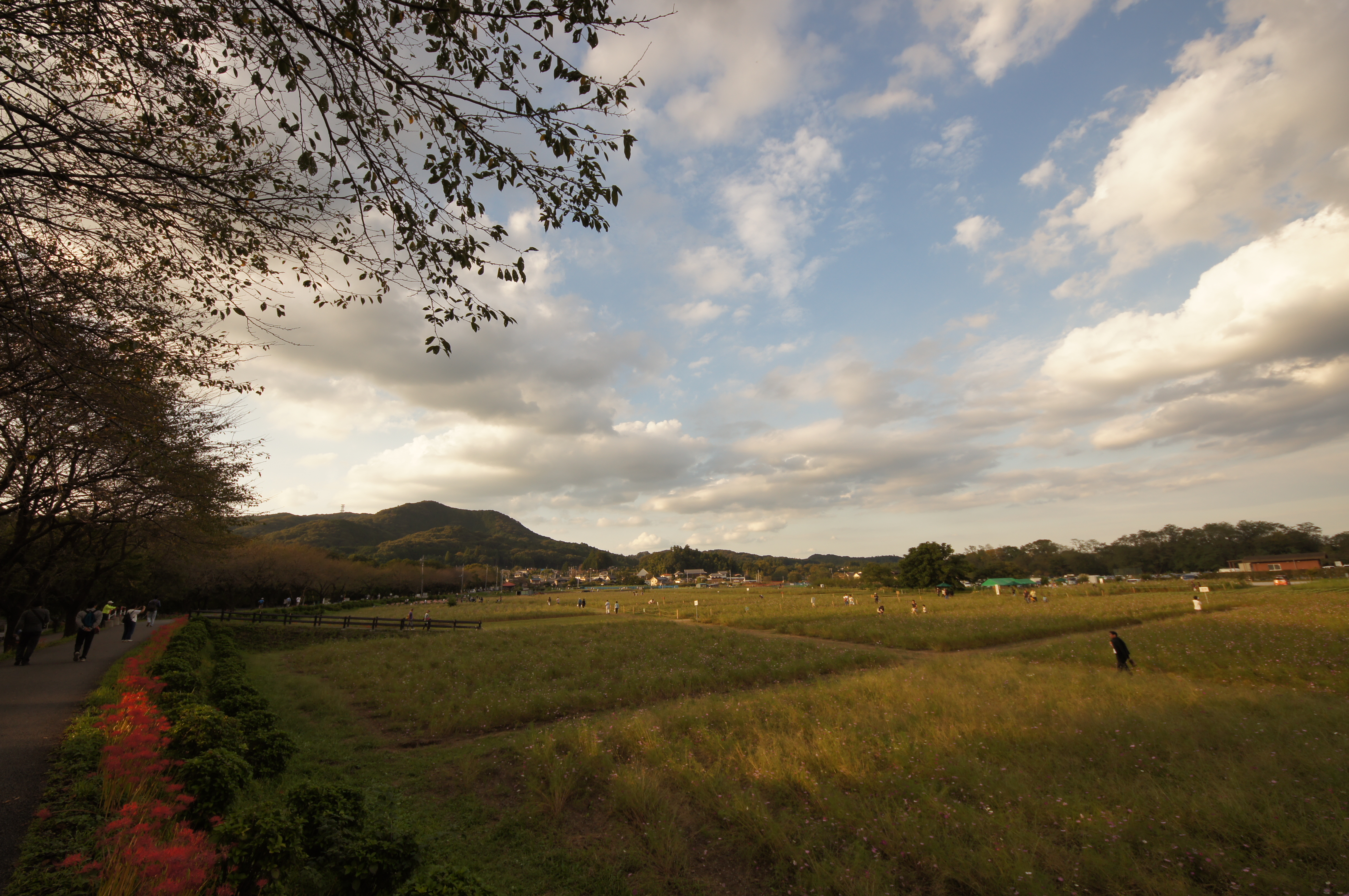
red panorama
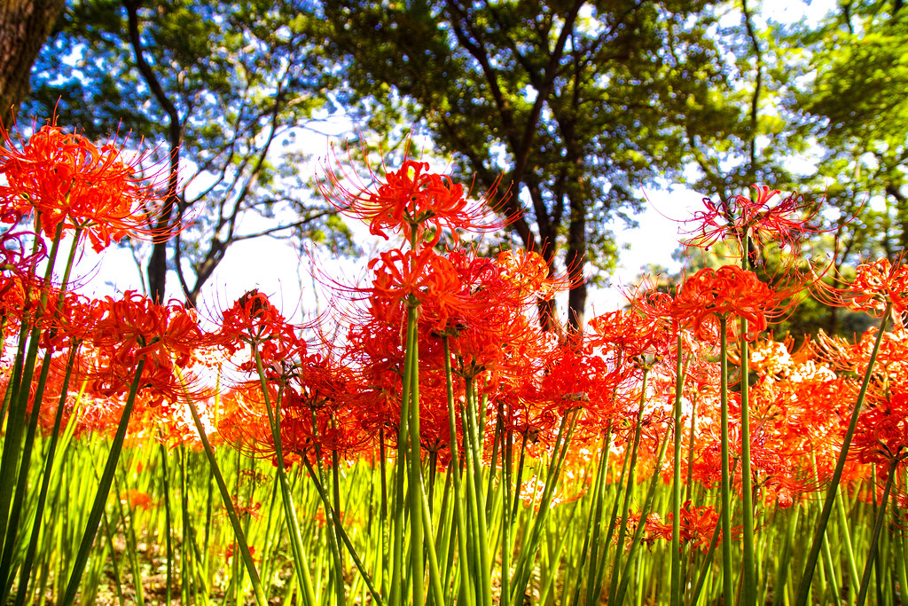
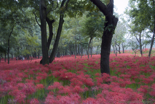
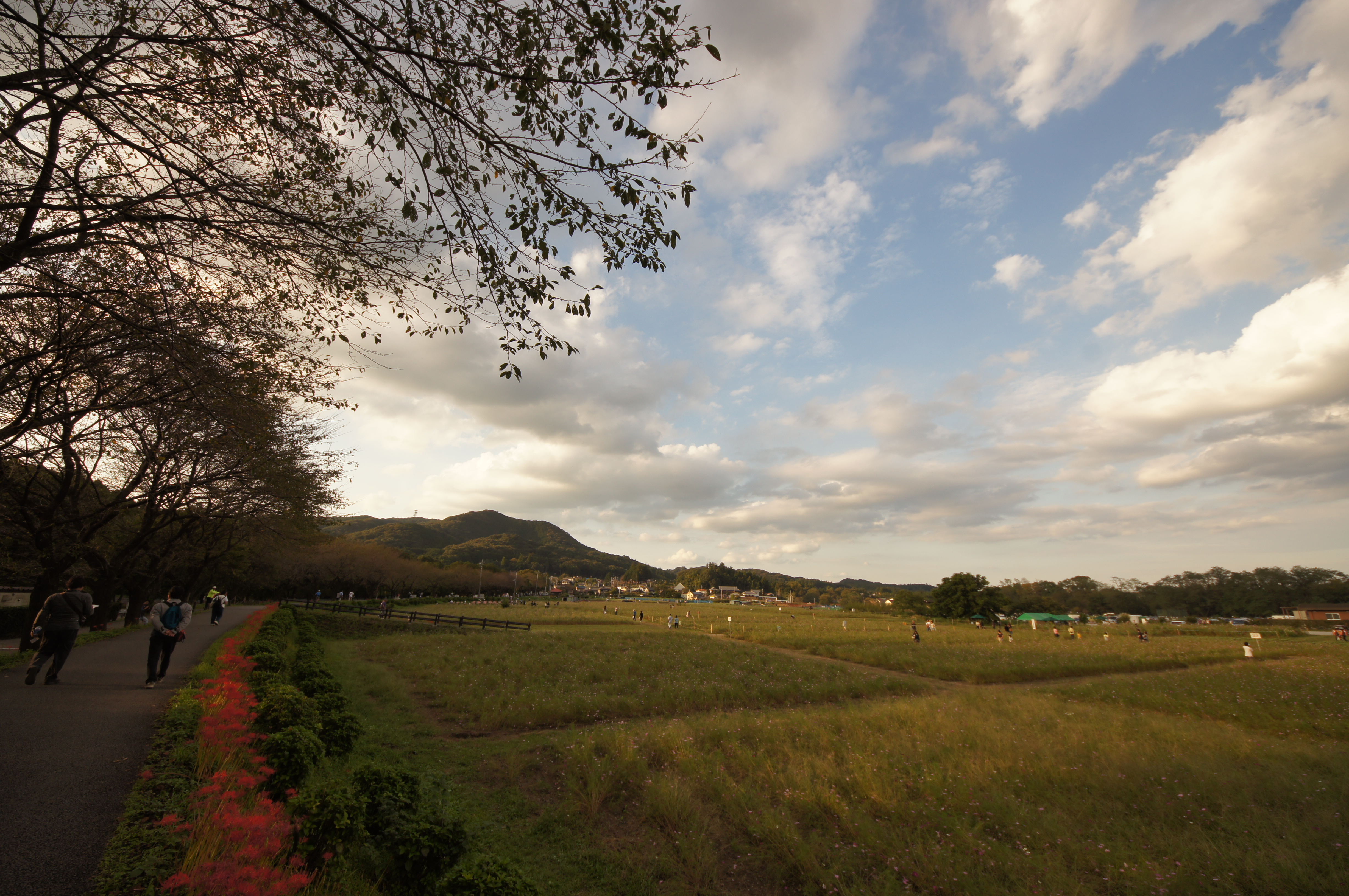
Red spider lily in the morning
GC Avenue ahead there.

此岸より彼岸へ至る
DSC08414.JPG
DSC08413.JPG
DSC08421.JPG
DSC08419.JPG
DSC08420.JPG
DSC08417.JPG
温泉入って飯食って。
DSC08409.JPG
DSC08416.JPG
Go!

おや、どなたか登山中に鍵を落とされませんでしたか?ご親切な方が分かりやすいように木の枝に引っ掛けてくださったようです。 #落し物 #多峯主山
DSC08418.JPG
杉の道
DSC08415.JPG
DSC01390.JPG
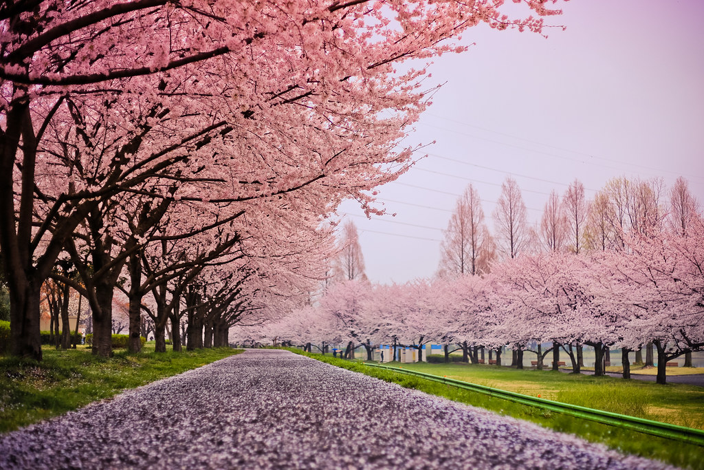
Cherry Blossom Snow
DSC01389.JPG
Topographic Map of Hidaka, Saitama Prefecture, Japan
Find elevation by address:

Places in Hidaka, Saitama Prefecture, Japan:
Places near Hidaka, Saitama Prefecture, Japan:
Asahigaoka, Hidaka-shi, Saitama-ken -, Japan
55 Komahongō, Hidaka-shi, Saitama-ken -, Japan
Ōyagi, Moroyama-machi, Iruma-gun, Saitama-ken -, Japan
Moroyama
Iruma District
Shimoshinden
Tsurugashima
27-11 Sankōchō, Sakado-shi, Saitama-ken -, Japan
Ogose
Hatoyama
Sakado
Kumai, Hatoyama-machi, Hiki-gun, Saitama-ken -, Japan
1 Chome-11 Chiyoda
12-12 Ashiyamachō, Sakado-shi, Saitama-ken -, Japan
Daima, Ogose-machi, Iruma-gun, Saitama-ken -, Japan
-4 Ishii, Sakado-shi, Saitama-ken -, Japan
1 Chome-10-1 Shinsayama
Tokigawa
Kamagata, Ranzan-machi, Hiki-gun, Saitama-ken -, Japan
Hiki-gun
Recent Searches:
- Elevation of Unnamed Road, Respublika Severnaya Osetiya — Alaniya, Russia
- Elevation of Verkhny Fiagdon, North Ossetia–Alania Republic, Russia
- Elevation of F. Viola Hiway, San Rafael, Bulacan, Philippines
- Elevation of Herbage Dr, Gulfport, MS, USA
- Elevation of Lilac Cir, Haldimand, ON N3W 2G9, Canada
- Elevation of Harrod Branch Road, Harrod Branch Rd, Kentucky, USA
- Elevation of Wyndham Grand Barbados Sam Lords Castle All Inclusive Resort, End of Belair Road, Long Bay, Bridgetown Barbados
- Elevation of Iga Trl, Maggie Valley, NC, USA
- Elevation of N Co Rd 31D, Loveland, CO, USA
- Elevation of Lindever Ln, Palmetto, FL, USA