Elevation of Hickory Hill Rd, Pawhuska, OK, USA
Location: United States > Oklahoma >
Longitude: -96.109882
Latitude: 36.9465251
Elevation: 248m / 814feet
Barometric Pressure: 98KPa
Elevation Map:
Satellite Map:
Related Photos:

Aerial view of Nazca lines
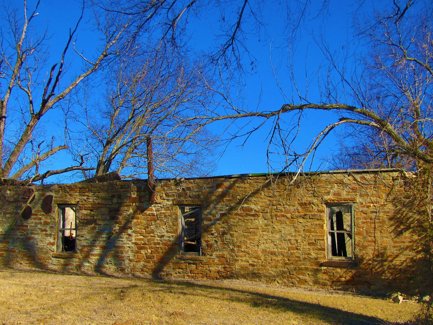
Sandstone ruin in Chatauqua

Screen Doors
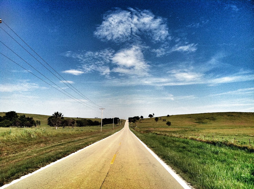
Drive. Hwy 10, Copan, OK

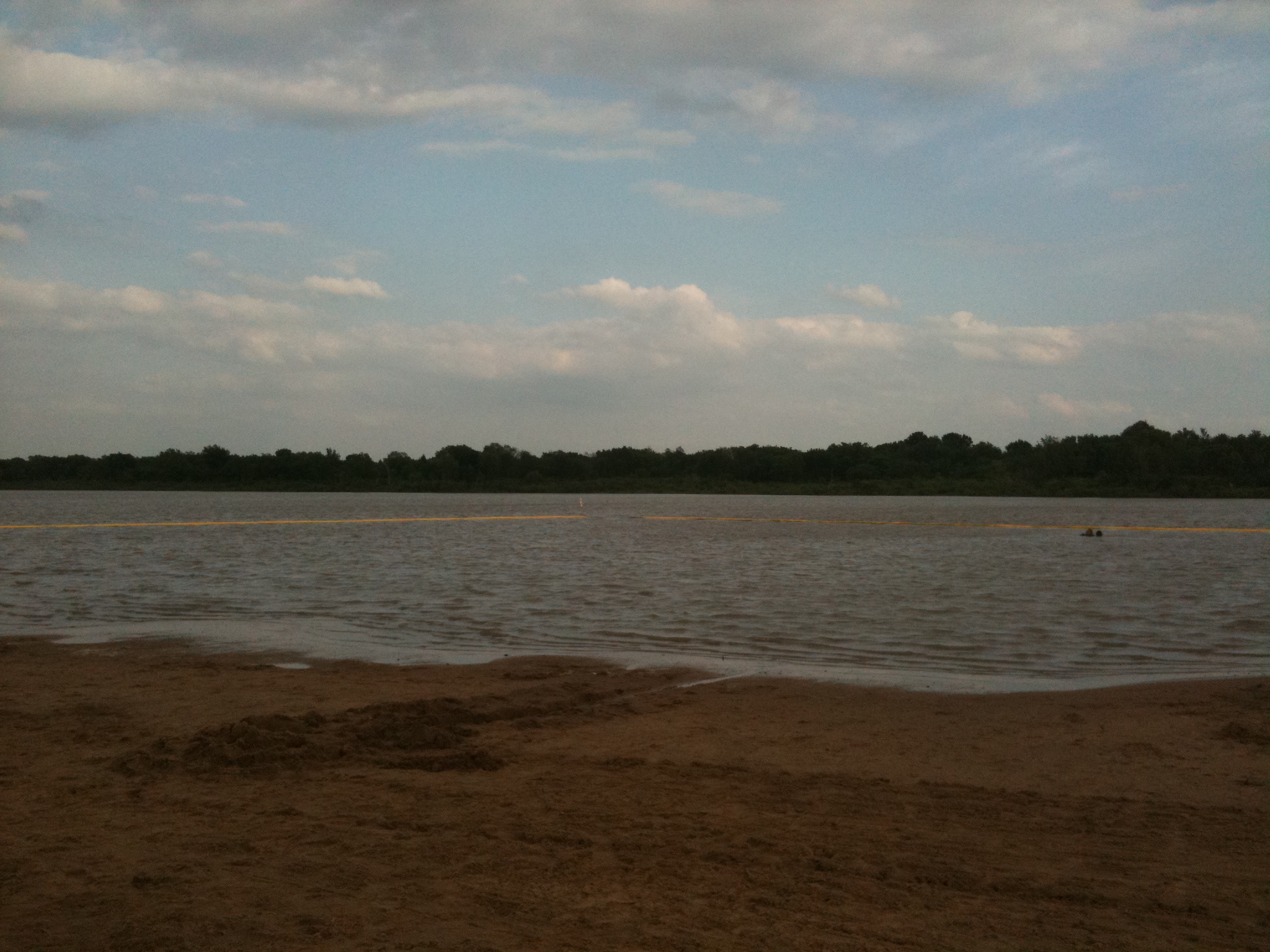
Hulah Lake

Hulah Lake
No Place Like Home, #2
Summa scene
No Place Like Home
Topographic Map of Hickory Hill Rd, Pawhuska, OK, USA
Find elevation by address:

Places near Hickory Hill Rd, Pawhuska, OK, USA:
Whippoorwill
Cotton-coon-mission Creek Site 4 Reservoir
Artillery Mountain
Niotaze
Lake Creek
Spears Mfg.
Wood Street Hardware
Caney
Kiels Place Away To Dream Of Janine
Copan
113 S Gertrude Ave
E Main St, Sedan, KS, USA
Caney Valley High School
Sunset Lake
Spring Creek Home & Rv Park
Highway 75 Liquor Store
Osu Cooperative Extension Services
Western Union
Sunrise Donuts
Keystone-beard Equipment Co
Recent Searches:
- Elevation of Corso Fratelli Cairoli, 35, Macerata MC, Italy
- Elevation of Tallevast Rd, Sarasota, FL, USA
- Elevation of 4th St E, Sonoma, CA, USA
- Elevation of Black Hollow Rd, Pennsdale, PA, USA
- Elevation of Oakland Ave, Williamsport, PA, USA
- Elevation of Pedrógão Grande, Portugal
- Elevation of Klee Dr, Martinsburg, WV, USA
- Elevation of Via Roma, Pieranica CR, Italy
- Elevation of Tavkvetili Mountain, Georgia
- Elevation of Hartfords Bluff Cir, Mt Pleasant, SC, USA