Elevation of Hiawatha Trail, Waterloo, WI, USA
Location: United States > Wisconsin > Jefferson County >
Longitude: -88.995708
Latitude: 43.1914714
Elevation: 269m / 883feet
Barometric Pressure: 98KPa
Elevation Map:
Satellite Map:
Related Photos:
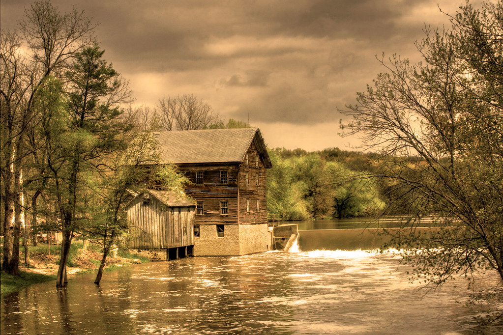
springtime at the mill, Danville, WI
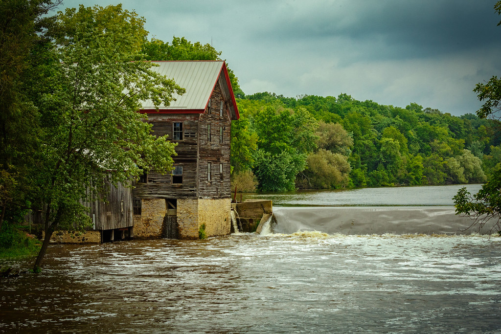
Jaeger Rye Mill (1854) / Danville Dam
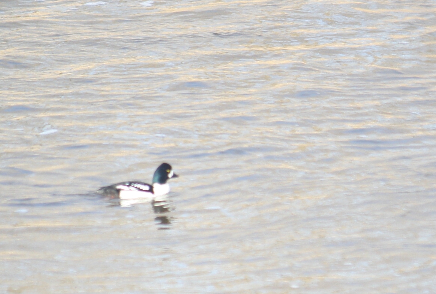
Barrow's Goldeneye
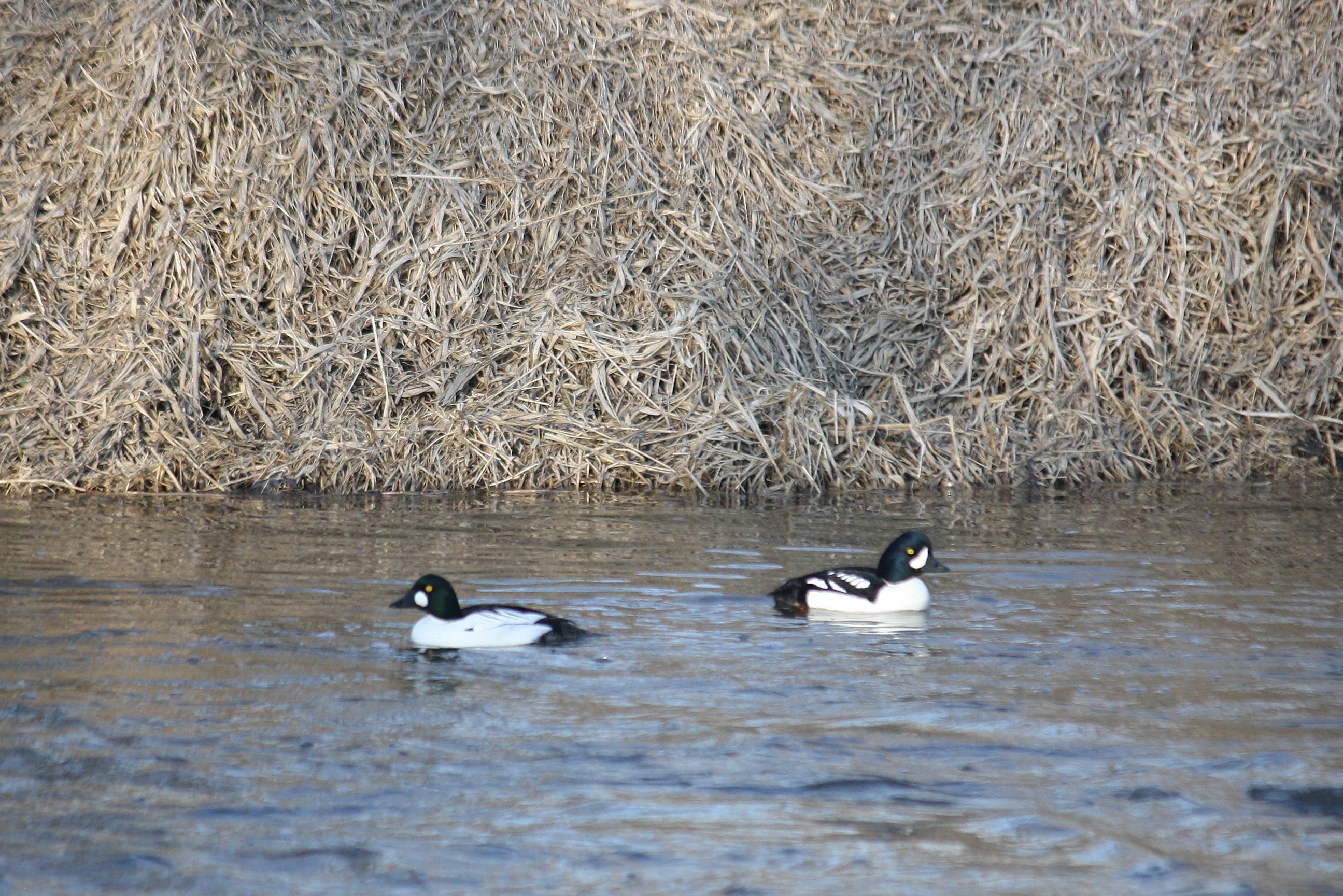
Common and Barrow's Goldeneye Pair

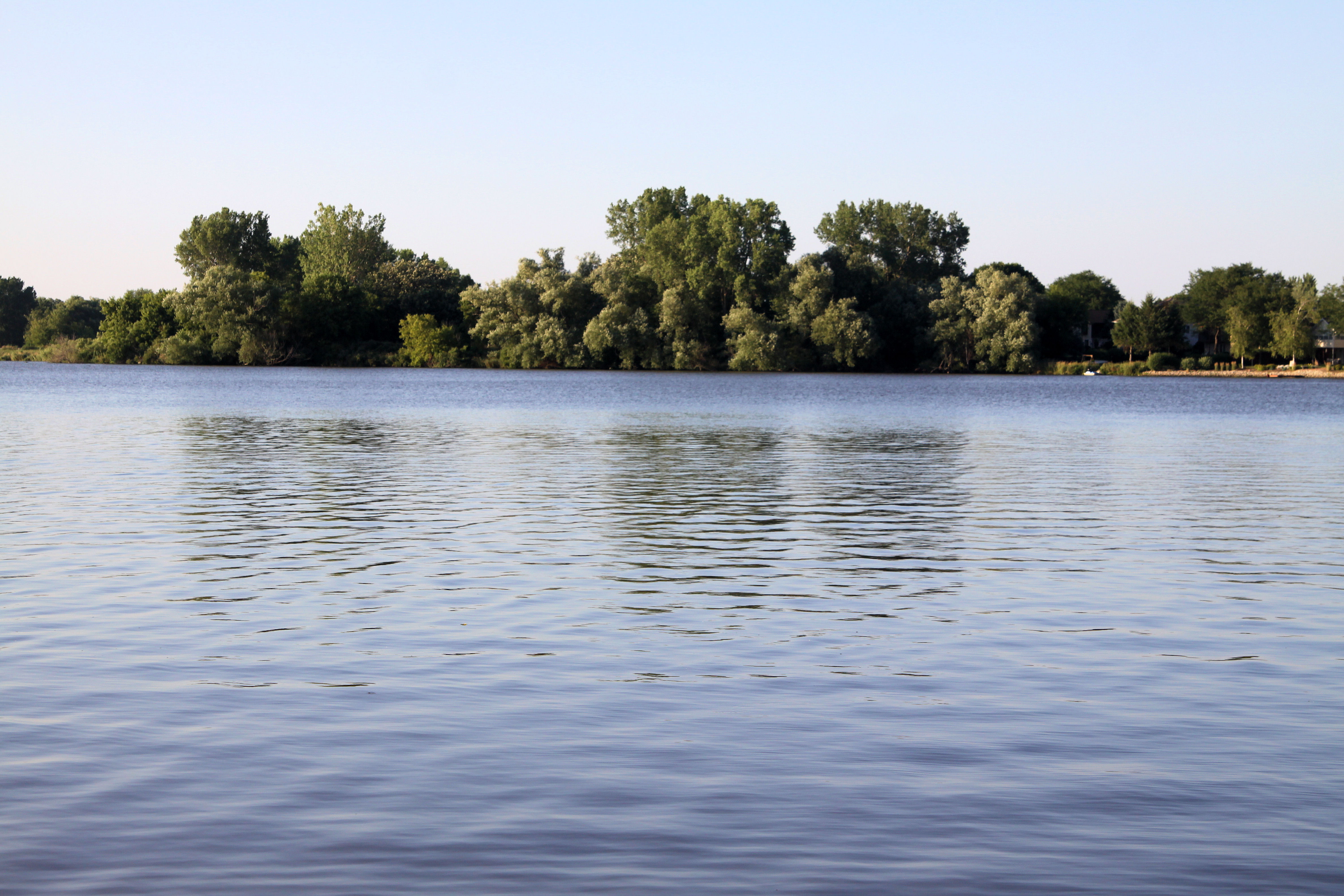
Rock Lake
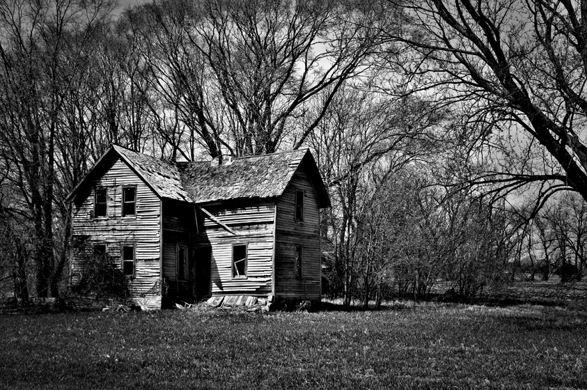
Revisiting the Past
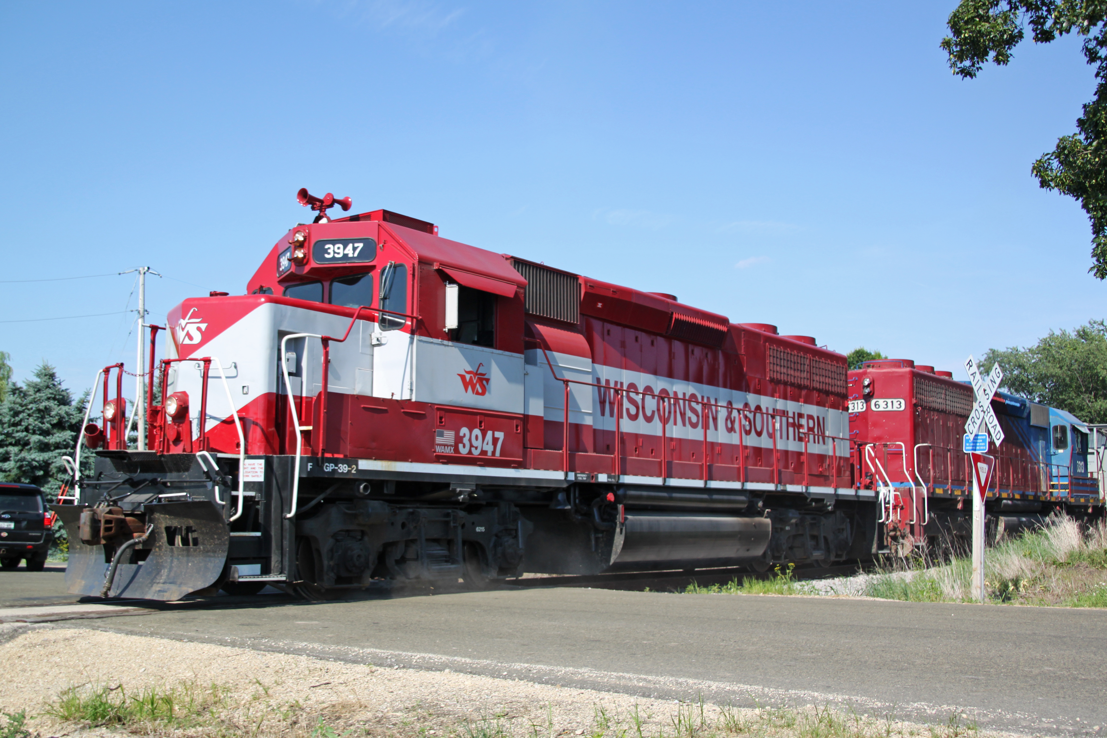
Wider view of this attractive EMD duo kicking up dust as it crosses Twin Lane Road
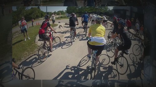
2012 Trek 100
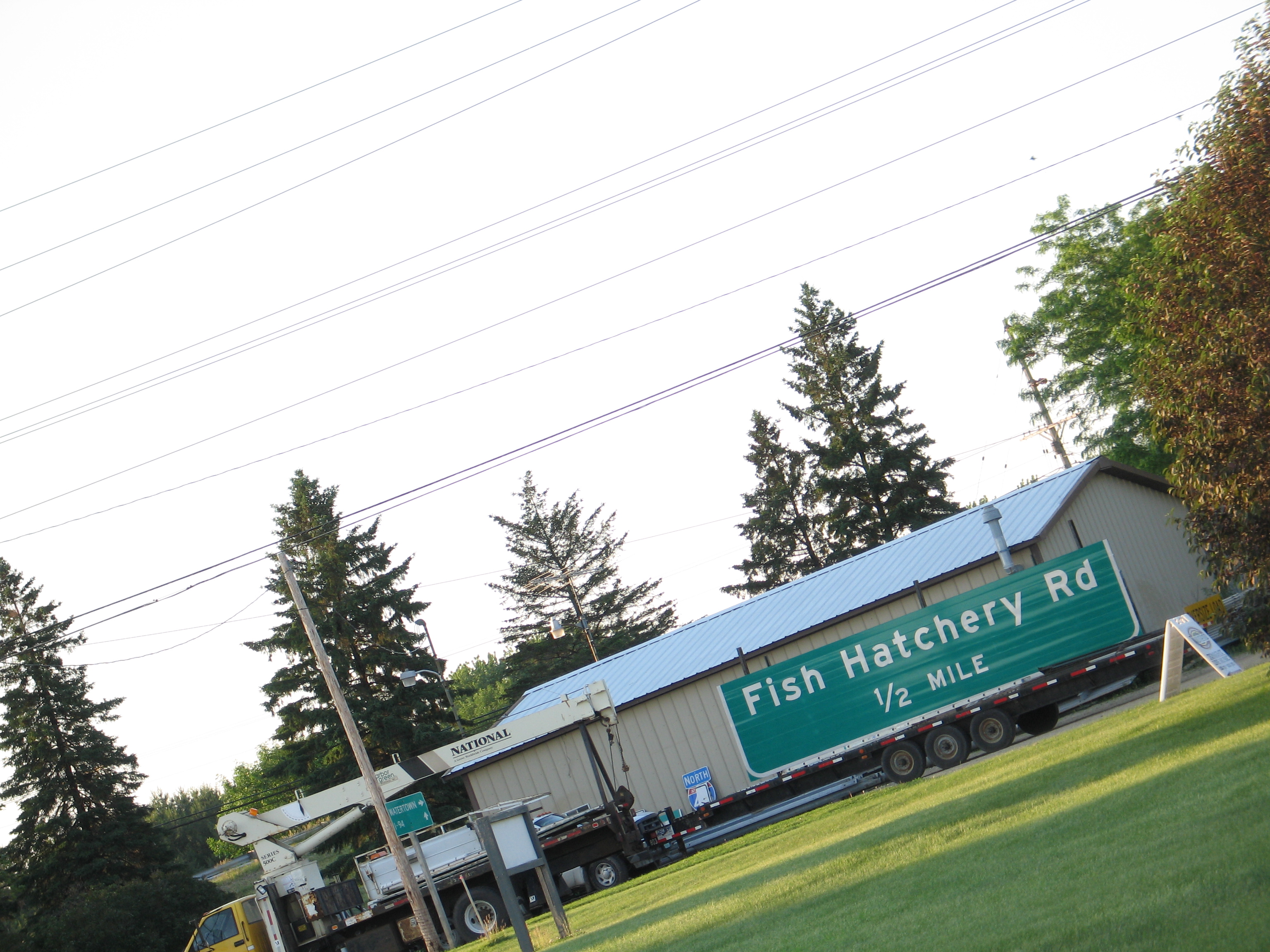
IMG_4144.JPG

Waterloo park view
Waterloo park view
8.21.15 Columbus 151 - final view

Trinity with GE wind turbine base

Weekend Ballast Run
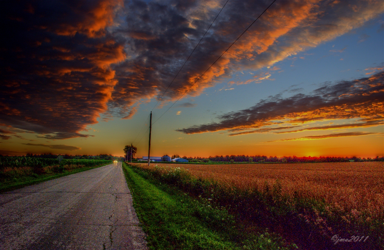
SUNSET IN THE COUNTRY
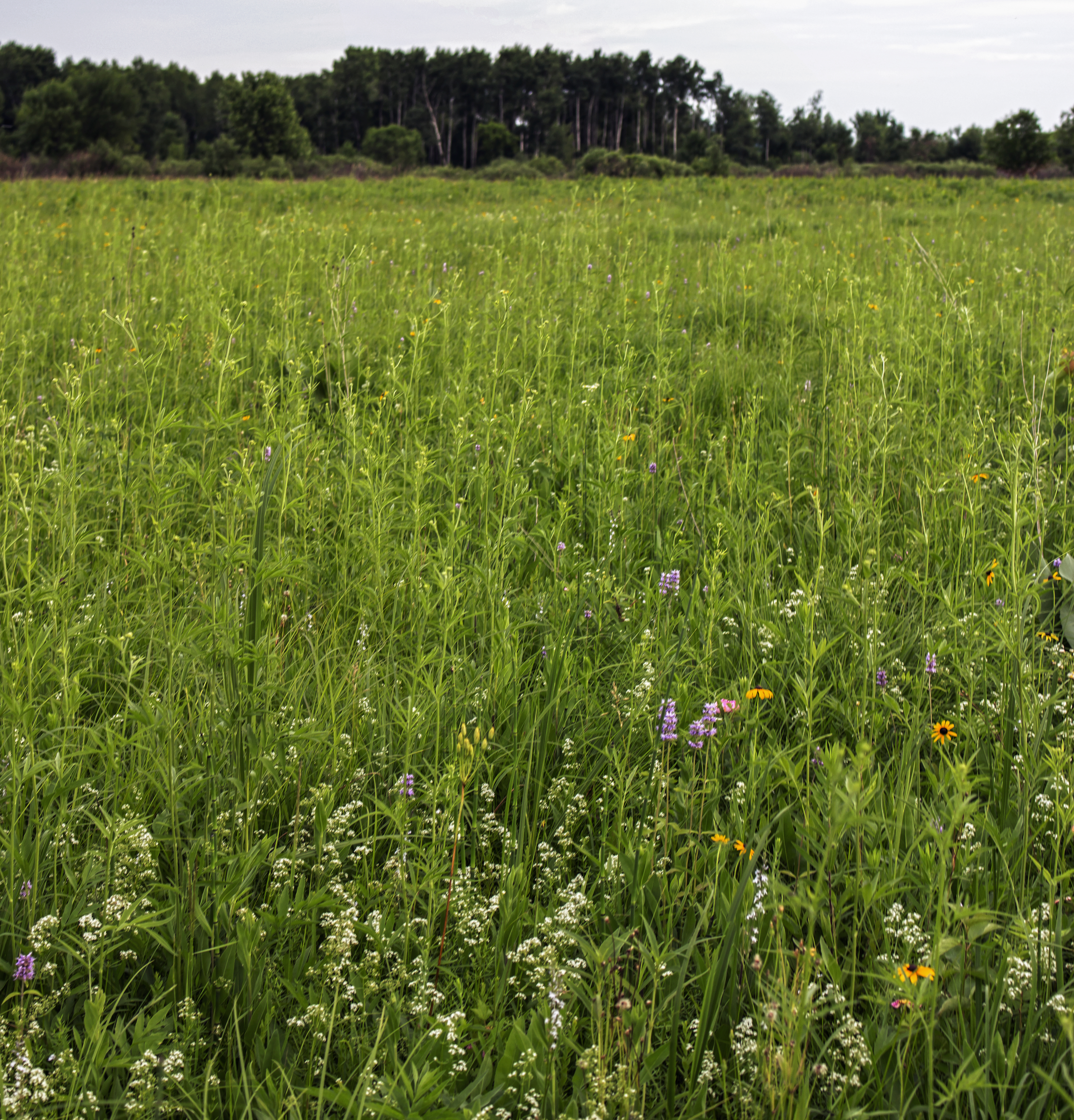
Snapper Prairie State Natural Area

Crossing the Crawfish River #kimberlyreneephotography #glacialdrumlintrail #crawfishriver #wisconsin #wisconsinsummer #bridge #trail #biketrail #biking #hiking #statetrail #crossingthebridge #bridges #landscape #landscapes #landscapelovers #landscape_love
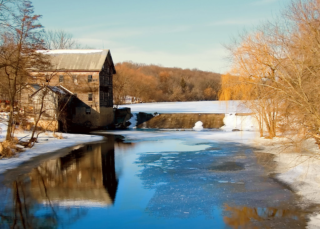
Danville Mill Pond

Tattered Hoop
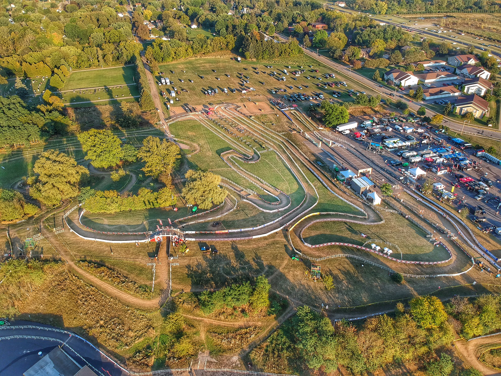
The aftermath. The clean-up begins. #WorldCupWaterloo #cyclocross #trekcxcup #cycling #TrekHQ #CX #picturefromabove #aerialshot #drone

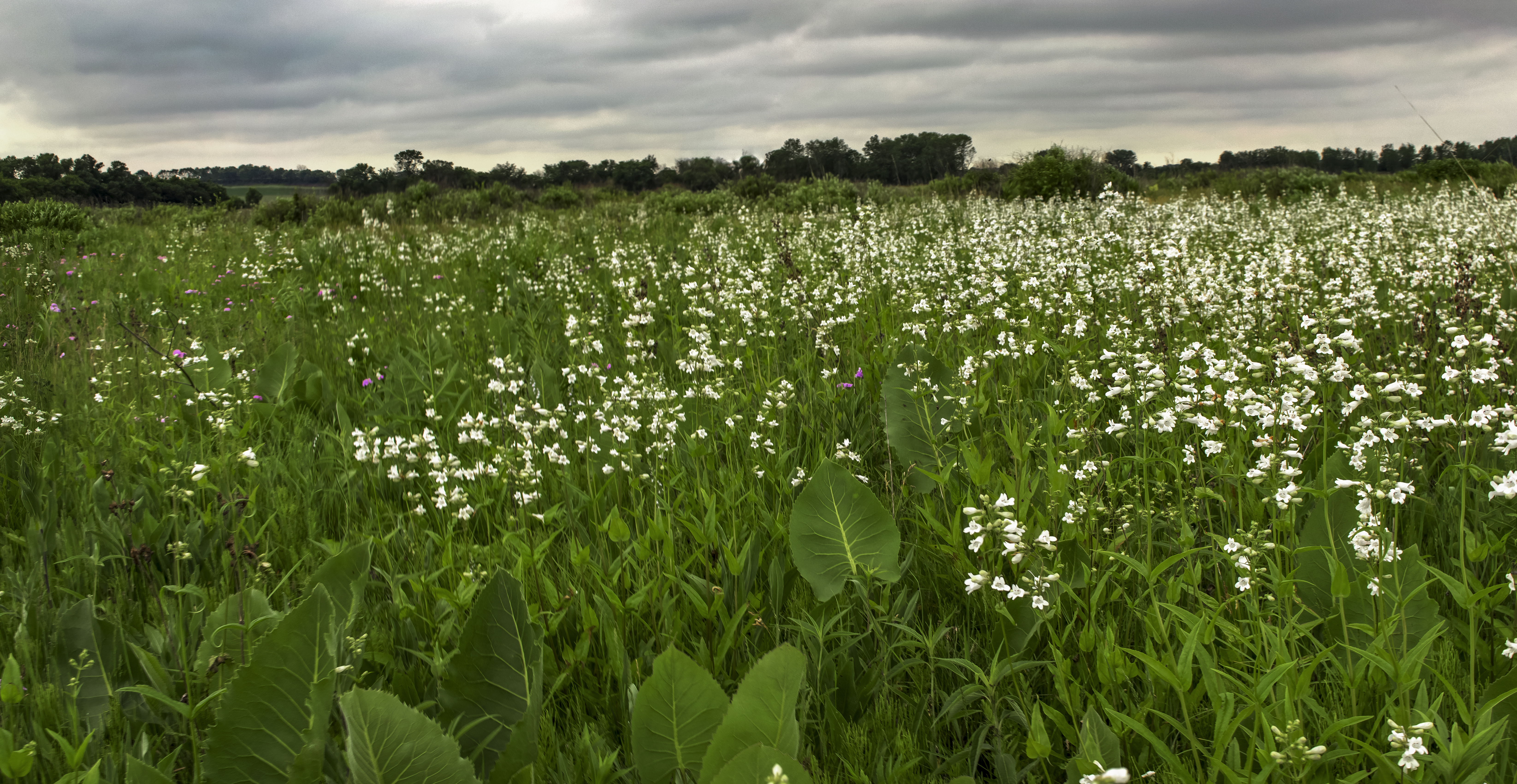
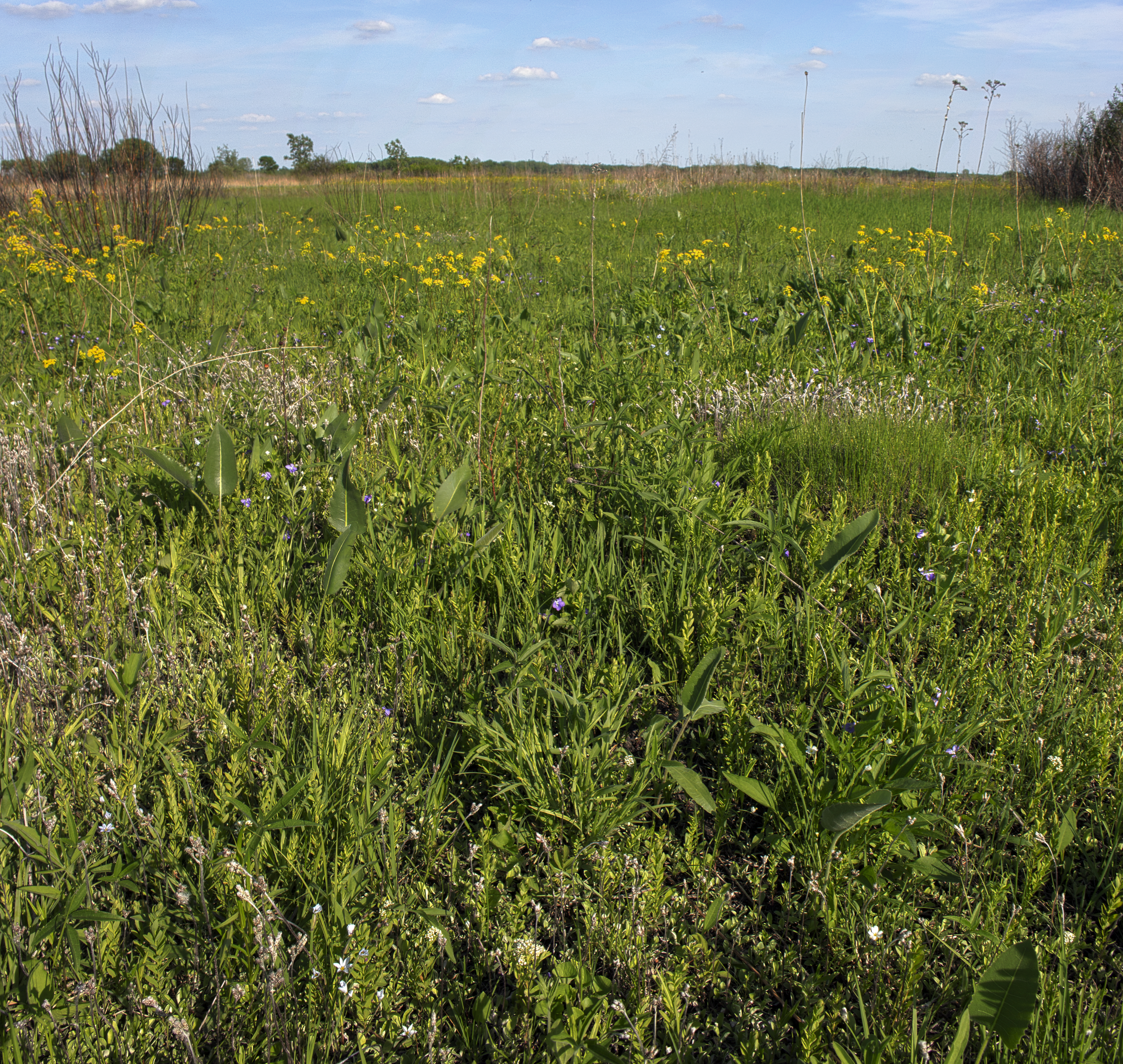
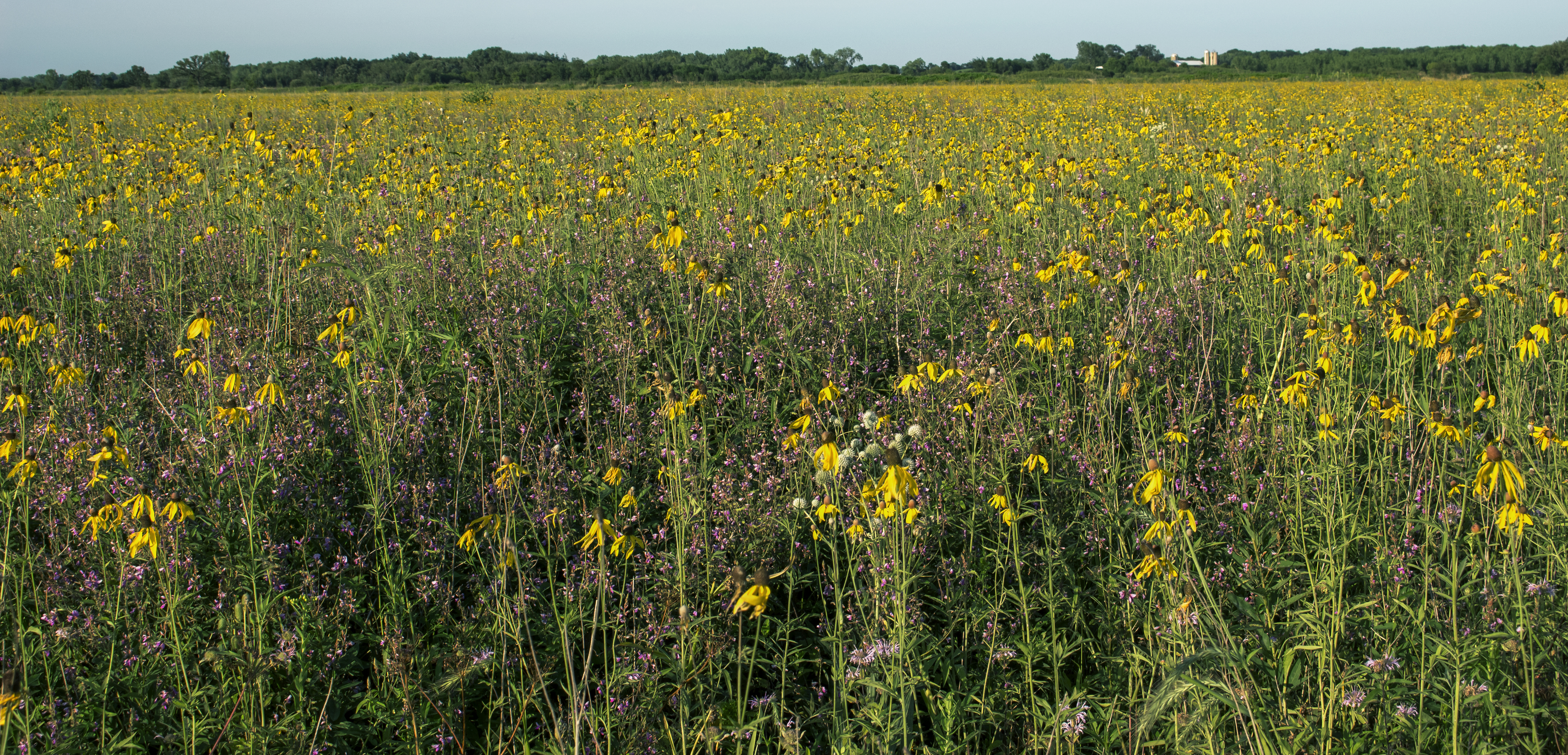
Faville Prairie State Natural Area

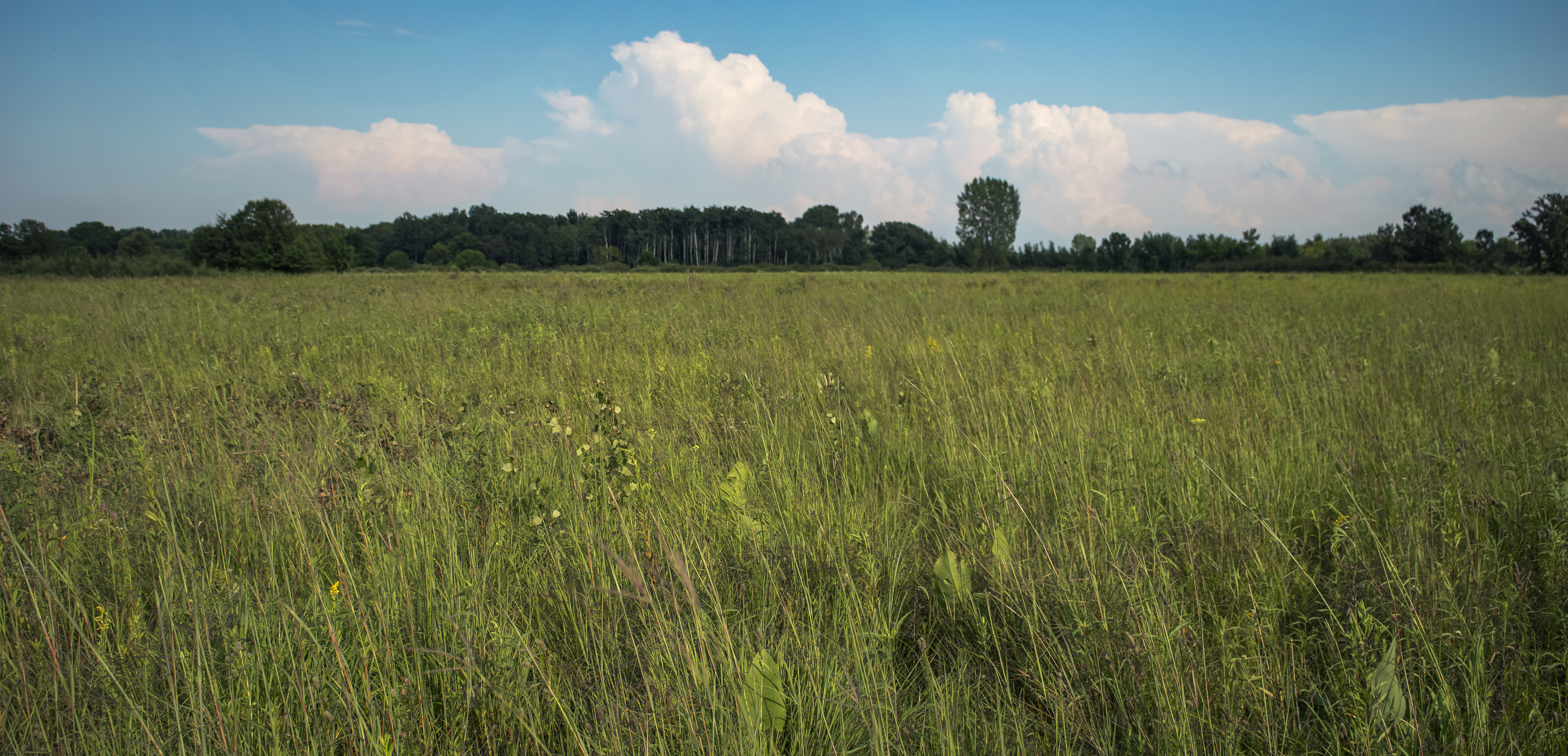
the field
LATE AFTERNOON GLEAMER ON ROCK LAKE
Faville Prairie State Natural Area
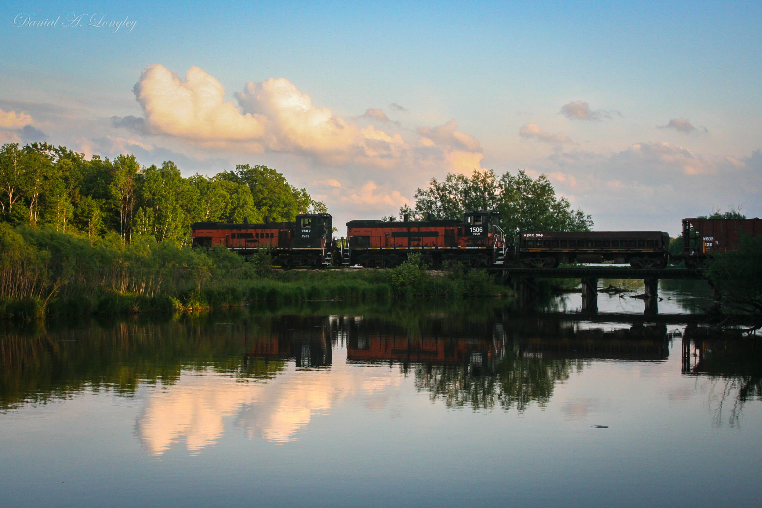
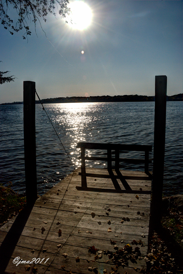
Evening Reflections
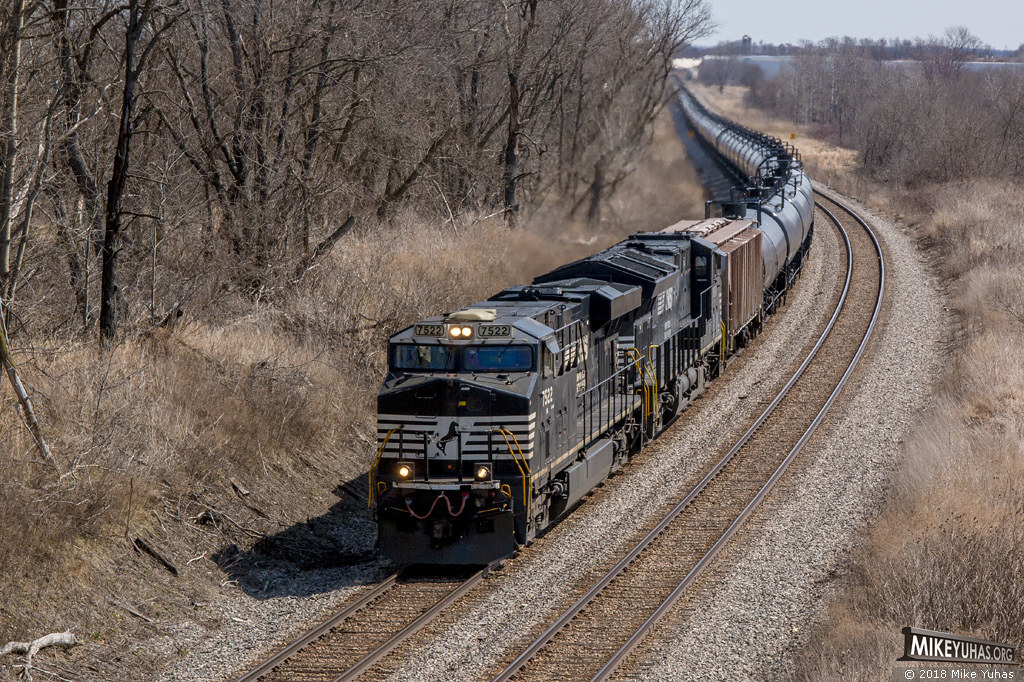
Oil train (1 of 3)
Snapper Prairie State Natural Area
Faville Prairie State Natural Area
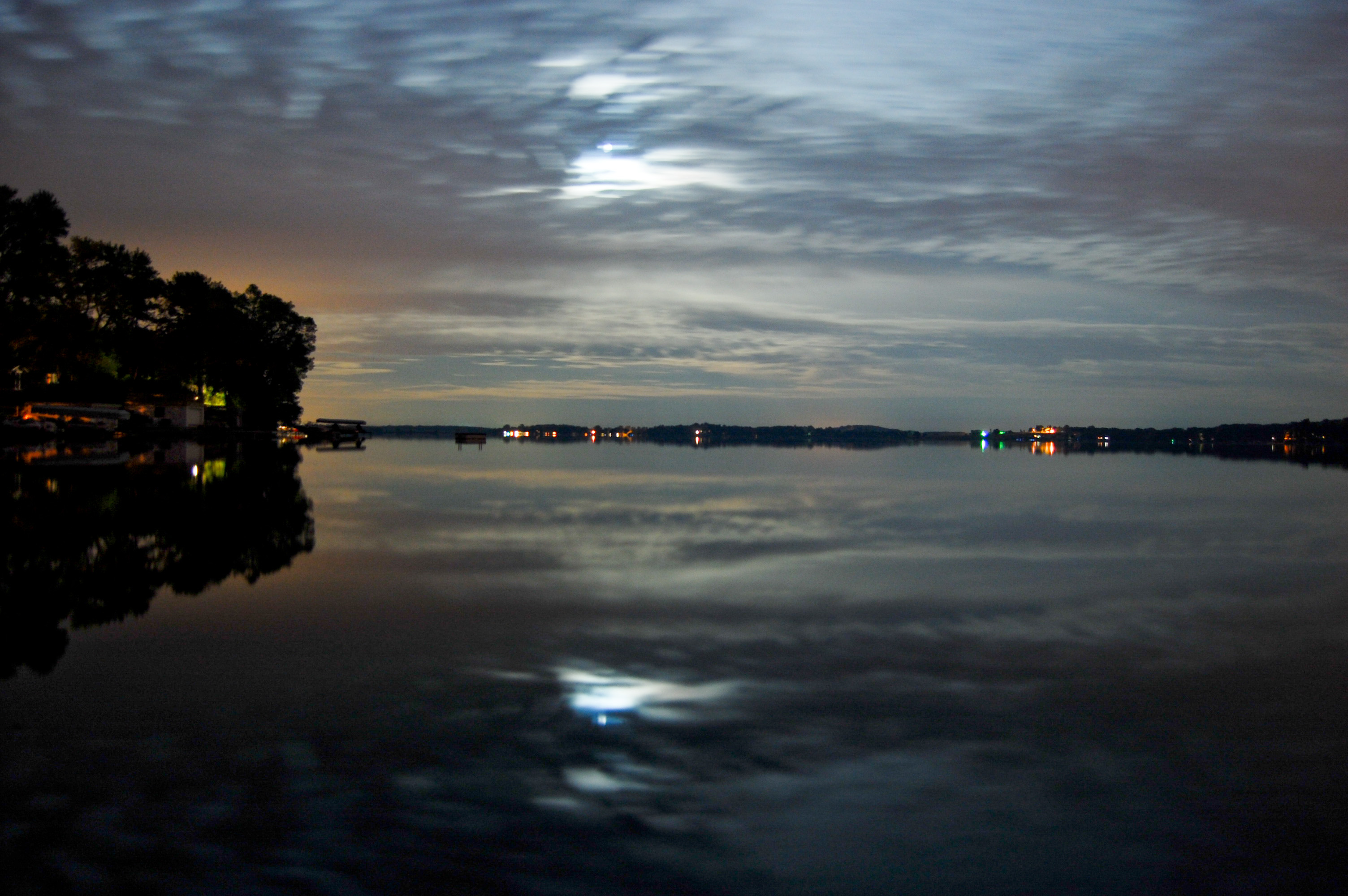
Rock Lake at midnight-ish
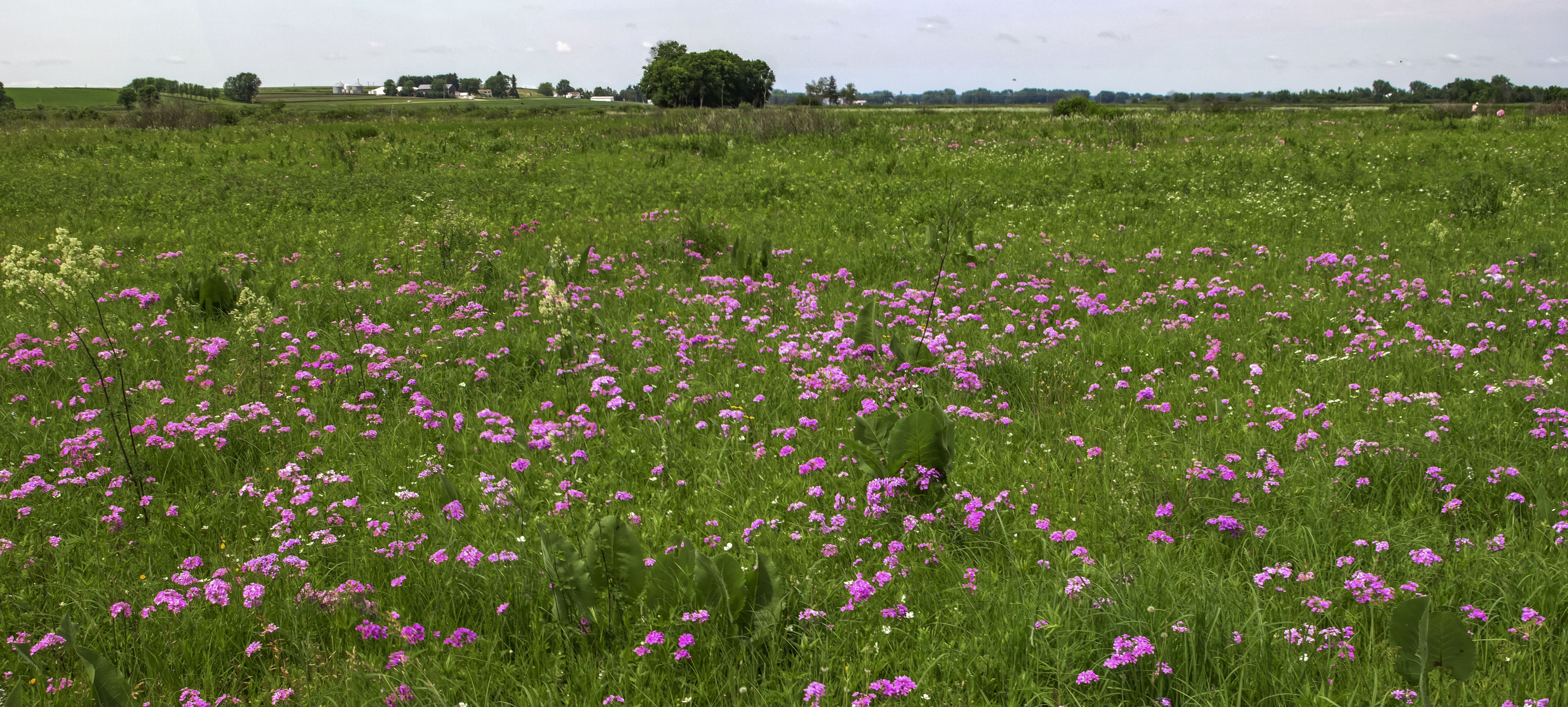
Charles Prairie
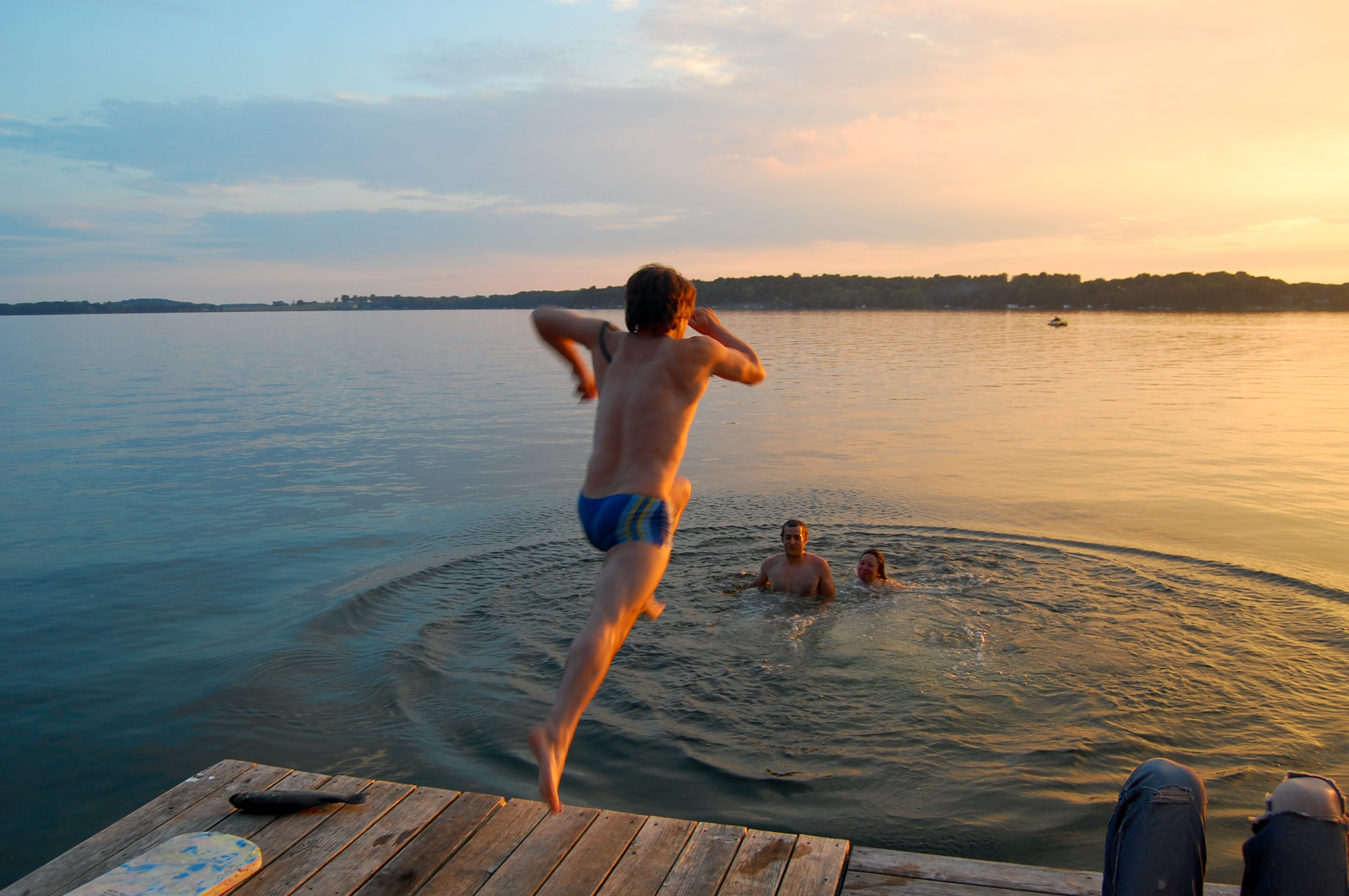
diving in
Snapper Prairie State Natural Area

LANGER FAMILY PARK
Topographic Map of Hiawatha Trail, Waterloo, WI, USA
Find elevation by address:

Places near Hiawatha Trail, Waterloo, WI, USA:
760 Hiawatha Trail
E Madison St, Waterloo, WI, USA
Medina
York Center Rd, Marshall, WI, USA
York
High Chaparral Road
1195 Schenck Rd
Deerfield
Bristol
Sun Prairie
Manley Dr, Sun Prairie, WI, USA
255 Westend Cir
4907 Kramer Ct
189 Stagecoach Cir
189 Stagecoach Cir
189 Stagecoach Cir
189 Stagecoach Cir
Betlach Rd, Sun Prairie, WI, USA
1600 Landmark Dr
N Bristol St, Sun Prairie, WI, USA
Recent Searches:
- Elevation of Elwyn Dr, Roanoke Rapids, NC, USA
- Elevation of Congressional Dr, Stevensville, MD, USA
- Elevation of Bellview Rd, McLean, VA, USA
- Elevation of Stage Island Rd, Chatham, MA, USA
- Elevation of Shibuya Scramble Crossing, 21 Udagawacho, Shibuya City, Tokyo -, Japan
- Elevation of Jadagoniai, Kaunas District Municipality, Lithuania
- Elevation of Pagonija rock, Kranto 7-oji g. 8"N, Kaunas, Lithuania
- Elevation of Co Rd 87, Jamestown, CO, USA
- Elevation of Tenjo, Cundinamarca, Colombia
- Elevation of Côte-des-Neiges, Montreal, QC H4A 3J6, Canada