Elevation map of Hevel Eilot Regional Council, Israel
Location: Israel > South District > Be'er Sheva >
Longitude: 34.9506625
Latitude: 30.130877
Elevation: 381m / 1250feet
Barometric Pressure: 97KPa
Elevation Map:
Satellite Map:
Related Photos:

Richard's Pipit

Richard's Pipit

Richard's Pipit

Richard's Pipit

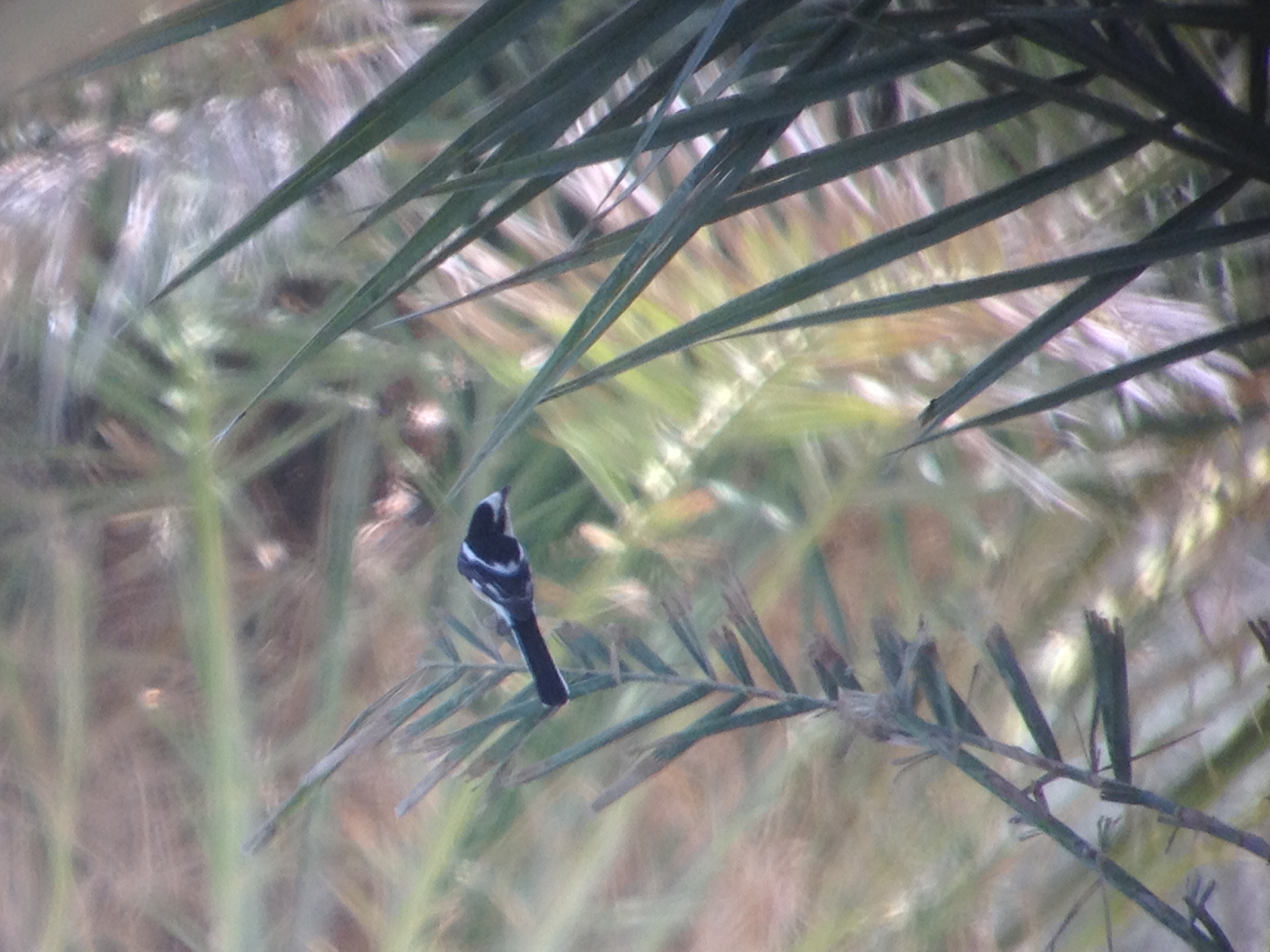
Pied Bushchat

Masked Shrike

Masked Shrike
Masked Shrike
Masked Shrike

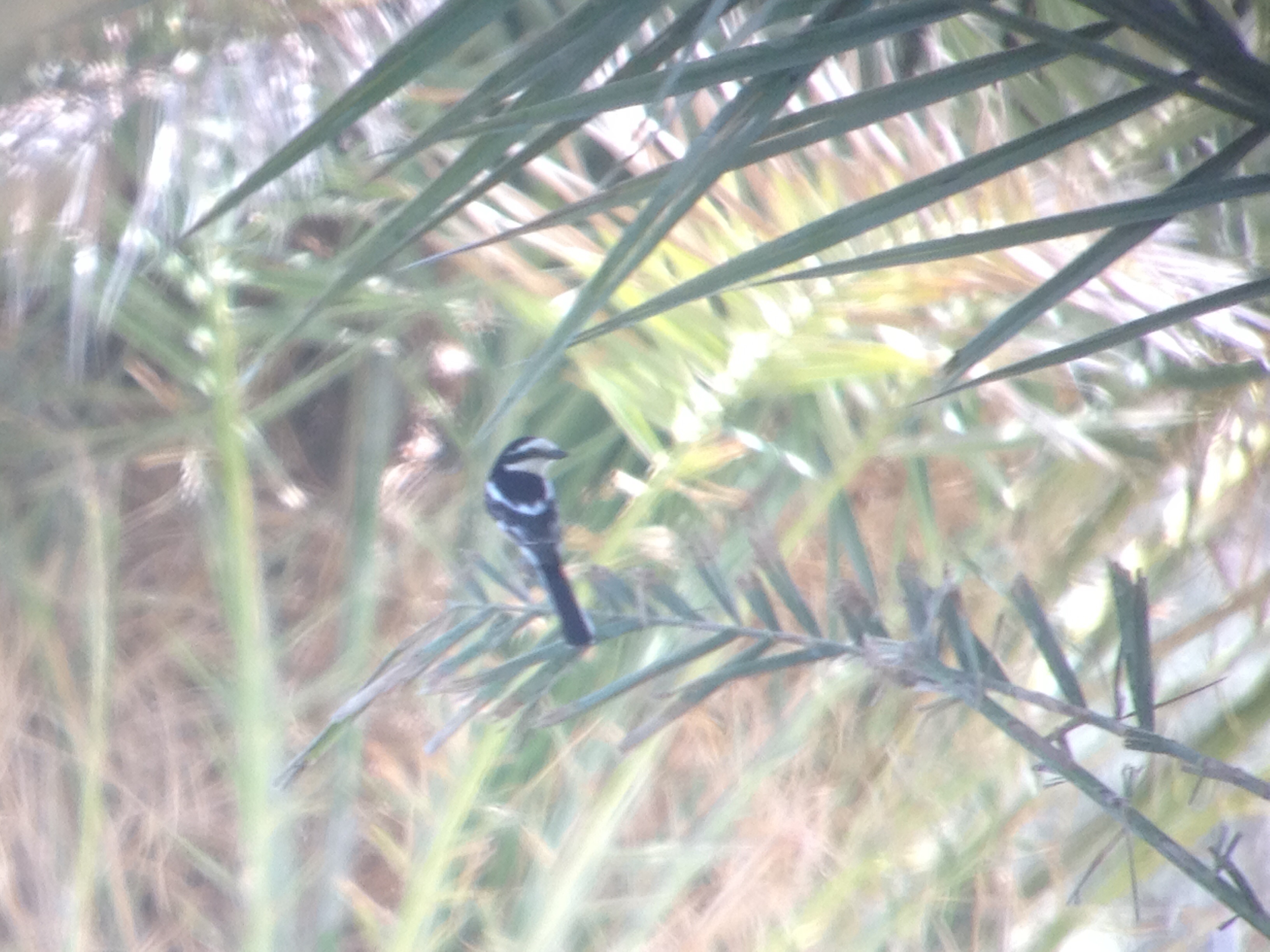
Pied Bushchat
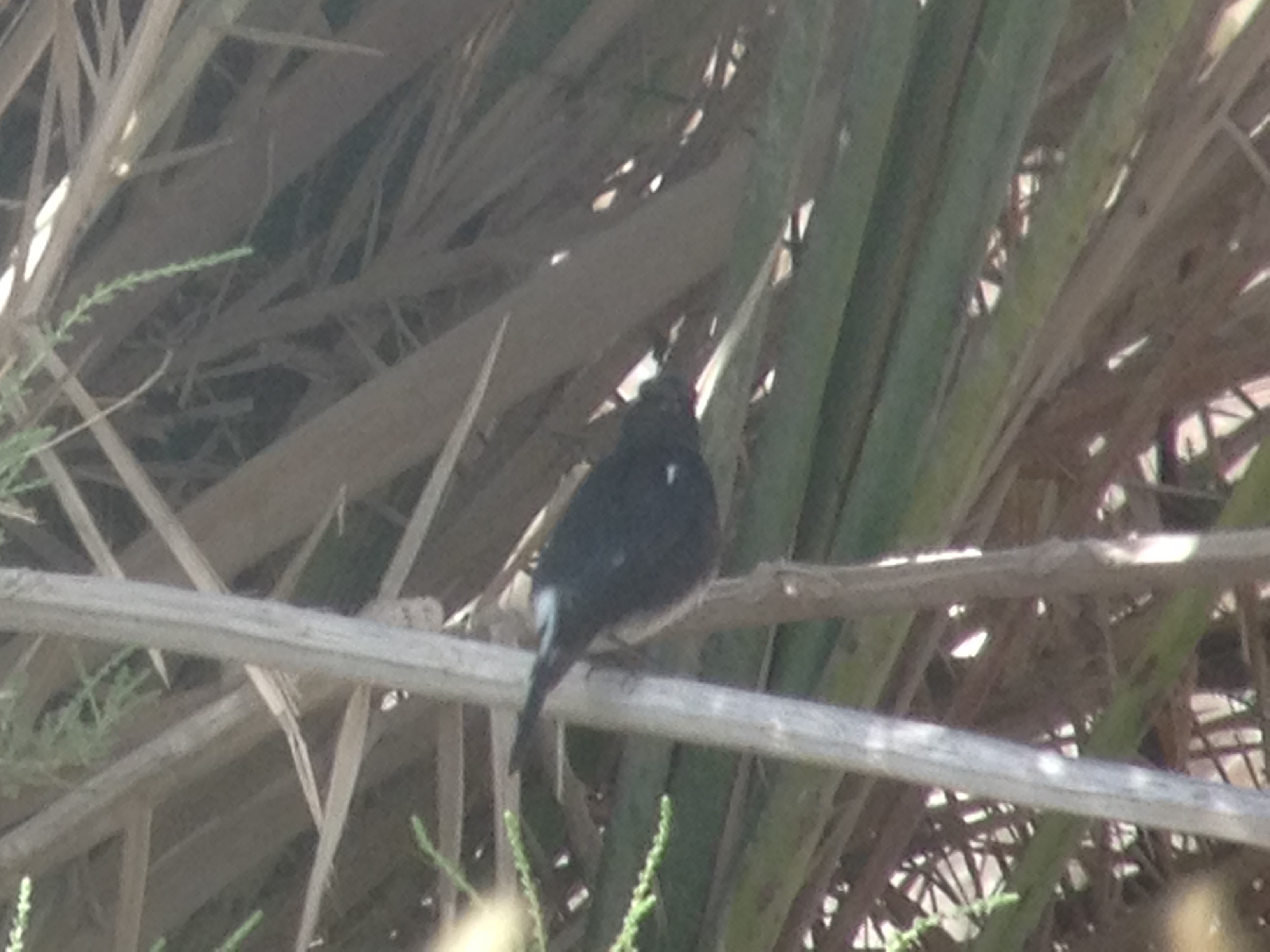
Pied Bushchat
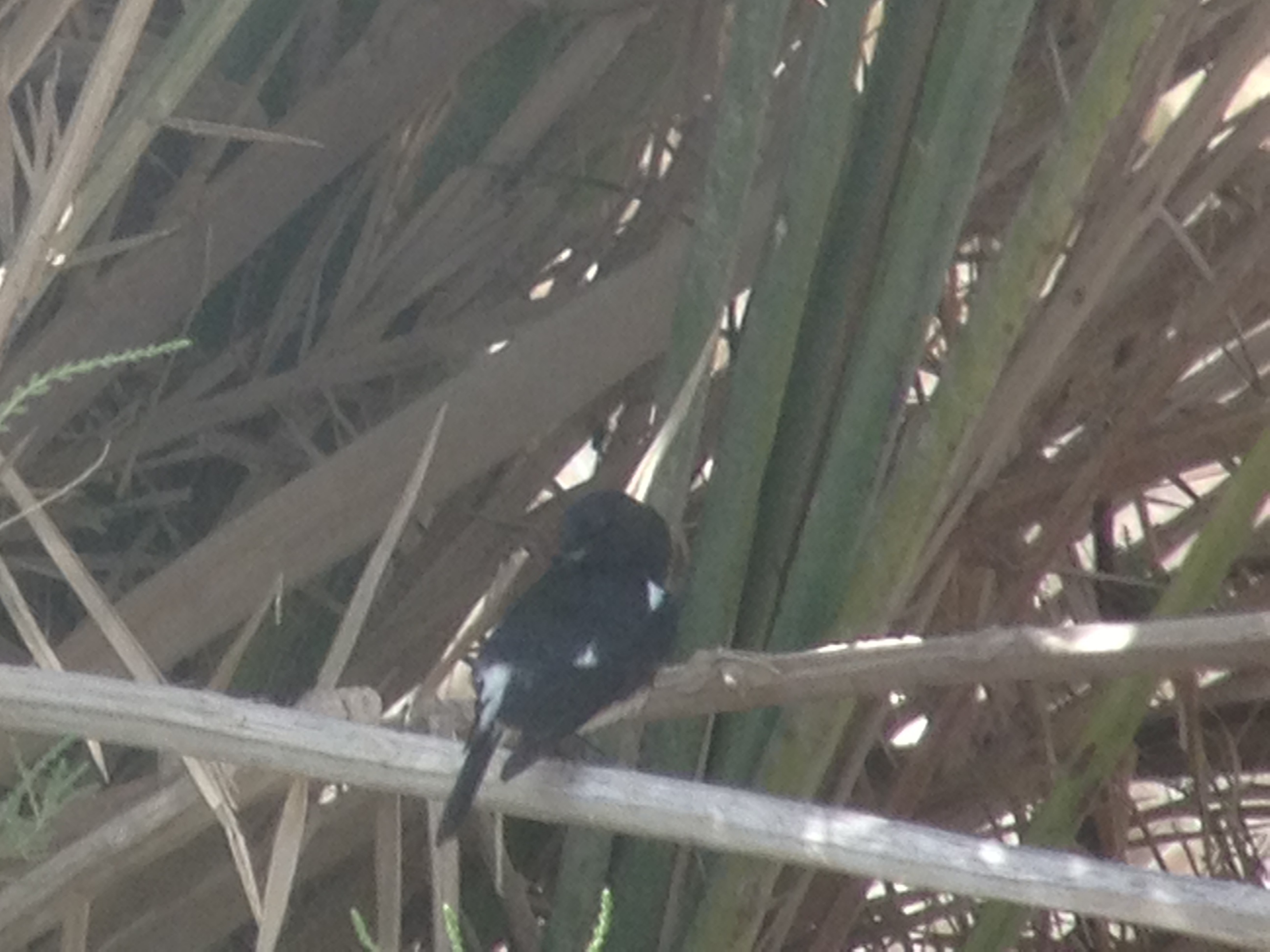
Pied Bushchat
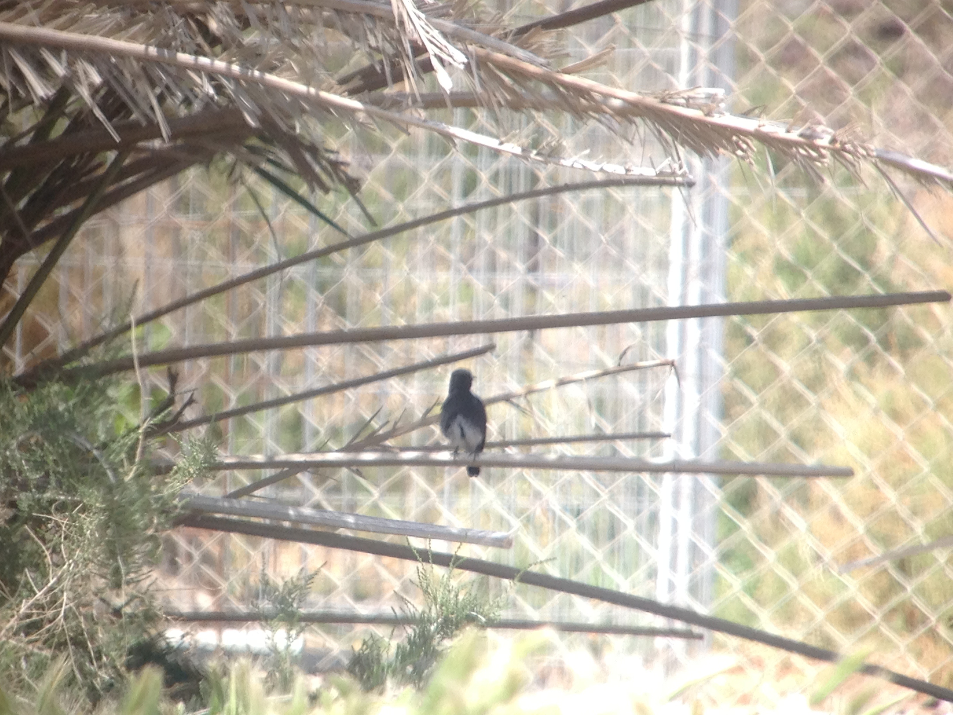
Pied Bushchat

Pied Bushchat

Pied Bushchat

Pied Bushchat

Pied Bushchat

Pied Bushchat

Pied Bushchat

Pied Bushchat

Pied Bushchat
2013-11-22 13

2013-11-22 14

Mitzpe Ramon, Israel
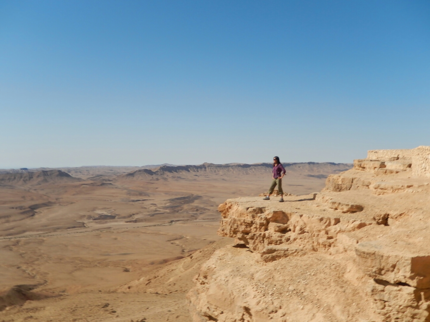
Mitzpe Ramon, Israel

Mitzpe Ramon, Israel

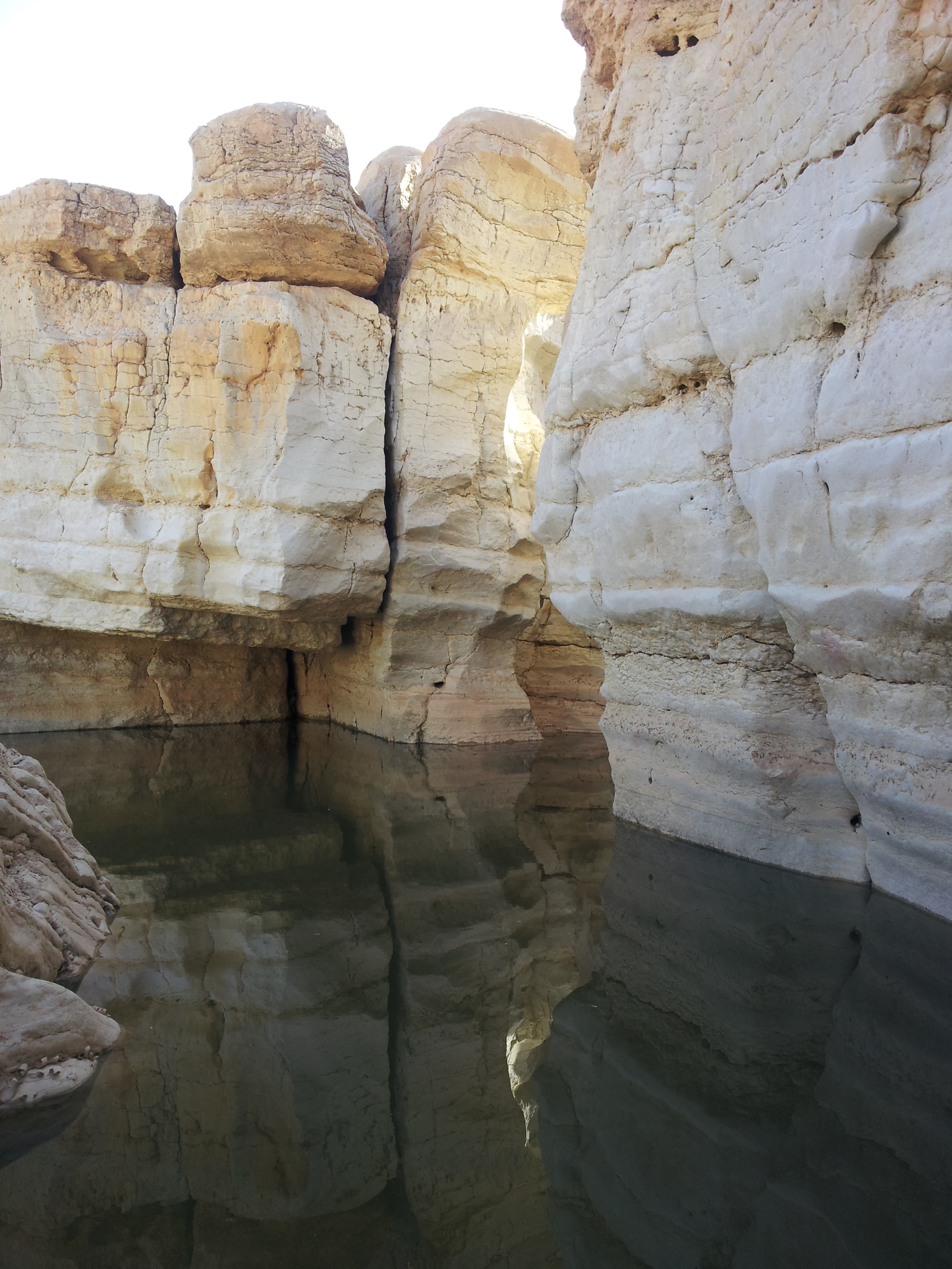
Uvda plains DSCN4772
Topographic Map of Hevel Eilot Regional Council, Israel
Find elevation by address:

Places in Hevel Eilot Regional Council, Israel:
Places near Hevel Eilot Regional Council, Israel:
Shitim
Unnamed Road
Yahel
Ketura
Paran
Timna Park
Castle Locality Khan Srnim
Negev Mountains
Makhtesh Ramon
Mitzpe Ramon
Yehuda Street
Eilat
Negev
Aqaba Qasabah District
Aqaba Governorate
Aqaba
South District
Be'er Sheva
Ramat Hanegev
Sde Boker
Recent Searches:
- Elevation of Congressional Dr, Stevensville, MD, USA
- Elevation of Bellview Rd, McLean, VA, USA
- Elevation of Stage Island Rd, Chatham, MA, USA
- Elevation of Shibuya Scramble Crossing, 21 Udagawacho, Shibuya City, Tokyo -, Japan
- Elevation of Jadagoniai, Kaunas District Municipality, Lithuania
- Elevation of Pagonija rock, Kranto 7-oji g. 8"N, Kaunas, Lithuania
- Elevation of Co Rd 87, Jamestown, CO, USA
- Elevation of Tenjo, Cundinamarca, Colombia
- Elevation of Côte-des-Neiges, Montreal, QC H4A 3J6, Canada
- Elevation of Bobcat Dr, Helena, MT, USA