Elevation of Hetzerode, Waldkappel, Germany
Location: Germany > Hesse > Kassel > Waldkappel >
Longitude: 9.8099598
Latitude: 51.1332293
Elevation: 318m / 1043feet
Barometric Pressure: 98KPa
Elevation Map:
Satellite Map:
Related Photos:
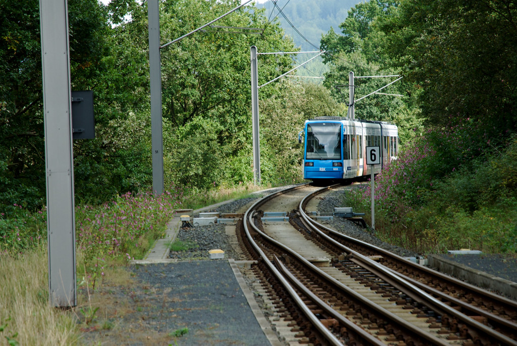
Tram 4 Kassel - Hessich Lichtenau "LossetalBahn" - Halte Waldhof (6)
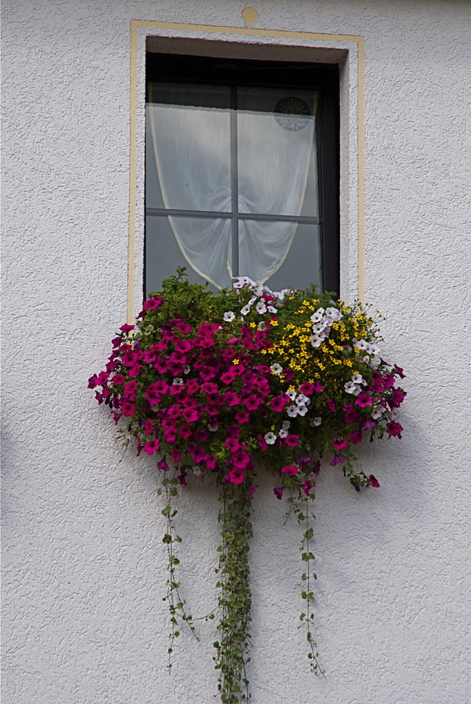
Fleurige vensterbank

Kirchenruine Abterode
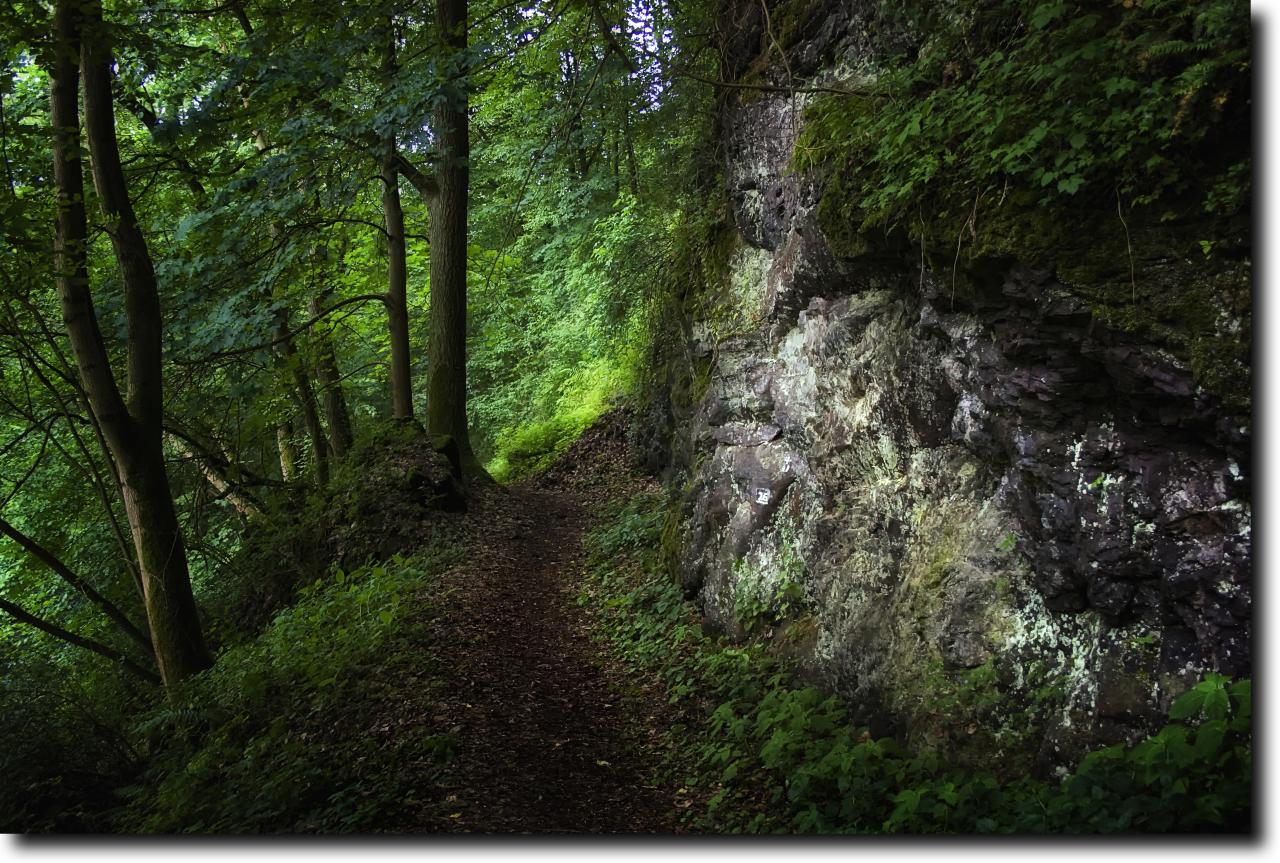
Hell Valley

*sky
#photooftheday #truestory #idea #iphone #instagram #iphoneography #sunset

end of the year // Zwischen den Jahren

Die Wehre, kurz vor der Mündung in die Werra, bei Meinhard-Jestädt. Im Hintergrund Felsen der Hessischen Schweiz.

Durch Herbstliches Laub im goldenen Oktober
#photooftheday #truestory #idea #iphone #instagram #iphoneography
IMG_0945.jpg

IMG_2360-2

#like #like4like #TagsForLikes #TFLers #liker #likes #l4l #likes4likes #photooftheday #love #likeforlike #likesforlikes #liketeam #likeback #likebackteam #instagood #likeall #likealways #liking #photooftheday #photography #photo #photos #pics #TagsForLike

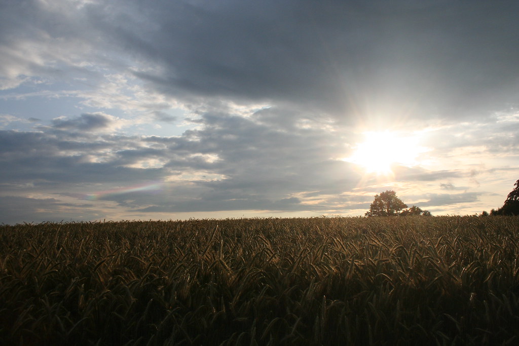
SPRING FIELDS

It's Summertime!
Höllental

Mohnblüte in Germerode

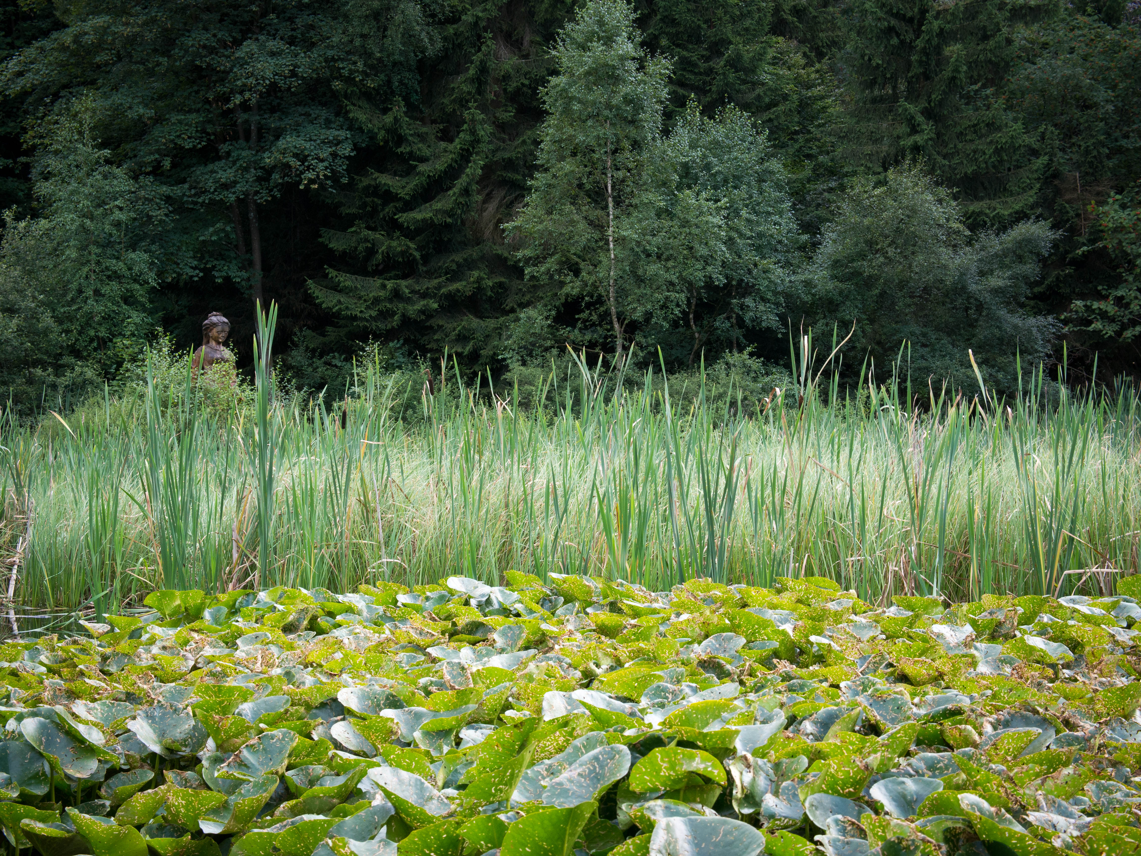
Am Frau Holle Teich

IMG_1500-Bearbeitet

2012 im Fokus-109
Evening Sun
2013_08_16_Meissner_Kalbepfad-86.jpg
Neumanns Ruh
Topographic Map of Hetzerode, Waldkappel, Germany
Find elevation by address:

Places in Hetzerode, Waldkappel, Germany:
Places near Hetzerode, Waldkappel, Germany:
Küferweg 6, Waldkappel, Germany
Bischofferode
Dorfstraße 29, Spangenberg, Germany
Dorfstraße 25, Hessisch Lichtenau, Germany
Hopfelde
Hausen
Meißnerbergstraße 7, Hessisch Lichtenau, Germany
In der Ecke 4, Spangenberg, Germany
Vockerode-dinkelberg
Dinkelberger Str. 8
Hessisch Lichtenau
Großalmerode
Dreiangelweg 14, Großalmerode, Germany
Braunhausen
Zum Steinbruch 2, Bebra, Germany
Schumannstraße 9
Spangenberg
Rotenburg An Der Fulda
Bebra
Hersfeld-rotenburg
Recent Searches:
- Elevation of Corso Fratelli Cairoli, 35, Macerata MC, Italy
- Elevation of Tallevast Rd, Sarasota, FL, USA
- Elevation of 4th St E, Sonoma, CA, USA
- Elevation of Black Hollow Rd, Pennsdale, PA, USA
- Elevation of Oakland Ave, Williamsport, PA, USA
- Elevation of Pedrógão Grande, Portugal
- Elevation of Klee Dr, Martinsburg, WV, USA
- Elevation of Via Roma, Pieranica CR, Italy
- Elevation of Tavkvetili Mountain, Georgia
- Elevation of Hartfords Bluff Cir, Mt Pleasant, SC, USA