Elevation of Herrick Township, PA, USA
Location: United States > Pennsylvania > Susquehanna County >
Longitude: -75.516023
Latitude: 41.737889
Elevation: 575m / 1886feet
Barometric Pressure: 95KPa
Elevation Map:
Satellite Map:
Related Photos:

Independent Lake
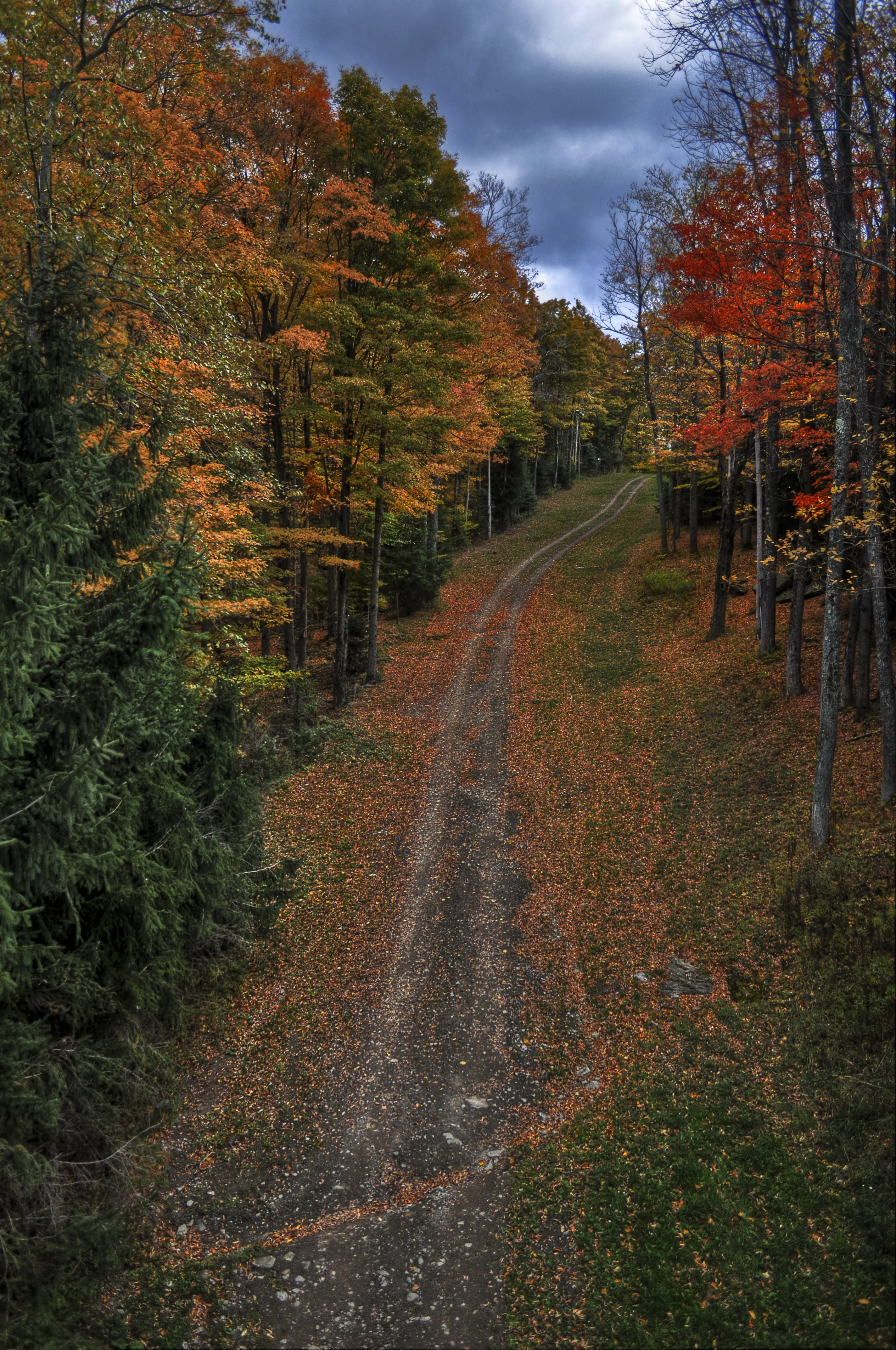
Fall Trail

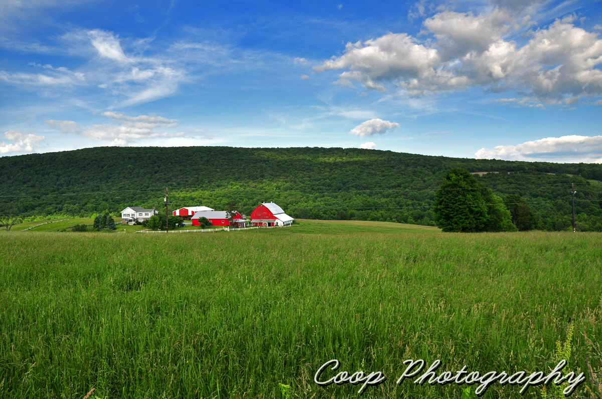
Pennsylvania Barn Sunset Panorama

Always Look Behind You
Lost In A Dream
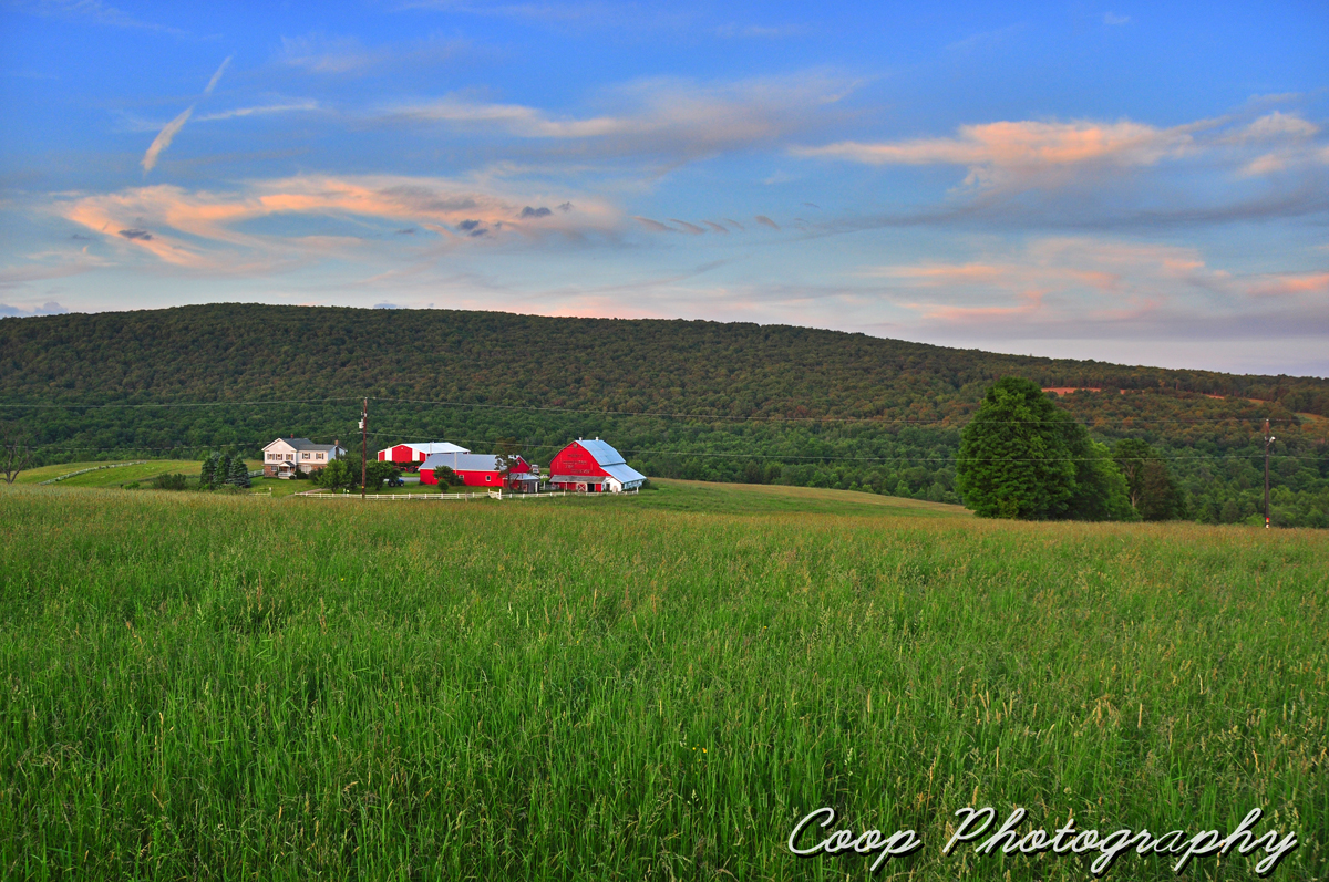
Golden Hour At The Barn

Windmill Ridge
Tinkerbrook Views
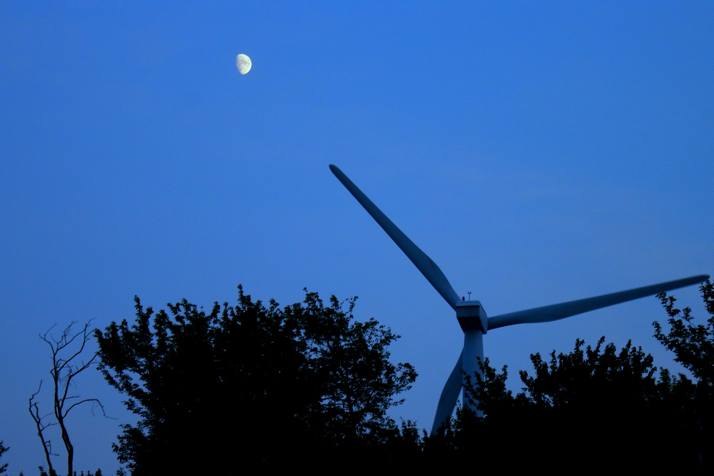
Windmill points to the Moon
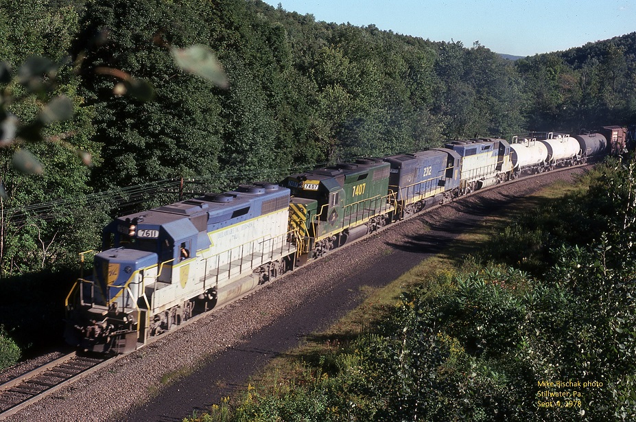
D&H 7611

Winter - Lakewood, PA

Secrets Revealed
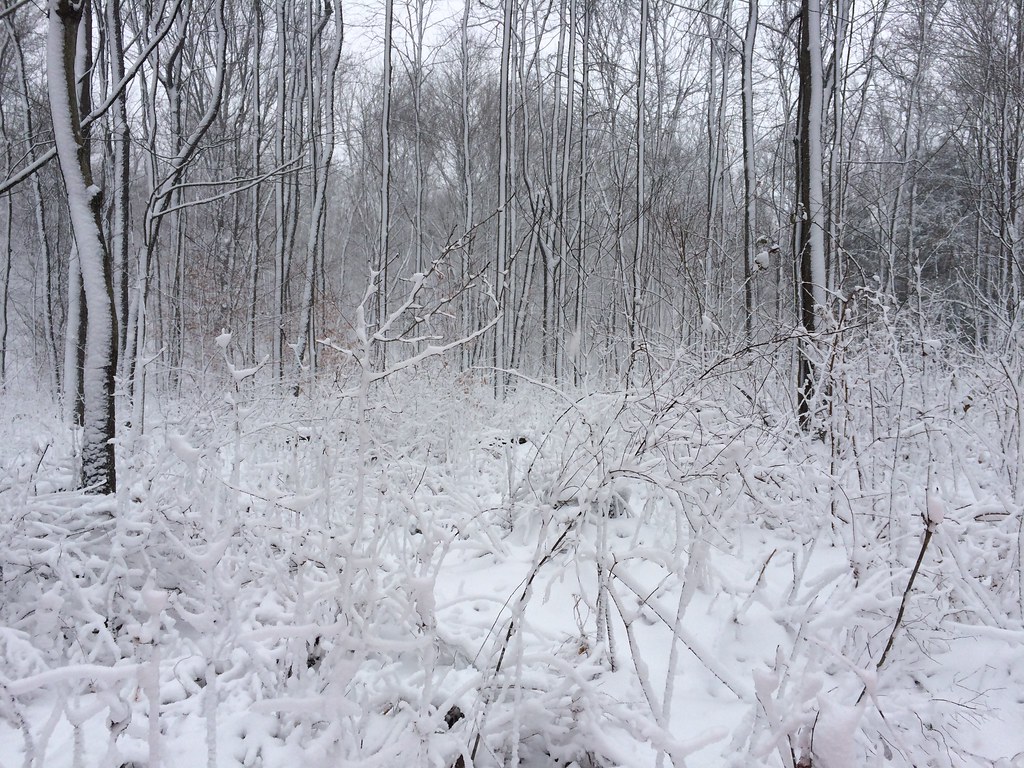
White woods

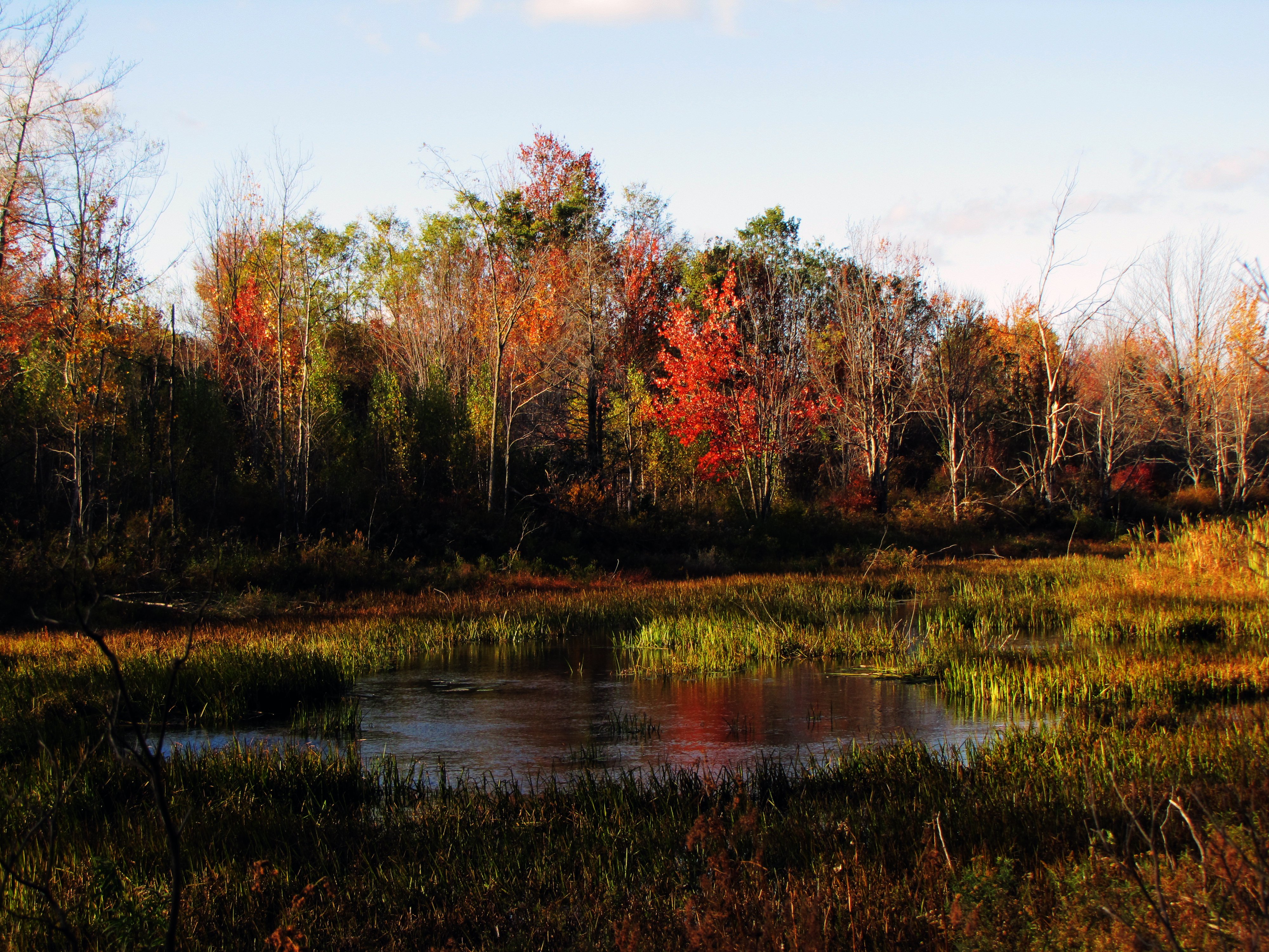
Crimson Red

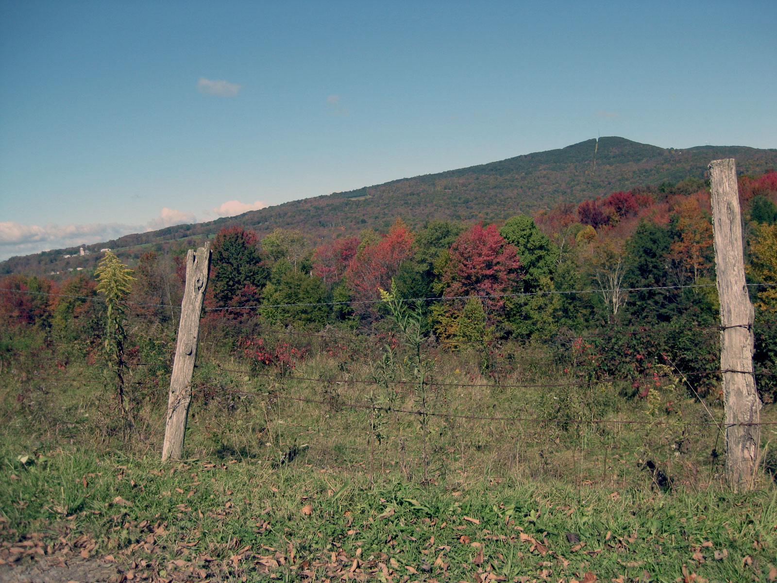
Back Road

Old Pennsylvania Barn

Long Shadows

Lake driveway
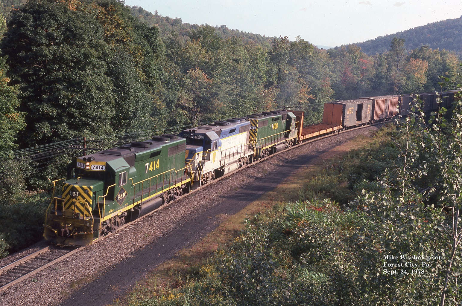
D&H 7414

Rolling Hills - Big Sky

Back on the Farm

Hillside-2012-16
octoberwalk 056a

Dairy Farm

Mountain House

Hillside-2012-10
Topographic Map of Herrick Township, PA, USA
Find elevation by address:

Places in Herrick Township, PA, USA:
Places near Herrick Township, PA, USA:
Lowe Lake
Lewis Lake Road
Union Dale
N Main St, Union Dale, PA, USA
714 S Main St
Elk Mountain Ski Resort
North Knob
Fiddle Lake
Tinker Brook Road
Clifford
Ararat Township
Mount Ararat
Pleasant Mount
Orson
40 Hines Rd
96 Czapnik Rd
Cribbs Rd, Lakewood, PA, USA
Mount Pleasant Township
Brickschool Road
Preston Township
Recent Searches:
- Elevation of Tenjo, Cundinamarca, Colombia
- Elevation of Côte-des-Neiges, Montreal, QC H4A 3J6, Canada
- Elevation of Bobcat Dr, Helena, MT, USA
- Elevation of Zu den Ihlowbergen, Althüttendorf, Germany
- Elevation of Badaber, Peshawar, Khyber Pakhtunkhwa, Pakistan
- Elevation of SE Heron Loop, Lincoln City, OR, USA
- Elevation of Slanický ostrov, 01 Námestovo, Slovakia
- Elevation of Spaceport America, Co Rd A, Truth or Consequences, NM, USA
- Elevation of Warwick, RI, USA
- Elevation of Fern Rd, Whitmore, CA, USA