Elevation of Hermans Dr, Eganville, ON K0J 1T0, Canada
Location: Canada > Ontario > Renfrew County > Bonnechere Valley > Eganville >
Longitude: -77.352666
Latitude: 45.3498653
Elevation: 333m / 1093feet
Barometric Pressure: 97KPa
Elevation Map:
Satellite Map:
Related Photos:
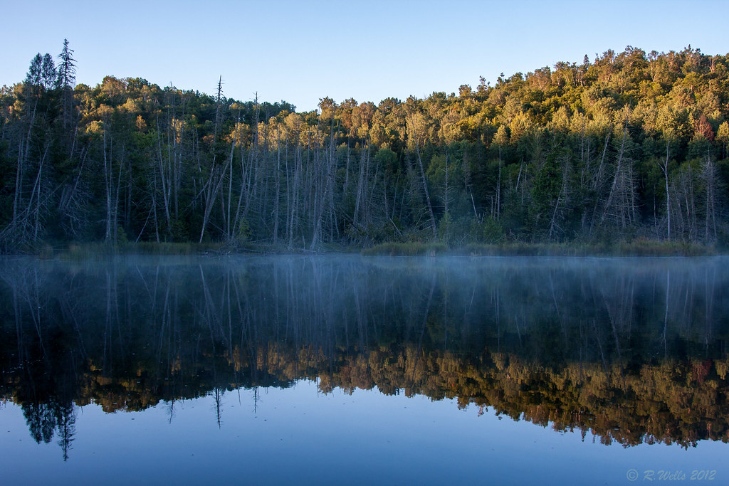
2013:365:232
Roaming the Highlands
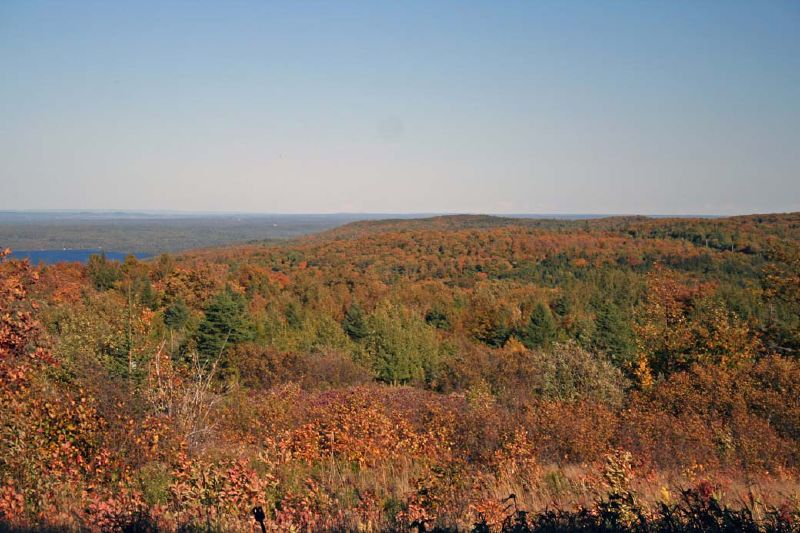
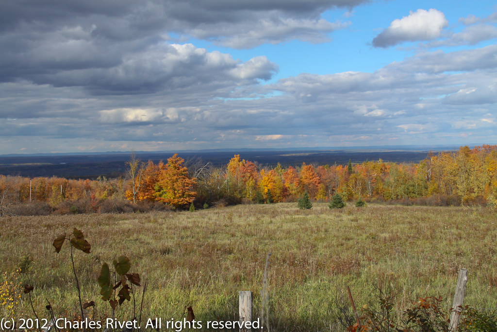
View from Foymount, Ontario
Valley view from Foymount
_MG_7299.jpg

Many paths to choose from: January 17
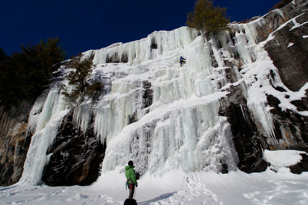
Elaine on lead
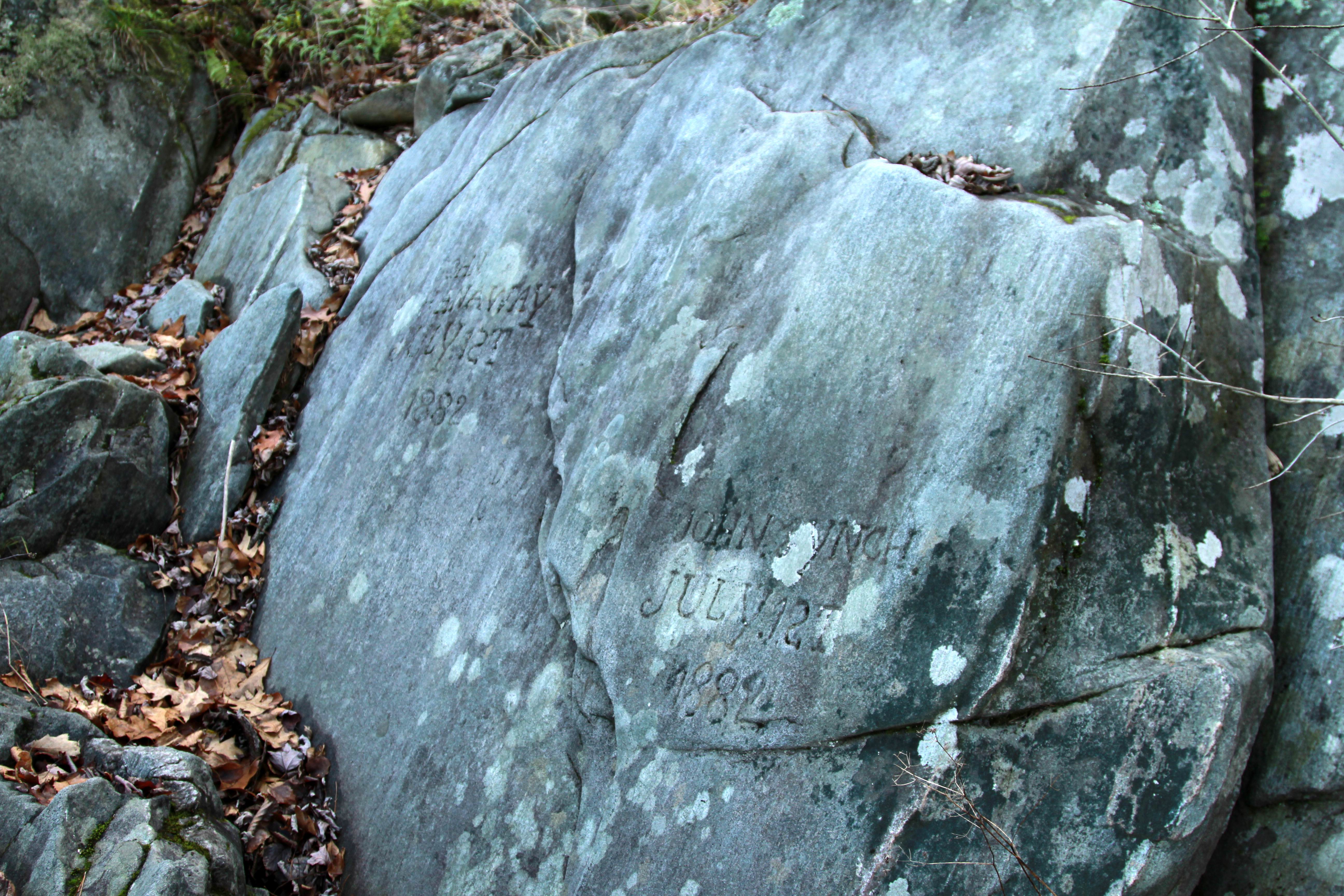
July 12th, 1882
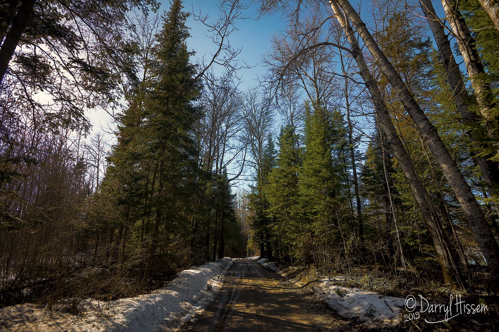
Spring Snow
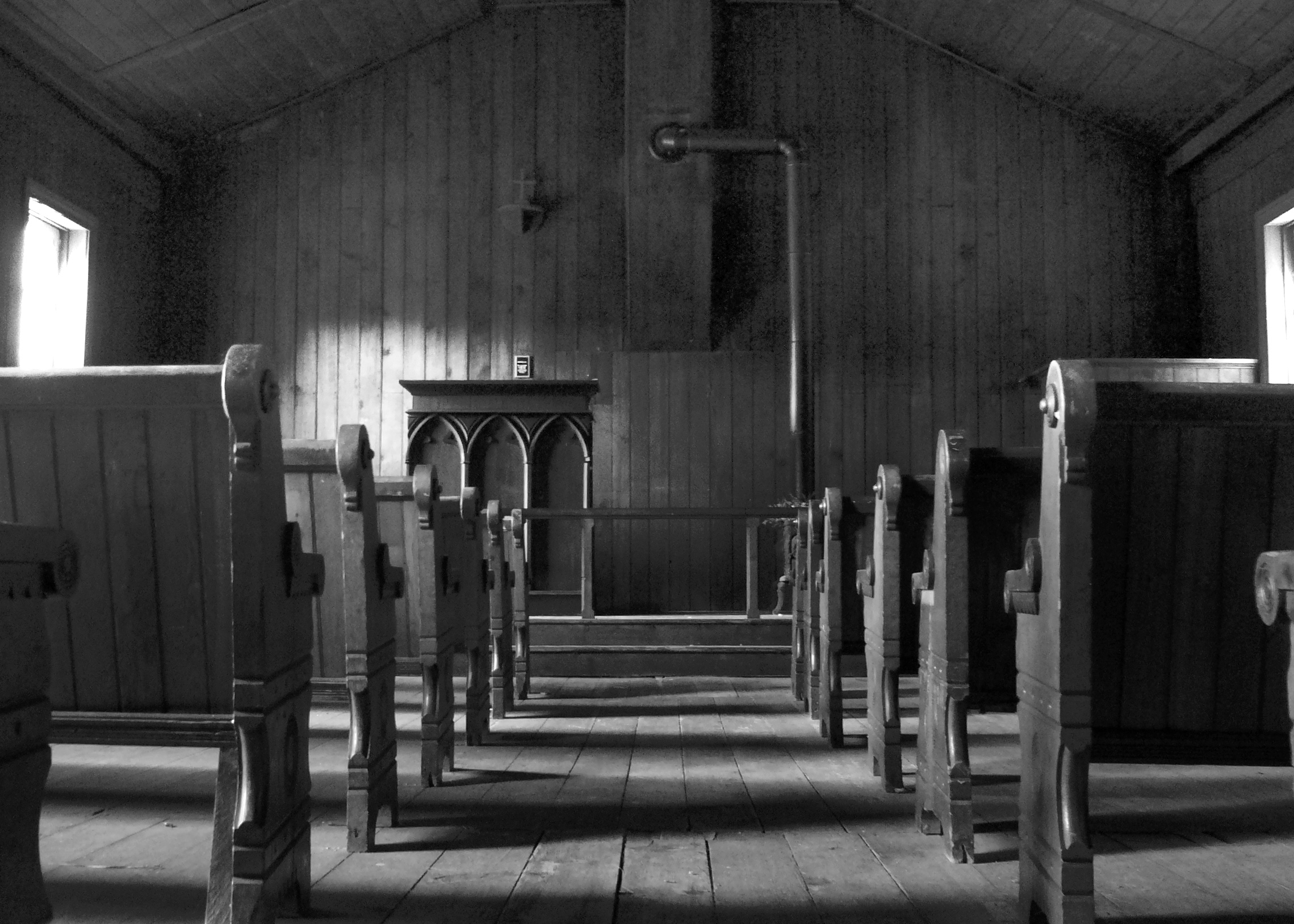
Church Landscape
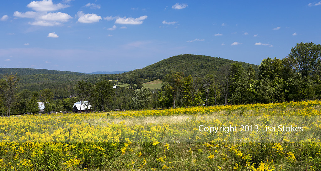
Yellow & Gold
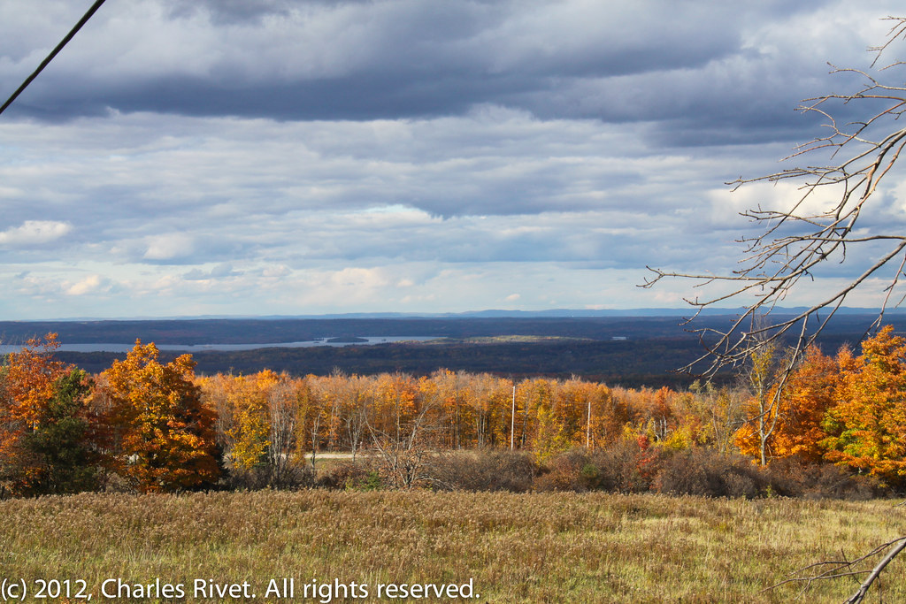
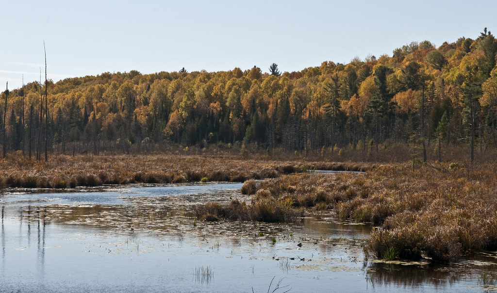
Fall Valley
Topographic Map of Hermans Dr, Eganville, ON K0J 1T0, Canada
Find elevation by address:

Places near Hermans Dr, Eganville, ON K0J 1T0, Canada:
Big Eneas Lake
199 Madigan Rd
Brudenell, Lyndoch And Raglan
Letterkenny
Luloff Lane
Rochefort Road
Palmer Rapids
3094 Mountain View Rd
3191 Mountain View Rd
8 Angus St
8 Angus St
Killaloe
130 Queen St
Golden Lake
1064 Church St
Mcnee Drive
1176 Kuiack Rd
Wilno
Combermere
14 Shalla St
Recent Searches:
- Elevation of Co Rd 87, Jamestown, CO, USA
- Elevation of Tenjo, Cundinamarca, Colombia
- Elevation of Côte-des-Neiges, Montreal, QC H4A 3J6, Canada
- Elevation of Bobcat Dr, Helena, MT, USA
- Elevation of Zu den Ihlowbergen, Althüttendorf, Germany
- Elevation of Badaber, Peshawar, Khyber Pakhtunkhwa, Pakistan
- Elevation of SE Heron Loop, Lincoln City, OR, USA
- Elevation of Slanický ostrov, 01 Námestovo, Slovakia
- Elevation of Spaceport America, Co Rd A, Truth or Consequences, NM, USA
- Elevation of Warwick, RI, USA