Elevation of Henry Dr, McCalla, AL, USA
Location: United States > Alabama > Tuscaloosa County > Mc Calla >
Longitude: -87.119003
Latitude: 33.285632
Elevation: 193m / 633feet
Barometric Pressure: 99KPa
Elevation Map:
Satellite Map:
Related Photos:
Better Days

lady view

girls view
November 6, 2011
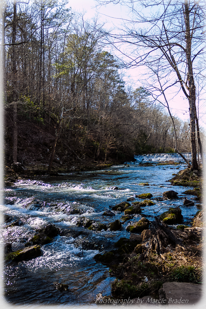
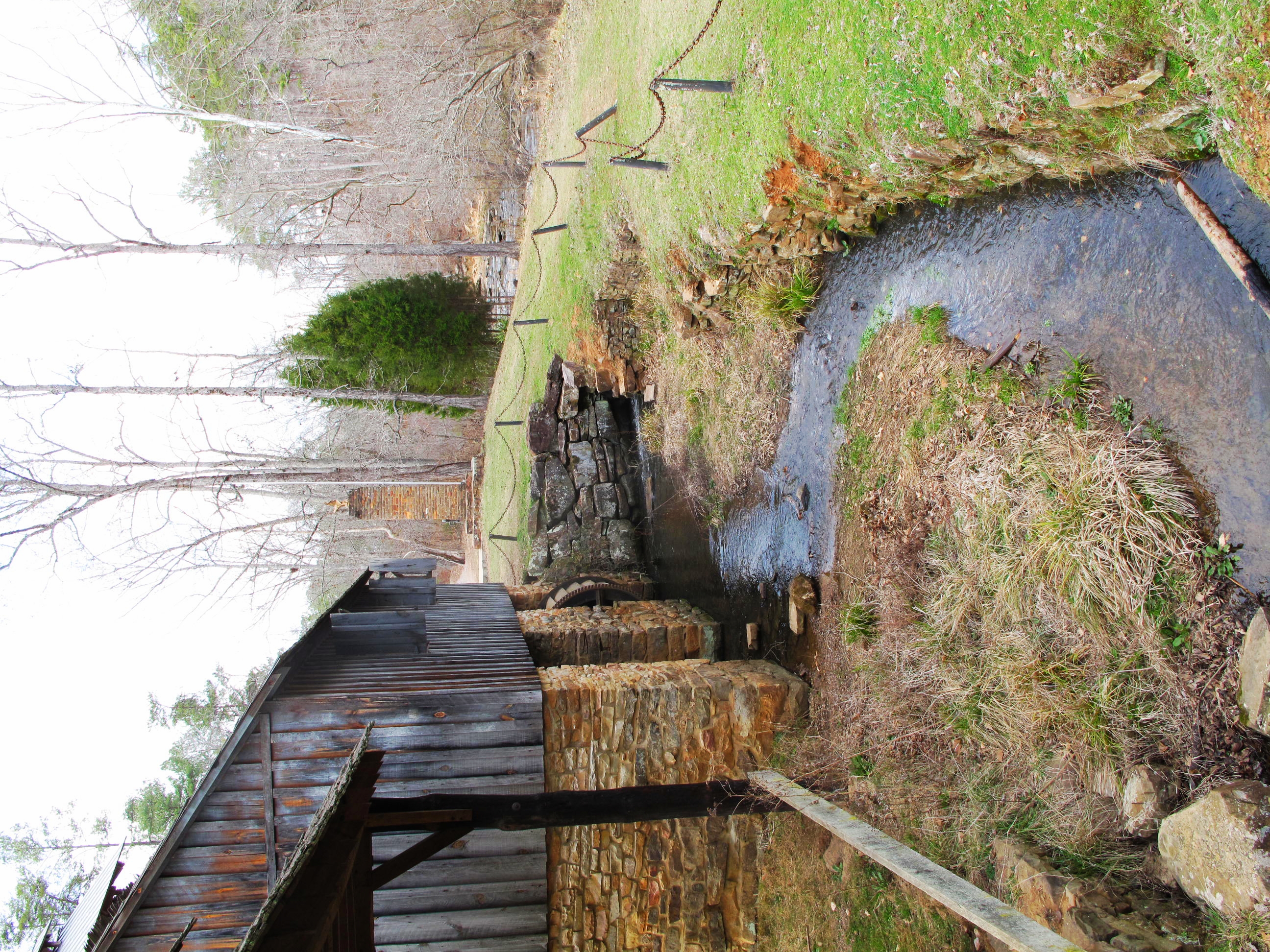
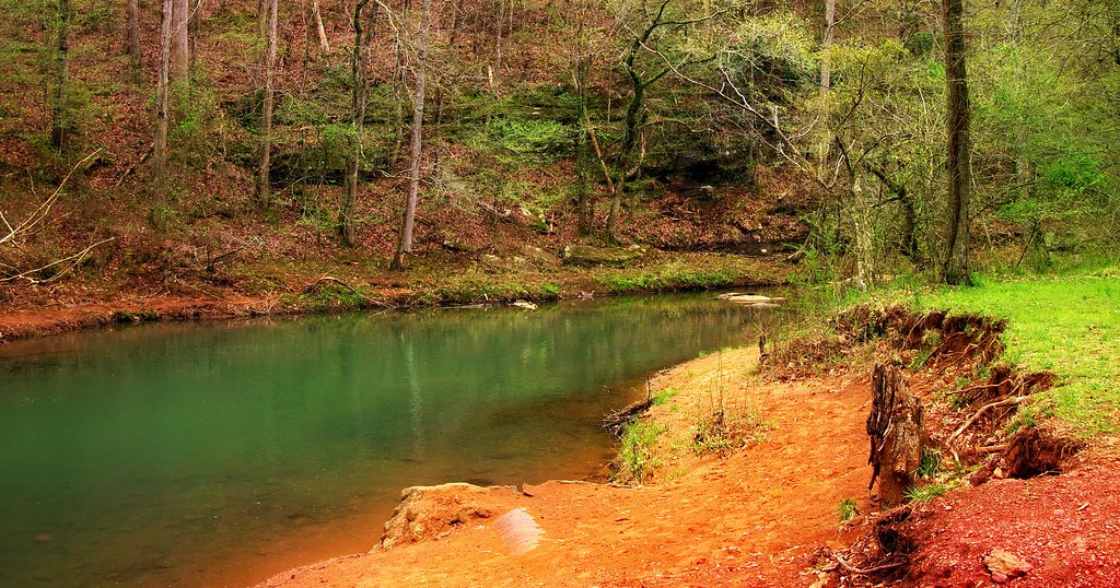
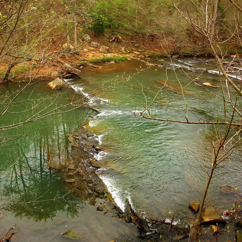
Grist Mill Dam - Tannehill Ironworks Historical State Park

December 22, 2013
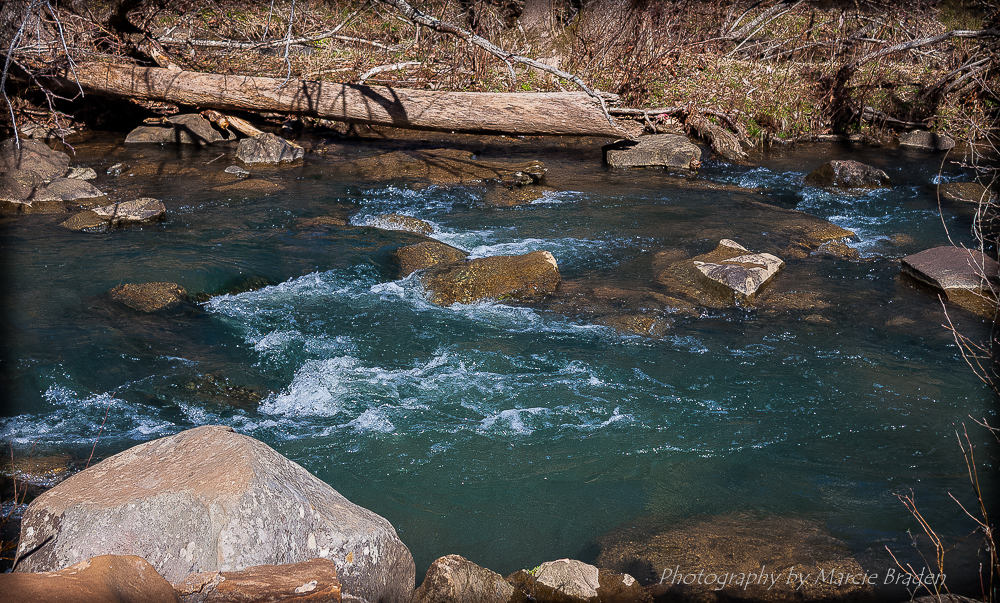
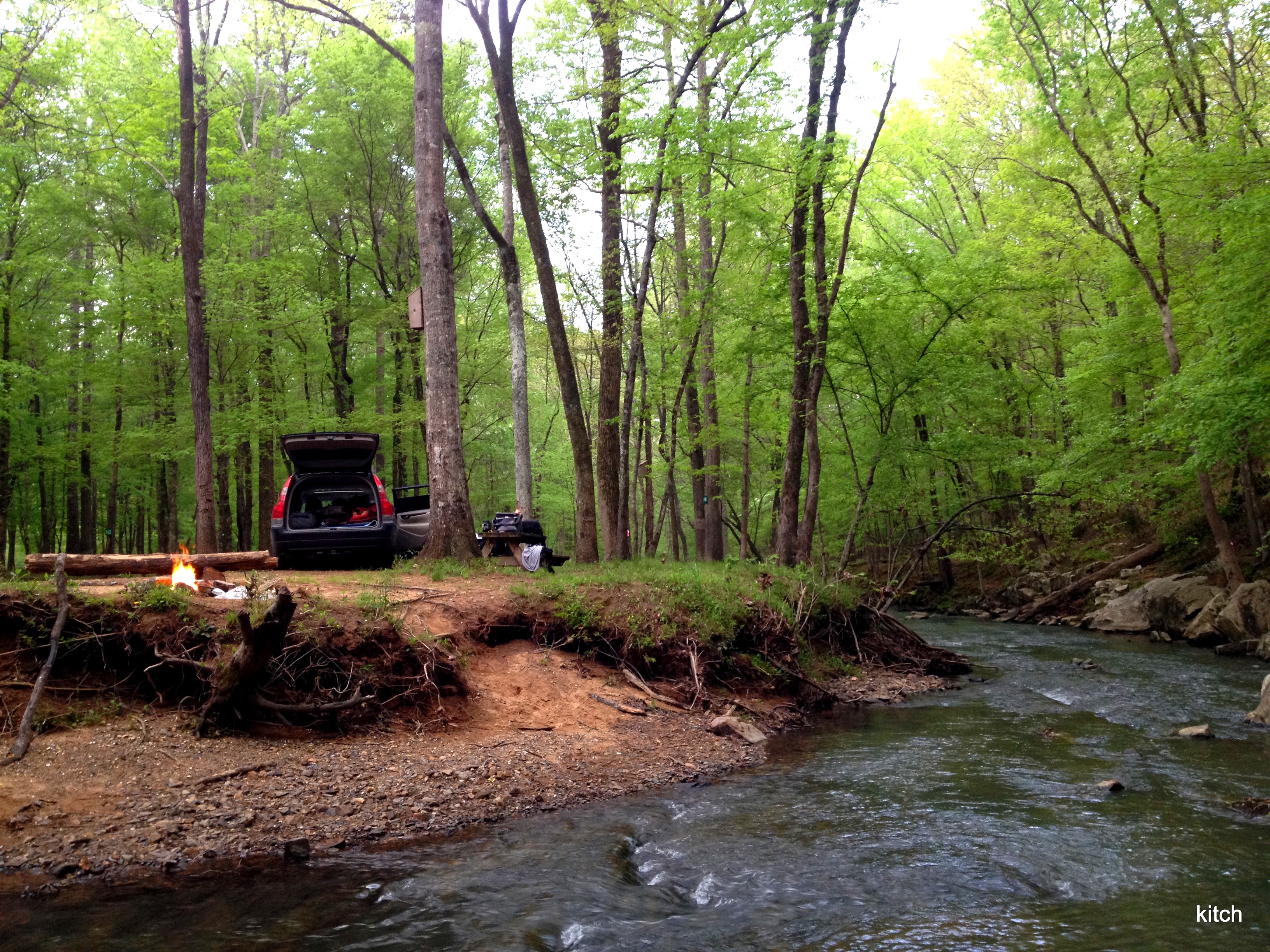
Roupes Creek - Tannehill Ironworks Historical State Park
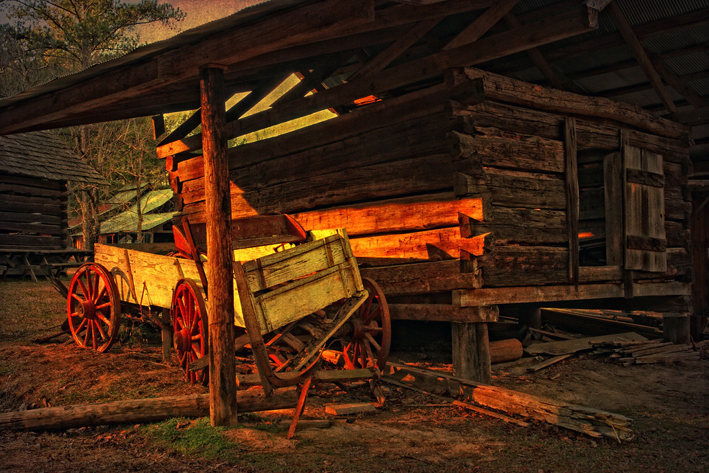
Tannehill State Park
Had to take off somewhere...
19-IMG_3974

Tannehill State Park
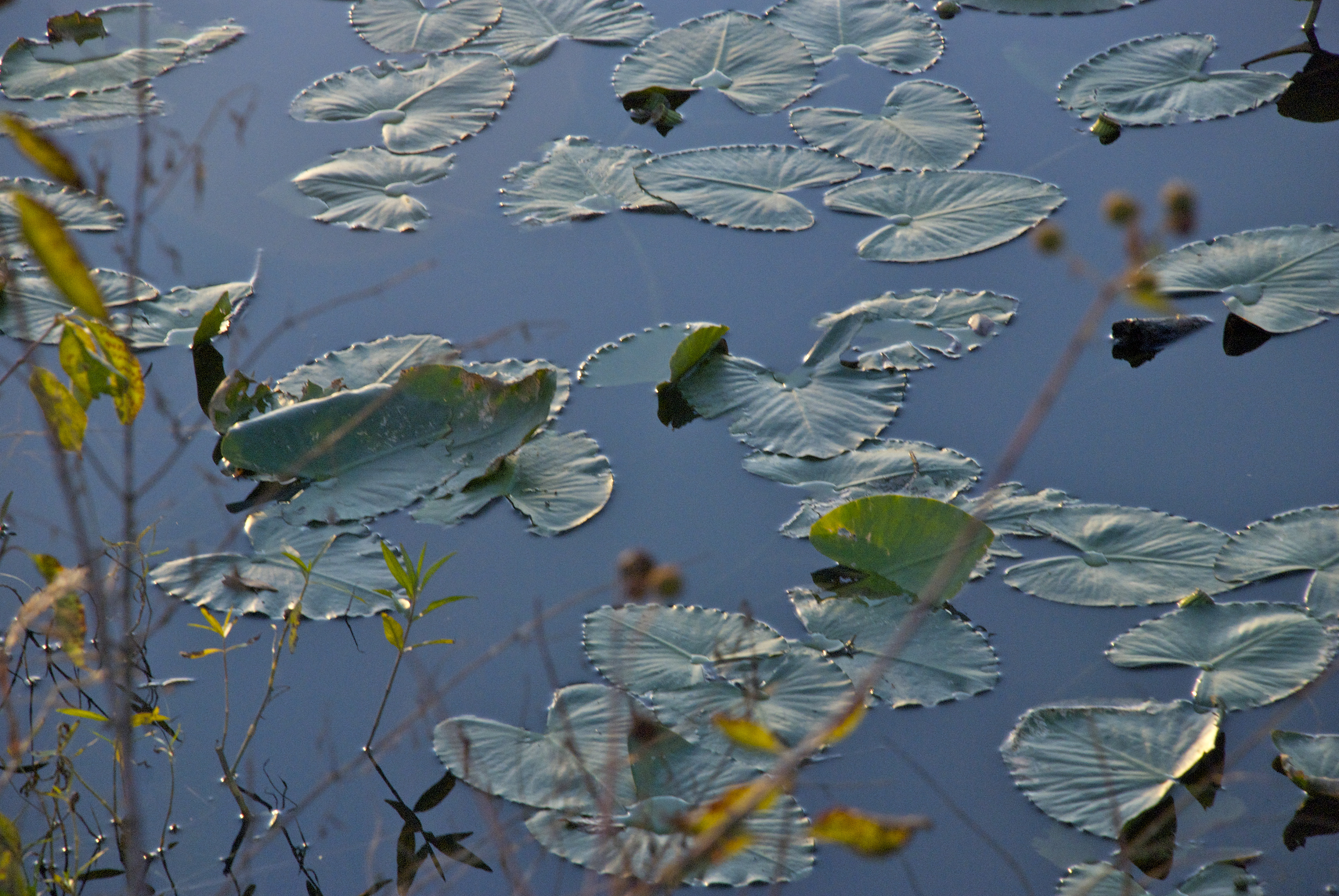
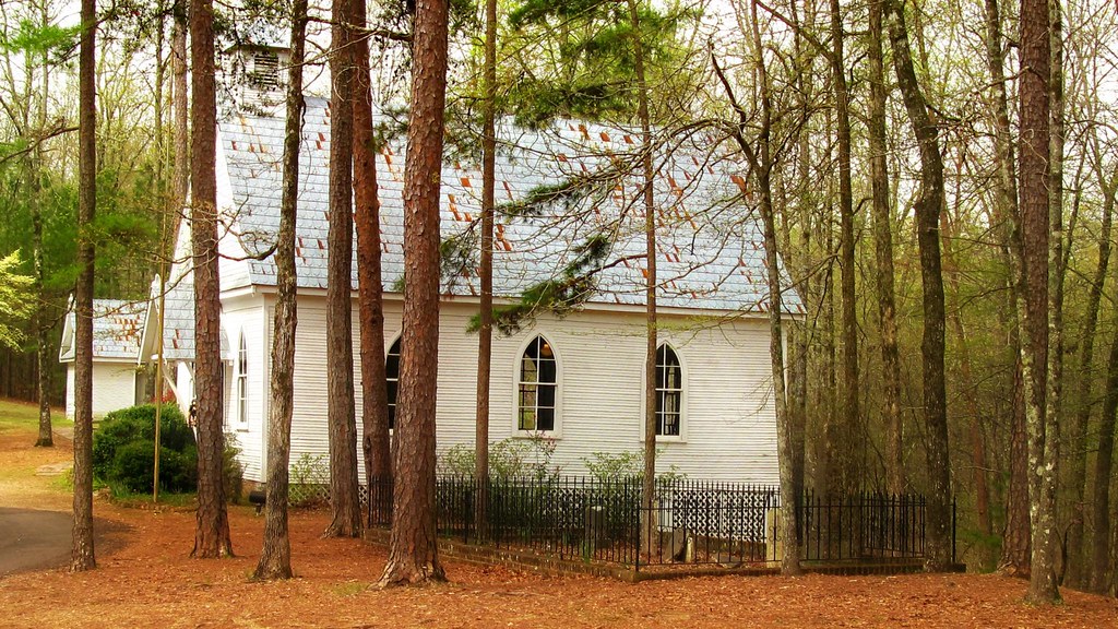
Tannehill Ironworks Historical State Park, Tuscaloosa County (Ala.), 24 February 2011
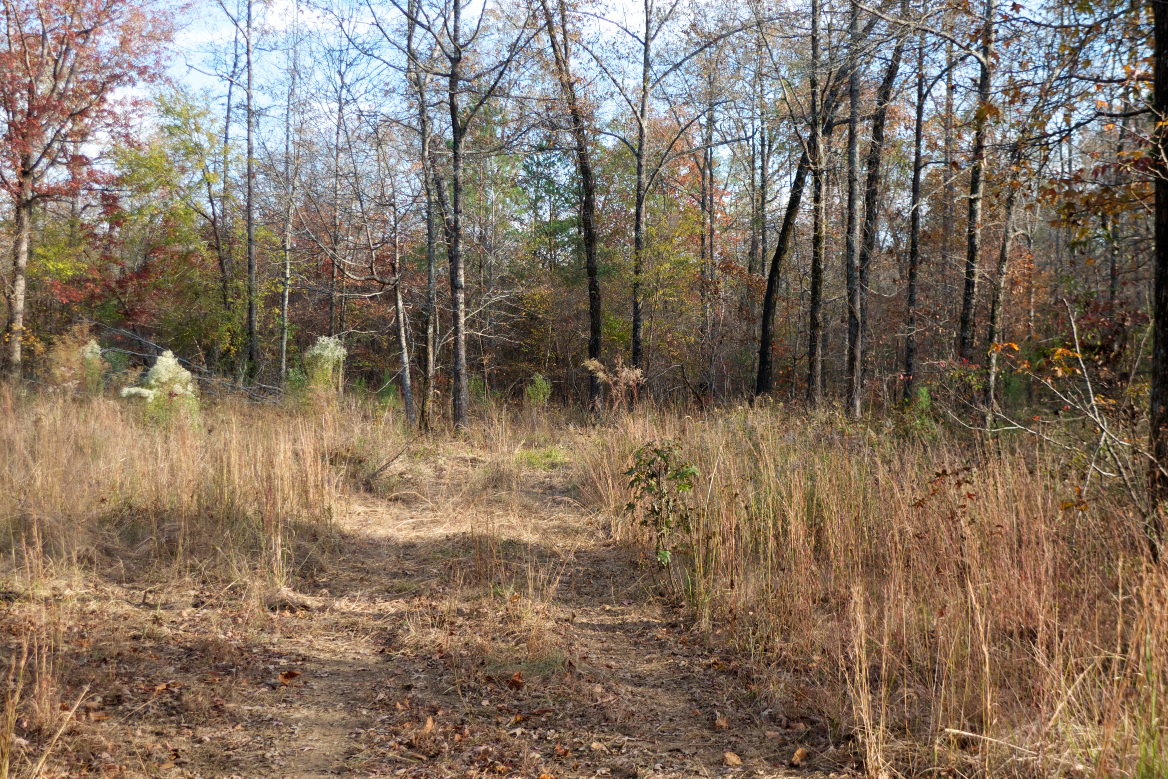
Tannehill State Park
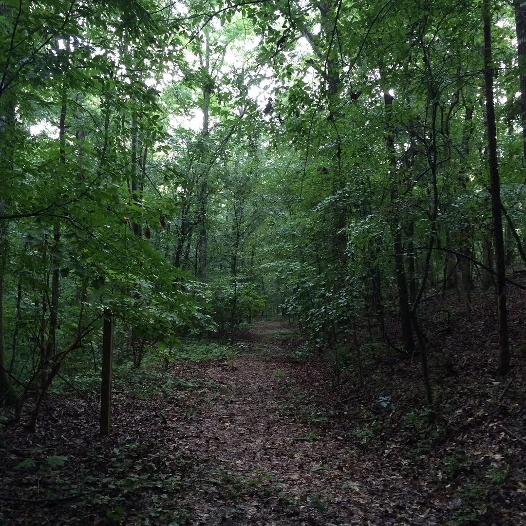
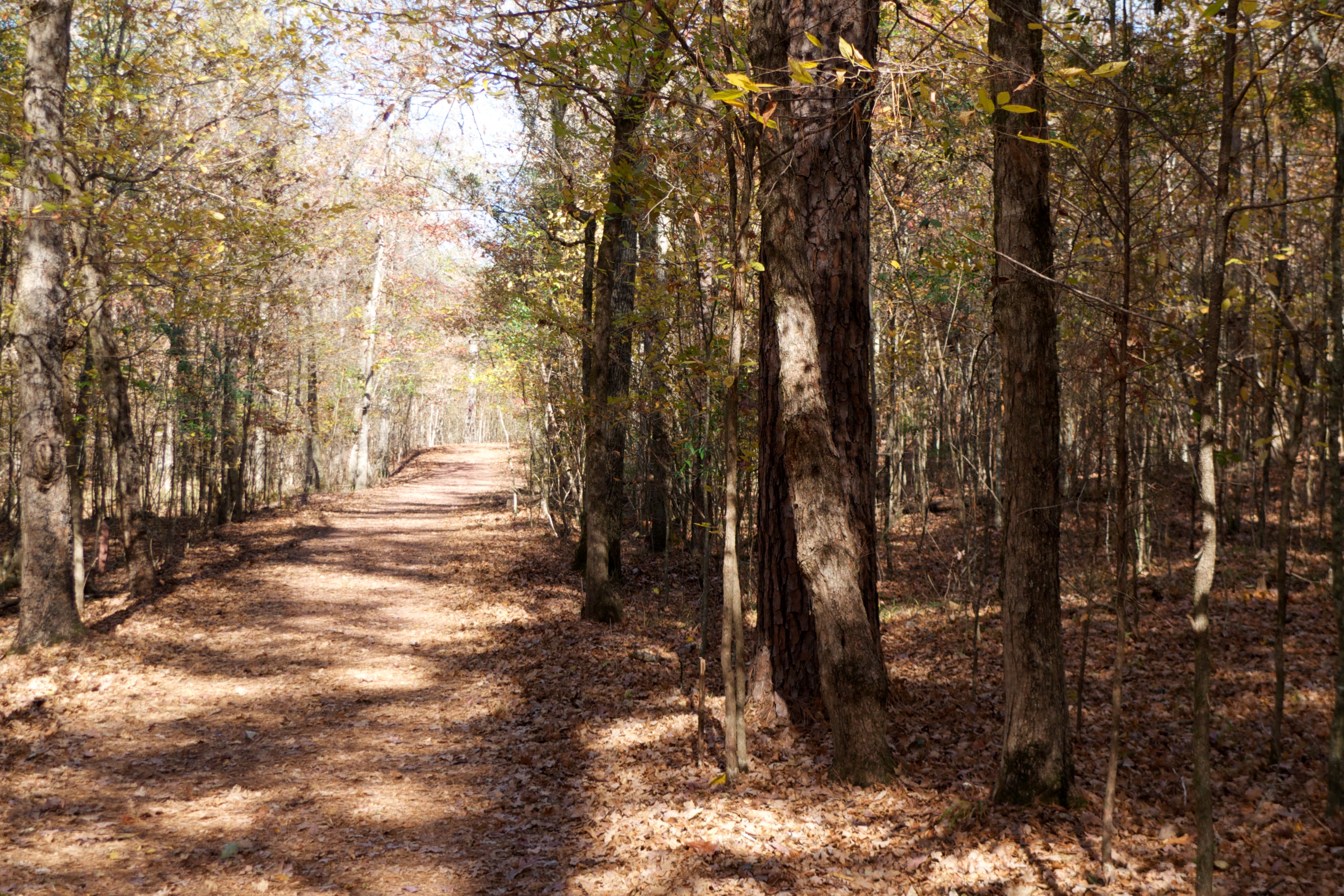
the love and hard work the #LivingRiverRetreat folks are giving to preserve this area is definitely evident and deeply appreciated. we thoroughly enjoyed the short and sweet hike on #RailroadTrail along with the plant and tree ID education we soaked up al

228-001

100404 Tannehill Ironworks Historical Park (Alabama)
100404 Tannehill Ironworks Historical Park (Alabama)
100404 Tannehill Ironworks Historical Park (Alabama)
100404 Tannehill Ironworks Historical Park (Alabama)
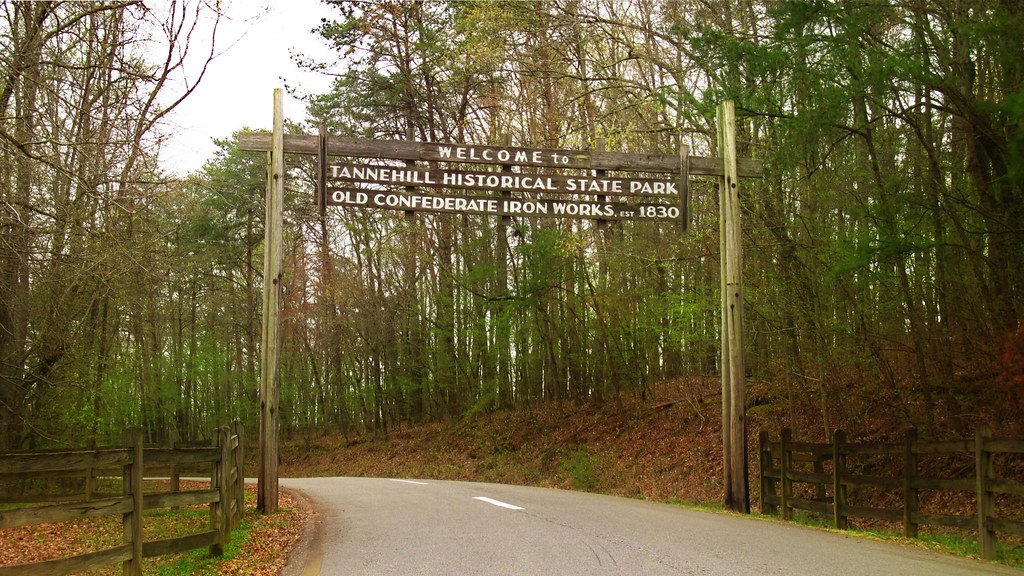
100404 Tannehill Ironworks Historical Park (Alabama)
Topographic Map of Henry Dr, McCalla, AL, USA
Find elevation by address:

Places near Henry Dr, McCalla, AL, USA:
Lake View
Belcher Dr, Lake View, AL, USA
12764 Oak Forest Dr
US-11, McCalla, AL, USA
Mc Calla
Kimbrell Cutoff Rd, McCalla, AL, USA
Johns Rd, Adger, AL, USA
Cathedral Ln, McCalla, AL, USA
Blue Creek Rd, Bessemer, AL, USA
Adger
Johns Rd, Bessemer, AL, USA
Blue Creek Rd, Adger, AL, USA
Bell Hill Rd, Bessemer, AL, USA
McCalla Rd, Bessemer, AL, USA
Canoles Dr, Bessemer, AL, USA
Pocahontas Rd, Bessemer, AL, USA
Johns Rd, Bessemer, AL, USA
5212 Meadow Ridge Trail
8486 Shoreside Ln
Magnolia St, Bessemer, AL, USA
Recent Searches:
- Elevation of Congressional Dr, Stevensville, MD, USA
- Elevation of Bellview Rd, McLean, VA, USA
- Elevation of Stage Island Rd, Chatham, MA, USA
- Elevation of Shibuya Scramble Crossing, 21 Udagawacho, Shibuya City, Tokyo -, Japan
- Elevation of Jadagoniai, Kaunas District Municipality, Lithuania
- Elevation of Pagonija rock, Kranto 7-oji g. 8"N, Kaunas, Lithuania
- Elevation of Co Rd 87, Jamestown, CO, USA
- Elevation of Tenjo, Cundinamarca, Colombia
- Elevation of Côte-des-Neiges, Montreal, QC H4A 3J6, Canada
- Elevation of Bobcat Dr, Helena, MT, USA