Elevation of Hennepin, OK, USA
Location: United States > Oklahoma > Carter County >
Longitude: -97.347330
Latitude: 34.5087568
Elevation: 285m / 935feet
Barometric Pressure: 98KPa
Elevation Map:
Satellite Map:
Related Photos:

Turner Falls, OK USA

the opening

looking out
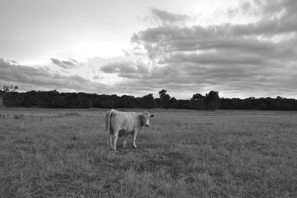
Cow - Version 2
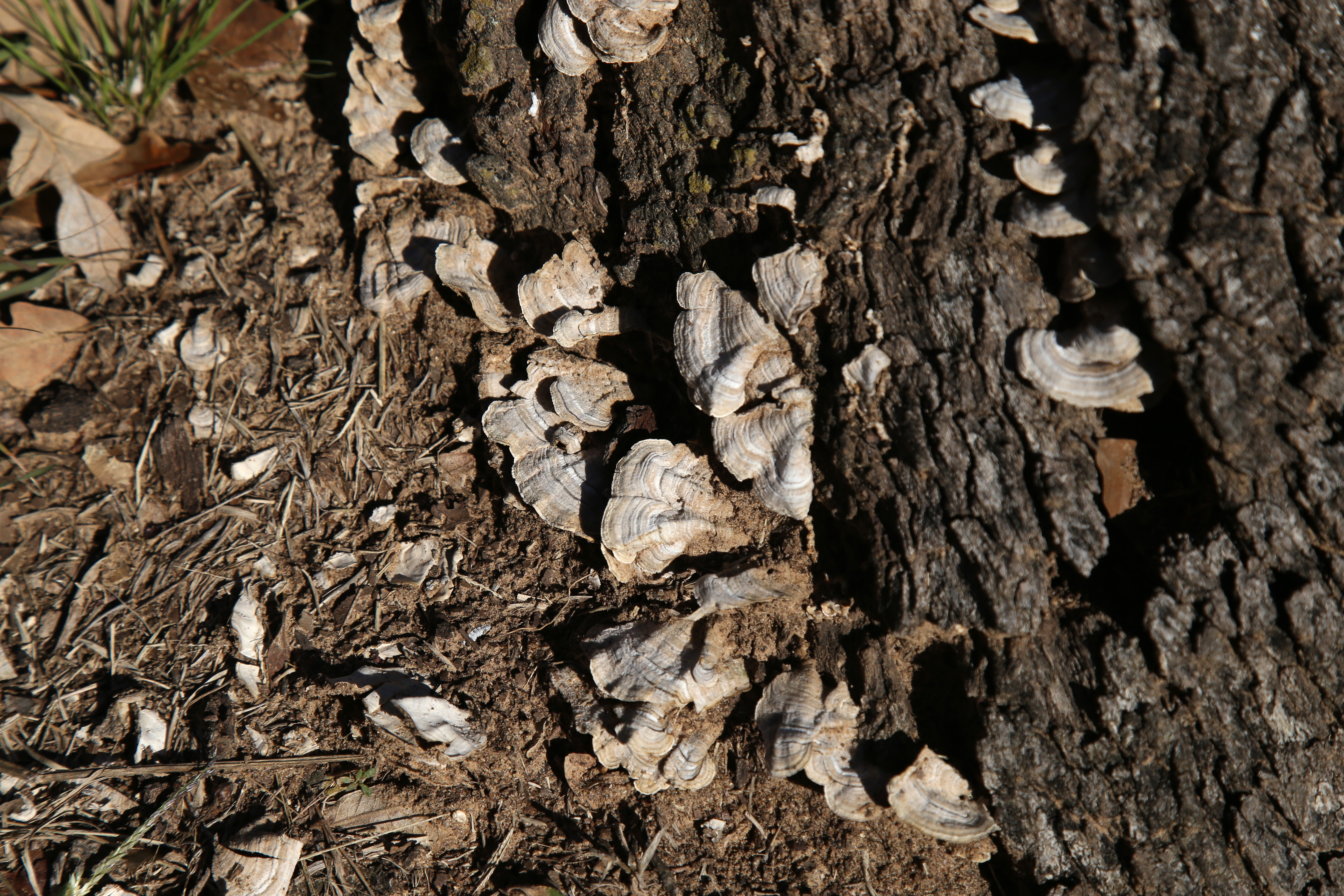
Turkey Tail mushroom_6D3229

head lamps

cave dweller

Jön

Tussy Supercell

Tussy Supercell

Embedded Danger
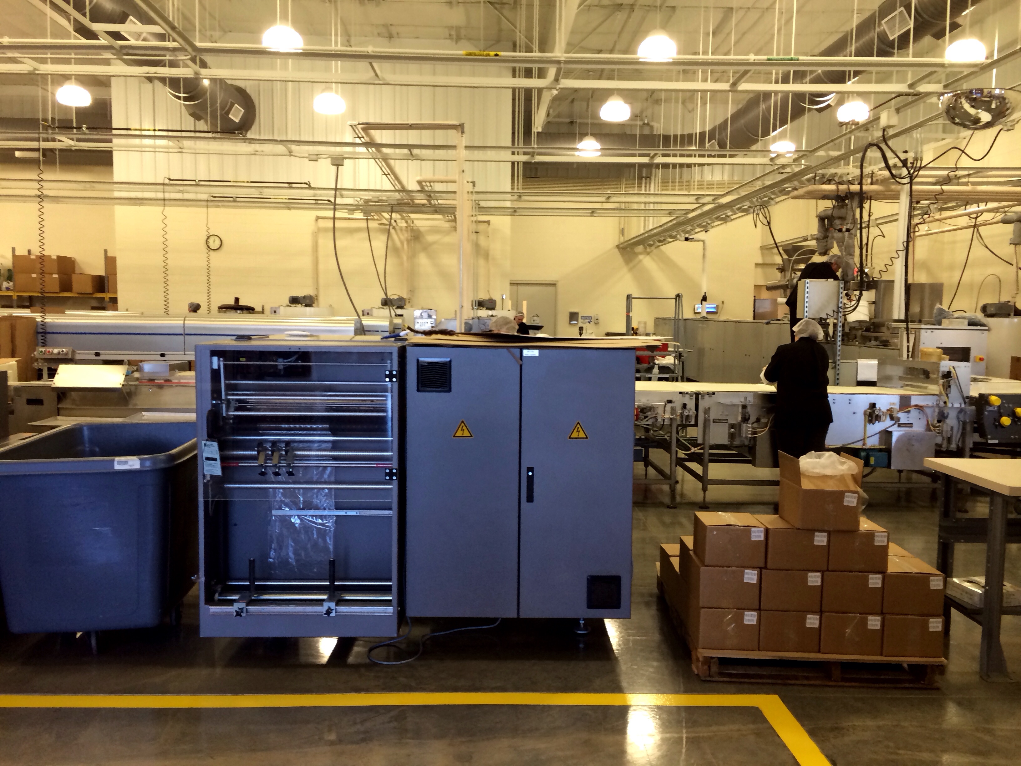
Chickasaw chocolate factory

Post Office 73046 (Hennepin, Oklahoma)

Self Portrait on the road. #roadtrip

Chocolate stop on the way south. #sweet #oklahoma
Topographic Map of Hennepin, OK, USA
Find elevation by address:

Places in Hennepin, OK, USA:
Places near Hennepin, OK, USA:
5 N County Line Rd, Hennepin, OK, USA
Samedan Rd, Ardmore, OK, USA
Arbuckle Mountains
Ranch Rd, Graham, OK, USA
Graham
4th St, Graham, OK, USA
Turner Falls
Garvin County
3165 Jollyville Rd
Honey Creek Drive
Wynnewood
Davis
OK-77D, Davis, OK, USA
Falls Creek Baptist Conference Center
N Newport Rd, Lone Grove, OK, USA
Five Lakes Property Owners
Murray County
Carter County
Velma
4th St, Velma, OK, USA
Recent Searches:
- Elevation of Corso Fratelli Cairoli, 35, Macerata MC, Italy
- Elevation of Tallevast Rd, Sarasota, FL, USA
- Elevation of 4th St E, Sonoma, CA, USA
- Elevation of Black Hollow Rd, Pennsdale, PA, USA
- Elevation of Oakland Ave, Williamsport, PA, USA
- Elevation of Pedrógão Grande, Portugal
- Elevation of Klee Dr, Martinsburg, WV, USA
- Elevation of Via Roma, Pieranica CR, Italy
- Elevation of Tavkvetili Mountain, Georgia
- Elevation of Hartfords Bluff Cir, Mt Pleasant, SC, USA