Elevation of Heavenly Ridge Ln, Richmond, CA, USA
Location: United States > California > Contra Costa County > Richmond > El Sobrante Hills >
Longitude: -122.27653
Latitude: 37.9689507
Elevation: 144m / 472feet
Barometric Pressure: 100KPa
Elevation Map:
Satellite Map:
Related Photos:
Foggy Sunset

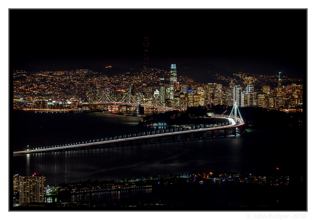
The San Francisco Bay Bridge
Twilight at the Golden Gate

Railway to Nowhere

San Pablo View of San Francisco

Alhambra Creek Sunset View (Explored)

San Francisco Skyline from Berkeley Marina

The fog kept on rolling in
The Goddess Awakens
ATSF 2857 West at Collier, CA

The Shadow Curtain

San Francisco Bay from Claremont Hills

parallel streams

Morning Fog over San Francisco Bay

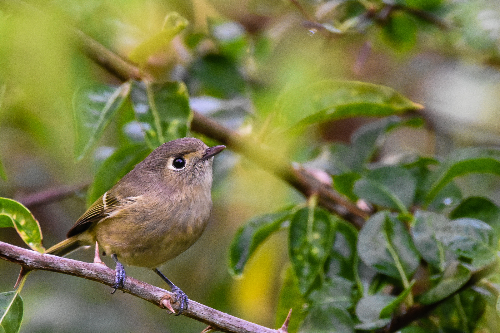
Hermit Thrush

Carquinez Sunset

Halloween Blue Moon

Sunrise Octet

Morning Fog over San Francisco Bay

Point Molate

Pacific-slope Flycatcher

Towering above the clouds

Häppy first day of fall!
Clarity after the Storm

Morning Over the City By The Bay

Bridge to Richmond-- the bridge

Carquinez Crockett Reflections

Valley Flyer Eastbound

Green and Brown with Bikes

Morning View

lead us out of the fog

Aerial Twilight
Hutton's Vireo

Fox Sparrow
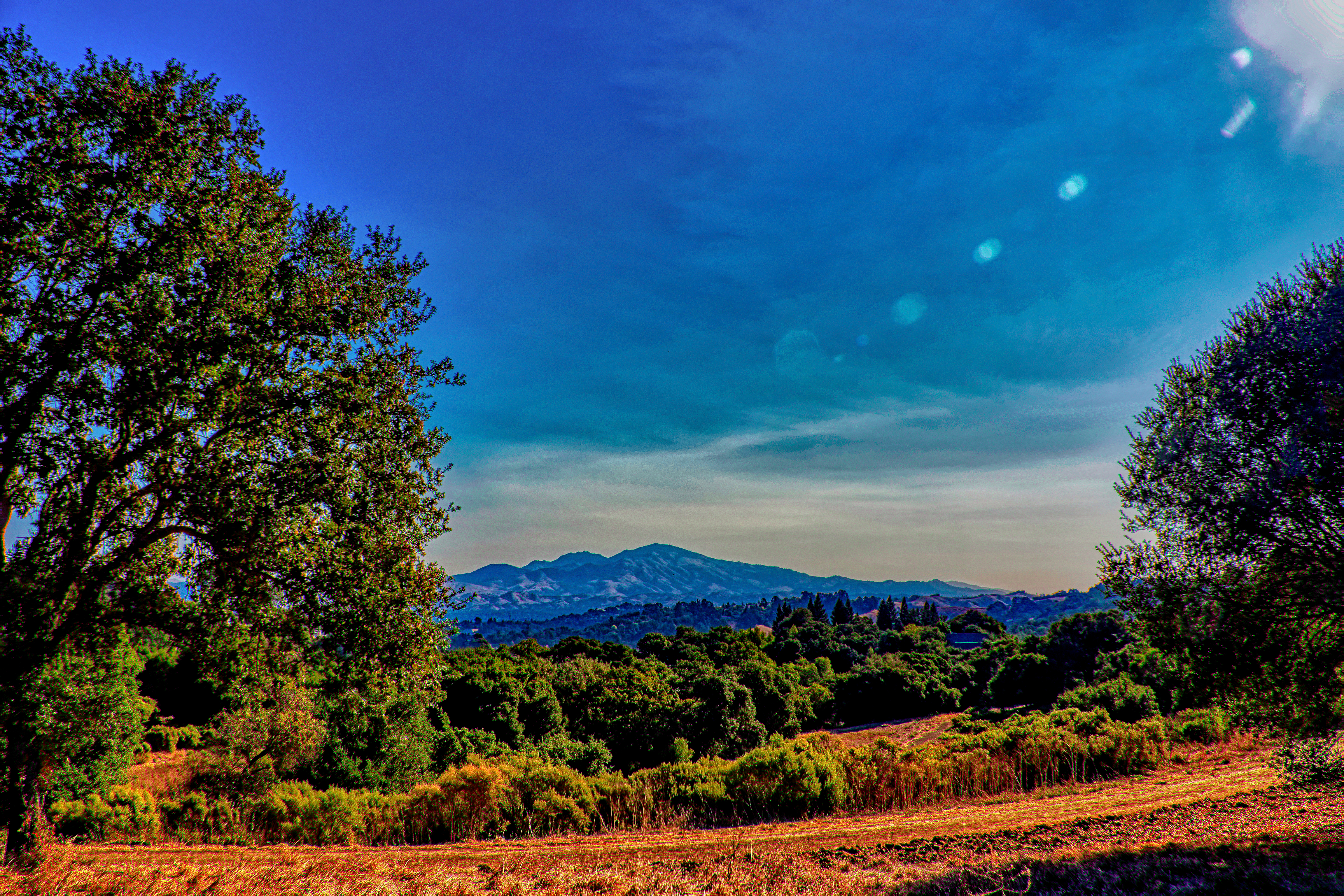
Mt. Diablo View

BNSF Empty Vehicle Train at Christie, CA

carquinez strait gateway

Lincoln's Sparrow

centered sunset 13jan2016 3/3

Berkeley hills
Topographic Map of Heavenly Ridge Ln, Richmond, CA, USA
Find elevation by address:

Places near Heavenly Ridge Ln, Richmond, CA, USA:
5210 Heavenly Ridge Ln
3752 Painted Pony Rd
May Valley
3304 Diablo Cir
Appian Way, El Sobrante, CA, USA
El Sobrante
2615 Sheldon Dr
2209 Sarah Ct
817 Marin Rd
1014 Francisca Ct
903 Bernardo Ct
1286 Kilcrease Cir
69 Ben Lomond
Pear Street Bistro
2 Glenwood
Bear Claw Bakery & Cafe
Refugio Valley Park
Pinole
983 Kittery Way
1835 Primrose Ln
Recent Searches:
- Elevation of Congressional Dr, Stevensville, MD, USA
- Elevation of Bellview Rd, McLean, VA, USA
- Elevation of Stage Island Rd, Chatham, MA, USA
- Elevation of Shibuya Scramble Crossing, 21 Udagawacho, Shibuya City, Tokyo -, Japan
- Elevation of Jadagoniai, Kaunas District Municipality, Lithuania
- Elevation of Pagonija rock, Kranto 7-oji g. 8"N, Kaunas, Lithuania
- Elevation of Co Rd 87, Jamestown, CO, USA
- Elevation of Tenjo, Cundinamarca, Colombia
- Elevation of Côte-des-Neiges, Montreal, QC H4A 3J6, Canada
- Elevation of Bobcat Dr, Helena, MT, USA