Elevation of Hazel, KY, USA
Location: United States > Tennessee > Henry County >
Longitude: -88.325874
Latitude: 36.5022783
Elevation: 171m / 561feet
Barometric Pressure: 99KPa
Elevation Map:
Satellite Map:
Related Photos:

Another view of the head
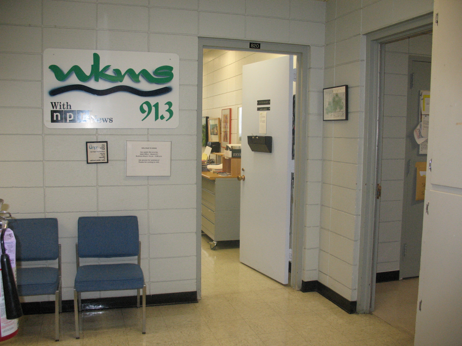
Entrance area to WKMS
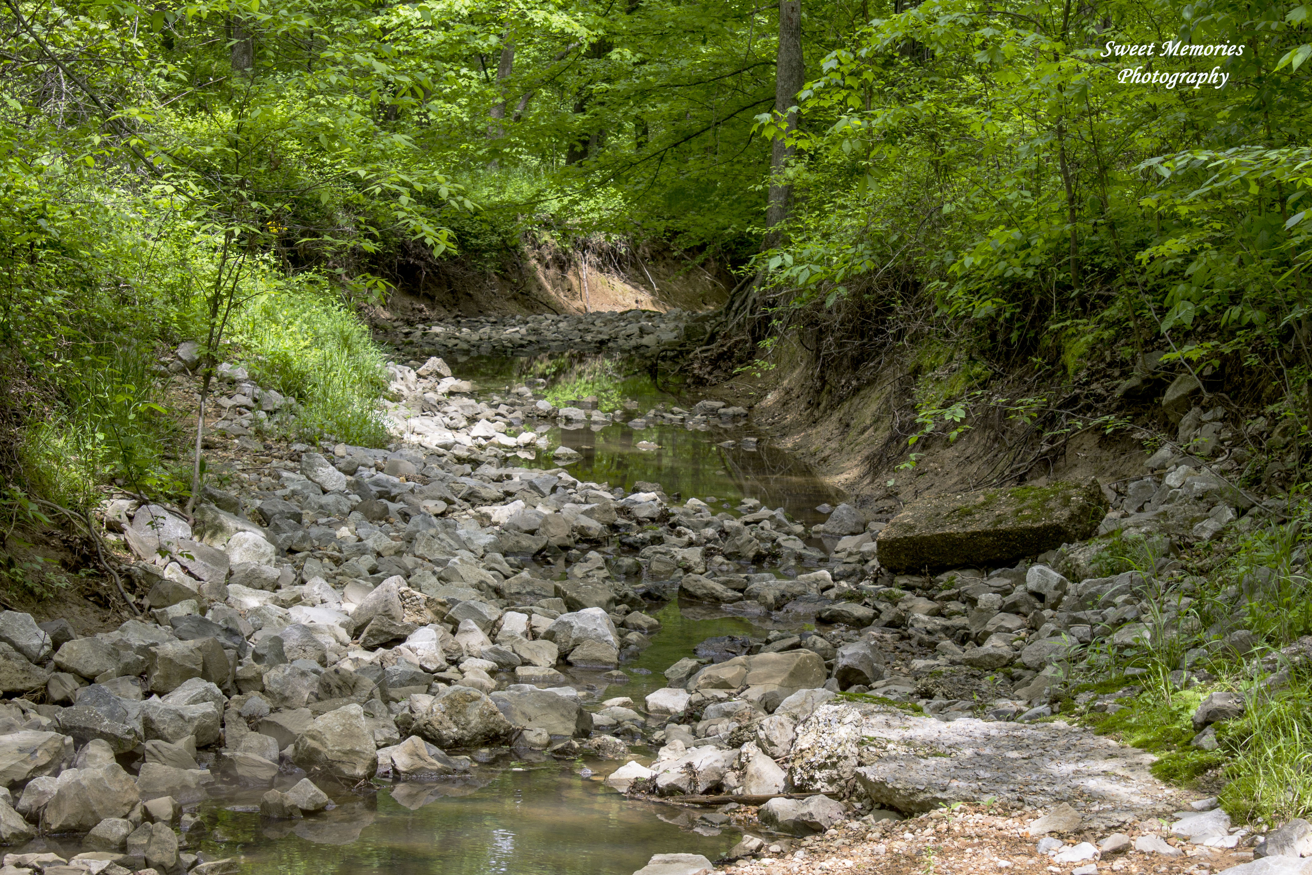
Rock Creek
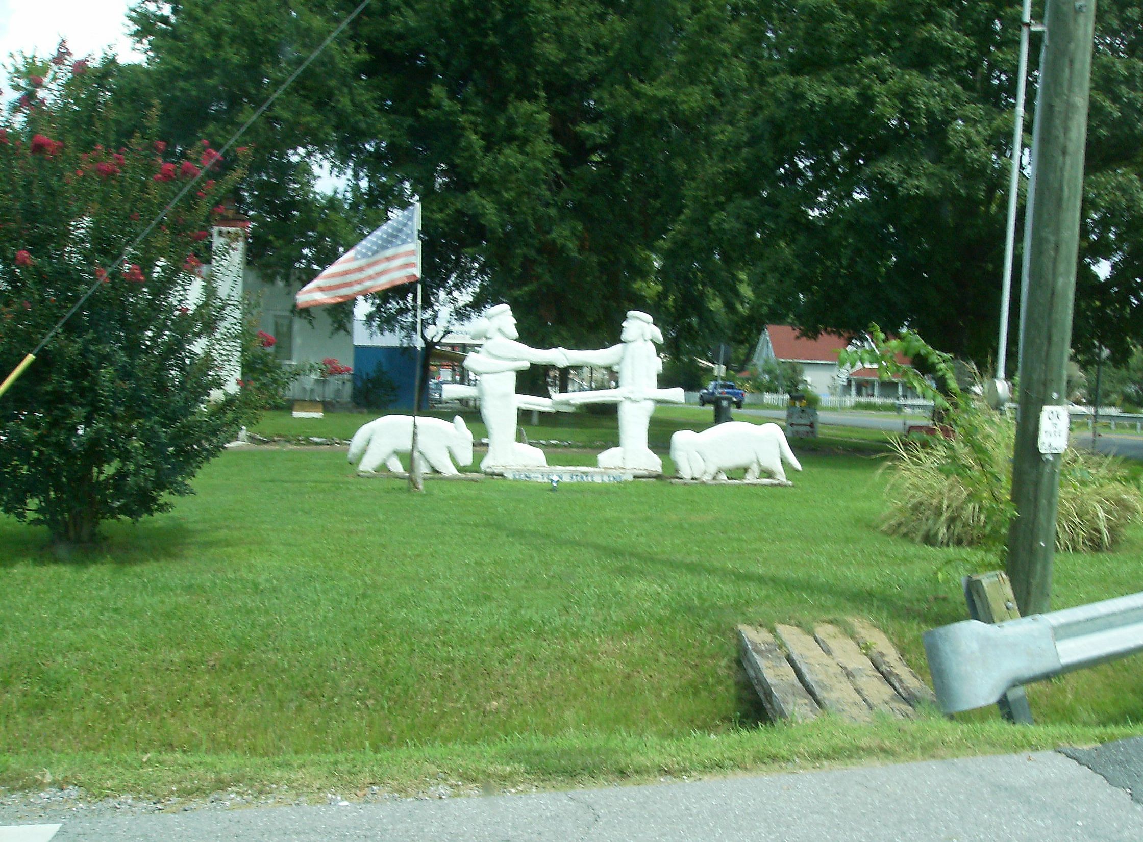
Ken-Tenn State Line
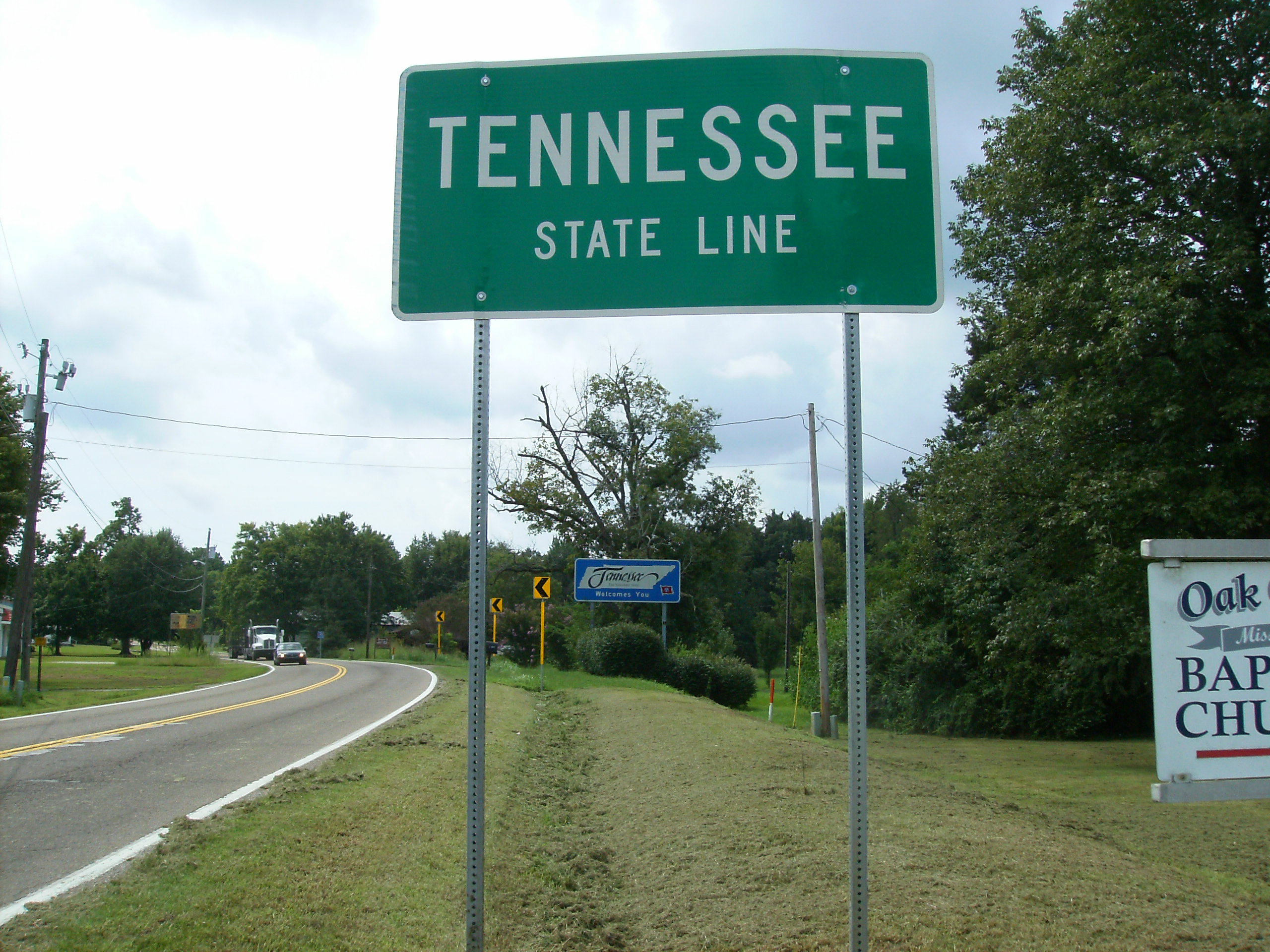
KY-TN Line Hazel KY
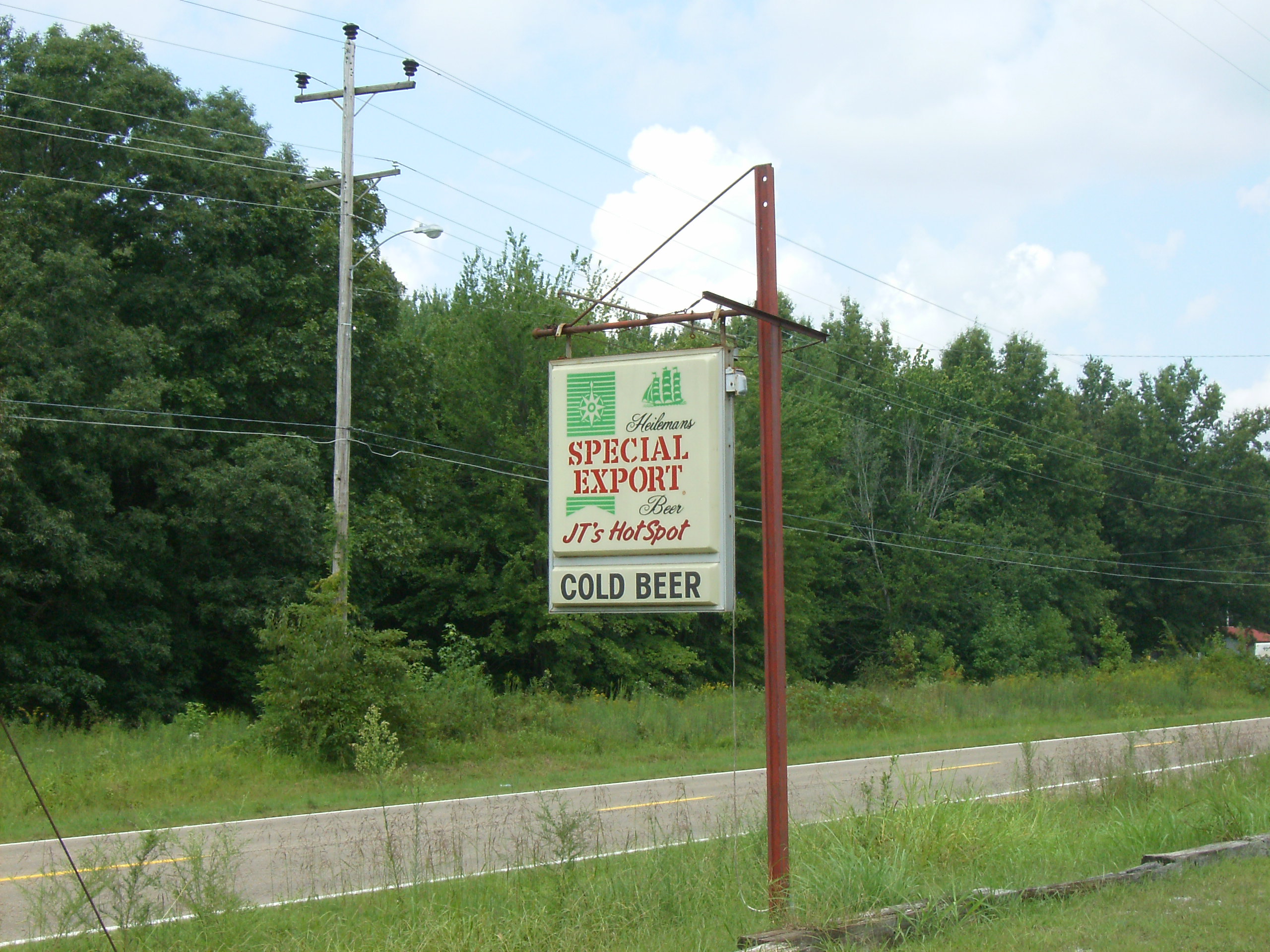
Special Ex at JT's Hot Spot
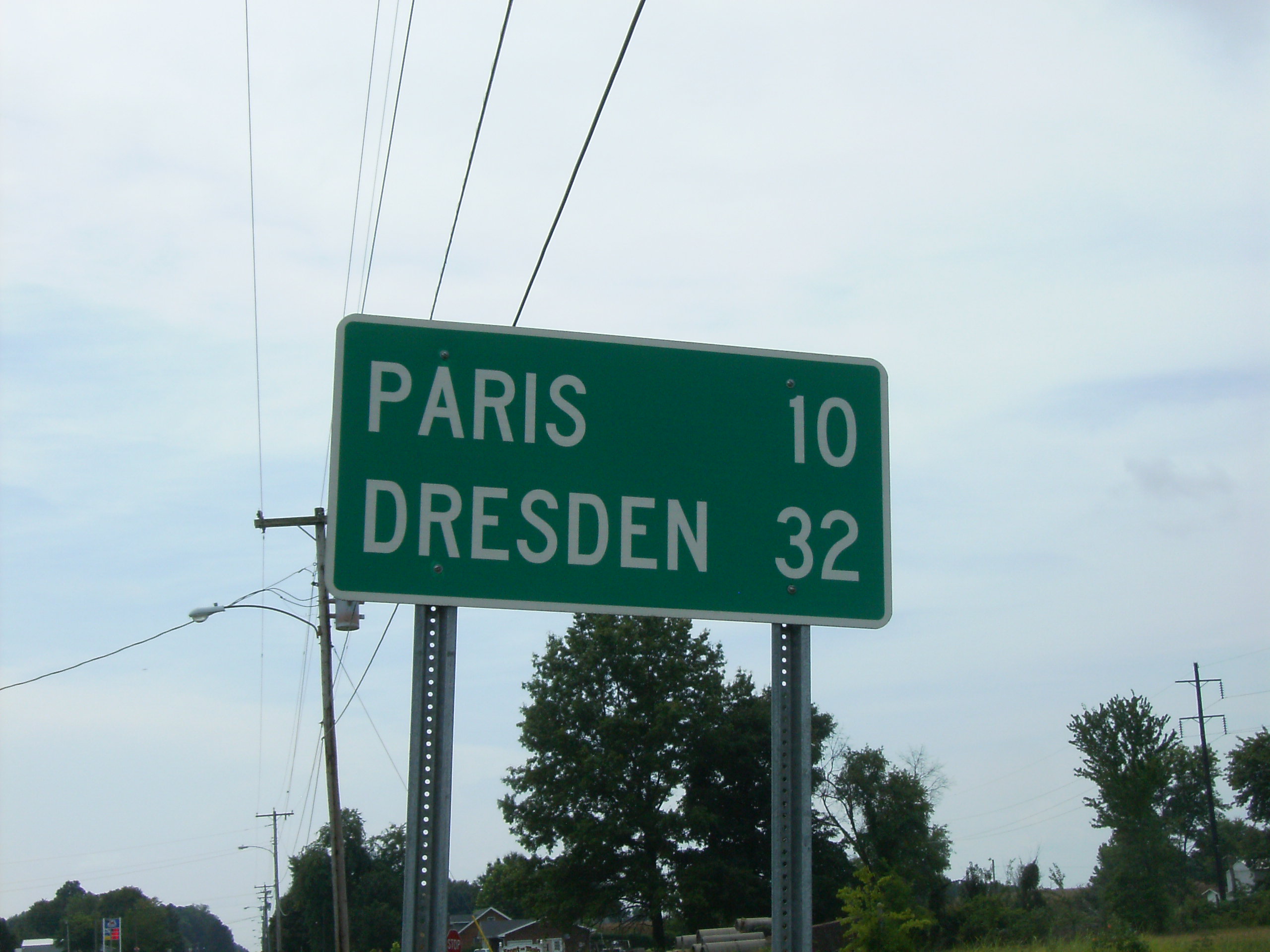
To Paris, then to Dresden

Welcome to Kentucky
Topographic Map of Hazel, KY, USA
Find elevation by address:

Places in Hazel, KY, USA:
Places near Hazel, KY, USA:
Center St, Hazel, KY, USA
State Hwy, Hazel, TN, USA
Puryear
5735 Jones Mill Crossland Rd
1370 Caldwell Rd
1370 Old Caldwell Rd
211 Pete Valentine Rd
1280 Rowe School Rd
Buchanan
1385 Whitlock Paris Rd
1254 Swor Still Rd
671 Buchanan Rd
Artesian Dr, New Concord, KY, USA
N Market St, Paris, TN, USA
Henry County
Glenhaven Rd, Paris, TN, USA
King Arthur Drive
Ellis Dr, Paris, TN, USA
Paris
New Boston Rd, Cottage Grove, TN, USA
Recent Searches:
- Elevation of 4 Vale Rd, Sheffield S3 9QX, UK
- Elevation of Keene Point Drive, Keene Point Dr, Grant, AL, USA
- Elevation of State St, Zanesville, OH, USA
- Elevation of Austin Stone Dr, Haslet, TX, USA
- Elevation of Bydgoszcz, Poland
- Elevation of Bydgoszcz, Poland
- Elevation of Calais Dr, Del Mar, CA, USA
- Elevation of Placer Mine Ln, West Jordan, UT, USA
- Elevation of E 63rd St, New York, NY, USA
- Elevation of Elk City, OK, USA