Elevation of Hawkinsville, GA, USA
Location: United States > Georgia > Pulaski County >
Longitude: -83.472117
Latitude: 32.2837731
Elevation: 79m / 259feet
Barometric Pressure: 100KPa
Elevation Map:
Satellite Map:
Related Photos:

Lake in December
Lake in December
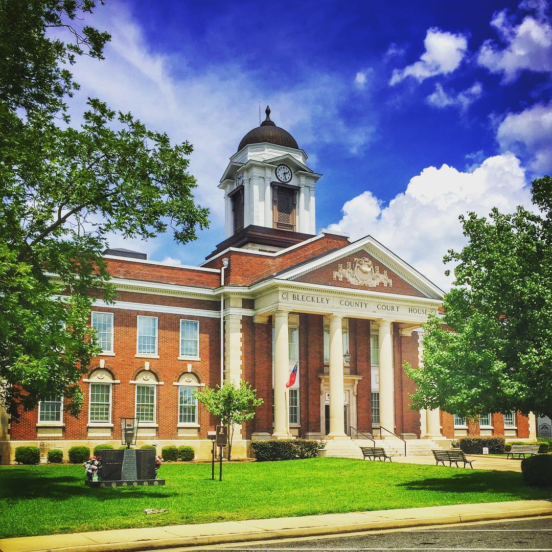
Bleckley County Court House, Cochran, Georgia #bleckleycounty #courthouse #georgia #georgiaonmymind #exploregeorgia #landscape #landmark #worldclassshots #worldshotz #thesouthernfront #architecture #building #structure #view #scene #scenery #thegreatercol
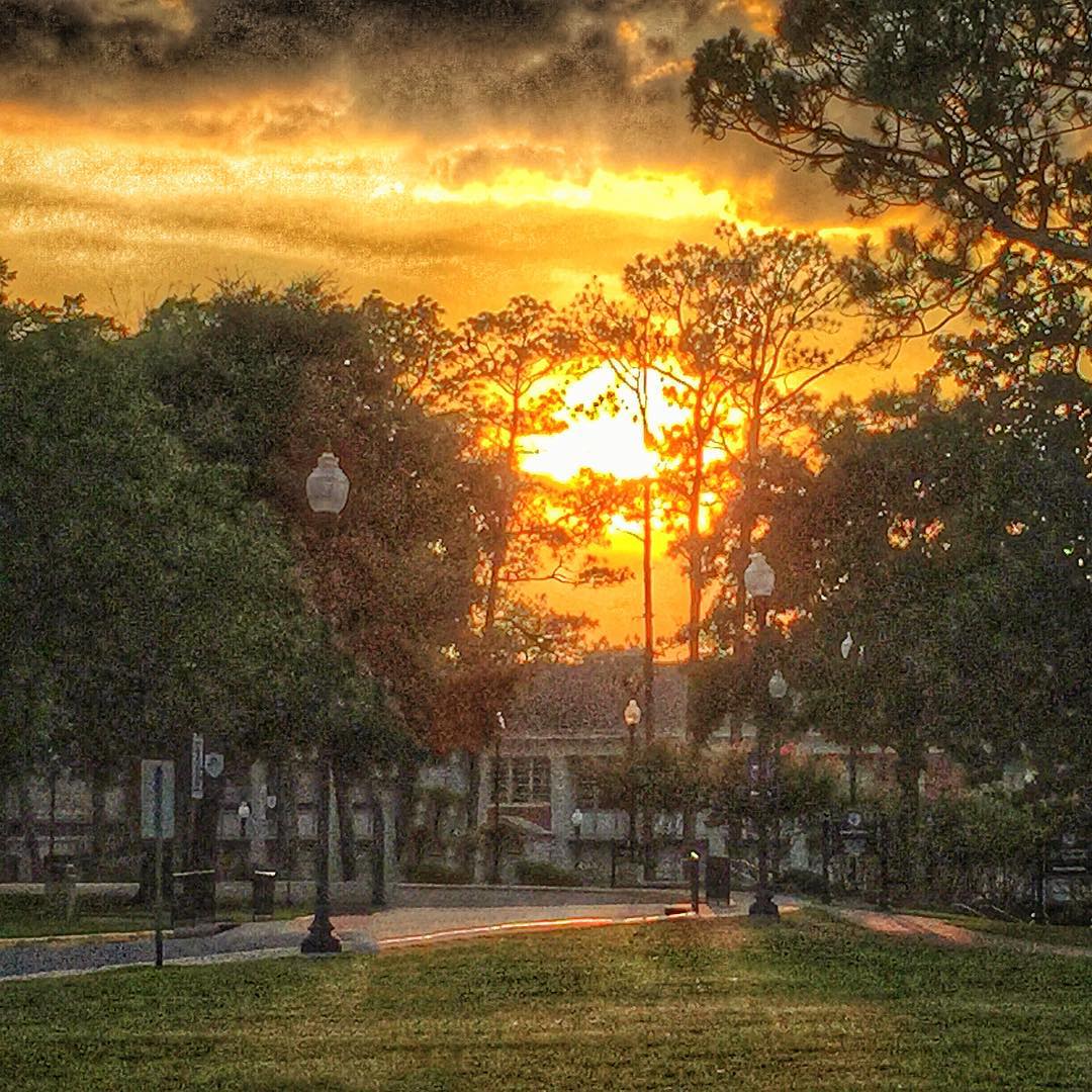
"Sunset" - Cochran, Georgia #sunset #cochrangeorgia #georgia #georgiaonmymind #bleckleycounty #scene #scenery #worldclassshots #exploregeorgia #thesouthernfront #mgsc #landmark #landscape #view #theseldomseen #theamericancollective #twilight #dusk
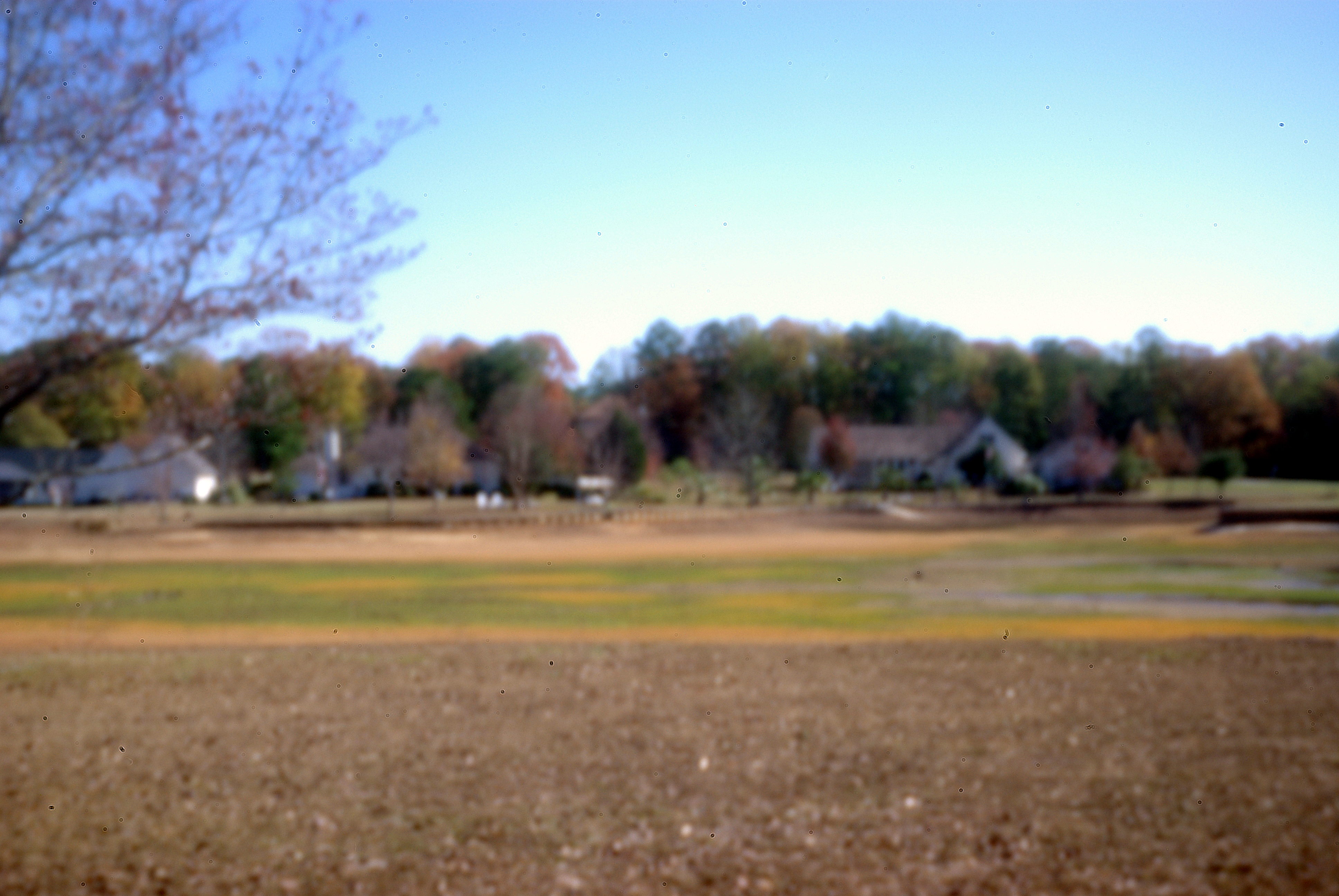
middle-of-nowhere, ga

State Route 26 Outside of Hawkinsville, Georgia
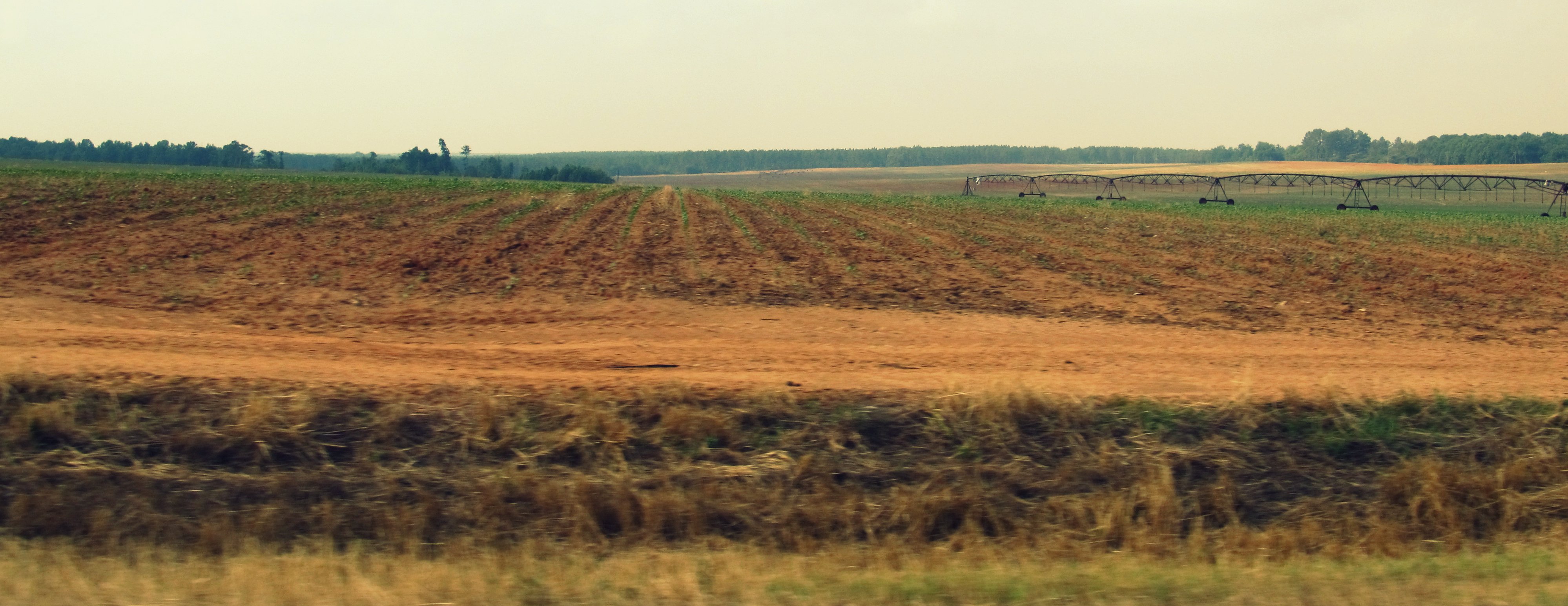
State Route 26 Between Hawkinsville and Montezuma, Georgia
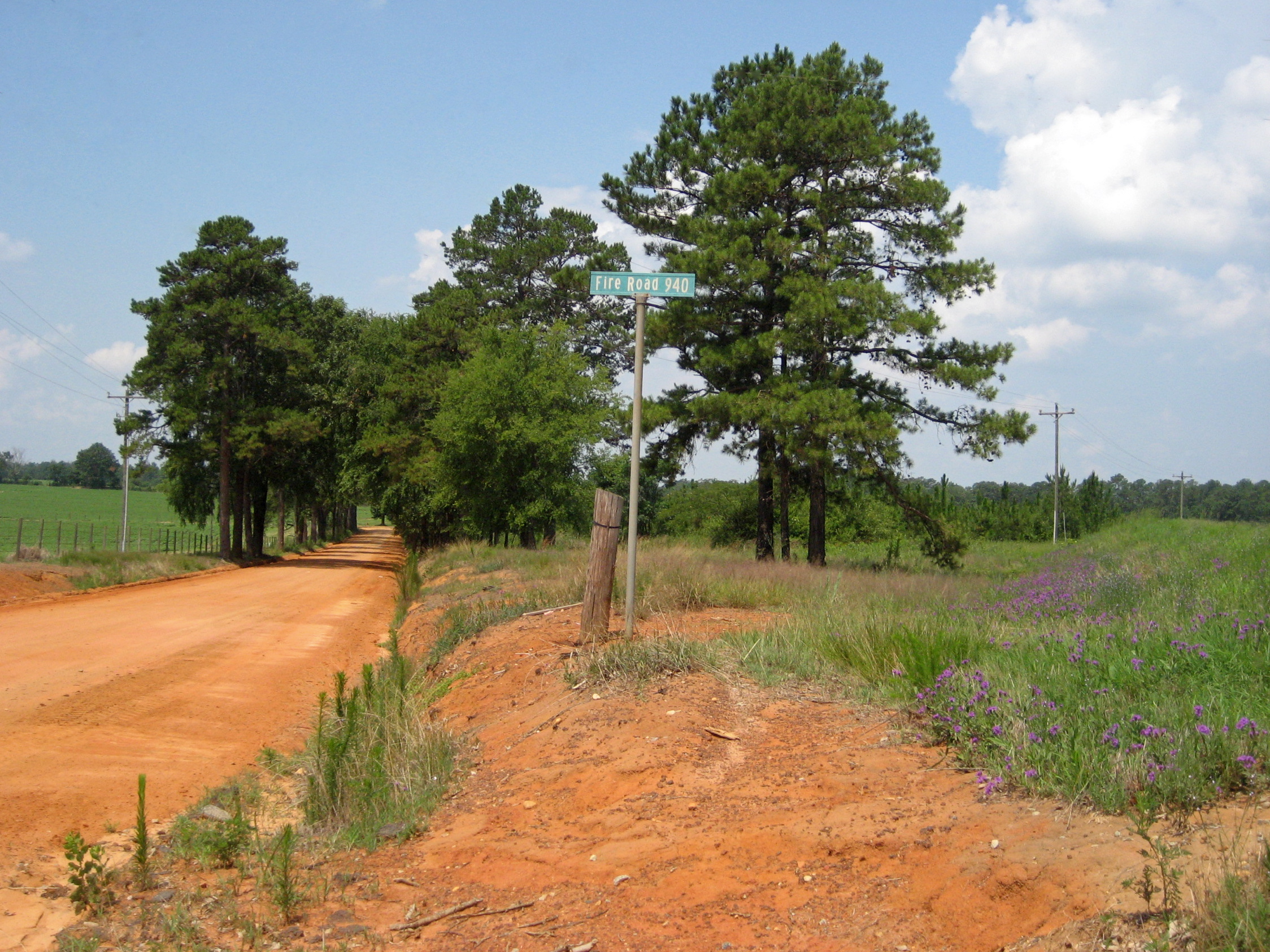
Georgia Pines

Ocmulgee Public Fishing Area
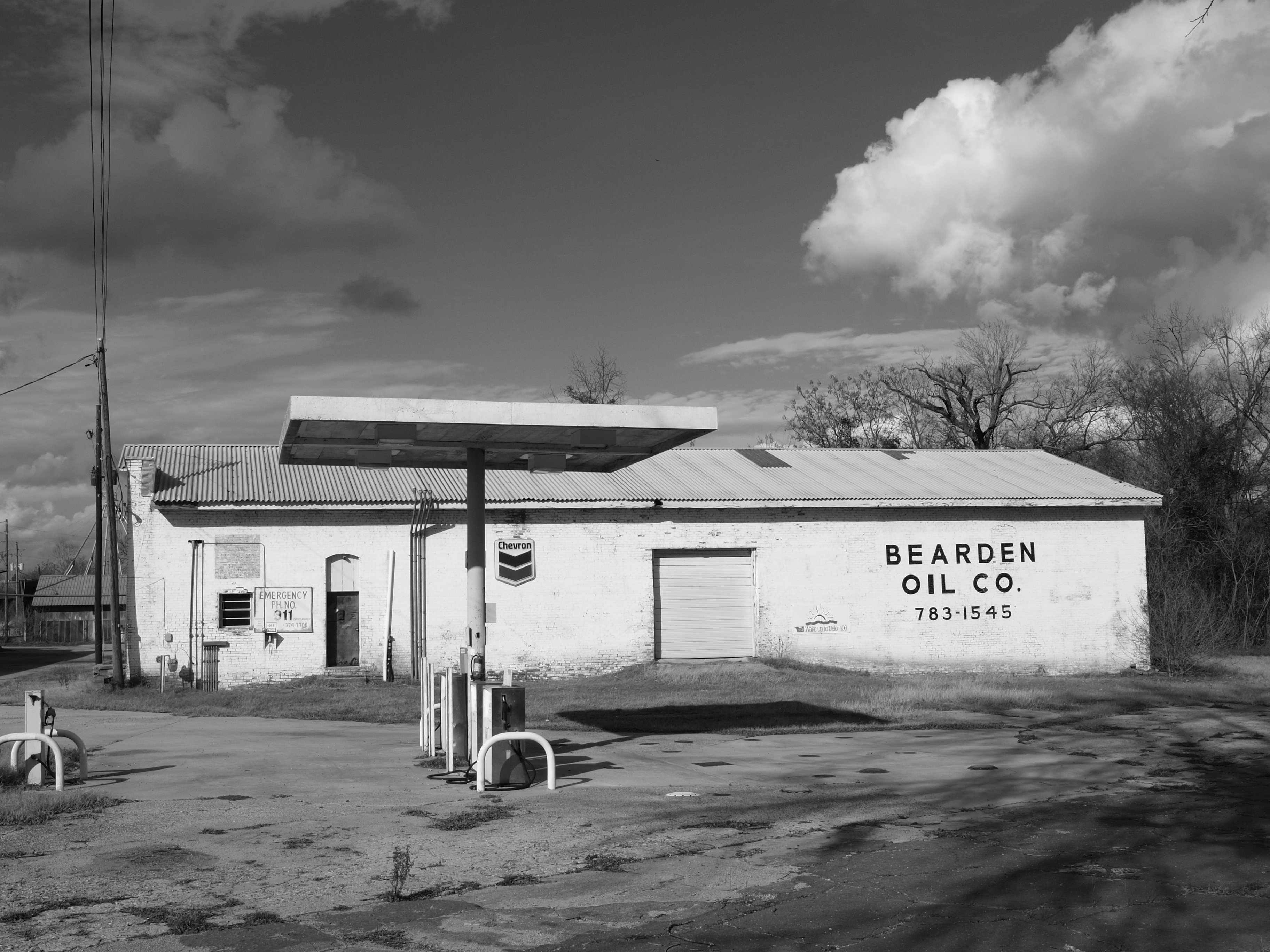
Bearden Oil

Ocmulgee Public Fishing Area
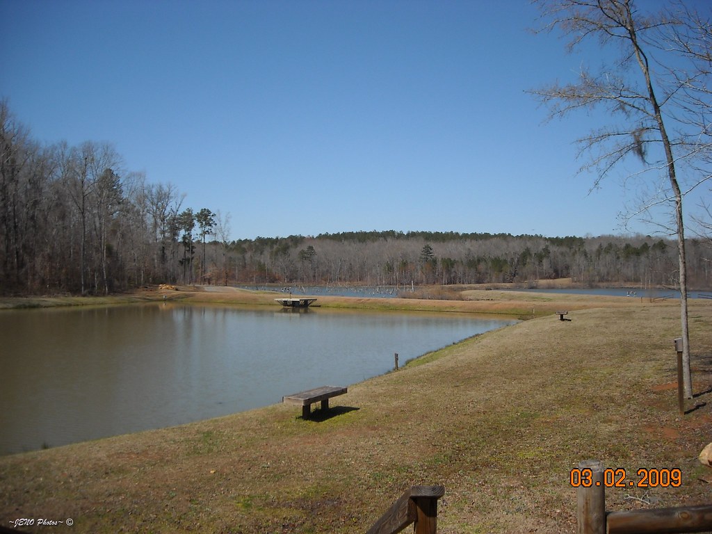
Ocmulgee Public Fishing Area Pond
Topographic Map of Hawkinsville, GA, USA
Find elevation by address:

Places in Hawkinsville, GA, USA:
Places near Hawkinsville, GA, USA:
Clark Funeral Home & Middle Georgia Crematory
77 Progress Ave
80 Cochran Hwy, Hawkinsville, GA, USA
Vienna Hwy, Hawkinsville, GA, USA
Gooseneck Rd, Hawkinsville, GA, USA
Pulaski County
767 Hardy Rd
Empire
Church St, Cochran, GA, USA
Gresston Baptist Rd, Eastman, GA, USA
Gresston
Log Cabin Road
US-23, Eastman, GA, USA
Elko
Eastman Cochran Hwy, Eastman, GA, USA
Robert Rozier Road
Unadilla
Pine St, Unadilla, GA, USA
Pinehurst
Fullington Ave S, Pinehurst, GA, USA
Recent Searches:
- Elevation of Vista Blvd, Sparks, NV, USA
- Elevation of 15th Ave SE, St. Petersburg, FL, USA
- Elevation of Beall Road, Beall Rd, Florida, USA
- Elevation of Leguwa, Nepal
- Elevation of County Rd, Enterprise, AL, USA
- Elevation of Kolchuginsky District, Vladimir Oblast, Russia
- Elevation of Shustino, Vladimir Oblast, Russia
- Elevation of Lampiasi St, Sarasota, FL, USA
- Elevation of Elwyn Dr, Roanoke Rapids, NC, USA
- Elevation of Congressional Dr, Stevensville, MD, USA