Elevation of Hawkins Rd, Buckhannon, WV, USA
Location: United States > West Virginia > Upshur County > Second >
Longitude: -80.135029
Latitude: 38.936234
Elevation: 647m / 2123feet
Barometric Pressure: 94KPa
Elevation Map:
Satellite Map:
Related Photos:
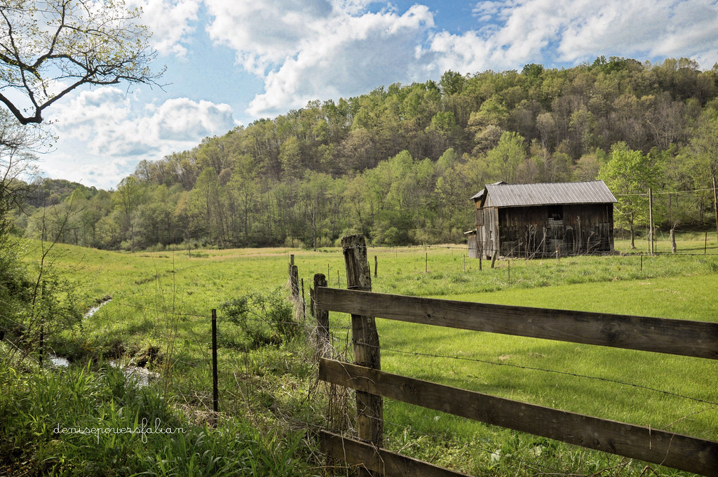
And a Happy Fence Friday to All
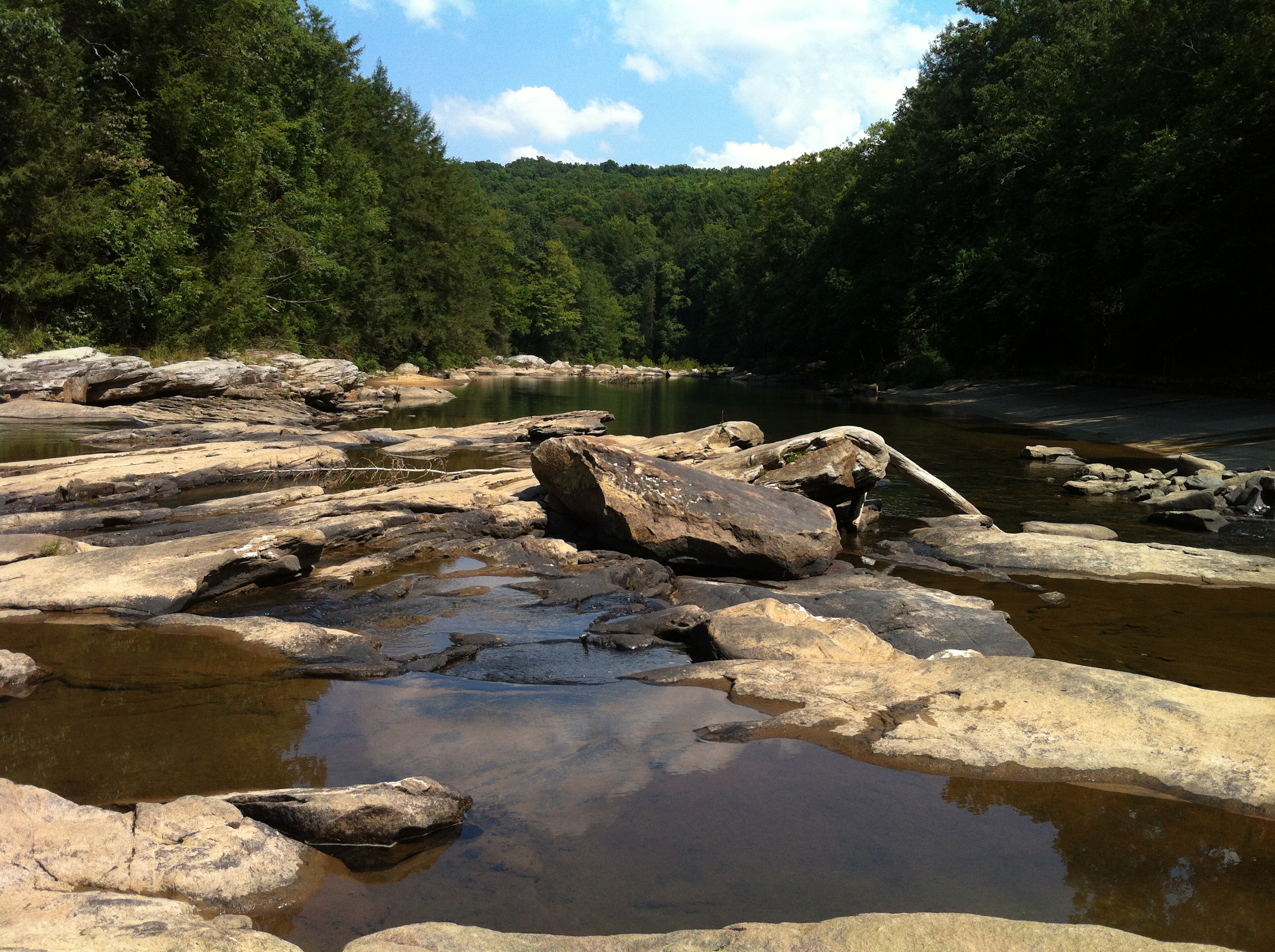
Audra State Park

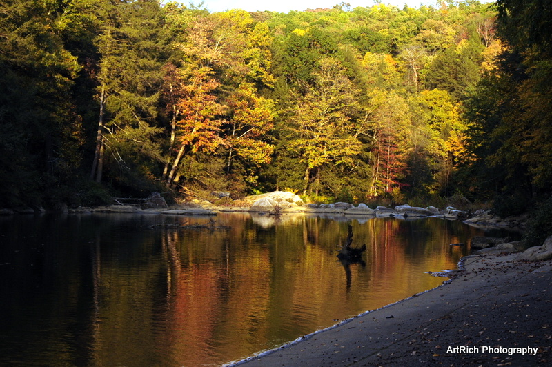
Greens of Autumn
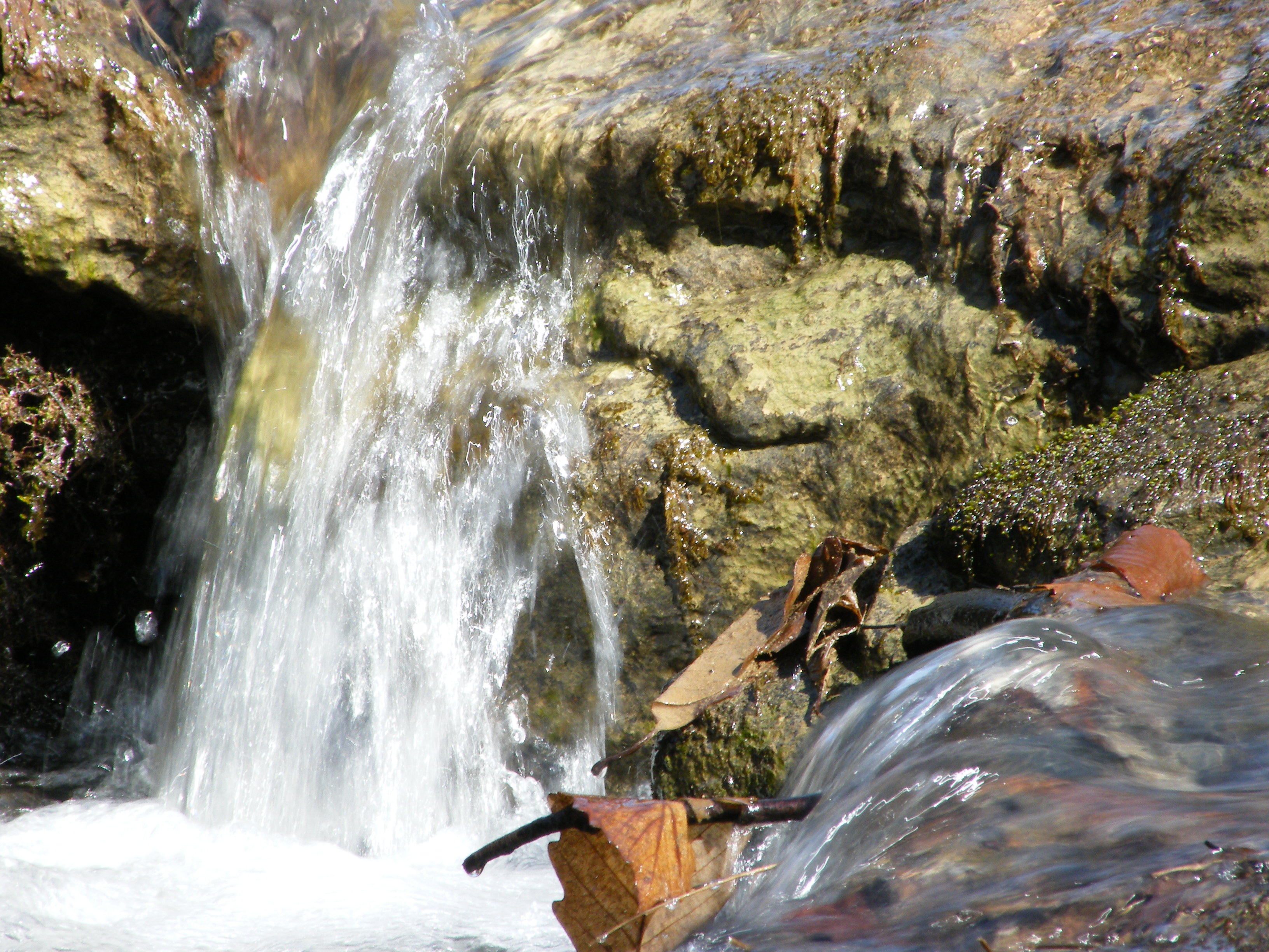
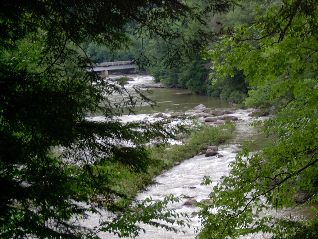
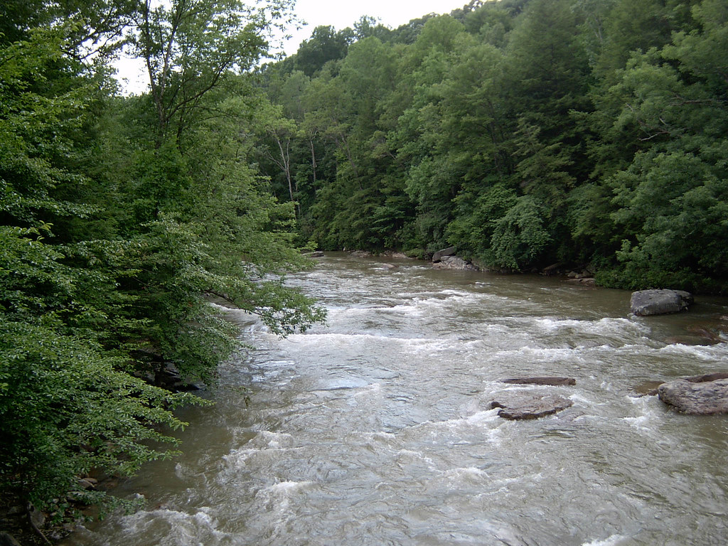
Falling Water 2
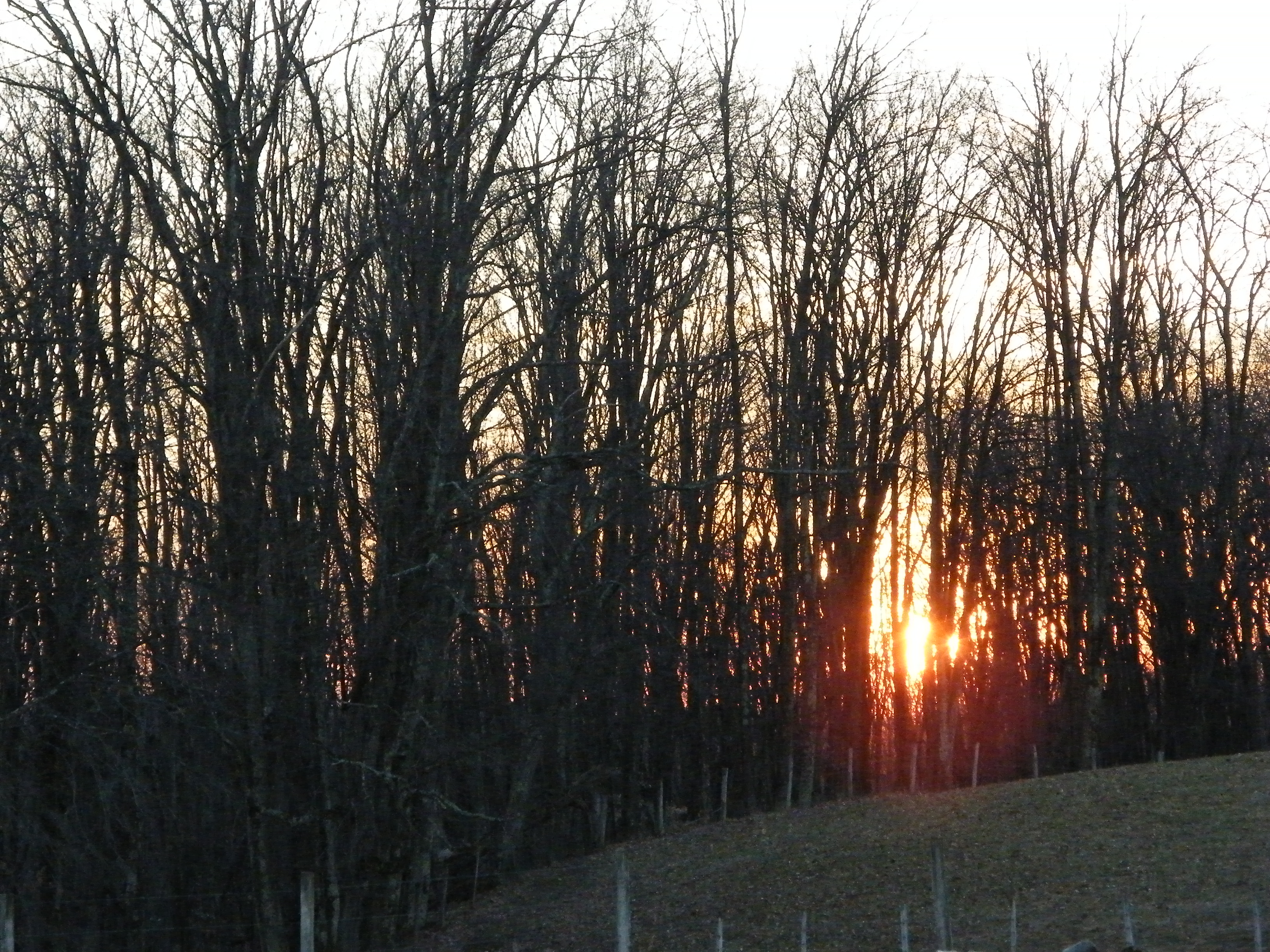
Sunset Through Trees
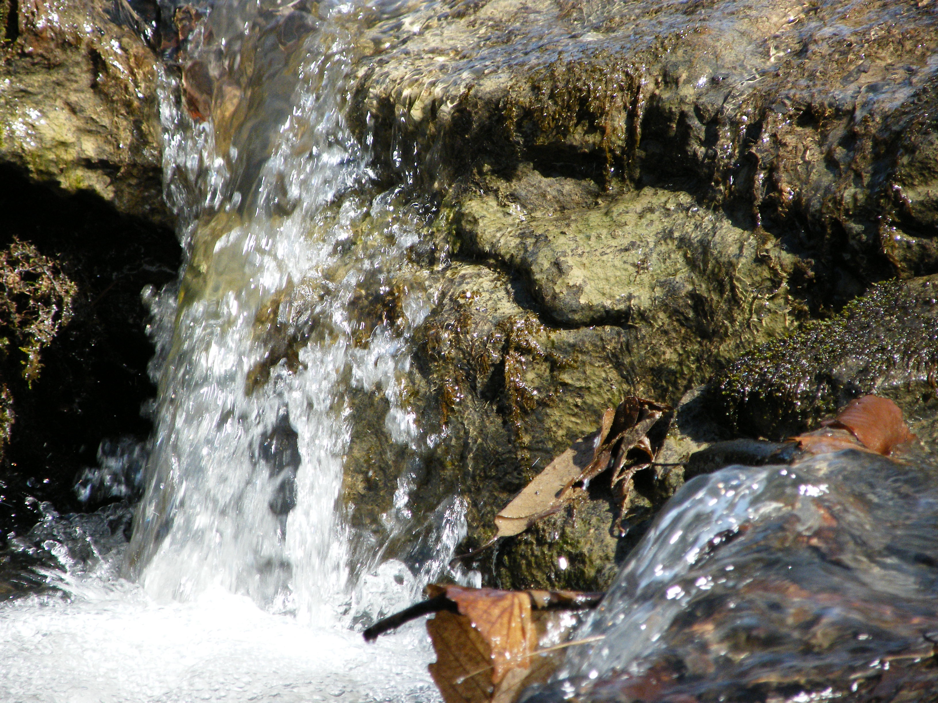
Falling Water 3
Landscape Enlargements
Img1984 06-Dec-08
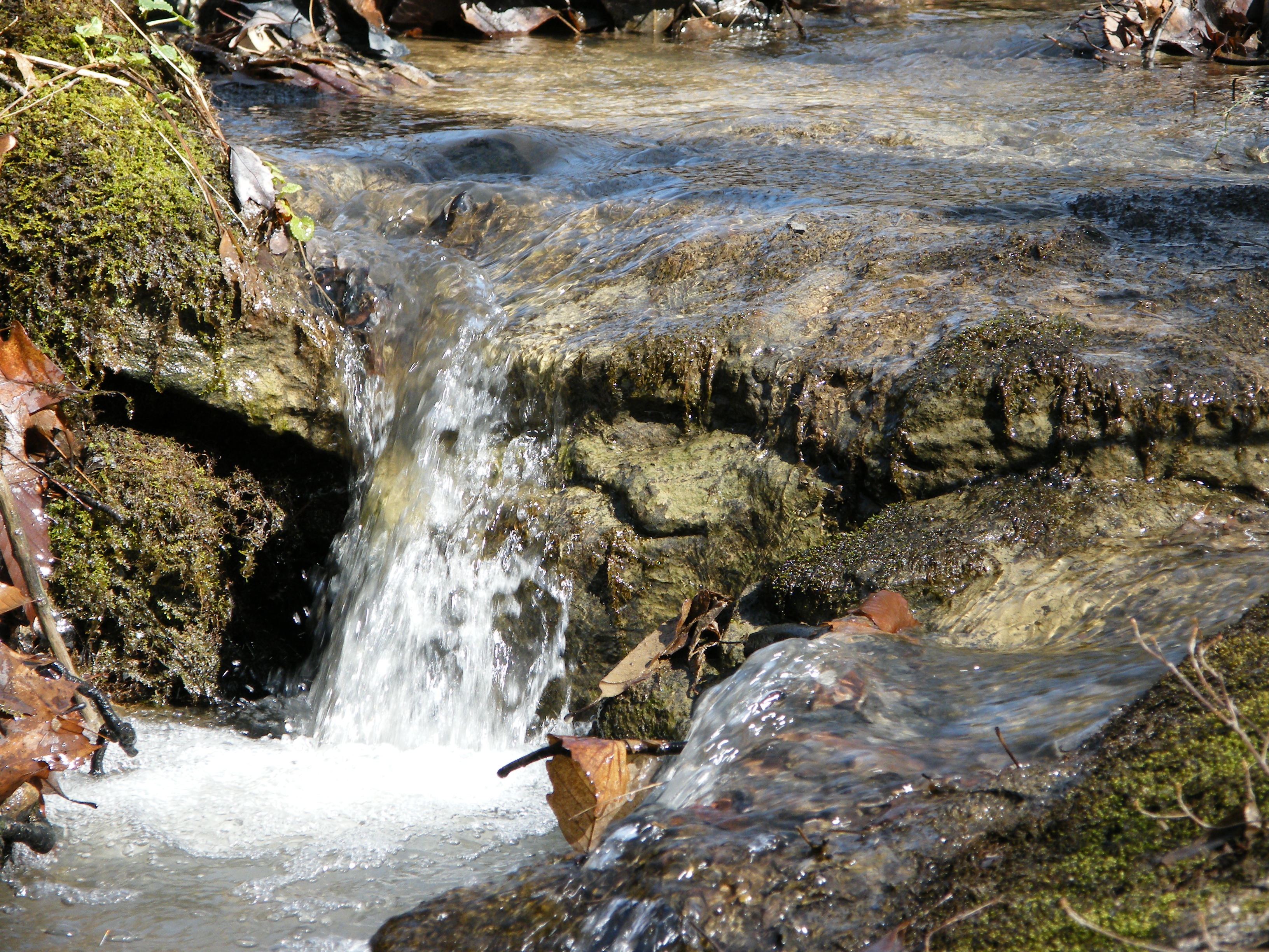
Falling Water 4
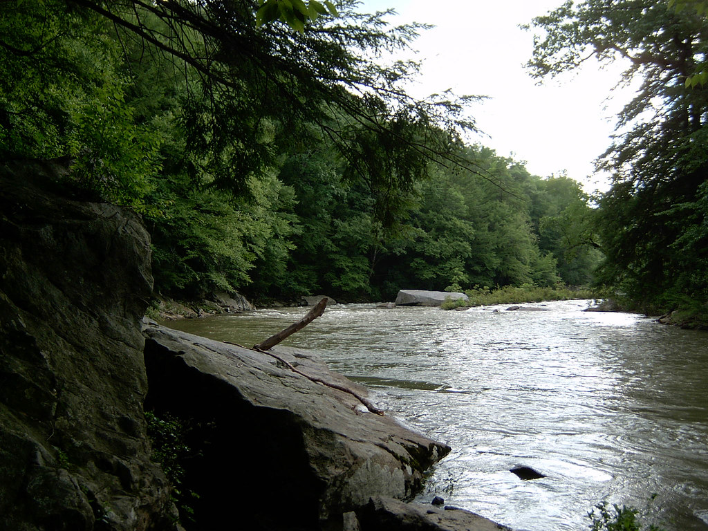
Middle Fork River Image 7 7-14-2004 Photo
Middle Fork River Image 3 7-14-2004 Photo
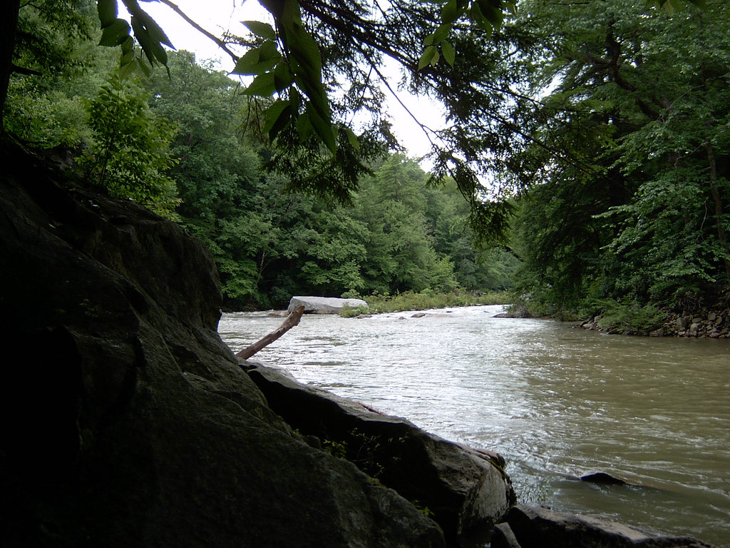
Middle Fork River Image 4 7-14-2004 Photo
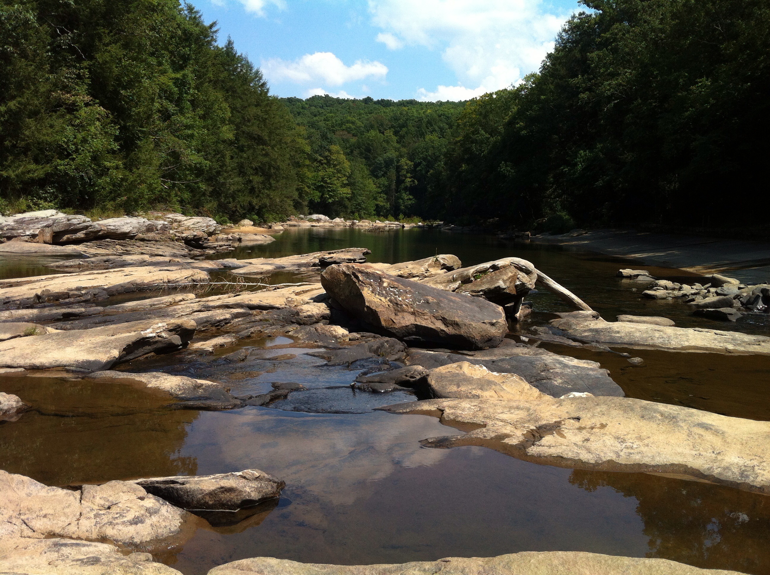
Audra State Park
Middle Fork River Image 14 7-14-2004 Photo

Audra State Park
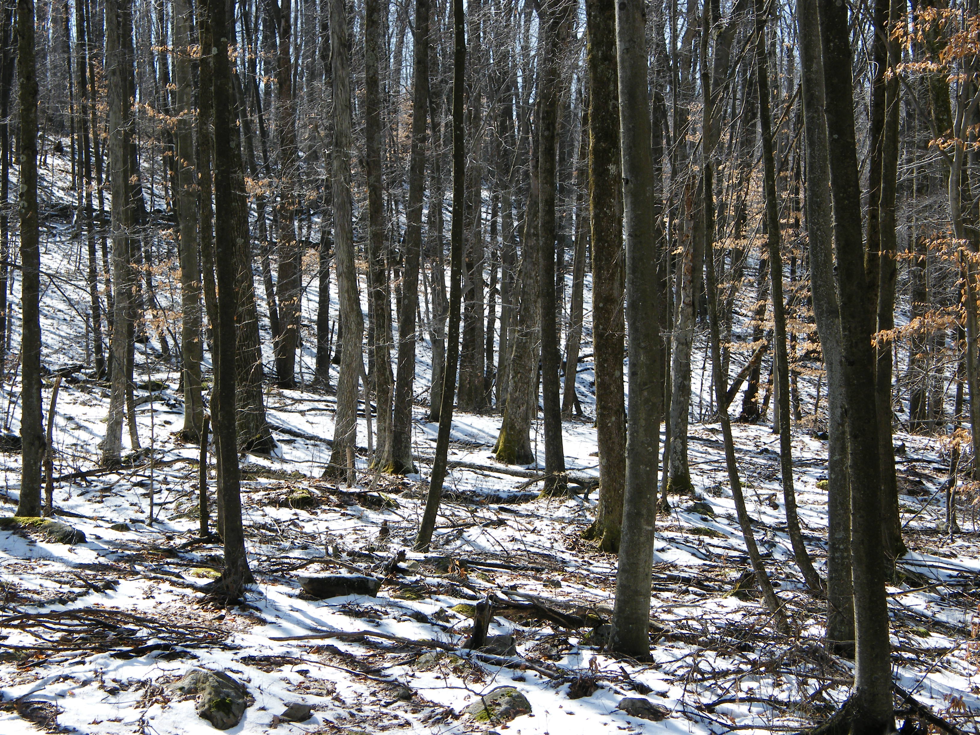
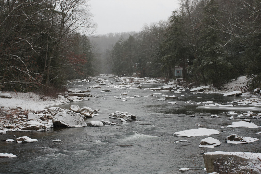
Melting Snow
Topographic Map of Hawkins Rd, Buckhannon, WV, USA
Find elevation by address:

Places near Hawkins Rd, Buckhannon, WV, USA:
299 Wamsley Rd
Burnt Bridge Rd, Buckhannon, WV, USA
1556 Hardman Rd
1556 Hardman Rd
Old Elkins Rd, Ellamore, WV, USA
County Road 151
Roaring Creek
Coalton
56 Concord Rd
Barbour County Hwy, Belington, WV, USA
Weaver Rd, Belington, WV, USA
Rich Mountain Battlefield
101 Lincoln Ave
2000 Livingston Ave
Leadsville
Elkins Depot Welcome Center
Elkins
Davis & Elkins College
200 Sycamore St
E 3rd St, Elkins, WV, USA
Recent Searches:
- Elevation of 7 Waterfall Way, Tomball, TX, USA
- Elevation of SW 57th Ave, Portland, OR, USA
- Elevation of Crocker Dr, Vacaville, CA, USA
- Elevation of Pu Ngaol Community Meeting Hall, HWHM+3X7, Krong Saen Monourom, Cambodia
- Elevation of Royal Ontario Museum, Queens Park, Toronto, ON M5S 2C6, Canada
- Elevation of Groblershoop, South Africa
- Elevation of Power Generation Enterprises | Industrial Diesel Generators, Oak Ave, Canyon Country, CA, USA
- Elevation of Chesaw Rd, Oroville, WA, USA
- Elevation of N, Mt Pleasant, UT, USA
- Elevation of 6 Rue Jules Ferry, Beausoleil, France