Elevation of Havilah Rd, Bostic, NC, USA
Location: United States > North Carolina > Rutherford County > Cool Spring > Bostic >
Longitude: -81.79439
Latitude: 35.542315
Elevation: -10000m / -32808feet
Barometric Pressure: 295KPa
Elevation Map:
Satellite Map:
Related Photos:

High Shoals Falls

South Mountain Trillium

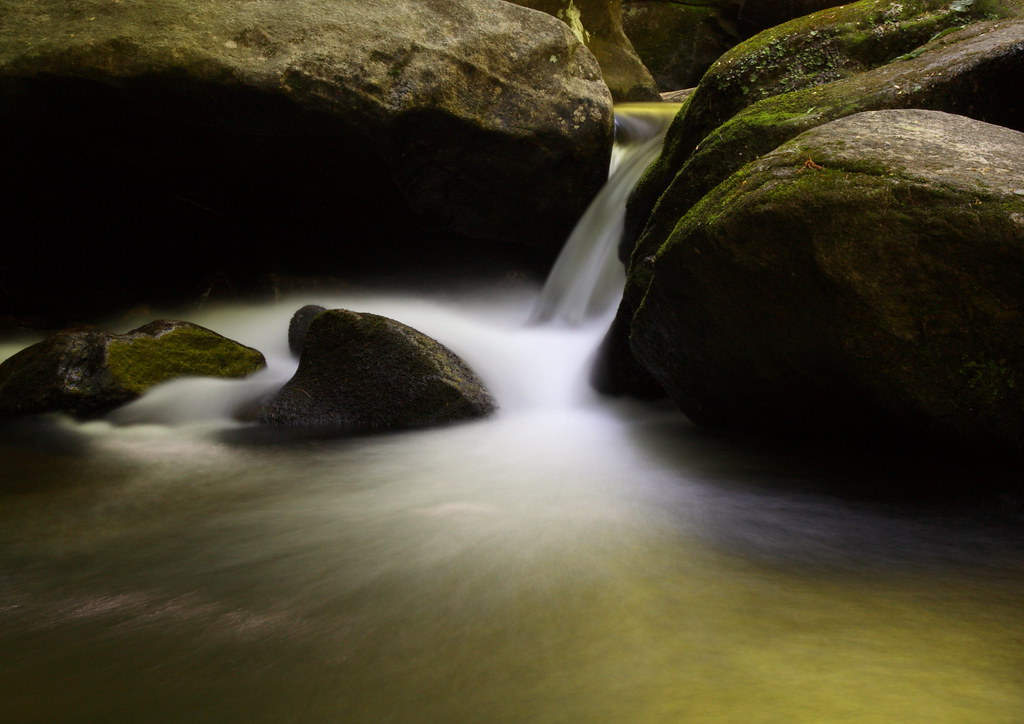
Misty Base
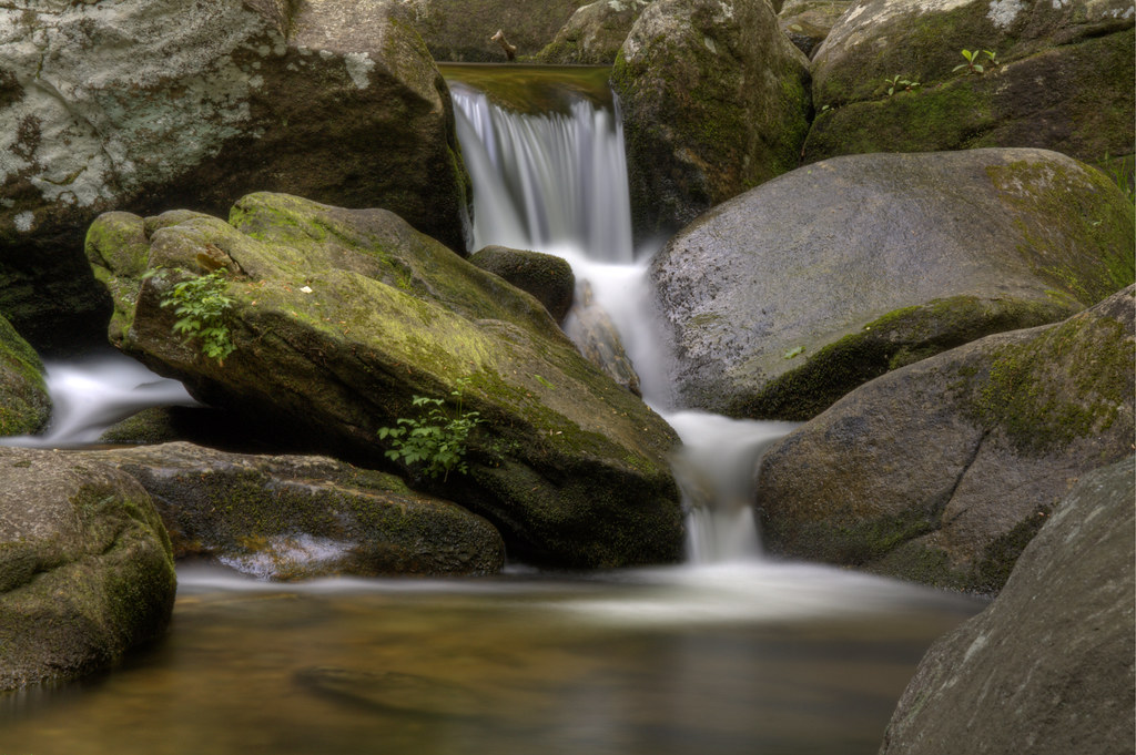
Golden Cascade

Falling Water with Ice

Sliding Board?

Jacob's Fork Cascades

Jacob's Fork in the Fall

Journey 313/365

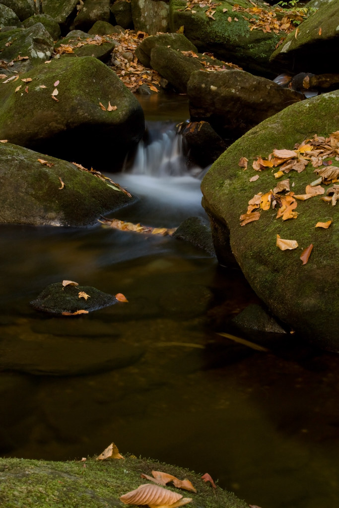
Red Leaf
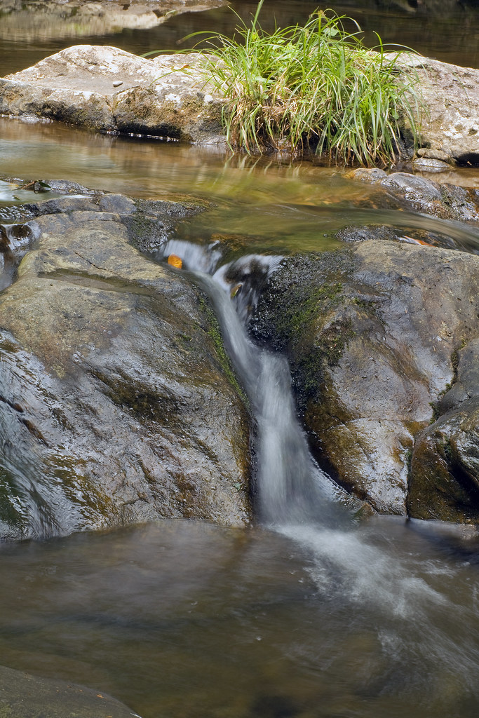
Falling Water

Autumn Cascade

The Base

Jacob's Fork Cascade

In over my Knees!

Go with the Flow
Jacob's Fork Trickle

Quiet by the Creekside
Moss and Leaves on the Rocks (thanks Ed)

Water, Rocks, and Rhodo

Winter Water

For Evelyn

Western NC

Hidden Beauty

South Mountains Cascade

Sweet Serenity

Mountain Trail

View from Chestnut Knob

Train Chase [II]

Freezing Falls
Topographic Map of Havilah Rd, Bostic, NC, USA
Find elevation by address:

Places near Havilah Rd, Bostic, NC, USA:
300 Camp Mccall Rd
Camp Mccall Road
4851 Nc-226
Golden Valley Church Road
Mountain Lookout Drive
132 Idlewild Dr
180 Idlewild Dr
455 Mountain Lookout Dr
455 Mountain Lookout Dr
788 Forest Mountain Dr
788 Mountain Forest Dr
Golden Valley
South Mountains Game Lands
Houston House Inc
9490 Us-64
3507 Dogwood Ln
54 Hidden Lake Pkwy
6830 Silver Creek Ln
650 Nathan Mc Daniel Dr
106 Lake Terrace Dr
Recent Searches:
- Elevation of Lampiasi St, Sarasota, FL, USA
- Elevation of Elwyn Dr, Roanoke Rapids, NC, USA
- Elevation of Congressional Dr, Stevensville, MD, USA
- Elevation of Bellview Rd, McLean, VA, USA
- Elevation of Stage Island Rd, Chatham, MA, USA
- Elevation of Shibuya Scramble Crossing, 21 Udagawacho, Shibuya City, Tokyo -, Japan
- Elevation of Jadagoniai, Kaunas District Municipality, Lithuania
- Elevation of Pagonija rock, Kranto 7-oji g. 8"N, Kaunas, Lithuania
- Elevation of Co Rd 87, Jamestown, CO, USA
- Elevation of Tenjo, Cundinamarca, Colombia