Elevation of Hauptstraße 15, Hüttingen an der Kyll, Germany
Location: Germany > Rhineland-palatinate > Hüttingen An Der Kyll >
Longitude: 6.5875453
Latitude: 49.968812
Elevation: 234m / 768feet
Barometric Pressure: 99KPa
Elevation Map:
Satellite Map:
Related Photos:
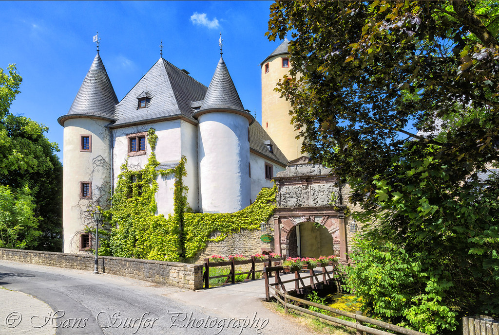
Burg Rittersdorf
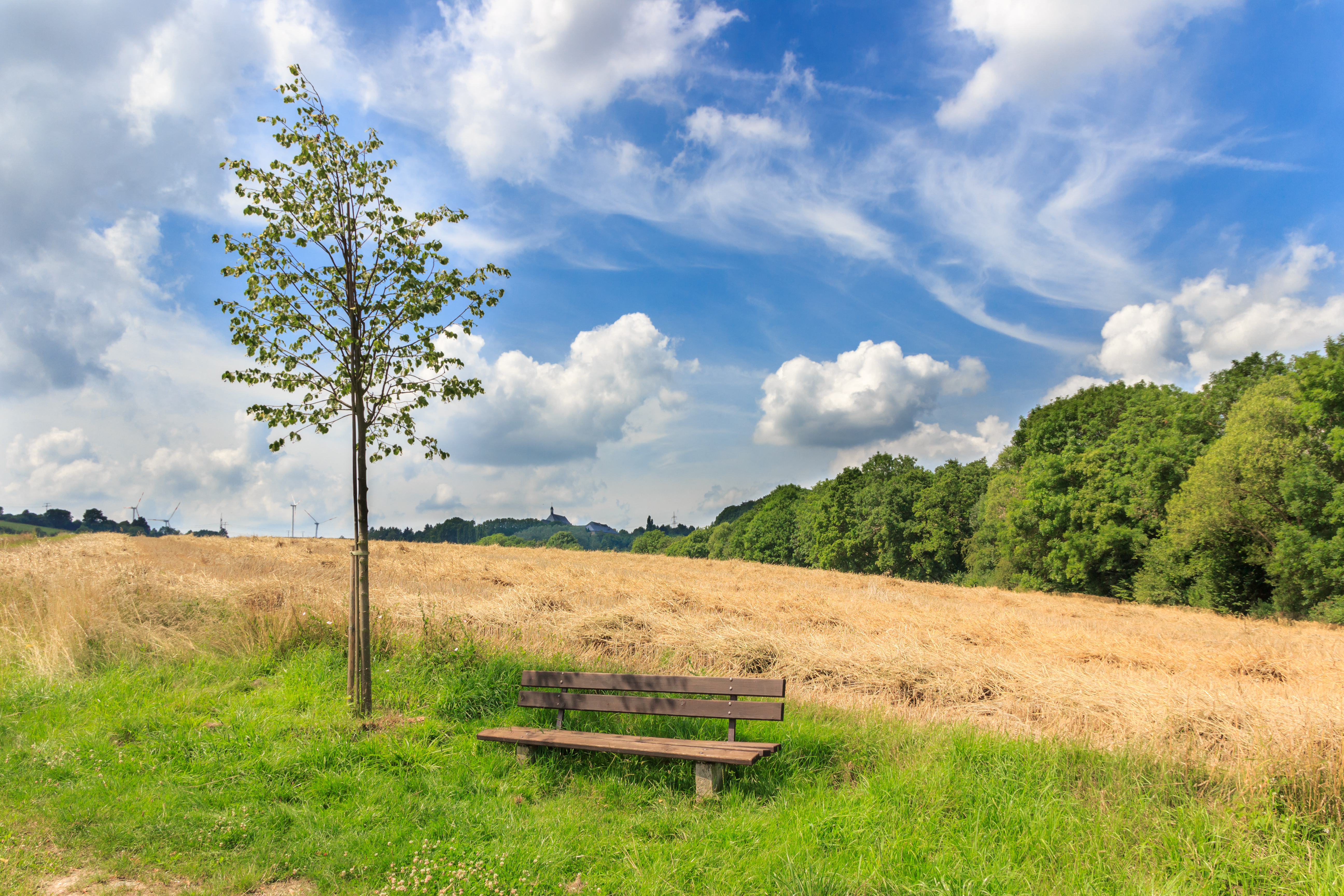
Bench with tree

Good morning hometown
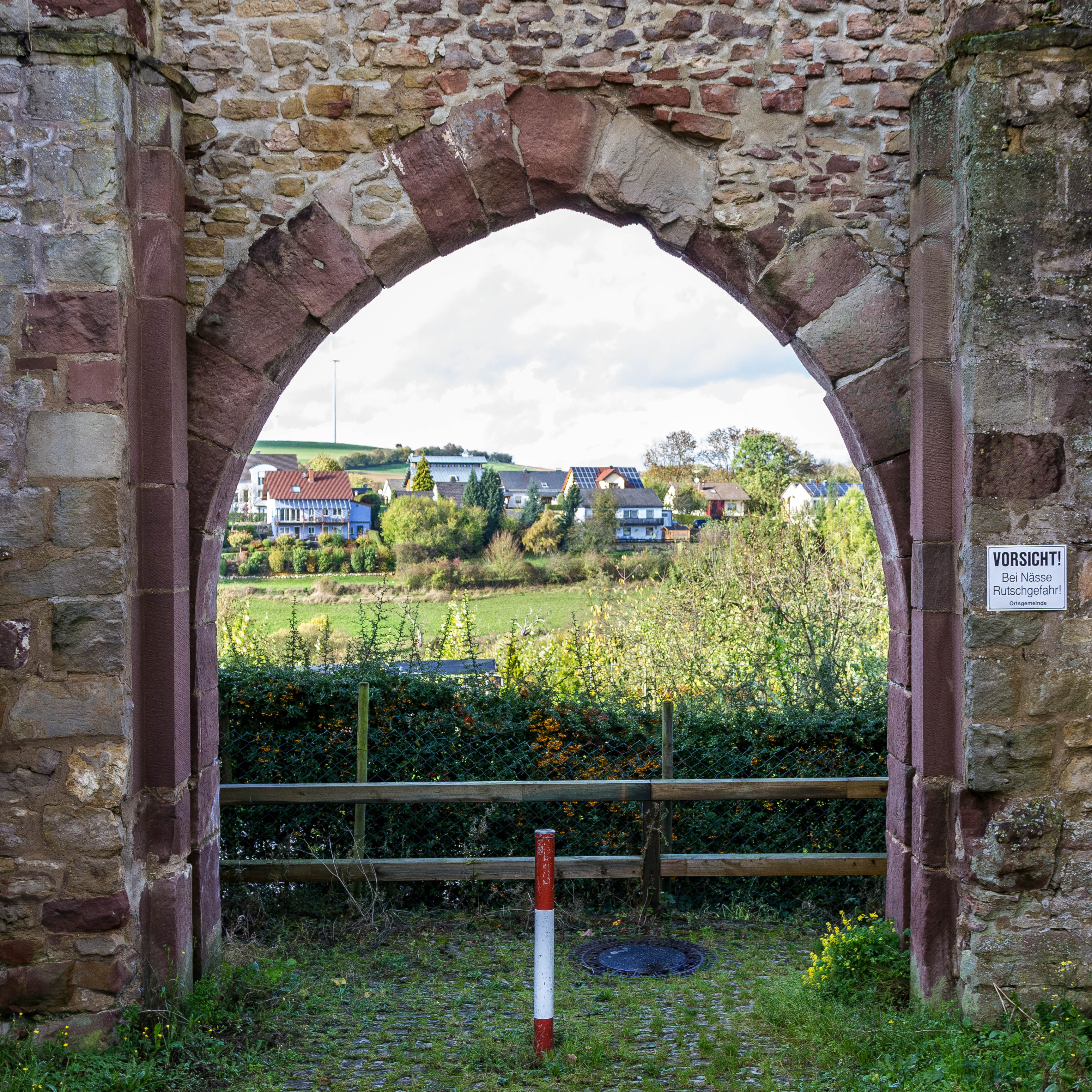
Old Citygate / Altes Stadttor
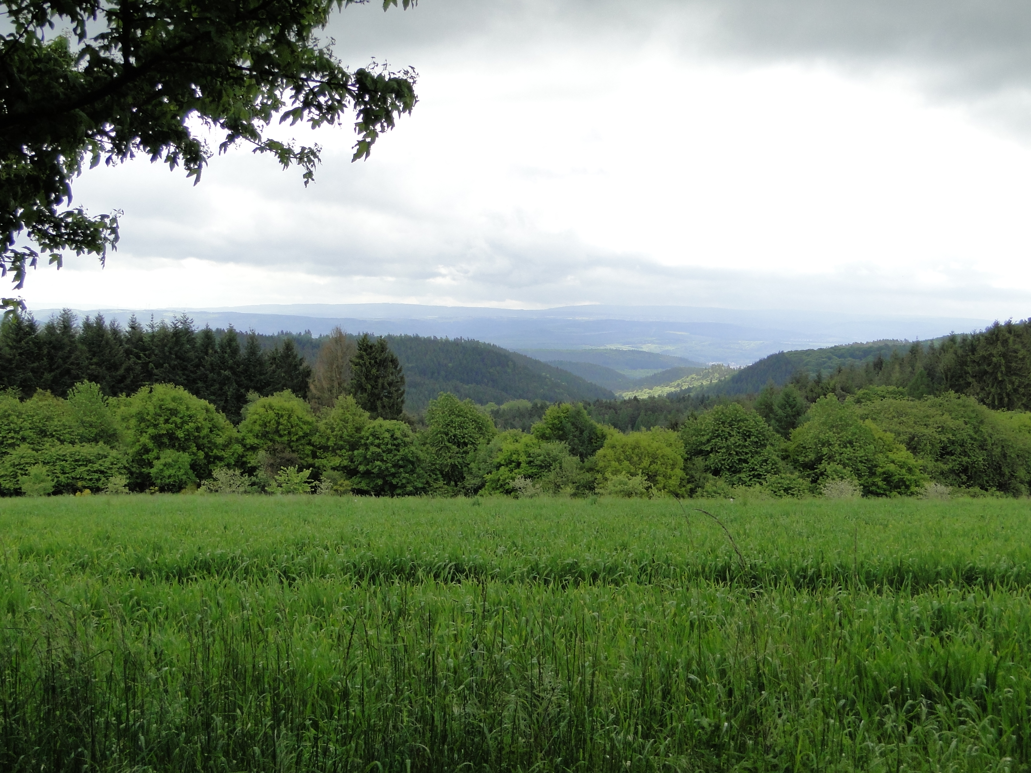
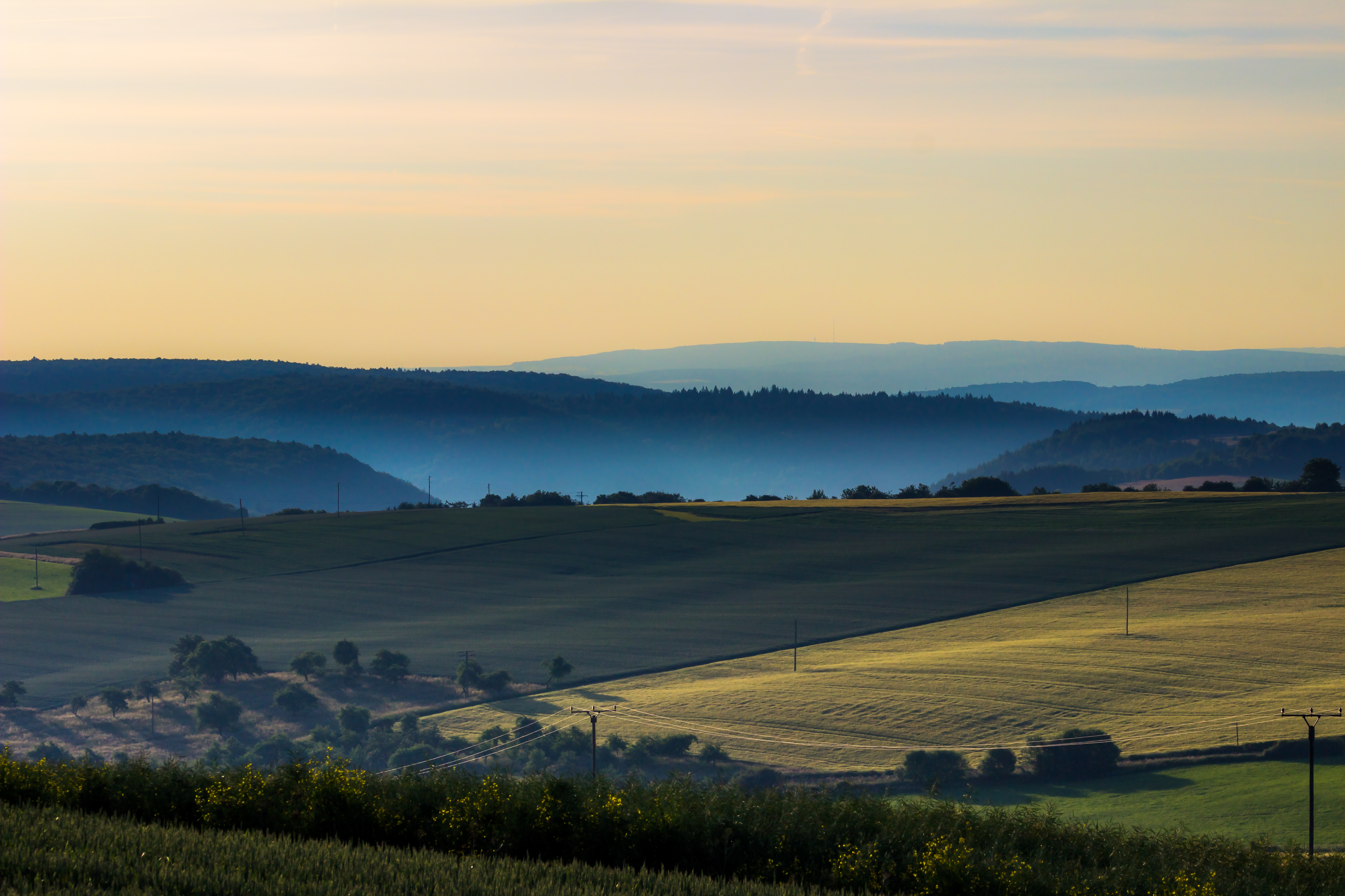
View south to the Mosel hills
Wide view at Landscheid

Stausee Biersdorf
Wäldchen

Anflug auf Bitburg

Monument, Eisenbach Germany 2010_06_26_CDS_2329
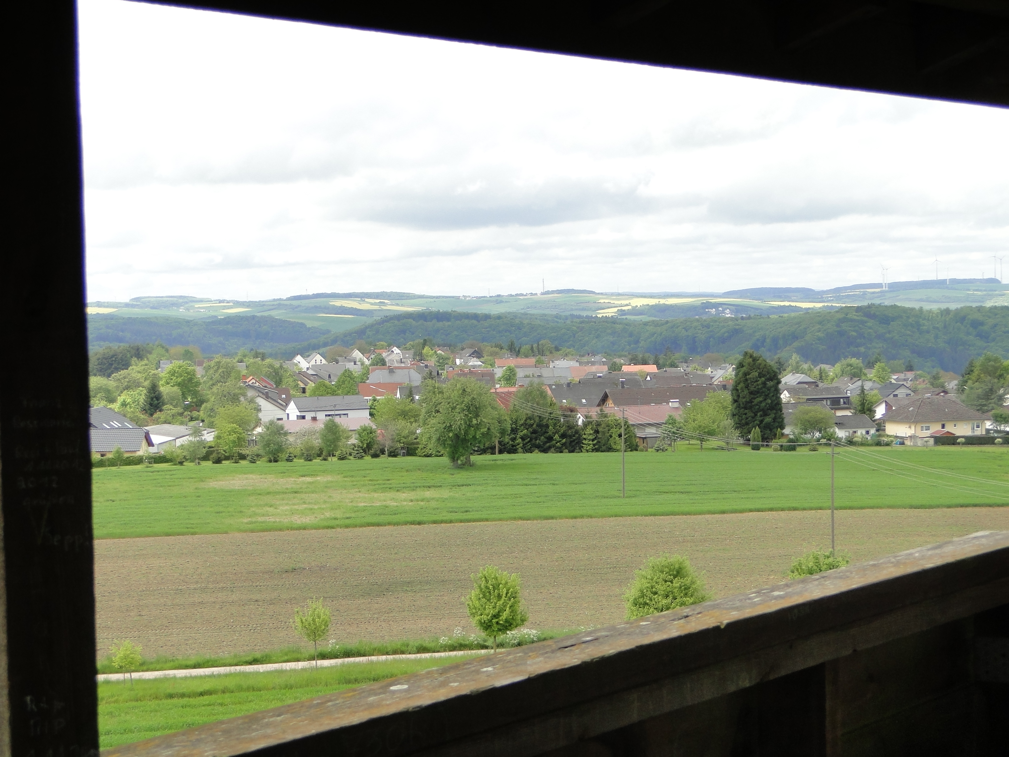
View on Rodt from its watchtower

Monument, Eisenbach Germany 2010_06_26_CDS_2392

Prumzurlay Town View
View out the Kitchen Door
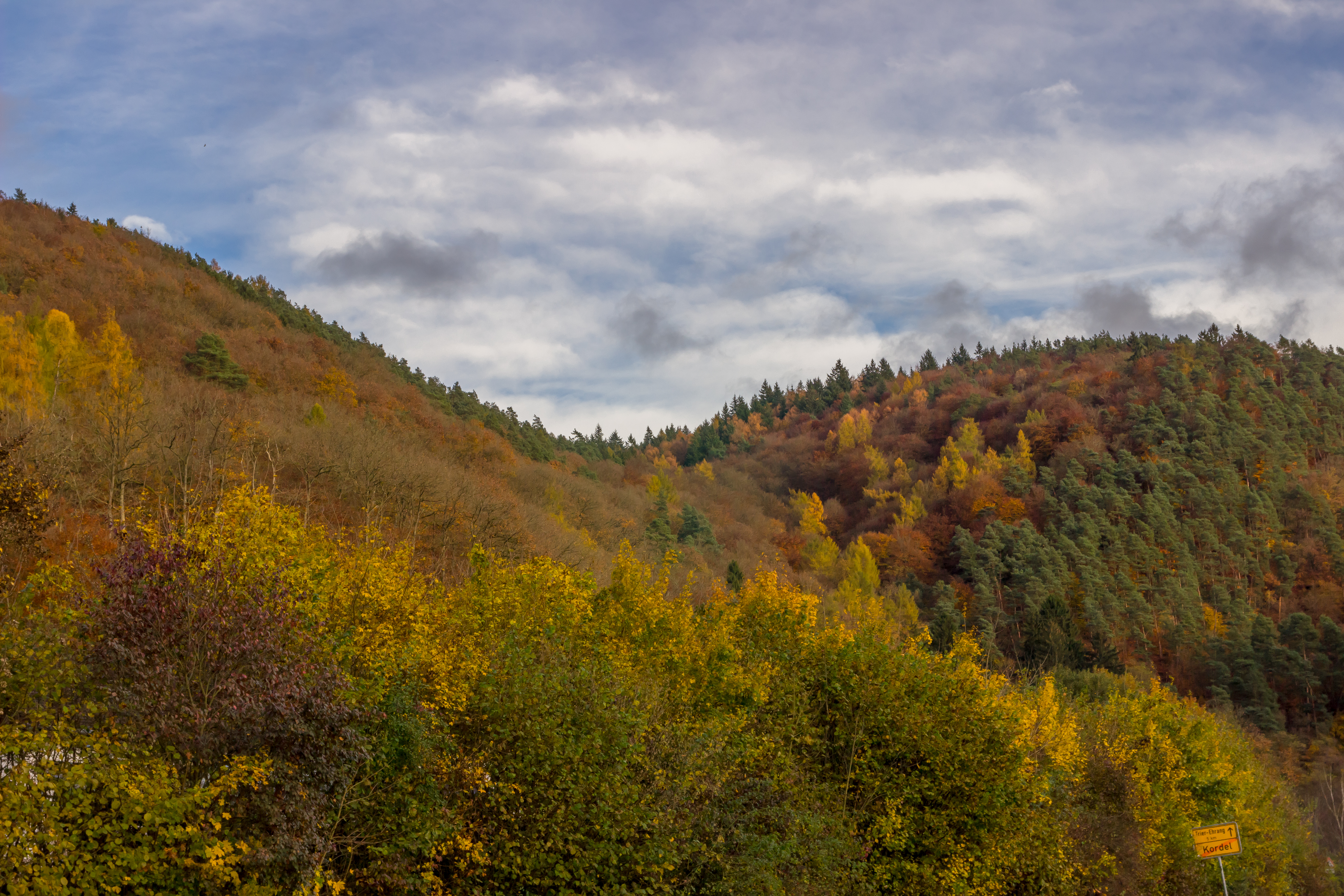
Cold autumn forest

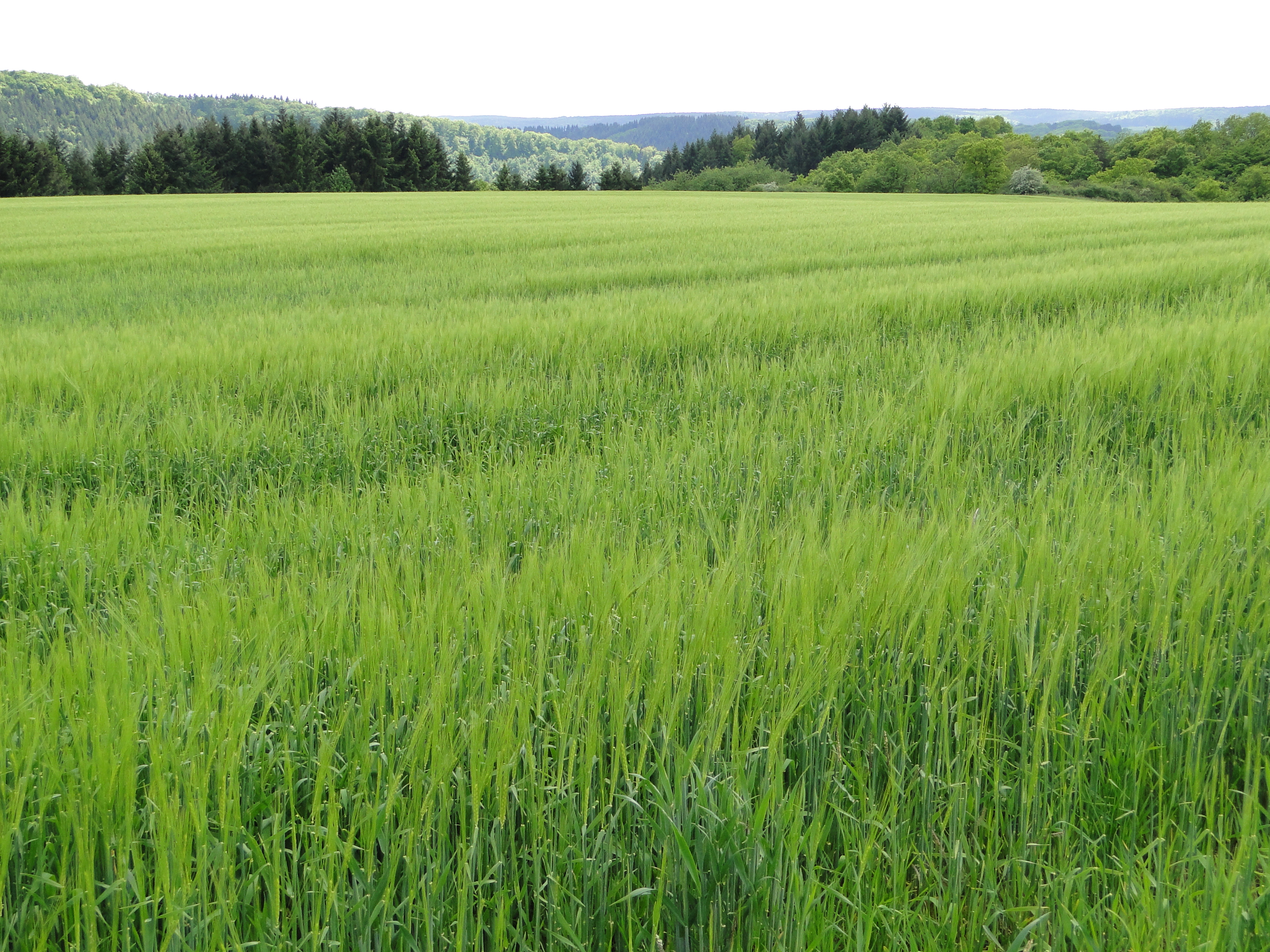
wheat field
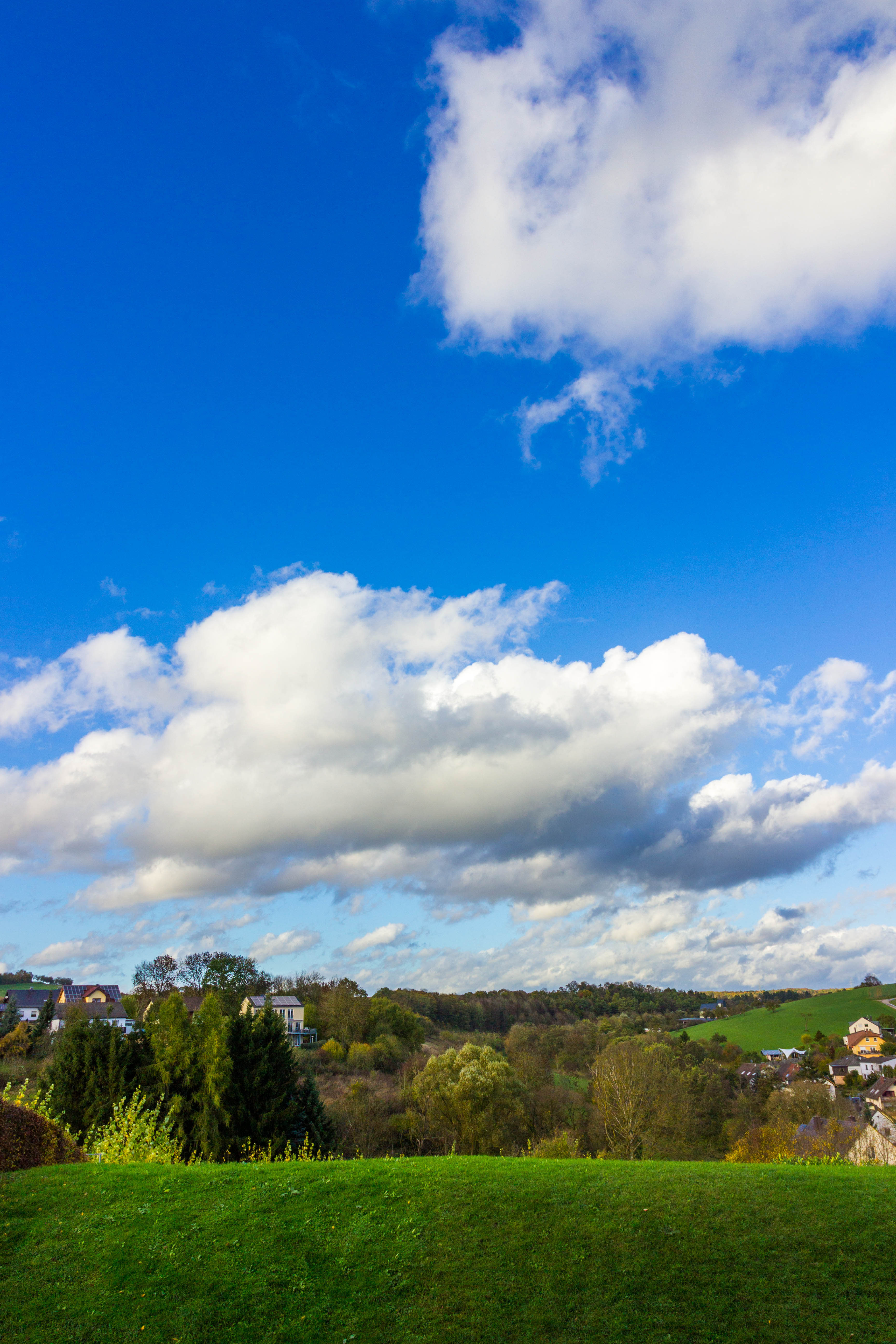
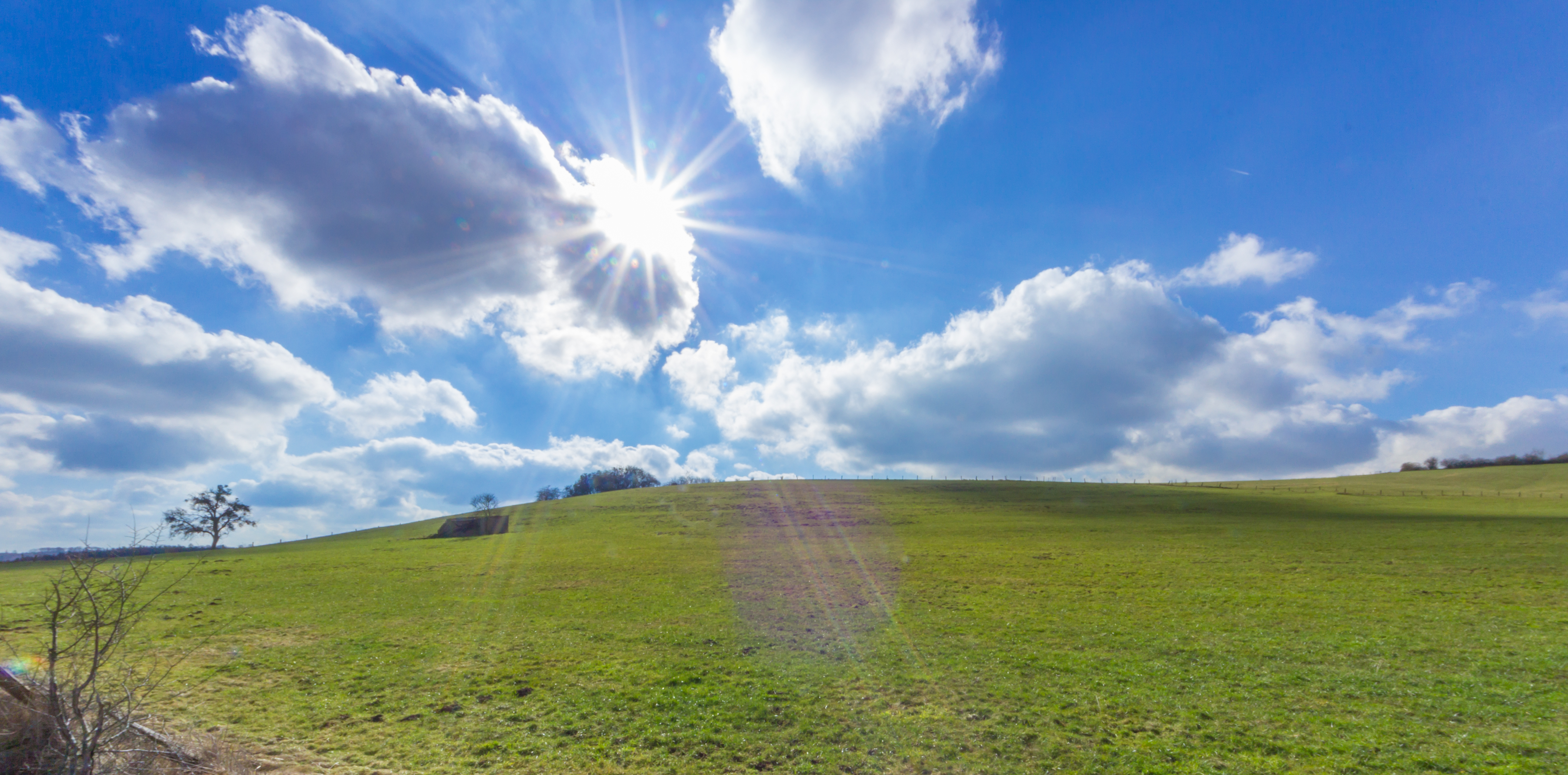
Clouds versus Sun

Unsere Heimat im Mai
High traffic at sunrise
Der Baum
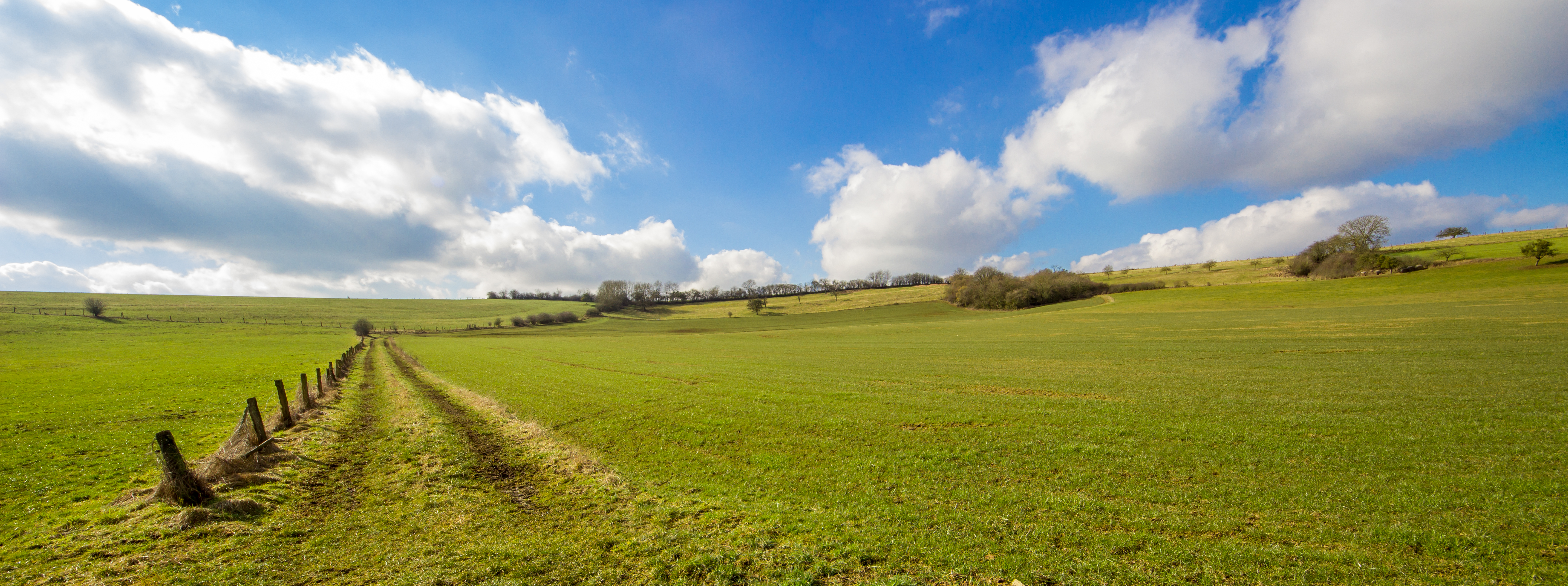
Landscape / Landschaft

Late Sunset
Sunrise / Sonnenaufgang
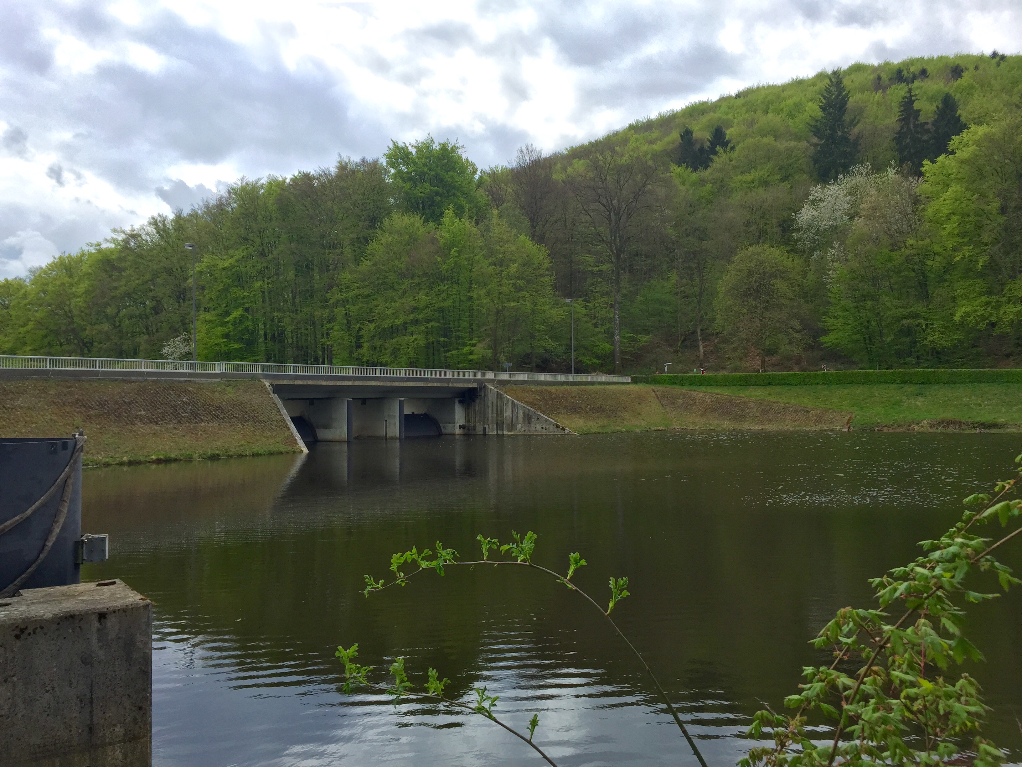
Stausee Bitburg

Winter......

Autumn at the Lake
HFF landscape

Landscape real and abstract
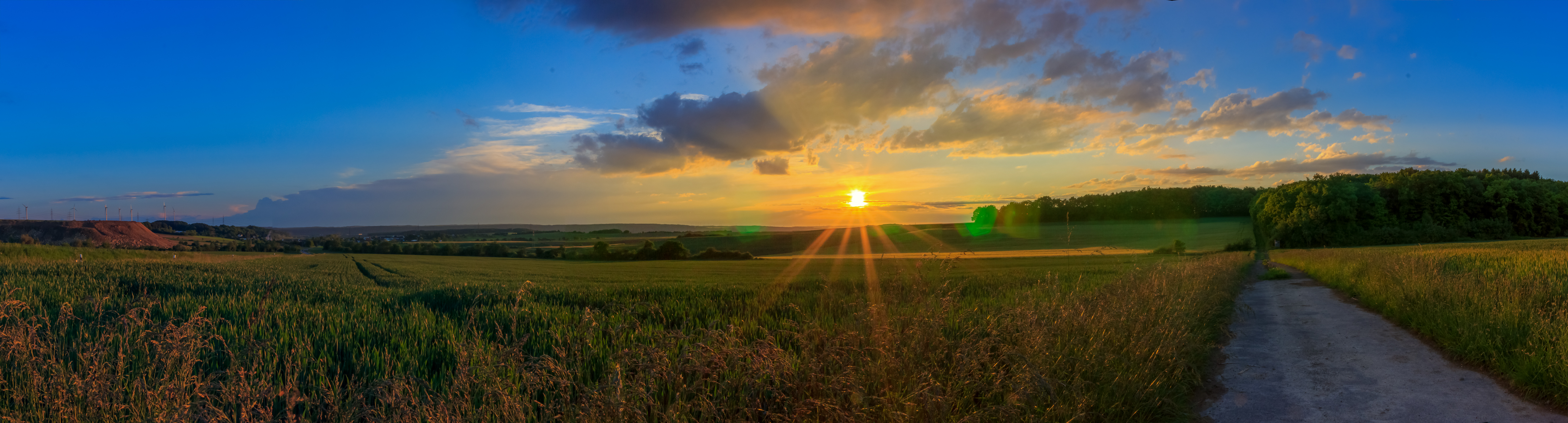
Sunset panorama
20150222-IMG_7365

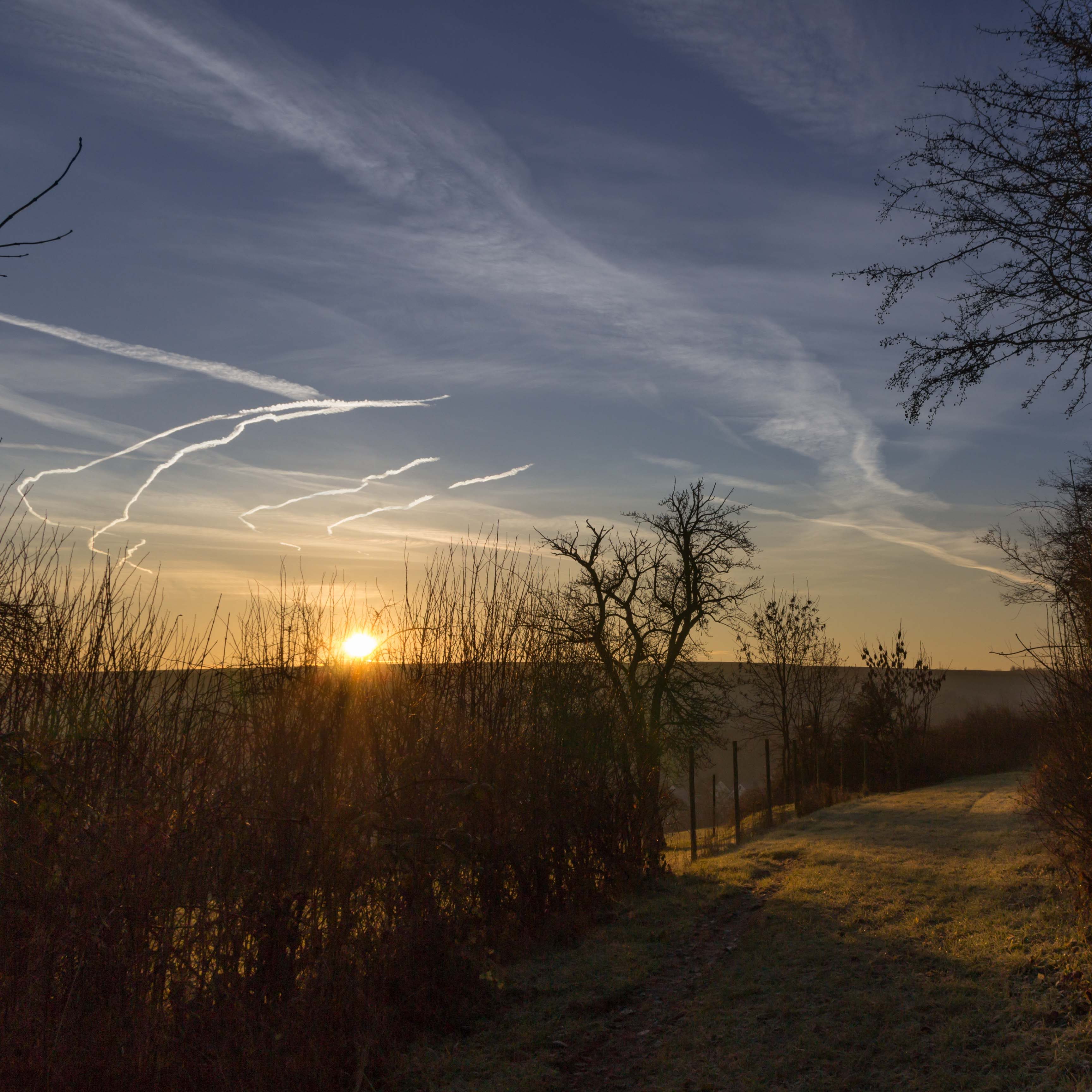
yesterday's Sunrise
A piece of our beautiful planet
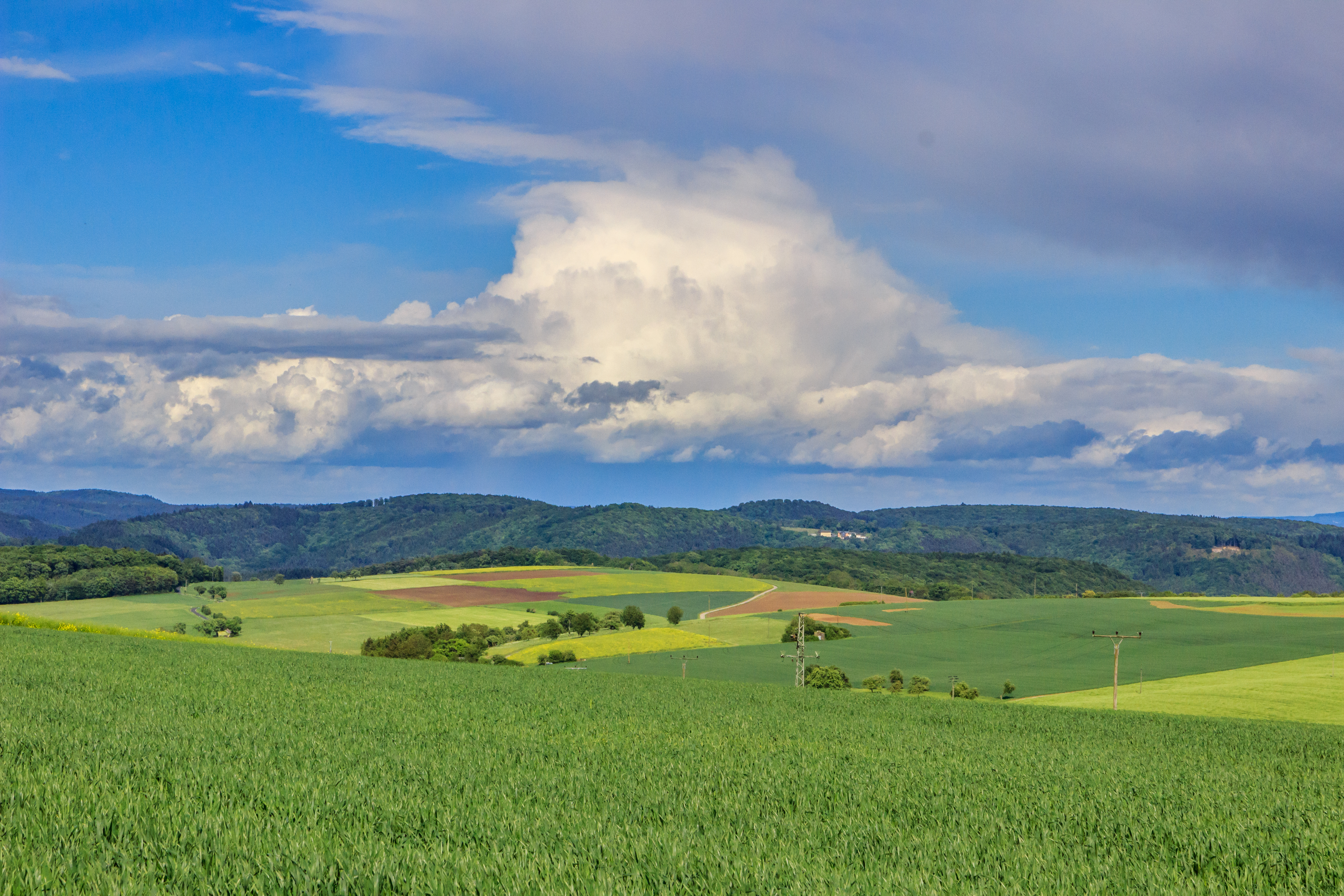
Unwetterwolke über der Südeifel
autumn forest
Topographic Map of Hauptstraße 15, Hüttingen an der Kyll, Germany
Find elevation by address:

Places near Hauptstraße 15, Hüttingen an der Kyll, Germany:
Hüttingen An Der Kyll
Sülm
Hauptstraße 1, Sülm, Germany
Bitburg
Spangdahlem
Idesheimer Str. 15, Welschbillig, Germany
Ittel
Unnamed Road
Katzstraße 24, Herforst, Germany
Herforst
Spangdahlem Spottersplek Bos 23 Kant
Spangdahlem Air Base
Gransdorf
Welschbillig
Binsfeld
Biermühle 4, Gransdorf, Germany
Neuheilenbach
Bergstraße 14
Newel
Butzweiler
Recent Searches:
- Elevation of 6 Rue Jules Ferry, Beausoleil, France
- Elevation of Sattva Horizon, 4JC6+G9P, Vinayak Nagar, Kattigenahalli, Bengaluru, Karnataka, India
- Elevation of Great Brook Sports, Gold Star Hwy, Groton, CT, USA
- Elevation of 10 Mountain Laurels Dr, Nashua, NH, USA
- Elevation of 16 Gilboa Ln, Nashua, NH, USA
- Elevation of Laurel Rd, Townsend, TN, USA
- Elevation of 3 Nestling Wood Dr, Long Valley, NJ, USA
- Elevation of Ilungu, Tanzania
- Elevation of Yellow Springs Road, Yellow Springs Rd, Chester Springs, PA, USA
- Elevation of Rēzekne Municipality, Latvia