Elevation of Hatia Island, Bangladesh
Location: Bangladesh > Chittagong Division > Noakhali District >
Longitude: 91.09694
Latitude: 22.2824053
Elevation: 2m / 7feet
Barometric Pressure: 101KPa
Elevation Map:
Satellite Map:
Related Photos:

IMG_20170102_161037
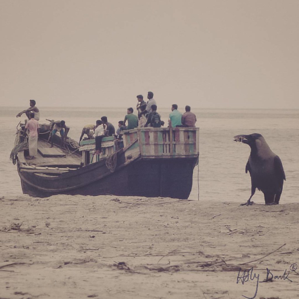
Raven and some hungry stomachs #oldsnap #outing #raven #vessel #sea
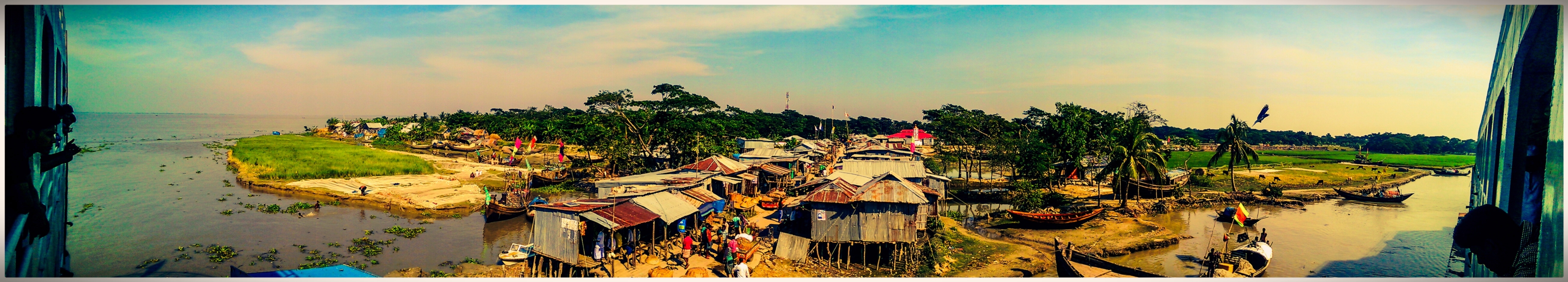
Monpura dip - HTC Sense
Topographic Map of Hatia Island, Bangladesh
Find elevation by address:

Places near Hatia Island, Bangladesh:
Hatiya
Nijhum Dwip National Park
Nijhum Dwip
Bhola District
Patuakhali District
Barisal Division
Patuakhali
Khepupara
Kalapara Upazila
Recent Searches:
- Elevation of Royal Ontario Museum, Queens Park, Toronto, ON M5S 2C6, Canada
- Elevation of Groblershoop, South Africa
- Elevation of Power Generation Enterprises | Industrial Diesel Generators, Oak Ave, Canyon Country, CA, USA
- Elevation of Chesaw Rd, Oroville, WA, USA
- Elevation of N, Mt Pleasant, UT, USA
- Elevation of 6 Rue Jules Ferry, Beausoleil, France
- Elevation of Sattva Horizon, 4JC6+G9P, Vinayak Nagar, Kattigenahalli, Bengaluru, Karnataka, India
- Elevation of Great Brook Sports, Gold Star Hwy, Groton, CT, USA
- Elevation of 10 Mountain Laurels Dr, Nashua, NH, USA
- Elevation of 16 Gilboa Ln, Nashua, NH, USA