Elevation of Hatfield, AR, USA
Location: United States > Arkansas > Polk County > Cove Township >
Longitude: -94.378547
Latitude: 34.485662
Elevation: 298m / 978feet
Barometric Pressure: 98KPa
Elevation Map:
Satellite Map:
Related Photos:
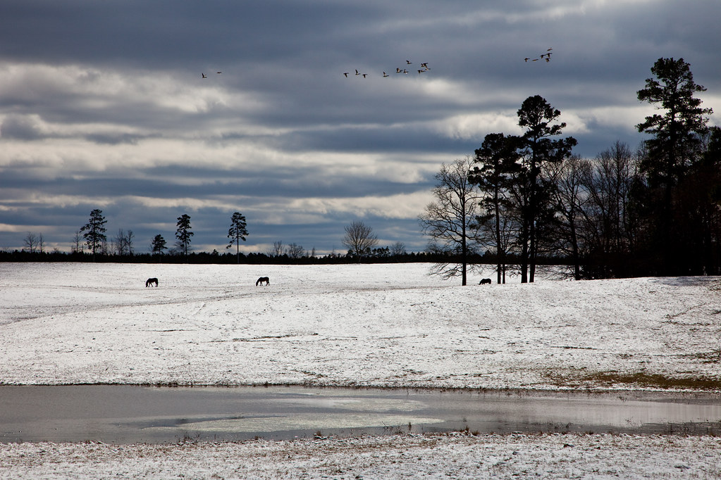
Arkansas Country Winter

Hatfield Cities Service I
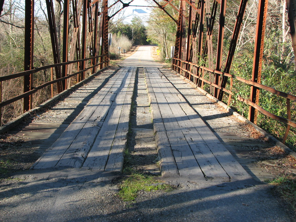
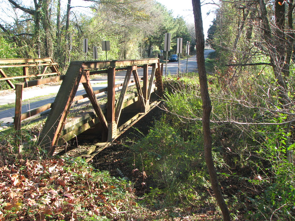
Two Mile Creek -Deck View
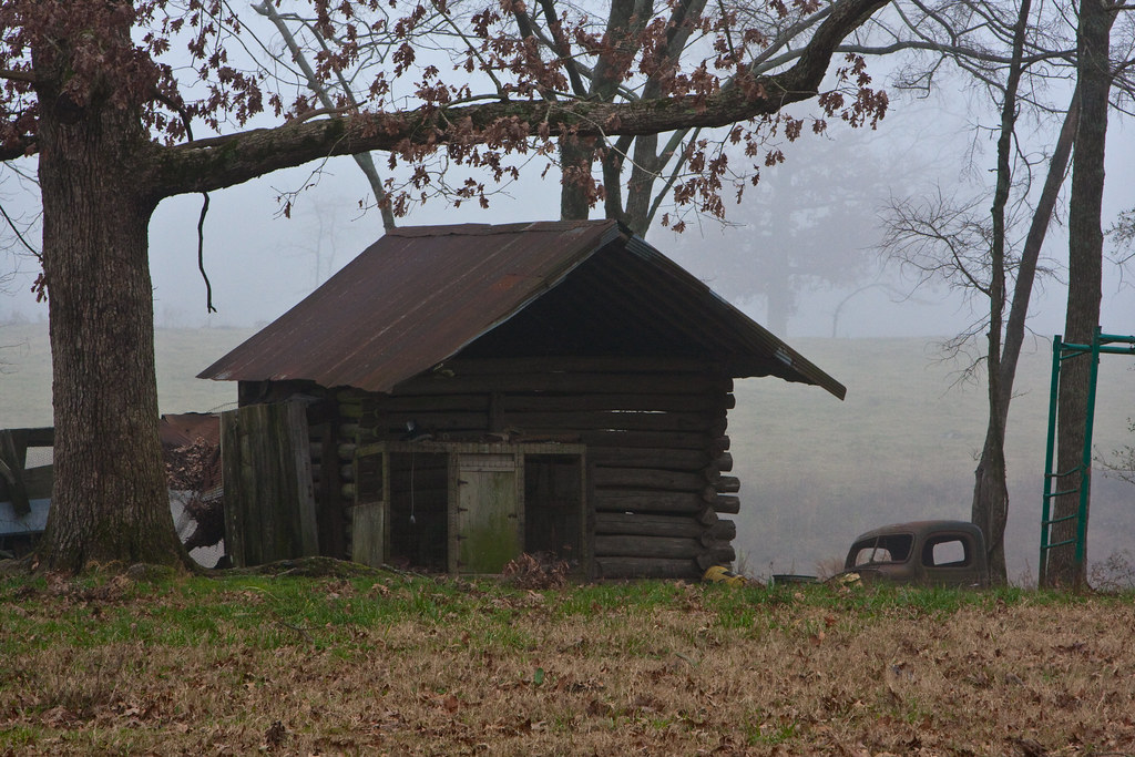
St Hwy 246 Log Cabin
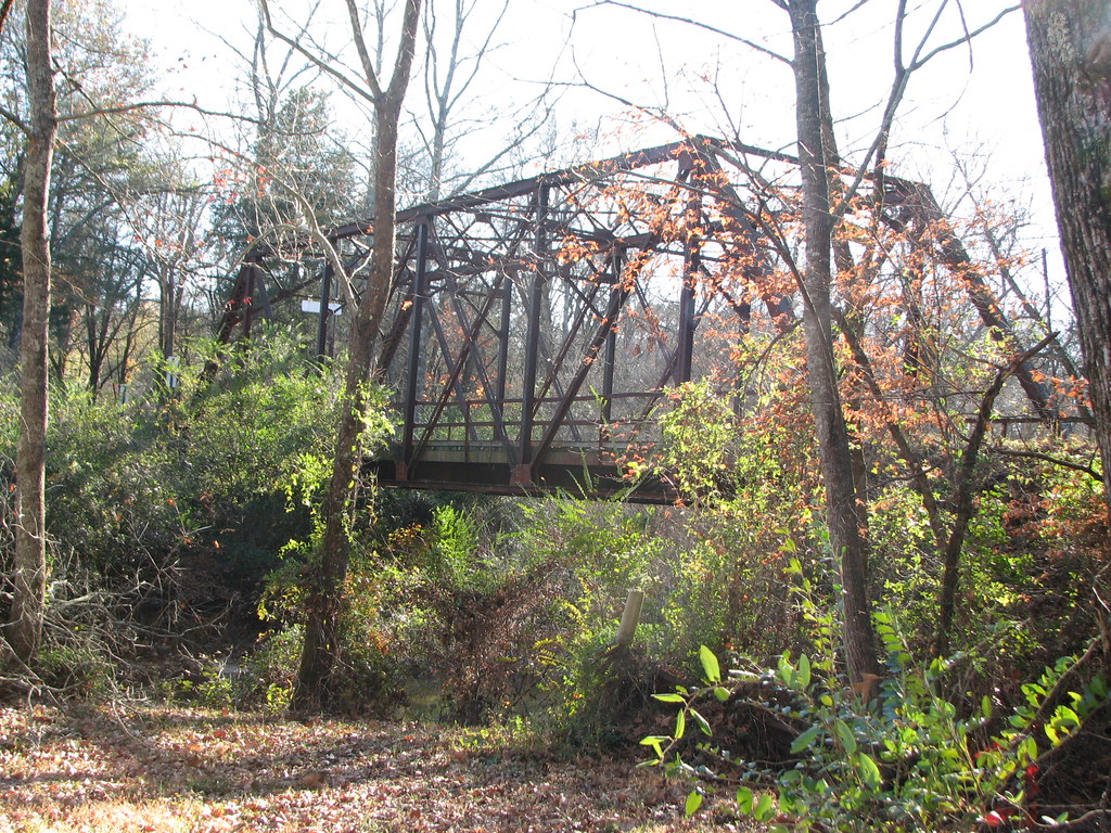
Two Mile Creek-Side View
Two Mile Creek Relief-Side View
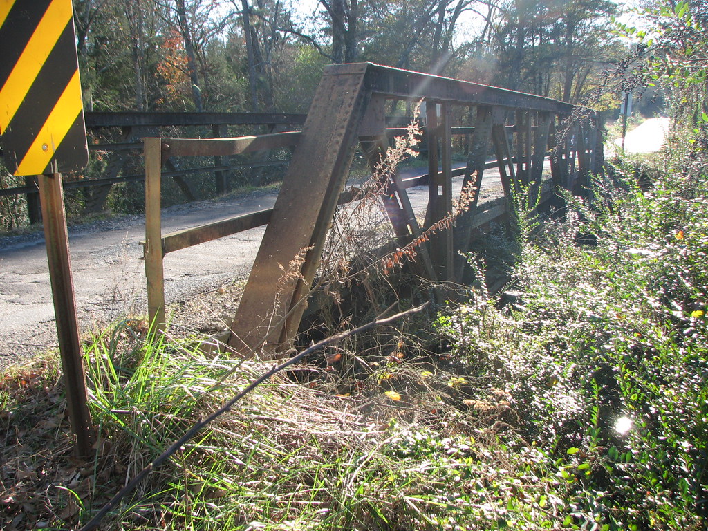
Thompson Creek-Side View

Day I'd Dying in the West
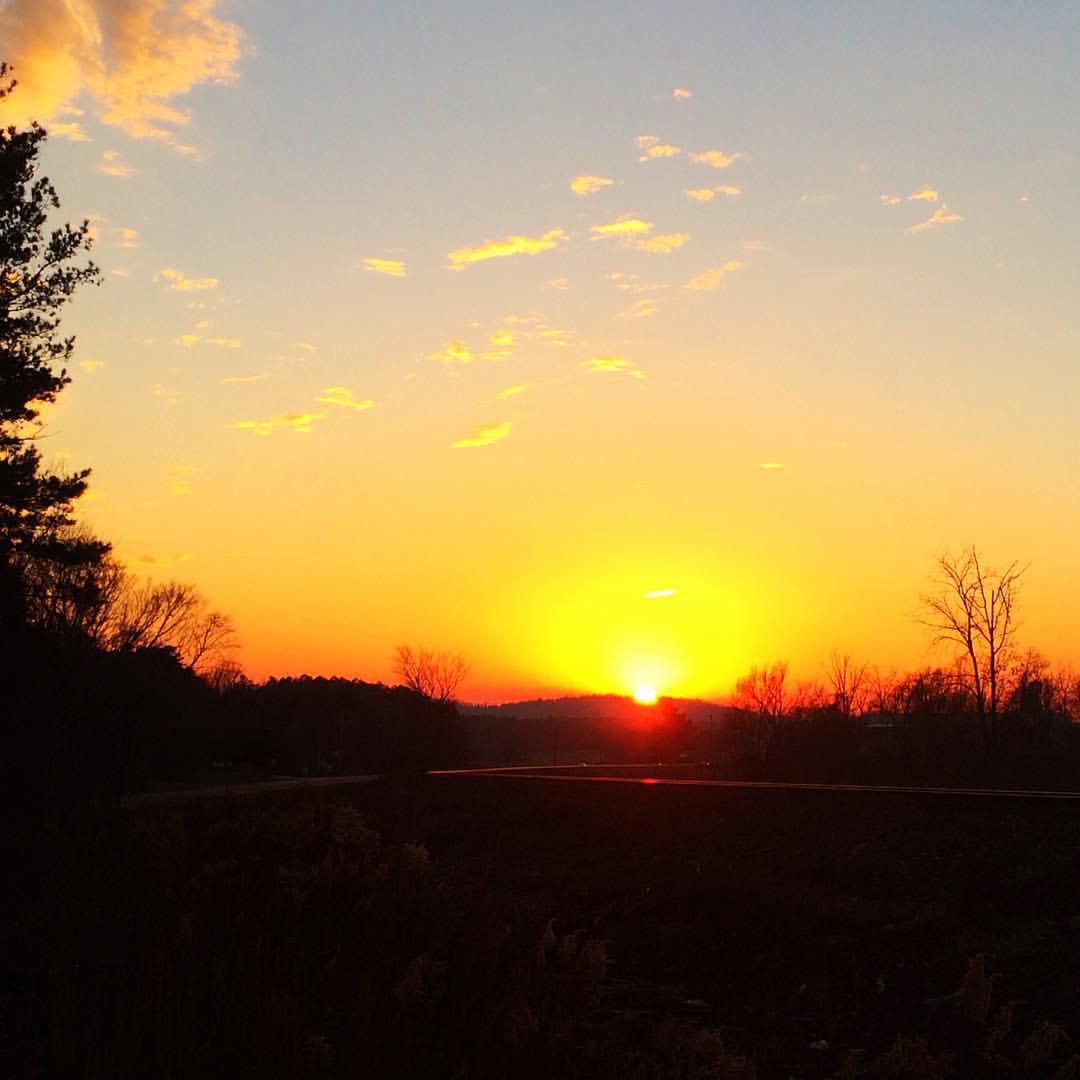
Winter Solstice Sunset
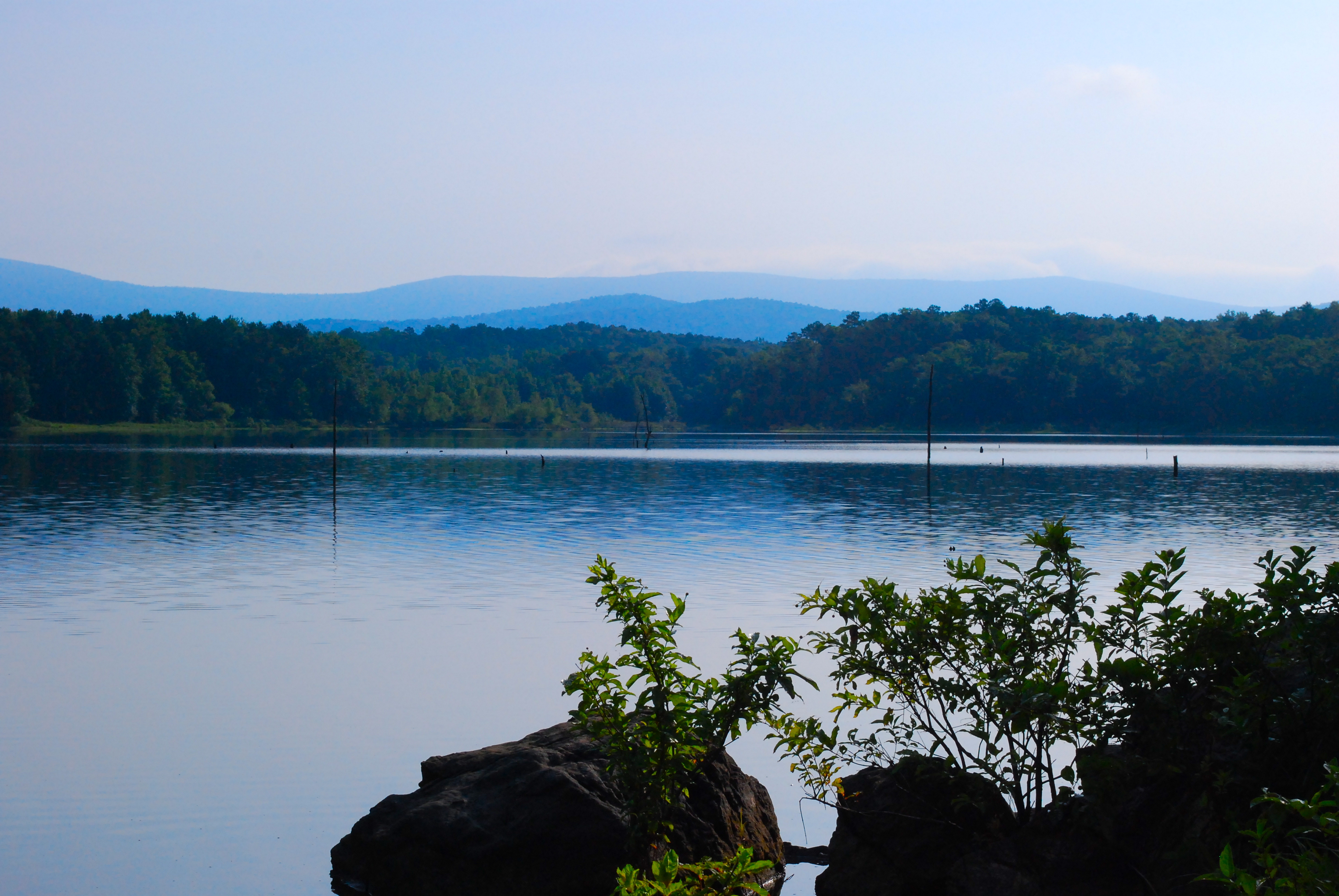
Lake Wilhelmina
My poison ivy crop is doing quite nicely
Topographic Map of Hatfield, AR, USA
Find elevation by address:

Places in Hatfield, AR, USA:
Places near Hatfield, AR, USA:
US-71, Hatfield, AR, USA
378 Polk Rd 36
5251 Us-71
Cove Township
Eagle Township
Cove
White Township
177 Polk Rd 20 W
Polk Road 39
292 Polk Rd 18
Potter Junction
AR-, Cove, AR, USA
N 3rd St, Cove, AR, USA
Ouachita Mountains
Polk Road 18, Cove, AR, USA
Potter Township
Polk Rd, Mena, AR, USA
Freedom Township
AR-8, Mena, AR, USA
Mena
Recent Searches:
- Elevation of Felindre, Swansea SA5 7LU, UK
- Elevation of Leyte Industrial Development Estate, Isabel, Leyte, Philippines
- Elevation of W Granada St, Tampa, FL, USA
- Elevation of Pykes Down, Ivybridge PL21 0BY, UK
- Elevation of Jalan Senandin, Lutong, Miri, Sarawak, Malaysia
- Elevation of Bilohirs'k
- Elevation of 30 Oak Lawn Dr, Barkhamsted, CT, USA
- Elevation of Luther Road, Luther Rd, Auburn, CA, USA
- Elevation of Unnamed Road, Respublika Severnaya Osetiya — Alaniya, Russia
- Elevation of Verkhny Fiagdon, North Ossetia–Alania Republic, Russia