Elevation of Hartford, SD, USA
Location: United States > South Dakota > Minnehaha County >
Longitude: -96.942555
Latitude: 43.6230323
Elevation: 478m / 1568feet
Barometric Pressure: 96KPa
Elevation Map:
Satellite Map:
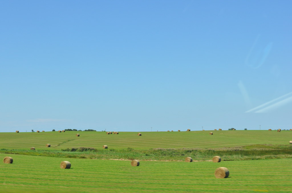
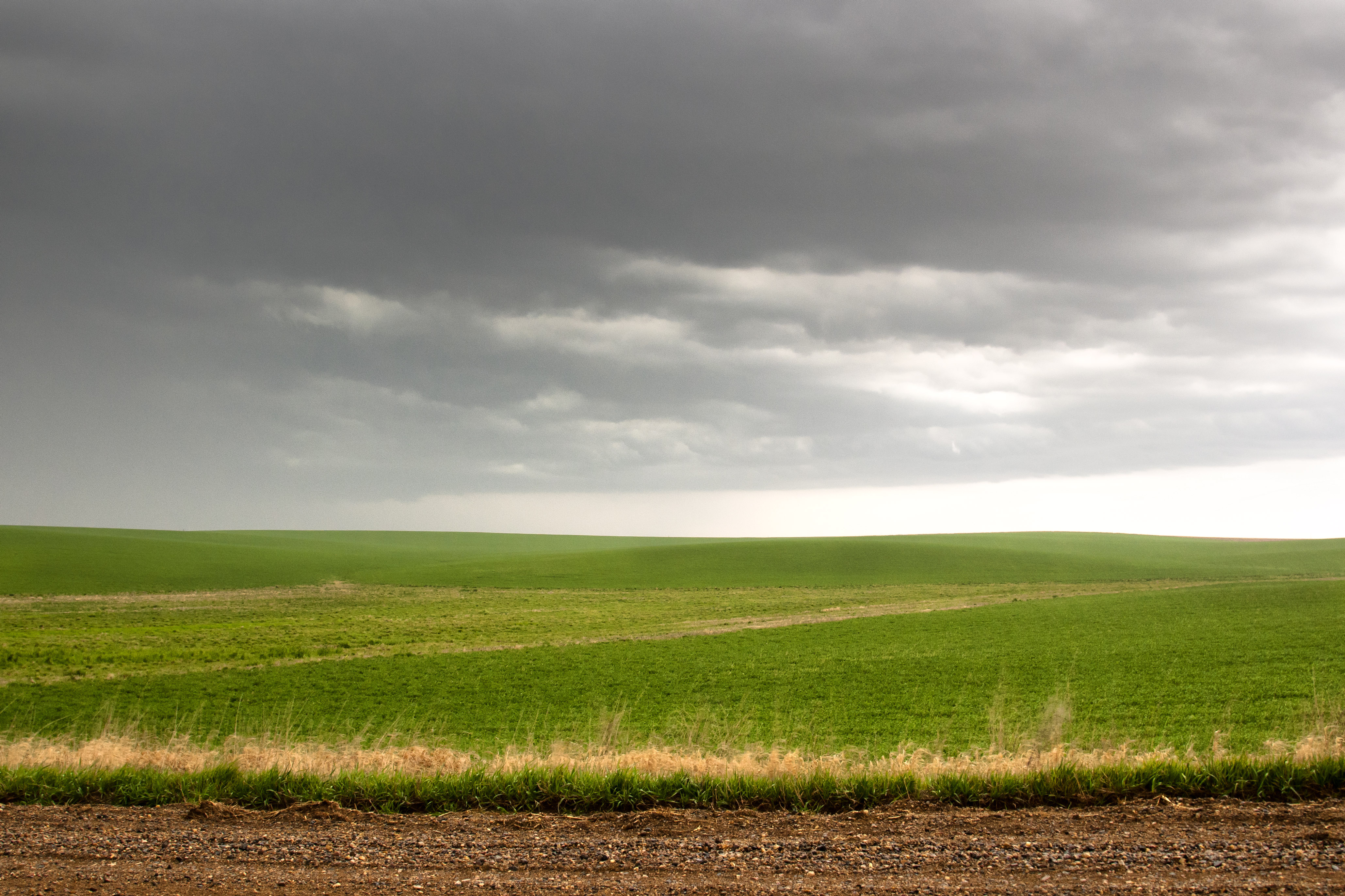
Related Photos:

Farmers Elevator Co.
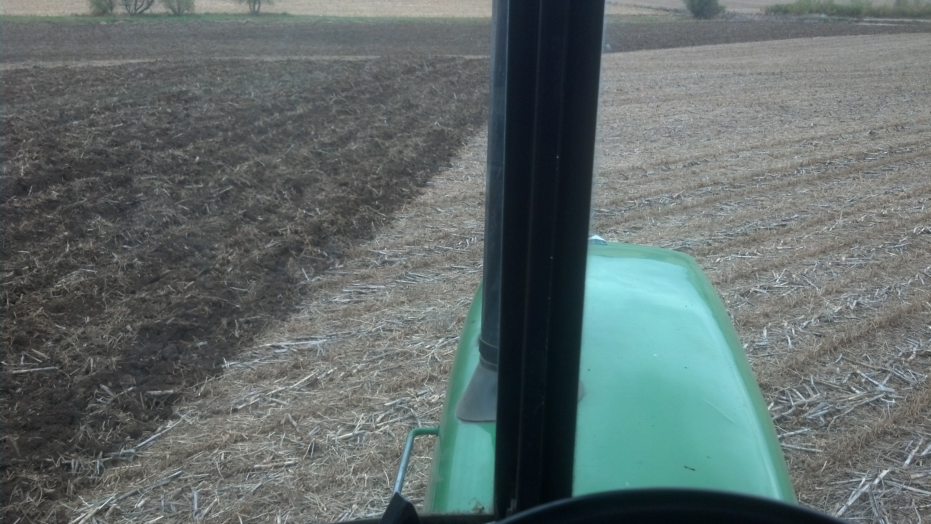
View from the 4440 while chisel plowing.
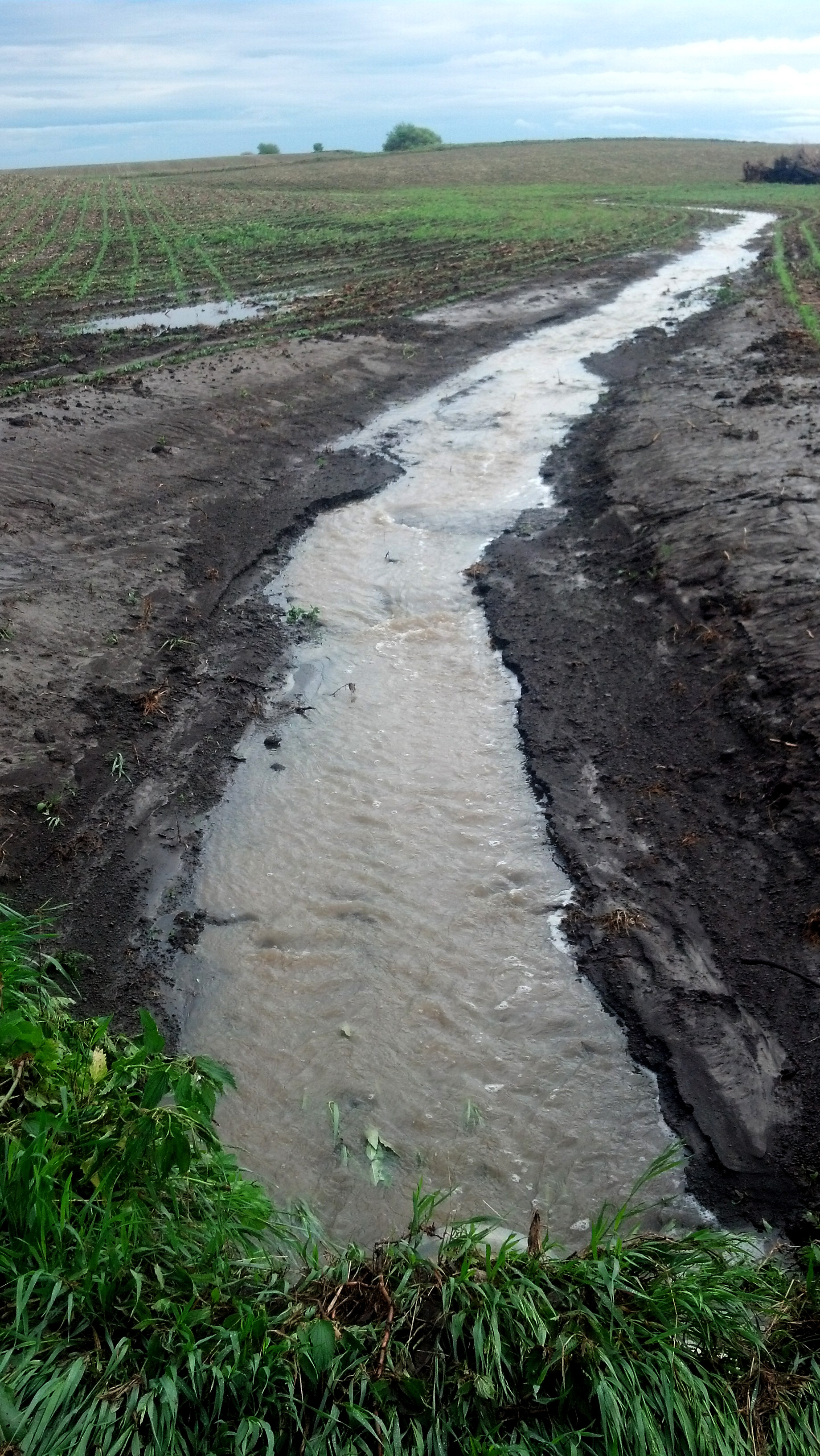
Water Runoff

Seeding Winter Rye
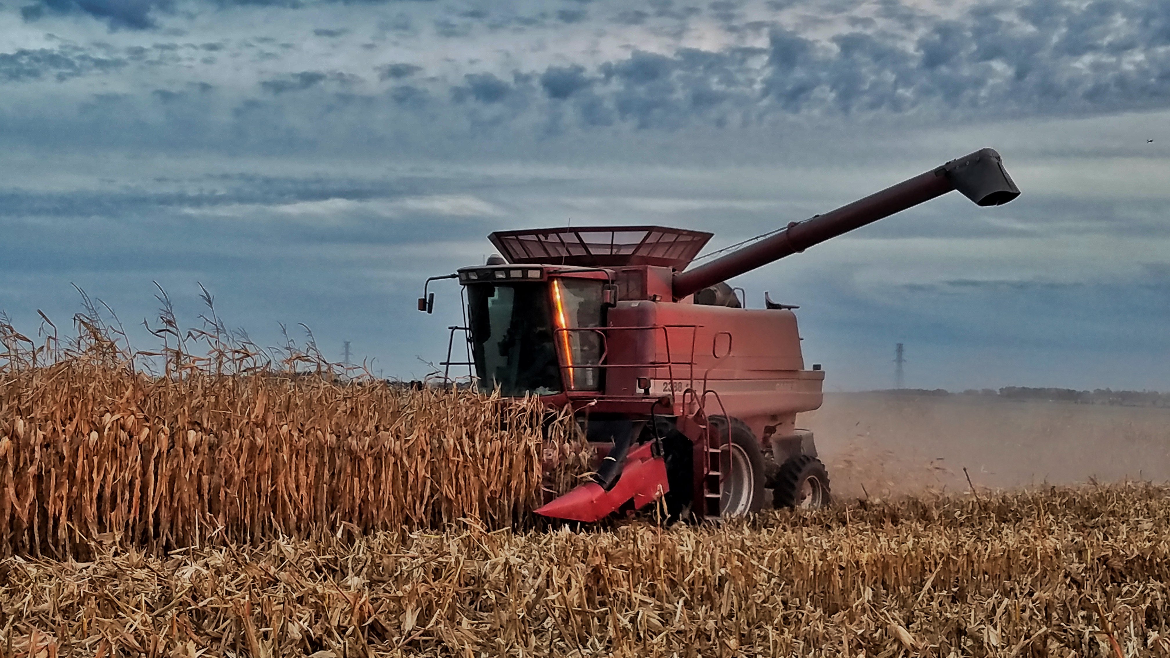
Case IH 2388 in Corn

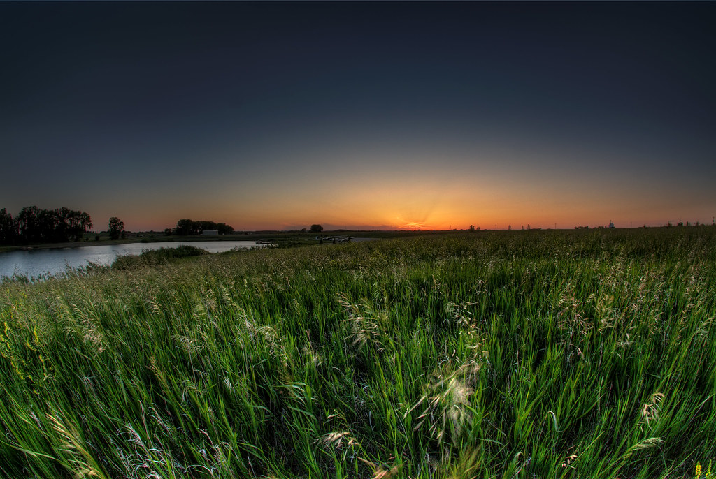
Sunset at Dewey Gevik
It's Been Too Long
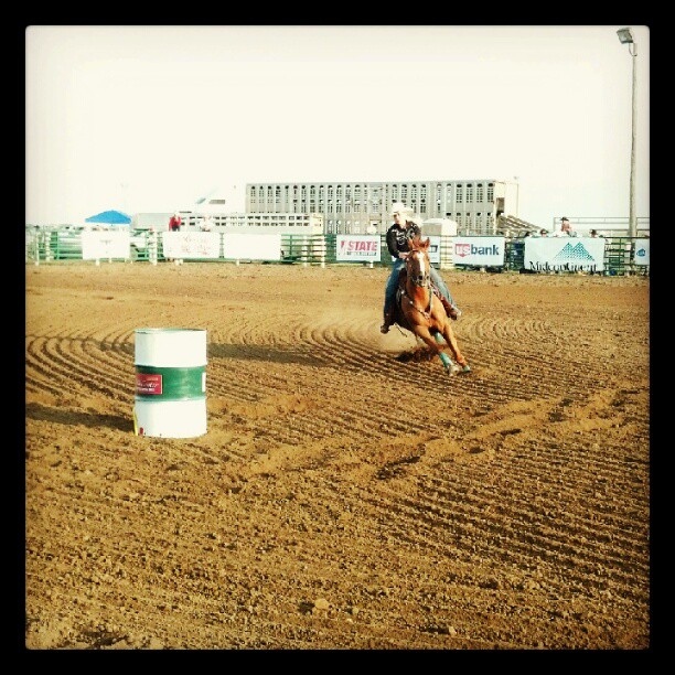
Rodeo! #travelmidwest
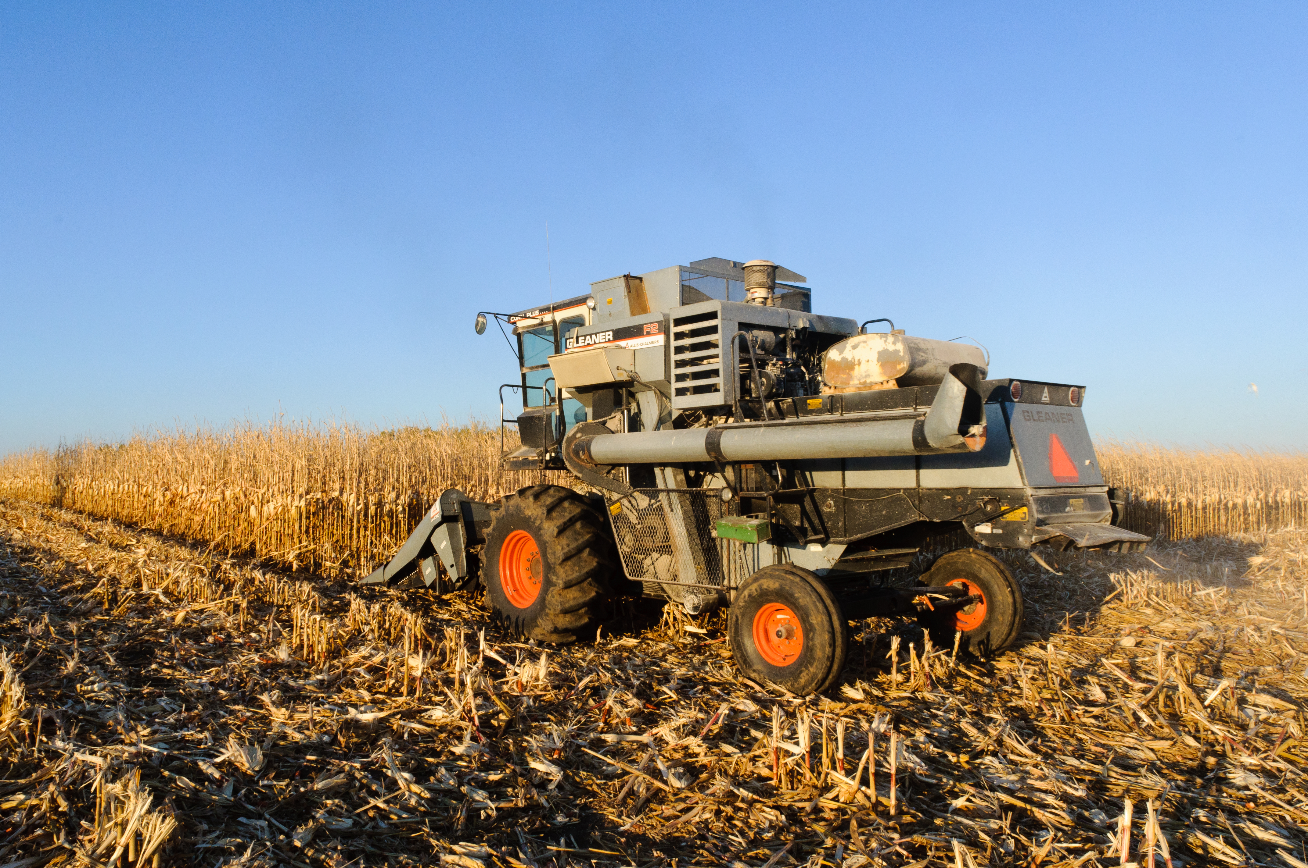
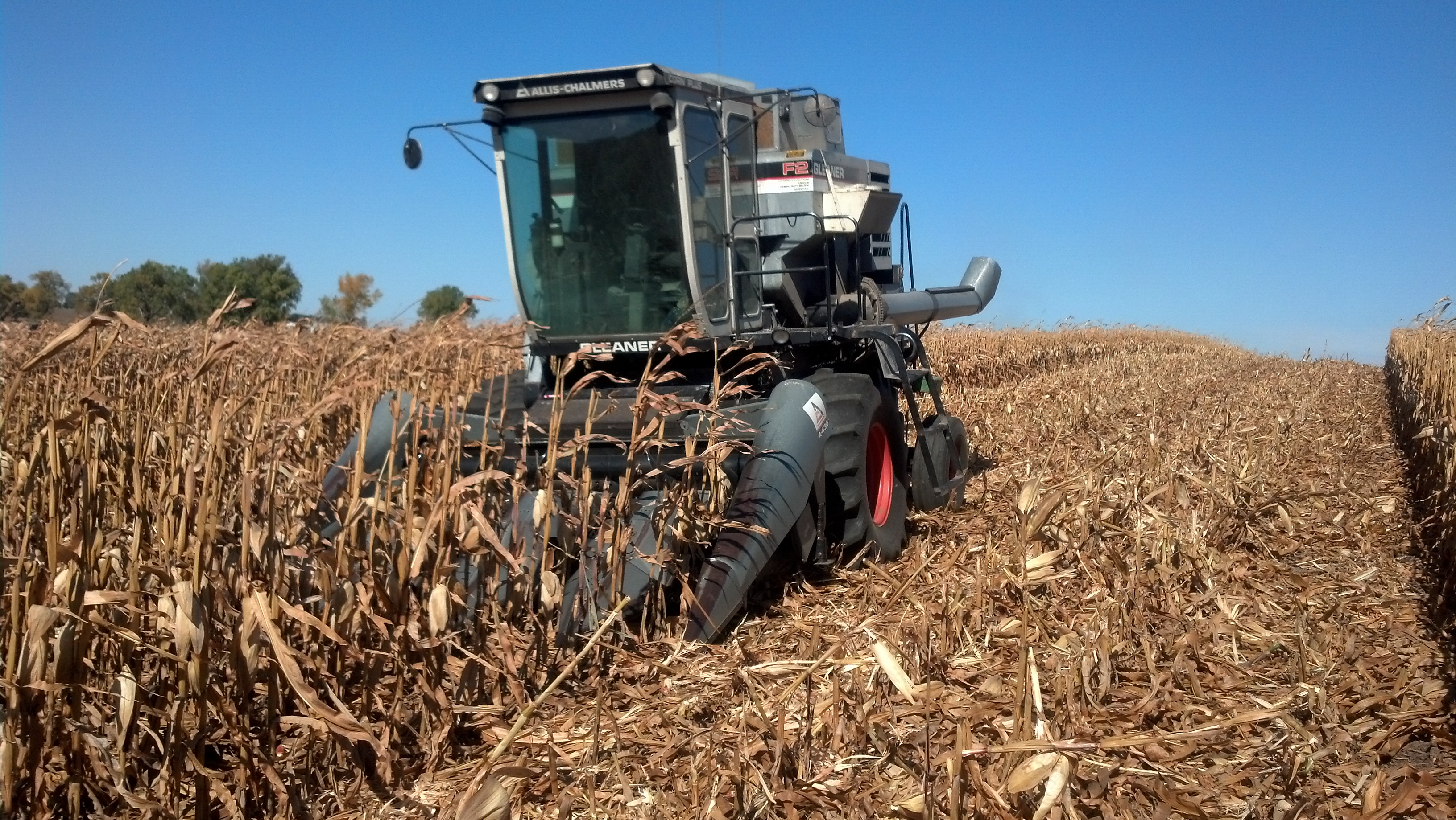
Allis-Chalmers Gleaner F2
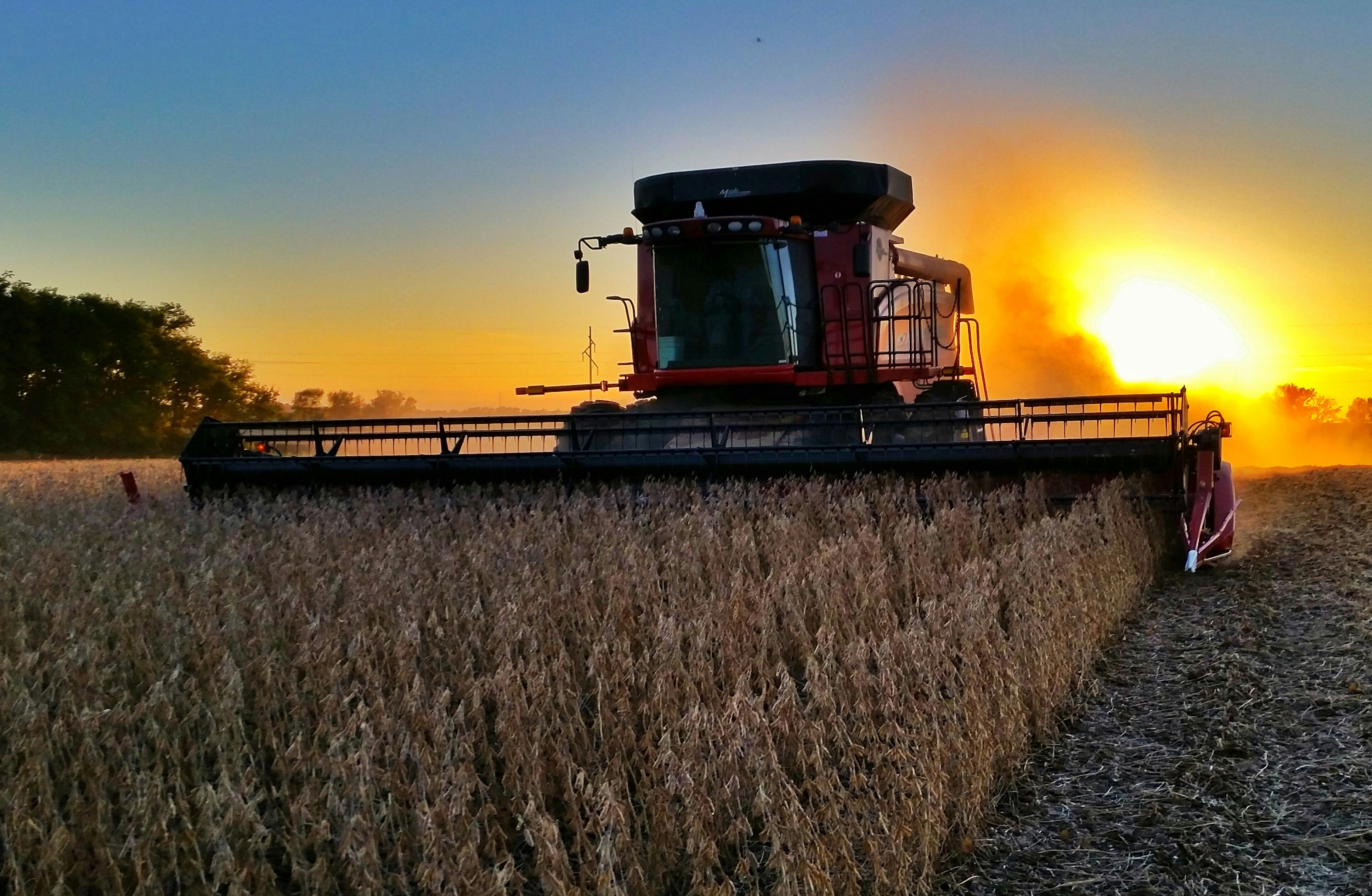
Soybean Harvest in South Dakota 2015
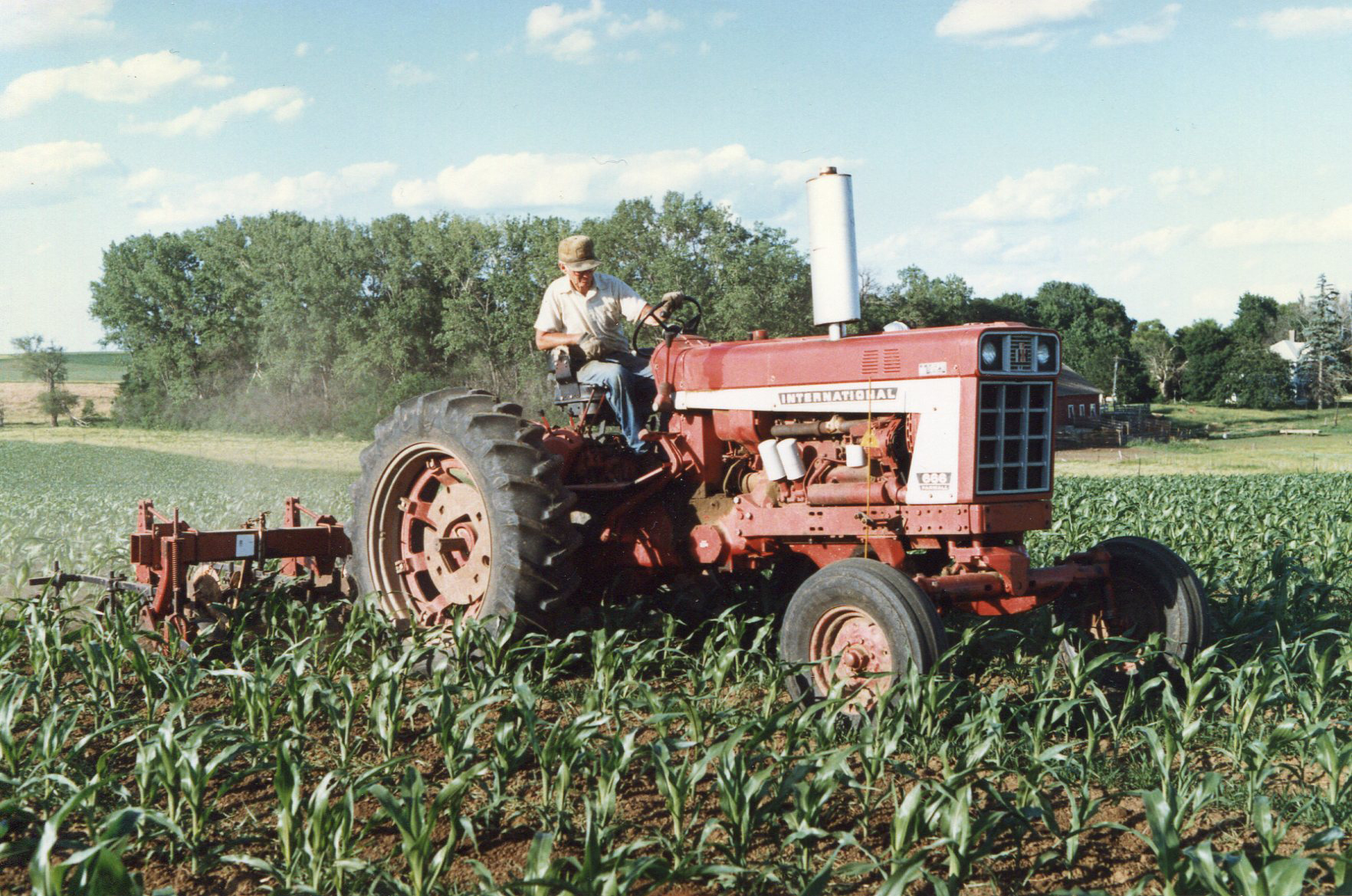
666 International Harvester Cultivating Corn
2009-08-25_15-12-27.jpg

South Dakota Sunset
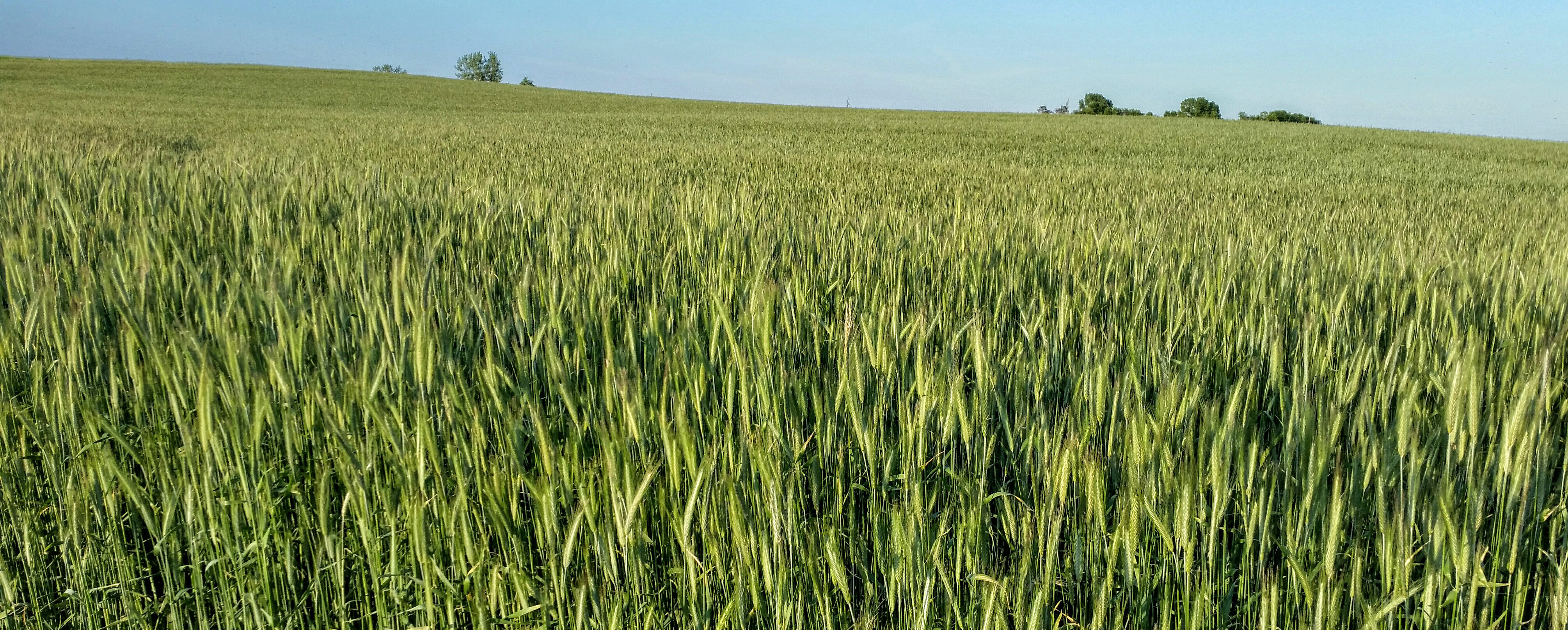
Rye Field Panorama
South Dakota

Silver Linings

_MG_0898.jpg
Grassy Hills
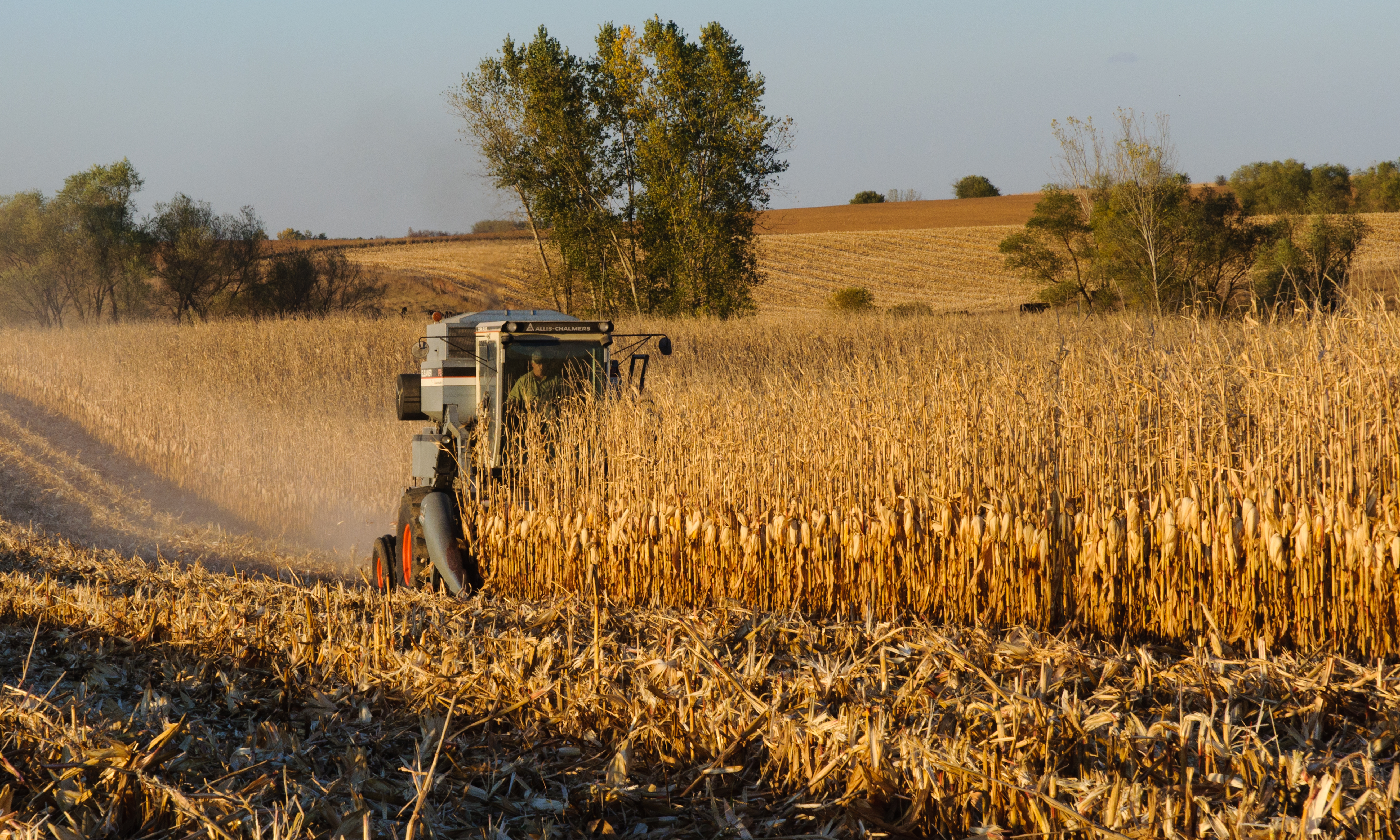
Gleaner F2 Combine Harvesting Corn
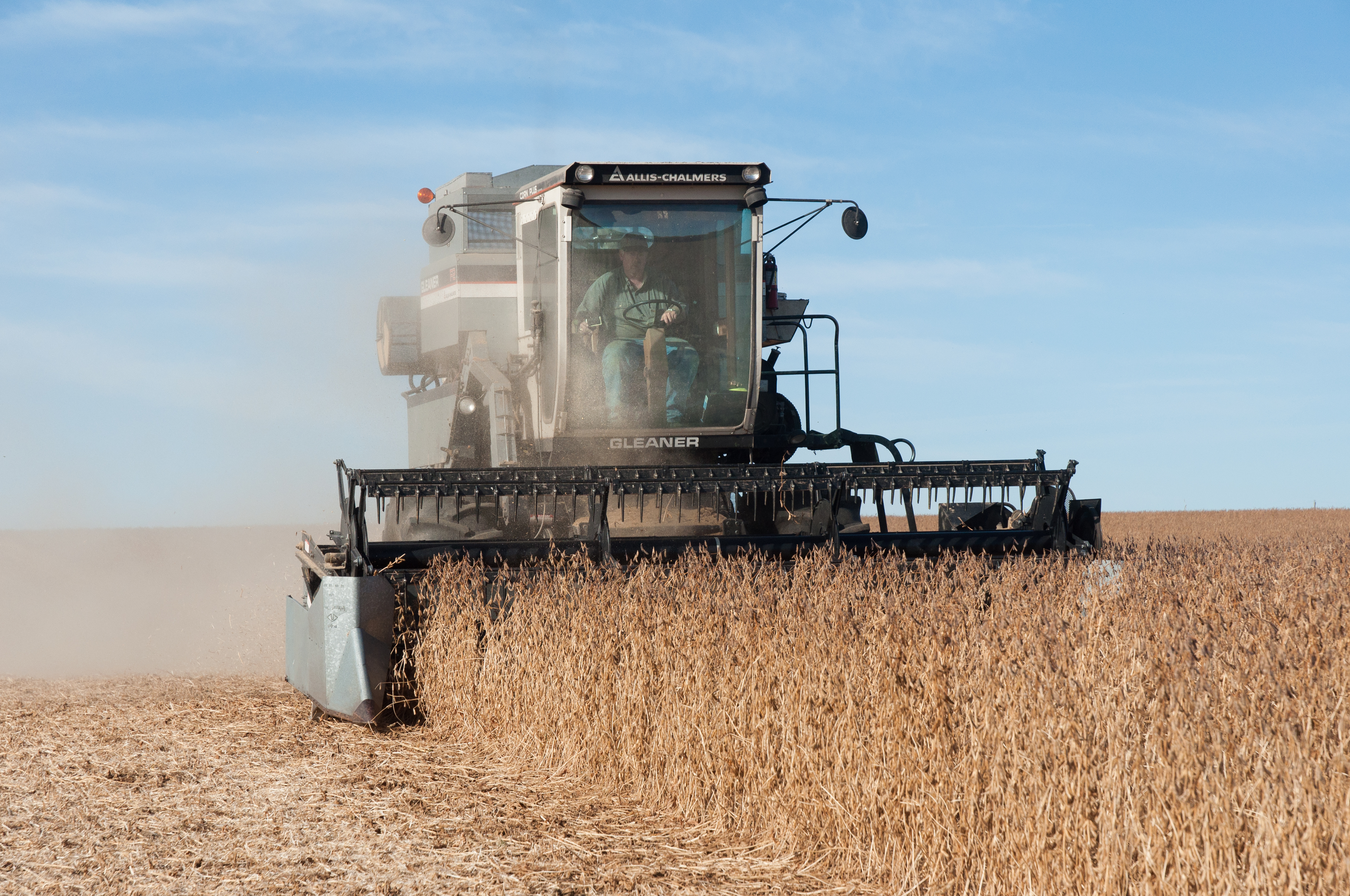
Gleaner F2 Combining Soybeans
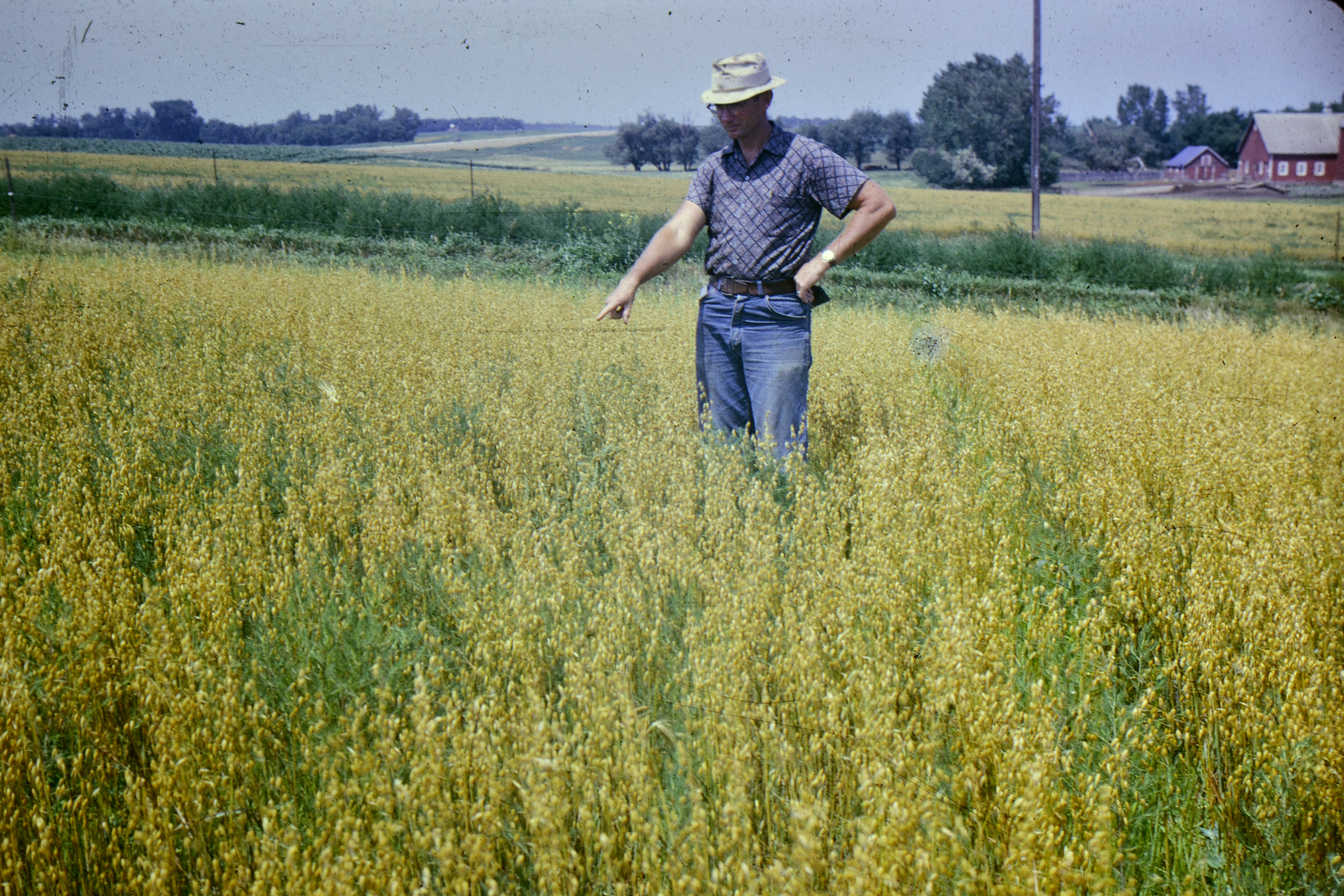
Oats Field
Eliason Farm Harvest 2011
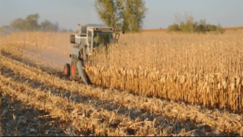
Combining corn with an F2 Gleaner
Topographic Map of Hartford, SD, USA
Find elevation by address:

Places in Hartford, SD, USA:
Places near Hartford, SD, USA:
Minnehaha County
1st Ave, Baltic, SD, USA
Crooks
Colton
Taopi Township
N Romar Dr, Sioux Falls, SD, USA
Interstate 90
Mapleton
200 East 60th St N
700 East 54th St N
5440 54th St N
1401 E Robur Dr
4200 E Producer Ln
207 E 2nd St
East 1st Street
Dell Rapids
Brandon
Pipestone St, Brandon, SD, USA
25827 484th Ave
Moody County
Recent Searches:
- Elevation of Zu den Ihlowbergen, Althüttendorf, Germany
- Elevation of Badaber, Peshawar, Khyber Pakhtunkhwa, Pakistan
- Elevation of SE Heron Loop, Lincoln City, OR, USA
- Elevation of Slanický ostrov, 01 Námestovo, Slovakia
- Elevation of Spaceport America, Co Rd A, Truth or Consequences, NM, USA
- Elevation of Warwick, RI, USA
- Elevation of Fern Rd, Whitmore, CA, USA
- Elevation of 62 Abbey St, Marshfield, MA, USA
- Elevation of Fernwood, Bradenton, FL, USA
- Elevation of Felindre, Swansea SA5 7LU, UK