Elevation of Hartali, Maharashtra, India
Location: India > Maharashtra > Pune >
Longitude: 73.8851841
Latitude: 18.1703664
Elevation: 603m / 1978feet
Barometric Pressure: 94KPa
Elevation Map:
Satellite Map:
Related Photos:

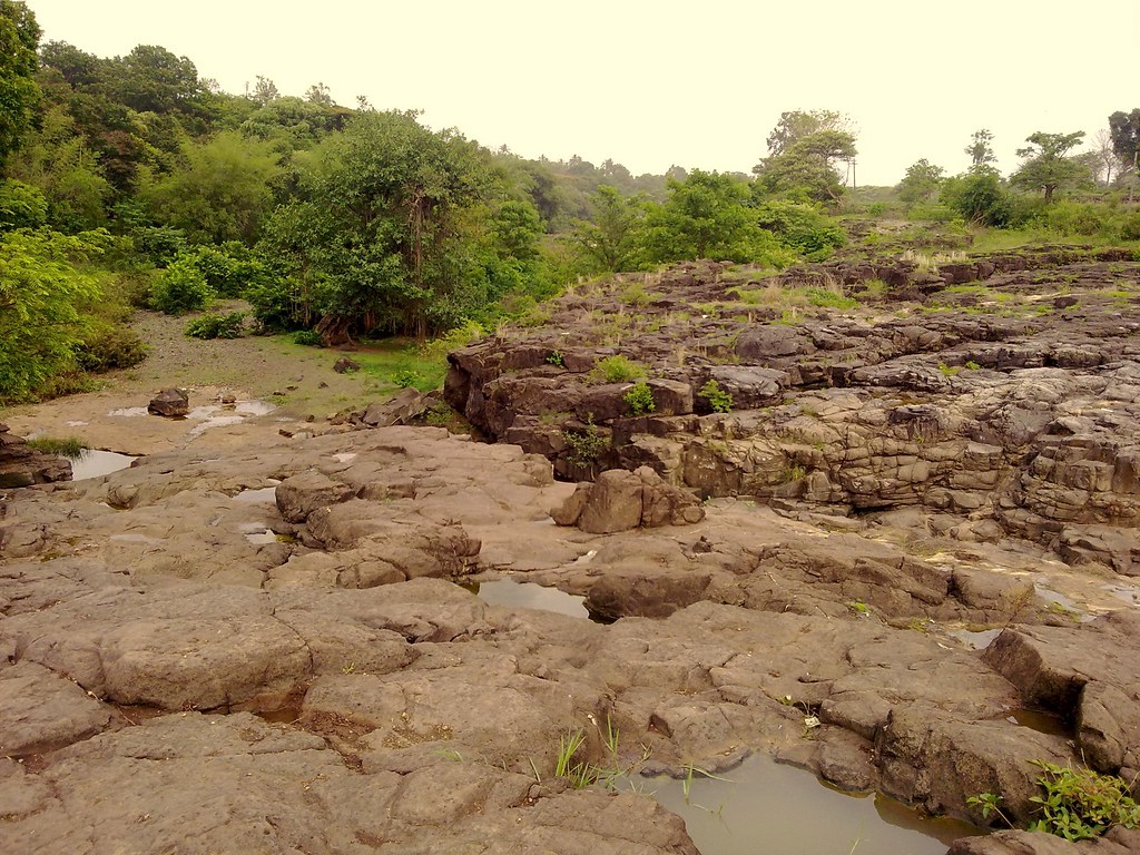
Yelwanti River

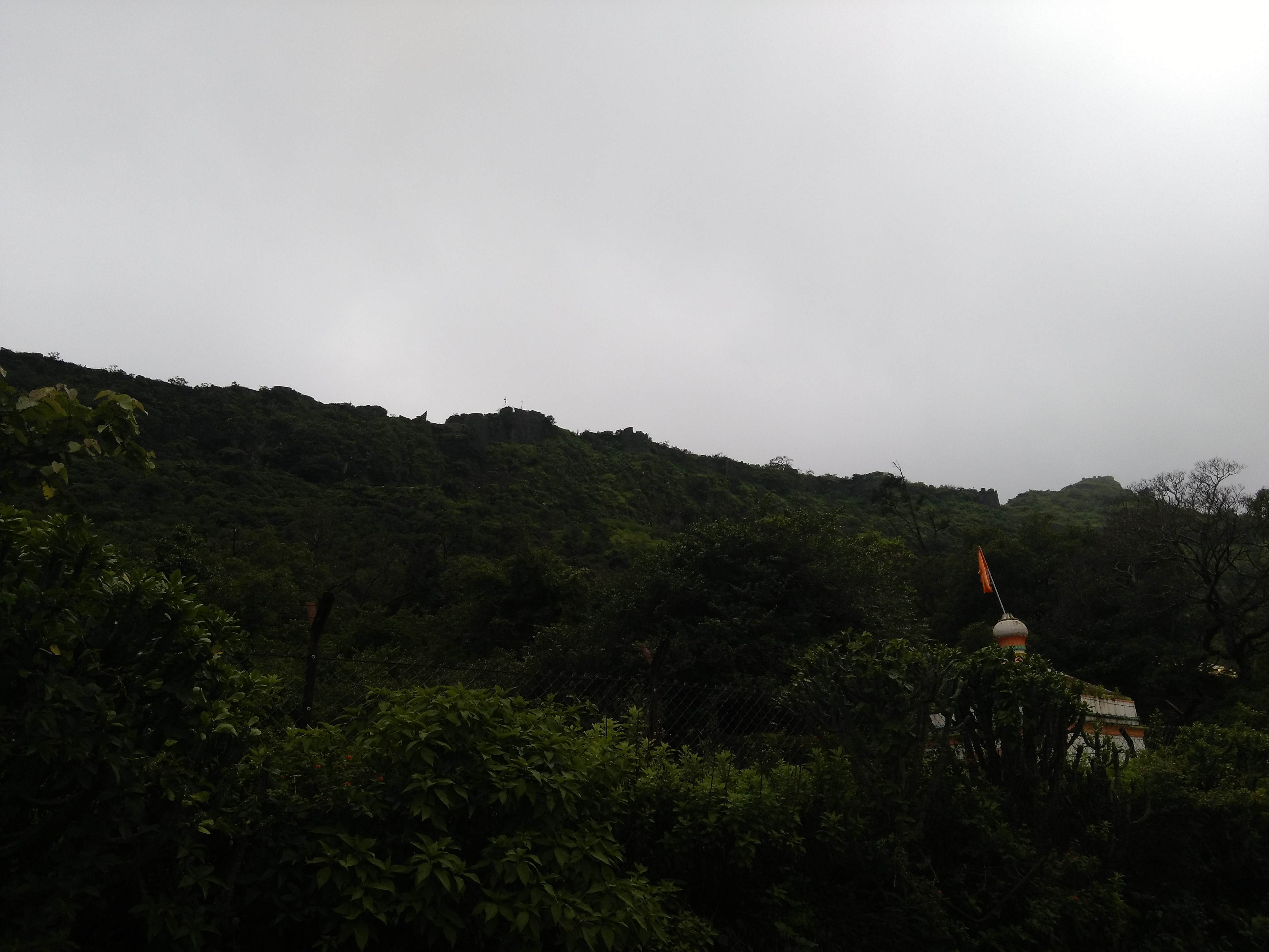
Rohida Slope

Purandar Fort Trek: View of Village

Calm ..... [ON EXPLORE]

The Mighty Mountains...!! #puneclickarts #sopune #maharashtra_ig #clouds

Banded Racer (Argyrogena fasciolata)

Baneshwar, Pune

Baneshwar, Pune

Baneshwar, Pune

Baneshwar, Pune

Baneshwar, Pune
Baneshwar, Pune
Purandar Fort Trek: Ramparts of Forts

Baneshwar, Pune

Great #weather in #satara #pune #lake #clouds #greenery #wanderlust #igerspune #maharashtra #evening #indiagram #iphone6plus #iphonegraphy #oyemyclick #potd #picoftheday #sky #beautiful #backpack #nature #hodophile #lonelyplanetindia #vsco #vscocam #VSCOi
Topographic Map of Hartali, Maharashtra, India
Find elevation by address:

Places near Hartali, Maharashtra, India:
Wadwadi
Bhatghar
Sankalp Water Supplier Wing.(talekar Vasti)
Shindewadi
Kanhavadi
Guthalwadi
Shirwal
Naigaon
Dhangarwadi
Pisalwadi
Manecolony
Bholi
Loni
Tondal
Veer - Wathar Colony Road
Veer - Wathar Colony Road
Wathar Bk.
Walhe
Jejuri
Recent Searches:
- Elevation of 7 Waterfall Way, Tomball, TX, USA
- Elevation of SW 57th Ave, Portland, OR, USA
- Elevation of Crocker Dr, Vacaville, CA, USA
- Elevation of Pu Ngaol Community Meeting Hall, HWHM+3X7, Krong Saen Monourom, Cambodia
- Elevation of Royal Ontario Museum, Queens Park, Toronto, ON M5S 2C6, Canada
- Elevation of Groblershoop, South Africa
- Elevation of Power Generation Enterprises | Industrial Diesel Generators, Oak Ave, Canyon Country, CA, USA
- Elevation of Chesaw Rd, Oroville, WA, USA
- Elevation of N, Mt Pleasant, UT, USA
- Elevation of 6 Rue Jules Ferry, Beausoleil, France