Elevation of Harrison Township, IN, USA
Location: United States > Indiana > Blackford County >
Longitude: -85.251548
Latitude: 40.5170559
Elevation: 266m / 873feet
Barometric Pressure: 98KPa
Elevation Map:
Satellite Map:
Related Photos:

Blackford County Courthouse HDR
Southern Wells Gym

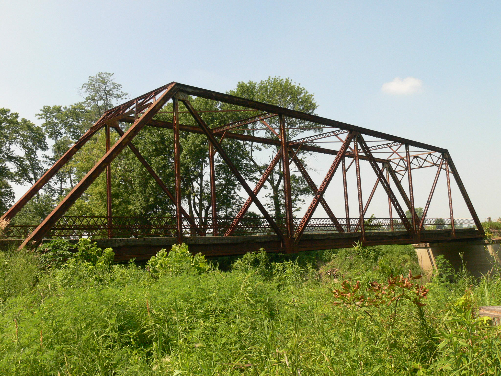
Twin Hills 1910
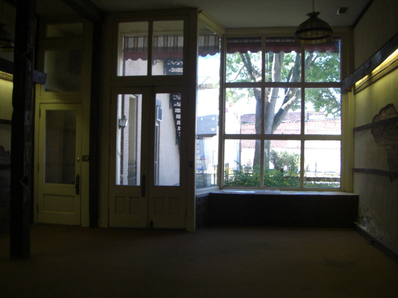
Looking out the Storefront/Gallery

View from the park
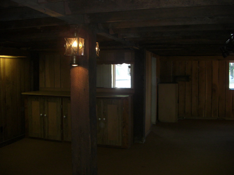
View from the Gallery into the Kitchen

Doll Room - Village Pottery Shop HDR
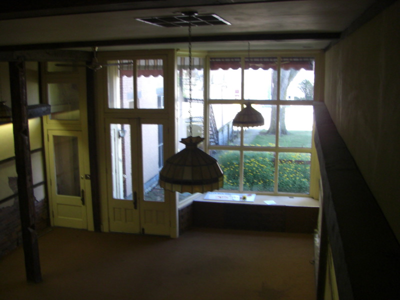
Looking into the Gallery from the Loft
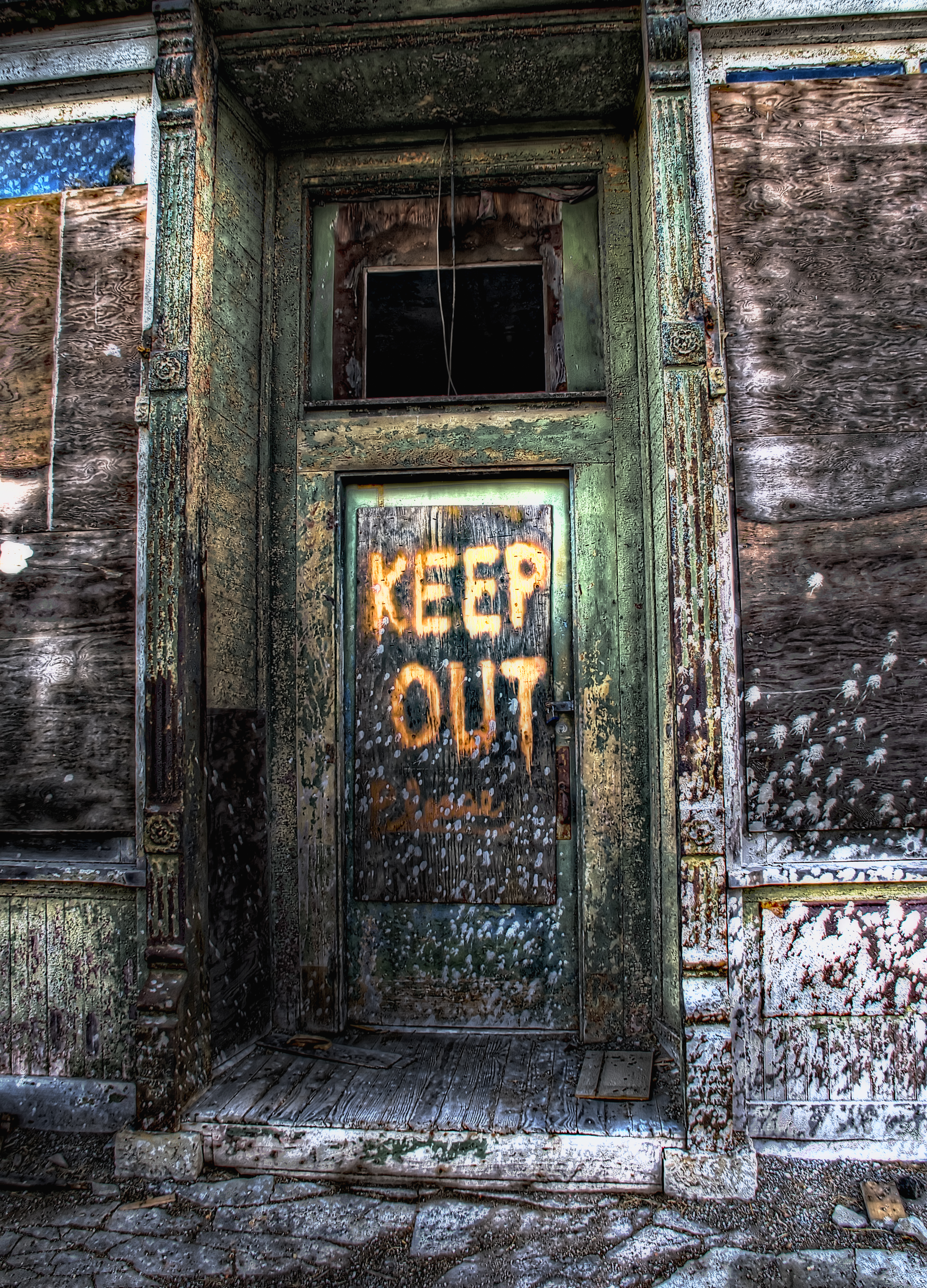
Keep Out HDR

Shed HDR
A Portal View
Baldwin Park - Montpelier, IN
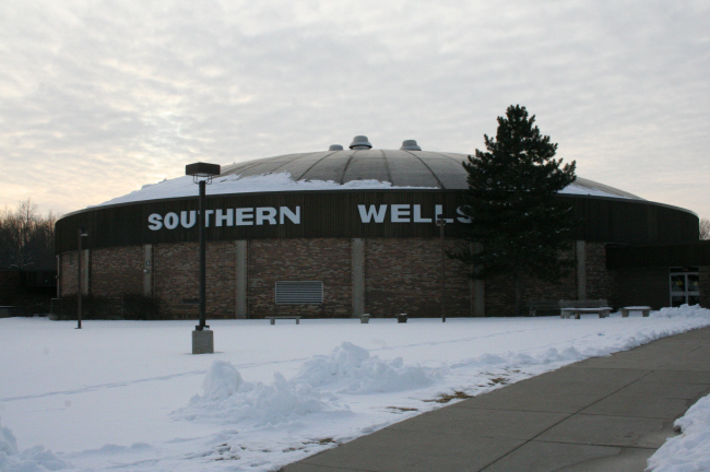
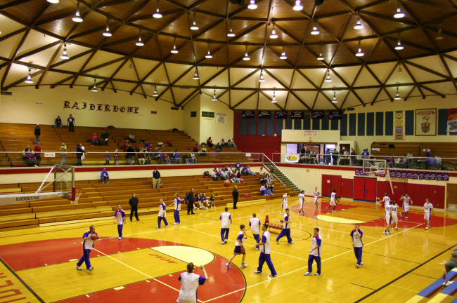
Southern Wells High School Gym
Zig Zag

Fall in Indiana

Poneto Sunset
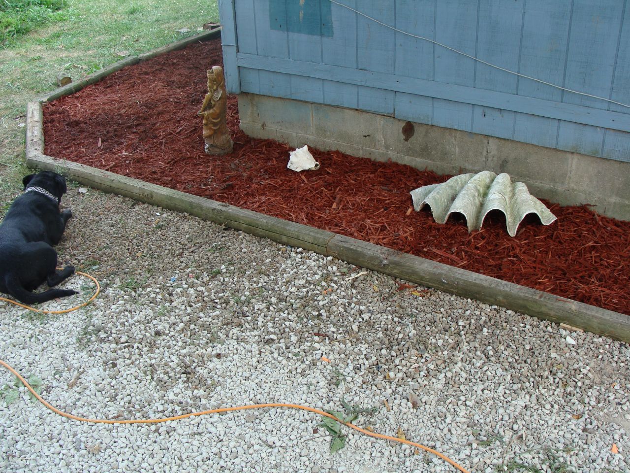
Garden Progress

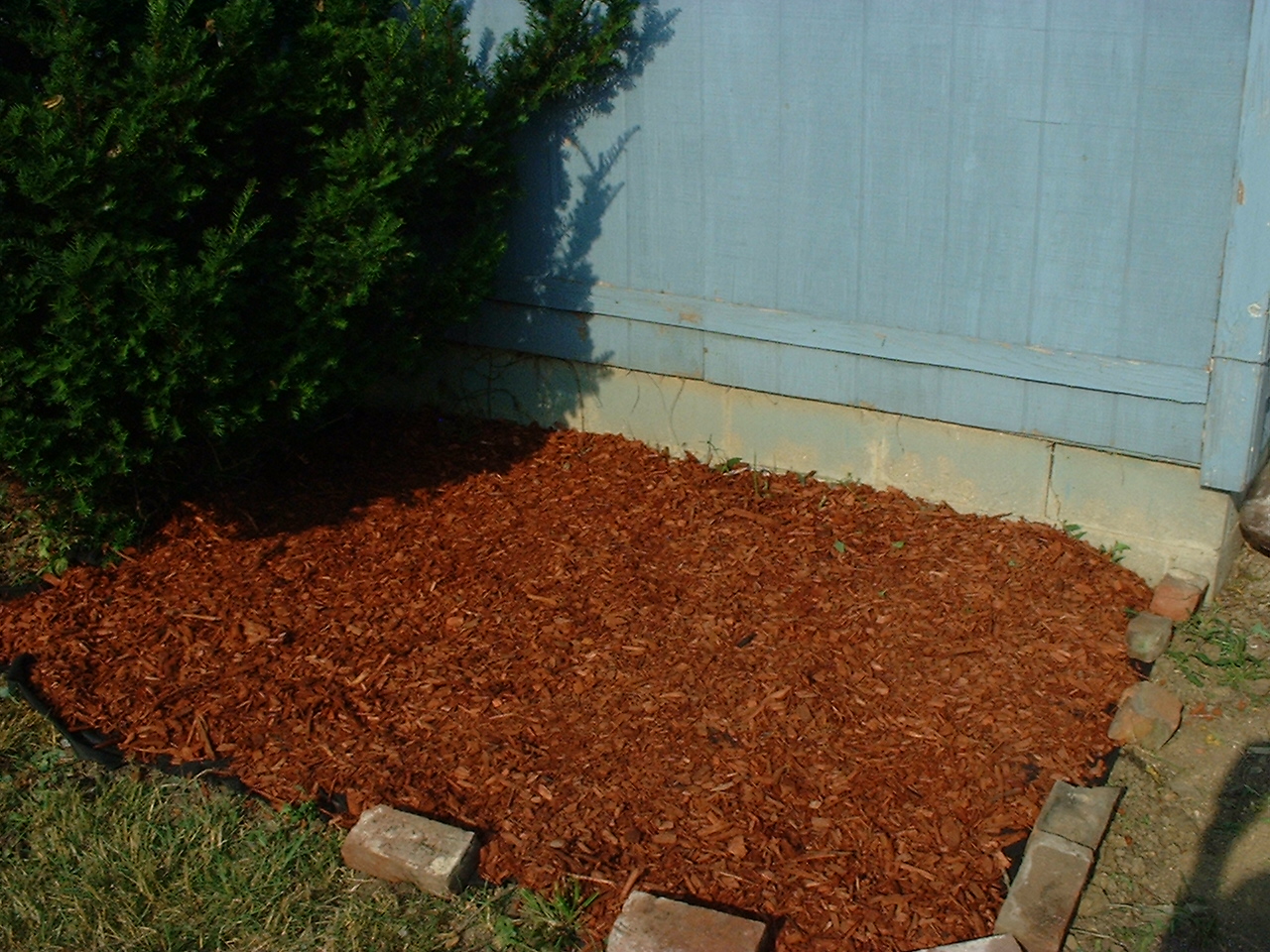
Garden - Before 2008
Garden - After 2008
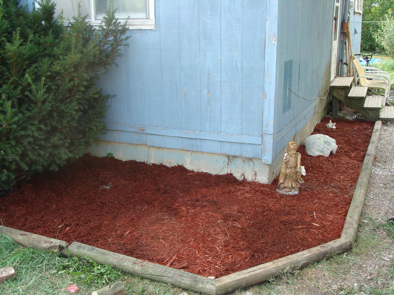
Garden - After 2008

Civil War Days Hartford City, Indiana
Topographic Map of Harrison Township, IN, USA
Find elevation by address:

Places in Harrison Township, IN, USA:
Places near Harrison Township, IN, USA:
500 N 500 E
E Huntington St, Montpelier, IN, USA
Montpelier
Blackford County
South E, Hartford City, IN, USA
Jackson Township
Penn Township
9770 S 200 W
Chester Township
SE Jeff Rd, Montpelier, IN, USA
Pennville
IN-1, Montpelier, IN, USA
Washington Township
S W, Warren, IN, USA
W Washington St, Hartford City, IN, USA
Hartford City
1401 S Jefferson St
N W, Hartford City, IN, USA
Nottingham Township
Jackson Township
Recent Searches:
- Elevation of Congressional Dr, Stevensville, MD, USA
- Elevation of Bellview Rd, McLean, VA, USA
- Elevation of Stage Island Rd, Chatham, MA, USA
- Elevation of Shibuya Scramble Crossing, 21 Udagawacho, Shibuya City, Tokyo -, Japan
- Elevation of Jadagoniai, Kaunas District Municipality, Lithuania
- Elevation of Pagonija rock, Kranto 7-oji g. 8"N, Kaunas, Lithuania
- Elevation of Co Rd 87, Jamestown, CO, USA
- Elevation of Tenjo, Cundinamarca, Colombia
- Elevation of Côte-des-Neiges, Montreal, QC H4A 3J6, Canada
- Elevation of Bobcat Dr, Helena, MT, USA