Elevation of Harrismith, N3, N3, South Africa
Location: South Africa > Free State > Thabo Mofutsanyane > Phumelela Local Municipality >
Longitude: 28.988318
Latitude: -28.006971
Elevation: 1641m / 5384feet
Barometric Pressure: 83KPa
Elevation Map:
Satellite Map:
Related Photos:

The Earth and the Sky
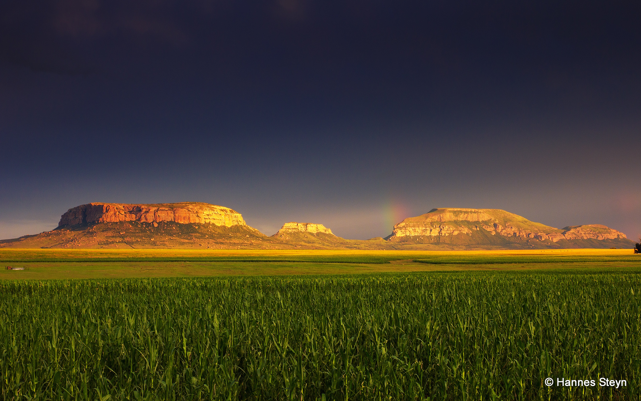
Harrismith mountains

Free State sunset

Thanks Google Maps! Crazy traffic in #Jozi #traffic #Roadtrip
Topographic Map of Harrismith, N3, N3, South Africa
Find elevation by address:

Places near Harrismith, N3, N3, South Africa:
Recent Searches:
- Elevation of Crystal Cir, Birmingham, AL, USA
- Elevation of N Railroad Ave, West Palm Beach, FL, USA
- Elevation of 55 Cassick Valley Rd, Wellfleet, MA, USA
- Elevation of Ironwood Dr, Minden, NV, USA
- Elevation of 高尾山口駅, Takaomachi, Hachioji, Tokyo -, Japan
- Elevation of 15 Victory Ave, Greenville, SC, USA
- Elevation of Kota Ternate Utara, Ternate City, North Maluku, Indonesia
- Elevation of Allon St, Oceanside, NY, USA
- Elevation of Carroll Creek Rd, Custer, SD, USA
- Elevation of Lust Road, Lust Rd, Florida, USA