Elevation of Harrisburg, NY, USA
Location: United States > New York > Lewis County >
Longitude: -75.644084
Latitude: 43.8109024
Elevation: 500m / 1640feet
Barometric Pressure: 95KPa
Elevation Map:
Satellite Map:
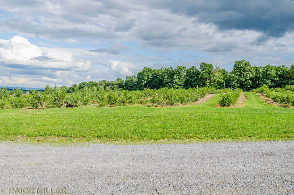
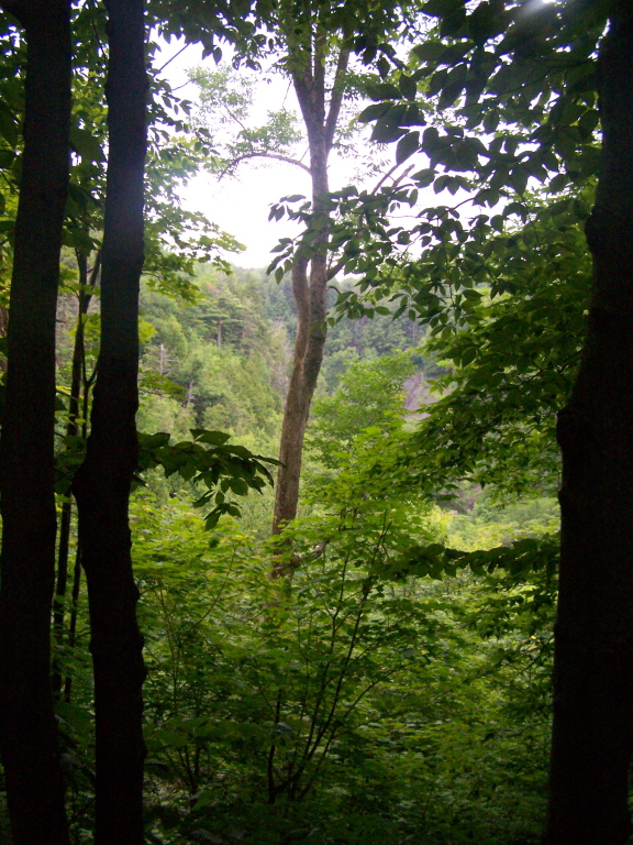
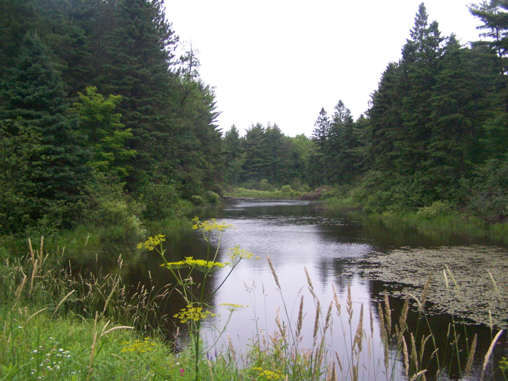
Related Photos:
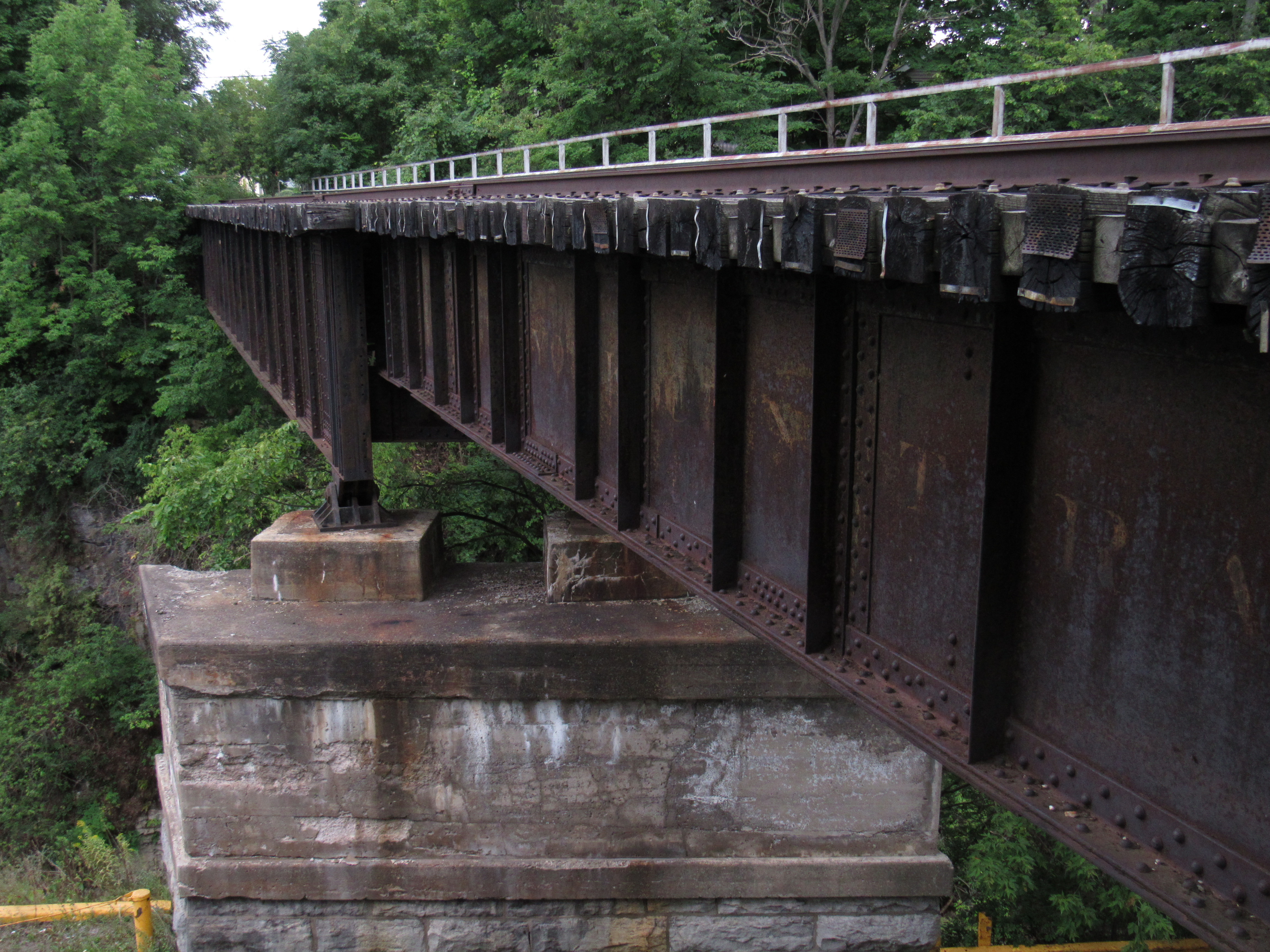
NYC-R.W.&O. RR Bridge, Lowville, NY

Count 'Em -- There Are One Hundred Eighty Six (186)!
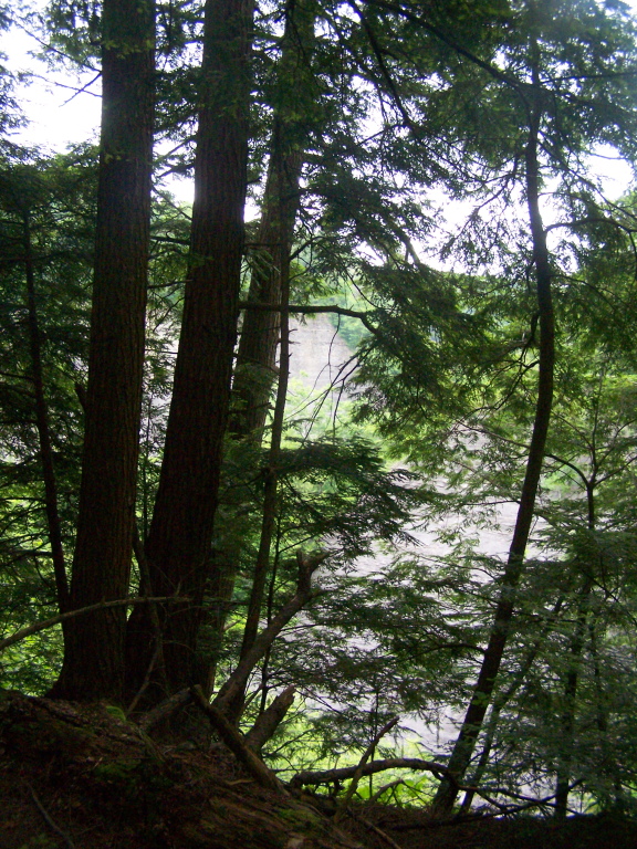
More Trees Blocking Views Into Gulf
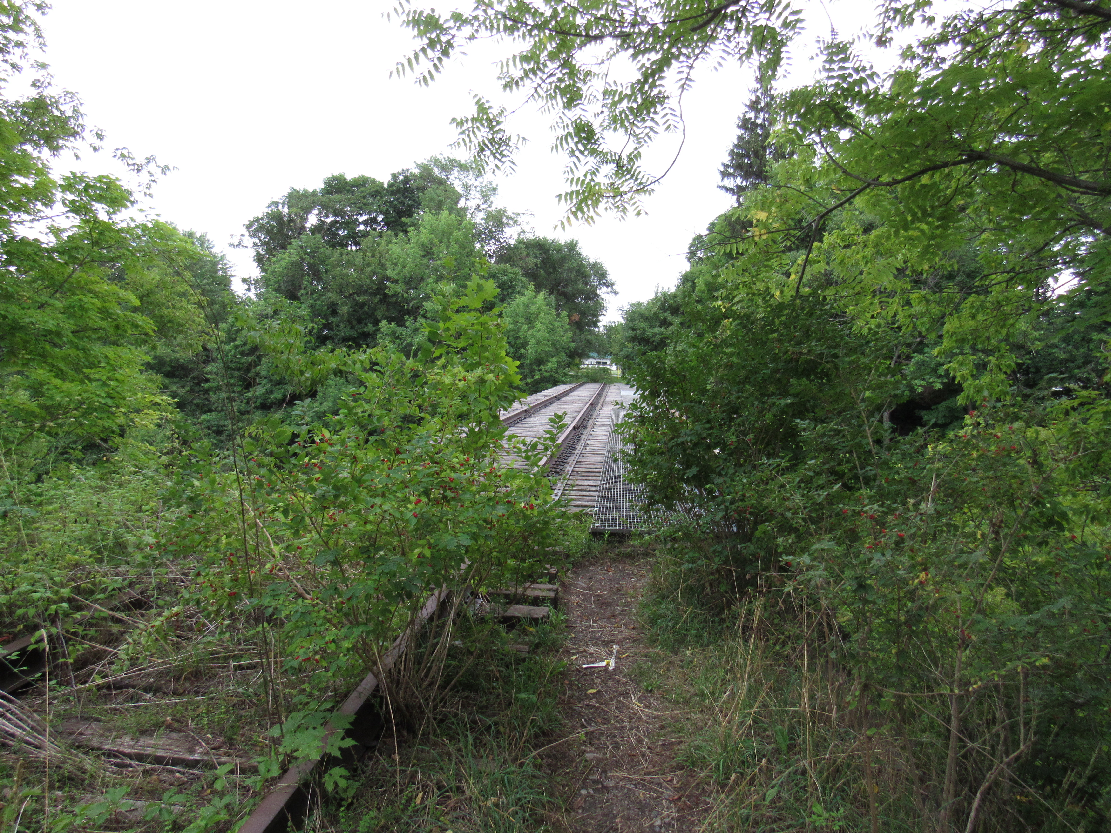
NYC-R.W.&O. RR Bridge, Lowville, NY

Chelsea & Matt

Darcy's Wedding
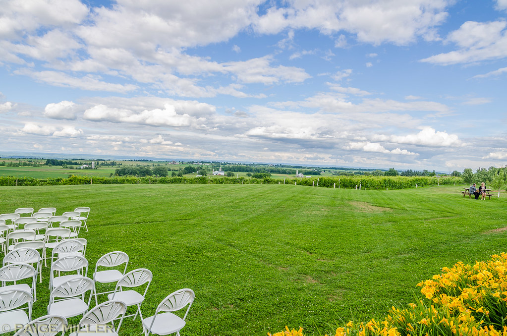
Darcy's Wedding
Darcy's Wedding

East Into Gorge

Walking at Inman Gulf
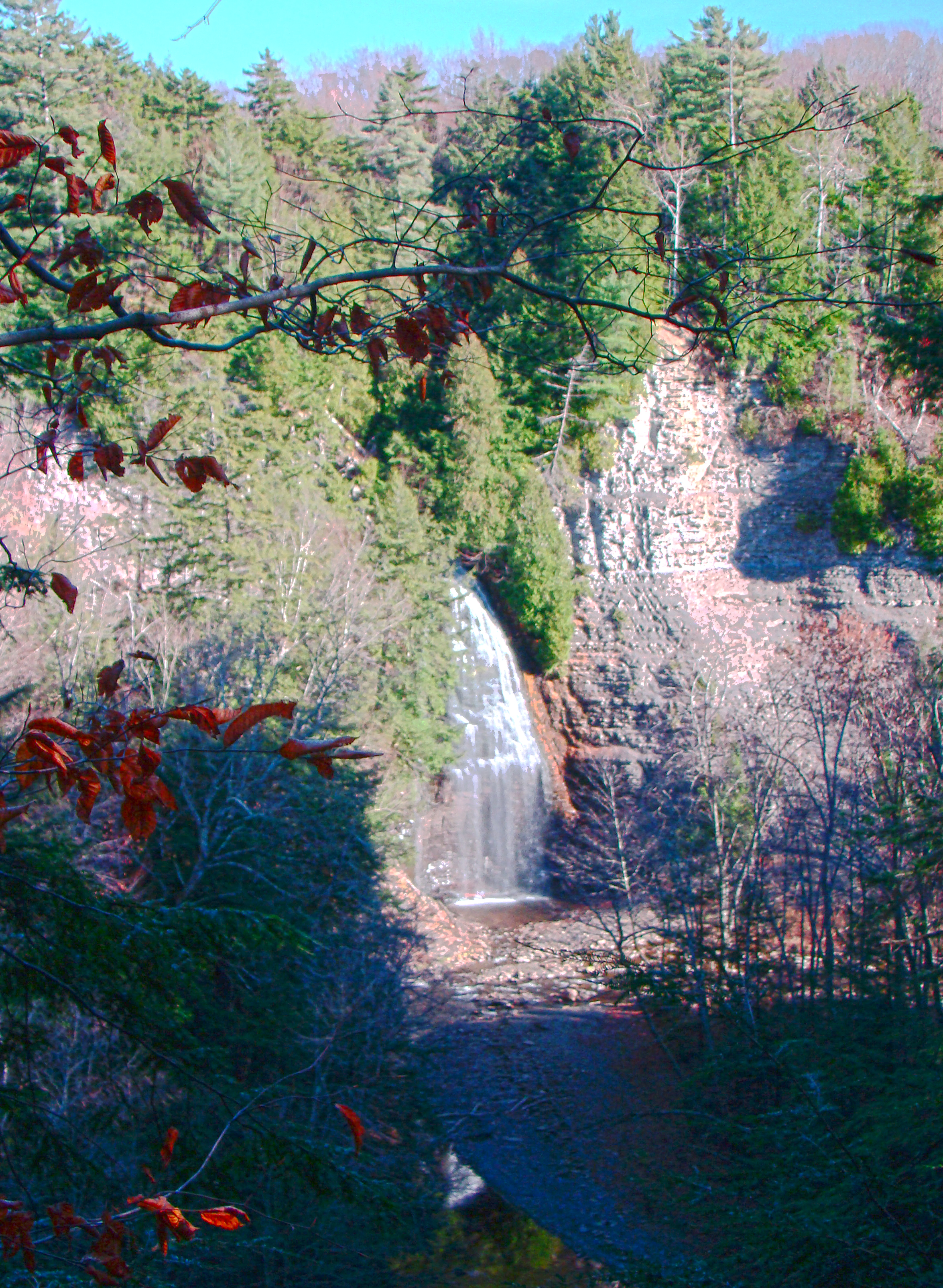
Rainbow Falls HDR
Peering Into the Gulf
Looking Into Valley Above Gorge
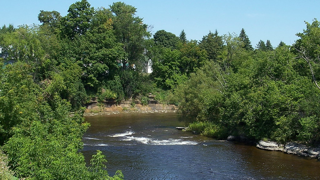
ny08h09 Copenhagen, New York, River 2008

Abandoned house in West Lowville NY 3

Abandoned house in West Lowville NY 1

Roaring Brook stream Lowville NY 2

Windmills in Lowville NY 2
Looking Into Inman Gulf

Windmill 2
Topographic Map of Harrisburg, NY, USA
Find elevation by address:

Places in Harrisburg, NY, USA:
Places near Harrisburg, NY, USA:
7154 Van Dressen Rd
7958 Cobb Rd
Beetle Rd, Lowville, NY, USA
Copenhagen
3019 Mechanic St
9967 Ny-12 #12
Barnes Corners, NY, USA
10265 Plank Rd
Denmark
Deer River
Watson Road
Pinckney
16601 Churchill Rd
Barnes Corners
8057 Seven By Nine Rd
Odell Rd, Copenhagen, NY, USA
Rutland
Worth
10947 Lowe Rd
Woodruff Settlement Road
Recent Searches:
- Elevation of Woolwine, VA, USA
- Elevation of Lumagwas Diversified Farmers Multi-Purpose Cooperative, Lumagwas, Adtuyon, RV32+MH7, Pangantucan, Bukidnon, Philippines
- Elevation of Homestead Ridge, New Braunfels, TX, USA
- Elevation of Orchard Road, Orchard Rd, Marlborough, NY, USA
- Elevation of 12 Hutchinson Woods Dr, Fletcher, NC, USA
- Elevation of Holloway Ave, San Francisco, CA, USA
- Elevation of Norfolk, NY, USA
- Elevation of - San Marcos Pass Rd, Santa Barbara, CA, USA
- Elevation of th Pl SE, Issaquah, WA, USA
- Elevation of 82- D Rd, Captain Cook, HI, USA