Elevation of Harriman Point Road, Harriman Point Rd, Brooklin, ME, USA
Location: United States > Maine > Hancock County > Brooklin >
Longitude: -68.547290
Latitude: 44.2882075
Elevation: 8m / 26feet
Barometric Pressure: 101KPa
Elevation Map:
Satellite Map:
Related Photos:

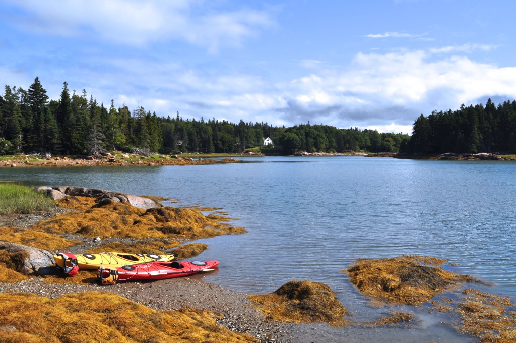
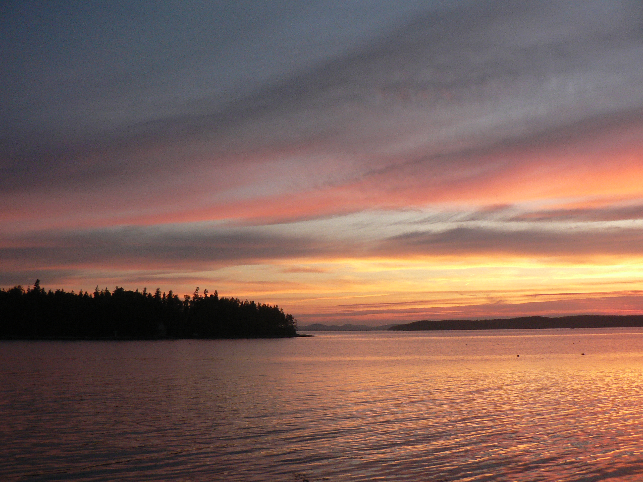
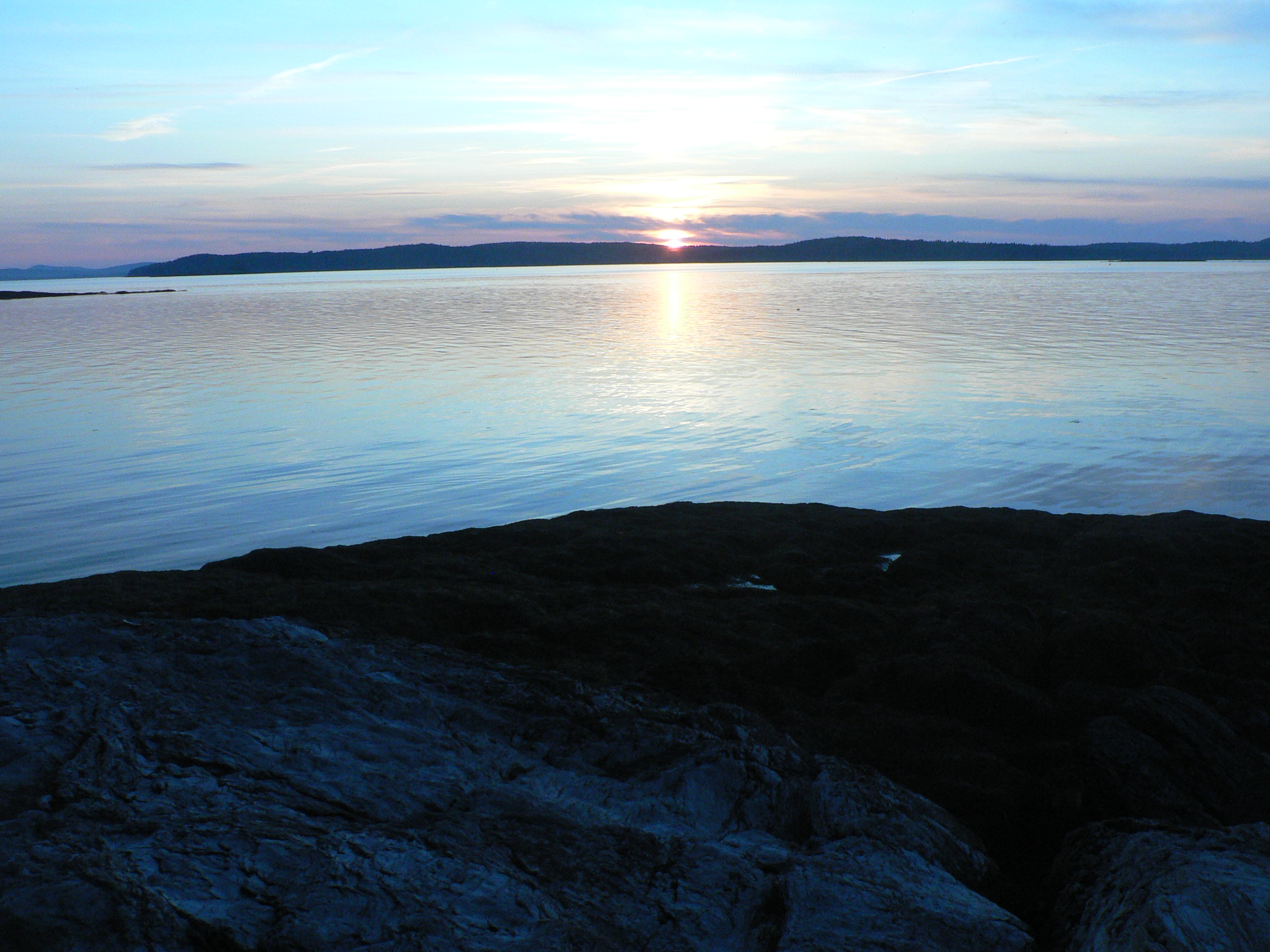
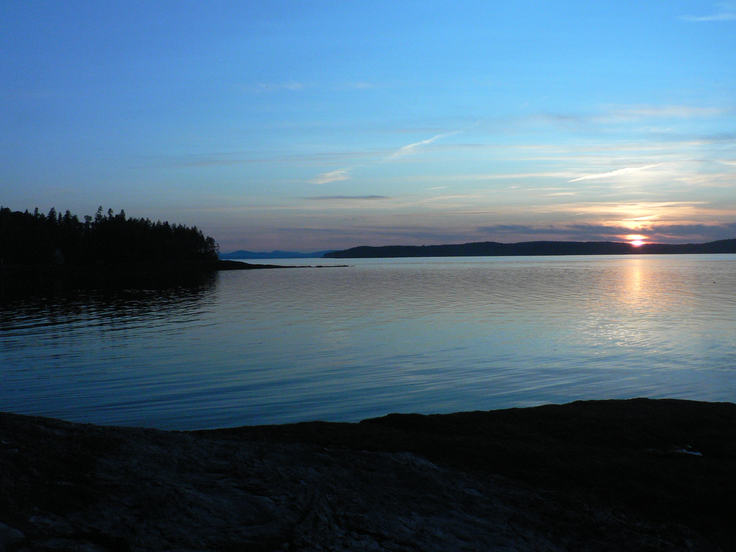
Brooklin Dawn
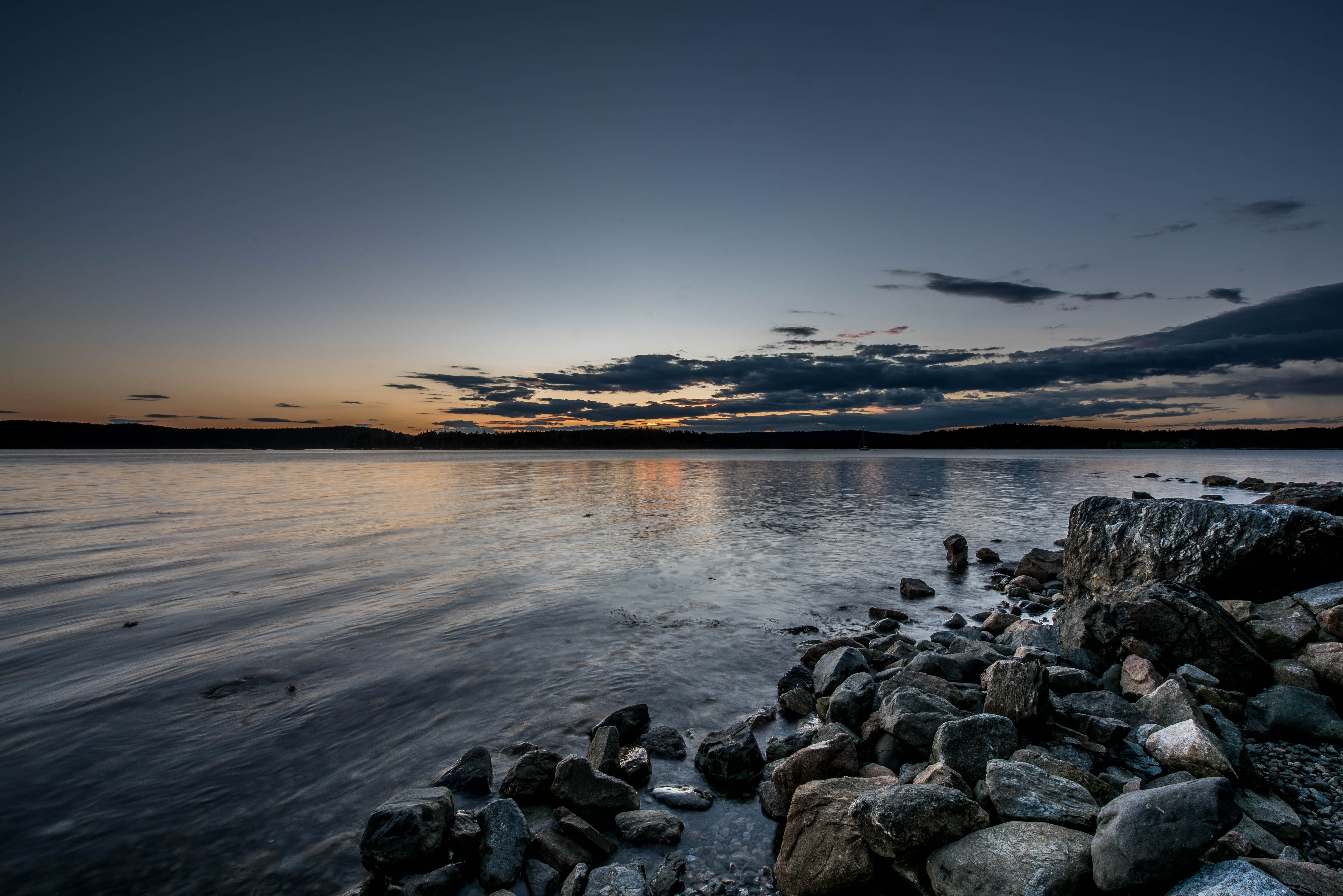
View from Big Hay Island

R_20090831181356_162-Edit

The low tide walkway to the Flye Point Lighthouse (AKA Blue Hill Bay Light)
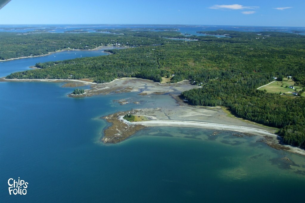
Aerial View of Deer Isle, Maine

Aerial View (1) of the Deer Isle - Sedgwick Bridge
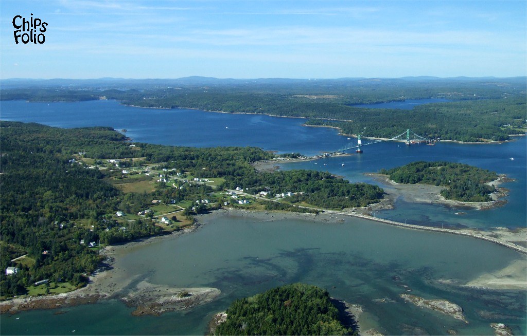
Aerial View of Little Deer Isle and the Deer Isle - Sedgwick Bridge
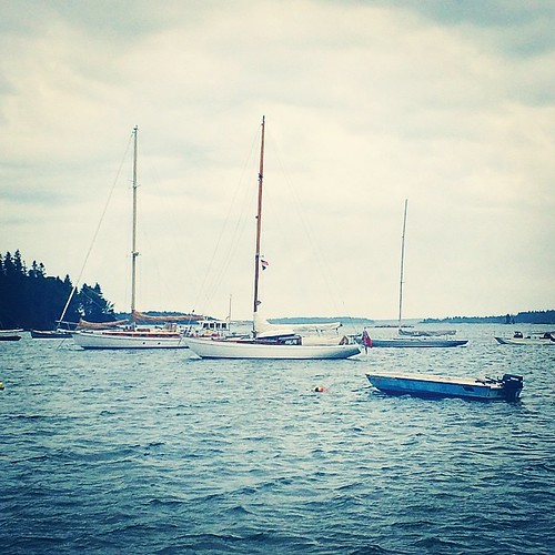
In port and our view. Waiting for rain and storm. May be here next twenty four hours. Time to figure out how to relax.

View From A Hill
Window View
Autumn View from Caterpillar Hill

The Camden Hills

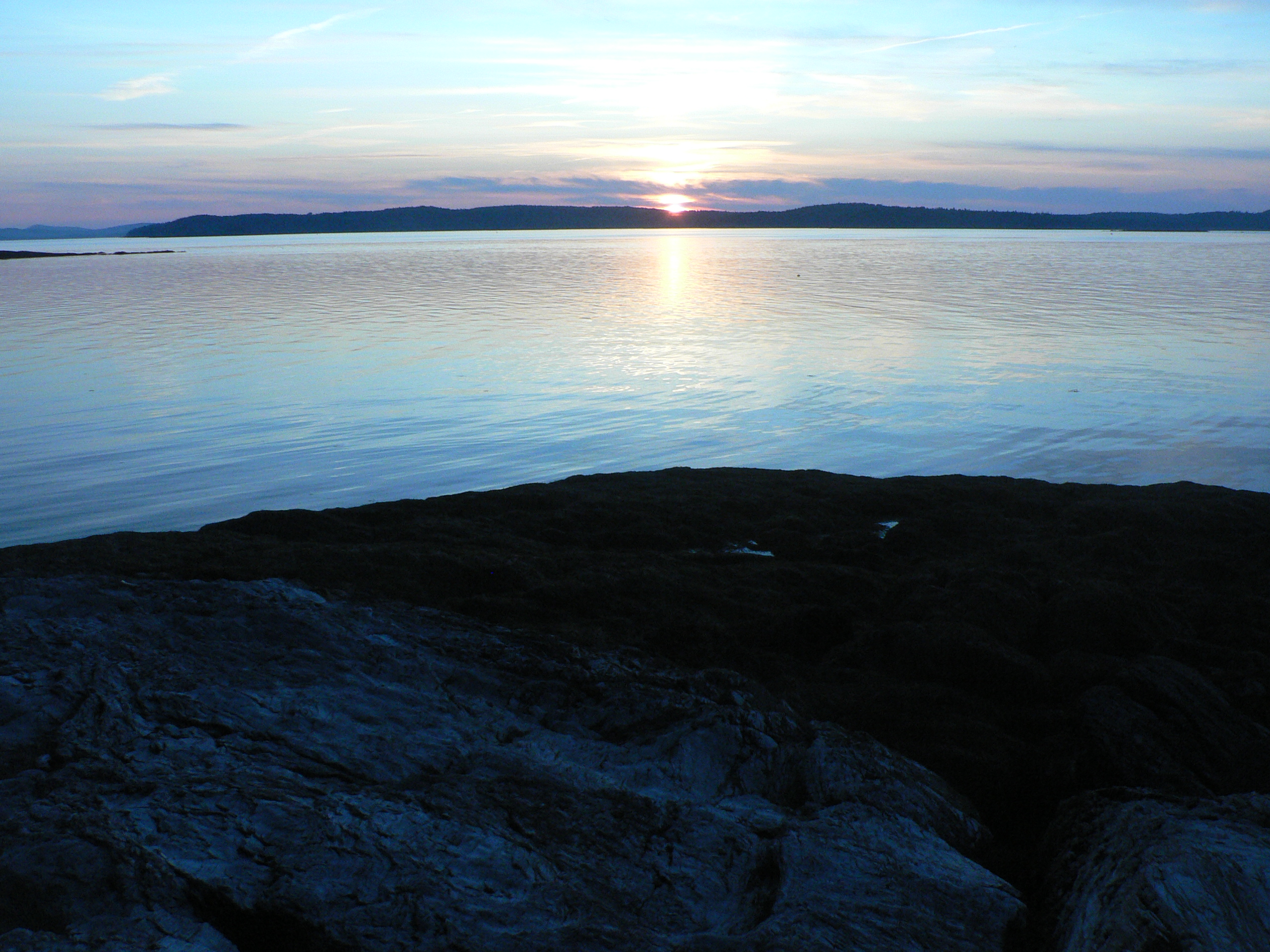
view from ledge in front of Thresholds

good morning
self-composed
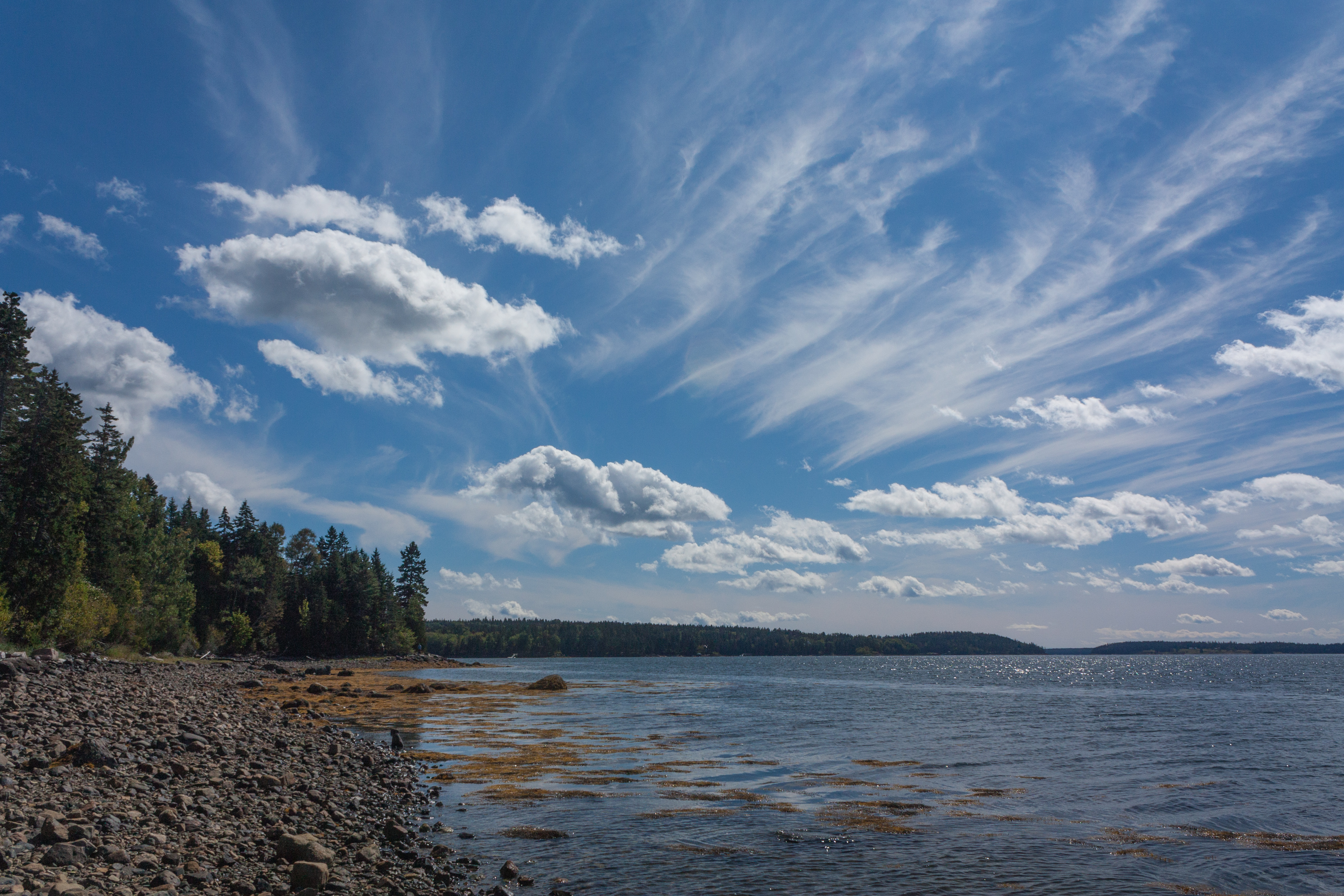
2012 October 14 - A view along the coast, Downeast in Maine
View from Pretty Marsh Cabin
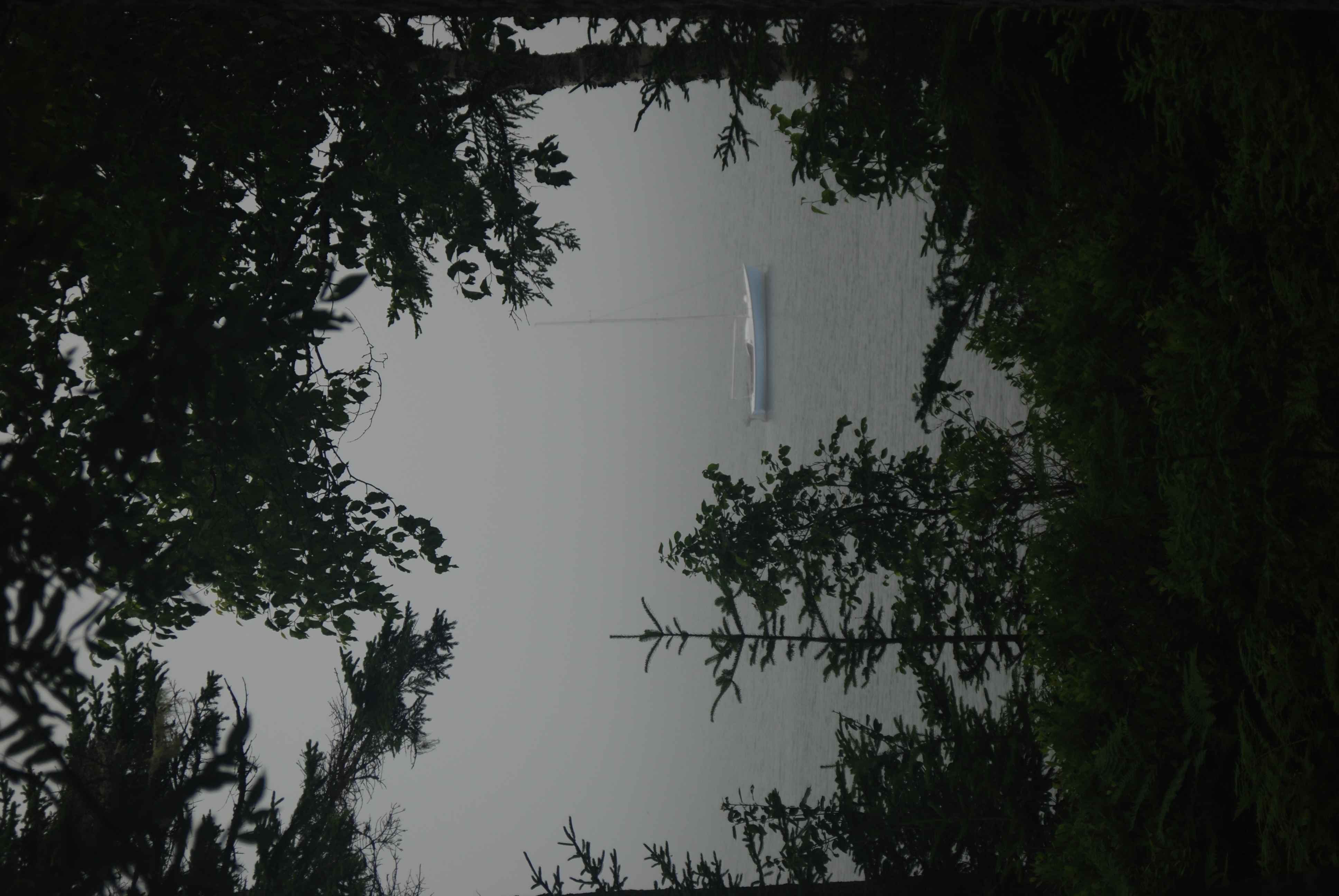
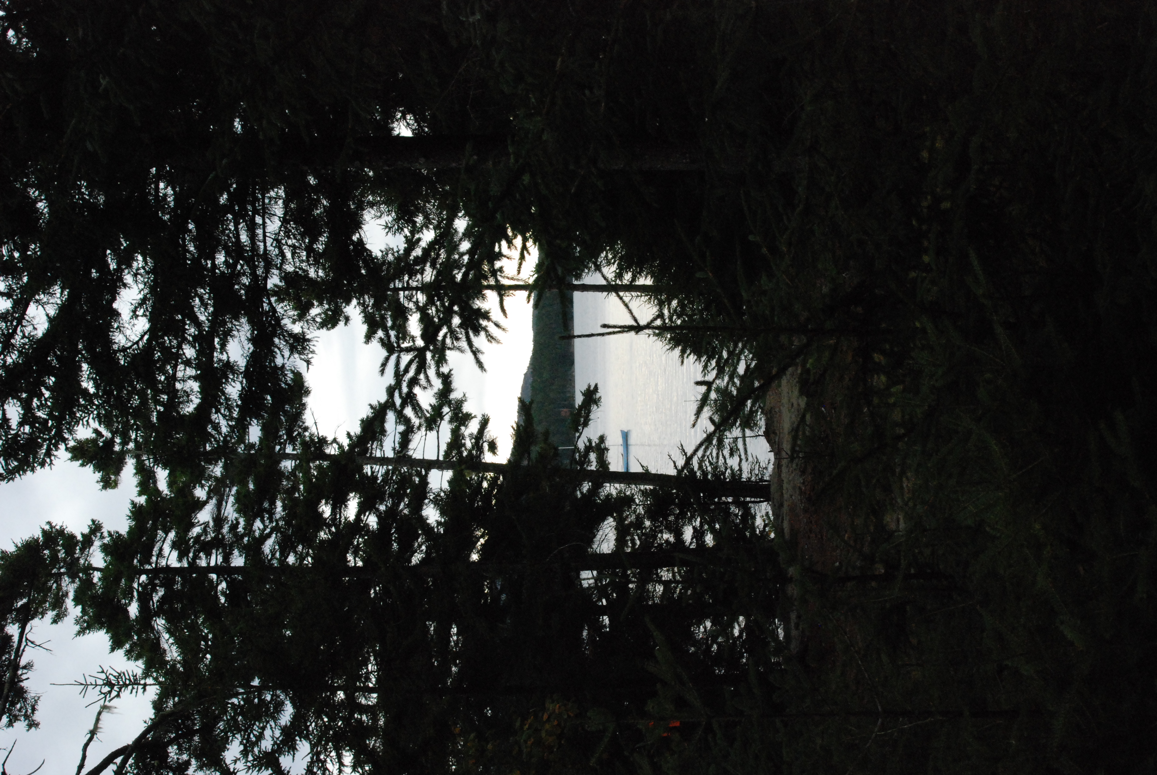
Foggy view
Acadia-BeechMt

Blue Hill Light
IMG_6520.jpg

Marriner's Park at Dawn
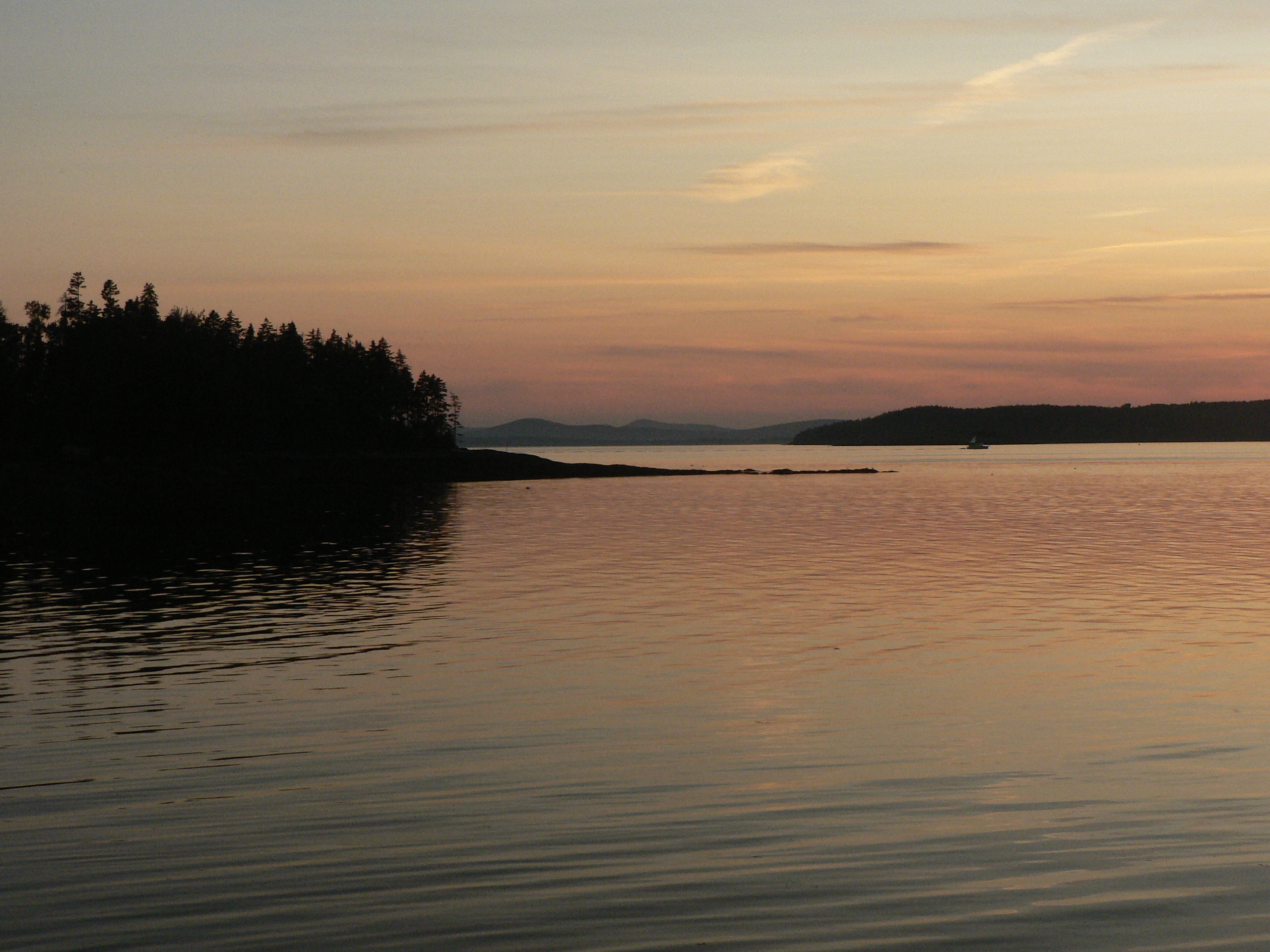
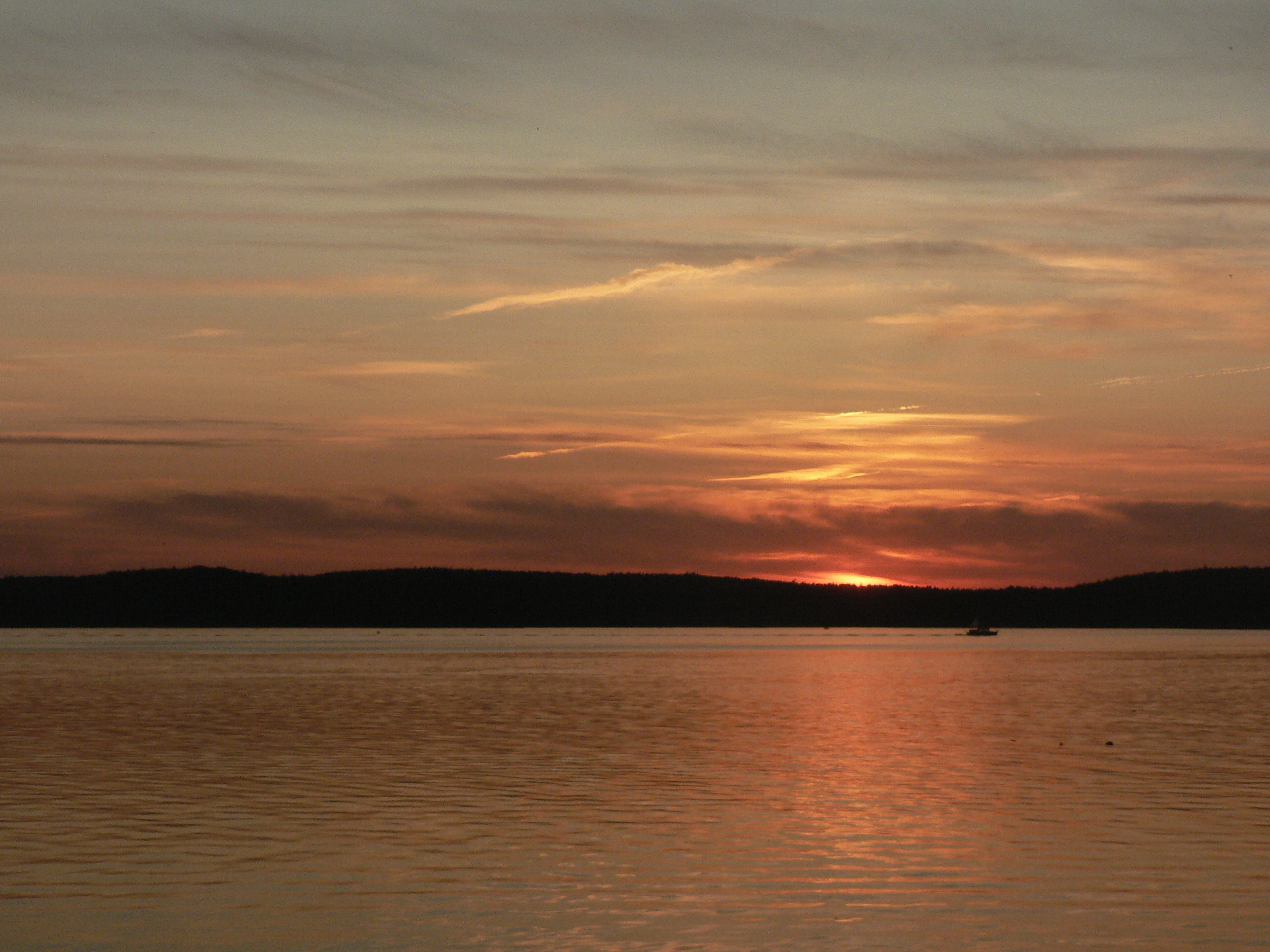
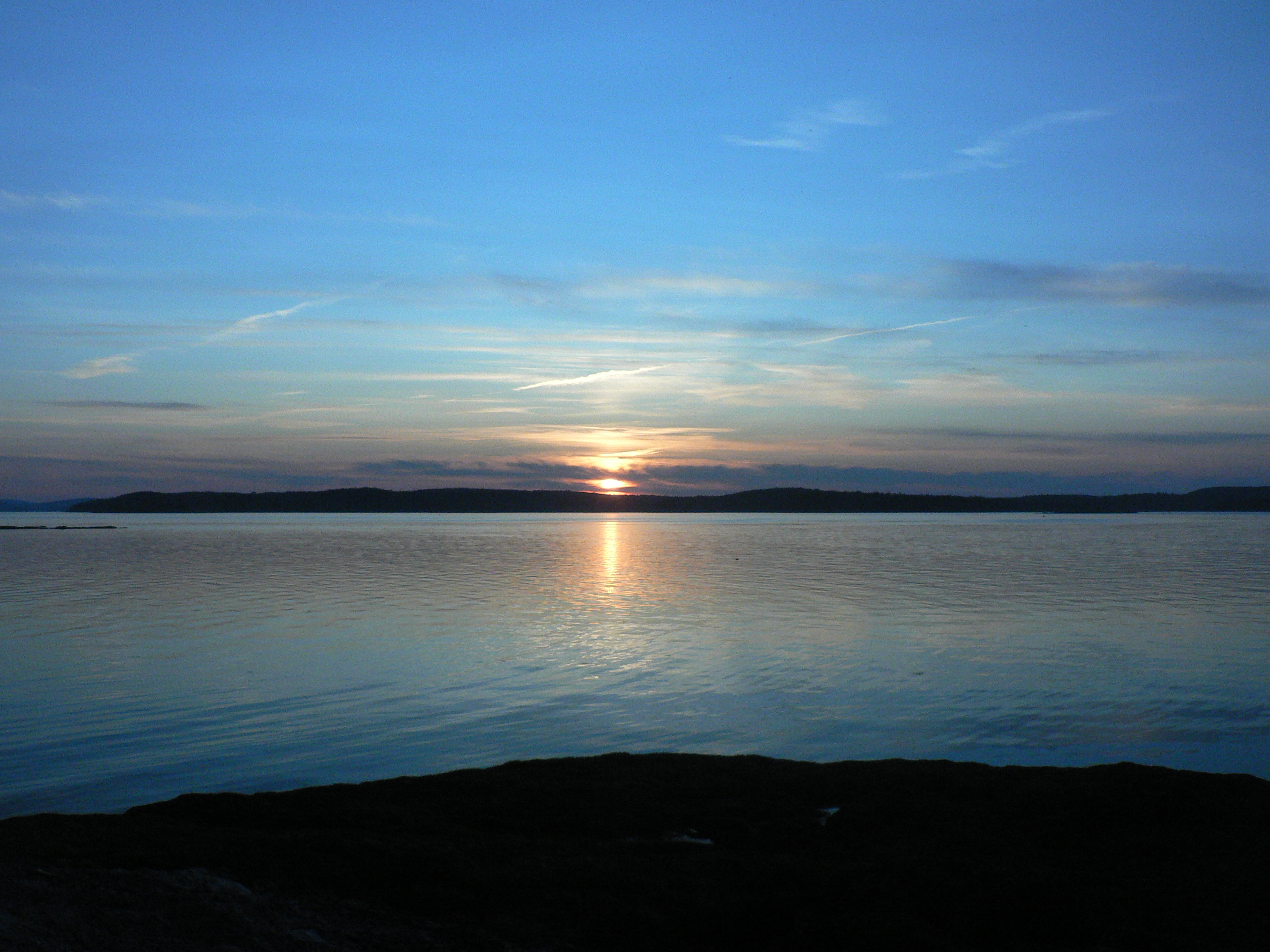
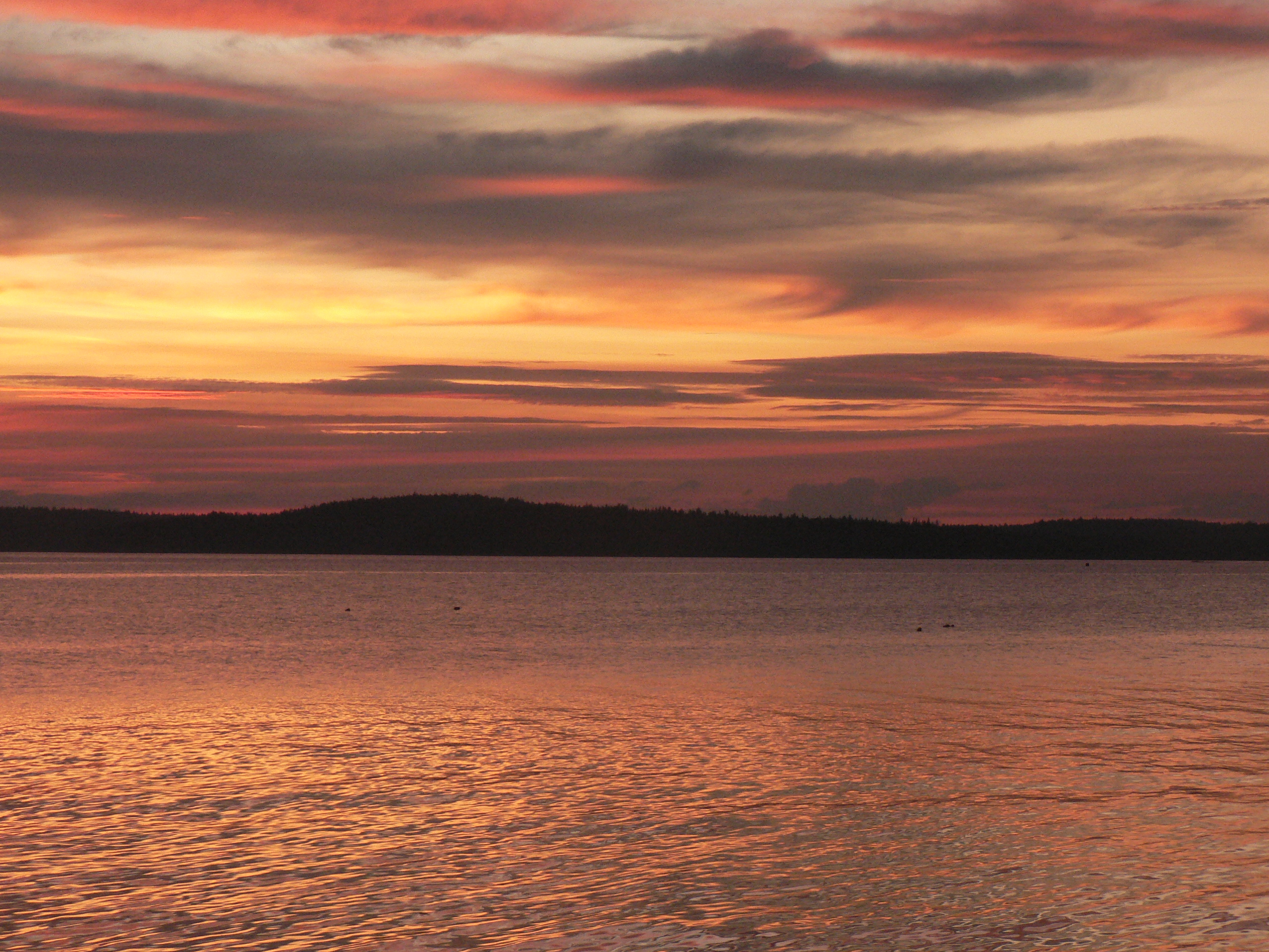
Thresholds sunset - Little Deer Isle ME 20090721 066
Thresholds sunset - Little Deer Isle ME 20090721 064
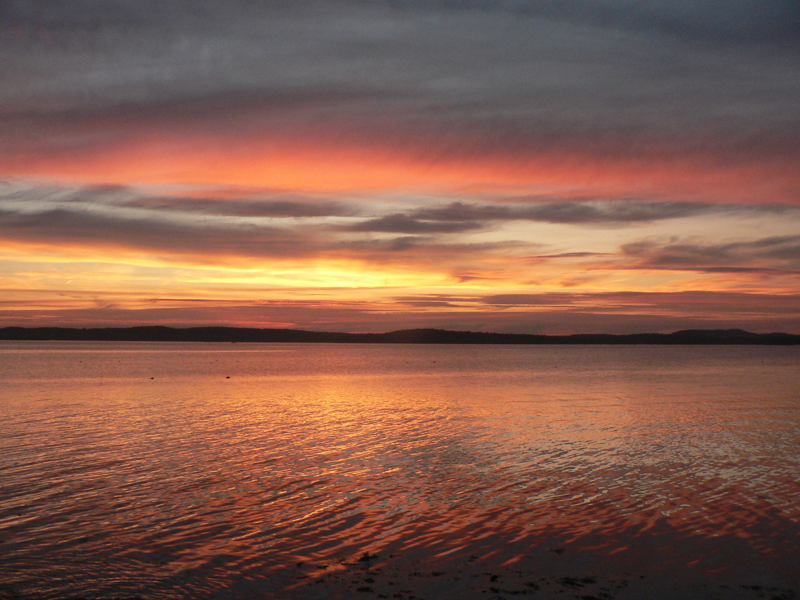
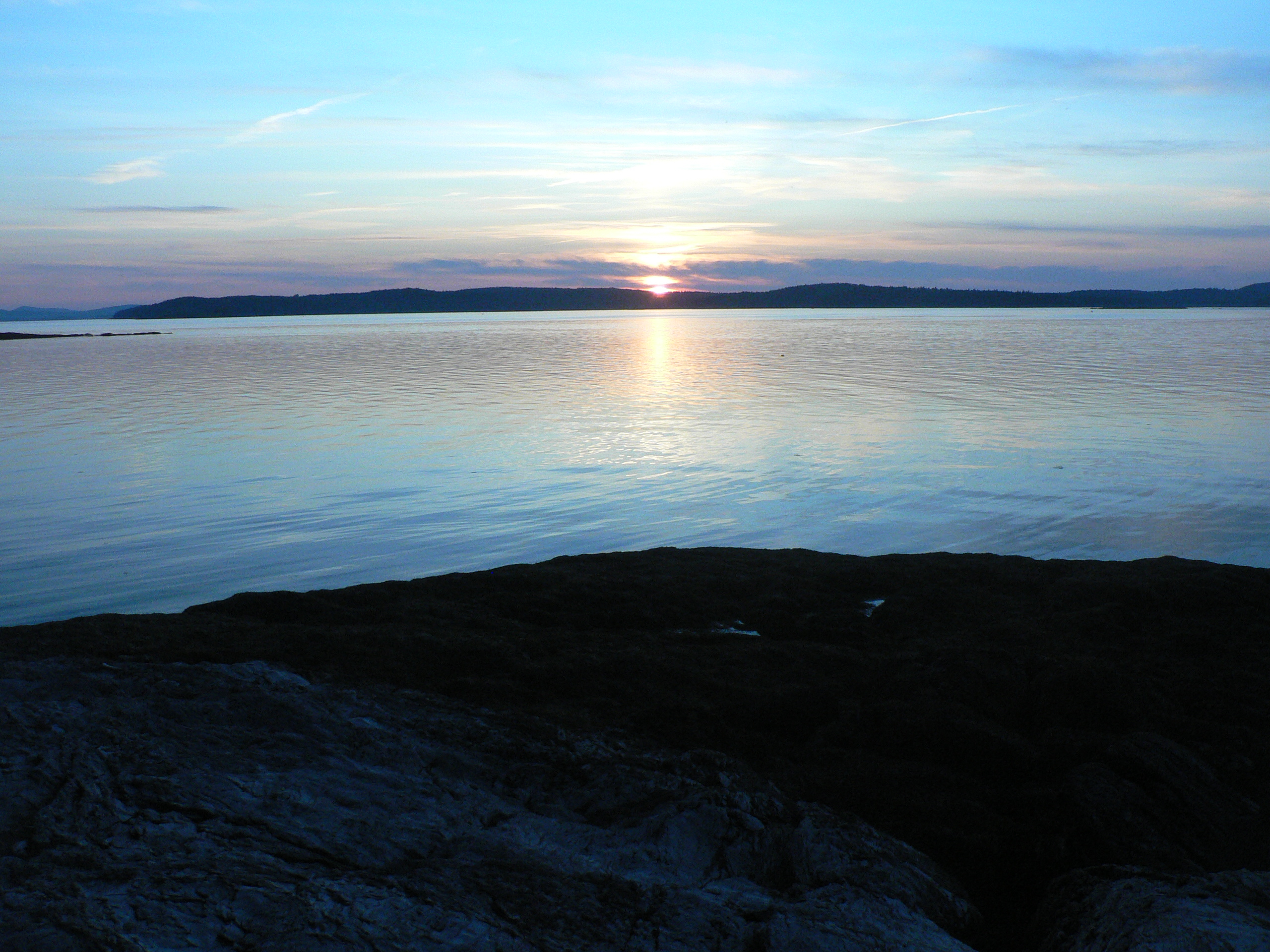
Thresholds sunset - Little Deer Isle ME 20090711 036
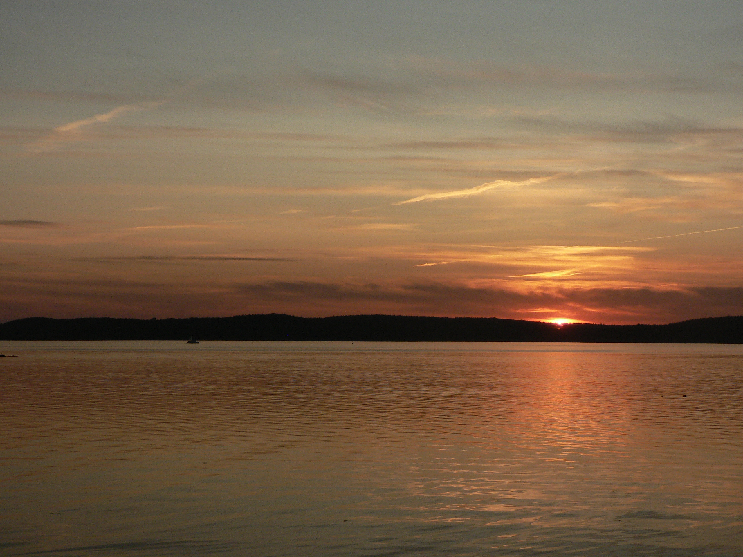
Thresholds sunset - Little Deer Isle ME 20090711 051
Thresholds sunset - Little Deer Isle ME 20090711 050
Thresholds sunset - Little Deer Isle ME 20090711 034
Thresholds sunset - Little Deer Isle ME 20090711 055
Thresholds sunset - Little Deer Isle ME 20090711 035

Thresholds sunset - Little Deer Isle ME 20090711 054
Thresholds sunset - Little Deer Isle ME 20090711 037

Thresholds sunset - Little Deer Isle ME 20090711 041
Thresholds sunset - Little Deer Isle ME 20090711 038
Thresholds sunset - Little Deer Isle ME 20090721 077

Thresholds sunset - Little Deer Isle ME 20090711 039
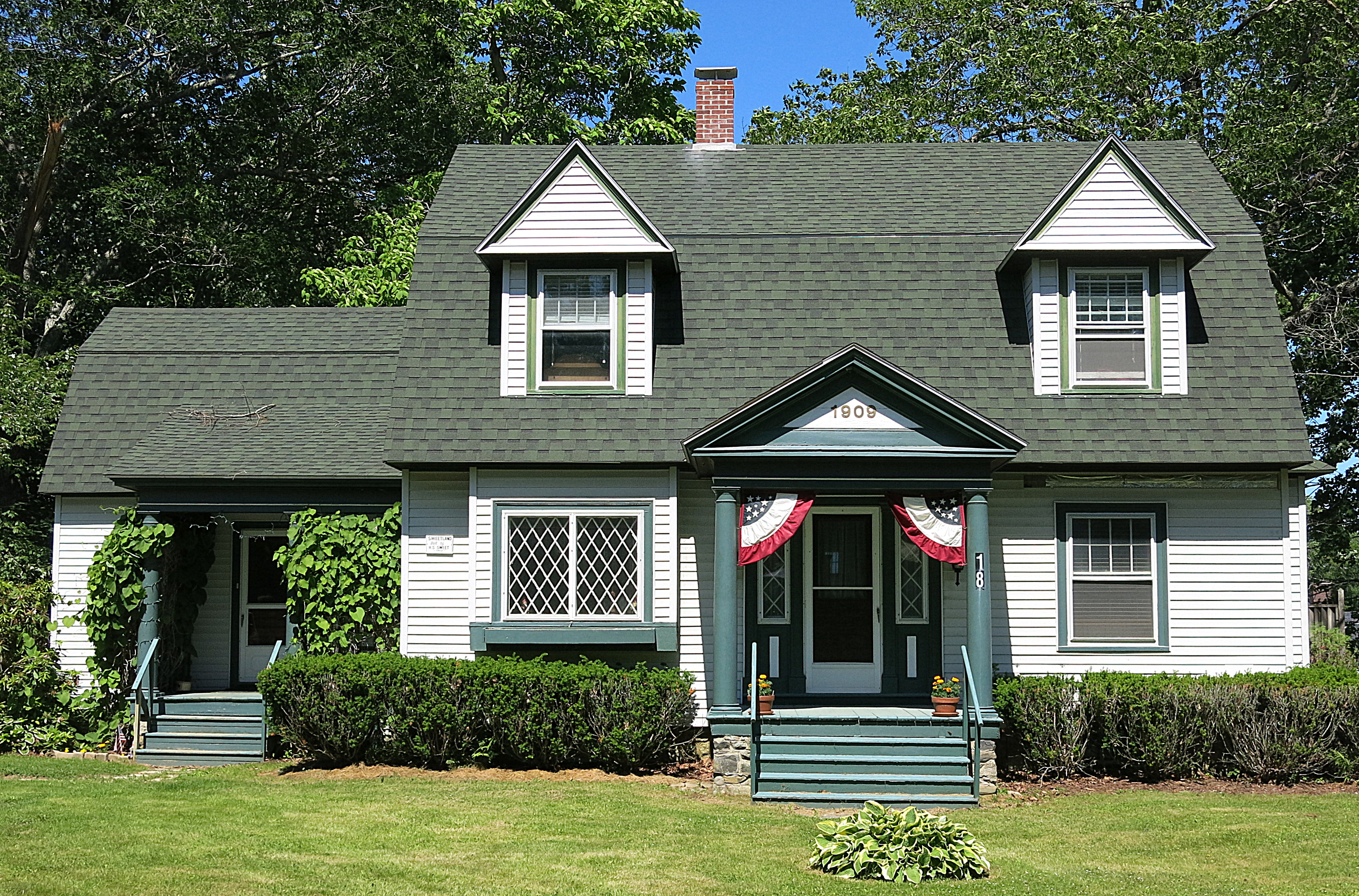
1909: A house in Blue Hill, Maine, USA
Thresholds sunset - Little Deer Isle ME 20090711 040
Pretty Marsh Harbor - Acadia National Park
Topographic Map of Harriman Point Road, Harriman Point Rd, Brooklin, ME, USA
Find elevation by address:

Places near Harriman Point Road, Harriman Point Rd, Brooklin, ME, USA:
Rockweed Lane
23 Lagace Ln
23 Lagace Ln
23 Lagace Ln
51 Point Rd, Seal Cove, ME, USA
Seal Cove
N Rd, Swans Island, ME, USA
Swans Island
Harbor Rd, Swans Island, ME, USA
Minturn Rd, Swans Island, ME, USA
433 Harbor Rd
30 Gannfield Ln
58 Bernard Rd
Tremont
123 E Point Rd
Bass Harbor
56 Arnold Rd
Southwest Harbor
24 Dirigo Rd
26 Ocean House Rd
Recent Searches:
- Elevation of Sattva Horizon, 4JC6+G9P, Vinayak Nagar, Kattigenahalli, Bengaluru, Karnataka, India
- Elevation of Great Brook Sports, Gold Star Hwy, Groton, CT, USA
- Elevation of 10 Mountain Laurels Dr, Nashua, NH, USA
- Elevation of 16 Gilboa Ln, Nashua, NH, USA
- Elevation of Laurel Rd, Townsend, TN, USA
- Elevation of 3 Nestling Wood Dr, Long Valley, NJ, USA
- Elevation of Ilungu, Tanzania
- Elevation of Yellow Springs Road, Yellow Springs Rd, Chester Springs, PA, USA
- Elevation of Rēzekne Municipality, Latvia
- Elevation of Plikpūrmaļi, Vērēmi Parish, Rēzekne Municipality, LV-, Latvia