Elevation of Harrietts Bluff Rd, Woodbine, GA, USA
Location: United States > Georgia > Camden County > Woodbine >
Longitude: -81.618937
Latitude: 30.867412
Elevation: 14m / 46feet
Barometric Pressure: 101KPa
Elevation Map:
Satellite Map:
Related Photos:

Sunset Satilla River_IMG_20141203_2569
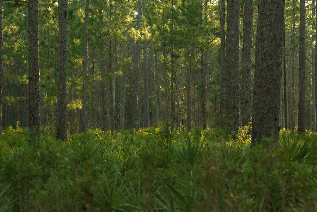
Deeper than Any Forest Primeval...

St. Marys, Georgia

Crossing Into Florida II

Two Generations Of Steel

DON'T FORGET THE SOUVENIRS
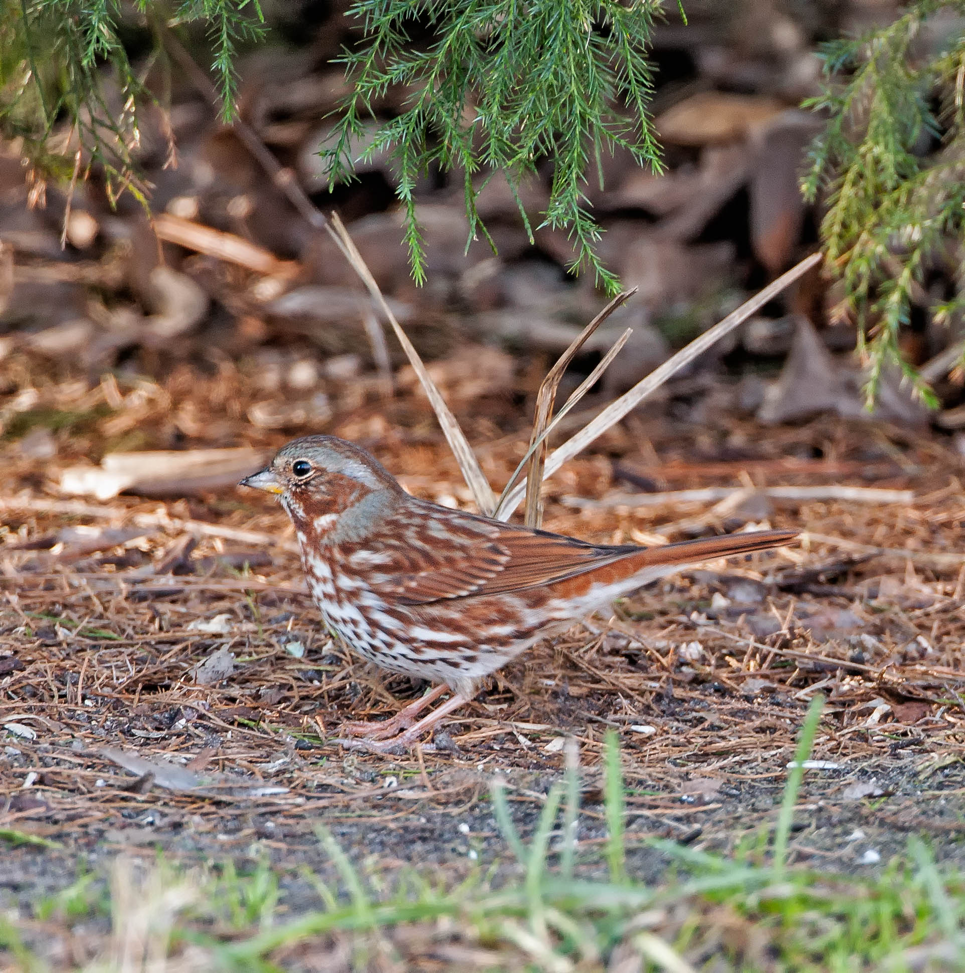
Fox Sparrow (Red)
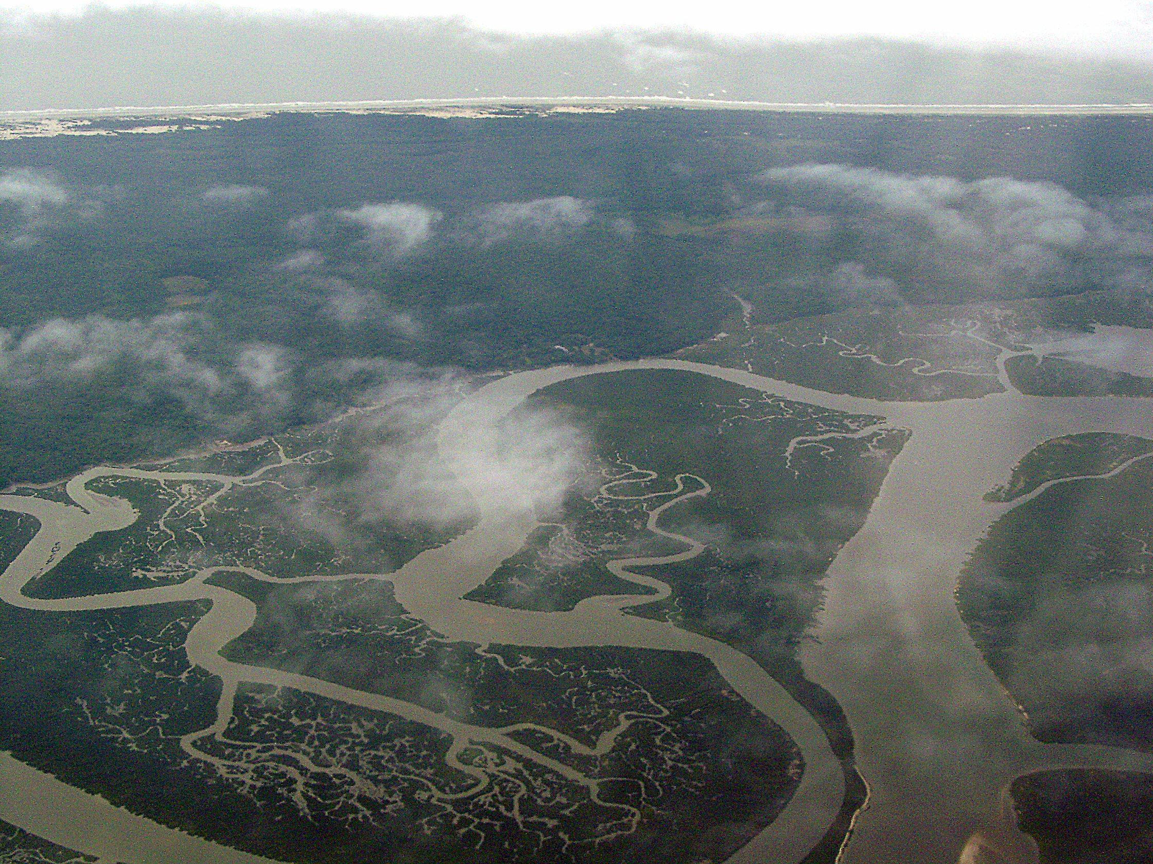
Cumberland River, Brickhill River, and Cumberland Island, Georgia
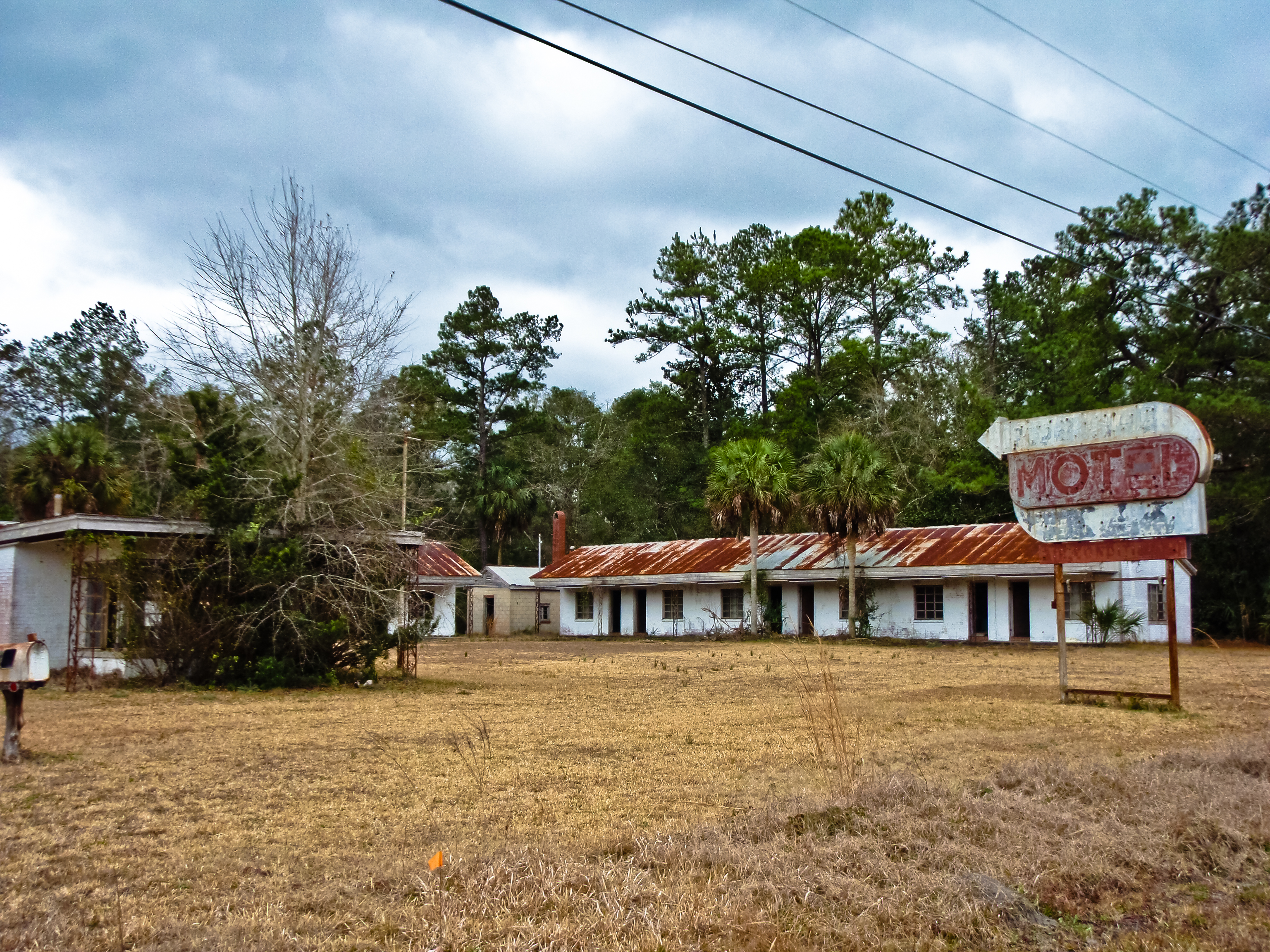
BORDER MOTEL

Gonatista grisea (female), Plum Orchard, Cumberland Island National Seashore, Camden County, Georgia 2
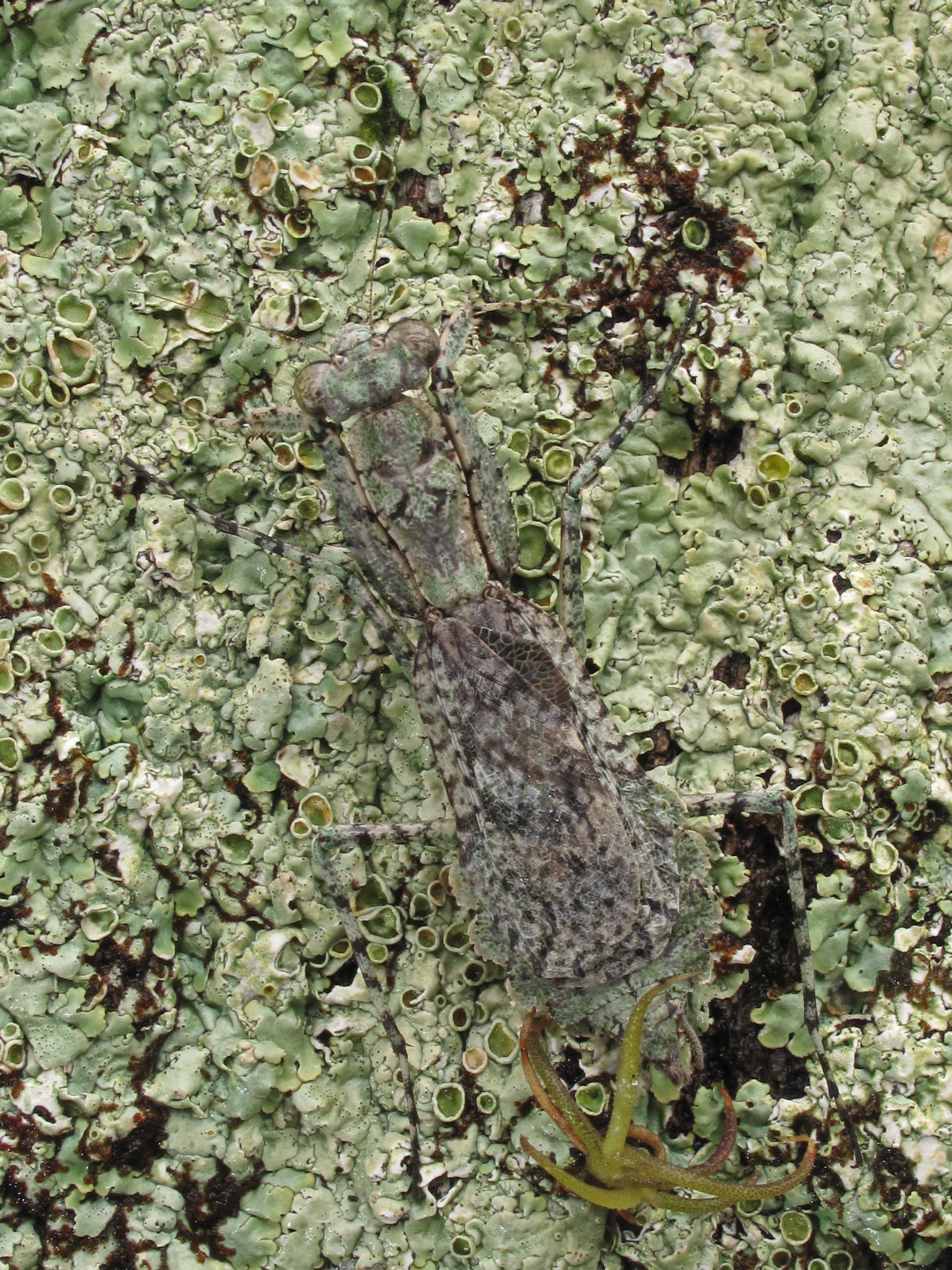
Gonatista grisea (female), Plum Orchard, Cumberland Island National Seashore, Camden County, Georgia 1

My lunch--IT WAS GOOD!

Sunday Morning III_IMG_5463
Time for hydration--again!

Further to my front
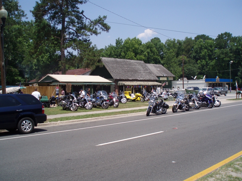
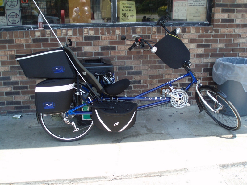
More bikes
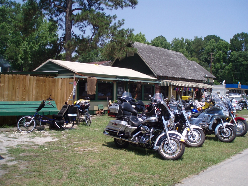
This is where we had lunch
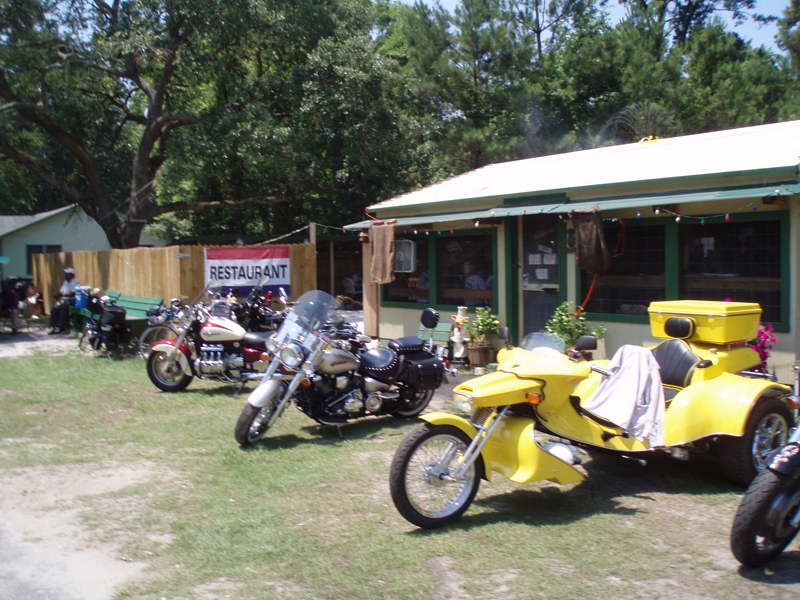
Lots of bikes

Our lunch
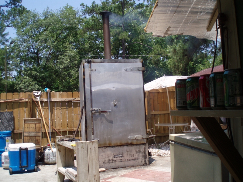
The smoker
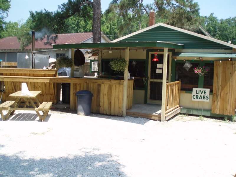
The bar & grill area

Reflection IMG_0903_HDR

Lines IMG_0994

Sunrise on the River_IMG_0173
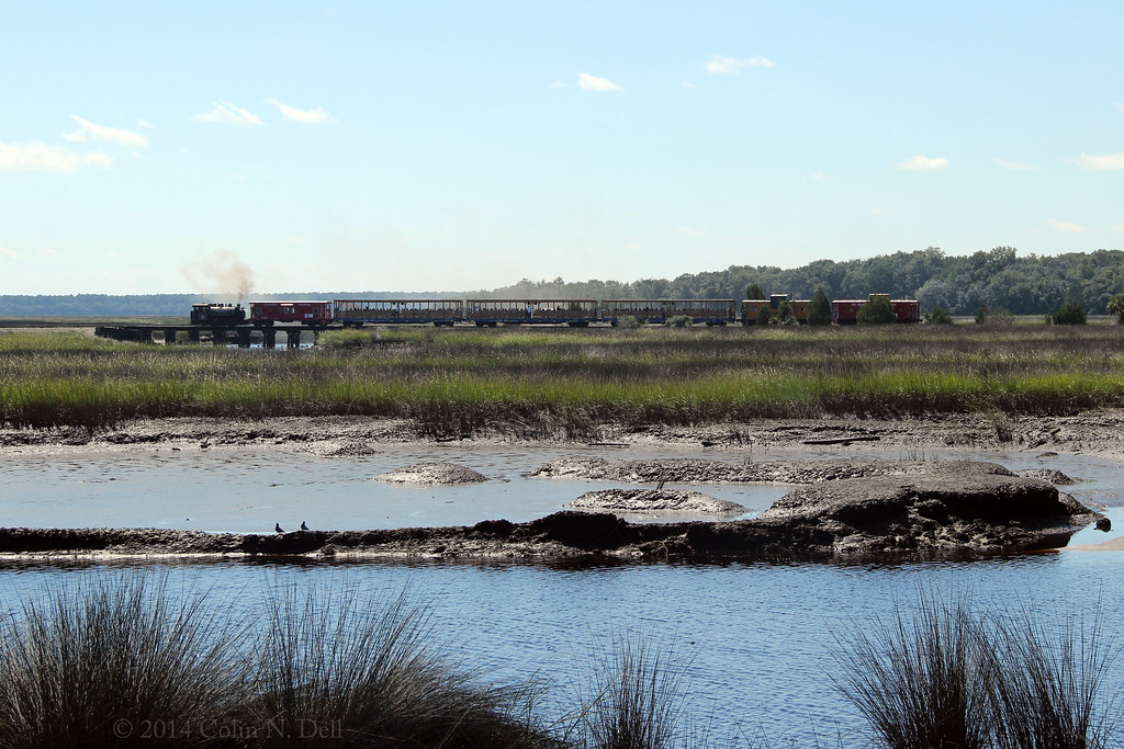
St Mary's Steam Express

Calm Morning IMG_8588

After Sunset_IMG_20141124_2511

Like a Dream

Crooked River Before Sunrise_IMG_8562

On the River_IMG_20150502_2745

St Marys River

Sunset at the Florida state line! #miamibound #roadtrip

Mitzi & Brent's wedding venue.

Waiting for the sun

Marsh at High Tide_IMG_0979

Satilla River_IMG_20150418_2785

Forest Path

Morning Calm_IMG_7410

Steel Truss Bridge (IR)

Crooked River State Park 16
Row thin
Topographic Map of Harrietts Bluff Rd, Woodbine, GA, USA
Find elevation by address:

Places near Harrietts Bluff Rd, Woodbine, GA, USA:
60 Sadler Cove Dr
29 Green Wing Rd
201 Wood Duck Dr
106 Wood Duck Dr
28 Wood Duck Dr
256 Wood Duck Dr
136 Wood Duck Dr
422 Deerwood Village Dr
229 Harbor View Dr
Pine Dr, Woodbine, GA, USA
90 Ravine Ct, Woodbine, GA, USA
378 Sheffield Island Rd
Marina Isle Drive
47 Crooked River Dr, Woodbine, GA, USA
Camden County
Harrietts Bluff Rd, Woodbine, GA, USA
Cason Noah Drive
Riley Hunter Dr, Kingsland, GA, USA
104 Cove Way
110 Fairway Dr
Recent Searches:
- Elevation of Warwick, RI, USA
- Elevation of Fern Rd, Whitmore, CA, USA
- Elevation of 62 Abbey St, Marshfield, MA, USA
- Elevation of Fernwood, Bradenton, FL, USA
- Elevation of Felindre, Swansea SA5 7LU, UK
- Elevation of Leyte Industrial Development Estate, Isabel, Leyte, Philippines
- Elevation of W Granada St, Tampa, FL, USA
- Elevation of Pykes Down, Ivybridge PL21 0BY, UK
- Elevation of Jalan Senandin, Lutong, Miri, Sarawak, Malaysia
- Elevation of Bilohirs'k