Elevation of Harper Rd, Bayboro, NC, USA
Location: United States > North Carolina > Pamlico County > >
Longitude: -76.696667
Latitude: 35.1555789
Elevation: 1m / 3feet
Barometric Pressure: 101KPa
Elevation Map:
Satellite Map:
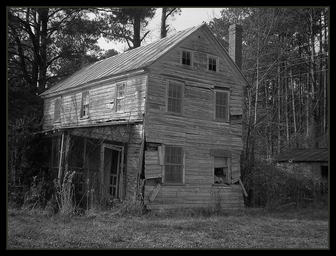
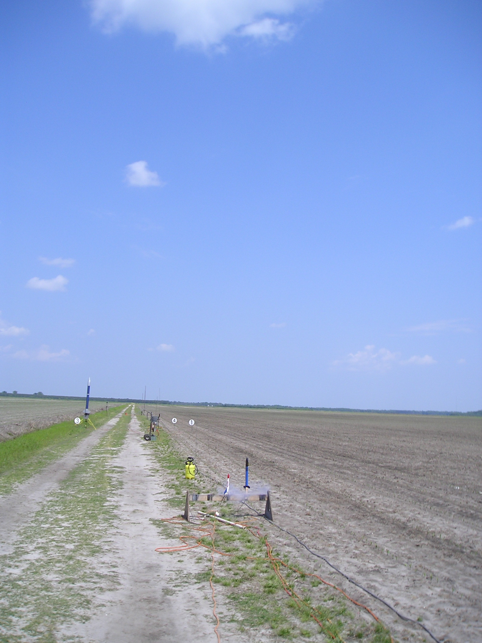
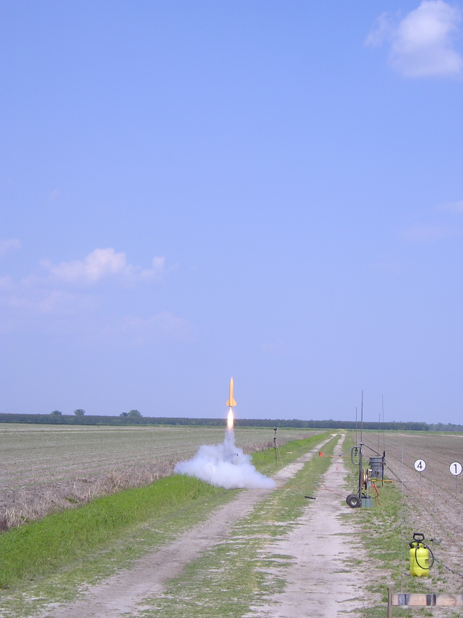
Related Photos:

Oriental Sunset
How Old Are You?

IMAG0053 (Medium)

trawler on Broad Creek

female house finch 9571
P1010030.JPG
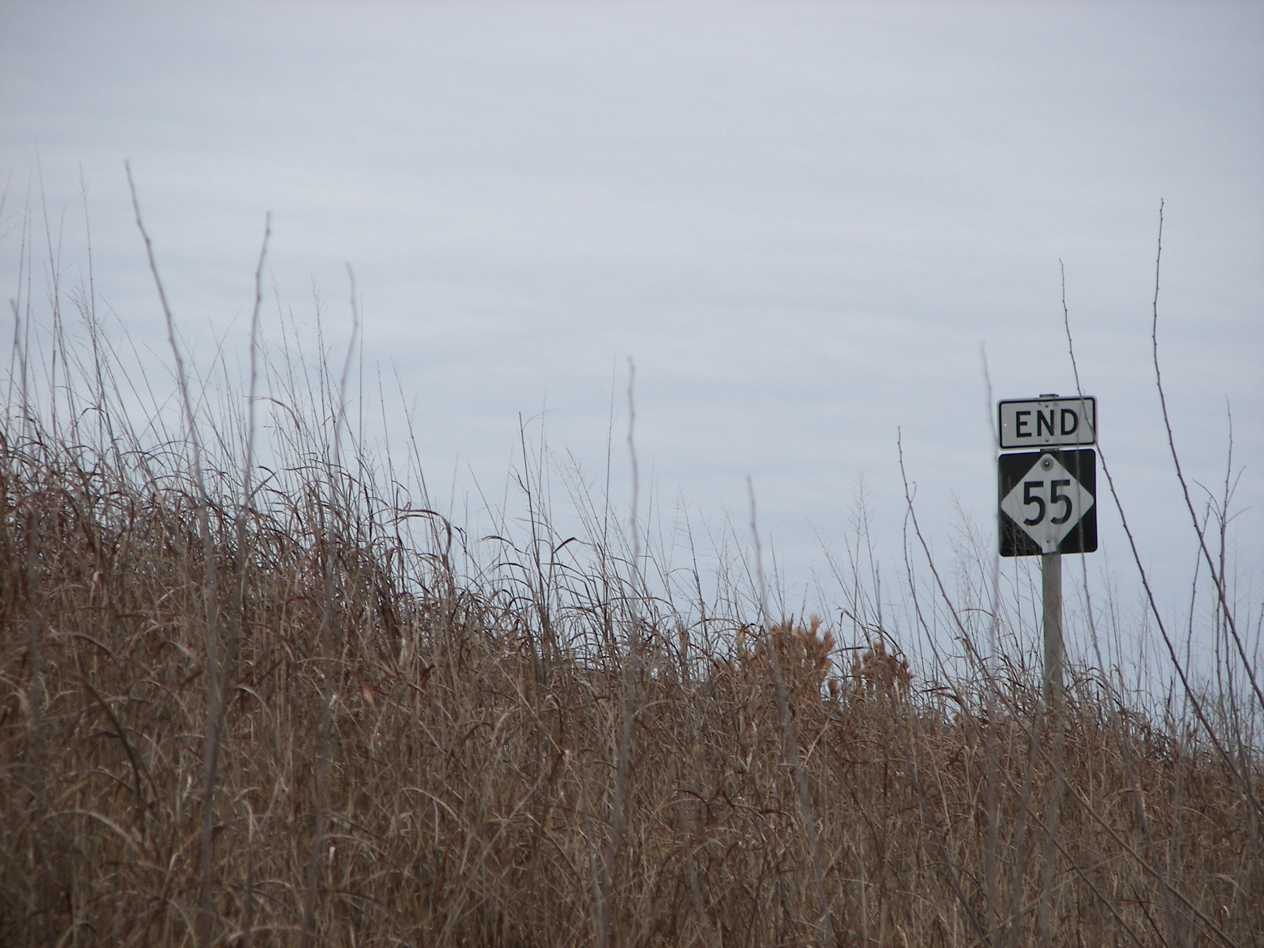
NC-55: The Dark End.

Peaceful sunset
P1010033.JPG

Waiting for New Year's Eve
P1010038.JPG
P1010041.JPG
IMG_1114.JPG

Oriental Marina
The Oriental Dragon floating in a secluded cove

Oriental, North Carolina
P1010023.JPG

Sunrise, Friday morning
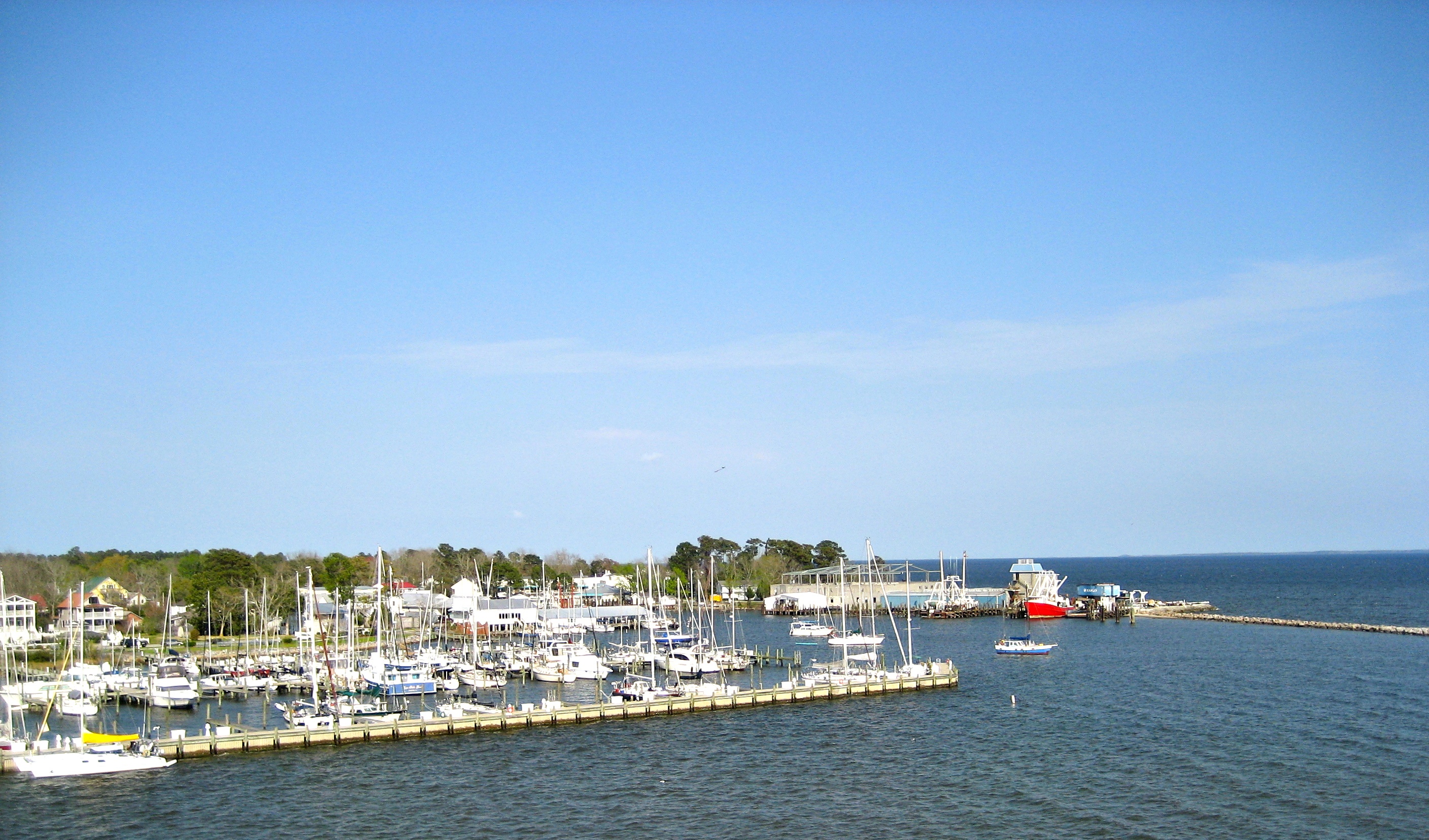
Oriental, NC marina and yacht club
P1010029.JPG
Topographic Map of Harper Rd, Bayboro, NC, USA
Find elevation by address:

Places near Harper Rd, Bayboro, NC, USA:
Pamlico County
540 Bay Shores Rd
327 Bay Shores Rd
Sadler Farm Road
471 Bell Point Rd
116 Moores Creek Dr
Florence Road
1021 Sadler Farm Rd
976 Sadler Farm Rd
Florence & Whortonsville Vfd
Florence Road
564 Alligator Loop Rd
752 Alligator Loop Rd
225 Alligator Loop Rd
838 Alligator Loop Rd
16614 Nc-55
68 Spain Farm Rd
Us Post Office
Merritt
19969 Nc-55
Recent Searches:
- Elevation of 72-31 Metropolitan Ave, Middle Village, NY, USA
- Elevation of 76 Metropolitan Ave, Brooklyn, NY, USA
- Elevation of Alisal Rd, Solvang, CA, USA
- Elevation of Vista Blvd, Sparks, NV, USA
- Elevation of 15th Ave SE, St. Petersburg, FL, USA
- Elevation of Beall Road, Beall Rd, Florida, USA
- Elevation of Leguwa, Nepal
- Elevation of County Rd, Enterprise, AL, USA
- Elevation of Kolchuginsky District, Vladimir Oblast, Russia
- Elevation of Shustino, Vladimir Oblast, Russia