Elevation of Harmony Rd, Jonesborough, TN, USA
Location: United States > Tennessee > Washington County > Jonesborough >
Longitude: -82.575959
Latitude: 36.340319
Elevation: 498m / 1634feet
Barometric Pressure: 95KPa
Elevation Map:
Satellite Map:
Related Photos:

First Presbyterian Church - Jonesborough, TN

First Presbyterian Church - Jonesborough, TN

What Is Your Focus
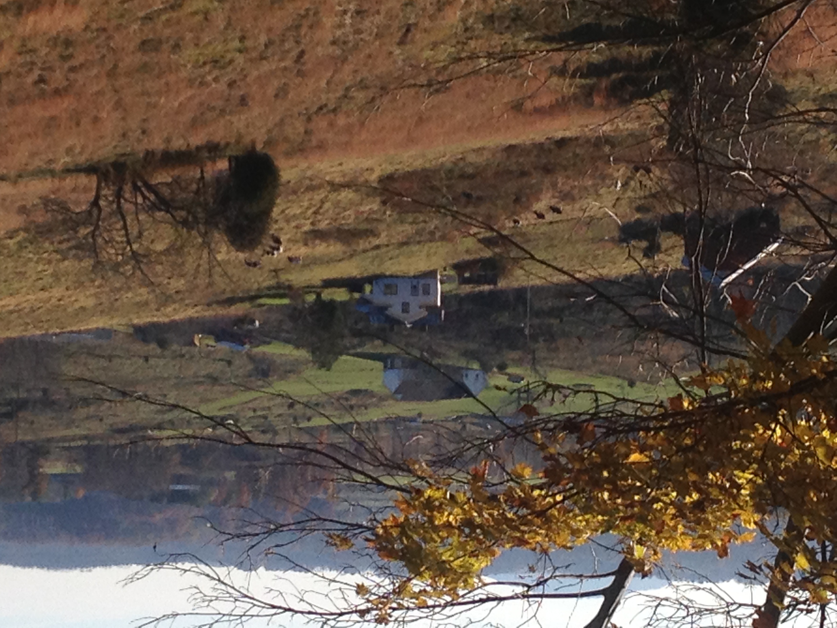
View of Gray, TN

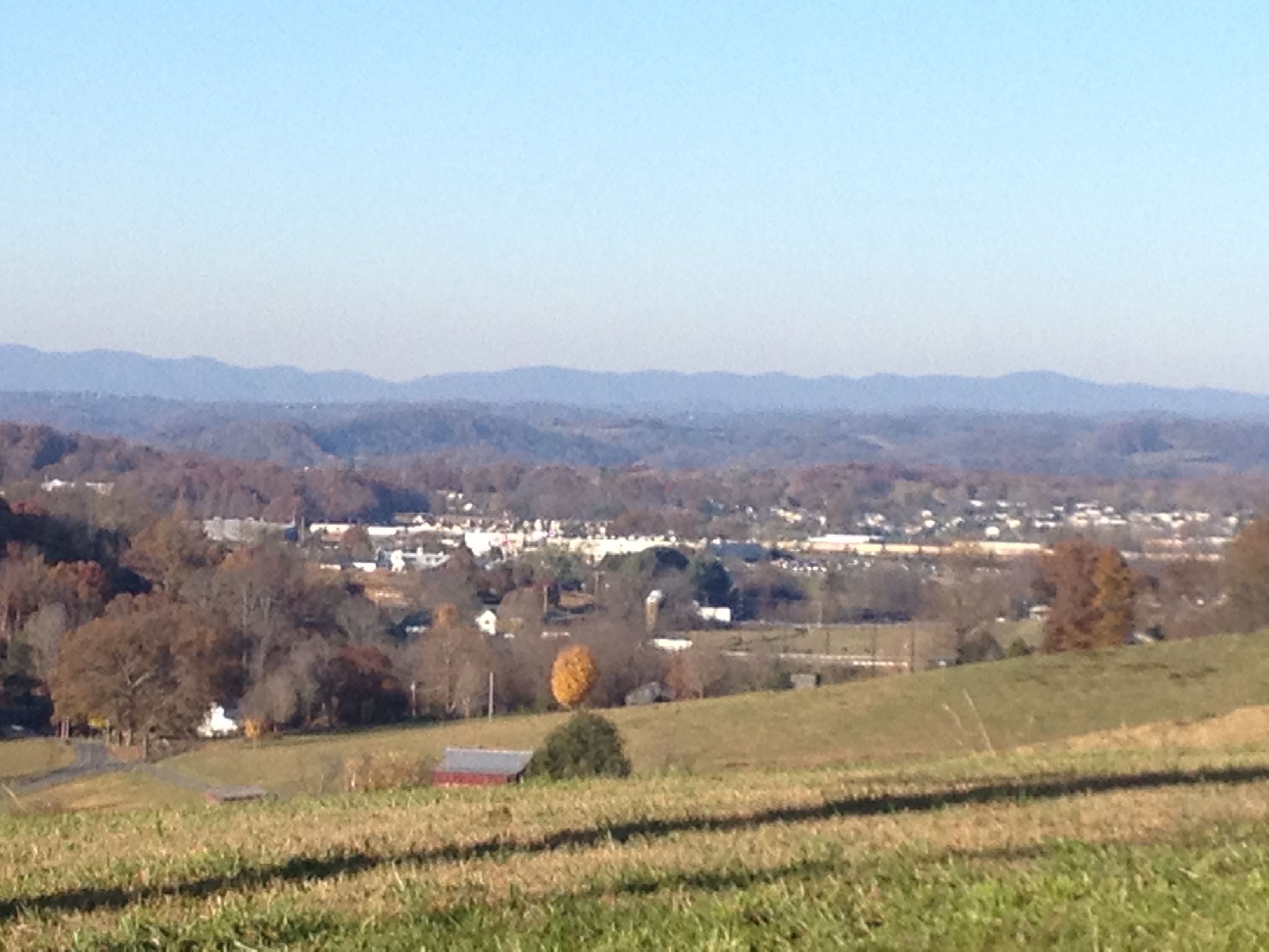
Great view

View from the Front Porch
View of Gray

Rainbow in the Rear view

Washington County, TN Courthouse - Jonesboro, TN
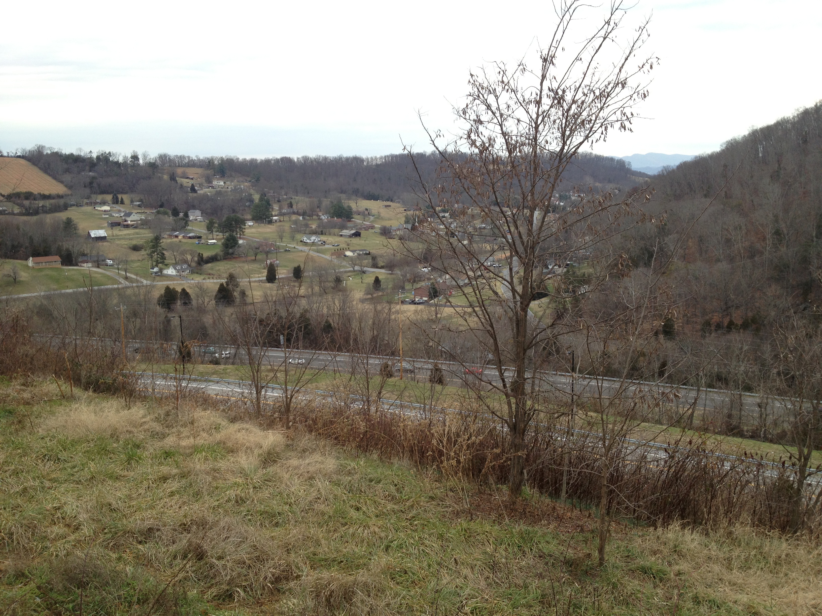
View of I-26 near Rock Springs Road

Power in the clouds. #johnsoncity #kingsport #cloudporn #skyporn #instaclouds #powerlines #landscapes #skylines #instagram #iphonesia #photooftheday #trinity2 #instagood #iphone #iphoneonly #popular #iphonography #iphoneography #instamood #Instadaily #ig
A face among the Fall
Luscious Landscape Layers

Yellowstone Prong - East Fork Pigeon River #yellowstonefalls #pisgahnationalforest #pigeonriver #graveyardfieldsandfalls #blueridgeparkway #brevard #we_see_wnc #waynesville #tnwnc #diamondbrand_outdoors #recreation_gov #ospreypacks #828isgreat #asheville

WP_20151120_002 (2)

IMG_9300.JPG

Runs_Into_Horse_Creek_(14_of_14)
Open Road Tennessee #i81 #cloud #cloudporn #sky #skyporn #tennessee #igers #igers_philly #vsco #vscocam

Runs_Into_Horse_Creek_(2_of_14)

#sunsets #sunset

#sunset #sunsetlovers #sunsets

IMG_0160.JPG

P1000298.JPG
Kincheloe Fen

2008-07-06 - July 4th And Mary Elizabeth & John's Visit (67)
On the Way There

IMG_1583.JPG

#sunsets #sunsetlovers #sunset
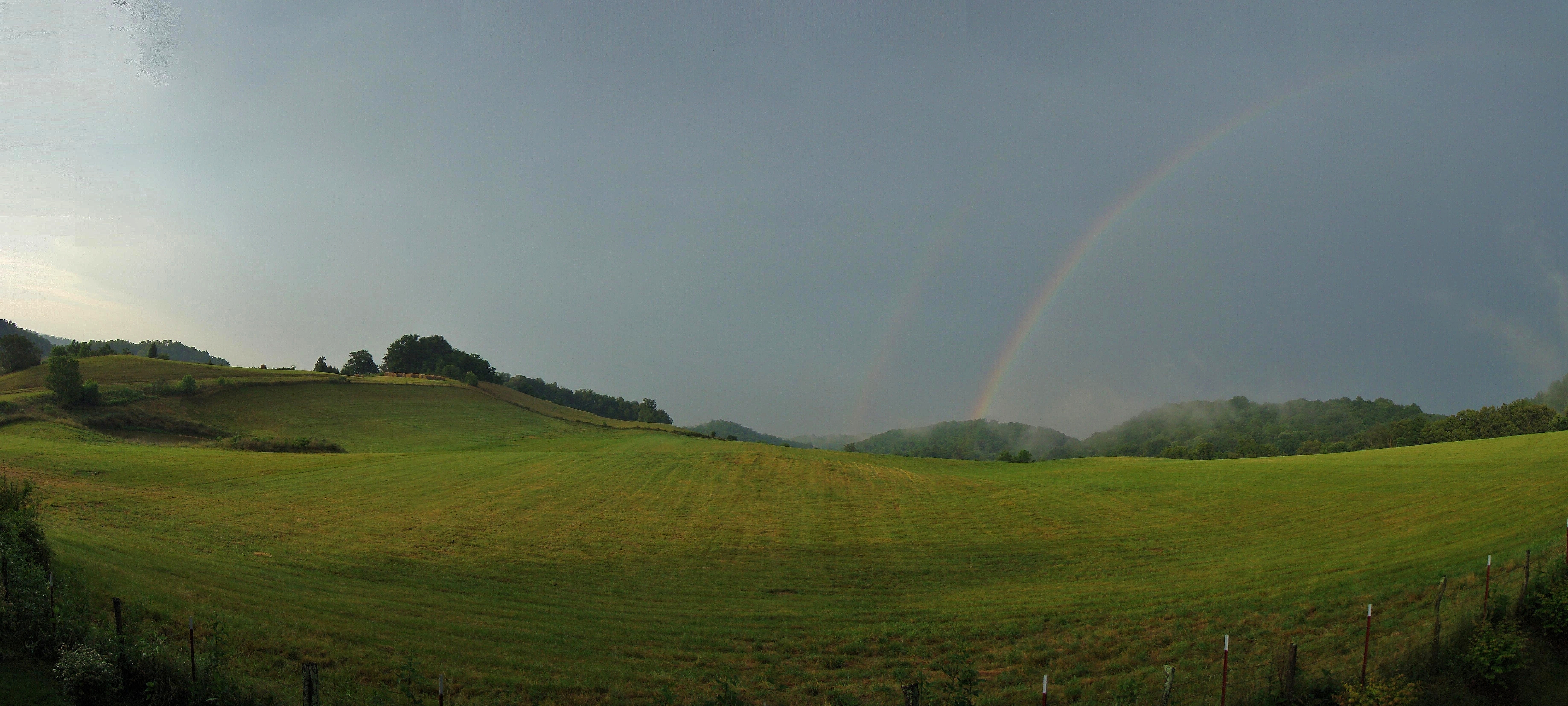
Jonesborough, TN Rainbow
Topographic Map of Harmony Rd, Jonesborough, TN, USA
Find elevation by address:

Places near Harmony Rd, Jonesborough, TN, USA:
299 Armstrong Hill Rd
277 W Ridge Rd
212 Jay Armentrout Rd
310 Cherry Hill Rd
192 Rosecliff Dr
Sulphur Springs
114 Highland Rd
675 A A Deakins Rd
625 Saylor Hill Rd
Washington County
Pleasant Valley Rd, Jonesborough, TN, USA
190 Thornburg Hills Rd
Thornburg Hills Road
528 Kyker Rd
121 Laurel Acres Ct
251 New Hope Rd
198 Sugar Hollow Rd
139 Bob Clark Rd
199 Bob Clark Rd
Hairetown Road
Recent Searches:
- Elevation of Kreuzburger Weg 13, Düsseldorf, Germany
- Elevation of Gateway Blvd SE, Canton, OH, USA
- Elevation of East W.T. Harris Boulevard, E W.T. Harris Blvd, Charlotte, NC, USA
- Elevation of West Sugar Creek, Charlotte, NC, USA
- Elevation of Wayland, NY, USA
- Elevation of Steadfast Ct, Daphne, AL, USA
- Elevation of Lagasgasan, X+CQH, Tiaong, Quezon, Philippines
- Elevation of Rojo Ct, Atascadero, CA, USA
- Elevation of Flagstaff Drive, Flagstaff Dr, North Carolina, USA
- Elevation of Avery Ln, Lakeland, FL, USA