Elevation of Harmire Road, Harmire Rd, Barnard Castle DL12, UK
Location: United Kingdom > England > County Durham >
Longitude: -1.9171411
Latitude: 54.5510404
Elevation: 185m / 607feet
Barometric Pressure: 99KPa
Elevation Map:
Satellite Map:
Related Photos:
View from the entrance
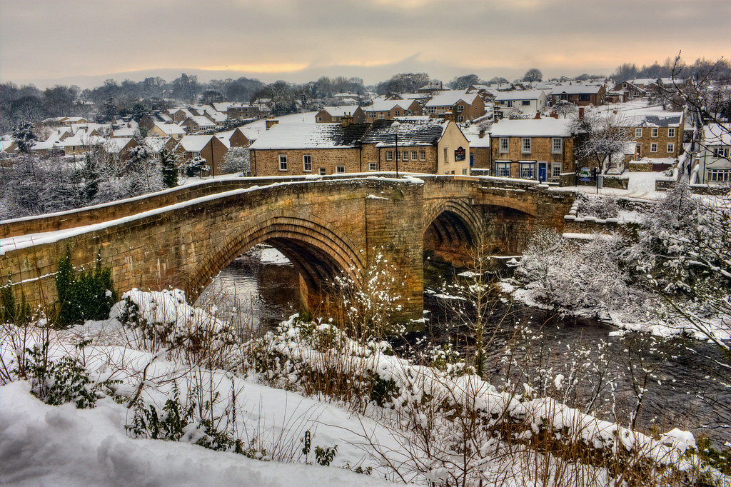
county bridge
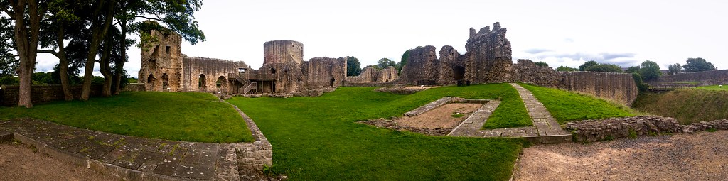
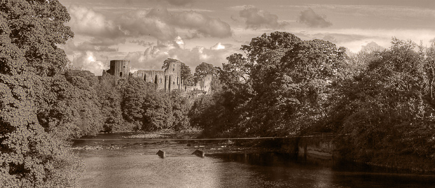
Barnard Castle Panorama
Whistle Crag View
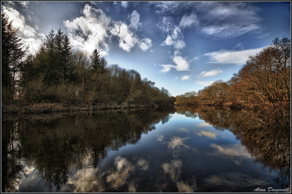
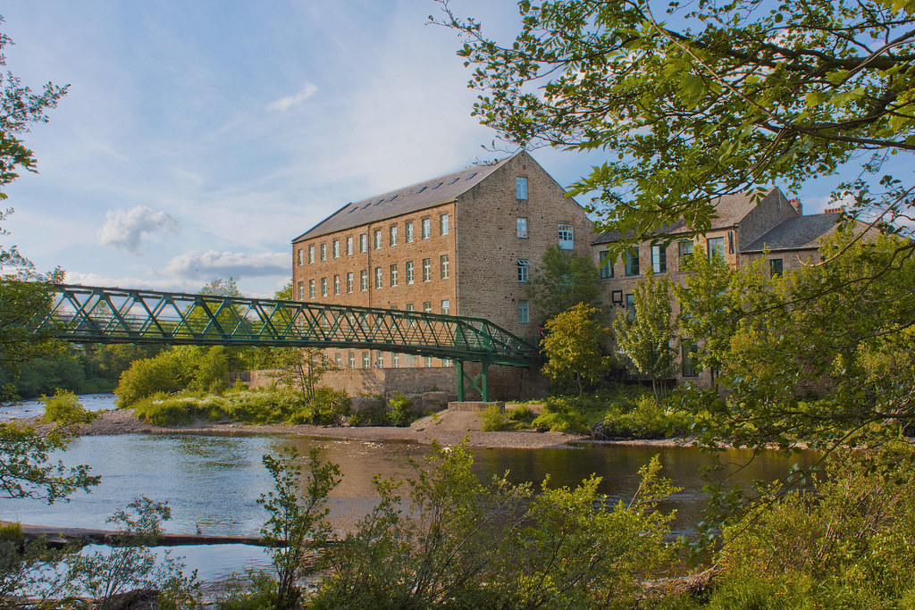
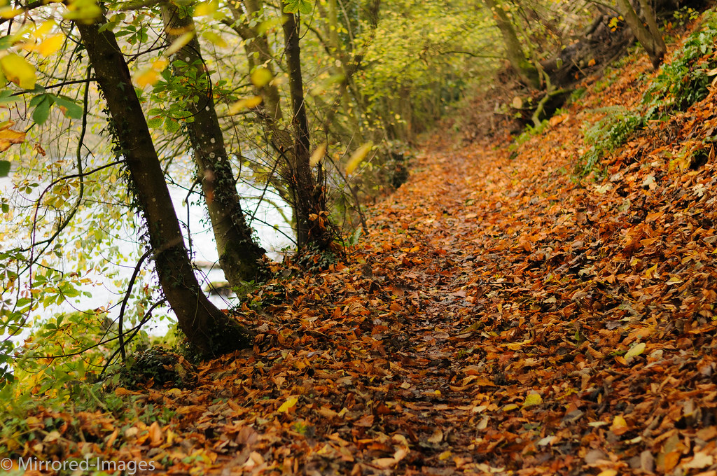
Low Barnes River Scene Durham
Barnard Castle

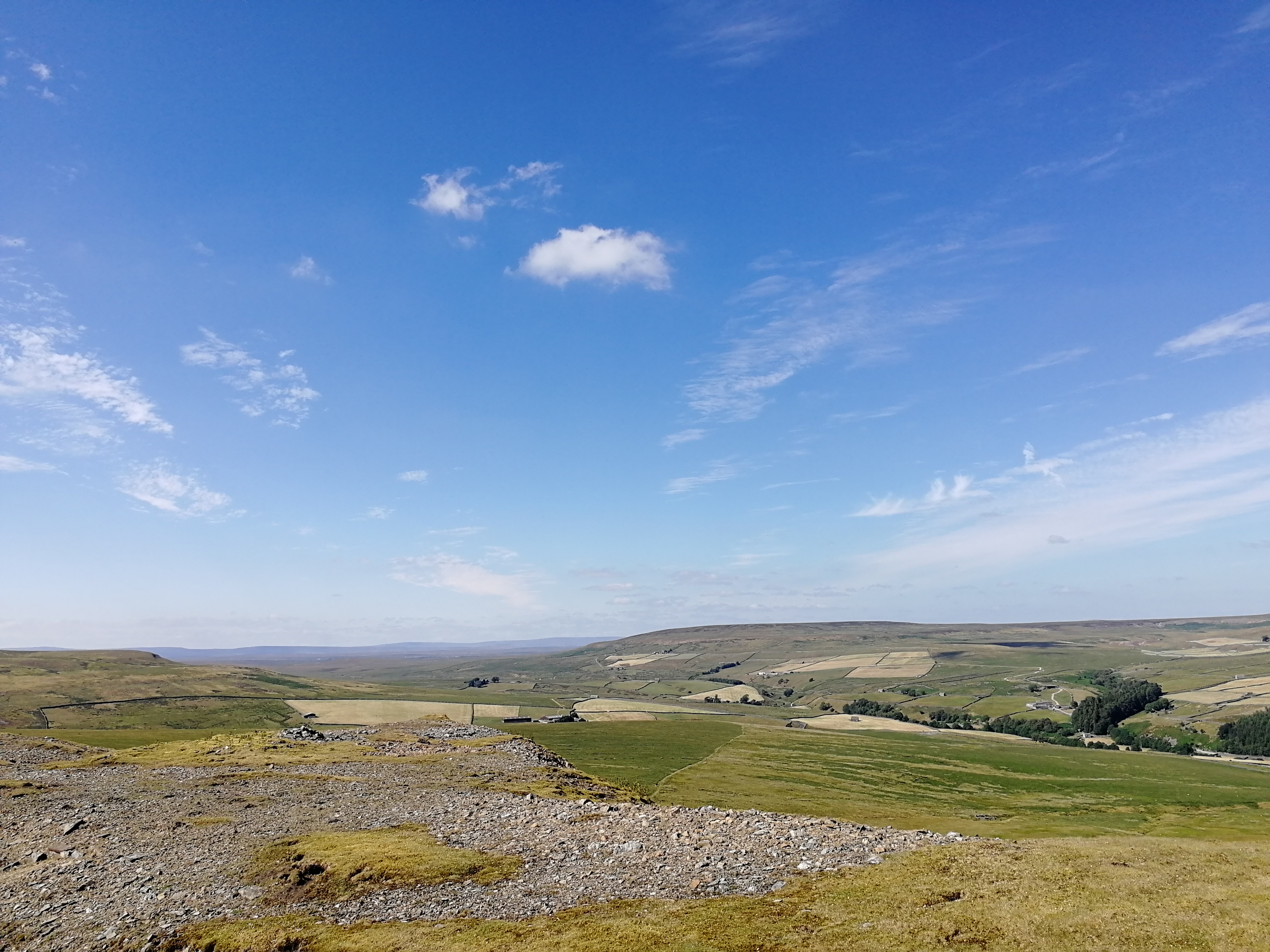
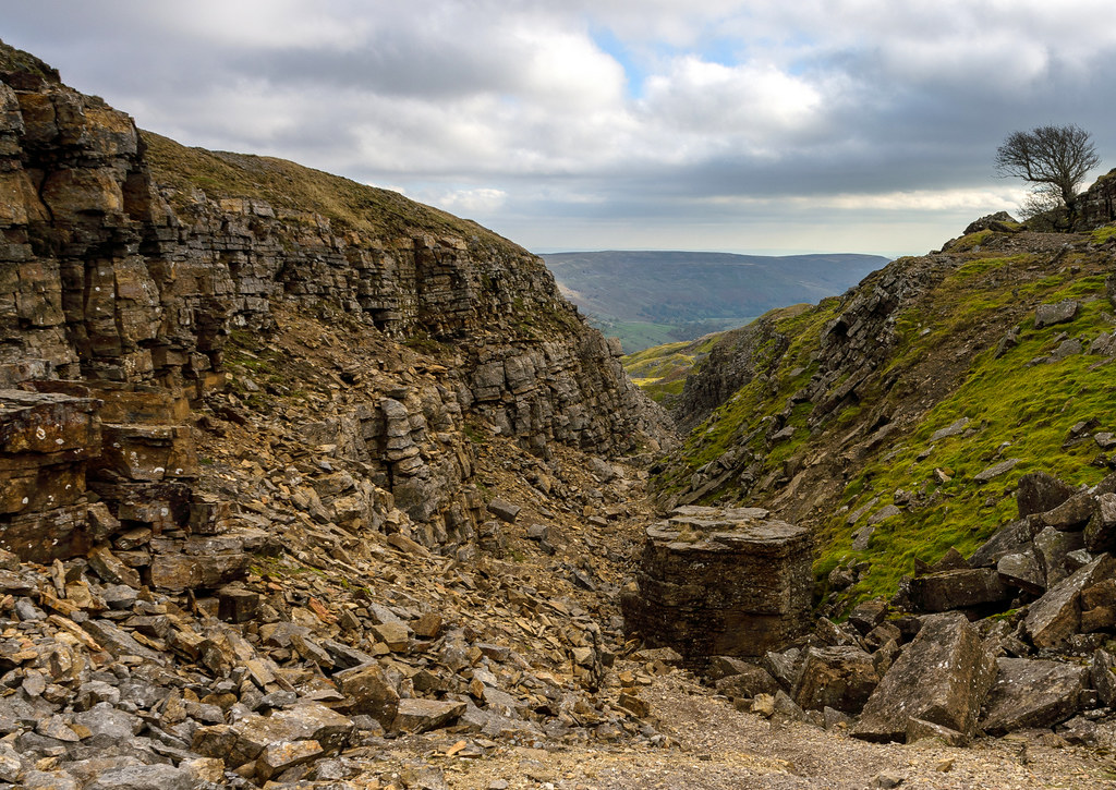
Millstone Grits: summit view.

Light on the Water
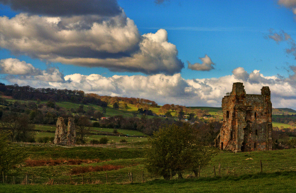
Bowes - Castle

Blackton Blues
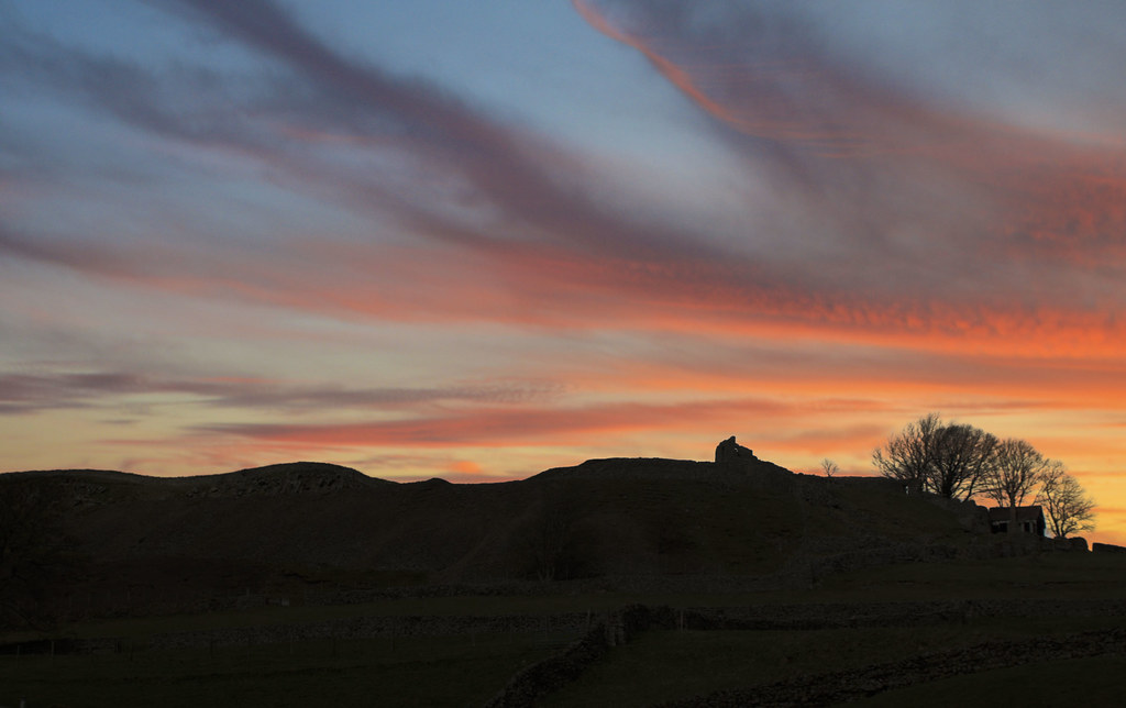
Teesdale sunset
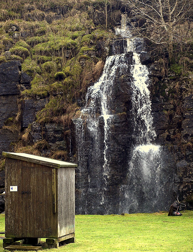
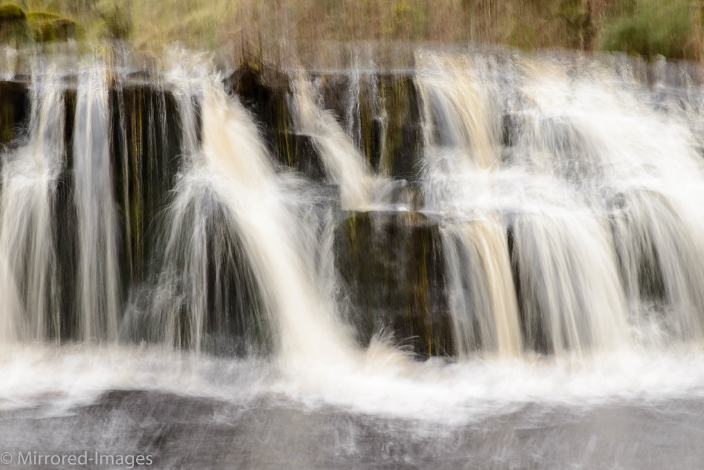
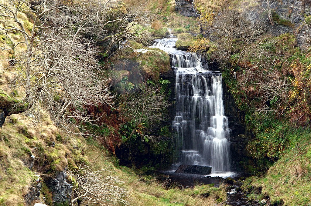
Banklands Quarry waterfall
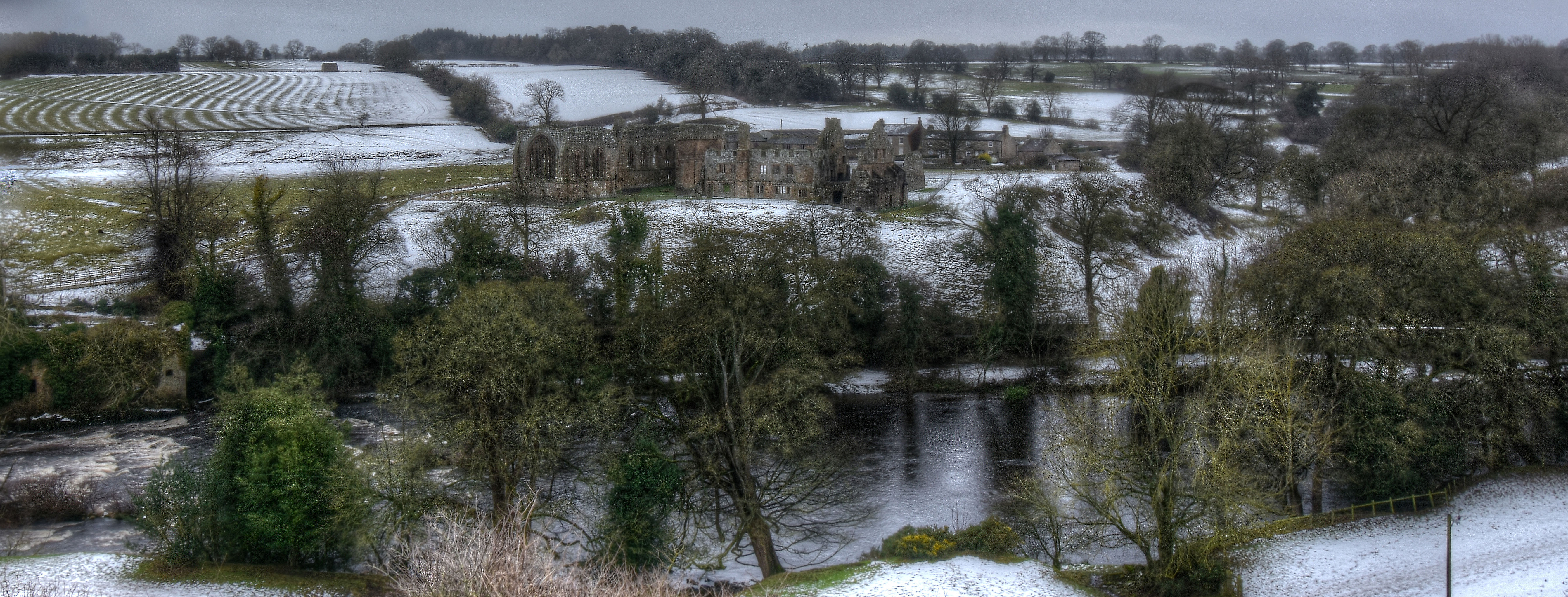
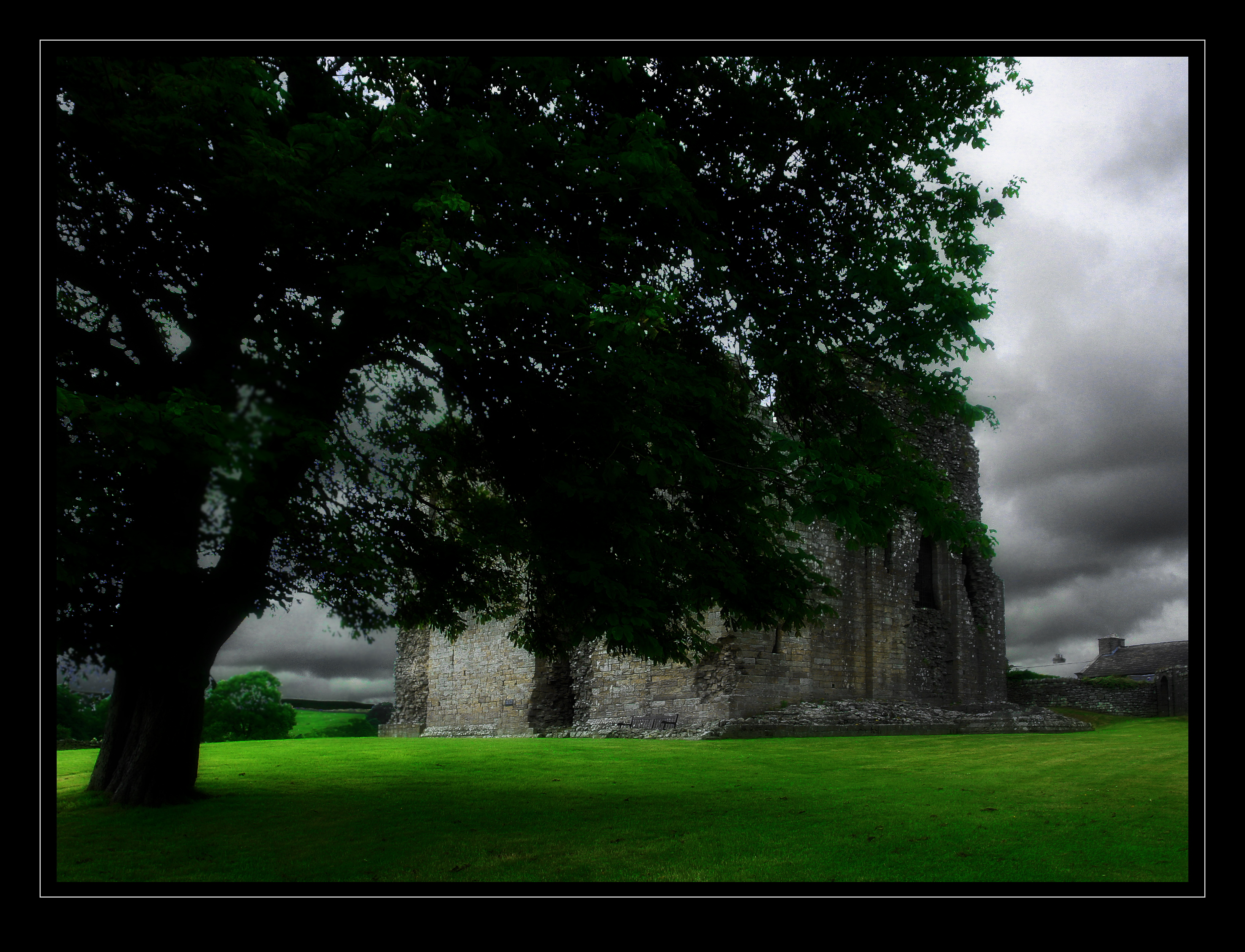
Egglestone Abbey A Winter View

Langthwaite Village in the Yorkshire Dales.
Barnard Castle
View from West Cottage

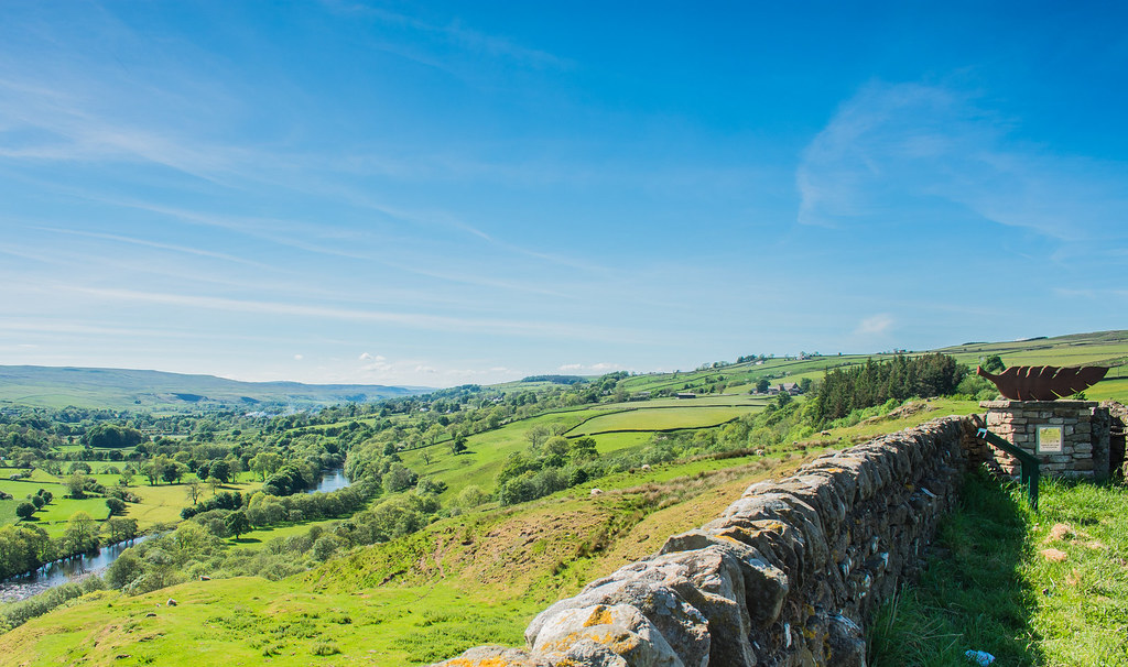
Scarset Rigg: view north
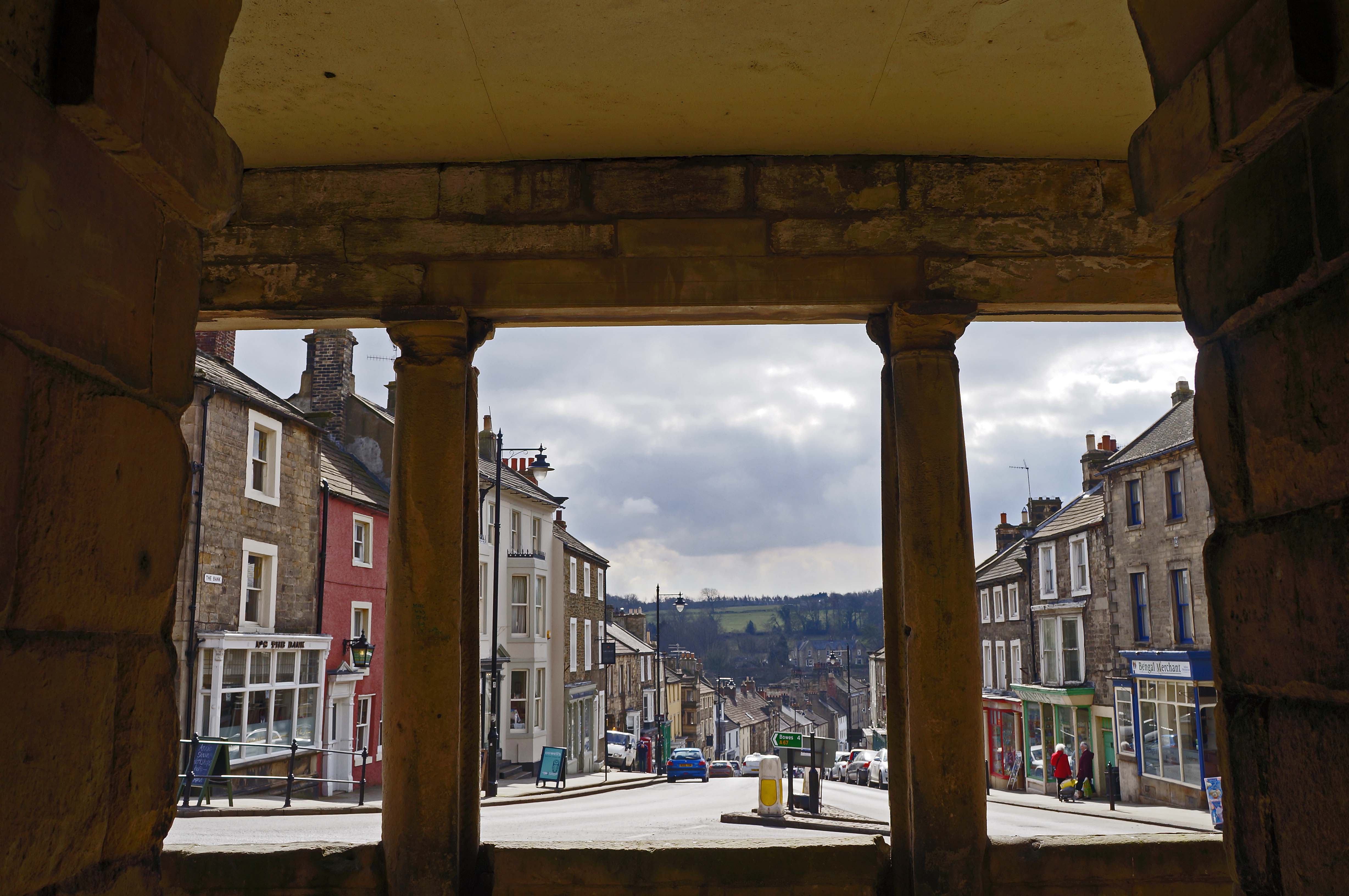
The Bank, Barnard Castle
thorngate footbridge
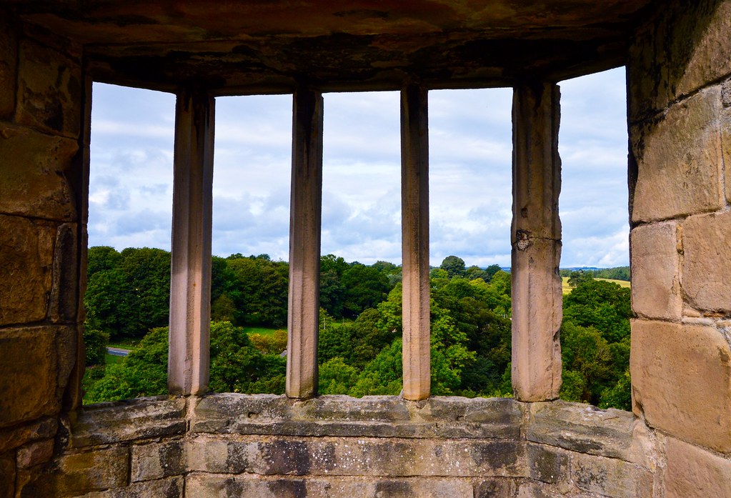
King Richard III Window

View from mill chimney stump rip
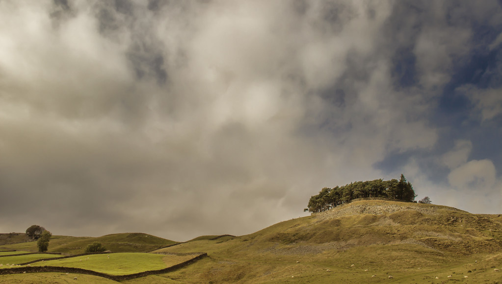
Kirk Carrion
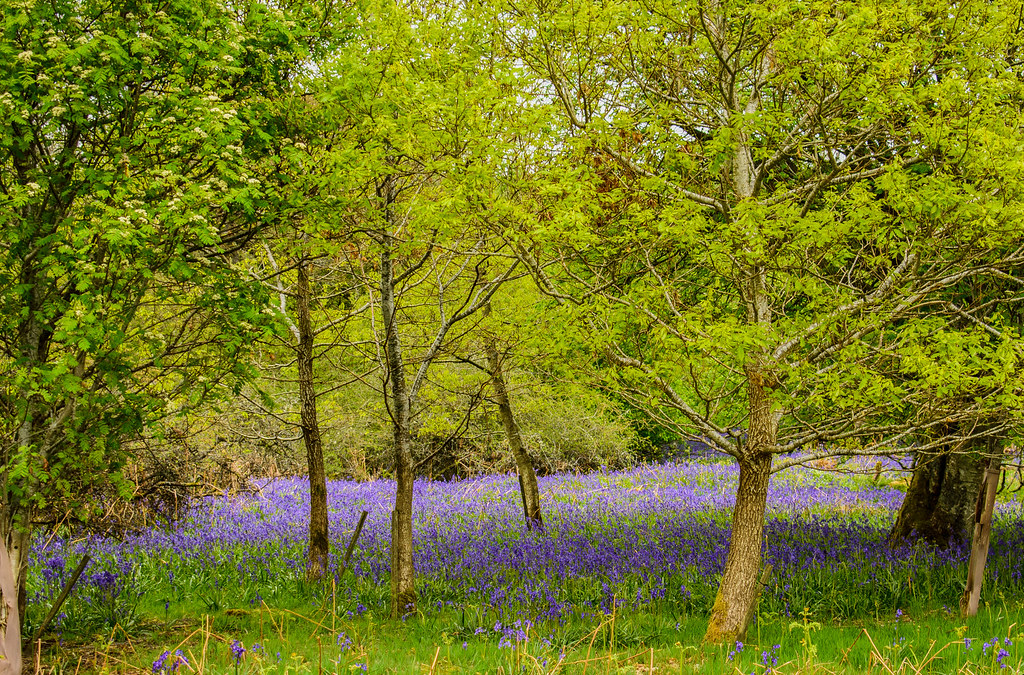
Bluebells: Park End Wood.
Force of Nature

Highforce Waterfall
Stodart Hush

2017.02.04 (2)

2017.02.24 (27)

2017.04.09 (2)
Castle In The Sky
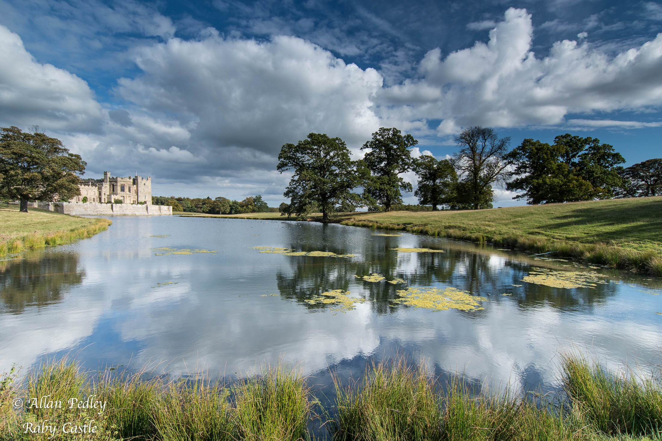
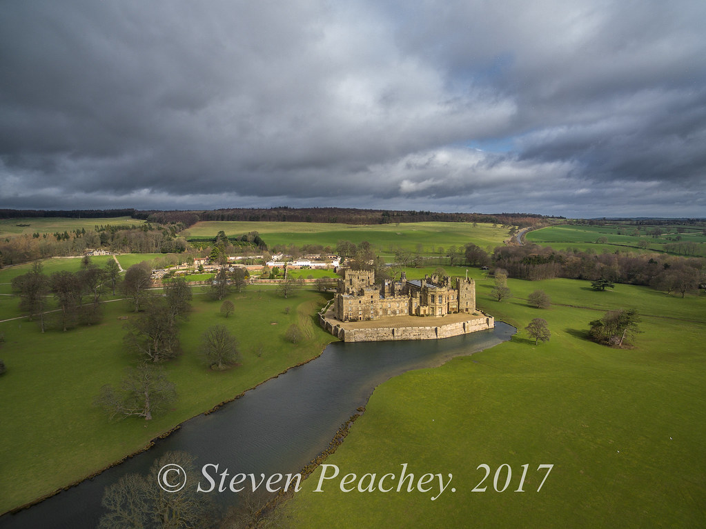
Raby Castle

Deer Cam
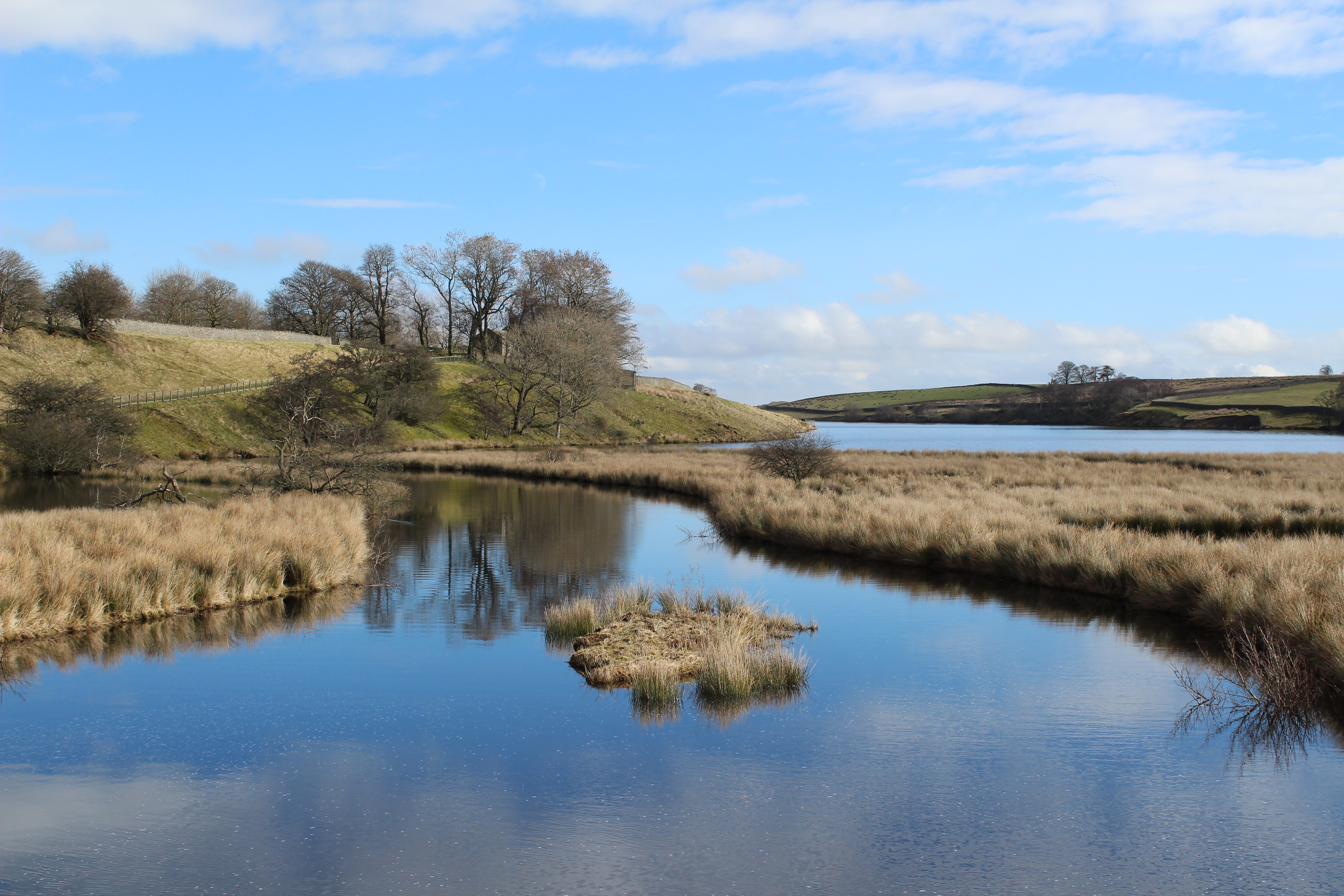
Blackton Reservoir, County Durham

Gainford's Golden Landscape.
Huggill Force (1)
Hamsterly forest
Down by The Riverside - Explore 10/11/2014

Autumn Arriving At The Grove Pond.
ravensworth castle
Topographic Map of Harmire Road, Harmire Rd, Barnard Castle DL12, UK
Find elevation by address:

Places near Harmire Road, Harmire Rd, Barnard Castle DL12, UK:
Barnard Castle
11b Vere Rd
Broomielaw Station House
Whorlton
Woodland
Copley
Dl13 5lr
Dl13 5rf
Dl13 5lp
Wycliffe
Bowes
Wycliffe Hall
5 The St, Barnard Castle DL12, UK
Fell View
Dl13 5pu
Hamsterley Forest
Butterknowle
Hutton Magna
Hury Reservoir House
Low Side
Recent Searches:
- Elevation of Rojo Ct, Atascadero, CA, USA
- Elevation of Flagstaff Drive, Flagstaff Dr, North Carolina, USA
- Elevation of Avery Ln, Lakeland, FL, USA
- Elevation of Woolwine, VA, USA
- Elevation of Lumagwas Diversified Farmers Multi-Purpose Cooperative, Lumagwas, Adtuyon, RV32+MH7, Pangantucan, Bukidnon, Philippines
- Elevation of Homestead Ridge, New Braunfels, TX, USA
- Elevation of Orchard Road, Orchard Rd, Marlborough, NY, USA
- Elevation of 12 Hutchinson Woods Dr, Fletcher, NC, USA
- Elevation of Holloway Ave, San Francisco, CA, USA
- Elevation of Norfolk, NY, USA