Elevation of Hardscrabble Rd, Burnsville, NC, USA
Location: United States > North Carolina > Yancey County > Cane River >
Longitude: -82.411116
Latitude: 35.9303344
Elevation: 844m / 2769feet
Barometric Pressure: 92KPa
Elevation Map:
Satellite Map:
Related Photos:

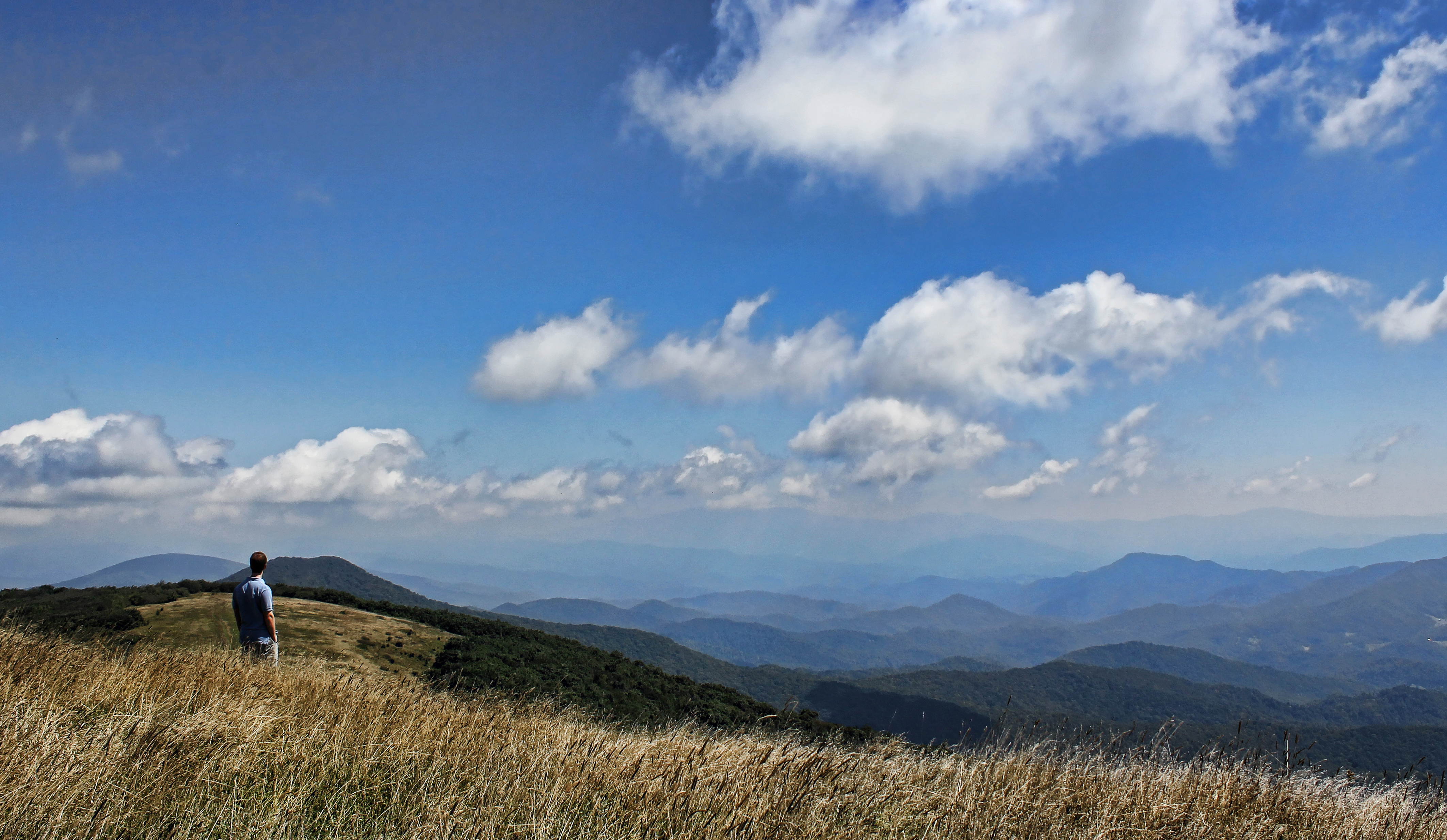
Western North Carolina Mountain View

Appalachian Trail

Bald Mountain

Mountain Layers

Wolf Laurel Ski Resort

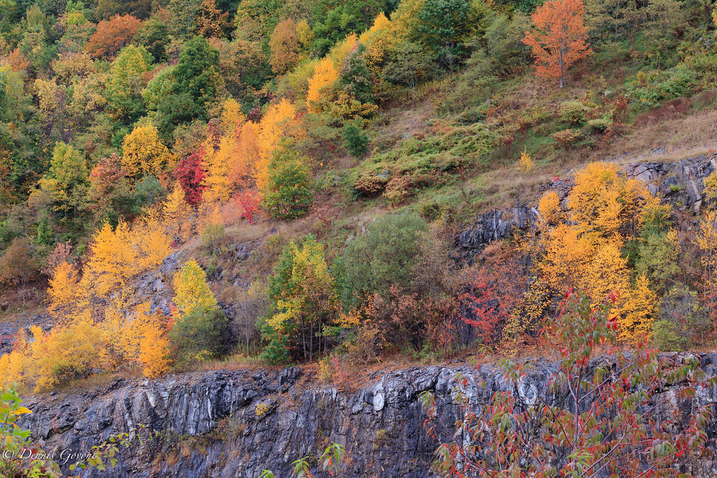
View of fall color on the mountains

Blue Ridge Sunrise

The View From The Top: Mountains

Mount Mitchell

THE MUMMY 3

Bald Mountain

Sunrise: Black Mountains, NC

I-26 West view

Big Bald

Bald Mountain

High Rock

Big Stamp

church in the rain

Big Bald

Appalachian Trail

Appalachian Trail

CSX Q692 @ Green Mountain
The Lookout

Water, Soil, Seed, Work = Vegetables!

Appalachian Trail

Spivey Falls

Bald Mountain

Evening light at Scenic Wolf
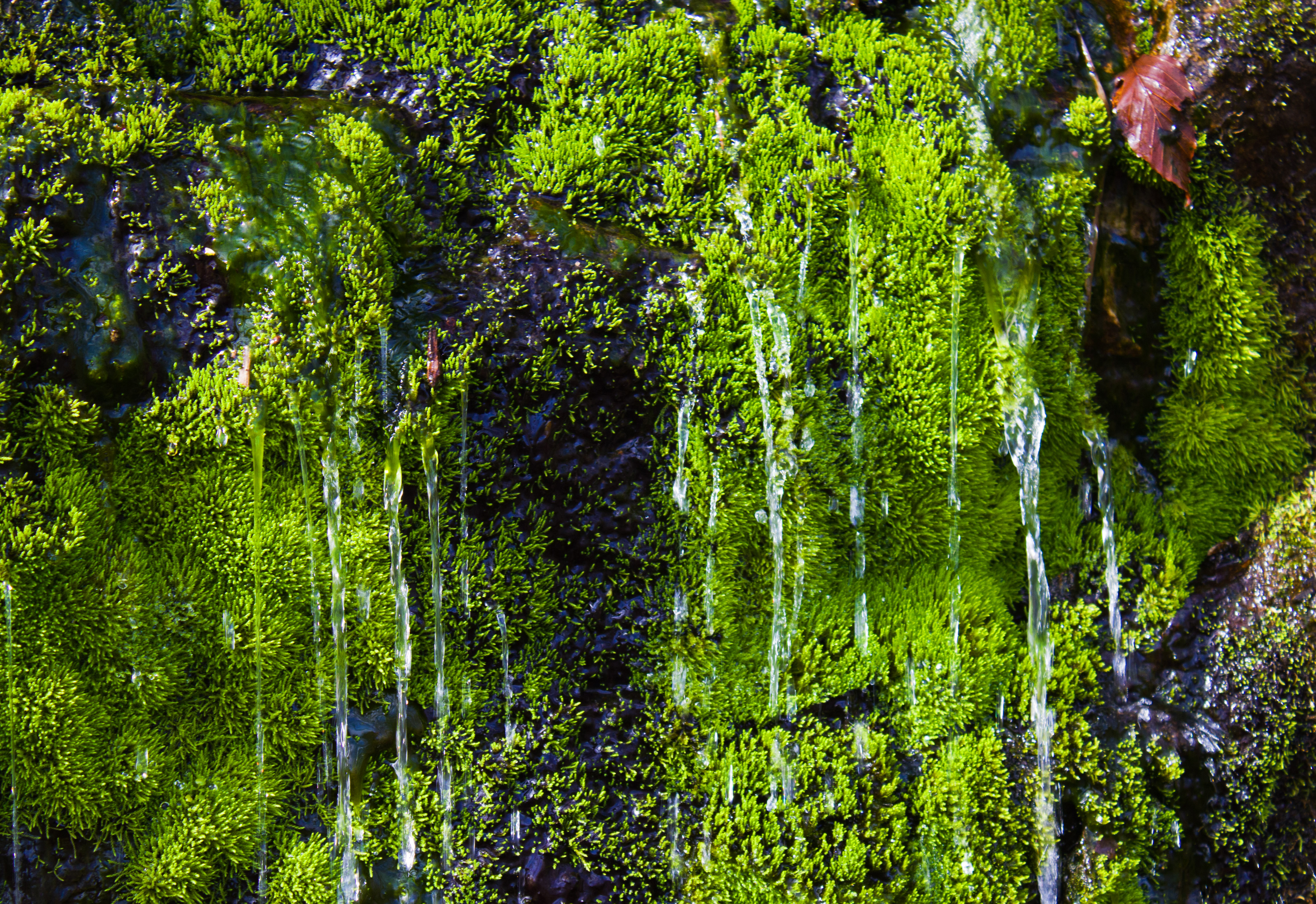
Stone Moss
Tennesee Colors

The Cure

Flow like water.jpg
Topographic Map of Hardscrabble Rd, Burnsville, NC, USA
Find elevation by address:

Places near Hardscrabble Rd, Burnsville, NC, USA:
1189 Hardscrabble Rd
482 Mathis Rd
Hardscrabble Road
566 Hardscrabble Rd
Cane River
1375 Swing Rd
Pleasant Valley Rd, Burnsville, NC, USA
Lickskillet Road
49-185 Pinnacle Rd
329 Pinnacle Rd
329 Pinnacle Rd
329 Pinnacle Rd
223 Pinnacle Rd
223 Pinnacle Rd
1128 Possum Trot Rd
Pinnacle Road
118 Victory Ln
270 Jr Pate Rd
Windcrest Drive
8 Us-19
Recent Searches:
- Elevation of Congressional Dr, Stevensville, MD, USA
- Elevation of Bellview Rd, McLean, VA, USA
- Elevation of Stage Island Rd, Chatham, MA, USA
- Elevation of Shibuya Scramble Crossing, 21 Udagawacho, Shibuya City, Tokyo -, Japan
- Elevation of Jadagoniai, Kaunas District Municipality, Lithuania
- Elevation of Pagonija rock, Kranto 7-oji g. 8"N, Kaunas, Lithuania
- Elevation of Co Rd 87, Jamestown, CO, USA
- Elevation of Tenjo, Cundinamarca, Colombia
- Elevation of Côte-des-Neiges, Montreal, QC H4A 3J6, Canada
- Elevation of Bobcat Dr, Helena, MT, USA