Elevation of Hardin, CO, USA
Location: United States > Colorado > Weld County >
Longitude: -104.42551
Latitude: 40.3510921
Elevation: 1380m / 4528feet
Barometric Pressure: 86KPa
Elevation Map:
Satellite Map:
Related Photos:

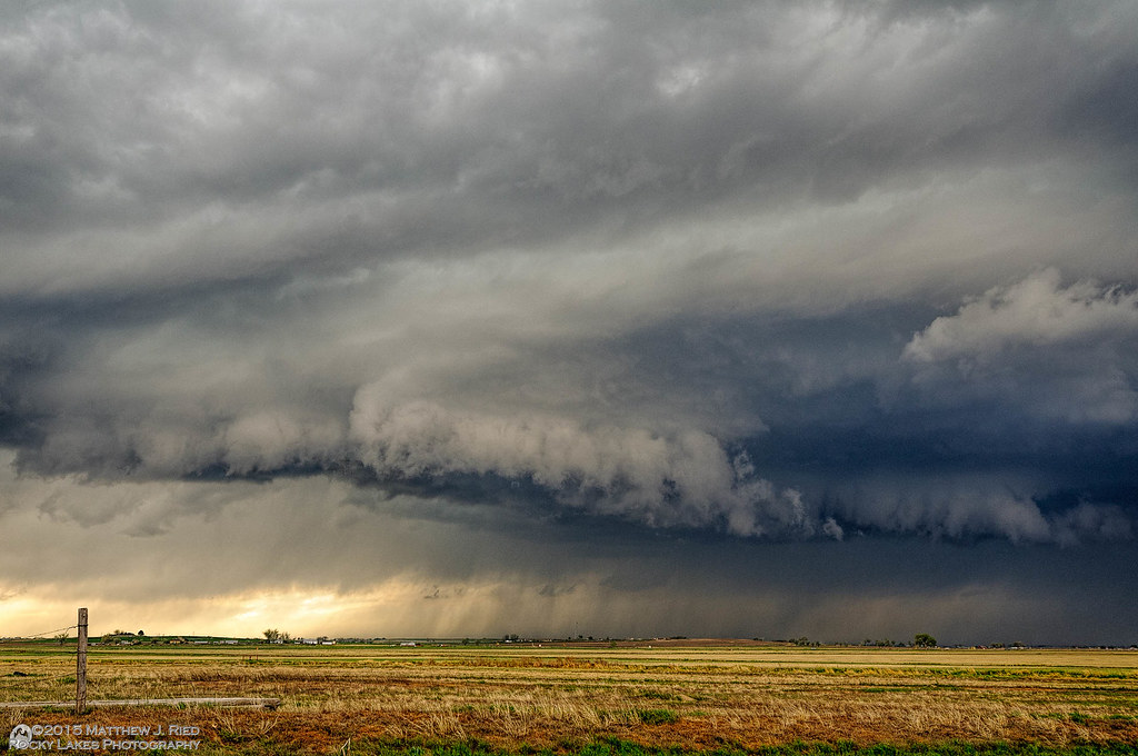
Country Spring Storm

Flight Lines
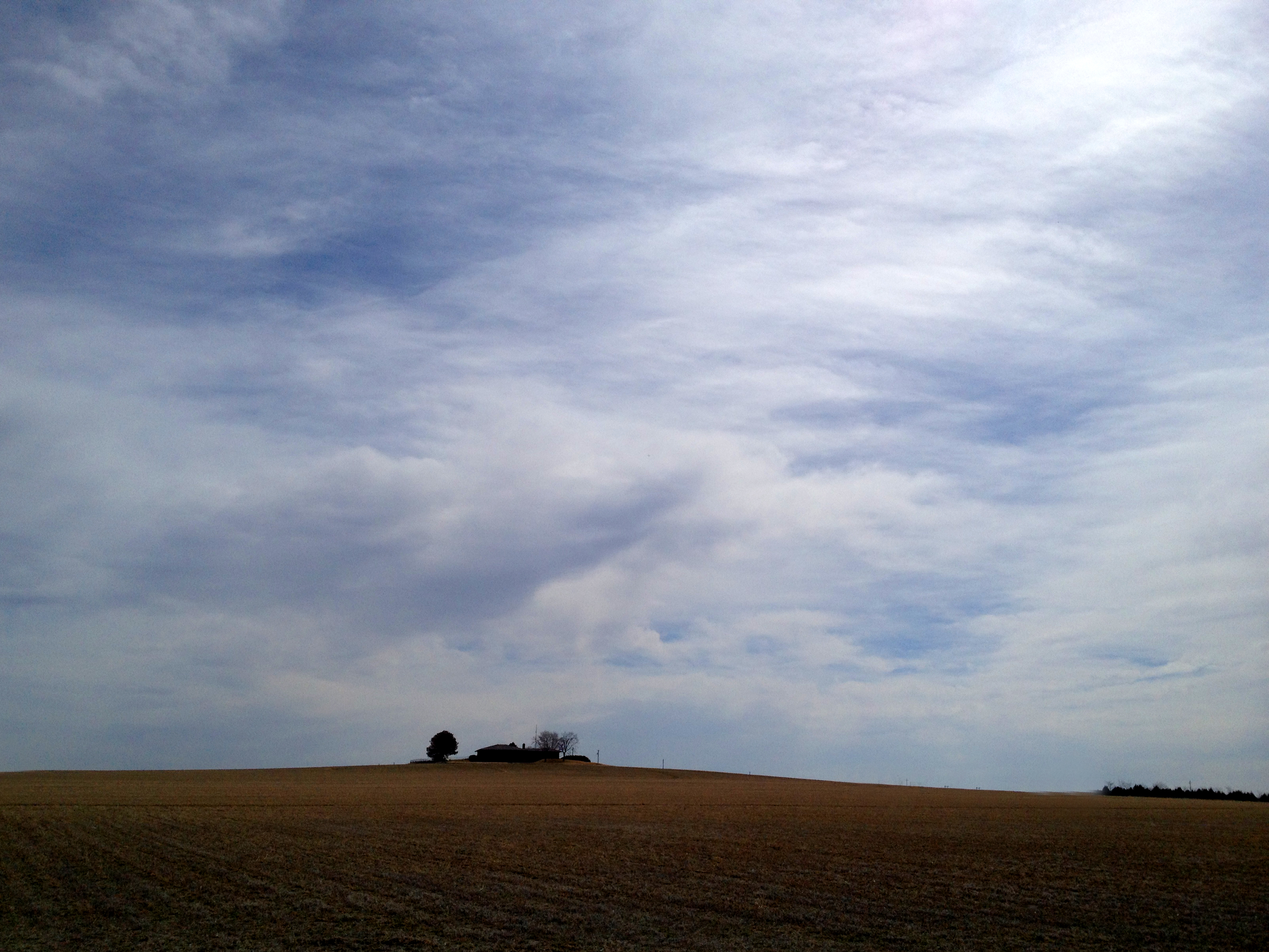
House On The Hill - Weld County - March 2014
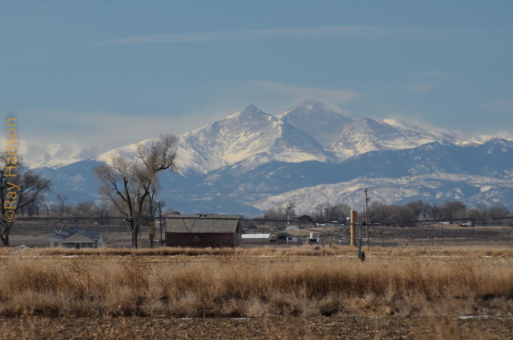
Twin Peaks
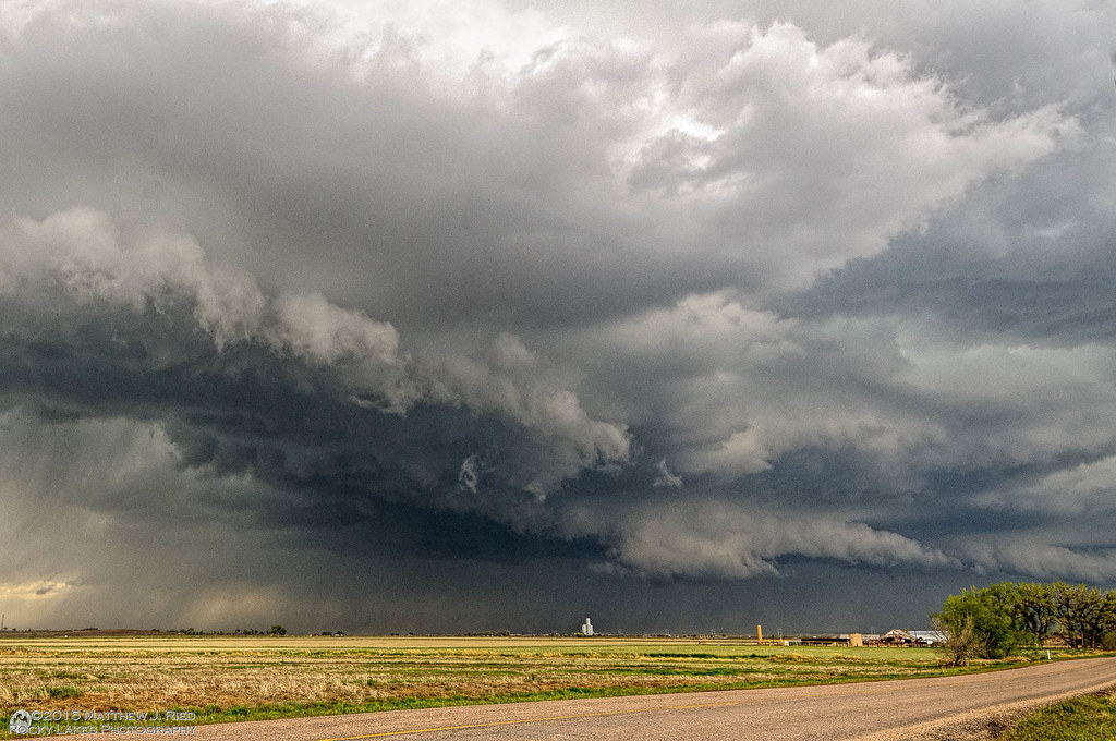
Severe thunderstorm near Kersey, CO May 7, 1014
Severe thunderstorm near Kersey, CO May 7, 2014

Weld County (Colorado) Road 61, just N of WCR 380, east of Kersey (40°22'33" N 104°29'19" W) - PLDS5158

Weld County (Colorado) Road 380, between WCR 61 and WCR 6, in ESE of Kersey (40°22'27" N 104°28'59" W) - PLDS5129
Topographic Map of Hardin, CO, USA
Find elevation by address:

Places near Hardin, CO, USA:
Co Rd, Kersey, CO, USA
Co Rd 61, Kersey, CO, USA
Co Rd 55, Kersey, CO, USA
Kersey
Co Rd 45, Greeley, CO, USA
Cache La Poudre River
20th St, Greeley, CO, USA
6th Ave Ln, Garden City, CO, USA
Central St, Evans, CO, USA
Garden City
Evans
University Of Northern Colorado
La Salle
919 7th St
2260 17th Ave
Greeley
Carniceria La Tuxpeña
Weld County
2551 24th St
Co Rd 35, La Salle, CO, USA
Recent Searches:
- Elevation of N, Mt Pleasant, UT, USA
- Elevation of 6 Rue Jules Ferry, Beausoleil, France
- Elevation of Sattva Horizon, 4JC6+G9P, Vinayak Nagar, Kattigenahalli, Bengaluru, Karnataka, India
- Elevation of Great Brook Sports, Gold Star Hwy, Groton, CT, USA
- Elevation of 10 Mountain Laurels Dr, Nashua, NH, USA
- Elevation of 16 Gilboa Ln, Nashua, NH, USA
- Elevation of Laurel Rd, Townsend, TN, USA
- Elevation of 3 Nestling Wood Dr, Long Valley, NJ, USA
- Elevation of Ilungu, Tanzania
- Elevation of Yellow Springs Road, Yellow Springs Rd, Chester Springs, PA, USA