Elevation of Happy Land, Mansoura Qism 2, Mansoura, Dakahlia Governorate, Egypt
Location: Egypt > Dakahlia Governorate >
Longitude: 31.3886458
Latitude: 31.0486116
Elevation: 11m / 36feet
Barometric Pressure: 101KPa
Elevation Map:
Satellite Map:
Related Photos:
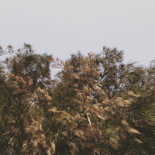
The view from right here - Trees.

Man Vs. Nature, #Mansoura #Egypt
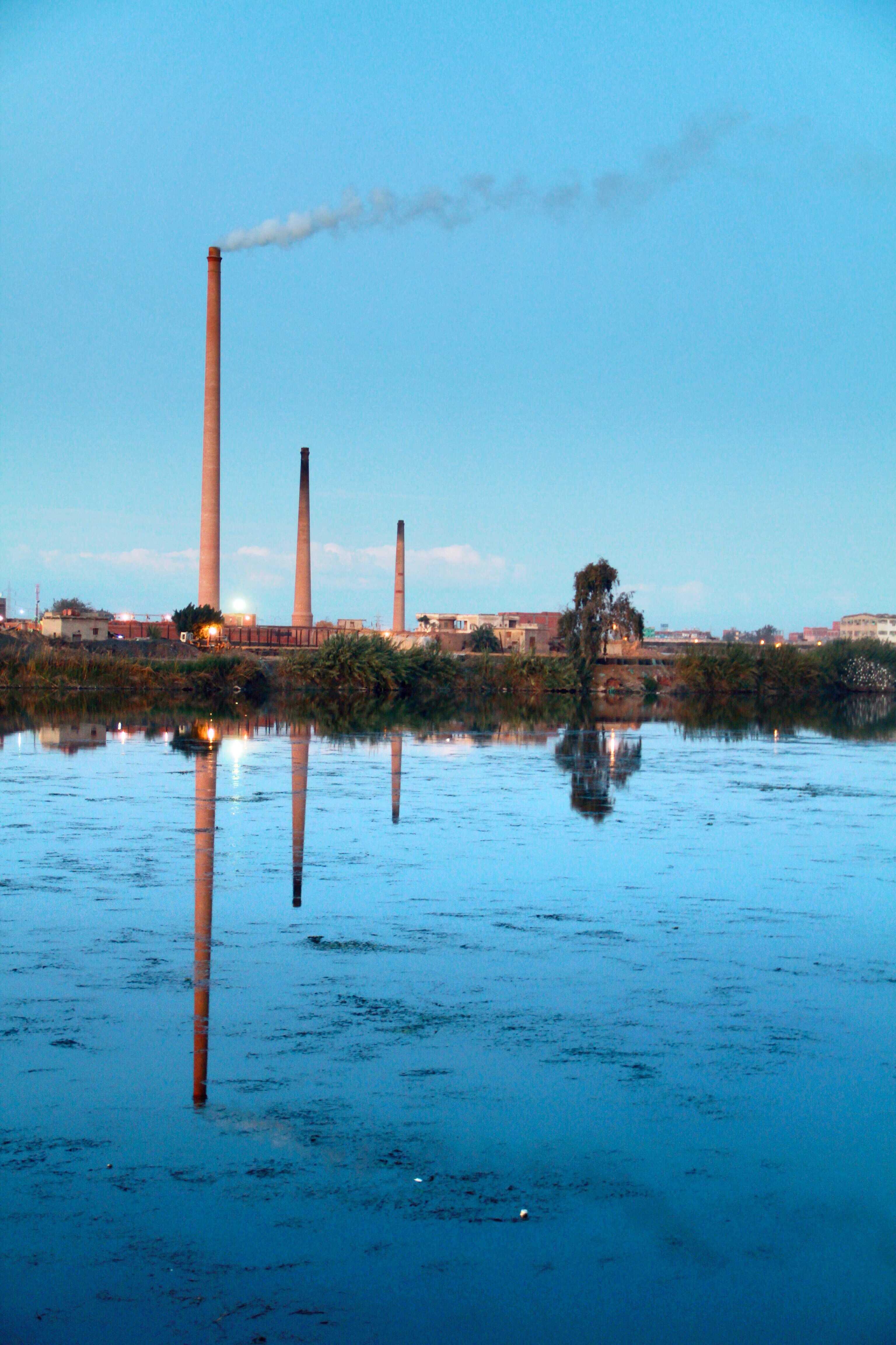
River Nile
2014-11-29 16.12.02
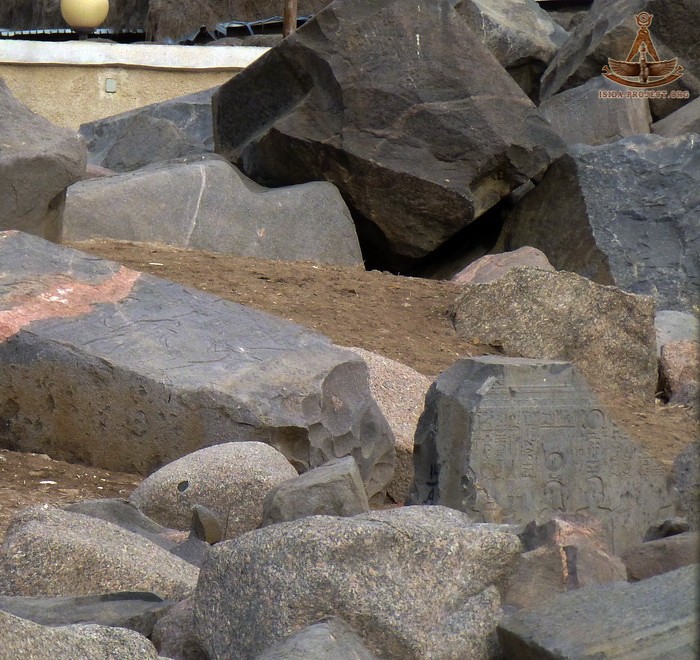
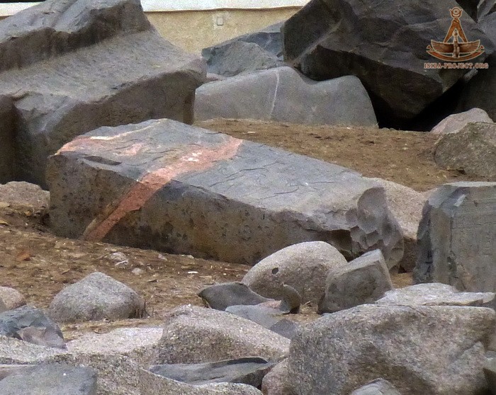
Behbeit-el-Hagarthe Temple of Isis (10)
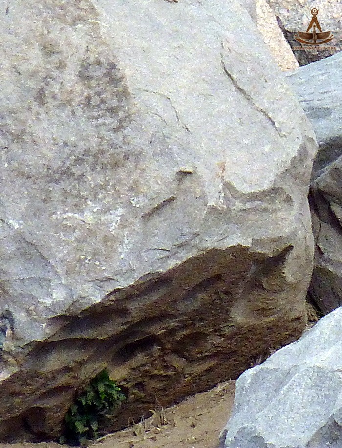
Behbeit-el-Hagarthe Temple of Isis (2)
Behbeit-el-Hagarthe Temple of Isis (14)
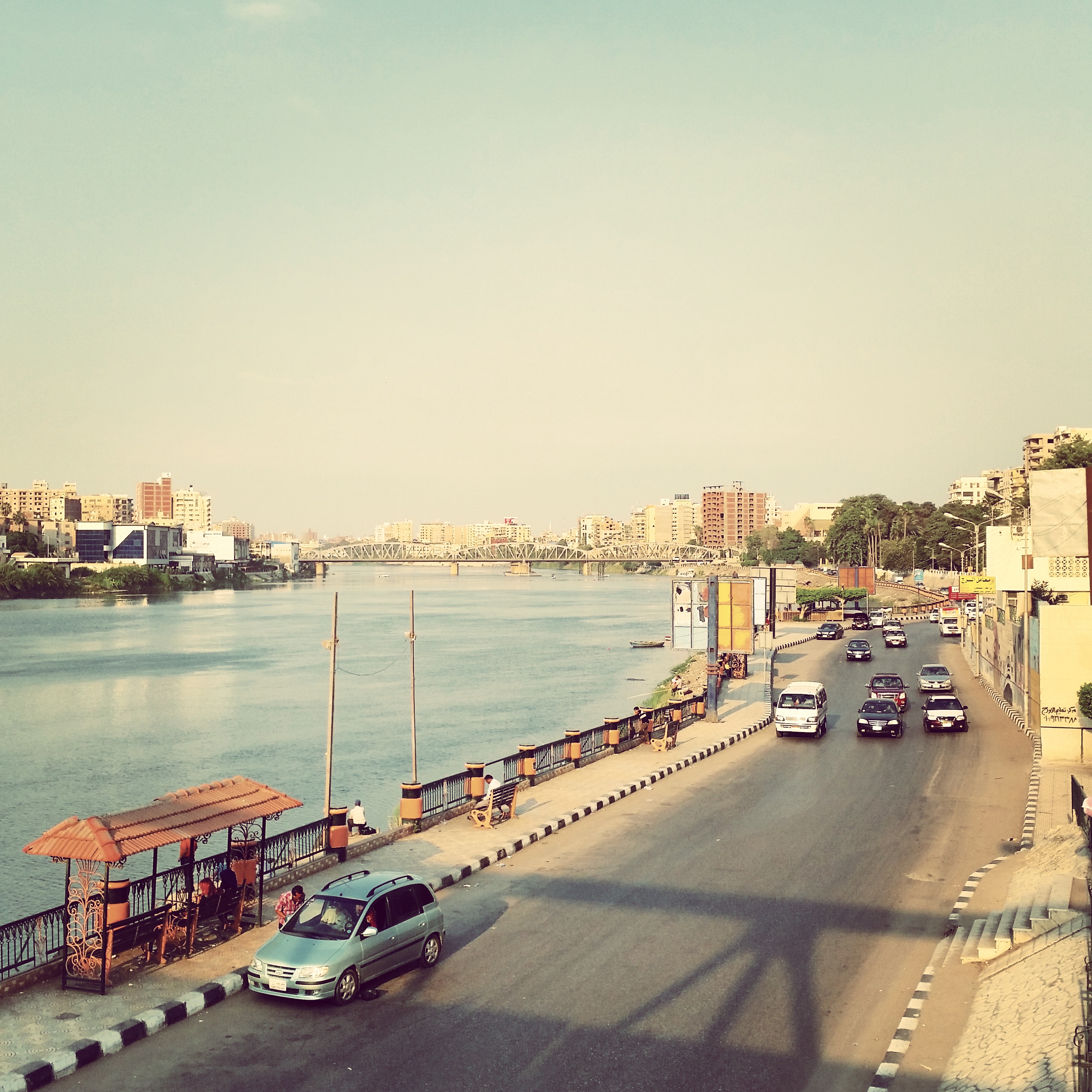
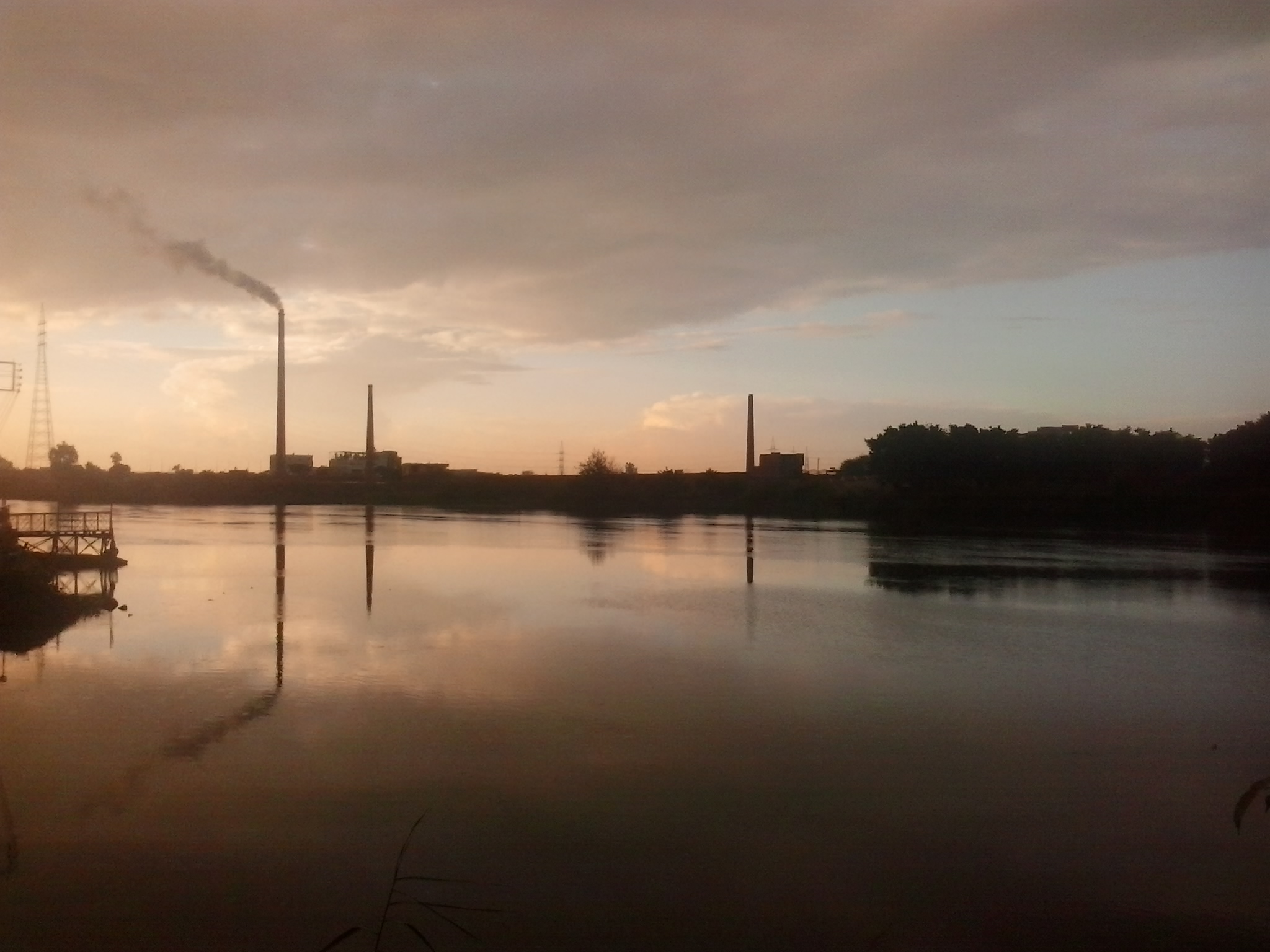
كورنيش المنصورة


IMG_3823


Topographic Map of Happy Land, Mansoura Qism 2, Mansoura, Dakahlia Governorate, Egypt
Find elevation by address:

Places near Happy Land, Mansoura Qism 2, Mansoura, Dakahlia Governorate, Egypt:
Mansoura Qism 2
Mansoura
Mansoura
Dakahlia Governorate
El-mahalla El-kubra
Al Mahalah Al Kubra (part 2)
Second Mahalla Al Kobra
Damietta Governorate
Qelabshowah
Kafr El-shaikh
Port Said Governorate
Port Fouad
Qesm Ash Sharq
Port Said
Shokri Al Kowatli
Recent Searches:
- Elevation of 6 Rue Jules Ferry, Beausoleil, France
- Elevation of Sattva Horizon, 4JC6+G9P, Vinayak Nagar, Kattigenahalli, Bengaluru, Karnataka, India
- Elevation of Great Brook Sports, Gold Star Hwy, Groton, CT, USA
- Elevation of 10 Mountain Laurels Dr, Nashua, NH, USA
- Elevation of 16 Gilboa Ln, Nashua, NH, USA
- Elevation of Laurel Rd, Townsend, TN, USA
- Elevation of 3 Nestling Wood Dr, Long Valley, NJ, USA
- Elevation of Ilungu, Tanzania
- Elevation of Yellow Springs Road, Yellow Springs Rd, Chester Springs, PA, USA
- Elevation of Rēzekne Municipality, Latvia