Elevation of Hancock County, IA, USA
Location: United States > Iowa >
Longitude: -93.662323
Latitude: 43.0387322
Elevation: 376m / 1234feet
Barometric Pressure: 97KPa
Elevation Map:
Satellite Map:
Related Photos:

Kanawha, Iowa Main Street looking southwest, about 1943
Kanawha, Iowa Main Street in 1927

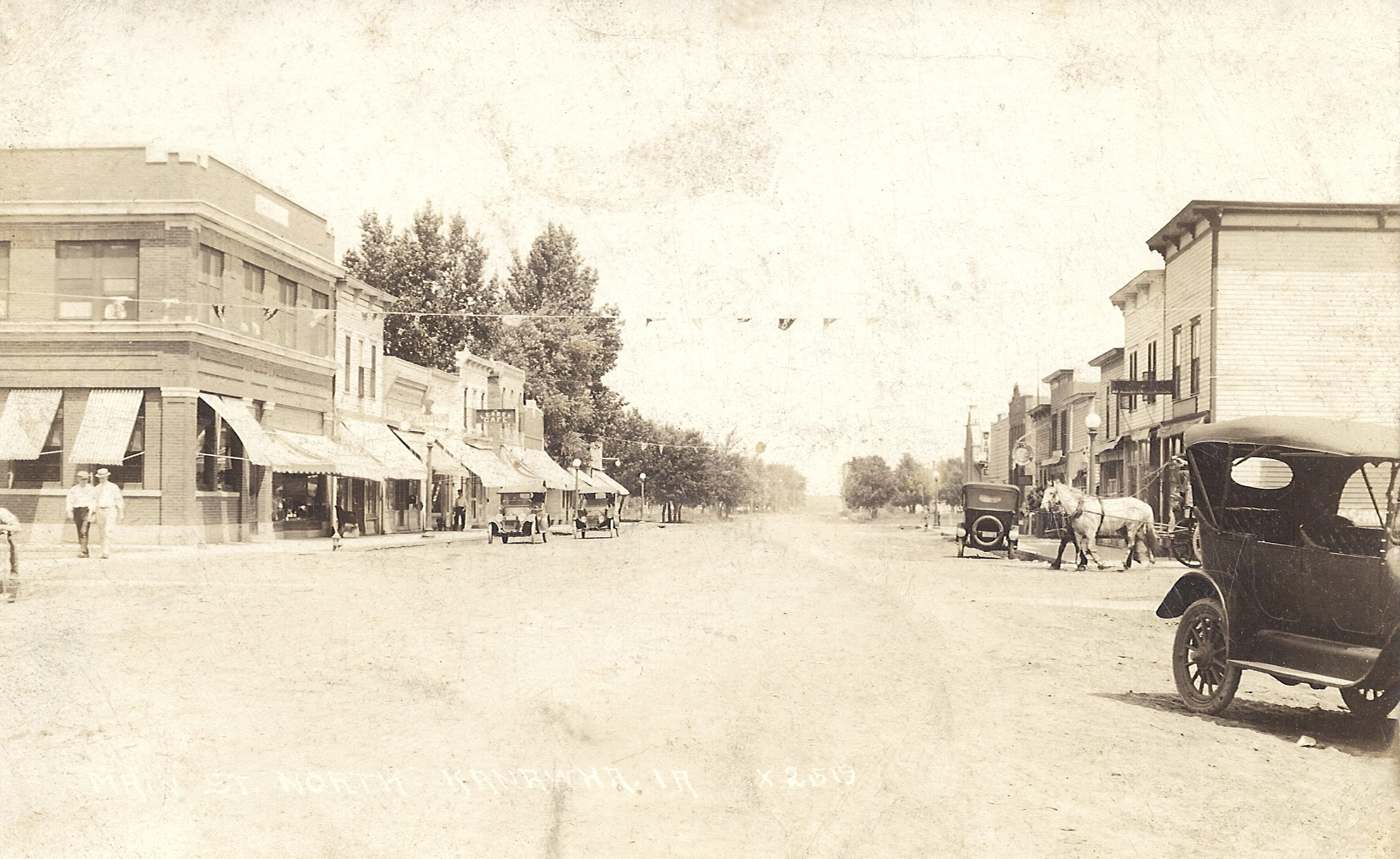
Kanawha, Iowa Main Street looking north around 1905
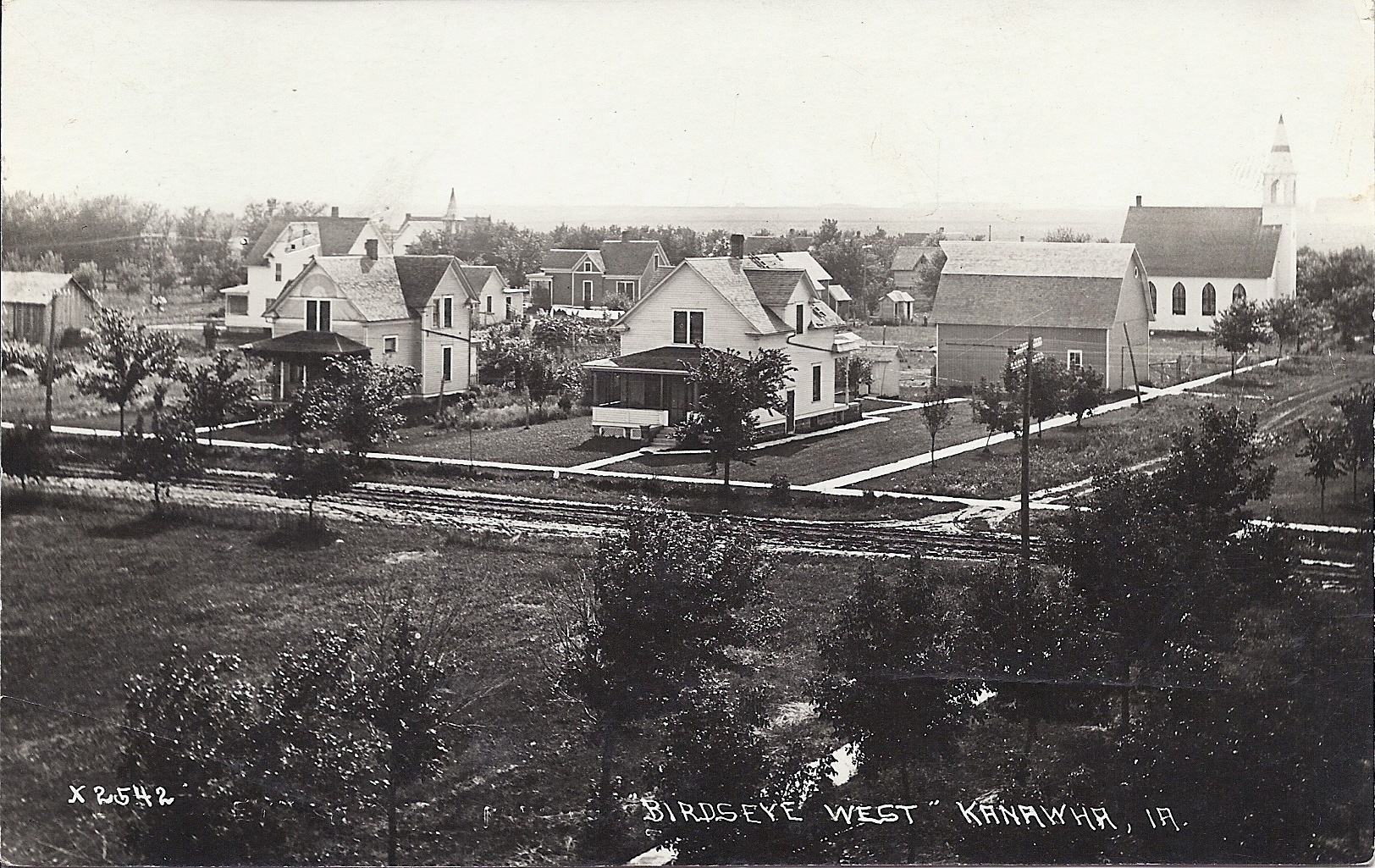
Kanawha, Iowa - Main Street Houses Birdseye View West
Kanawha, Iowa - early birdseye view, looking north
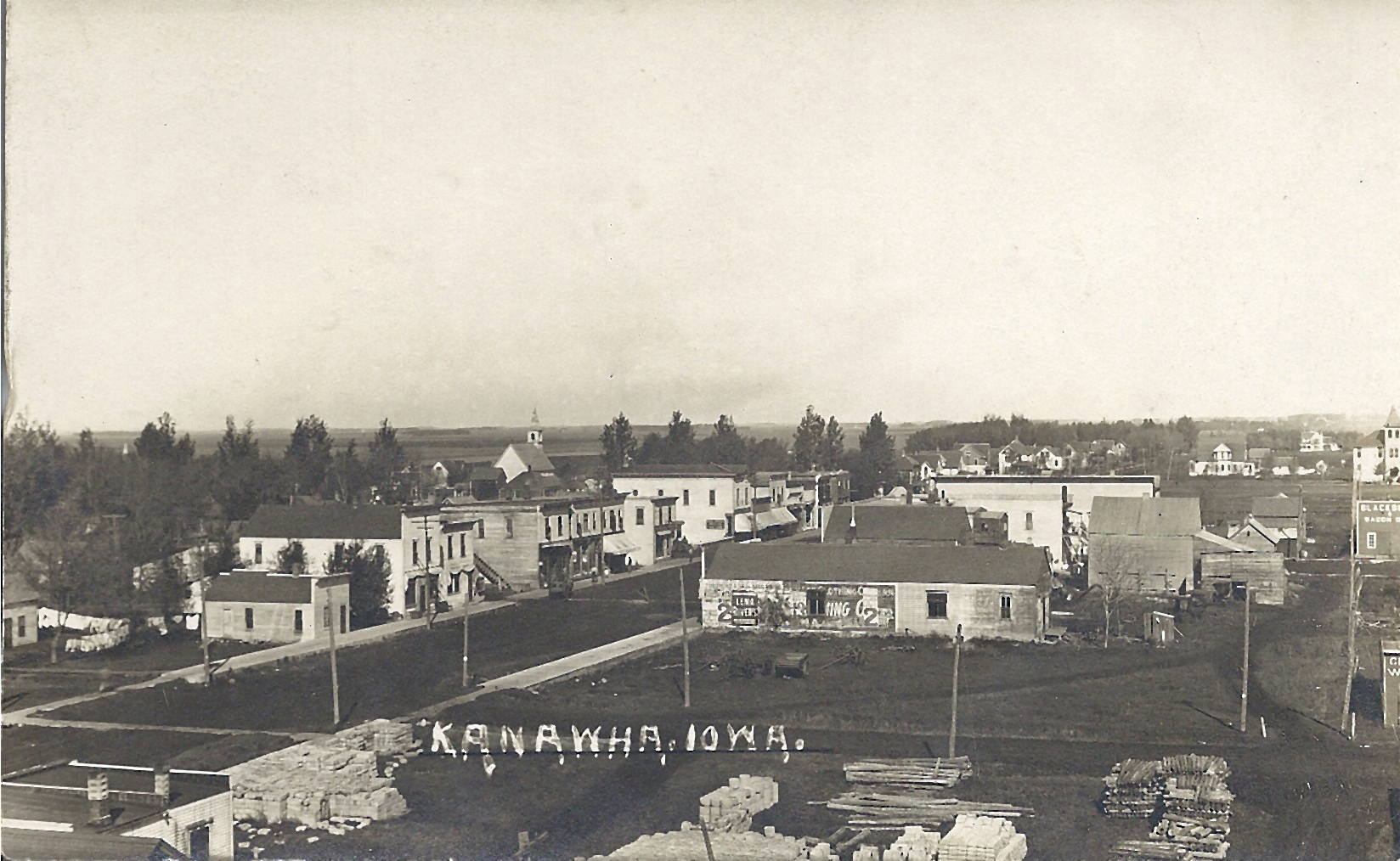
Kanawha, Iowa - 1912 Birdseye View Facing Northwest
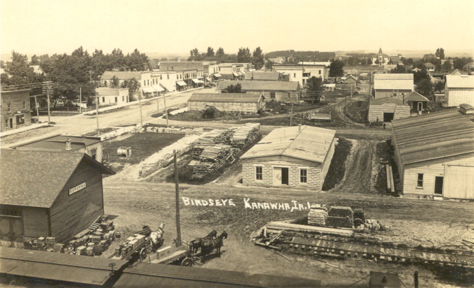
Kanawha, Iowa - Birdseye View about 1915
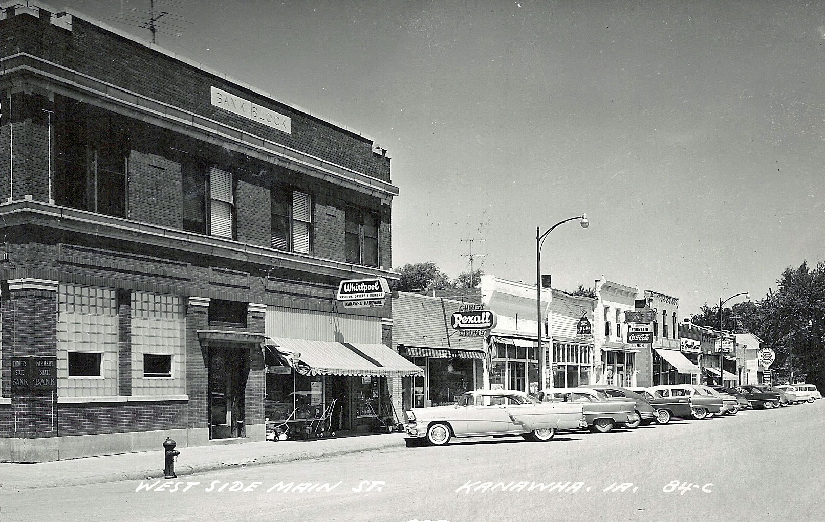
Kanawha, Iowa - Main Street, West side, looking north 1957
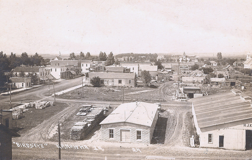
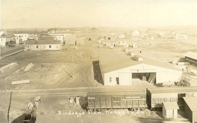
Kanawha Birds Eye View
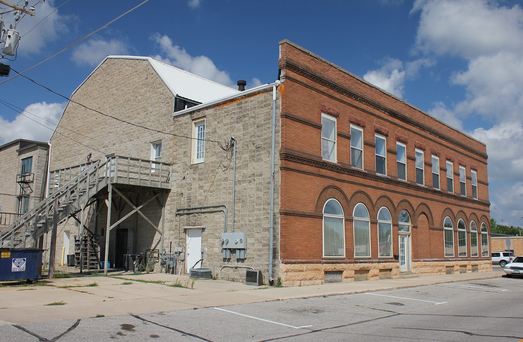
First National Bank of Garner Building (rear view) - Garner, IA

Red Crossbill (female)

White-winged Crossbill (bottom left) with Red Crossbills (male bottom right/female top middle)

White-winged Crossbill with Red Crossbills

Red Crossbill (male)

Red-shouldered Hawk (juvenile)

After the Storm
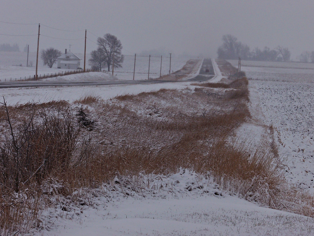
Snow on the Prairie
Topographic Map of Hancock County, IA, USA
Find elevation by address:

Places in Hancock County, IA, USA:
Places near Hancock County, IA, USA:
Klemme
E Main St, Klemme, IA, USA
880 E Lyons St
Garner
Ell
Dandyland Farms
Concord
N Elm St, Kanawha, IA, USA
Kanawha
Amsterdam
E Main St, Belmond, IA, USA
Belmond
Pleasant
2 E Lake St, Ventura, IA, USA
Ventura
120 Cathedral Oaks Rd
1st St, Meservey, IA, USA
Meservey
Clear Lake
Grimes
Recent Searches:
- Elevation of Corso Fratelli Cairoli, 35, Macerata MC, Italy
- Elevation of Tallevast Rd, Sarasota, FL, USA
- Elevation of 4th St E, Sonoma, CA, USA
- Elevation of Black Hollow Rd, Pennsdale, PA, USA
- Elevation of Oakland Ave, Williamsport, PA, USA
- Elevation of Pedrógão Grande, Portugal
- Elevation of Klee Dr, Martinsburg, WV, USA
- Elevation of Via Roma, Pieranica CR, Italy
- Elevation of Tavkvetili Mountain, Georgia
- Elevation of Hartfords Bluff Cir, Mt Pleasant, SC, USA