Elevation of Hancock County, GA, USA
Location: United States > Georgia >
Longitude: -83.036137
Latitude: 33.2882621
Elevation: 143m / 469feet
Barometric Pressure: 100KPa
Elevation Map:
Satellite Map:
Related Photos:

Giant Swallowtail - Papilio cresphontes

Giant Swallowtail - Papilio cresphontes
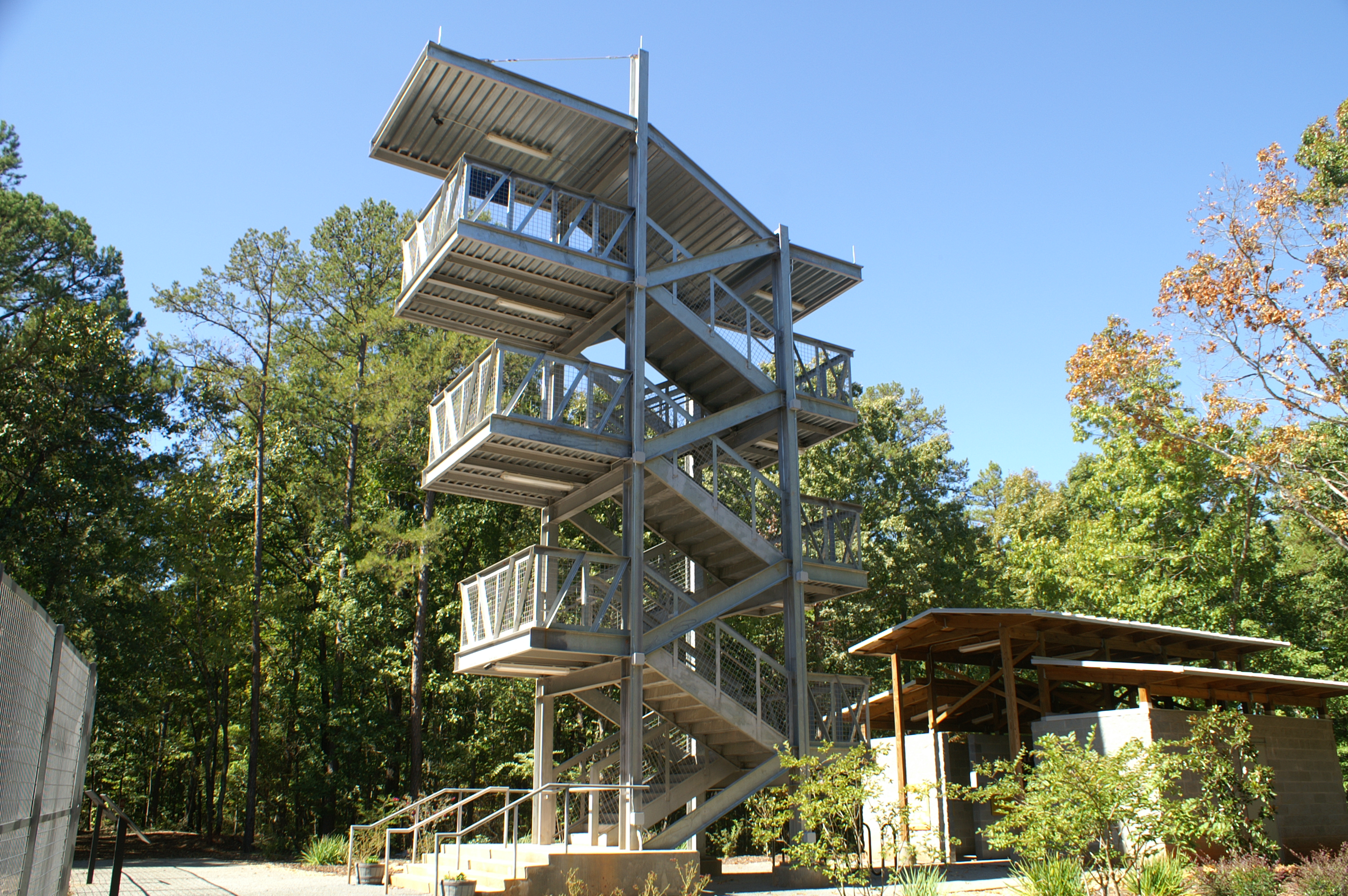
Viewing Tower
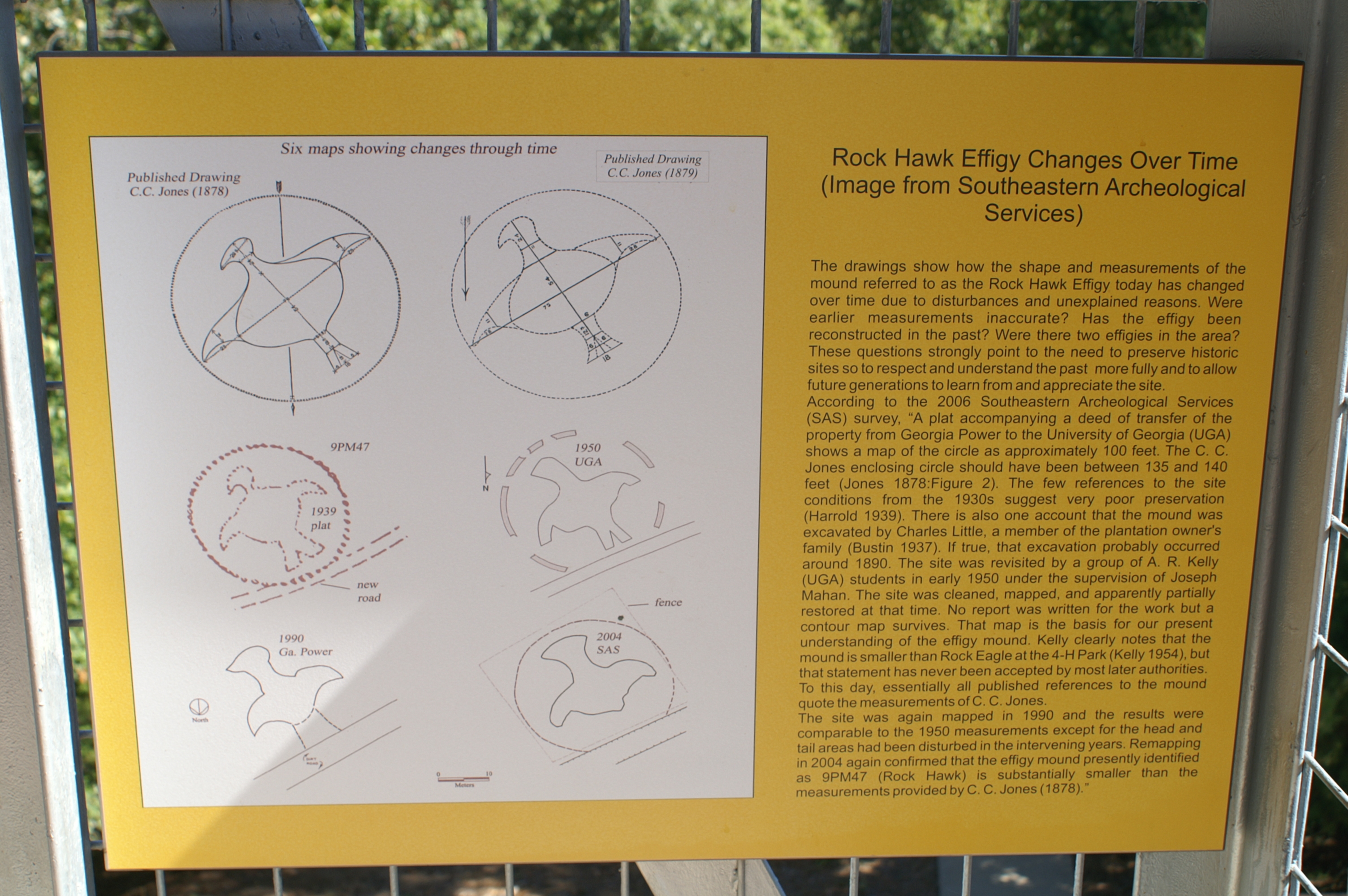
view large to read

Giant Swallowtail - Papilio cresphontes
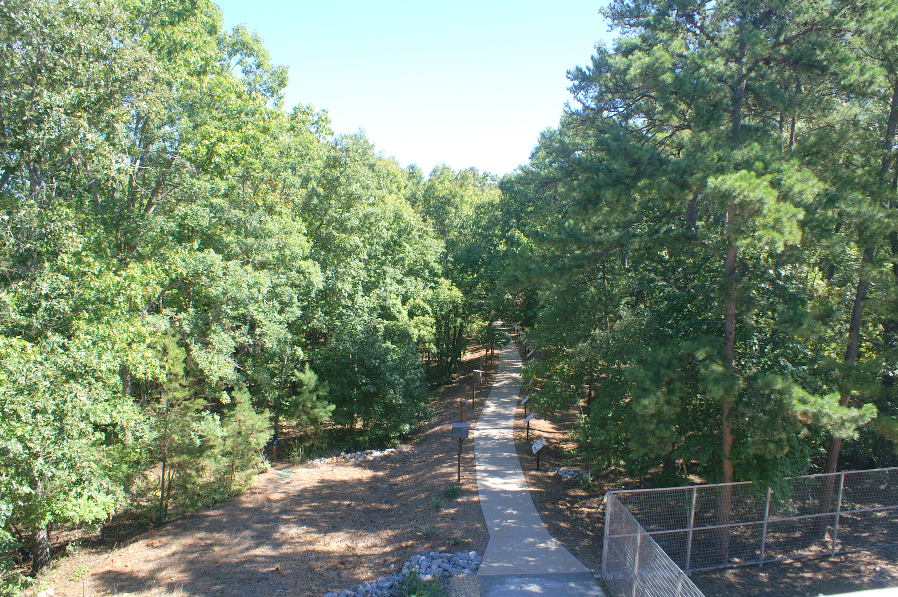
Effigy Trail

9/2/13 07:36

Driving Back to Atlanta

9/1/13 20:04

9/1/13 20:04

9/1/13 20:04

9/2/13 06:43

9/1/13 20:05

9/1/13 20:05

9/2/13 07:24

9/2/13 07:21

9/1/13 20:03

9/1/13 20:03

9/2/13 07:31

9/2/13 07:24

9/2/13 07:33

9/2/13 07:08

9/2/13 07:07

9/1/13 19:58

9/1/13 19:57

9/2/13 07:13

9/2/13 07:20
Topographic Map of Hancock County, GA, USA
Find elevation by address:

Places in Hancock County, GA, USA:
Places near Hancock County, GA, USA:
Georgia 22
Sparta
Hancock Central Middle School
Main St, Sparta, GA, USA
1646 Hitchcock Cemetery Rd
1656 Hitchcock Cemetery Rd
1500 Cherokee Trail
GA-15, White Plains, GA, USA
Sparta Hwy, Sparta, GA, USA
126 Oak Ridge Ln
Linton Rd, Sparta, GA, USA
White Plains
1100 W Main St
1310 Red Rd
101 Lands Ct
Veazey Rd, White Plains, GA, USA
1070 Bartrams Bluff
173 Blue Heron Dr
1210 Granite Cove Dr
The Ritz-carlton Reynolds, Lake Oconee
Recent Searches:
- Elevation of Tenjo, Cundinamarca, Colombia
- Elevation of Côte-des-Neiges, Montreal, QC H4A 3J6, Canada
- Elevation of Bobcat Dr, Helena, MT, USA
- Elevation of Zu den Ihlowbergen, Althüttendorf, Germany
- Elevation of Badaber, Peshawar, Khyber Pakhtunkhwa, Pakistan
- Elevation of SE Heron Loop, Lincoln City, OR, USA
- Elevation of Slanický ostrov, 01 Námestovo, Slovakia
- Elevation of Spaceport America, Co Rd A, Truth or Consequences, NM, USA
- Elevation of Warwick, RI, USA
- Elevation of Fern Rd, Whitmore, CA, USA