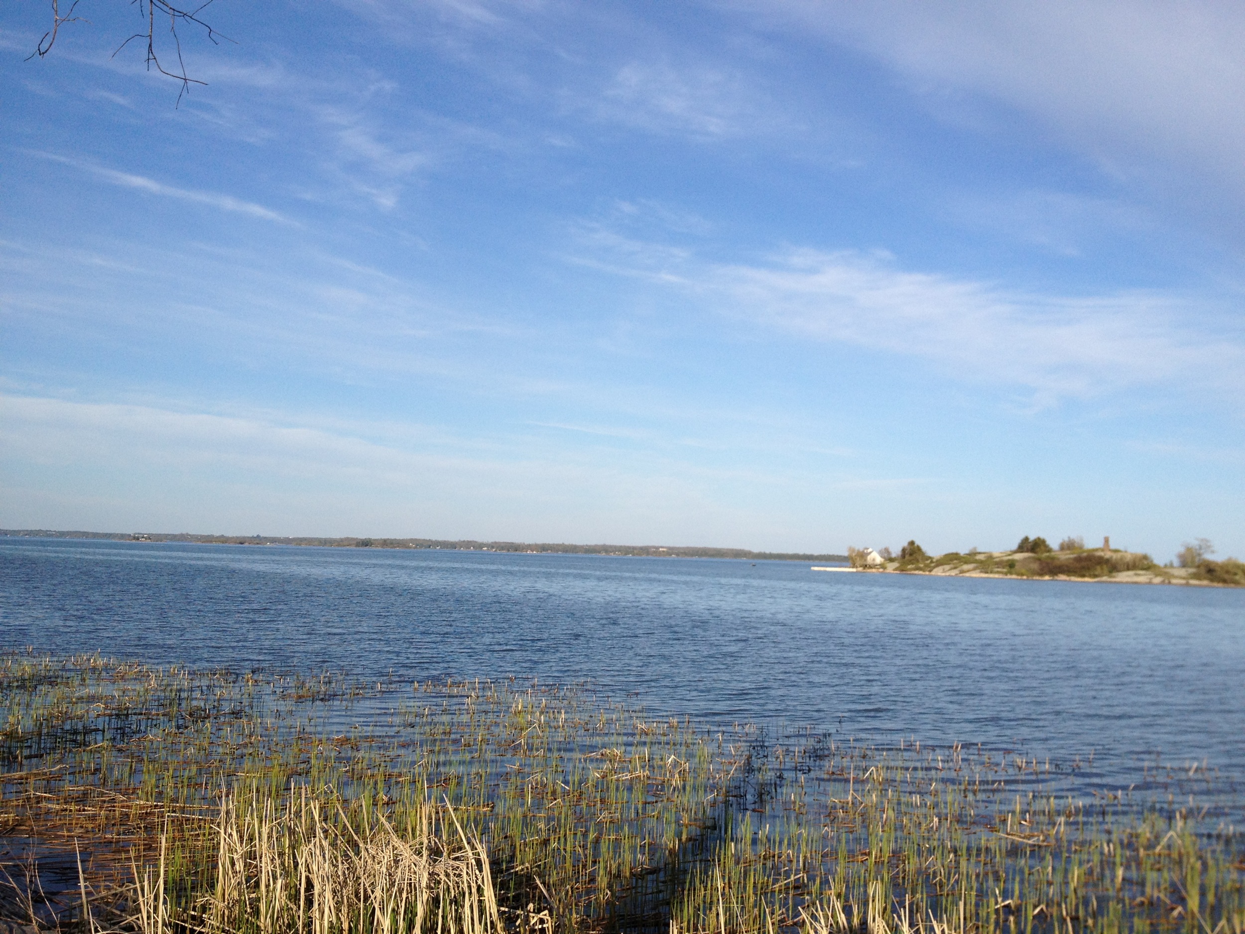
Elevation of Hammond, NY, USA
Location: United States > New York > St. Lawrence County > Hammond >
Longitude: -75.694122
Latitude: 44.4489478
Elevation: 109m / 358feet
Barometric Pressure: 100KPa
Elevation Map:
Satellite Map:
Related Photos:
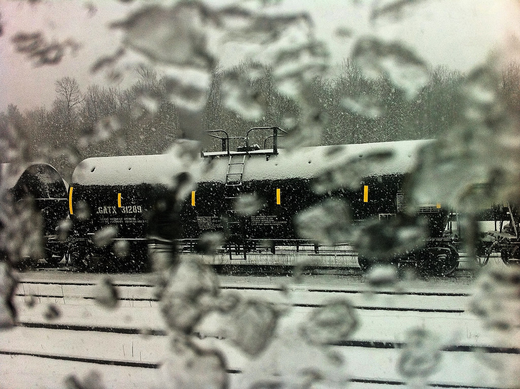
Via Rail - Toronto - Montreal
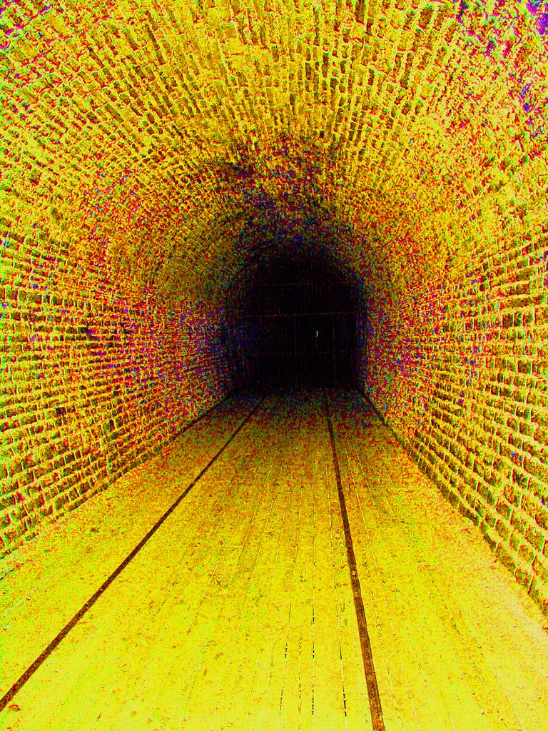
Tunnel Vision
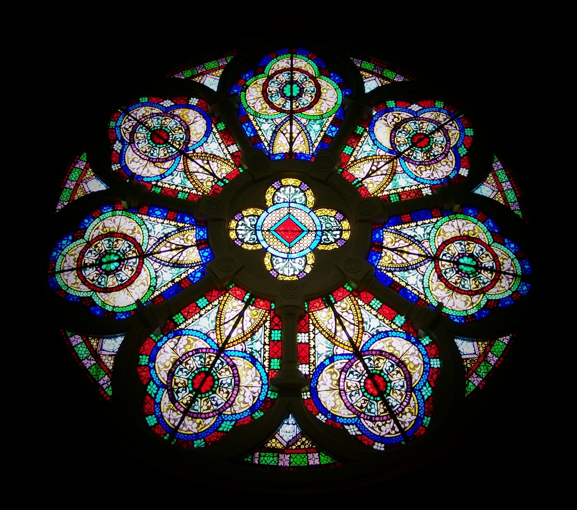
Rose window

This evenings dinner setting, cool enough to close doors but still such a beautiful 1000 Islands view

Damselfly Brockville Ontario
22SEP14: threes
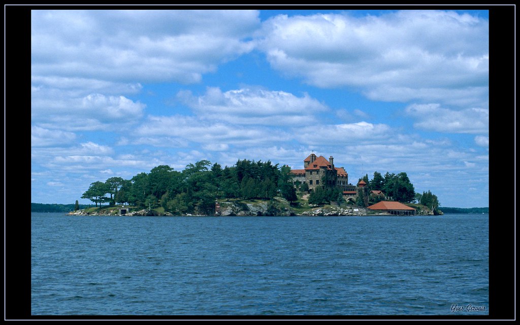
Mille îles, Thousand Island
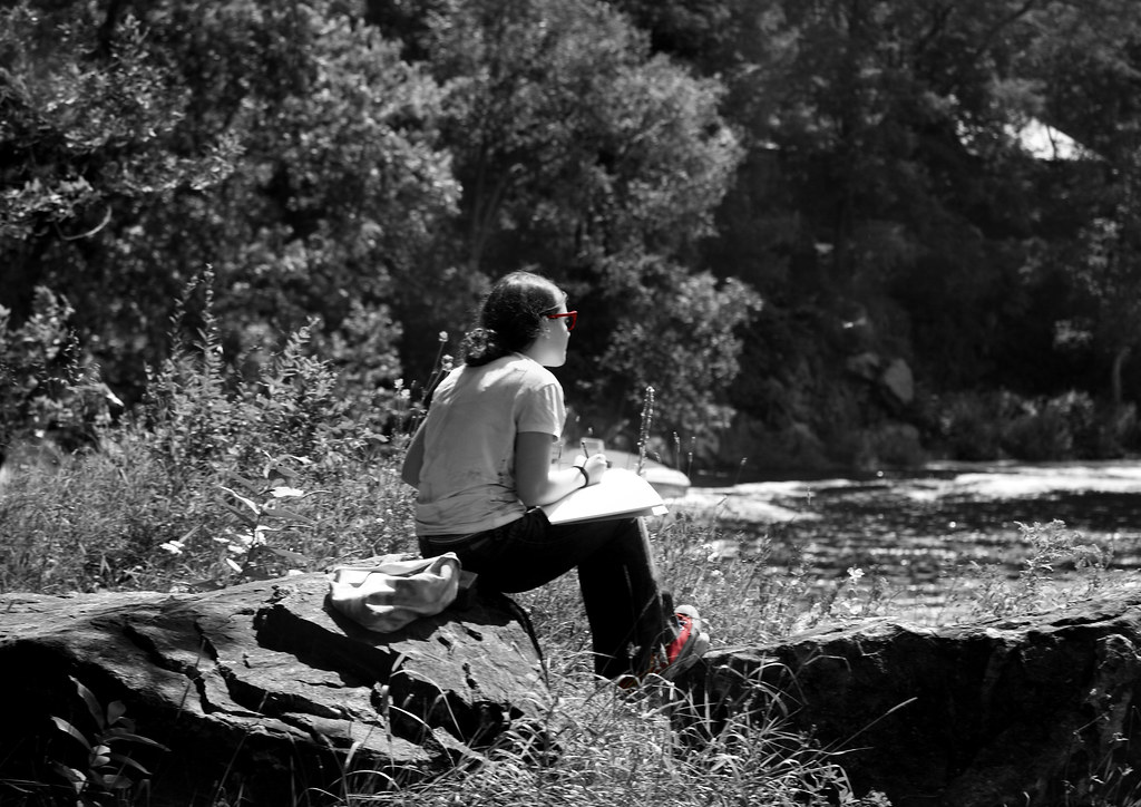
The Artist At Work
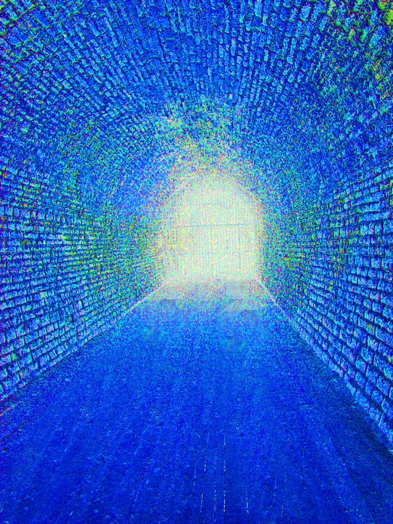
Tunnel Vision

Singer Library
Sinking Into The Abyss...
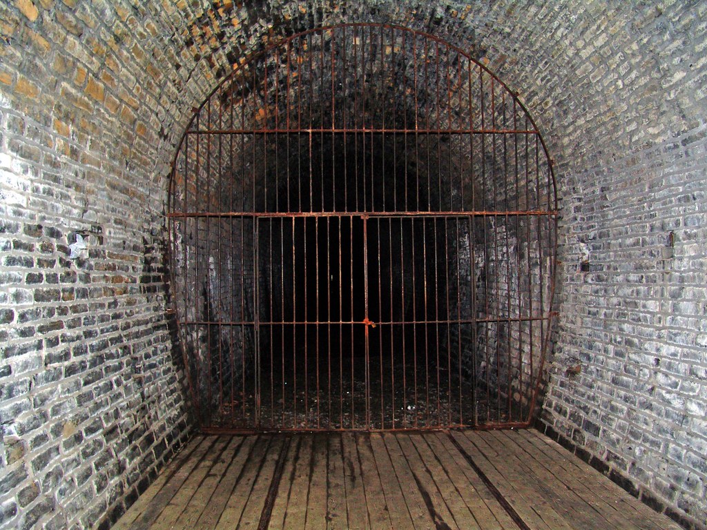
Brockville Tunnel
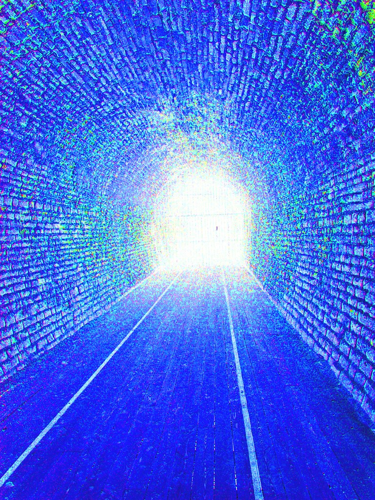
Tunnel Vision

Birds Eye View
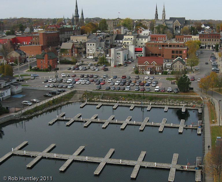
Aerial photograph - Marina at Blockhouse Island, Brockville, Ontario - Kite Aerial Photography (KAP)
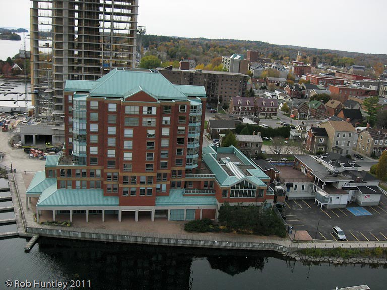
Aerial photograph - The Boardwalk condominium block , the being built Tall Ships Landing waterfront condominiums and the site of the future Maritime Discovery Centre. The Marina at Blockhouse Island, Brockville, Ontario - Kite Aerial Photography (KAP)

Aerial photograph straight down abstract view of the entrance roadway on Blockhouse Island, Brockville, Ontario - Kite Aerial Photography (KAP)

Aerial photograph - The Boardwalk condominium block , the being built Tall Ships Landing waterfront condominiums and the site of the future Maritime Discovery Centre. Blockhouse Island, Brockville, Ontario - Kite Aerial Photography (KAP)
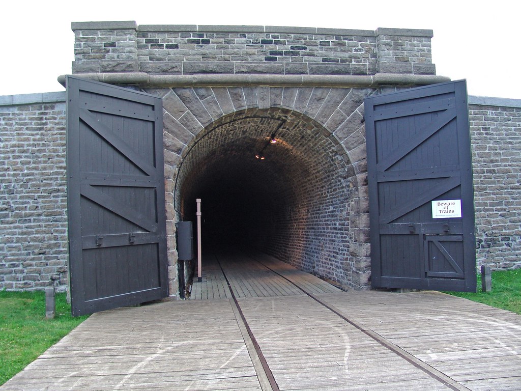
Brockville Railway Tunnel
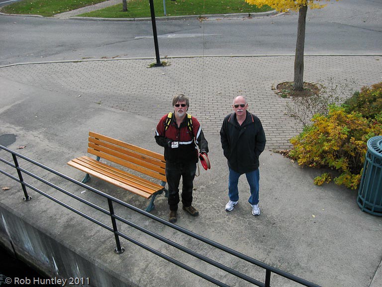
Aerial view of Rob and Ted, Blockhouse Island, Brockville, Ontario - Kite Aerial Photography (KAP)
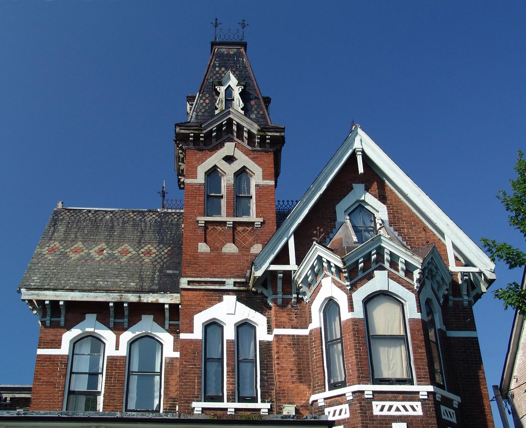
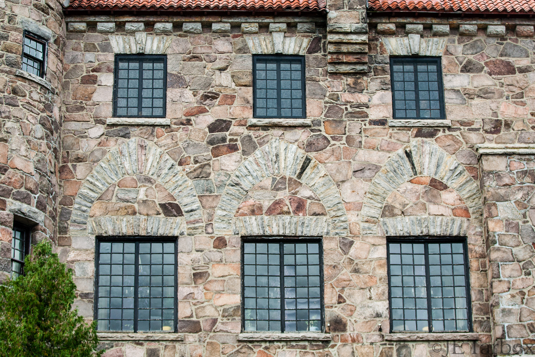
Brockville Victorian

Castles, Ships and Sunsets in the 1000 Islands this evening. #boating

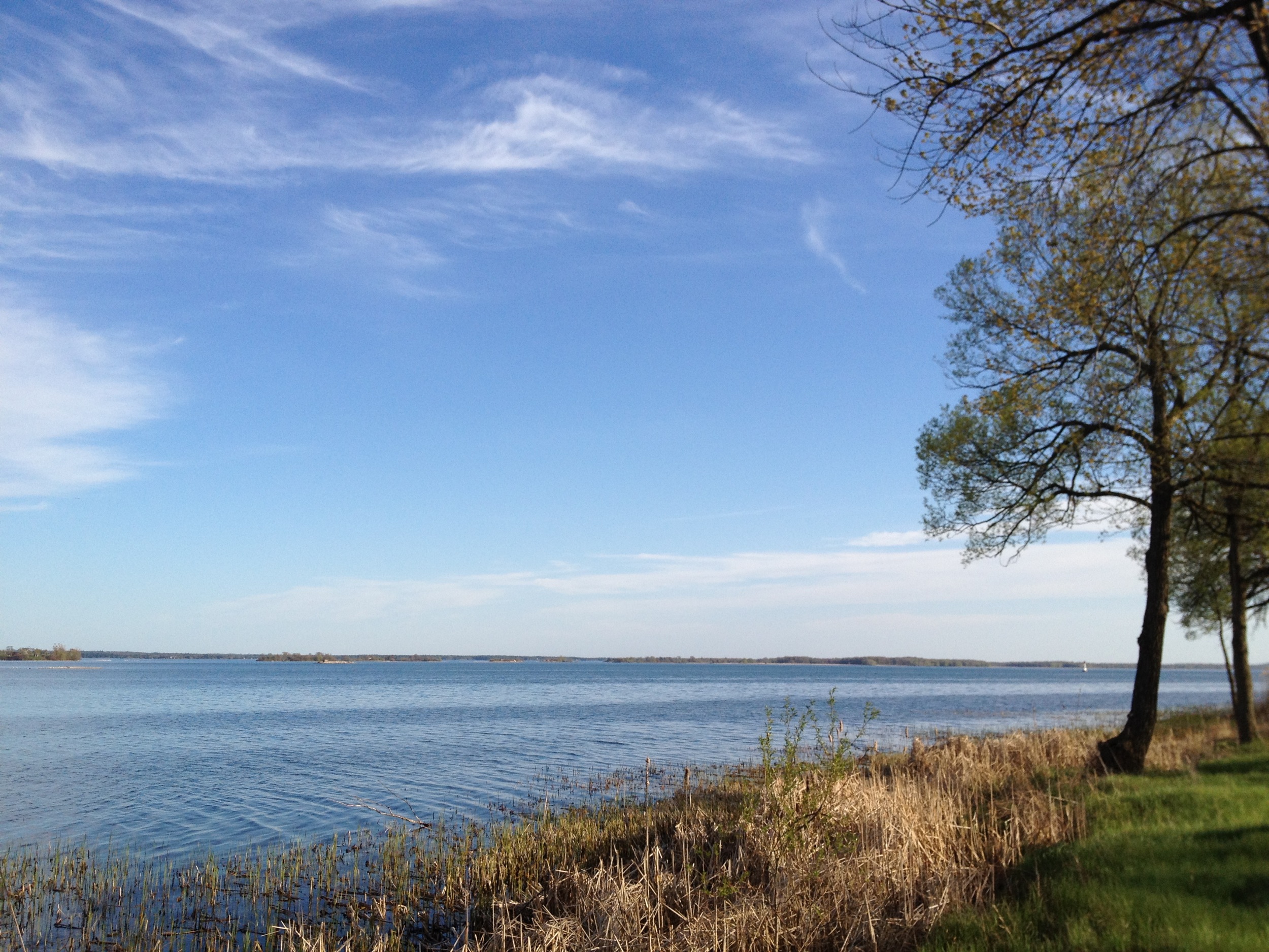
Good morning 1000 Islands.

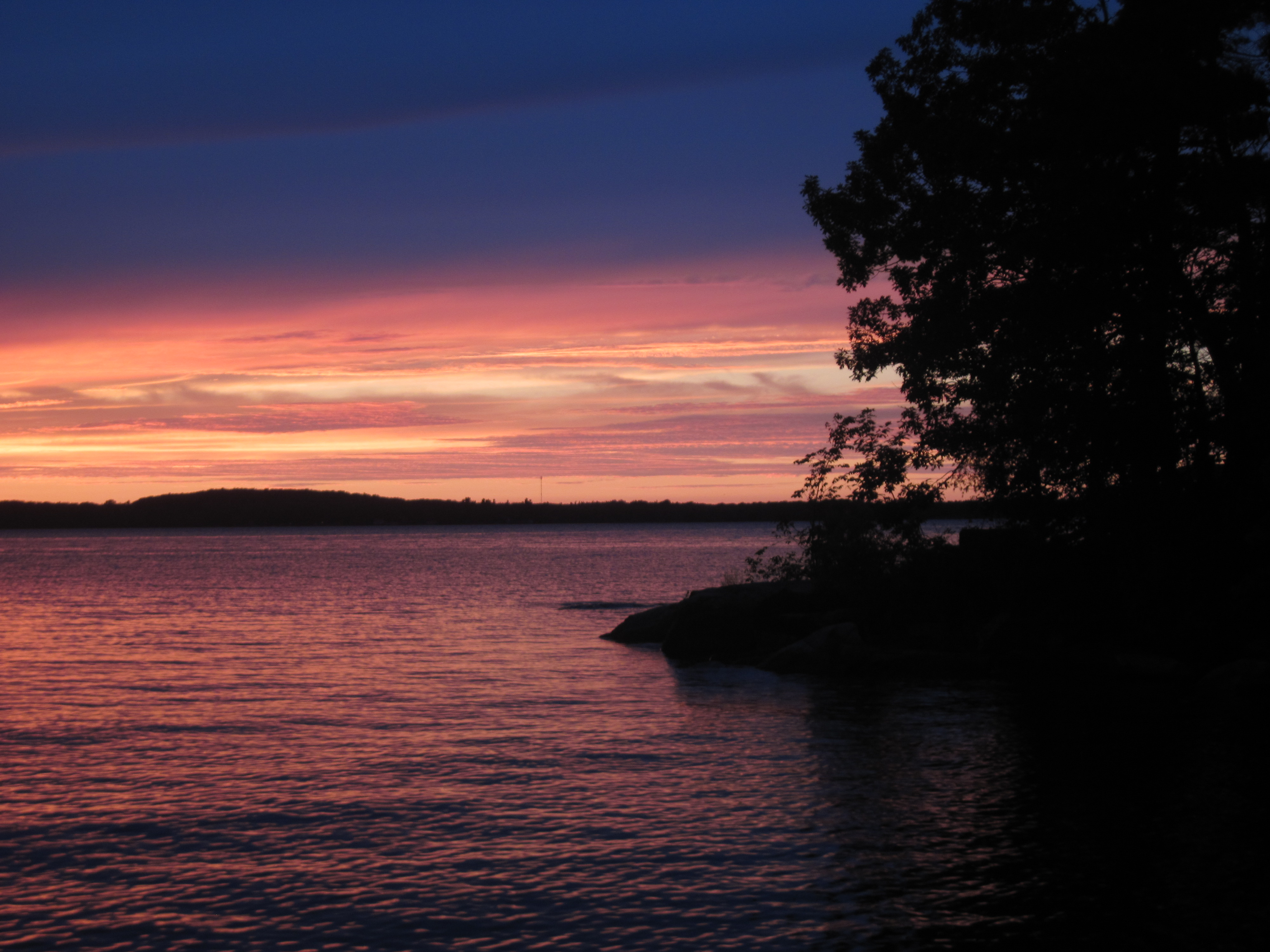
The end of an amazing Spring day in the 1000 Islands.

Stormy sunrise over one of our famous 1000 Islands Castles this morning.
20150701-IMG_3933_HDR.jpg

1000 Islands #sunset - could it be that Spring has arrived? #boating #river #colors #discoverON

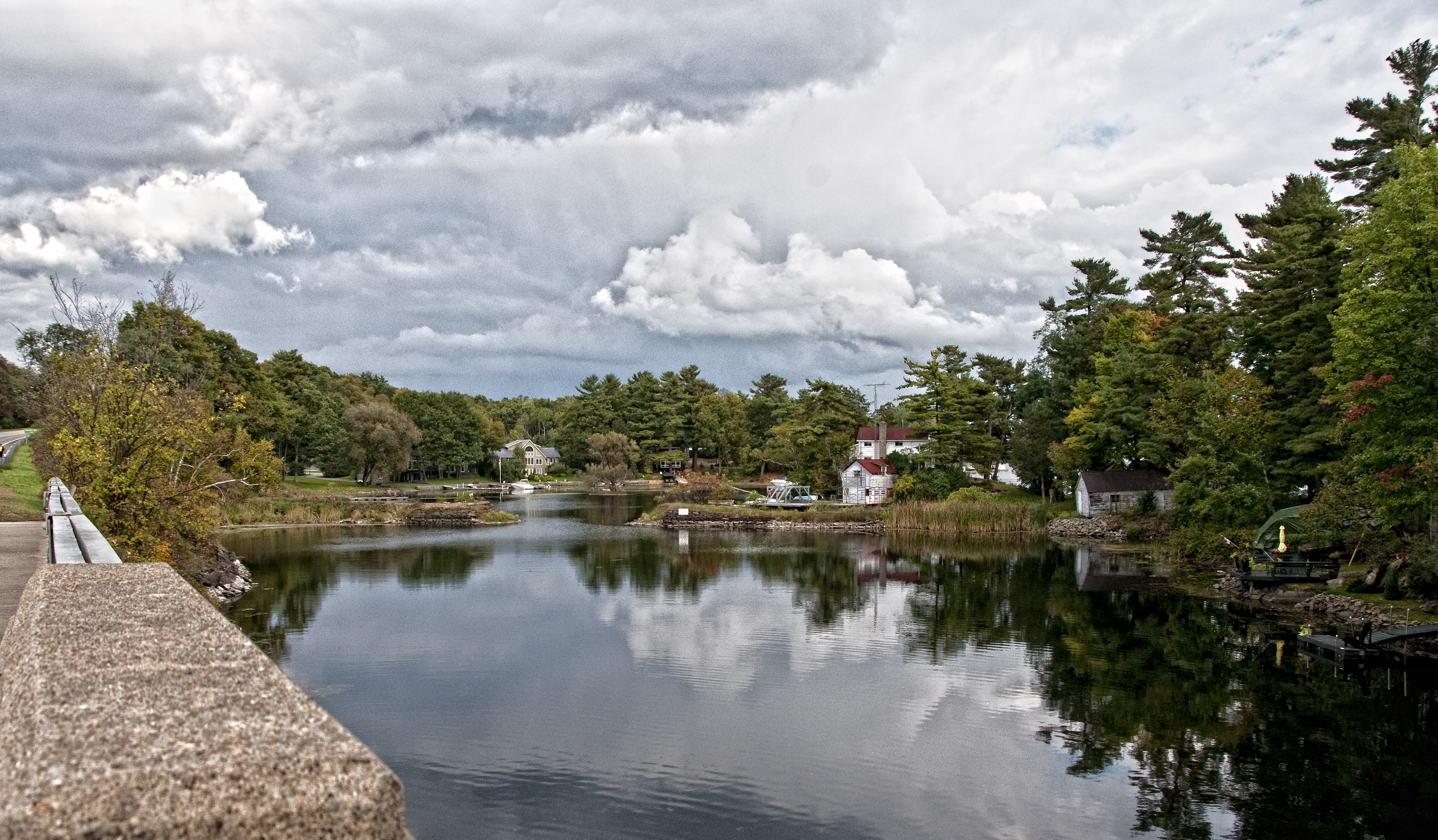
Shoreline walk on beautiful Fall day in the 1000 Islands
Camera Roll-2691
Kring Fire Sky (7)

B&W morning in the 1000 Islands, wondering what the weekend will bring for the River?
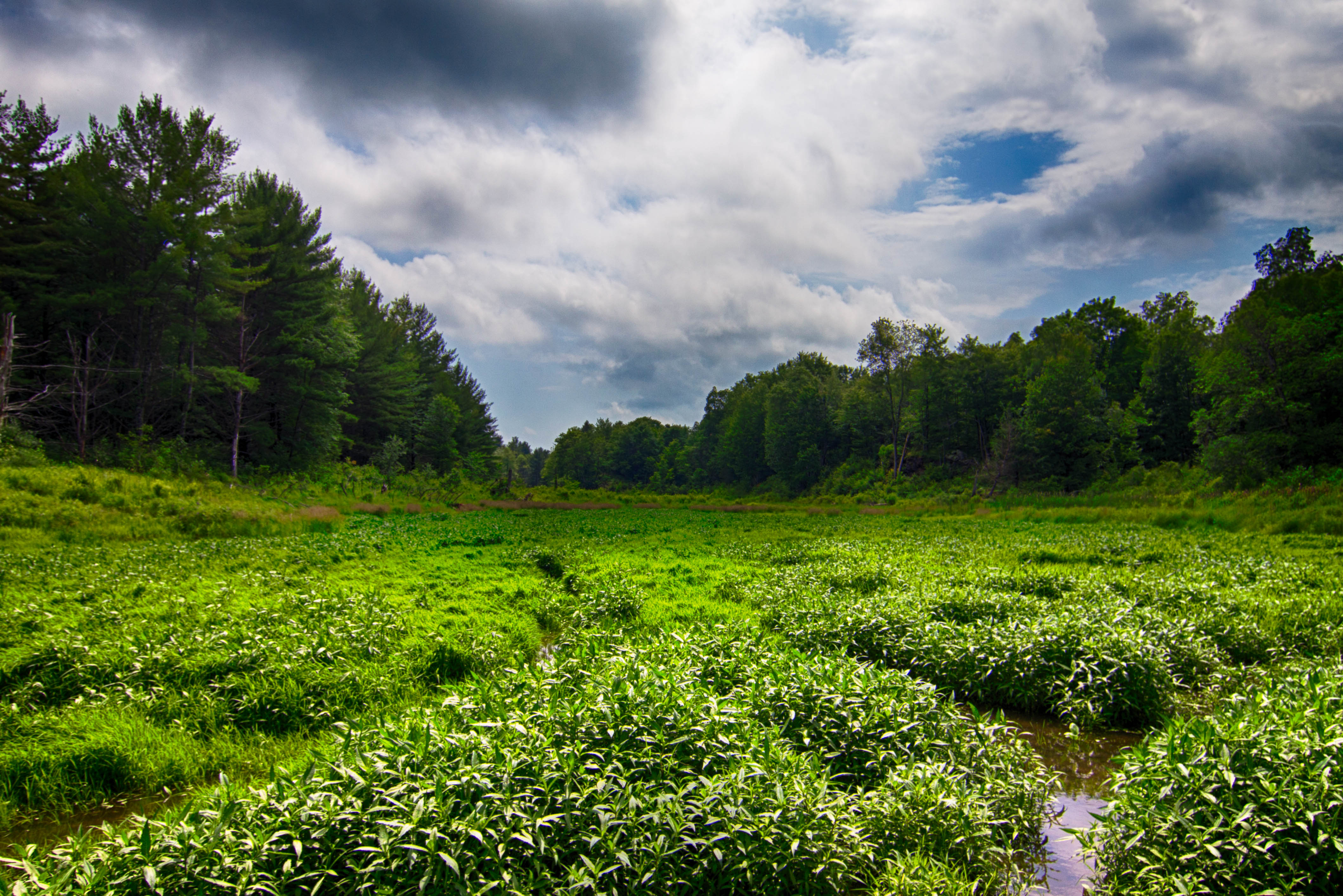
Jones Creek
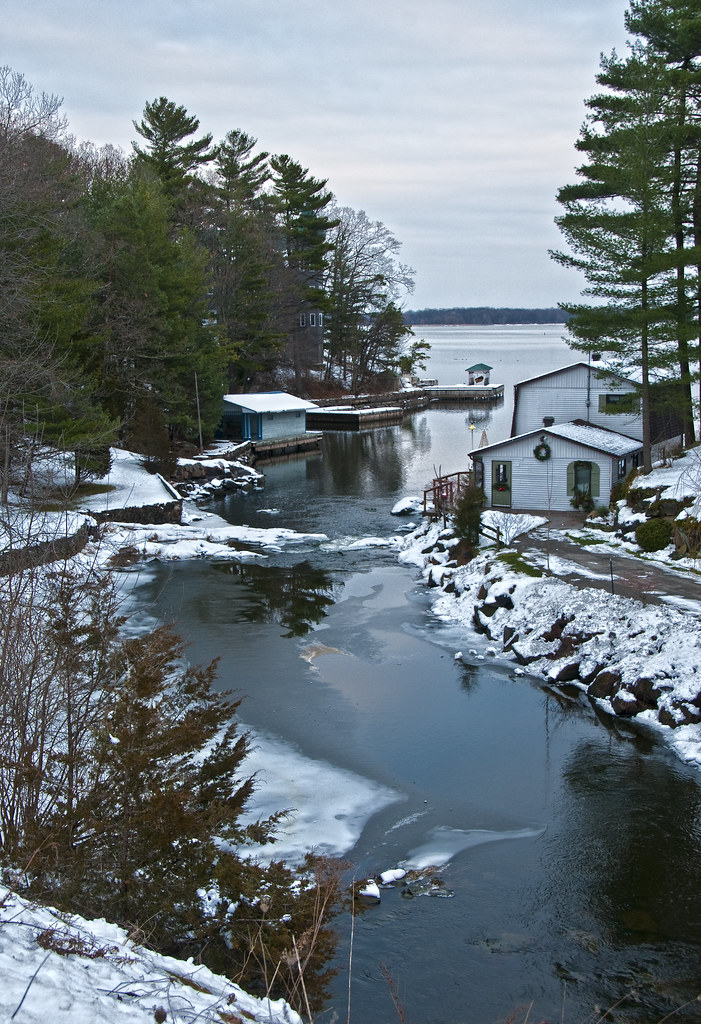
Winter at LaRue Mills

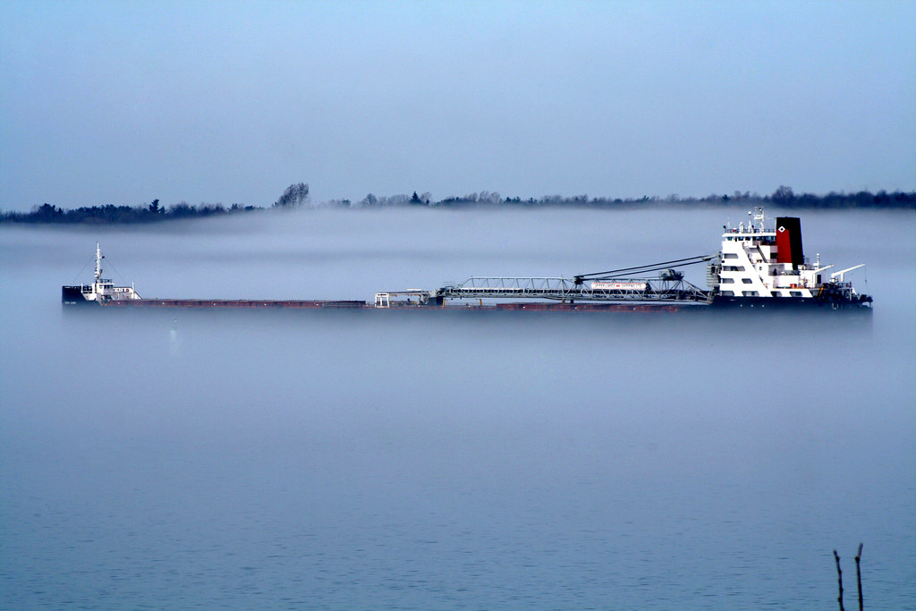
Grey Day on the River

Sunrise over a very frozen 1000 Islands this morning, looks like a huge skating rink. @ontariotravel @1000islandscan

New Years Eve #sunset in the #1000islands, wishing everyone an amazing 2014. #water #reflection #ice

Walking in the woods, sneak peek of the River through the trees.

Sunset at Crossover Island and @LakerCaptain with his new girl.

Spring melt is taking too long, so might as well go find some more real Winter. #roadtrip #snow #skiing

1000 Islands Reflections. Another beautiful day on the River.

Baie St Paul passing Jones Creek, 1000 Islands this morning.
Camera Roll-2687
Topographic Map of Hammond, NY, USA
Find elevation by address:

Places in Hammond, NY, USA:
58 Megan Ln, Redwood, NY, USA
73 Schermerhorn Landing Rd, Hammond, NY, USA
18 Phillips Lane Rd, Hammond, NY, USA
Places near Hammond, NY, USA:
1999 County Rte 6
Hammond
4 Church St, Alexandria Bay, NY, USA
County Rd 3, Hammond, NY, USA
18 Phillips Lane Rd, Hammond, NY, USA
79 Turner Rd, Hammond, NY, USA
73 Schermerhorn Landing Rd, Hammond, NY, USA
88 Duck Cove Rd
Rossie
Spies Rd, Redwood, NY, USA
58 Megan Ln, Redwood, NY, USA
Redwood
Kring Point State Park, Alexandria Bay, NY, USA
Barnes Settlement Road
1436 County Rd 2
Kerry Point Rd, Mallorytown, ON K0E 1R0, Canada
70 Kerry Point Rd
Alexandria
Little Lehigh, Alexandria Bay, NY, USA
47401 Dingman Point Rd
Recent Searches:
- Elevation of Tenjo, Cundinamarca, Colombia
- Elevation of Côte-des-Neiges, Montreal, QC H4A 3J6, Canada
- Elevation of Bobcat Dr, Helena, MT, USA
- Elevation of Zu den Ihlowbergen, Althüttendorf, Germany
- Elevation of Badaber, Peshawar, Khyber Pakhtunkhwa, Pakistan
- Elevation of SE Heron Loop, Lincoln City, OR, USA
- Elevation of Slanický ostrov, 01 Námestovo, Slovakia
- Elevation of Spaceport America, Co Rd A, Truth or Consequences, NM, USA
- Elevation of Warwick, RI, USA
- Elevation of Fern Rd, Whitmore, CA, USA