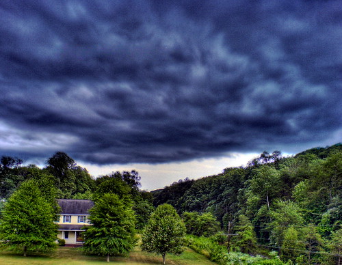
Elevation of Hamlin, WV, USA
Location: United States > West Virginia > Lincoln County > Carroll >
Longitude: -82.102915
Latitude: 38.2787019
Elevation: 199m / 653feet
Barometric Pressure: 99KPa
Related Photos:
Topographic Map of Hamlin, WV, USA
Find elevation by address:

Places near Hamlin, WV, USA:
Carroll
145 Indian Valley Rd
Sheridan
Lincoln County
Branchland
8 Youth Cp, Branchland, WV, USA
Griffithsville
Oakwood Ave, Griffithsville, WV, USA
Salt Rock
Calvary Mtn, Spurlockville, WV, USA
Curry
Jefferson
Milton
91 Mesa Manor Dr, Hurricane, WV, USA
63 Sams Fork Rd
Duval
Spurlockville
2762 Buff Creek Rd
Hurricane
Hurricane, WV, USA
Recent Searches:
- Elevation of Lampiasi St, Sarasota, FL, USA
- Elevation of Elwyn Dr, Roanoke Rapids, NC, USA
- Elevation of Congressional Dr, Stevensville, MD, USA
- Elevation of Bellview Rd, McLean, VA, USA
- Elevation of Stage Island Rd, Chatham, MA, USA
- Elevation of Shibuya Scramble Crossing, 21 Udagawacho, Shibuya City, Tokyo -, Japan
- Elevation of Jadagoniai, Kaunas District Municipality, Lithuania
- Elevation of Pagonija rock, Kranto 7-oji g. 8"N, Kaunas, Lithuania
- Elevation of Co Rd 87, Jamestown, CO, USA
- Elevation of Tenjo, Cundinamarca, Colombia


