Elevation of Hamirpur, Himachal Pradesh, India
Location: India > Himachal Pradesh > Hamirpur >
Longitude: 76.5213092
Latitude: 31.6861745
Elevation: 775m / 2543feet
Barometric Pressure: 92KPa
Elevation Map:
Satellite Map:
Related Photos:

Golden Pine

My home

My home

#YaarDaByah super Fun

Vaggy vw Green. Feel the best

My home

My home
My home

Its sunrise.....

After rain magic

Backyard Rose
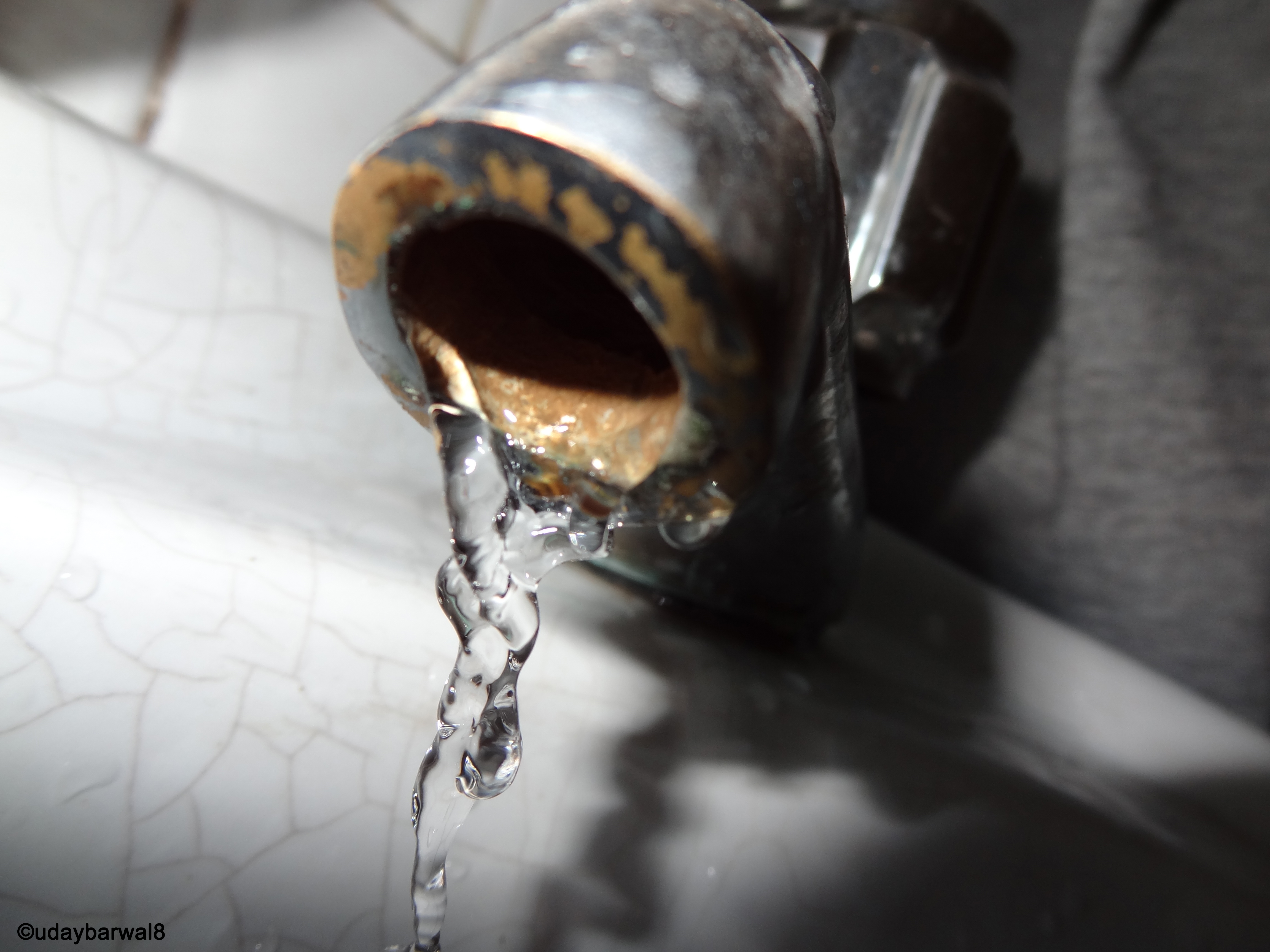
save water !!!

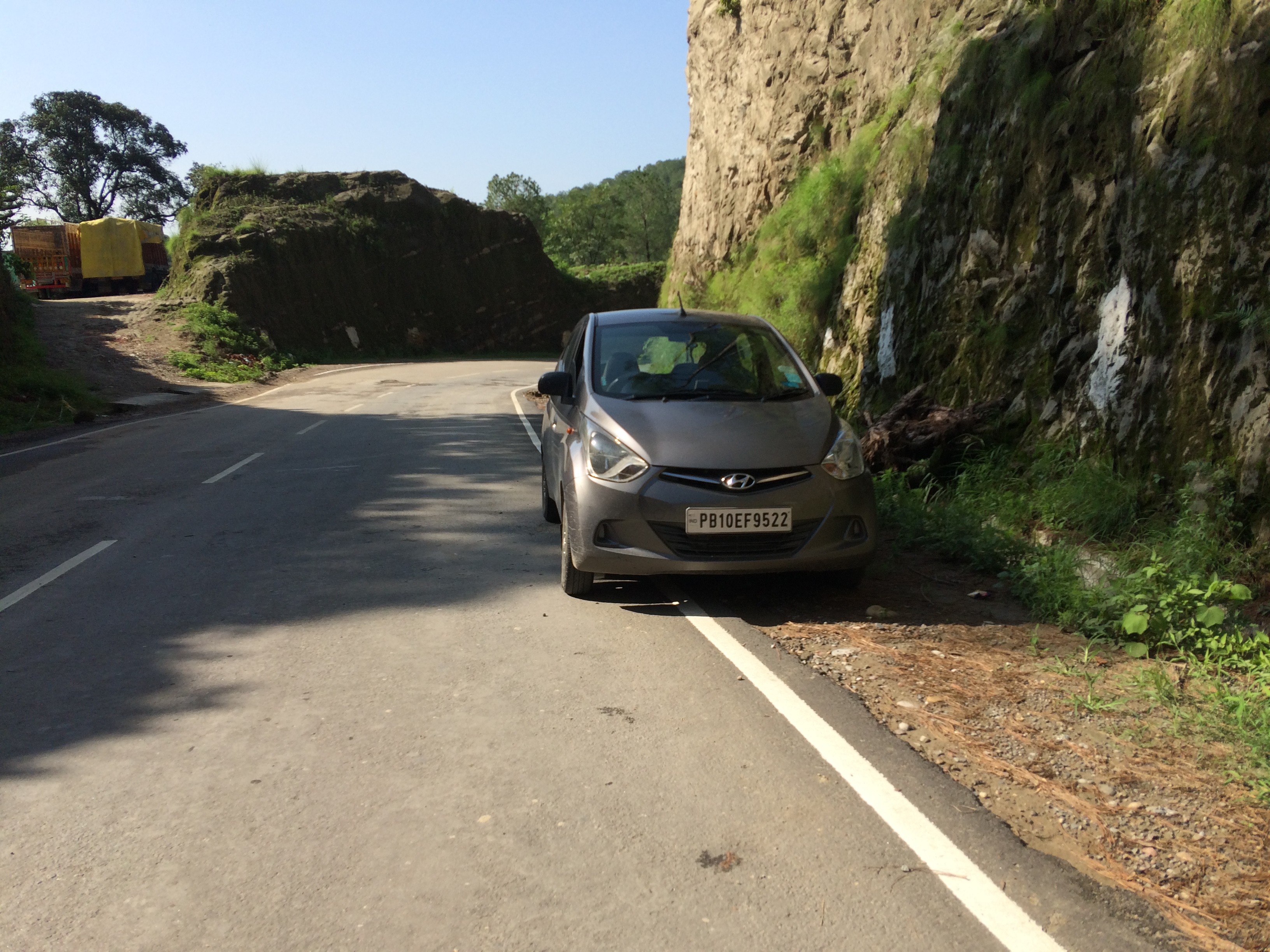
The abandoned one!

Eating out
Topographic Map of Hamirpur, Himachal Pradesh, India
Find elevation by address:

Places in Hamirpur, Himachal Pradesh, India:
Places near Hamirpur, Himachal Pradesh, India:
Kohta
Police Station Hamirpur
Hamirpur
Nit Hamirpur
Dhoban
Rumera
Bangana
Nadaun
Bhakra Dam
Dhamandri
Jangal Mehduda Bhakhra
Rewalsar
Una
Una
Nangal
Sullah
Naina Devi
Bilaspur
Haroli
Harinagar
Recent Searches:
- Elevation of Fern Rd, Whitmore, CA, USA
- Elevation of 62 Abbey St, Marshfield, MA, USA
- Elevation of Fernwood, Bradenton, FL, USA
- Elevation of Felindre, Swansea SA5 7LU, UK
- Elevation of Leyte Industrial Development Estate, Isabel, Leyte, Philippines
- Elevation of W Granada St, Tampa, FL, USA
- Elevation of Pykes Down, Ivybridge PL21 0BY, UK
- Elevation of Jalan Senandin, Lutong, Miri, Sarawak, Malaysia
- Elevation of Bilohirs'k
- Elevation of 30 Oak Lawn Dr, Barkhamsted, CT, USA