Elevation of Hamer, ID, USA
Location: United States > Idaho > Jefferson County >
Longitude: -112.20609
Latitude: 43.9271309
Elevation: 1463m / 4800feet
Barometric Pressure: 85KPa
Elevation Map:
Satellite Map:
Related Photos:

Choose the Right

White-eyed Vireo view #2, Camas NWR, ID

Great-horned Owl

Morning Glory

Market Lake Sunrise
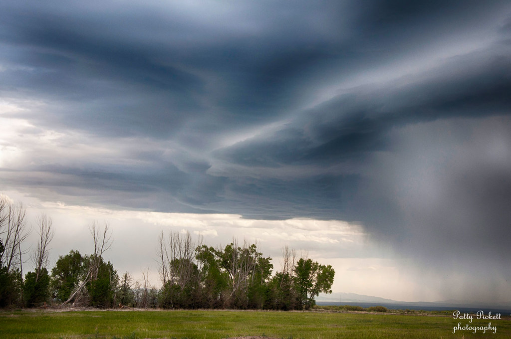
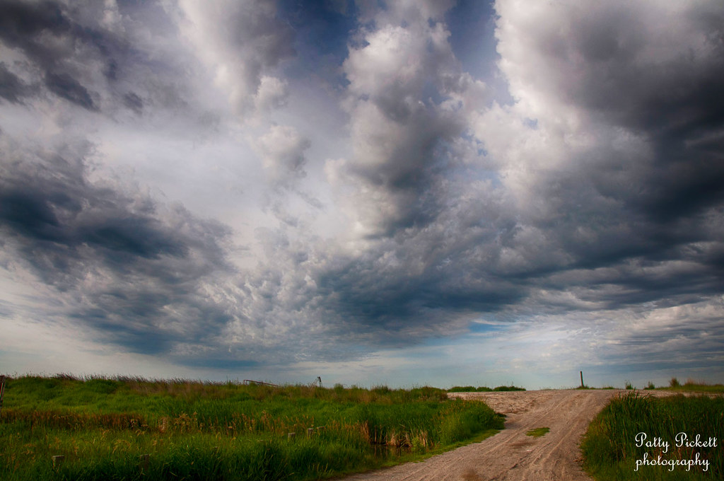
camas skies

Snow Geese in Camas National Wildlife Refuge
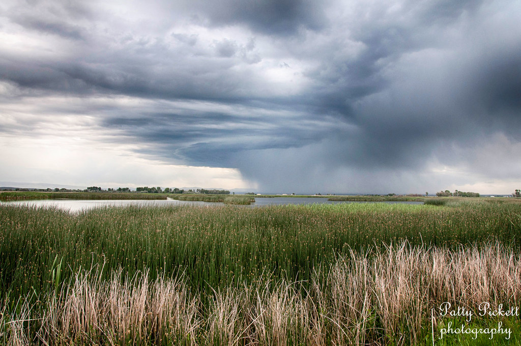
CamasWildlife Management Area
Camas National Wildlife Refuge
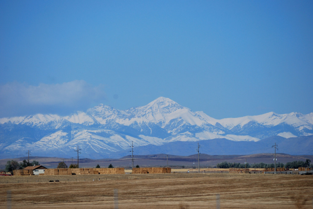
Snowy Mountains

The road to Glacier

FEMALE RED WING BLACKBIRD
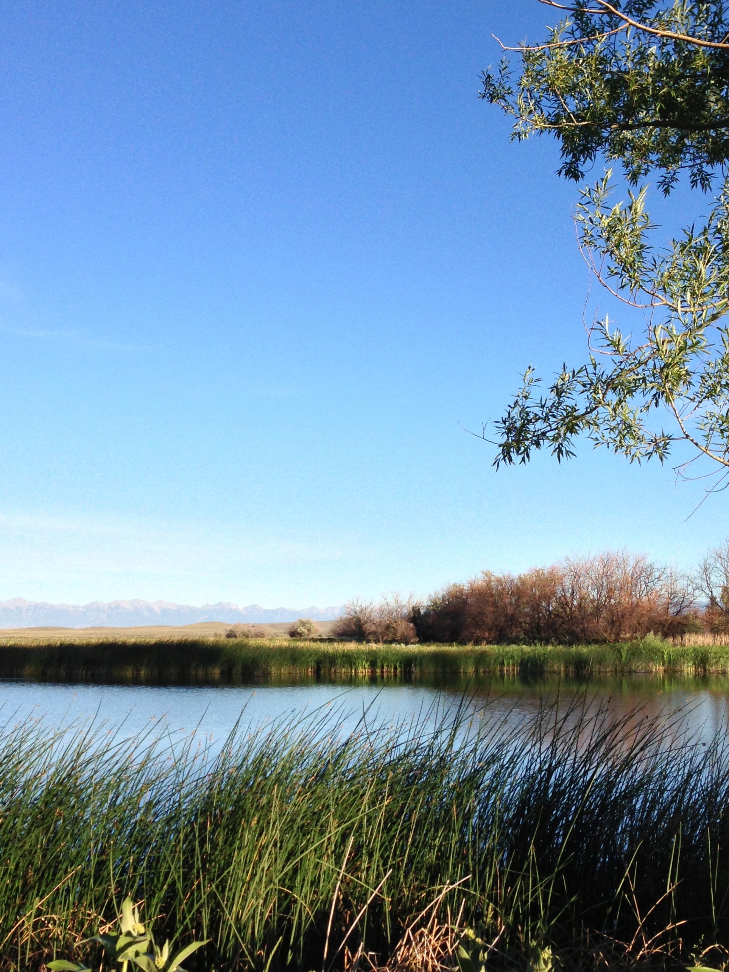
market lake Idaho
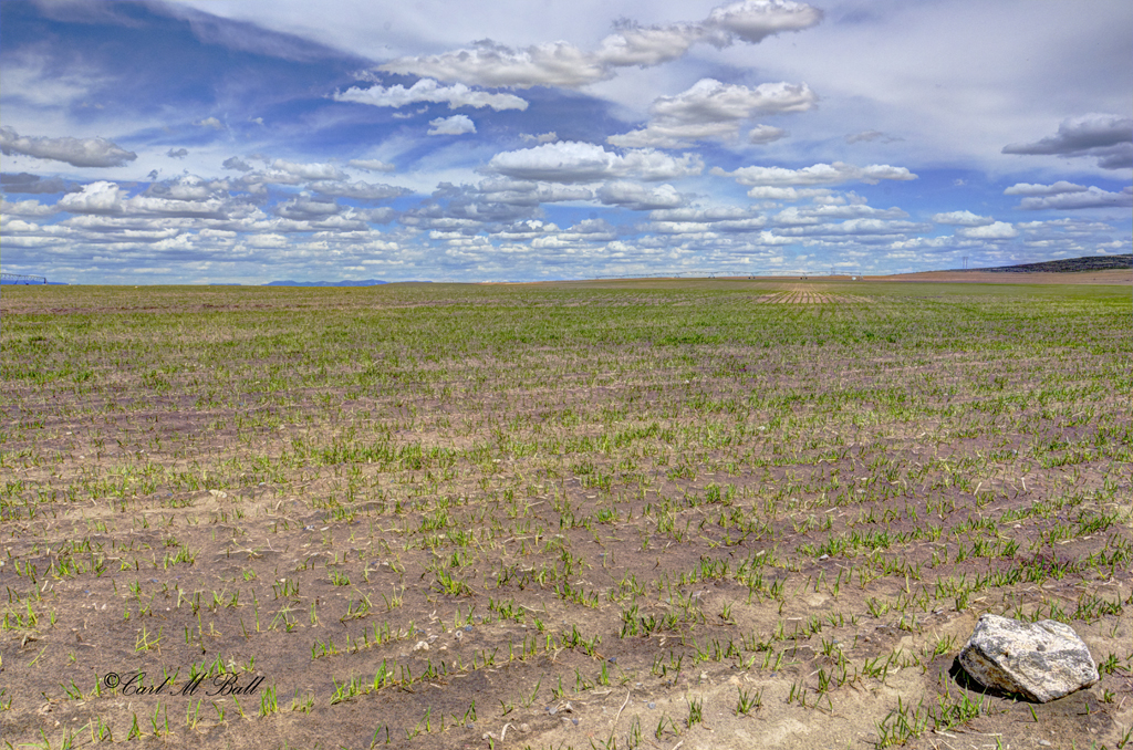
Spring Barley - Clouds_0735-f

A Sagebrush Forest (Part 1)

A Sagebrush Forest (Part 2)

Harrier Flying Below the Radar
Topographic Map of Hamer, ID, USA
Find elevation by address:

Places in Hamer, ID, USA:
Places near Hamer, ID, USA:
N E, Hamer, ID, USA
Jefferson County
Terreton
E N, Terreton, ID, USA
Dubois
Mud Lake
Menan
E Menan Lorenzo Hwy, Menan, ID, USA
Clark County
E N, Rigby, ID, USA
Plano Rd, Rexburg, ID, USA
Taylor Ln, Rexburg, ID, USA
N 15th E, Idaho Falls, ID, USA
3452 S 4300 W
N W, Rexburg, ID, USA
61 N E, Rigby, ID, USA
Rigby
Lorenzo
1695 E 500 N
4074 450 N
Recent Searches:
- Elevation of Elwyn Dr, Roanoke Rapids, NC, USA
- Elevation of Congressional Dr, Stevensville, MD, USA
- Elevation of Bellview Rd, McLean, VA, USA
- Elevation of Stage Island Rd, Chatham, MA, USA
- Elevation of Shibuya Scramble Crossing, 21 Udagawacho, Shibuya City, Tokyo -, Japan
- Elevation of Jadagoniai, Kaunas District Municipality, Lithuania
- Elevation of Pagonija rock, Kranto 7-oji g. 8"N, Kaunas, Lithuania
- Elevation of Co Rd 87, Jamestown, CO, USA
- Elevation of Tenjo, Cundinamarca, Colombia
- Elevation of Côte-des-Neiges, Montreal, QC H4A 3J6, Canada