Elevation of Hales Rd, Jonesborough, TN, USA
Location: United States > Tennessee > Washington County > Jonesborough >
Longitude: -82.468938
Latitude: 36.31841
Elevation: 520m / 1706feet
Barometric Pressure: 95KPa
Elevation Map:
Satellite Map:
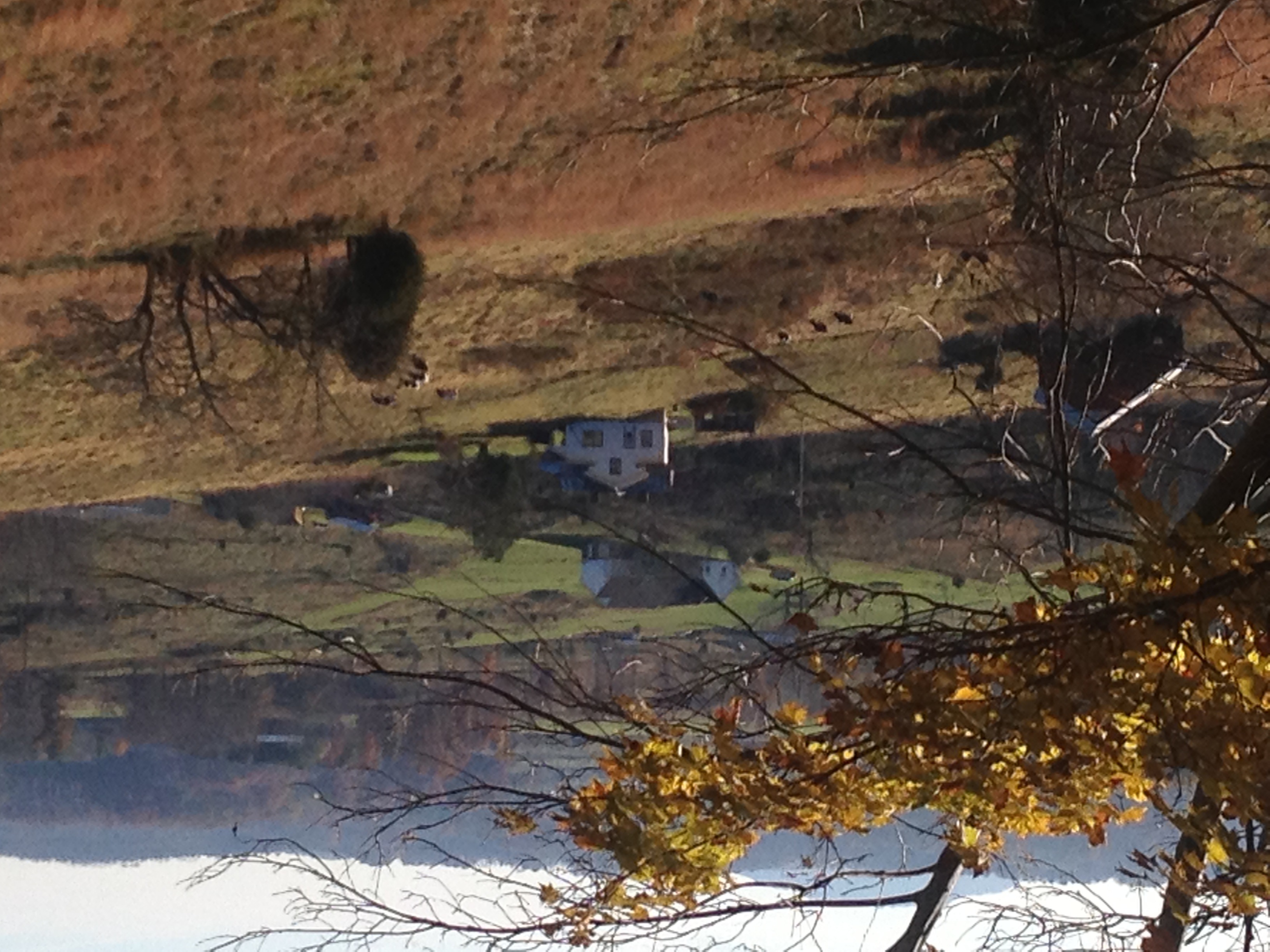
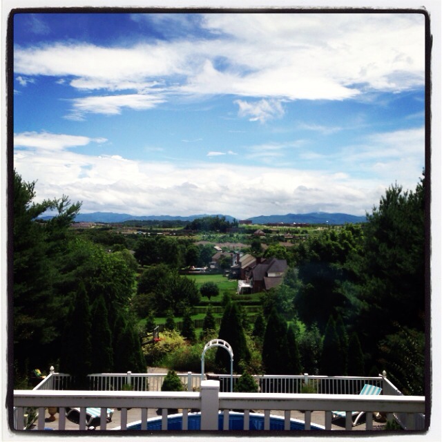
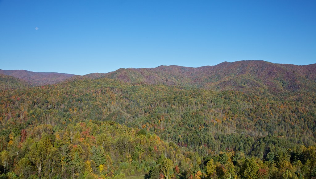
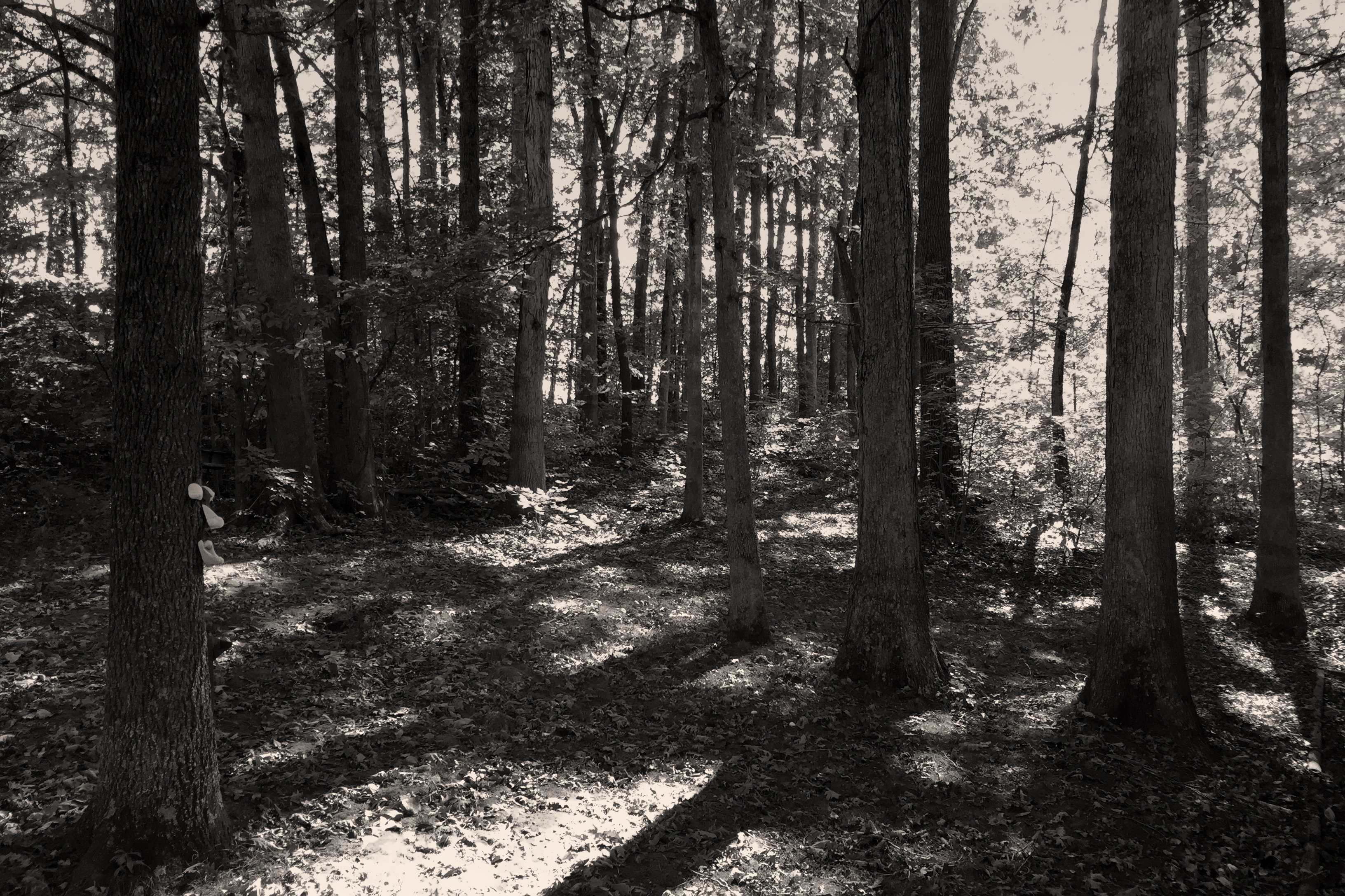
Related Photos:

Watching the Game

My view - what are you looking at right now?

What Is Your Focus

Pinnacle Mountain Fire Tower HDR Panorama

203 walking down path to parking lot

Buffalo Pano

Hale's Grocery
View of Gray, TN

Parents view.

First Presbyterian Church - Jonesborough, TN

195 Trail to top of hill at rest stop in Tennessee

201 Claire on the trail

Pinnacle Tower HDR Panorama 2
Great view

First Presbyterian Church - Jonesborough, TN

May Isolation Theme Entry

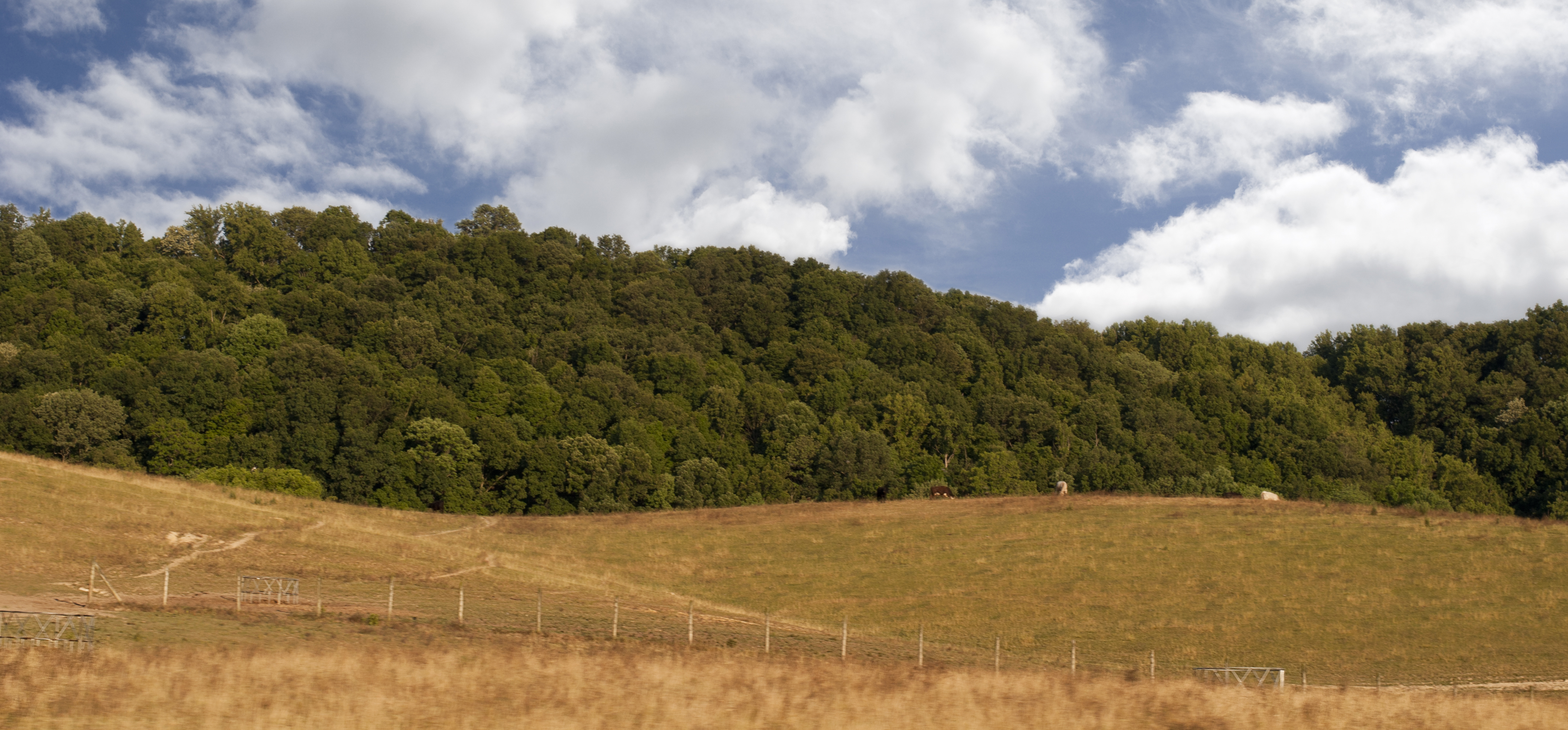
Buffalo Mountain

197 On the trail to the top

View from the Front Porch
199 View top of the trail

2013.12.27 125K Views
A face among the Fall
Luscious Landscape Layers

WP_20151120_002 (2)

WP_20141124_040.JPG
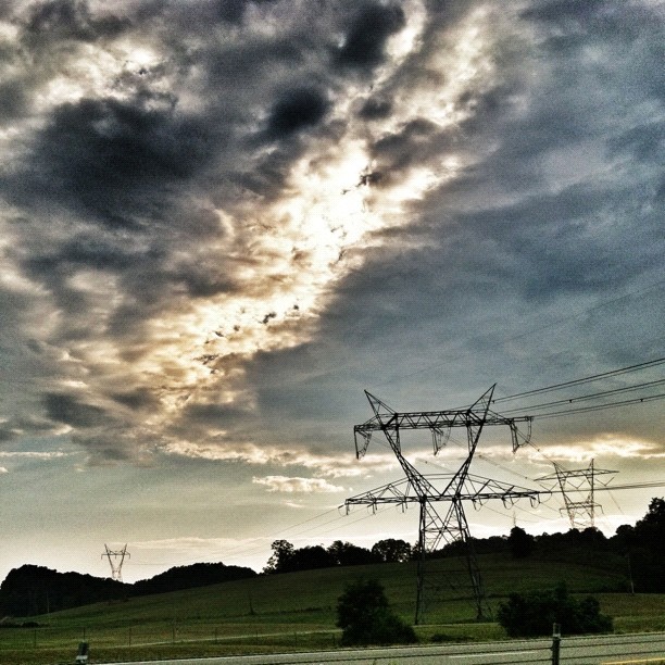
Power in the clouds. #johnsoncity #kingsport #cloudporn #skyporn #instaclouds #powerlines #landscapes #skylines #instagram #iphonesia #photooftheday #trinity2 #instagood #iphone #iphoneonly #popular #iphonography #iphoneography #instamood #Instadaily #ig

Nolichucky River

#sunset #sunsetlovers #sunsets

IMG_0160.JPG

Pine Oaks Golf Course
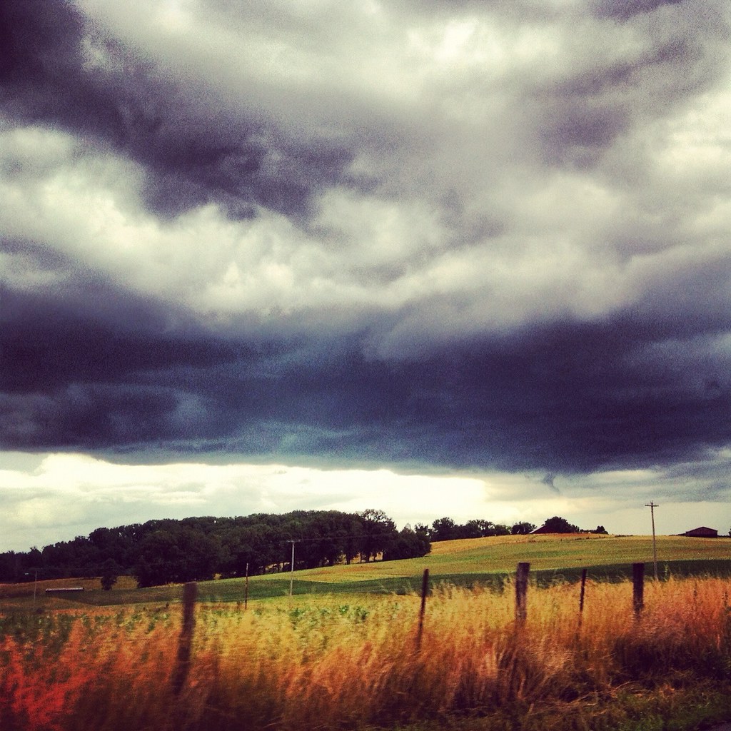
Weather Up Ahead
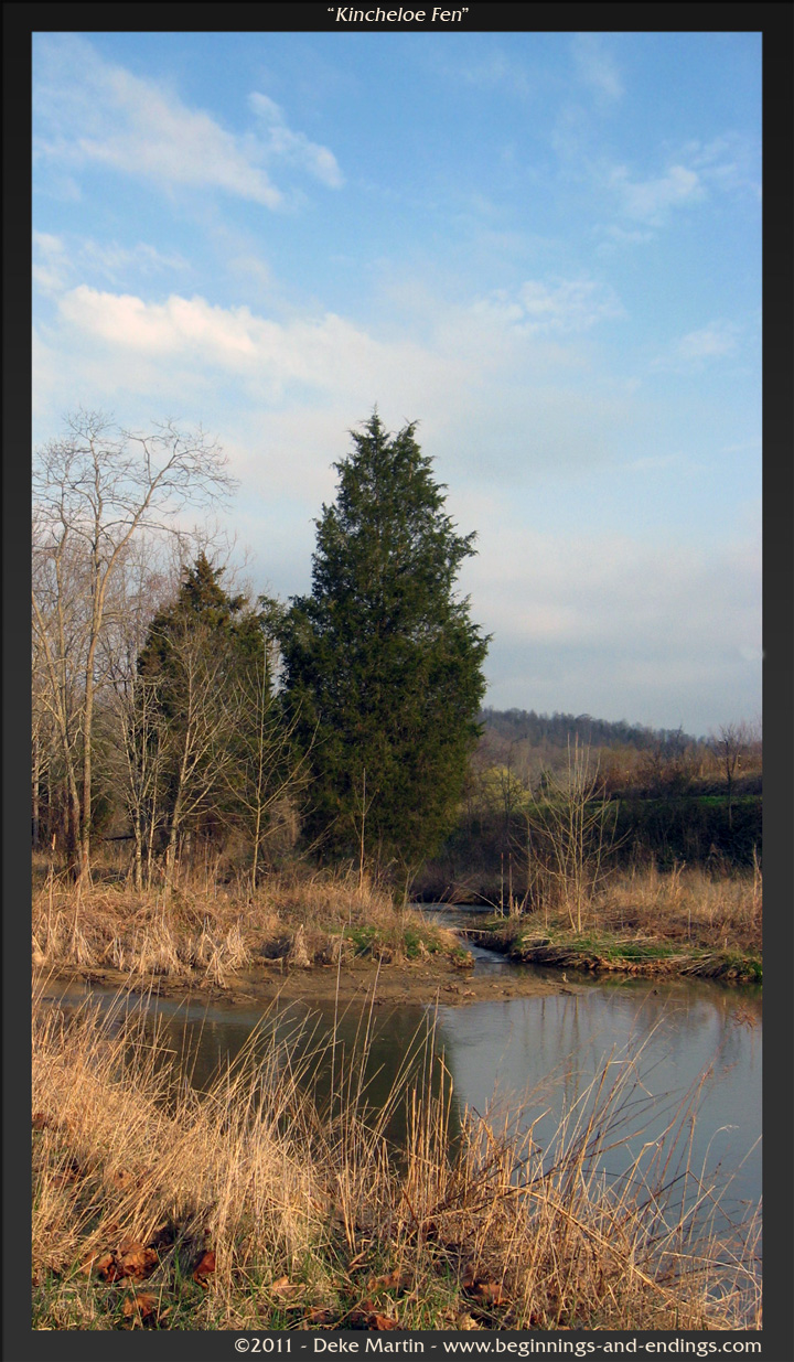
Kincheloe Fen

P1000298.JPG

2008-07-06 - July 4th And Mary Elizabeth & John's Visit (67)

WP_20141123_063.JPG

IMG_1583.JPG

Wetenschap Heuvel
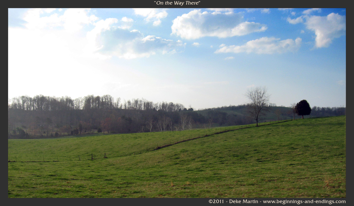
On the Way There
Topographic Map of Hales Rd, Jonesborough, TN, USA
Find elevation by address:

Places near Hales Rd, Jonesborough, TN, USA:
Tavern Hill Road
686 Tavern Hill Rd
939 Hairetown Rd
Jonesborough
Hairetown Road
800 Haws Dr
139 Bob Clark Rd
199 Bob Clark Rd
611 Spring St
103 Willow Creek Lane
3744 W Market St
410 Highland Church Rd
Mill Springs Road
3005 Moss Creek Dr
Indian Ridge Rd, Johnson City, TN, USA
1120 Mill Springs Rd
1140 Mill Springs Rd
147 Simmons Ridge
251 New Hope Rd
W Walnut St, Johnson City, TN, USA
Recent Searches:
- Elevation of Côte-des-Neiges, Montreal, QC H4A 3J6, Canada
- Elevation of Bobcat Dr, Helena, MT, USA
- Elevation of Zu den Ihlowbergen, Althüttendorf, Germany
- Elevation of Badaber, Peshawar, Khyber Pakhtunkhwa, Pakistan
- Elevation of SE Heron Loop, Lincoln City, OR, USA
- Elevation of Slanický ostrov, 01 Námestovo, Slovakia
- Elevation of Spaceport America, Co Rd A, Truth or Consequences, NM, USA
- Elevation of Warwick, RI, USA
- Elevation of Fern Rd, Whitmore, CA, USA
- Elevation of 62 Abbey St, Marshfield, MA, USA