Elevation of Haikou Meilan International Airport, Meilan, Haikou, Hainan, China
Location: China > Hainan > Haikou > Meilan District >
Longitude: 110.462132
Latitude: 19.9385399
Elevation: 21m / 69feet
Barometric Pressure: 101KPa
Elevation Map:
Satellite Map:
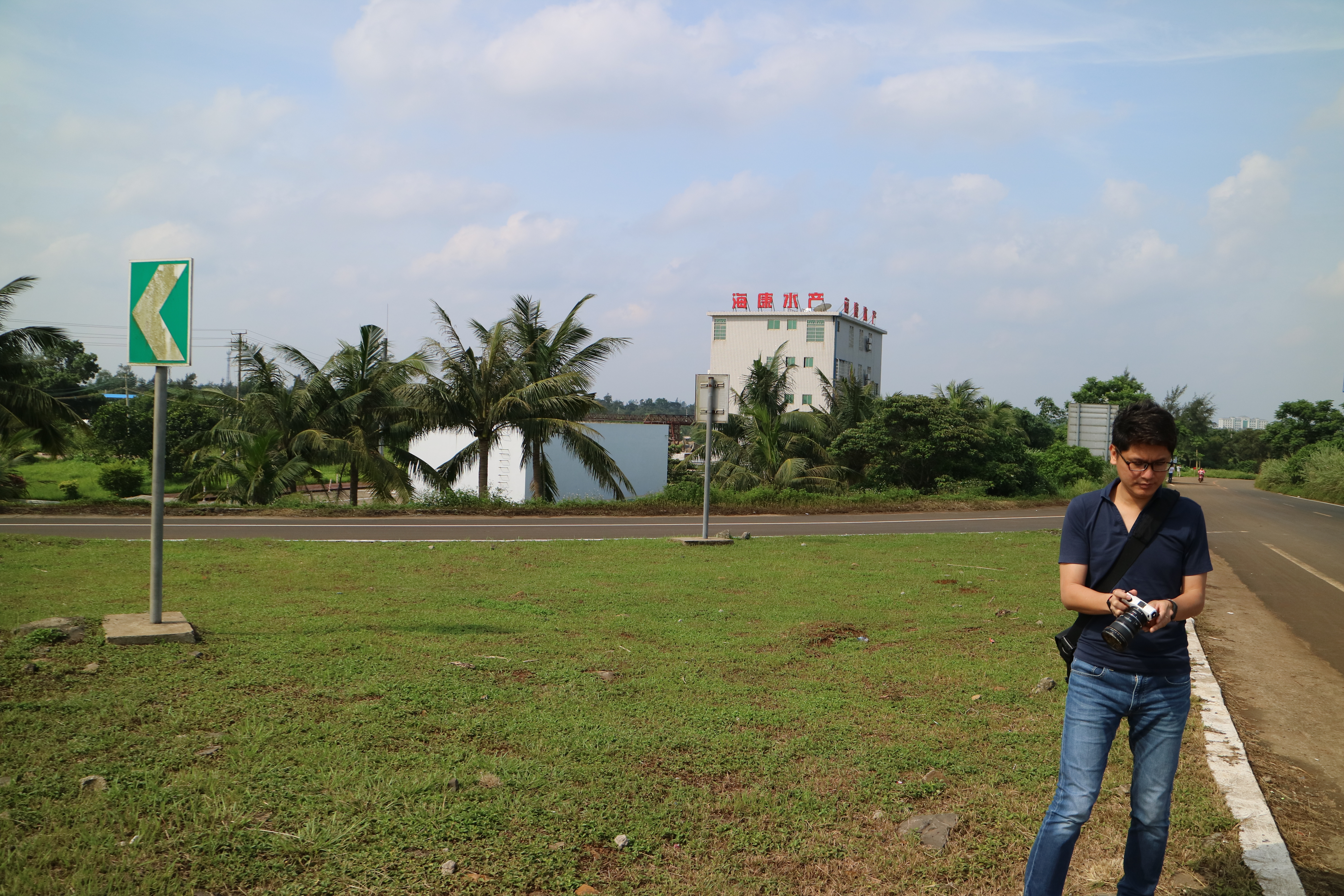
Related Photos:

haikou_6_277

haikou_6_239

upload

IMG_0680

IMG_0651

IMG_0673

haikou_6_271

2017-05-17-14h54m52

曲口漁船

曲口漁船

曲口漁船

2017-05-16-11h20m49

2017-05-16-11h30m18
2017-05-16-11h30m34

2017-05-16-11h39m00

2017-05-16-12h25m49

2017-05-16-14h16m12

2017-05-16-14h32m04

2017-05-16-15h17m54

2017-05-16-15h24m45
2017-05-16-15h25m07

2017-05-16-15h41m22
2017-05-16-15h56m24

2017-05-16-16h38m31

2017-05-16-16h39m21
2017-05-17-09h25m17

2017-05-17-09h26m55
2017-05-17-09h26m57
Topographic Map of Haikou Meilan International Airport, Meilan, Haikou, Hainan, China
Find elevation by address:

Places near Haikou Meilan International Airport, Meilan, Haikou, Hainan, China:
Recent Searches:
- Elevation of Kootenai Trail Rd, Bonners Ferry, ID, USA
- Elevation of Hickory Blvd, Bonita Springs, FL, USA
- Elevation of Lalagbene, Bayelsa, Nigeria
- Elevation of Ogbosuware Health Centre, 2WWJ+4PJ, Lalagbene, Bayelsa, Nigeria
- Elevation of Duckhorn Ct, Las Vegas, NV, USA
- Elevation of Garretts Run Rd, Ford City, PA, USA
- Elevation of N WI-55, Freedom, WI, USA
- Elevation map of Hadiya, Ethiopia
- Elevation of Hosaina, Ethiopia
- Elevation of Verde Terrace, North Port, FL, USA