Elevation of Haibei, Qinghai, China
Location: China > Qinghai >
Longitude: 100.900997
Latitude: 36.954413
Elevation: 3103m / 10180feet
Barometric Pressure: 69KPa
Elevation Map:
Satellite Map:
Related Photos:

afar from dunes

qinghai grass III

qinghai grass I

qinghai grass IV

qinghai grass II

2018 單車環青海湖 D07_428 by 雪瓊

2018 單車環青海湖 D07_426 by 雪瓊

2018 單車環青海湖 D07_427 by 雪瓊

2018 單車環青海湖 D07_432 by 雪瓊
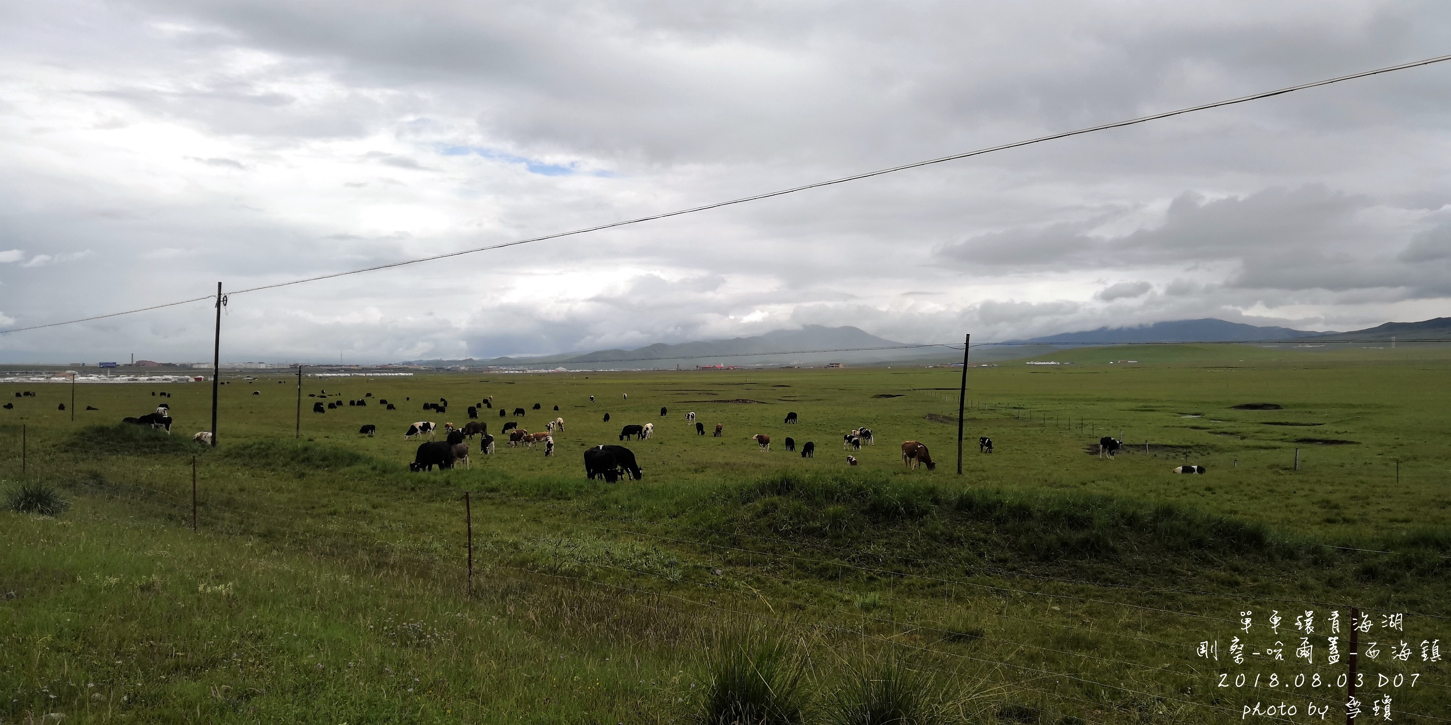
2018 單車環青海湖 D07_429 by 雪瓊
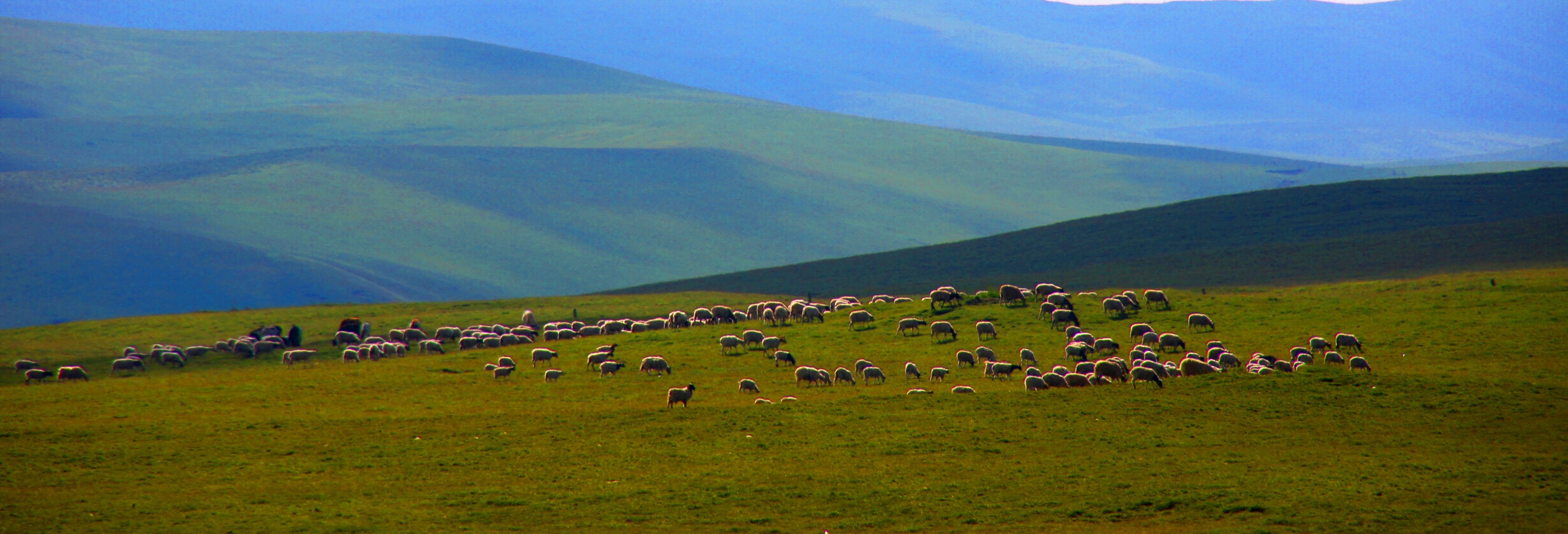
The endless grasslands of Qinghai, China

The endless grasslands of Qinghai

Qinghai landscape

The Mekong River is covered with ice and snow near its headwaters on the Tibetan Plateau in Qinghai Province. From the Tibetan Plateau, the world’s 12th longest river runs through multiple southeast Asian countries, including China, Cambodia, Laos, Myanma

是湖更是海 #qinghaihu #qinghailake

青海初夏-83

青海初夏-82

Kokonor #qinghai #lake #highaltitude #tibetan #plateau #azuresea #mongol #place #mountains #clouds #nature #naturephotography #travel #travelphotography #travelgram #traveller #travelling #photography #photographer #photo #photooftheday #explore #discover

2018 單車環青海湖 D07_342 by 雪瓊

2018 單車環青海湖 D03_268 by 雪瓊

2018 單車環青海湖 D07_366 by 雪瓊
Topographic Map of Haibei, Qinghai, China
Find elevation by address:

Places in Haibei, Qinghai, China:
Places near Haibei, Qinghai, China:
Recent Searches:
- Elevation of Woodland Oak Pl, Thousand Oaks, CA, USA
- Elevation of Brownsdale Rd, Renfrew, PA, USA
- Elevation of Corcoran Ln, Suffolk, VA, USA
- Elevation of Mamala II, Sariaya, Quezon, Philippines
- Elevation of Sarangdanda, Nepal
- Elevation of 7 Waterfall Way, Tomball, TX, USA
- Elevation of SW 57th Ave, Portland, OR, USA
- Elevation of Crocker Dr, Vacaville, CA, USA
- Elevation of Pu Ngaol Community Meeting Hall, HWHM+3X7, Krong Saen Monourom, Cambodia
- Elevation of Royal Ontario Museum, Queens Park, Toronto, ON M5S 2C6, Canada