Elevation of Hai Phong, Haiphong, Vietnam
Location: Vietnam > Haiphong >
Longitude: 106.688084
Latitude: 20.8449115
Elevation: 8m / 26feet
Barometric Pressure: 101KPa
Elevation Map:
Satellite Map:
Related Photos:

Meat chopping

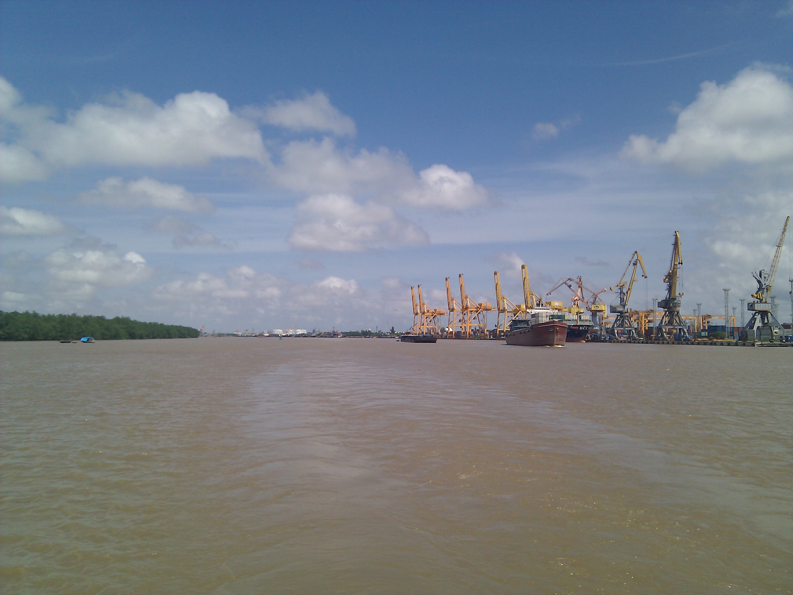
Vietnam - Haiphong - The harbour track

Vietnam - Haiphong - The station building
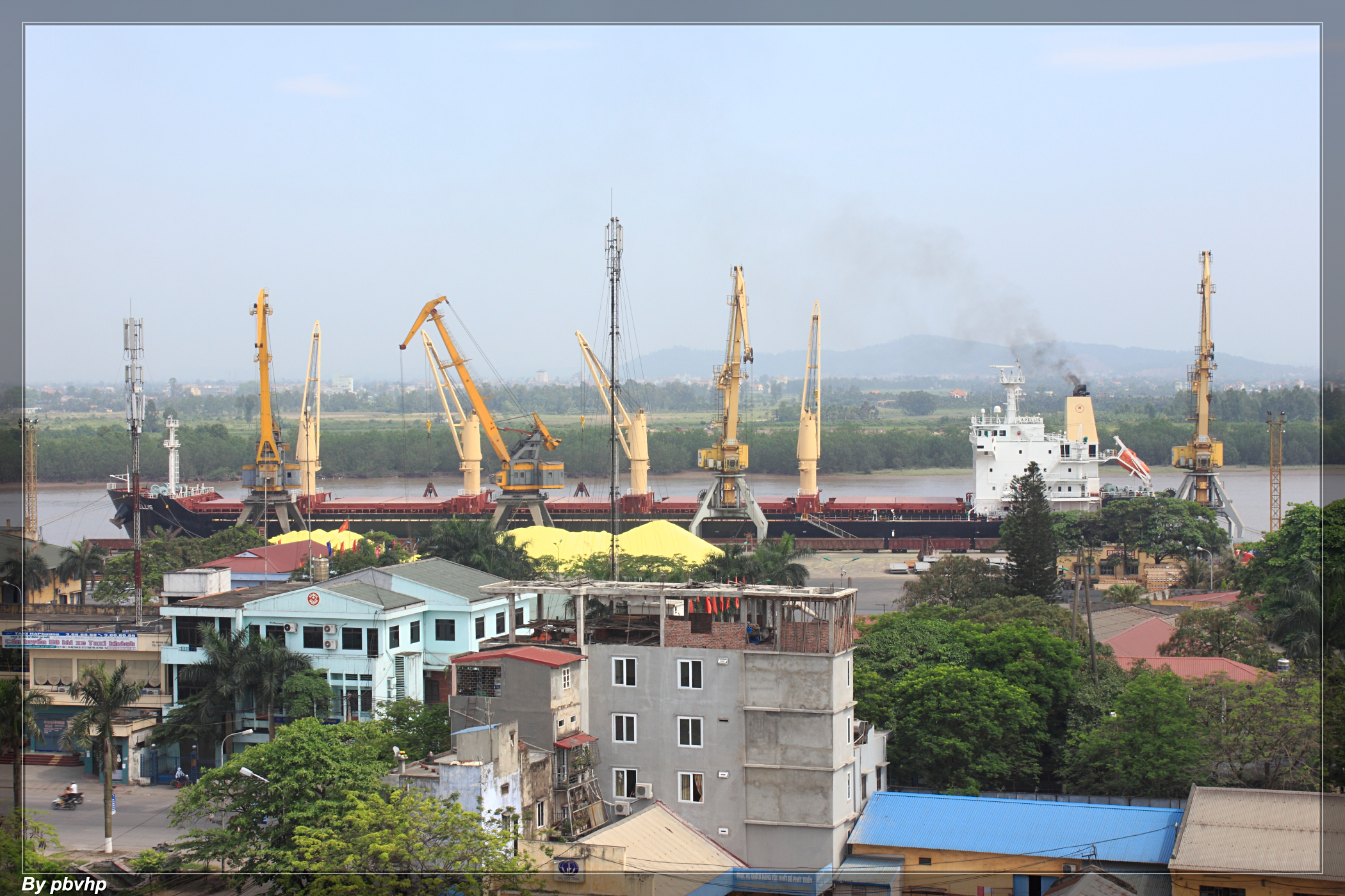
M/V Apellis at Haiphong Main Port

Vietnam - Haiphong - Depart from the station

Linh tinh...随拍

nature_DSC0035-1

Chơi núi An Lão

AURORA DSC_0110-1

sunset DSC_0127-1

iPhone shot

DSC_0029 (2)-Edit

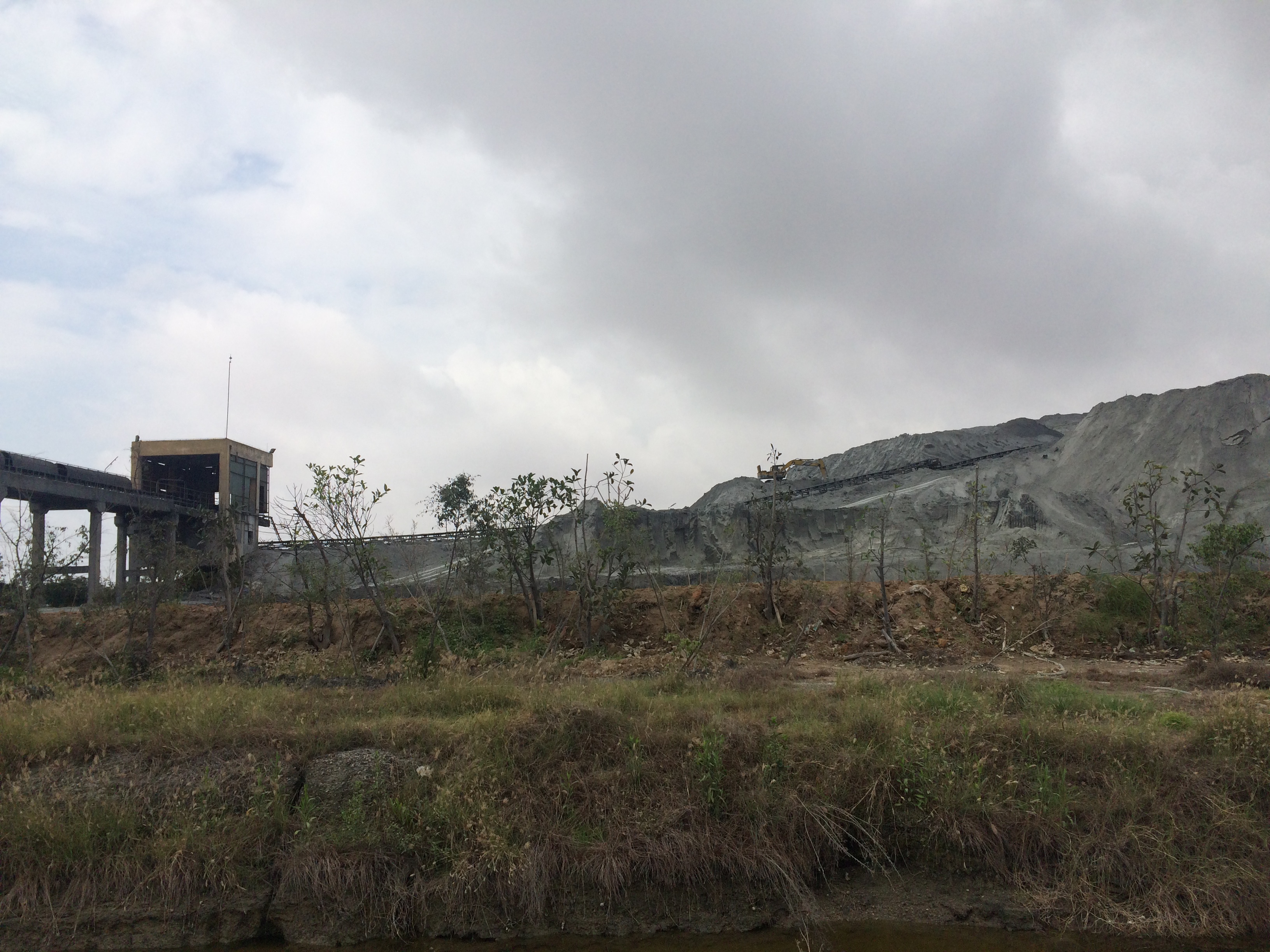
Xi măng Chinfon, Minh đưc, Hải phòng

sunset _ DSC0256-1
iPhone shot

Cau binh

iPhone shot

#vietnam #dalat #2015

Mitä kuuluu?

Hoàng hôn trên sông
Cát Bà 4/2015

Hoàng hôn trên bến Quang Thanh(04-06-2011)

WP_20140710_13_03_06_Pro[1]
CameraZOOM-20130706135148247
CameraZOOM-20130706164959877
Picture OPPOX909 23012014 618
Topographic Map of Hai Phong, Haiphong, Vietnam
Find elevation by address:

Places near Hai Phong, Haiphong, Vietnam:
Nguyen Cong Tru Street Primary School
Lê Chân
Vinpearl Golf Haiphong
Vinpearl Golf Hai Phong
De Heus Hai Phong
Tt. Trường Sơn
Haiphong
Song Gia Golf Resort
Song Gia Golf Resort
An Lão
Tiên Lãng
Tiên Lãng
Hai Duong
Thai Binh
Thái Bình
Hưng Hà District
Văn Lâm
Nam Định
CÔng Ty CỔ PhẦn Mavin Austfeed - Nhà Máy Thức ăn Chăn Nuôi
Công Ty Cổ Phần Thức ăn Chăn Nuôi Thái Dương
Recent Searches:
- Elevation of Fern Rd, Whitmore, CA, USA
- Elevation of 62 Abbey St, Marshfield, MA, USA
- Elevation of Fernwood, Bradenton, FL, USA
- Elevation of Felindre, Swansea SA5 7LU, UK
- Elevation of Leyte Industrial Development Estate, Isabel, Leyte, Philippines
- Elevation of W Granada St, Tampa, FL, USA
- Elevation of Pykes Down, Ivybridge PL21 0BY, UK
- Elevation of Jalan Senandin, Lutong, Miri, Sarawak, Malaysia
- Elevation of Bilohirs'k
- Elevation of 30 Oak Lawn Dr, Barkhamsted, CT, USA